MAP DETAILS | |
|---|---|
| TITLE | Mammoth Cave |
| STATE | Kentucky |
| SURVEYED | 1921 and 1922 Field Survey |
| GEOGRAPHER | C.W. Goodlove |
| PRINT NOTES | Thick paper stock, includes woodland tint (green to indicate vegetated areas) |
| SCALE | 1:62500 |
| CONTOUR INTERVAL | 20 feet |
| SHEET DIMENSIONS | 17 7/8 x 21 7/8 inches |
| MAP DIMENSIONS | 14 x 17 1/2 inches |
| COVERAGE AREA | 14 x 17 miles |
| SHEET CONDITION For maps of this vintage, effort is made to note all visible flaws, no matter how minor. | |
| SHEET NOTES | very lightly handled, never folded, smooth and flat |
| MAP AREA | flawless map area |
| COLLARS | no wear or tears, no markings, no blemishes |
| MAP COVERAGE Quadrangle extent overlaid on current basemap. | |
| PLACENAMES Depending on map series and survey date, all of the features listed below may not be shown on this map. This list contains features that currently exist or historically existed within the area covered by the map. The list can be used as a reference to determine if this map covers your area of interest. Placenames are listed alphabetically next to each feature type. | |
| NOTABLE PLACES | Smiths Grove, Park City, and Green River |
| CITIES AND TOWNS (CURRENT) | Brownsville, Mammoth Cave, and Oakland |
| COUNTIES COVERED | Barren, Edmonson, Hart, and Warren |
| FEDERAL LAND UNITS | Mammoth Cave National Park |
| RIVERS AND STREAMS | Beaverdam Creek, Blowing Spring Branch, Dry Branch, Dry Prong Buffalo Creek, Dry Run, Gardner Creek, Laurel Branch, Little Beaver Creek, Little Sinking Creek, Mill Branch, Nolin River, Pine Creek, Second Creek, Sinking Branch, Sinking Creek, and Ugly Creek |
| WATER BODIES | First Creek Lake |
| Locations: Adwell Pumphouse, Bransford Pumphouse, Houchins Ferry, Dennison Ferry, Dripping Spring, Fairview, Flint Ridge Ranger Station, Great Onyx Cave Pumphouse, Great Onyx Job Corps Center, Maple Springs Group Campground, Mount McKinley Pumphouse, and Three Springs Pumphouse. Mountains, Peaks, and Summits: Bald Knob, Barrett Knob, Brooks Knob, Brushy Knob, Cox Knob, Crumps Knob, Goblin Knob, High Point, Indian Hill, Little Knob, and Pilot Knob. Valleys and Canyons: Big Hollow, Big Spring Hollow, Bruce Hollow, Carpenter Hollow, Chicken Hollow, Holton Hollow, Houchin Hollow, Cotton Gin Hollow, Cow Ford Hollow, Deer Park Hollow, Fishtrap Hollow, Floating Mill Hollow, McCoy Hollow, Morrison Hollow, Opossum Hollow, Pigeon Hollow, Poteet Hollow, Raymer Hollow, Raymond Hollow, Rigdon Hollow, Sal Hollow, Sand Cave Hollow, Sank Hollow, Stillhouse Hollow, Sugarcamp Hollow, Taylor Coates Hollow, Three Sisters Hollow, Wildcat Hollow, and Wilson Cave Hollow. Woods: Big Woods. Parks: Mammoth Cave National Park. Trails: Echo River Spring Trail and Green River Bluffs Trail. Drainages: Brushy Fork, Buffalo Creek, Blair Spring Branch, Blowing Spring Branch, Dry Branch, Dry Prong Buffalo Creek, Dry Run, Echo River, First Creek, Gardner Creek, Little Sinking Creek, Mill Branch, Nolin River, Pine Creek, Running Branch, Second Creek, Sinking Branch, Sinking Creek, River Styx, Ugly Creek, and Wet Prong Buffalo Creek. Islands: Bush Island, Boardcut Island, Cave Island, Crump Island, Floating Mill Island, Lucky Island, Sand Cave Island, Stice Island, and Three Sisters Island. Churches: Beaver Dam Chapel, Beaver Dam Church, Cedar Hill Church, Icy Sink Church, Fairview Church, Freedom Church, Good Spring Church, Green Meadows Church, Joppa Church, Liberty Church, Liberty Hill Church, Little Hope Church, Loving Spring Church, Mammoth Cave Baptist Church, Mount Vernon Church, Oak Forest Church, Oak Grove Church, Silent Grove Baptist Church, Stockholm Church, Stony Point Church, Walnut Hill Church, and Woodland Church. Lakes and Ponds: Doyels Big Pond and First Creek Lake. Bluffs: Nappers Rollover. Bends: Turnhole Bend. Basins: Cedar Sink, Cedar Spring Valley, Houchins Valley, Hunts Sink, Double Cellars, Double Sinks, Doyel Valley, Eaton Valley, Hamilton Valley, Katy Pace Valley, Mammoth Dome Sink, Monroe Sink, Owens Valley, Smith Valley, Strawberry Valley, Sugar Sink, and Woolsey Valley. Ridges: Collie Ridge, Flint Ridge, Jappa Ridge, Jim Lee Ridge, Joppa Ridge, The Knobs, Mammoth Cave Ridge, and Toohey Ridge. Towers: WQQB-TV (Bowling Green). Springs: Adwell Spring, Big Spring, Boiling Spring, Blair Spring, Blue Spring, Bransford Spring, Collins Spring, Cooper Spring, Good Spring, Pike Spring, Three Springs, and Turnhole Spring. | |
| SHIPPING AND RETURNS | |
 Ships carefully rolled in a sturdy 2" x 18" mailing tube. Shipping and return details are in our terms. | |
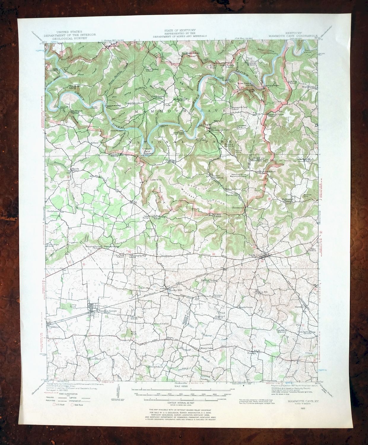
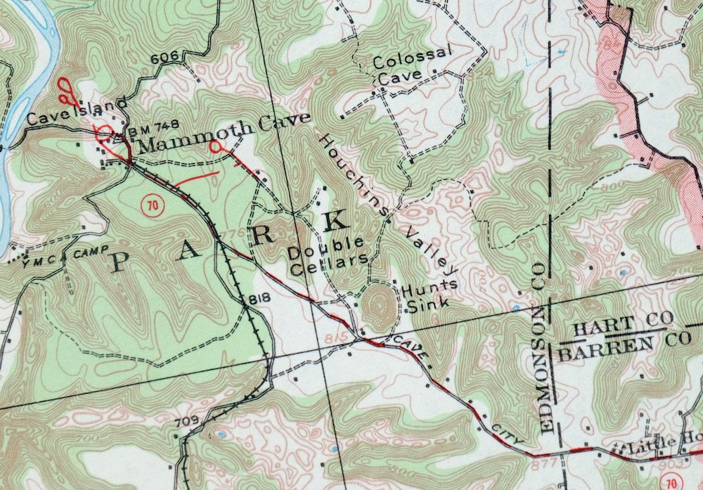
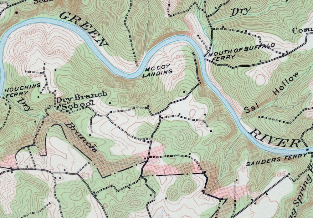
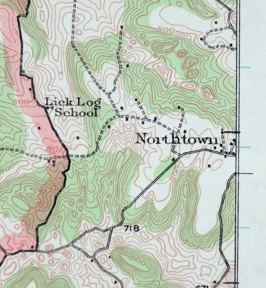
Mammoth Cave, Kentucky 1922 USGS Topo Map (1969 Print)
$28
- Mammoth Cave National Park, vicinity of Brownsville.
- 15-minute series, 1922 edition, printed in 1969.
- Excellent condition, never folded.
In stock
This vintage sheet is a 1922 edition of the Mammoth Cave Kentucky USGS topographic map. It is an original 57-year-old 1969 United States Geological Survey print in excellent condition.
HOW THIS MAP CAN BE USED
In addition to making a fascinating conversation piece, this sheet would look great in a frame or on display, make a unique and prized gift for anyone interested in this area, be perfect as a reference for genealogy studies or general historical research, or fill that missing piece in your collection. Maps of this vintage are printed on durable stock and are well-suited for outdoor activities and recreation of all kinds, including hiking, backpacking, hunting, rafting and kayaking, backcountry skiing, geocaching, general exploration, treasure hunting, etc.
FEATURES SHOWN ON THE MAP
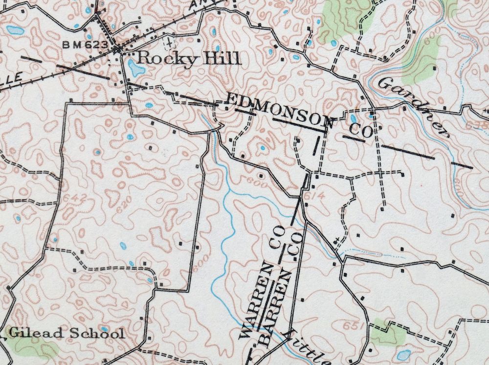
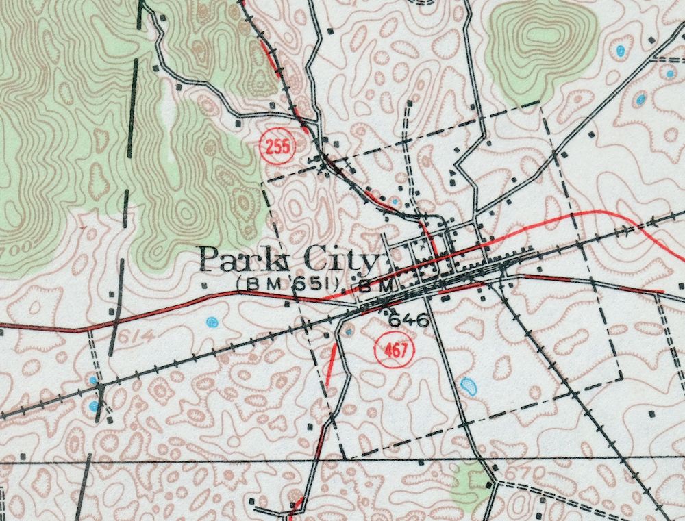
The Mammoth Cave 15-minute map shows cities and towns, roads, railroads, utilities and energy infrastructure, rivers, creeks, elevation contour lines, public land survey lines, county, state, and other administrative boundaries as they existed at the time of the survey in 1921 and 1922. All known structures (houses, businesses, churches, schools, barns, cabins, etc) are also shown, with exceptions in some urban areas, where only landmark buildings may be shown.
A VALUABLE HISTORICAL RECORD
Maps from the 15-minute series for the continental United States are no longer produced or printed by the USGS and original prints are becoming increasingly difficult to find. They are a valuable historical record for an area, as they contain many placenames and features that have been dropped from more recent maps.
Nearby maps
-

1952 USGS Topo Map: Goodlettsville, Old Hickory, Tennessee
$43 Add to cart -
1968 USGS Topo Map: Goodlettsville, Old Hickory, Tennessee
$45 Add to cart -
1957 USGS Topo Map: Nashville East, Lakewood, Tennessee
$40 Add to cart -
1968 USGS Topo Map: Nashville East, Lakewood, Tennessee
$40 Add to cart -
Cookeville West, Tennessee 1953 USGS Topo Map (1975 Print)
$39 Add to cart -

Nashville West, Tennessee 1968 USGS Topo Map
$40 Add to cart -
Antioch, South Nashville, Tennessee 1968 USGS Topo Map
$42 Add to cart -
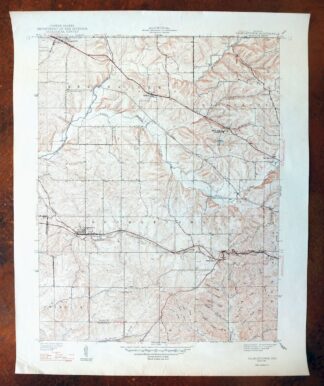
Georgetown, Indiana 1947 USGS Topo Map: Galena
$31 Add to cart -
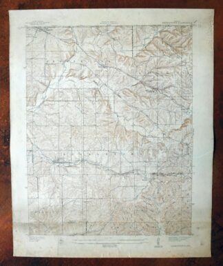
1939 USGS Topo Map: Georgetown, Galena, Indiana
$26 Add to cart -
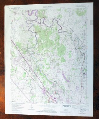
Walterhill, Tennessee 1950 USGS Topo Map (1984 Print)
$26 Add to cart -

Speed, Indiana 1947 USGS Topo Map: Clarksville
$26 Add to cart -

1947 USGS Topo Map: Farmington, Tennessee (1968 Print)
$35 Add to cart -
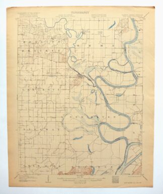
1906 USGS Topo Map: New Haven, Ridgway, Illinois/Indiana
$38 Add to cart -
Manchester, Kentucky 1891 USGS Topo Map (1917 Print)
$44 Add to cart -
1966 USGS Topo Map: Bearden, Cedar Bluff, Tennessee
$41 Add to cart -
1978 USGS Topo Map: Bearden, Cedar Bluff, Tennessee
$36 Add to cart -

1953 USGS Topo Map: Fountain City, Knoxville, Tennessee
$46 Add to cart -
1966 USGS Topo Map: Fountain City, Knoxville, Tennessee
$42 Add to cart -
1917 USGS Topo Map: Birds, Flat Rock, Illinois/Indiana
$62 Add to cart -

1953 USGS Topo Map: John Sevier, Knoxville, Tennessee
$37 Add to cart -
John Sevier, Knoxville, Tennessee 1978 USGS Topo Map
$33 Add to cart -
John Sevier, Knoxville, Tennessee 1966 USGS Topo Map
$46 Add to cart -
South Cleveland, Tennessee 1965 USGS Topo Map: Hopewell
$37 Add to cart -
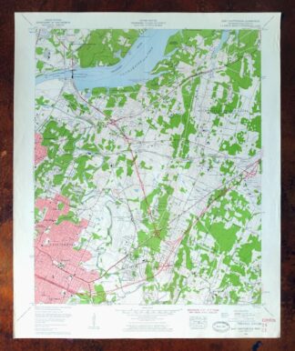
East Chattanooga, Cannondale, Tennessee 1958 USGS Topo Map
$37 Add to cart