MAP DETAILS | |
|---|---|
| TITLE | Quincy |
| STATE | Illinois, Missouri |
| LOCATION | 80 miles northeast of Columbia, MO |
| SERIES | 15-minute |
| SURVEYED | 1922 and 1940 Aerial and Field Survey |
| GEOGRAPHER | J.H. Jennings |
| EDITION | 1944 |
| REVISIONS | Aerial revision in 1944. |
| PRINTED | 1962 |
| PRINT NOTES | Thick paper stock, includes woodland tint (green to indicate vegetated areas) |
| SCALE | 1:62500 |
| CONTOUR INTERVAL | 20 feet |
| SHEET DIMENSIONS | 17 x 21 inches |
| MAP DIMENSIONS | 13 3/8 x 17 1/2 inches |
| COVERAGE AREA | 13 x 17 miles |
| SHEET CONDITION For maps of this vintage, effort is made to note all visible flaws, no matter how minor. | |
| OVERALL CONDITION | Very Good |
| SHEET NOTES | lightly handled, never folded |
| MAP AREA | no wear, no markings, no blemishes |
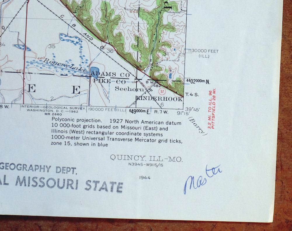
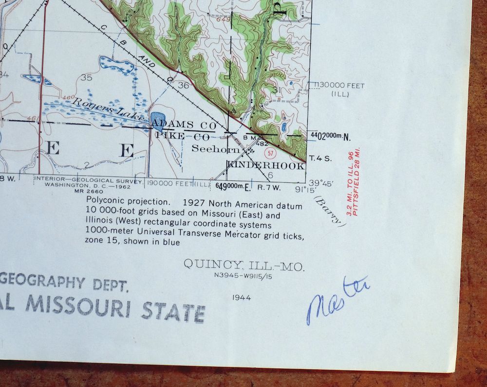
| COLLARS | no wear or tears, no blemishes, library stamp and inventory notation in bottom right collar, hole punches along left collar |
 | |
| MAP COVERAGE Quadrangle extent overlaid on current basemap. | |
| PLACENAMES Depending on map series and survey date, all of the features listed below may not be shown on this map. This list contains features that currently exist or historically existed within the area covered by the map. The list can be used as a reference to determine if this map covers your area of interest. Placenames are listed alphabetically next to each feature type. | |
| CITIES AND TOWNS (CURRENT) | Fall Creek, Hannibal, Payson, and Quincy |
| COUNTIES COVERED | Adams, Lewis, Marion, and Pike |
| FEDERAL LAND UNITS | Mark Twain National Wildlife Refuge (Gardner Division) |
| RIVERS AND STREAMS | Austin Creek, Bear Creek, Burton Creek, Cedar Creek, Clear Creek, Curtis Creek, Durgens Creek, Eagle Slough, Emery Creek, Fabius River, Fall Creek, Homan Creek, Lazy Branch, Little Mill Creek, Mill Creek, Mississippi River, Nelsons Branch, North River, Rock And Ursa Creek Diversion Canal, Rock Creek, and South River |
| WATER BODIES | Bay De Charles, Big Lake, Goose Lake, Heather Bay, Lily Pond, Sand Lake, Schaffer Pond, Snyder Lake, Spring Lake, and Turtle Lake |
| Illinois Locations: Bluff Hall, Camp Sacajawea, Cedar Creek Country Club, Harrison Street Plaza Shopping Center, Quincy Commons Shopping Center, Quincy Country Club, Quincy Mall Shopping Center, Quincy Municipal Golf Course, State And Eighth Plaza Shopping Center, Valley View Campground, and Whitney. Administrative Boundaries: Township of Ellington, Township of Fall Creek, Township of Melrose, Township of Quincy, and Township of Riverside. Valleys and Canyons: Distillery Hollow, Ghost Hollow, and Possum Hollow. Parks: All America City Park, Berrian Park, Bicentennial Park, Canton Chute Public Use Area, Downtown Quincy Historic District, Edgewater Park, Indian Mounds Park, Johnson Park, Lenane Park, Madison Park, Mark Twain Wildlife Refuge, Old Sny Public Use Area, Parker Heights Park, Progress Park, Quincy East End Historic District, Reservoir Park, Riverview Park, Sid Simpson State Park, South Park, Sunset Park, Villa Katherine Park, Washington Park, Wavering Park, and Westview Park. Drainages: Austin Creek, Bear Creek, Burton Creek, Cedar Creek, Curtis Creek, Emery Creek, Frazier Creek, Homan Creek, Little Mill Creek, and Mill Creek. Islands: Beebe Island, Deadman Island, Hogback Island, McDonald Island, Quinsippi Island, Schaffer Island, Teal Island, Ward Island, and Willow Island. Mines: Marblehead Quarry, Menke Quarry, and Mill Creek Quarry. Churches: Bethel African Methodist Episcopal Church, Bethel Assembly of God Church, Bluff Hall Church, Calvary Baptist Church, Calvary Tabernacle, Cathedral of Worship Church, Central Baptist Church, Christ Lutheran Church, Columbus Road Baptist Church, Ellington Memorial Presbyterian Church, Emmanuel Nazarene Church, First Baptist Church, First Christian Church, First Southern Baptist Church, First Union Congregational Church, Free Methodist Church, Gethsemane Gospel Church, Grace United Methodist Church, Grandview Baptist Church, Immanuel Baptist Church, Living World Fellowship Church, Luther Memorial Lutheran Church, Melrose Chapel United Methodist Church, Our Redeemer Lutheran Church, Parkview Church, Payson Avenue Community Church, River of Life Christian Center, Saint Anthony Roman Catholic Church, Saint Boniface Roman Catholic Church, Saint Francis Solanus Roman Catholic Church, Saint James Lutheran Church, Saint John Lutheran Church, Saint Johns Anglican Church, Saint Johns Episcopal Church, Saint Johns Roman Catholic Church, Saint Marys Roman Catholic Church, Saint Peters Roman Catholic Church, Saint Rose of Lima Roman Catholic Church, Salem Evangelical United Church of Christ, Shalom Fellowship Church, Temple B'nai Sholom, Trinity United Church of Christ, Union Baptist Church, Union United Methodist Church, Unity Church of Quincy, Vermont Street United Methodist Church, and Vineyard Christian Fellowship Church. Hospitals: Blessing Hospital and Saint Mary Hospital. Lakes and Ponds: Big Lake, Bluebill Lake, Circle Pond, Croppie Lake, Goose Lake, Sand Lake, Schaffer Pond, Snyder Lake, Spring Lake, Turtle Lake, and Twin Lake. Buildings: Adams County Youth Home, Augustine Residence Hall, Brenner Library, Centennial Residence Hall, Ellington Townhall, Francis Hall, Gardner Museum of Architecture and Design, Garner Residence Hall, Illinois Soldiers and Sailors Home, Lincoln-Douglas Valentine Museum, Lind Street Residence Hall, Memorial Gymnasium, North Campus Gymnasium, Padua Residence Hall, Quincy City Hall, Quincy Museum, Quincy Public Library, and Solano Hall. Waterfalls: Homan Falls. Dams: Lock and Dam Number 21 and Mayer Pond Dam. Channels: Texas Chute and The Sny. Bridges: Bay View Bridge and Quincy Memorial Bridge. Bays: Quincy Bay. Basins: Austin Creek Settling Basin and Fall Creek Settling Basin. Airports: Blessing Hospital Heliport, Ellington Field, Mast Field, Saint Mary Hospital Emergency Heliport, and Seigfried Halfpap Airport. Schools: Adams Elementary School, Berrian Alternative School, Chaddock Boys School, Dewey Elementary School, Ellington Elementary School, Emerson School, Franklin School, Highland-Riverside School, Irving Elementary School, Jackson School, Jefferson School, John Wood Community College, Madison School, Monroe Elementary School, Notre Dame High School, Our Lady of Angels Seminary, Quincy Junior High School, Quincy Notre Dame High School, Quincy Senior High School, Quincy University, Saint Anthonys School, Saint Boniface School, Saint Dominic School, Saint Francis School, Saint James School, Saint John School, Saint Marys School, Saint Peters School, Washington Elementary School, and Webster School. Reservoirs and Tanks: Mayer Pond. Flats: Alstynes Prairie. Towers: WGCA-FM (Quincy), WGEM-AM (Quincy), WGEM-FM (Quincy), WGEM-TV (Quincy), WQCY-FM (Quincy), WQEC-TV (Quincy), WTAD-AM (Quincy), WTJR-TV (Quincy), WWQC-FM (Quincy), and WZLZ-FM (Quincy). Springs: Cole Spring and Wand Spring. | |
| Missouri Locations: Bay Mill and Keyes' Ferry. Areas: Bullians Landing. Drainages: Clear Creek, Cottonwood Chute, Durgens Creek, Fabius River, Lazy Branch, North River, Old Channel North Fabius River, South River, and Walkers Slough. Islands: Bay Island, Cottonwood Island, Fabius Island, Murphy Island, Orton Island, Poage Island, and Whitney Island. Lakes and Ponds: Heather Bay, Horseshoe Pond, and Shanty Bend Pond. Levees: South River Levee. Dams: Lock and Dam Number Twenty-one. Bayous and Sloughs: Crooked Slough, Eastern Slough, and Rock Ridge Slough. Bridges: Quincy Memorial Bridge. Bends: Big Bend. Airports: Cyanamid-Hannibal Heliport. Schools: Bier School, Bates School, Bay Island School, Cloverdale School, Maple Grove School, Marion School, Mark School, Rainbow School, Suter School, and Willow Bend School. Reservoirs and Tanks: Bay De Charles. Towers: KIDS-FM (Palmyra). Springs: Whaley Spring. | |
| SHIPPING AND RETURNS | |
 This map sheet will be carefully rolled in a sturdy tube and shipped via the US Postal Service. If you find that the sheet you receive is not as described in the listing, you may ship it back to us for a refund of the purchase price. | |
Quincy Illinois Hannibal Payson USGS Topo Map 1962 Vintage
$43
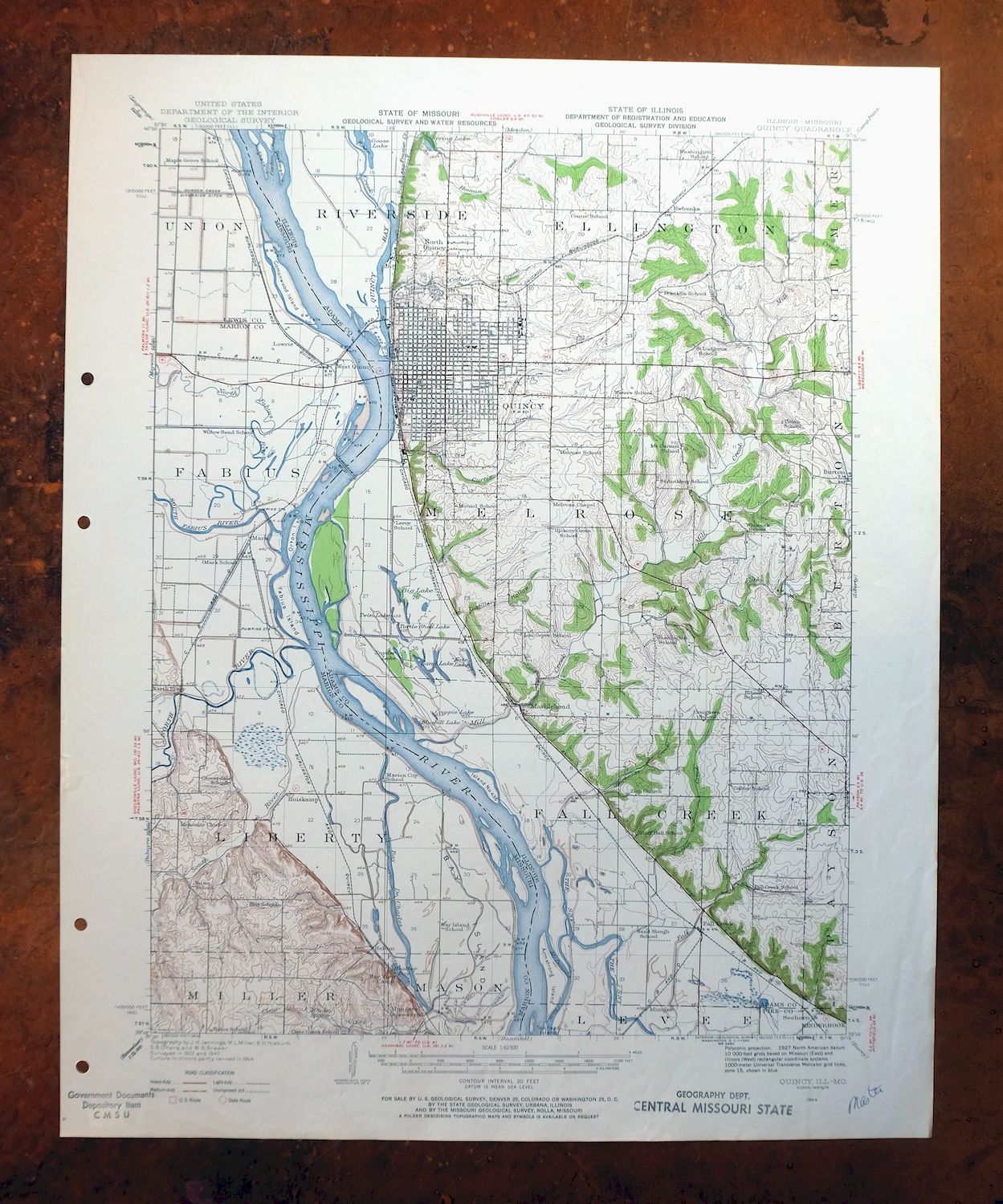
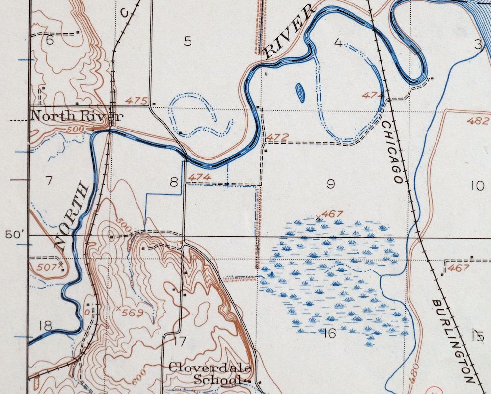
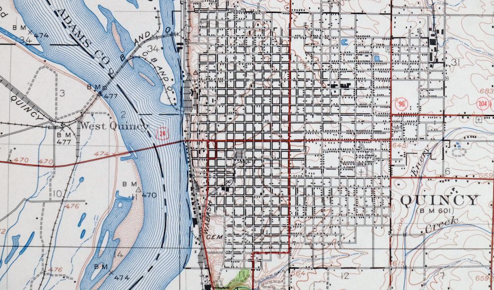
This USGS 15-minute topographic map is a 1944 edition, printed in 1962, and the sheet is in very good condition—lightly handled and never folded, on thick stock. Straddling the Illinois-Missouri line along the Mississippi River, the quad area takes in Quincy on the Illinois side and Hannibal in Missouri, along with Payson, Fall Creek, and part of the Gardner Division of the Mark Twain National Wildlife Refuge. Drawn from 1922 and 1940 aerial and field survey, it captures the river towns and floodplain on either side of the Mississippi as they stood in the 1940s. The collar carries a library stamp and inventory notation in the bottom right and hole punches along the left edge, while the mapped area shows no wear or markings.
In stock
This vintage sheet is a 1944 edition of the Quincy Illinois USGS topographic map revised in 1944 using aerial photography. It is an original 64-year-old 1962 United States Geological Survey print in very good condition.
HOW THIS MAP CAN BE USED
In addition to making a fascinating conversation piece, this sheet would look great in a frame or on display, make a unique and prized gift for anyone interested in this area, be perfect as a reference for genealogy studies or general historical research, or fill that missing piece in your collection. Maps of this vintage are printed on durable stock and are well-suited for outdoor activities and recreation of all kinds, including hiking, backpacking, hunting, rafting and kayaking, backcountry skiing, geocaching, general exploration, treasure hunting, etc.
FEATURES SHOWN ON THE MAP
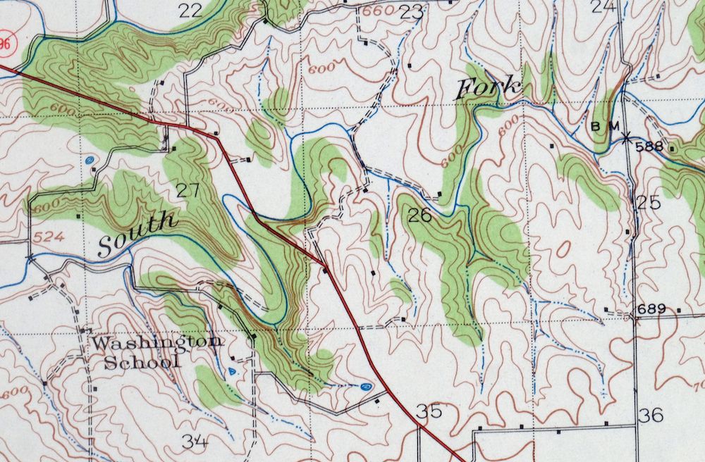
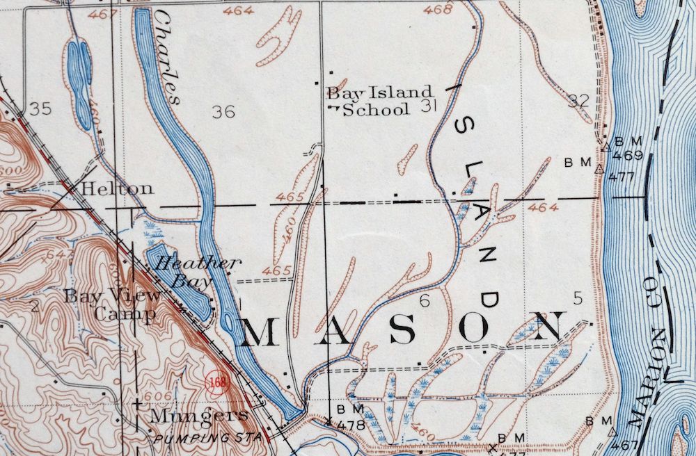
The Quincy 15-minute map shows cities and towns, roads, railroads, utilities and energy infrastructure, rivers, creeks, elevation contour lines, public land survey lines, county, state, and other administrative boundaries as they existed at the time of the survey in 1922 and 1940. All known structures (houses, businesses, churches, schools, barns, cabins, etc) are also shown.
A VALUABLE HISTORICAL RECORD
Maps from the 15-minute series for the continental United States are no longer produced or printed by the USGS and original prints are becoming increasingly difficult to find. They are a valuable historical record for an area, as they contain many placenames and features that have been dropped from more recent maps.
Nearby maps
-
Colchester Illinois Plymouth Tennessee USGS Topo Map 1913
$25 Add to cart -

Pearl Illinois Kampsville Eldred USGS Topo Map 1956 Vintage
$40 Add to cart -
La Harpe Illinois Stronghurst Raritan USGS Topo Map 1918
$49 Add to cart -

Hardin Illinois Fieldon Batchtown USGS Topo Map 1964 Vintage
$42 Add to cart -
Alton Illinois Godfrey East Alton USGS Topographic Map 1986
$37 Add to cart -
Florissant Missouri Hazelwood Ferguson USGS Topo Map 1982
$38 Add to cart -
Bethalto Illinois Alton Wood River USGS Topographic Map 1977
$43 Add to cart -
Springfield East Illinois Sherman USGS Topo Map 1973 Vintage
$32 Add to cart -
Raymond Illinois Farmersville Waggoner USGS Topo Map 1925
$46 Add to cart -

Woodhull Illinois Wataga Windsor USGS Topo Map 1947 Vintage
$20 Add to cart -

Granite City Illinois St. Louis Jennings USGS Topo Map 1982
$48 Add to cart -

Cahokia Illinois St. Louis Dupo USGS Topographic Map 1975
$50 Add to cart -

Sullivan Missouri Mark Twain NF Union USGS Topo Map 1916
$42 Add to cart -
Pleasant Mound Illinois Tamalco USGS Topographic Map 1977
$28 Add to cart -
Carlyle Illinois Beckemeyer Huey USGS Topographic Map 1910
$40 Add to cart -
Renault Illinois Ste. Genevieve Red Bud USGS Topo Map 1915
$45 Add to cart -
Potosi Missouri Mark Twain NF Caledonia USGS Topo Map 1906
$55 Add to cart -
Patoka Illinois Vernon Shobonier USGS Topo Map 1977 Vintage
$32 Add to cart -

Effingham Illinois Altamont Watson USGS Topographic Map 1964
$50 Add to cart -

Chester Missouri Perryville Saint Mary USGS Topo Map 1964
$44 Add to cart -
Ironton Missouri Mark Twain NF Pilot Knob USGS Topo Map 1968
$37 Add to cart -
Forreston Illinois Freeport Shannon USGS Topo Map 1972
$14 Add to cart -
Lancaster Wisconsin Dubuque Asbury USGS Topographic Map 1953
$30 Add to cart -

Jonesboro Illinois Cape Girardeau Anna USGS Topo Map 1963
$42 Add to cart
