MAP DETAILS | |
|---|---|
| TITLE | Shaver Lake |
| STATE | California |
| LOCATION | Vicinity of Auberry, 35 miles northeast of Fresno |
| SERIES | 15-minute |
| SURVEYED | 1948 and 1953 Aerial and Field Survey |
| EDITION | 1953 |
| PRINTED | 1973 |
| PRINT NOTES | Thick paper stock, includes woodland tint (green to indicate vegetated areas) |
| SCALE | 1:62500 |
| CONTOUR INTERVAL | 80 feet |
| SHEET DIMENSIONS | 18 x 22 inches |
| MAP DIMENSIONS | 14 x 17 1/2 inches |
| COVERAGE AREA | 14 x 17 miles |
| SHEET CONDITION For maps of this vintage, effort is made to note all visible flaws, no matter how minor. | |
| OVERALL CONDITION | Very Good |
| SHEET NOTES | lightly handled, never folded |
| MAP AREA | flawless map area |
| COLLARS | very minor wear or tears, no markings, no blemishes |
| MAP COVERAGE Quadrangle extent overlaid on current basemap. | |
| PLACENAMES Depending on map series and survey date, all of the features listed below may not be shown on this map. This list contains features that currently exist or historically existed within the area covered by the map. The list can be used as a reference to determine if this map covers your area of interest. Placenames are listed alphabetically next to each feature type. | |
| NOTABLE PLACES | Meadow Lakes, Cascadel Woods, Tollhouse, and Auberry |
| CITIES AND TOWNS (CURRENT) | Pineridge and Shaver Lake |
| COUNTIES COVERED | Fresno and Madera |
| FEDERAL LAND UNITS | Kaiser Wilderness and Sierra National Forest |
| RIVERS AND STREAMS | Backbone Creek, Bald Mill Creek, Big Creek, Big Sandy Creek, Clearwater Creek, Gertrude Creek, Home Camp Creek, Hookers Creek, Italian Creek, Jose Creek, Musick Creek, North Fork Sycamore Creek, North Fork Willow Creek, Ordinance Creek, Peckinpah Creek, Ross Creek, Rush Creek, Saginaw Creek, San Joaquin River, Sand Creek, South Fork Willow Creek, Stevenson Creek, Sycamore Creek, Taylor Creek, Whisky Creek, and Willow Creek |
| WATER BODIES | Corrine Lake and Shaver Lake |
| Locations: Auberry Forest Service Station, Auberry Guard, Black Mountain Lookout, Camp Chawanakee, Camp Edison Campgrounds, Camp Mo-Wa-Ha, Cascadel Ranch, Clearwater Forest Service Station, Dora Belle, Dorabelle Campground, Ely Forest Service Station, Hogue Ranch, Lerona Fire Lane, Lion Point Fire Lane, Mammoth Pool Powerhouse, Mountain Rest Guard Station, Mountain Rest Station, Musick Guard Station, Peterson Mill, Pine Ridge Ranger Station, Powerhouse, Powerhouse Number Eight, Powerhouse Number One A, Powerhouse Number Two, Prescott Mill, Redinger Boat Ramp, and Swanson Meadows Campground. Areas: Backbone Creek Research Natural Area and Carpenteria Botanical Area. Reserves: Big Sandy Rancheria. Mountains, Peaks, and Summits: Bald Mountain, Backbone Mountain, Black Mountain, Black Point, Burrough Mountain, Cascadel Point, Castle Peak, Ely Mountain, Flume Peak, Lion Point, Mormon Hill, Musick Mountain, Source Point, Mount Stevenson, and Sugarloaf Hill. Valleys and Canyons: Alder Gulch, Big Creek Canyon, and Big Sandy Valley. Parks: North Fork Recreation Area Memorial Park. Drainages: Azalea Creek, Bald Mill Creek, Backbone Creek, Balsam Creek, Big Creek, Black Creek, Clearwater Creek, Ely Creek, Gertrude Creek, Hookers Creek, Indian Creek, Italian Creek, Jose Creek, Mill Creek, Mushroom Creek, Musick Creek, North Fork Stevenson Creek, North Fork Sycamore Creek, North Fork Willow Creek, Ordinance Creek, Peckinpah Creek, Pitcher Creek, Ross Creek, Saginaw Creek, Sheep Thief Creek, South Fork Willow Creek, Stevenson Creek, Summit Creek, Taylor Creek, Tollhouse Creek, Whisky Creek, and Willow Creek. Capes: Shaver Lake Point. Mines: Pine Grove Mine and San Joaquin Mines. Churches: Auberry Indian Mission and North Fork Indian Mission. Hospitals: Wish-I-Ah Sanatorium. Dams: Big Creek Number 5 104-005 Dam, Big Creek Number 6 104-006 Dam, Big Creek Number 7 104-022 Dam, Number 1 Forebay 95-004 Dam, and Shaver Lake 104-018 Dam. Bluffs: Big Sandy Bluff. Gaps: Soaproot Saddle. Bends: Horseshoe Bend. Basins: Hookers Cove and Jose Basin. Bars: Itallan Bar. Airports: Auberry Hydro Service Center Heliport and Big Creek Helistop. Schools: Auberry Elementary School, Chawanakee School, Chawanakee School Number One, Foothill Middle School, Pine Ridge School, Sierra Elementary School, and Sierra High School. Ridges: Long Ridge, Pine Ridge, and Whisky Ridge. Reservoirs and Tanks: Corrine Lake, Dam Six Lake, Redinger Lake, and Shaver Lake. Flats: Benedict Meadow, Chawanakee Flats, Corlew Meadows, Dawn Meadow, Ely Meadow, Kinsman Flat, Poison Meadow, Soaproot Flat, and Swanson Meadow. Towers: DRFM Radio Station, KAIL-TV (Fresno), KFCF-FM (Fresno), KFNO-FM (Fresno), KFSN-TV (Fresno), KFTV-TV (Hanford), KFYE-FM (Fresno), KJEO-TV (Fresno), KKDJ-FM (Fresno), KMSG-TV (Sanger), KNAX-FM (Fresno), KQPW-FM (Fresno), KVPR-FM (Fresno), and KXDR-FM (Auberry). Pillars: Mushroom Rock. | |
| SHIPPING AND RETURNS | |
 This map sheet will be carefully rolled in a sturdy tube and shipped via the US Postal Service. If you find that the sheet you receive is not as described in the listing, you may ship it back to us for a refund of the purchase price. | |
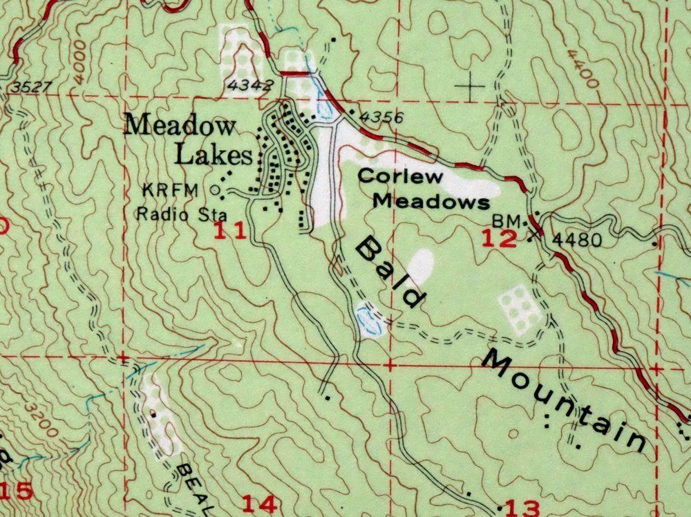
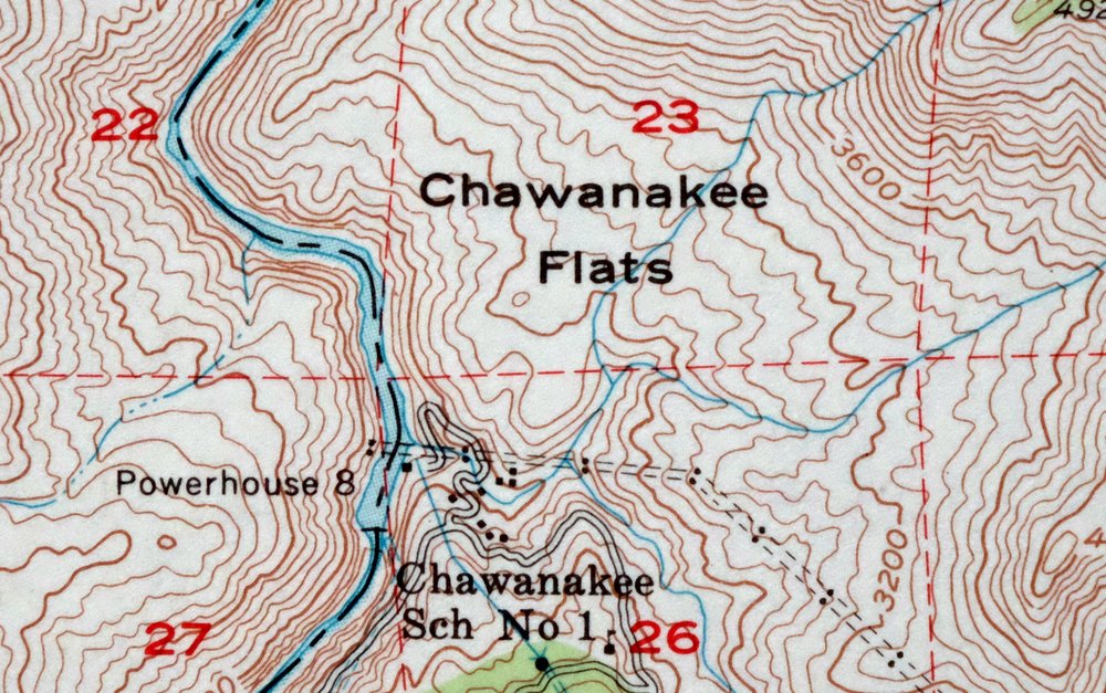
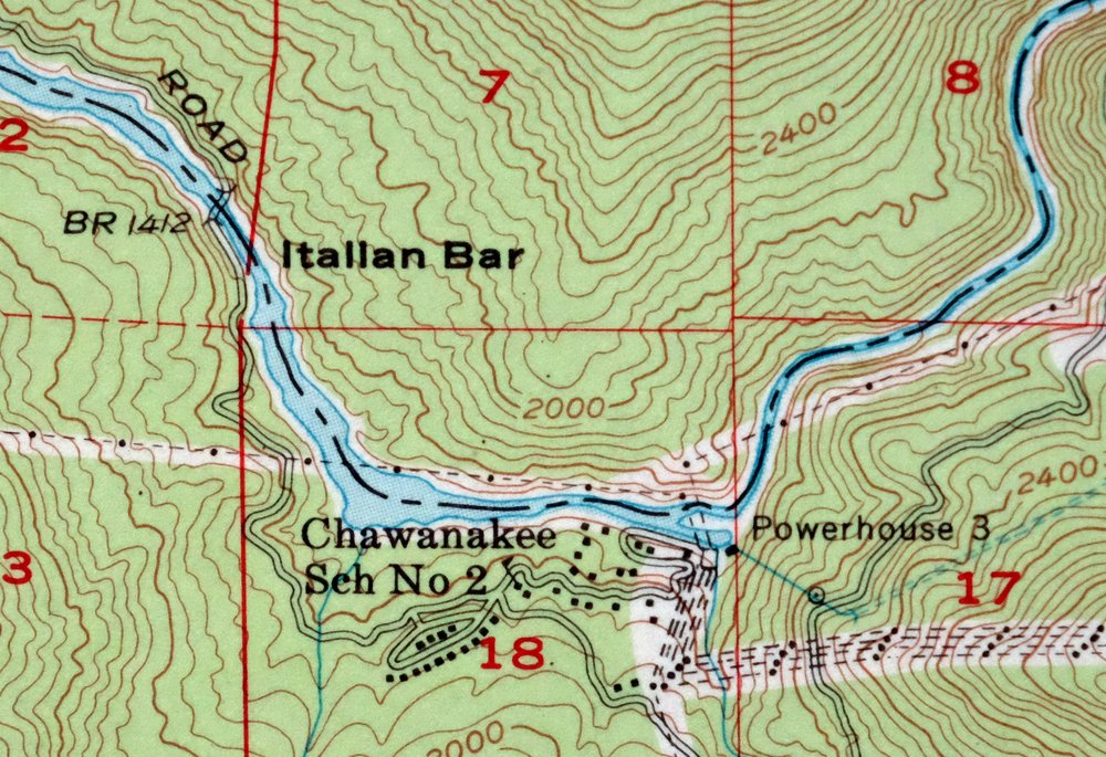
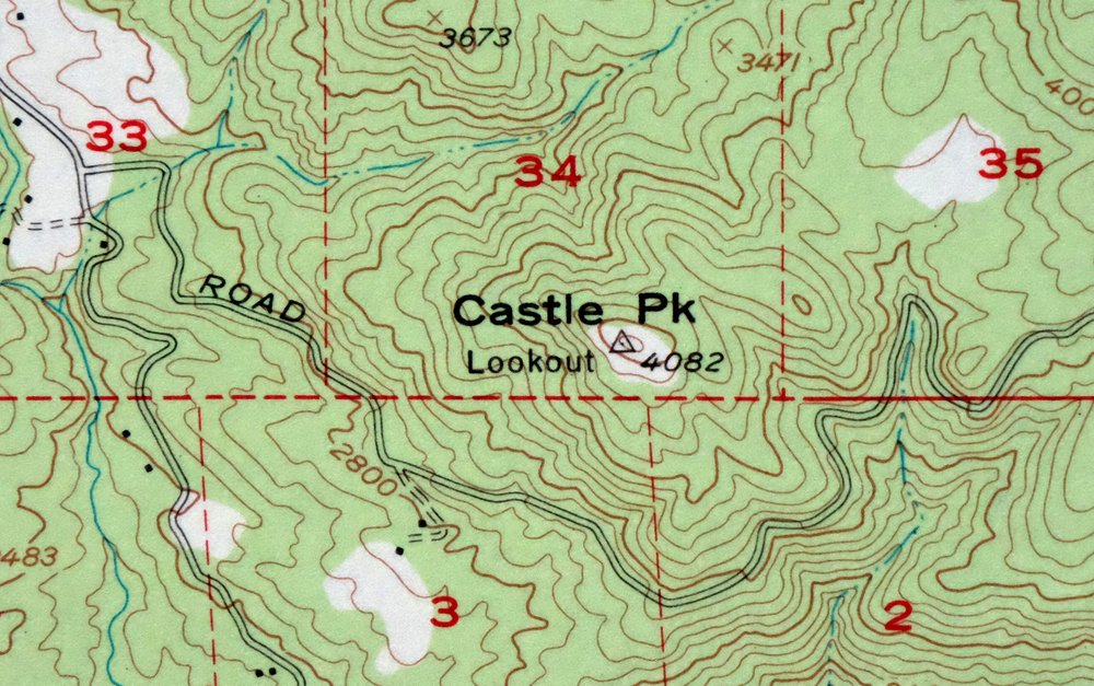
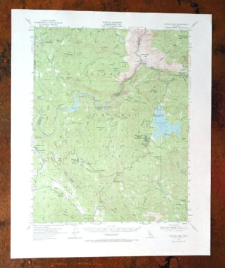
1973 USGS Topo Map: Shaver Lake, Meadow Lakes, California
$42
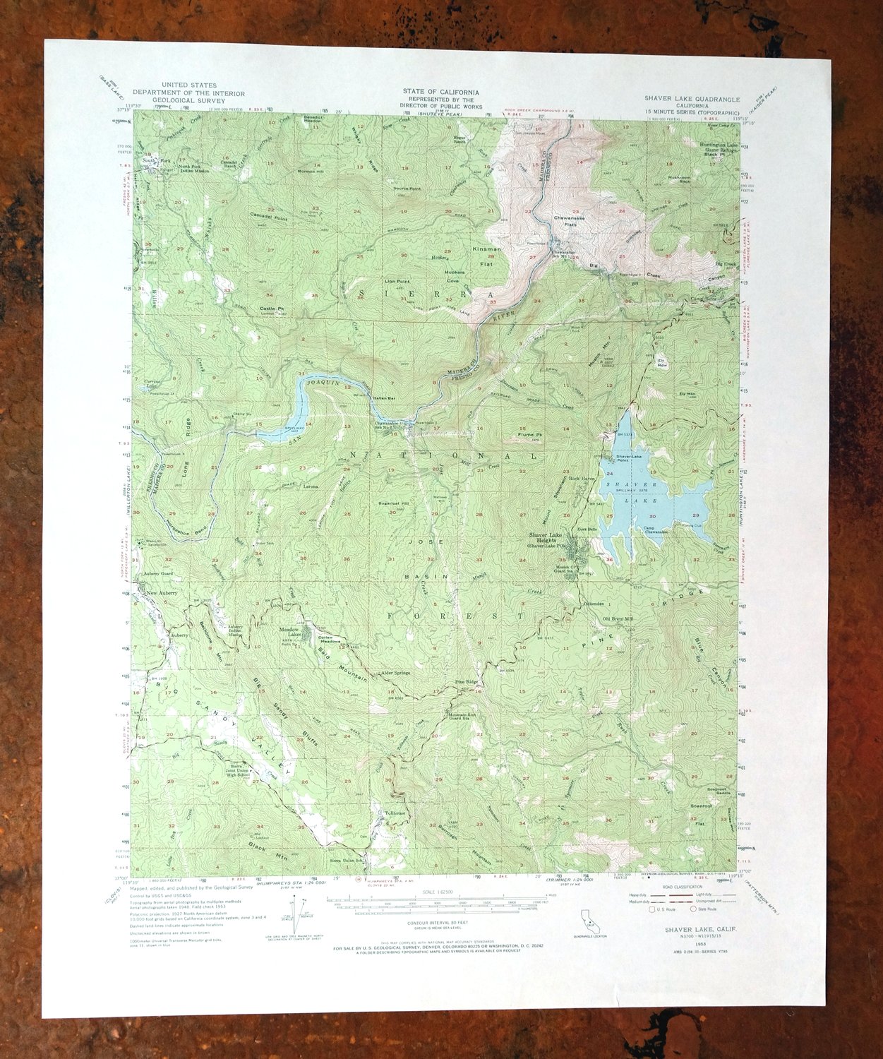
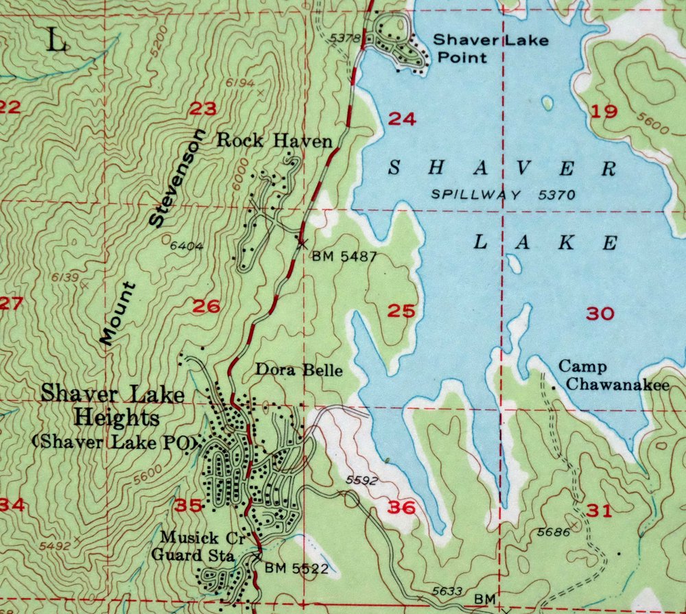
This USGS 15-minute topographic map covers the Shaver Lake quad in California’s Sierra Nevada foothills, a 1953 edition printed in 1973 at 1:62,500. The area sits in Fresno and Madera counties about 35 miles northeast of Fresno, taking in Shaver Lake, Pineridge, and portions of the Sierra National Forest and Kaiser Wilderness. The 80-foot contours trace steep country rising toward the high Sierra, and the green woodland tint marks the forested slopes. Never folded, with a flawless map area, it frames well.
In stock
This vintage sheet is a 1953 edition of the Shaver Lake California USGS topographic map. It is an original 53-year-old 1973 United States Geological Survey print in very good condition.
HOW THIS MAP CAN BE USED
In addition to making a fascinating conversation piece, this sheet would look great in a frame or on display, make a unique and prized gift for anyone interested in this area, be perfect as a reference for genealogy studies or general historical research, or fill that missing piece in your collection. Maps of this vintage are printed on durable stock and are well-suited for outdoor activities and recreation of all kinds, including hiking, backpacking, hunting, rafting and kayaking, backcountry skiing, geocaching, general exploration, treasure hunting, etc.
FEATURES SHOWN ON THE MAP
The Shaver Lake 15-minute map shows cities and towns, roads, railroads, utilities and energy infrastructure, rivers, creeks, elevation contour lines, public land survey lines, county, state, and other administrative boundaries as they existed at the time of the survey in 1948 and 1953. All known structures (houses, businesses, churches, schools, barns, cabins, etc) are also shown.
A VALUABLE HISTORICAL RECORD
Maps from the 15-minute series for the continental United States are no longer produced or printed by the USGS and original prints are becoming increasingly difficult to find. They are a valuable historical record for an area, as they contain many placenames and features that have been dropped from more recent maps.
Nearby maps
-
Huntington Lake California Shaver Lake USGS Topo Map 1968
$43 Add to cart -
Blackcap Mountain California USGS Topo Map 1972 Vintage
$40 Add to cart -
1973 USGS Topo Map: Mount Abbot, Sierra Nevada, California
$43 Add to cart -
Selma California Fresno Sanger USGS Topo Map 1954 Vintage
$35 Add to cart -

Le Grand California Madera Chowchilla USGS Topo Map 1963
$14 Add to cart -
Mount Morrison California Mammoth Lakes USGS Topo Map 1974
$52 Add to cart -

1968 USGS Topo Map: Mount Tom, Paradise, California
$45 Add to cart -
1954 USGS Topo Map: Visalia, Goshen, California
$44 Add to cart -
1973 USGS Topo Map: Tuolumne Meadows, California
$48 Add to cart -
1965 Triple Divide Peak California USGS Topo Map
$33 Add to cart -
Hetch Hetchy Reservoir California USGS Topo Map 1973 Vintage
$39 Add to cart -
1975 USGS Topo Map: Casa Diablo Mountain, California
$40 Add to cart -

Chowchilla California Le Grand El Nido USGS Topo Map 1962
$20 Add to cart -
1952 USGS Topo Map: Big Pine, California
$44 Add to cart -

Mount Pinchot California USGS 15-Min Topo Map 1969 Vintage
$18 Add to cart -

Merced California Planada USGS 15-Min Topo Map 1963 Vintage
$18 Add to cart -
Bishop California West Bishop Laws USGS Topographic Map 1969
$40 Add to cart -
1964 Cowtrack Mountain California USGS Topo Map: Mono Lake
$45 Add to cart -
Mount Whitney California USGS 15-Min Topo Map 1972 Vintage
$42 Add to cart -
Sanger Del Ray Clotho California USGS 7.5-Min Topo Map 1923
$30 Add to cart -
Kismet California Madera USGS 7.5-Min Topo Map 1948 Vintage
$32 Add to cart -

Raynor Creek California Chowchilla River USGS Topo Map 1947
$30 Add to cart -
Ivanhoe California Woodlake USGS Topo Map 1946 Vintage
$34 Add to cart -
Kerman California Madera Avenue USGS Topographic Map 1947
$25 Add to cart