MAP DETAILS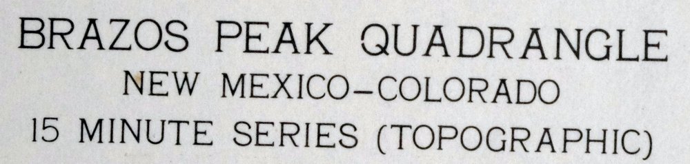 | |
|---|---|
| TITLE | Brazos Peak |
| STATE | New Mexico, Colorado |
| LOCATION | 85 miles north of Santa Fe, NM |
| SERIES | 15-minute |
| SURVEYED | 1952 and 1955 Aerial and Field Survey |
| EDITION | 1955 |
| PRINTED | 1971 |
| PRINT NOTES | Thick paper stock, includes woodland tint (green to indicate vegetated areas) |
| SCALE | 1:62500 |
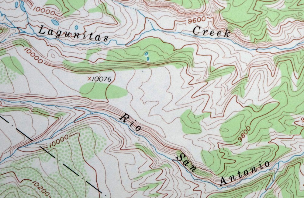
| CONTOUR INTERVAL | 40 feet |
| SHEET DIMENSIONS | 16 7/8 x 21 inches |
| MAP DIMENSIONS | 14 x 17 1/2 inches |
| COVERAGE AREA | 14 x 17 miles |
| SHEET CONDITION For maps of this vintage, effort is made to note all visible flaws, no matter how minor. | |
| OVERALL CONDITION | Very Good |
| SHEET NOTES | lightly handled, never folded |
| MAP AREA | no markings, no blemishes |
| COLLARS | no wear or tears, no markings, no blemishes |
| MAP COVERAGE Quadrangle extent overlaid on current basemap. | |
| PLACENAMES Depending on map series and survey date, all of the features listed below may not be shown on this map. This list contains features that currently exist or historically existed within the area covered by the map. The list can be used as a reference to determine if this map covers your area of interest. Placenames are listed alphabetically next to each feature type. | |
| COUNTIES COVERED | Archuleta, Conejos, and Rio Arriba |
| FEDERAL LAND UNITS | Carson National Forest, Cruces Basin Wilderness, Jicarilla Apache Indian Reservation, and Rio Grande National Forest |
| RIVERS AND STREAMS | Apache Creek, Arkansas Creek, Beaver Creek, Canada Jarosita, Canada Tio Grande, Canones Creek, Chavez Creek, Cruces Creek, Diablo Creek, East Fork Rio Brazos, Lagunitas Creek, Little Willow Creek, Rio Brazos, Rio Nutritas, Rio San Antonio, Rio Tusas, Toltec Creek, West Fork Rio Brazos, and Wolf Creek |
| WATER BODIES | Hidden Lake |
| New Mexico Populated Place: Toltec. Locations: Brazos Ridge Overlook, Apache Forest Service Facility, Bagwell Cow Camp, Brazos Cow Camp, Burn Cow Camp, Dry Lake, Huffaker Cabin, Jensen-Thomas Cow Camp, Lagunitas Guard Station, Lower Lagunitas Campground, Murphy Cow Camp, Nelaganey Ranch, Poso Cow Camp, Rivera Cow Camp, Stewart Cow Camp, Thomas Martinez O'Reilly Cow Camp, Upper Lagunitas Campground, and Upper Logunitas Campground. Areas: Bad Lands. Reserves: Cruces Basin Wilderness. Mountains, Peaks, and Summits: Toltec Mesa, Osier Mesa, Brazos Peak, Grouse Mesa, Olguin Mesa, and Sugar Loaf Mountain. Valleys and Canyons: Cañon Puela, Road Canyon, Telephone Canyon, Toltec Canyon, Cañon Manga, Chavez Box, Osha Canyon, and Toltec Gorge. Parks: Poso Park. Drainages: Toltec Creek, Lobo Creek, Osha Creek, Beaver Creek, Cruces Creek, Diablo Creek, East Fork Rio Brazos, Escondido Creek, Gavilan Creek, Little Poso Creek, Osier Fork Rio Brazos, Poso Creek, West Fork Chavez Creek, and West Fork Rio Brazos. Lakes and Ponds: Dean Lake, Mesa Lake, and Hidden Lake. Ridges: Brazos Ridge. Reservoirs and Tanks: Danny Tank, Discovery Tank, Murphy Tank, Spring Tank, Spring Tank Number Two, Amado Tank, Beaver Tank, Corral Tank, Dry Lake, East Tank, El Camino Tank, Grouse Tank, Indian Tank, Jawbone Tank, Lagunitas Tank, Lobato Tank, Lobo Tank, North Alire Tank, North Largo Tank, Sabino Tank, Sheep Tank, and South Alire Tank. Flats: Brazos Meadows. Springs: El Camino Spring. | |
| Colorado Locations: Cresco. | |
| SHIPPING AND RETURNS | |
 This map sheet will be carefully rolled in a sturdy tube and shipped via the US Postal Service. If you find that the sheet you receive is not as described in the listing, you may ship it back to us for a refund of the purchase price. | |
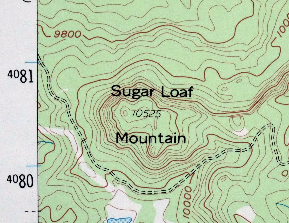
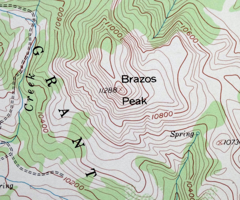
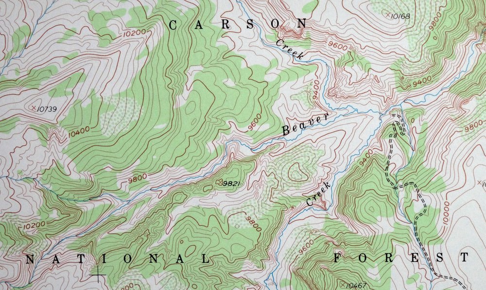
Brazos Peak New Mexico USGS 15-Min Topo Map 1971 Vintage
$39
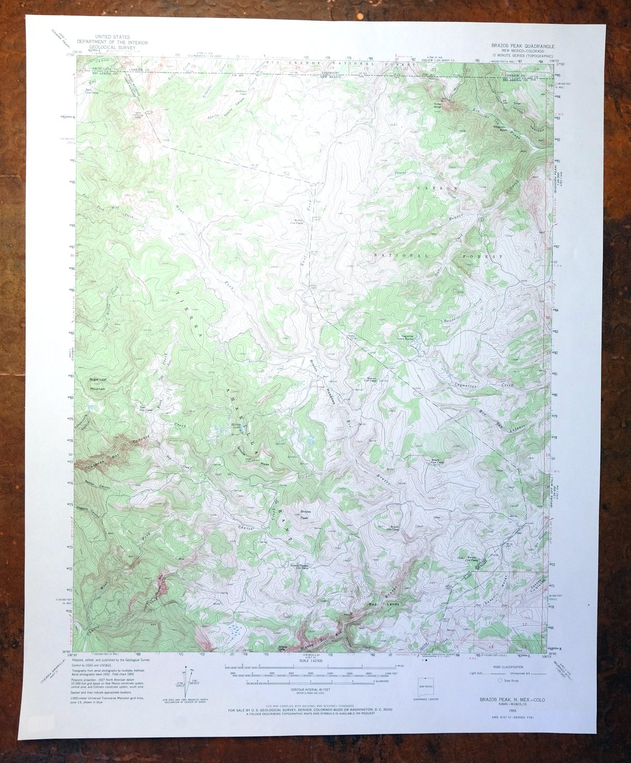
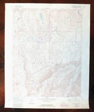
This USGS 15-minute topographic map is a 1955 edition printed in 1971, in very good condition, lightly handled and never folded on thick stock. Drawn from 1952 and 1955 aerial and field surveys, it takes in high country along the New Mexico–Colorado line about 85 miles north of Santa Fe, crossing Rio Arriba, Conejos, and Archuleta counties and reaching into portions of the Rio Grande and Carson National Forests, the Cruces Basin Wilderness, and the Jicarilla Apache Indian Reservation. With Brazos Peak giving the quad its name, the sheet shows a remote stretch of the southern San Juan uplands where 40-foot contours trace the ridges and basins of country that has stayed largely undeveloped.
In stock
This vintage sheet is a 1955 edition of the Brazos Peak New Mexico USGS topographic map. It is an original 55-year-old 1971 United States Geological Survey print in very good condition.
HOW THIS MAP CAN BE USED
In addition to making a fascinating conversation piece, this sheet would look great in a frame or on display, make a unique and prized gift for anyone interested in this area, be perfect as a reference for genealogy studies or general historical research, or fill that missing piece in your collection. Maps of this vintage are printed on durable stock and are well-suited for outdoor activities and recreation of all kinds, including hiking, backpacking, hunting, rafting and kayaking, backcountry skiing, geocaching, general exploration, treasure hunting, etc.
FEATURES SHOWN ON THE MAP
The Brazos Peak 15-minute map shows cities and towns, roads, railroads, utilities and energy infrastructure, rivers, creeks, elevation contour lines, public land survey lines, county, state, and other administrative boundaries as they existed at the time of the survey in 1952 and 1955. All known structures (houses, businesses, churches, schools, barns, cabins, etc) are also shown.
A VALUABLE HISTORICAL RECORD
Maps from the 15-minute series for the continental United States are no longer produced or printed by the USGS and original prints are becoming increasingly difficult to find. They are a valuable historical record for an area, as they contain many placenames and features that have been dropped from more recent maps.
Nearby maps
-
Chama New Mexico Brazos Tierra Amarilla USGS Topo Map 1973
$39 Add to cart -
Durango East Colorado USGS 7.5-Min Topo Map 1965 Vintage
$30 Add to cart -
Electric Peak Colorado Sangre de Cristo USGS Topo Map 1974
$33 Add to cart -
Brilliant New Mexico USGS 15-Min Topo Map 1915 Antique
$47 Add to cart -
Silverton Colorado Camp Bird USGS Topo Map 1962 Vintage
$34 Add to cart -
Koehler New Mexico Maxwell NWR Maxwell USGS Topo Map 1937
$51 Add to cart -
La Plata Hesperus Colorado USGS 15-Min Topo Map 1956 Vintage
$75 Add to cart -
La Plata Colorado Mayday Hesperus USGS Topo Map 1897 Antique
$95 Add to cart -
Iola Colorado USGS 7.5-Min Topographic Map 1963 Vintage
$31 Add to cart -
Poncha Springs Colorado Salida Nathrop USGS Topo Map 1970
$41 Add to cart -

Stanley New Mexico USGS 15-Min Topographic Map 1963 Vintage
$14 Add to cart -
Pueblo Colorado San Isabel NF Penrose USGS Topo Map 1923
$52 Add to cart -
Apishapa Colorado Thatcher Delhi USGS Topo Map 1897 Antique
$52 Add to cart -
Yellow Jacket Colorado Lewis USGS Topo Map 1968 Vintage
$32 Add to cart -

Ship Rock New Mexico Navajo Mitten Rock USGS Topo Map 1968
$33 Add to cart -

Lobo Hill New Mexico Estancia USGS Topo Map 1963 Vintage
$14 Add to cart -
Anthracite Colorado USGS 15-Min Topographic Map 1918 Antique
$38 Add to cart -

Mesa De Maya Colorado Branson Villegreen USGS Topo Map 1901
$44 Add to cart -

Nepesta Colorado Pueblo Fowler USGS Topo Map 1904 Antique
$45 Add to cart -
Cajon Mesa Utah Montezuma Creek USGS Topo Map 1965 Vintage
$34 Add to cart -
Mountainair New Mexico Estancia Willard USGS Topo Map 1958
$32 Add to cart -

Mount Massive Colorado Vintage USGS Topographic Map 1975
$36 Add to cart -
Aspen Colorado USGS 7.5-Min Topographic Map 1964 Vintage
$48 Add to cart -
Highland Peak Colorado Snowmass Village USGS Topo Map 1988
$43 Add to cart