MAP DETAILS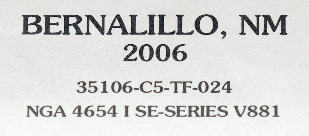 | |
|---|---|
| TITLE | Bernalillo |
| STATE | New Mexico |
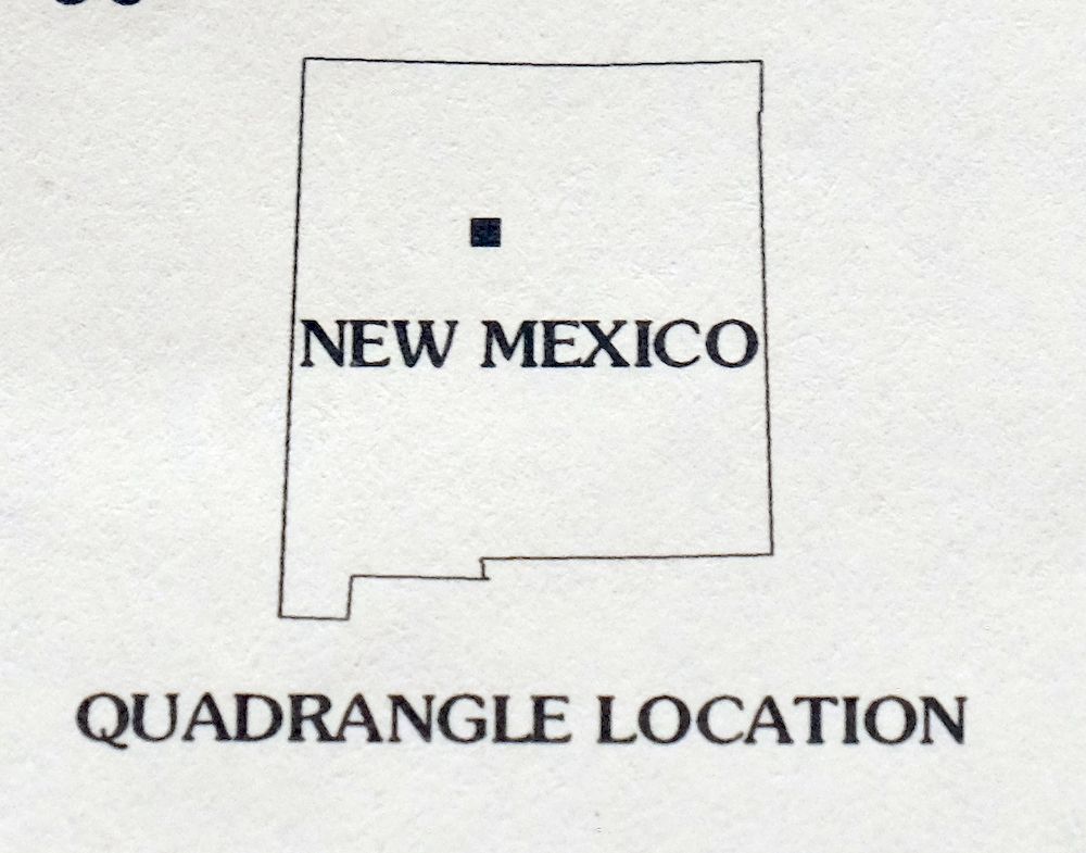
| LOCATION | Vicinity of Rio Rancho, 16 miles north of Albuquerque |
| SERIES | 7.5-minute |
| EDITION | 2006 |
| PRINTED | 2007 |
| PRINT NOTES | Thick paper stock, includes woodland tint (green to indicate vegetated areas). A reddish tint is used to indicate urban areas where only landmark buildings are shown. |
| SCALE | 1:24000 |
| SHEET DIMENSIONS | 22 x 27 inches (approximate) |
| MAP DIMENSIONS | 18 5/8 x 22 3/4 inches |
| COVERAGE AREA | 7 x 9 miles |
| SHEET CONDITION For maps of this vintage, effort is made to note all visible flaws, no matter how minor. | |
| OVERALL CONDITION | Very Good |
| SHEET NOTES | lightly handled, never folded |
| MAP AREA | no wear, no markings, no blemishes |
| COLLARS | no wear or tears, no markings, no blemishes |
| MAP COVERAGE Quadrangle extent overlaid on current basemap. | |
| PLACENAMES Depending on map series and survey date, all of the features listed below may not be shown on this map. This list contains features that currently exist or historically existed within the area covered by the map. The list can be used as a reference to determine if this map covers your area of interest. Placenames are listed alphabetically next to each feature type. | |
| CITIES AND TOWNS (CURRENT) | Algodones, Bernalillo, Corrales, Placitas, Pueblo of Sandia Village, Rio Rancho, Sandia Pueblo, and Santa Ana Pueblo |
| COUNTIES COVERED | Sandoval |
| FEDERAL LAND UNITS | Cibola National Forest, San Felipe Indian Reservation, Sandia Indian Reservation, and Santa Ana Indian Reservation |
| RIVERS AND STREAMS | Arroyo Baranca, Arroyo de las Lomitas Negras, Arroyo Venada, Jemez River, Rio Grande, and Sandia Wash |
| Locations: Abenicio Salazar Historic District, Bernalillo Weather Station, Coronado State Monument Kuaua Ruins, Kuaua, Pueblo Santiago, and Spanish Estrada Site. Administrative Boundaries: El Ranchito Grant, Felipe Gutierres or Bernalillo Grant, and Sandia Pueblo Grant. Reserves: Sandia Indian Reservation. Mountains, Peaks, and Summits: Canjilon Hill. Valleys and Canyons: Canon del Agua. Parks: Bernalillo on the Camino Real Historical Marker and Coronado State Monument Historical Marker. Drainages: Arroyo Agua Sarca, Arroyo Baranca, Jemez River, Arroyo de las Lomitas Negras, Arroyo de los Montoyas, Sandia Wash, and Arroyo Venada. Mines: Coronado Pit and North Pit. Churches: Barrios for Jesus Church, Bernalillo Independent Baptist Church, Bernalillo United Methodist Church, First Assembly of God Church, North Valley Assembly of God Church, Our Lady of Sorrows Catholic Church, and Our Lady of Sorrows Convent Historic Site. Buildings: Martha Liebert Library, Montoya-Gallegos House, and Sandia Pueblo Resource Center Library. Dams: Rio Rancho Estates Detention Basin Number Four Dam, Rio Rancho Estates Detention Basin Number One Dam, Sandia Mountain Tributaries Site Dam, and Santa Ana Detention Dam. Canals: Albuquerque Main Canal, Albuquerque Main Canal Wasteway, Algodones Ditch, Bernalillo Acequia, Bernalillo Interior Drain, Bernalillo Riverside Drain, Bosque Lateral Number One, Bosque Lateral Number Two, Ranchitos Drain, and Sandia Acequia. Schools: All Tribes Indian Mission School, Our Lady of Sorrows School, Pilgrim Indian Mission School, San Felipe Pueblo Elementary, and Santa Ana School. Towers: KKTT-AM (Bernalillo). Wells: All Tribes Water Well, 10001 Water Well, 10002 Water Well, 10003 Water Well, 10006 Water Well, 10007 Water Well, 10019 Water Well, Number 1 Water Well, Number 2 Water Well, Pierce Water Well, Prices Water Well, RG-34422 Water Well, San Miguel Water Well, Town Water Well1, and Town Water Well2. Pillars: Bernalillo Plug. | |
| SHIPPING AND RETURNS | |
 This map sheet will be carefully rolled in a sturdy tube and shipped via the US Postal Service. If you find that the sheet you receive is not as described in the listing, you may ship it back to us for a refund of the purchase price. | |
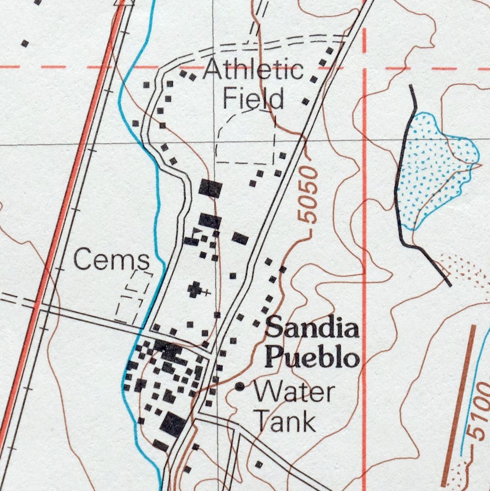
2007 USGS Topo Map: Bernalillo, Cibola NF, New Mexico
$19
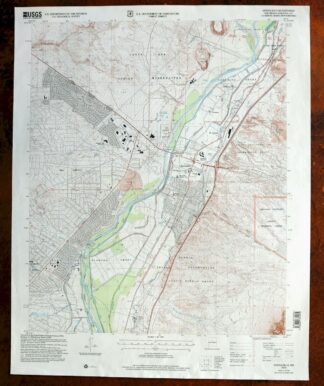
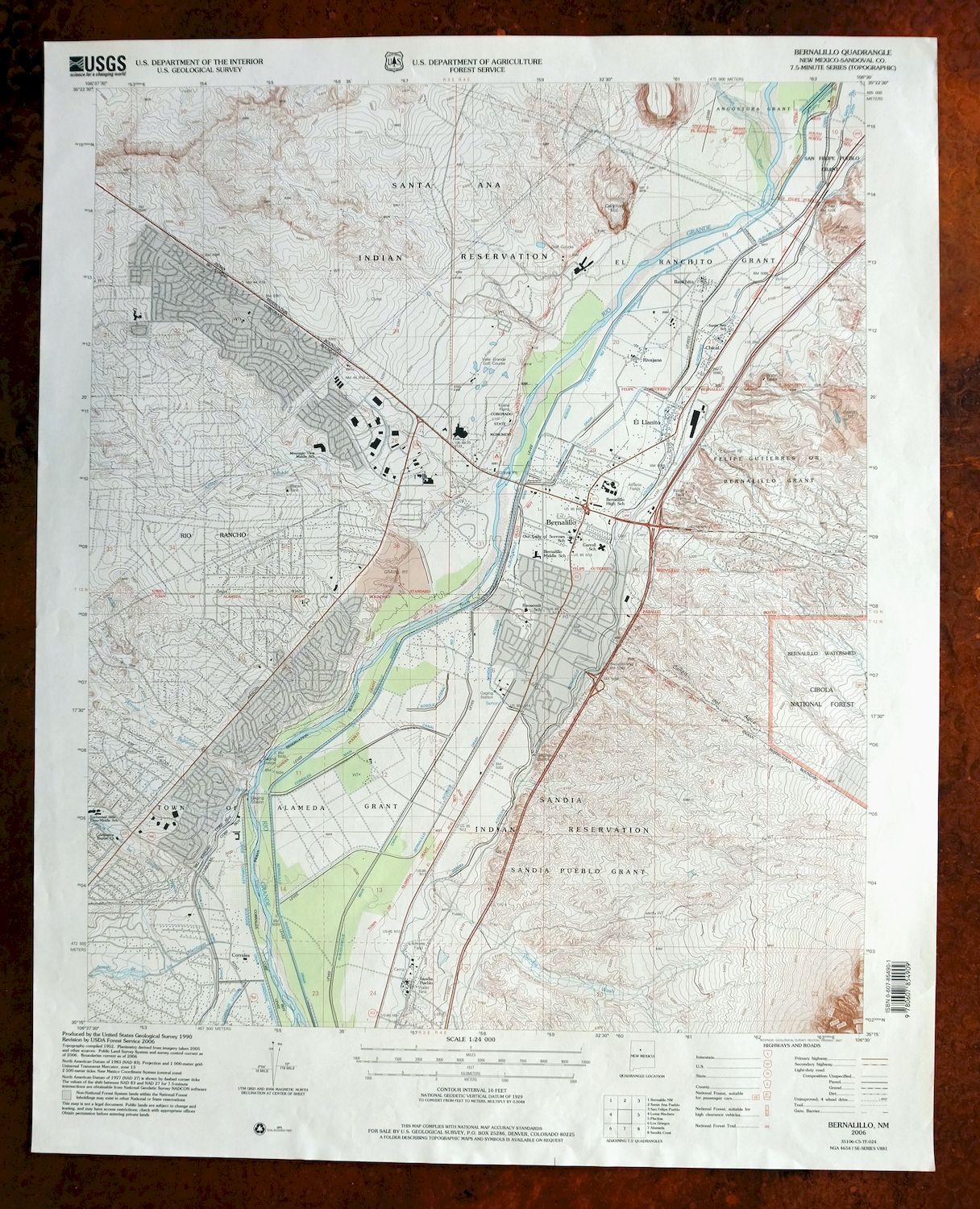
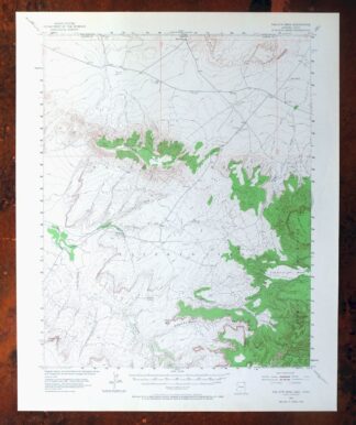
This is a USGS topographic map of Bernalillo, New Mexico, a 2006 edition printed in 2007 at 1:24,000 scale. The quad sits along the Rio Grande about 16 miles north of Albuquerque, covering roughly 7 by 9 miles. The area includes the town of Bernalillo, Corrales, Placitas, part of Rio Rancho, and the pueblos of Santa Ana, Sandia, and San Felipe, along with a portion of the Cibola National Forest. This is detailed country where the river valley meets the Sandia Mountains, printed on thick stock with green woodland tint. Never folded and in very good condition, it frames well.
In stock
This contemporary sheet is a 2006 edition of the Bernalillo New Mexico USGS topographic map. It is an original 19-year-old 2007 United States Geological Survey print in very good condition.
HOW THIS MAP CAN BE USED
In addition to making a fascinating conversation piece, this sheet would look great in a frame or on display, make a unique and prized gift for anyone interested in this area, be perfect as a reference for genealogy studies or general historical research, or fill that missing piece in your collection. Maps of this vintage are printed on durable stock and are well-suited for outdoor activities and recreation of all kinds, including hiking, backpacking, hunting, rafting and kayaking, backcountry skiing, geocaching, general exploration, treasure hunting, etc.
FEATURES SHOWN ON THE MAP
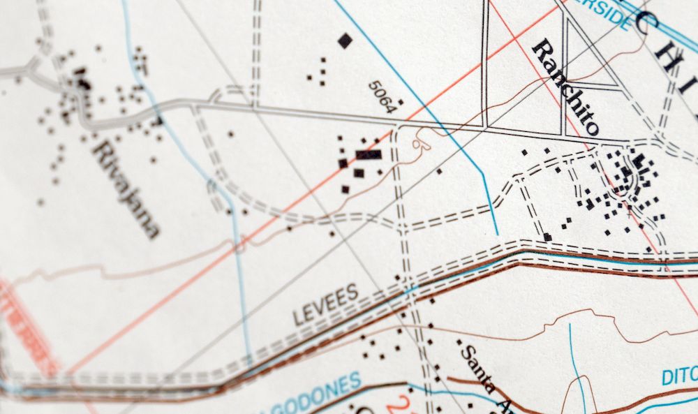
The Bernalillo 7.5-minute map shows cities and towns, roads, paths, railroads, utilities and energy infrastructure, rivers, creeks, elevation contour lines, public land survey lines, county, state, and other administrative boundaries as they existed at the time of the survey. A reddish tint is used on this sheet to indicate urban areas where only landmark buildings are depicted. Outside of those areas, all known structures (houses, businesses, churches, schools, barns, cabins, etc) are shown.
A VALUABLE HISTORICAL RECORD
This map is from the 7.5-minute series, the most detailed series that is widely available from the USGS. The 2006 Bernalillo map is a valuable historical record for the area. It contains some placenames and features that have been dropped from more recent maps.
Nearby maps
-
1975 USGS Topo Map: Bernalillo, Cibola NF, New Mexico
$23 Add to cart -

Stanley New Mexico USGS 15-Min Topographic Map 1963 Vintage
$14 Add to cart -

Lobo Hill New Mexico Estancia USGS Topo Map 1963 Vintage
$14 Add to cart -
Mountainair New Mexico Estancia Willard USGS Topo Map 1958
$32 Add to cart -
Chama New Mexico Brazos Tierra Amarilla USGS Topo Map 1973
$39 Add to cart -
Brazos Peak New Mexico USGS 15-Min Topo Map 1971 Vintage
$39 Add to cart -
Carrizozo New Mexico Lincoln NF USGS Topo Map 1954 Vintage
$48 Add to cart -
1962 USGS Topo Map: Aztec, Cedar Hill, New Mexico
$40 Add to cart -
Koehler New Mexico Maxwell NWR Maxwell USGS Topo Map 1937
$46 Add to cart -
Buell Park Arizona Fort Defiance Navajo USGS Topo Map 1967
$46 Add to cart -
1948 Red Mesa Colorado/New Mexico USGS Topo Map
$44 Add to cart -
Brilliant New Mexico USGS 15-Min Topo Map 1915 Antique
$47 Add to cart -
Durango East Colorado USGS 7.5-Min Topo Map 1965 Vintage
$30 Add to cart -

Ship Rock New Mexico Navajo Mitten Rock USGS Topo Map 1968
$33 Add to cart -

Horseshoe Bend New Mexico USGS 15-Min Topo Map 1964 Vintage
$22 Add to cart -
La Plata Hesperus Colorado USGS 15-Min Topo Map 1956 Vintage
$46 Add to cart -
1930 San Cristobal Colorado USGS Topo Map: Santa Maria Lake
$33 Add to cart -
Hunt Arizona USGS 15-Min Topographic Map 1974 Vintage
$30 Add to cart -
Blue Arizona Apache NF USGS 15-Min Topo Map 1963 Vintage
$48 Add to cart -
Silverton Colorado Camp Bird USGS Topo Map 1962 Vintage
$34 Add to cart -
Mogollon New Mexico Pleasanton Mule Creek USGS Topo Map 1964
$49 Add to cart -

Petrified Forest Arizona USGS 15-Min Topo Map 1956 Vintage
$56 Add to cart -
Petrified Forest Arizona USGS Topographic Map 1912 Antique
$46 Add to cart -
Toh Atin Mesa Arizona Red Mesa USGS Topo Map 1967 Vintage
$40 Add to cart