MAP DETAILS | |
|---|---|
| TITLE | Red Mesa |
| STATE | Colorado, New Mexico |
| LOCATION | 30 miles north of Farmington, NM |
| SERIES | 15-minute |
| SURVEYED | 1911 Field Survey |
| GEOGRAPHER | R.B. Marshall |
| ENGRAVED | 1913 |
| EDITION | 1913 |
| PRINTED | 1948 |
| SCALE | 1:62500 |
| CONTOUR INTERVAL | 50 feet |
| SHEET DIMENSIONS | 16 1/2 x 20 inches (approximate) |
| MAP DIMENSIONS | 14 x 17 1/2 inches |
| COVERAGE AREA | 14 x 17 miles |
| SHEET CONDITION For maps of this vintage, effort is made to note all visible flaws, no matter how minor. | |
| OVERALL CONDITION | Excellent |
| SHEET NOTES | lightly handled, never folded, smooth and flat |
| MAP AREA | flawless map area |
| COLLARS | no wear or tears, no markings, no blemishes, light inventory stamp on lower collar |
| MAP COVERAGE Quadrangle extent overlaid on current basemap. | |
| BACKSIDE LEGEND | |
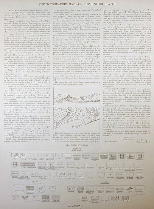 A map summary is printed on the back side of the Red Mesa sheet similar to the one shown in the picture. It outlines the history, purpose, and status of the USGS mapping program at the time of the printing in 1948. It also provides instructions on how to read contour lines and a description of how they are used to depict the terrain. At the bottom of the page is a legend showing all of the symbols used to represent the cultural, relief, and water features found on the map. | |
| PLACENAMES Depending on map series and survey date, all of the features listed below may not be shown on this map. This list contains features that currently exist or historically existed within the area covered by the map. The list can be used as a reference to determine if this map covers your area of interest. Placenames are listed alphabetically next to each feature type. | |
| CITIES AND TOWNS (CURRENT) | Kline, Marvel, and Redmesa |
| COUNTIES COVERED | La Plata, Montezuma, and San Juan |
| FEDERAL LAND UNITS | Southern Ute Indian Reservation |
| RIVERS AND STREAMS | Cherry Creek, Dawson Arroyo, Johnny Pond Arroyo, La Plata River, McDermott Arroyo, San Juan Arroyo, and Wheeler Arroyo |
| Colorado Locations: Colorado State University San Juan Basin Branch Agricultural Experimental Station. Mountains, Peaks, and Summits: Cinder Butte, North Cinder Butte, Pinkerton Mesa, Red Mesa, and South Cinder Butte. Valleys and Canyons: Alkali Gulch, Bear Canyon, Barnes Canyon, Bragg Draw, Butch Henry Draw, First Canyon, Flat Canyon, Cannibal Canyon, Church Hollow, Clyde Walker Canyon, Coyote Gulch, Deer Canyon, East Alkali Gulch, Fortyfour Canyon, Government Draw, Hay Gulch, Horn Canyon, Iron Springs Gulch, Johnson Canyon, Long Glade, Long Hollow, Maverick Gulch, Mooney Draw, Morgan Canyon, Pietetlot Gulch, Pine Gulch, Post Canyon, Price Walters Canyon, Rattlesnake Gulch, Red Horse Gulch, Reservoir Canyon, Roberts Gulch, Schoolhouse Canyon, Silva Draw, Soda Springs Canyon, Soldiers Draw, Spring Gulch, Spring Hollow, Stag Canyon, Third Canyon, Thomas Canyon, Underwood Draw, Valencia Canyon, West Alkali Gulch, Wheeler Draw, and Wildwater Canyon. Drainages: Beaver Creek, Cherry Creek, Johnny Pond Arroyo, San Juan Arroyo, and Wheeler Arroyo. Mines: Farmers Mine, Cinder Butte Mine, Dunn Mine, Fort Lewis Mine, Henderson Mine, Mormon Mine, Pruitt Mine, Tepoch Mine, and Wheeler Mine. Dams: Red Mesa Ward Dam. Bluffs: Cinder Bluffs. Canals: Big Stick Ditch, Enterprise Ditch, and Hay Gulch Irrigation Ditch. Schools: Fort Lewis Mesa School and Rockvale School. Ridges: Rocky Ridge. Reservoirs and Tanks: Mormon Reservoir and Red Mesa Ward Reservoir. Flats: Cow Flat and Orrie Walker Flat. Towers: KLLV-AM (Breen). Wells: Houston Well. Springs: Soda Springs. | |
| New Mexico | |
| New Mexico None | |
| SHIPPING AND RETURNS | |
 This map sheet will be carefully rolled in a sturdy tube and shipped via the US Postal Service. If you find that the sheet you receive is not as described in the listing, you may ship it back to us for a refund of the purchase price. | |
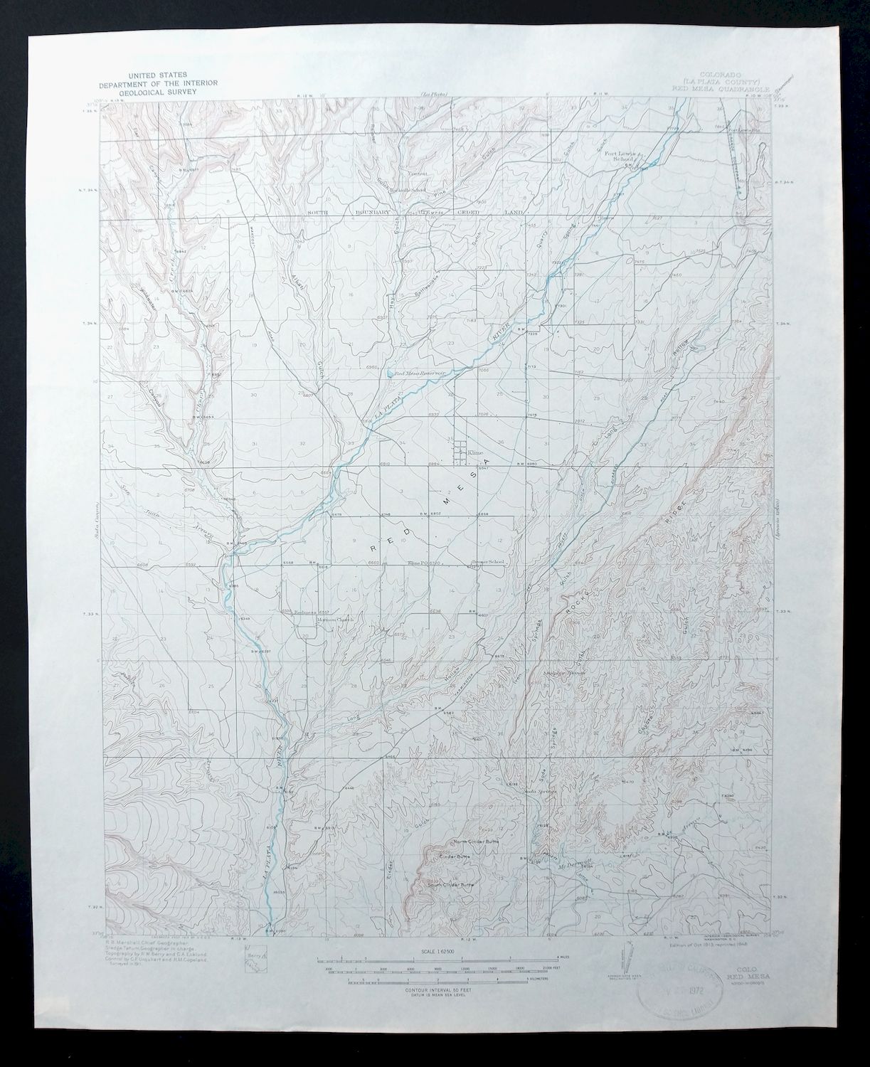
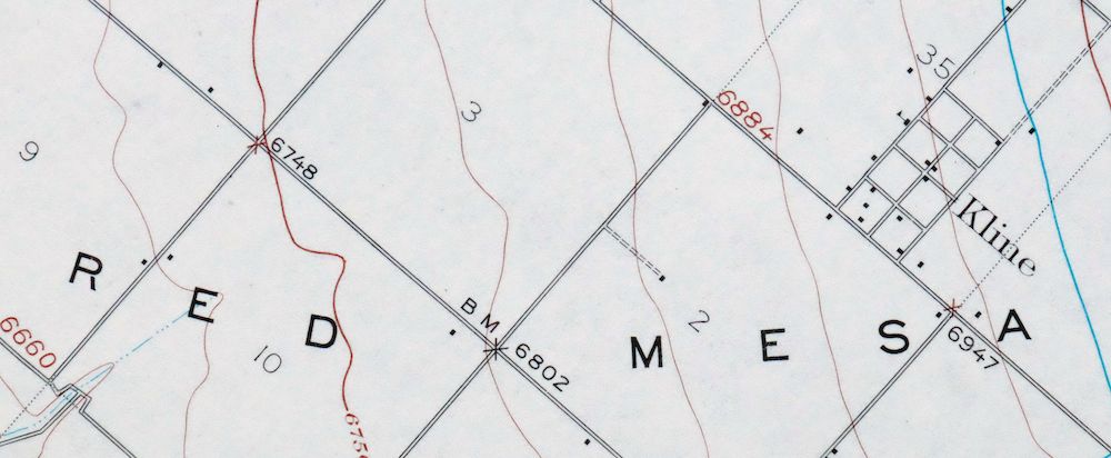
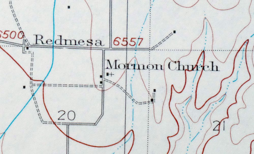
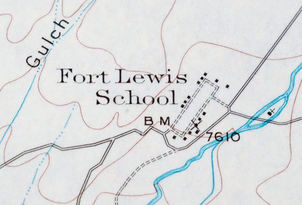
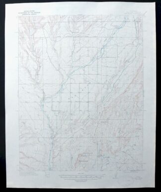
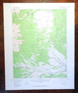
1948 Red Mesa Colorado/New Mexico USGS Topo Map
$50
This is a 1913 edition USGS topographic map of Red Mesa, Colorado, printed in 1948 at a scale of 1:62,500. The quad straddles the Colorado-New Mexico line about 30 miles north of Farmington, taking in the small La Plata County communities of Red Mesa, Marvel, and Kline, with part of the Southern Ute Indian Reservation to the east. The underlying landscape comes from a 1911 field survey directed by geographer R.B. Marshall. Never folded, it is smooth and flat and well suited to framing.
In stock
This vintage sheet is a 1913 edition of the Red Mesa Colorado USGS topographic map. It is an original 78-year-old 1948 United States Geological Survey print in excellent condition.
HOW THIS MAP CAN BE USED
In addition to making a fascinating conversation piece, this sheet would look great in a frame or on display, make a unique and prized gift for anyone interested in this area, be perfect as a reference for genealogy studies or general historical research, or fill that missing piece in your collection.
FEATURES SHOWN ON THE MAP
The Red Mesa 15-minute map shows cities and towns, roads, railroads, rivers, creeks, elevation contour lines, public land survey lines, county, state, and other administrative boundaries as they existed at the time of the survey in 1911. All known structures (houses, businesses, churches, schools, barns, cabins, etc) are also shown, with exceptions in some urban areas, where only landmark buildings may be shown.
A VALUABLE HISTORICAL RECORD
Maps from the 15-minute series for the continental United States are no longer produced or printed by the USGS and original prints are becoming increasingly difficult to find. They are a valuable historical record for an area, as they contain many placenames and features that have been dropped from more recent maps.
Nearby maps
-
La Plata Hesperus Colorado USGS 15-Min Topo Map 1956 Vintage
$60 Add to cart -
La Plata Colorado Mayday Hesperus USGS Topo Map 1897 Antique
$95 Add to cart -

Ship Rock New Mexico Navajo Mitten Rock USGS Topo Map 1968
$33 Add to cart -
Cajon Mesa Utah Montezuma Creek USGS Topo Map 1965 Vintage
$34 Add to cart -
Silverton Colorado Camp Bird USGS Topo Map 1962 Vintage
$34 Add to cart -
Durango East Colorado USGS 7.5-Min Topo Map 1965 Vintage
$30 Add to cart -
Yellow Jacket Colorado Lewis USGS Topo Map 1968 Vintage
$32 Add to cart -
Toh Atin Mesa Arizona Red Mesa USGS Topo Map 1967 Vintage
$40 Add to cart -
Blanding Utah Montezuma Canyon White Mesa USGS Topo Map 1964
$33 Add to cart -
Chama New Mexico Brazos Tierra Amarilla USGS Topo Map 1973
$39 Add to cart -

Hatch Rock La Sal Utah Vintage Original USGS Topo Map 1965
$20 Add to cart -
Brazos Peak New Mexico USGS 15-Min Topo Map 1971 Vintage
$39 Add to cart -
Buell Park Arizona Fort Defiance Navajo USGS Topo Map 1967
$46 Add to cart -
Bears Ears Utah USGS 15 Minute Topographic Map 1974 Vintage
$46 Add to cart -
Iola Colorado USGS 7.5-Min Topographic Map 1963 Vintage
$31 Add to cart -
Agathla Peak Arizona USGS 15-Min Topo Map 1959 Vintage
$47 Add to cart -
Anthracite Colorado USGS 15-Min Topographic Map 1918 Antique
$38 Add to cart -
Grand Junction Colorado Redlands USGS Topo Map 1964 Vintage
$58 Add to cart -
Marsh Pass Arizona Kayenta Pinon USGS Topo Map 1922 Antique
$74 Add to cart -
The Spur Utah Canyonlands USGS 15-Min Topo Map 1971 Vintage
$38 Add to cart -
Garfield Colorado USGS 15 Minute Topo Map 1945 Vintage
$39 Add to cart -
1974 USGS Topo Map: Garfield, Monarch Pass, Colorado
$50 Add to cart -
Fiddler Butte Utah USGS 15-Min Topographic Map 1958 Vintage
$38 Add to cart -
Poncha Springs Colorado Salida Nathrop USGS Topo Map 1970
$41 Add to cart