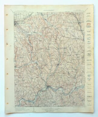
MAP DETAILS | |
|---|---|
| TITLE | Catatonk |
| STATE | New York |
| LOCATION | Vicinity of Ithaca, 20 miles northwest of Binghamton |
| SERIES | 30-minute |
| SURVEYED | 1898 through 1901 Field Survey |
| GEOGRAPHER | H.M. Wilson |
| EDITION | 1906 |
| PRINTED | 1908 |
| PRINT NOTES | Thick paper stock |
| SCALE | 1:125000 |
| CONTOUR INTERVAL | 40 feet |
| SHEET DIMENSIONS | 16 1/2 x 20 inches |
| MAP DIMENSIONS | 13 x 17 1/2 inches |
| COVERAGE AREA | 26 x 35 miles |
| SOURCE | From an uncommonly well-preserved collection |
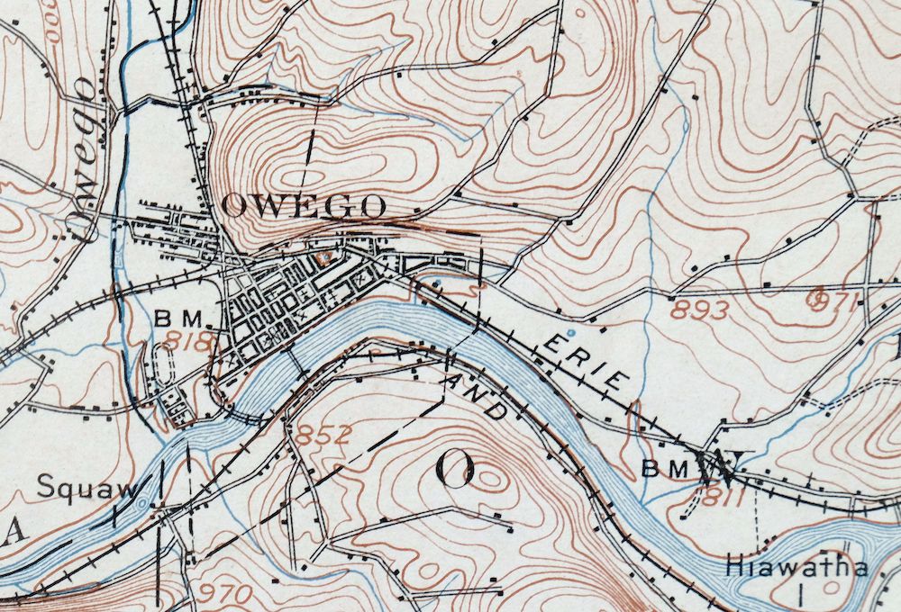
| MAP NOTES | Surveyed before the modern highway and interstate system, showing historic travel routes, rail lines, and placenames. |
| SHEET CONDITION For maps of this vintage, effort is made to note all visible flaws, no matter how minor. | |
| OVERALL CONDITION | Very Good |
| SHEET NOTES | very lightly handled, never folded, smooth and flat |
| MAP AREA | flawless map area |
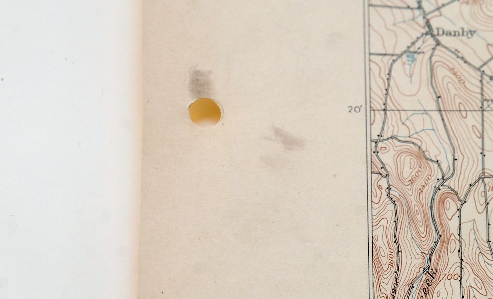
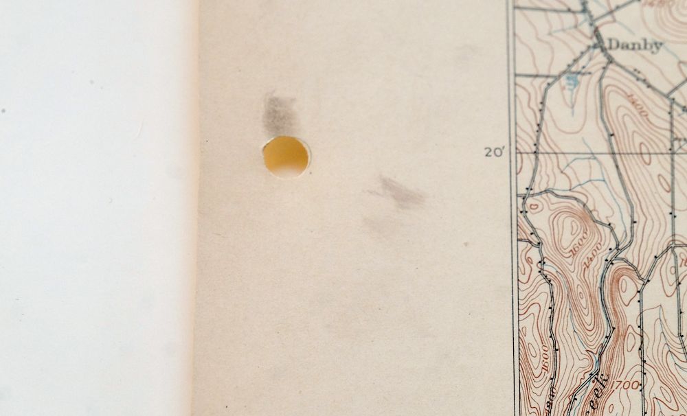
| COLLARS | no wear or tears, no markings, scattered light blemishes in collar, hole punches along left collar |
  | |
| MAP COVERAGE Quadrangle extent overlaid on current basemap. | |
| PLACENAMES Depending on map series and survey date, all of the features listed below may not be shown on this map. This list contains features that currently exist or historically existed within the area covered by the map. The list can be used as a reference to determine if this map covers your area of interest. Placenames are listed alphabetically next to each feature type. | |
| CITIES AND TOWNS (CURRENT) | Apalachin, Berkshire, Candor, Cayuga Heights, Dryden, East Ithaca, Endicott, Endwell, Forest Home, Ithaca, Lansing, Lisle, Marathon, Newark Valley, Nichols, Northeast Ithaca, Owego, Slaterville Springs, South Hill, Spencer, Vestal, and Vestal Center |
| COUNTIES COVERED | Broome, Cortland, Tioga, and Tompkins |
| RIVERS AND STREAMS | Apalachin Creek, Babcock Run, Barnes Creek, Bliven Creek, Boyer Creek, Bradley Creek, Brixius Creek, Butson Creek, Buttermilk Creek, Cascadilla Creek, Catatonk Creek, Chambers Creek, Choconut Creek, Cole Brook, Cork Hill Creek, Crocker Creek, Culver Creek, Danby Creek, Dead Creek, Dean Creek, Dry Brook, Dudley Creek, East Branch Nanticoke Creek, East Branch Owego Creek, Ellis Brook, Ellis Creek, Evelin Hill Creek, Fall Creek, Flag Marsh Run, Gridley Creek, Hoyt Creek, Hubbard Hill Brook, Hubby Creek, Hunts Creek, Jennings Creek, Ketchumville Branch, Little Nanticoke Creek, Little Wapessening Creek, Miami Creek, Michigan Creek, Miller Creek, Nanticoke Creek, Owego Creek, Owl Creek, Parks Creek, Patterson Creek, Pipe Creek, Pleasant Grove Brook, Pumpelly Creek, Reed Brook, Renwick Brook, Russell Run, Sackett Creek, Seelytown Creek, Smith Creek, South Branch Catatonk Creek, Sugar Creek, Sulphur Springs Creek, Susquehanna River, Tioughnioga River, Tracy Creek, Virgil Creek, Wappasening Creek, West Branch Owego Creek, Willow Creek, Willow Run, Willseyville Creek, and Wilson Creek |
| WATER BODIES | Alexander Lake, Beaver Pond, Beebe Lake, Bosket Lake, Dean Pond, Lake Diana, Dryden Lake, Empire Lake, Hill Top Lake, Ithaca Reservoir, Jennings Pond, Mutton Hill Pond, Rightmire Pond, Spencer Lake, Summit Pond, and Zorn Pond |
| Locations: Birthplace of John D Rockefeller, East Beecher Hill Community Club, Franks Corners, Guide Board Corners, Oakley Corners, Pine Valley Campsite, Tioga Country Club, and Waits. Administrative Boundaries: Town of Barton, Town of Berkshire, Town of Candor, Town of Caroline, Town of Danby, Town of Dryden, Town of Harford, Town of Lapeer, Town of Lisle, Town of Maine, Town of Marathon, Town of Nanticoke, Town of Newark Valley, Town of Nichols, Town of Owego, Town of Richford, Town of Spencer, Town of Tioga, Town of Union, and Town of Vestal. Mountains, Peaks, and Summits: Baker Hill, Bald Mountain, Beam Hill, Cafferty Hill, Bolles Hill, Bornt Hill, Candor Hill, Diamond Peak, Durfee Hill, East Beecher Hill, East Whitcomb Hill, Eastman Hill, Grippen Hill, Hammond Hill, Hardy Hill, Hubbard Hill, Hungerford Hill, King Hill, Lillie Hill, Nixon Hill, Oak Hill, Pierce Hill, Mount Pleasant, Pollard Hill, Poverty Knob, Prospect Hill, Ross Hill, Roundtop, Snyder Hill, Star Stanton Hill, Steventown Hill, Turkey Hill, Virgil Mountain, West Beecher Hill, West Hill, and Yellow Barn Hill. Valleys and Canyons: Allen Glen, Babcock Hollow, Bailey Hollow, Cornell Hollow, Diamond Valley, Frost Hollow, Gay Hollow, Negro Hollow, Prospect Valley, Quail Hollow, Rawson Hollow, Shindagin Hollow, Shipman Hollow, Thorn Hollow, and Tyler Hollow. Parks: Arnold Park, Buttermilk Falls State Park, En-Joie Park, Glendale Park, Kirby Park, Marvin Park, Round Hill Park, The Hickories Park, and Union Park. Drainages: Apalachin Creek, Barnes Creek, Butson Creek, Bliven Creek, Boyer Creek, Bradley Creek, Brixius Creek, Catatonk Creek, Chambers Creek, Choconut Creek, Cole Brook, Crocker Creek, Culver Creek, Danby Creek, Dead Creek, Dean Creek, Deerlick Creek, Doolittle Creek, Dry Brook, Dudley Creek, East Branch Nanticoke Creek, East Branch Owego Creek, Egypt Creek, Ellis Brook, Ellis Creek, Evelin Hill Creek, Flag Marsh Run, Gridley Creek, Hoyt Creek, Hubbard Hill Brook, Hubby Creek, Huntington Creek, Hunts Creek, Jennings Creek, Ketchumville Branch, Little Nanticoke Creek, Little Wapessening Creek, Miami Creek, Michigan Creek, Miller Creek, Nanticoke Creek, Owego Creek, Owl Creek, Parks Creek, Patterson Creek, Pipe Creek, Pleasant Grove Brook, Pumpelly Creek, Reed Brook, Sackett Creek, Seelytown Creek, Smith Creek, South Branch Catatonk Creek, Sugar Creek, Sulphur Springs Creek, Tracy Creek, Wappasening Creek, West Branch Owego Creek, Willow Creek, Willow Glen Creek, Willow Run, Willseyville Creek, and Wilson Creek. Islands: Hiawatha Island, Hoopers Valley Island, Squaw Island, and Tuffs Island. Churches: Asbury Church, Calvary Tabernacle, Berean Church, Community Church, Emory Chapel, Highland Chapel, Hocumville Church, Holy Counselor Church, Holy Rosary Church, Lapeer Church, Lounsberry Church, Memorial Park Church, Our Lady of Angels Church, Our Savior Church, Park Terrace Church, Saint Catherine of Siena Church, Saint Francis Church, Saint Johns Church, Saint Margaret Mary Church, Saint Marys Church, Saint Pauls Church, Saint Thomas Church, Straits Corners Church, Sulphur Springs Chapel, Tracy Creek Church, Wesley Church, West Creek Church, and Zion Church. Forests: Danby State Forest, Fairfield State Forest, Hammond Hill State Forest, Ketchumville State Forest, Oakley Corners State Forest, Potato Hill State Forest, Robinson Hollow State Forest, Shindagin Hollow State Forest, Tracy Creek State Forest, and Yellow Barn State Forest. Hospitals: Ideal Hospital. Lakes and Ponds: Beebe Lake, Bosket Lake, Dean Pond, Lake Diana, Dryden Lake, Empire Lake, Holden Pond, Jennings Pond, Mutton Hill Pond, Rightmire Pond, Summit Pond, and Zorn Pond. Waterfalls: Buttermilk Falls and Ithaca Falls. Dams: Van Nattas Dam. Bluffs: Devils Elbow and Point O'Rocks. Channels: The Narrows. Bridges: Turners Bridge. Airports: Arsenaults Field, IBM Owego Heliport, Keech Airport, Kohn Airport, Lapeer Flyer Airport, MDC Site 1 Heliport, Saikkonen Airport, Susquehanna Heliport, Tioga Airport, Tompkins County Airport, and Tri-Cities Airport. Schools: Belle Sherman School, Brink School, Broad Street School, Caroline School, Cayuga Heights School, Central High School, Central School, Charles F Johnson School, Cornell University, Danby School, East Hill School, Endwell Junior High School, Fall Creek School, George F Johnson School, George W Johnson School, Gladden School, Glenwood School, Hall School, Hooper School, Ingalls School, Ithaca College, Ithaca High School, Maine-Endwell High School, McGuinness School, Nichols School, Northeast School, Saint Anthonys School, Saint Josephs School, School Number 8, Snapp Junior High School, South Hill School, Tioga Hills School, Vestal Central Schools, and Watson School. Reservoirs and Tanks: Alexander Lake, Beaver Pond, Hill Top Lake, Ithaca Reservoir, and Owego Reservoir. Flats: Kenny Flats. Towers: Padlock Lookout Tower, WACA-TV (Ithaca), WCII-FM (Spencer), WEBO-AM (Owego), WENE-AM (Endicott), WHCU-AM (Ithaca), WICB-FM (Ithaca), WQXT-FM (Owego), WTKO-AM (Ithaca), WVBR-FM (Ithaca), WWER-FM (Dryden), and WYXL-FM (Ithaca). Springs: Sulphur Spring. | |
| SHIPPING AND RETURNS | |
 This map sheet will be carefully rolled in a sturdy tube and shipped via the US Postal Service. If you find that the sheet you receive is not as described in the listing, you may ship it back to us for a refund of the purchase price. | |


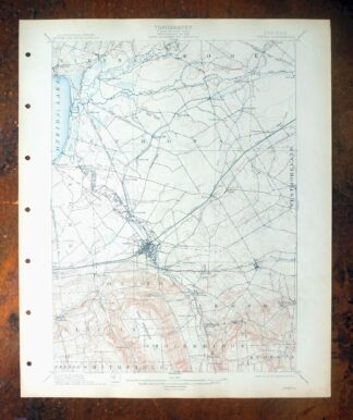
Catatonk New York Ithaca Endicott USGS Topo Map 1908 Antique
$65
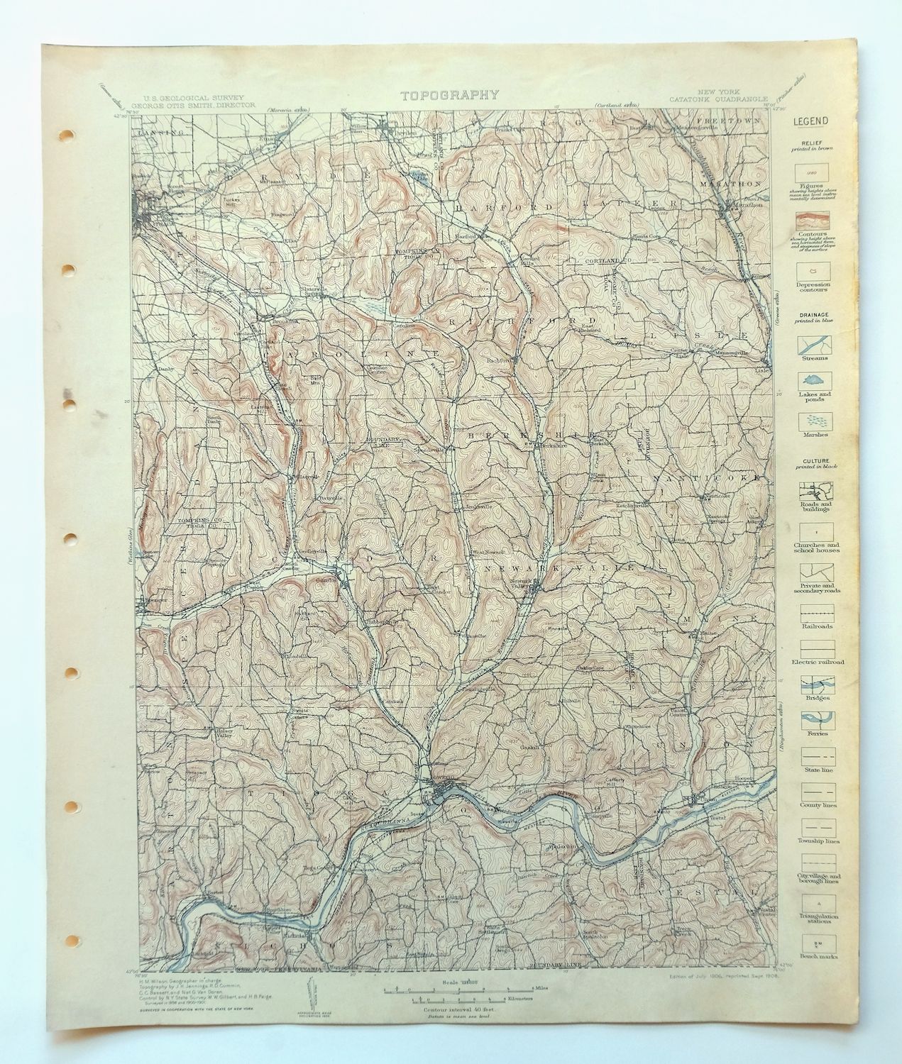
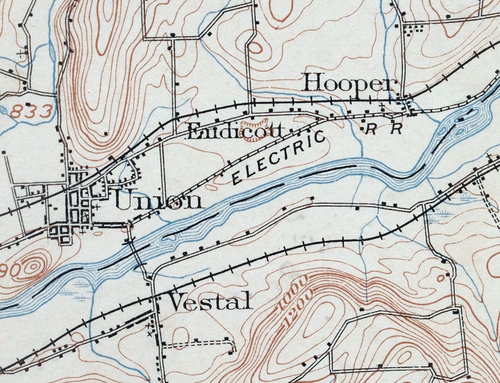
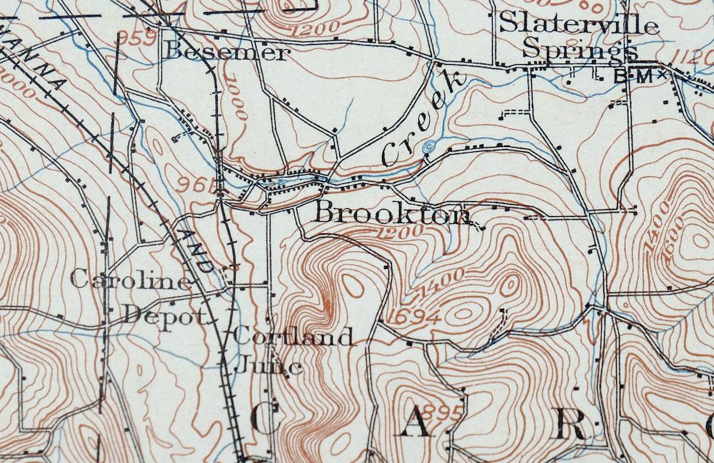
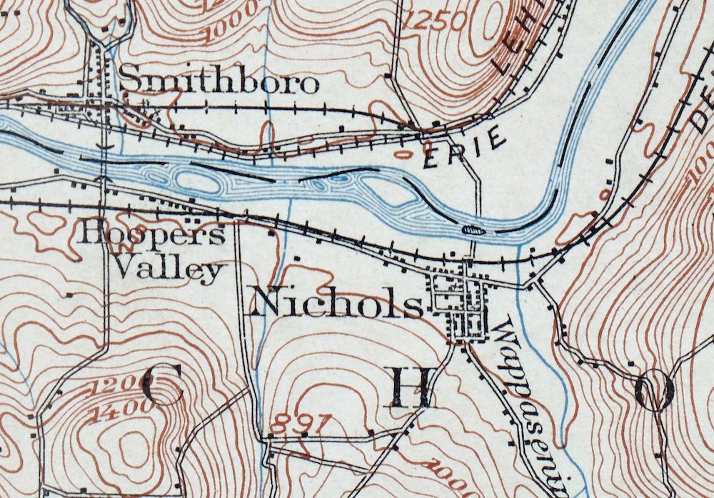
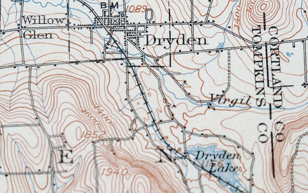
This USGS 30-minute topographic sheet is a 1906 edition, printed in 1908, and this print has been kept in very good condition on thick stock – never folded, smooth and flat, with a flawless map area. Covering roughly 26 by 35 miles of central New York in the vicinity of Ithaca, the quad area takes in Ithaca itself along with Owego, Endicott, and the smaller communities of Slaterville Springs, Berkshire, and Vestal across Tioga, Tompkins, Broome, and Cortland counties. Surveyed between 1898 and 1901, before the modern highway and interstate system, it records the older network of travel routes, rail lines, and placenames that shaped the Finger Lakes country of that era. The hole punches along the left collar and a few scattered light blemishes are the only marks on an otherwise clean sheet, drawn from an uncommonly well-preserved collection.
In stock
This antique sheet is a 1906 edition of the Catatonk New York USGS topographic map. It is an authentic 118-year-old 1908 United States Geological Survey print in very good condition.
HOW THIS MAP CAN BE USED
In addition to making a fascinating conversation piece, this sheet would look great in a frame or on display, make a unique and prized gift for anyone interested in this area, be perfect as a reference for genealogy studies or general historical research, or fill that missing piece in your collection.
FEATURES SHOWN ON THE MAP
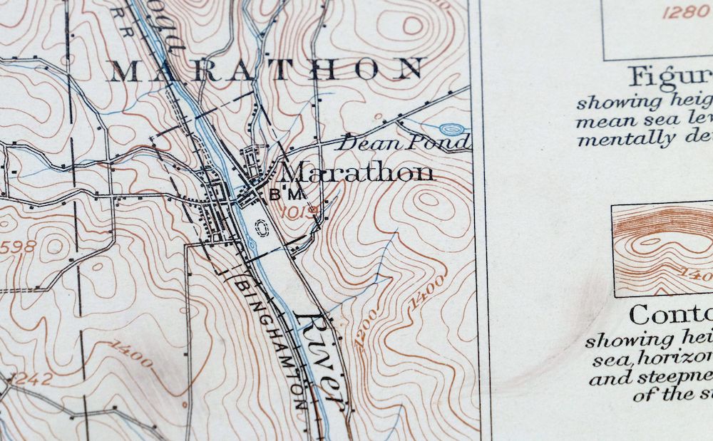
The Catatonk 30-minute map shows cities and towns, roads, railroads, rivers, creeks, elevation contour lines, public land survey lines, county, state, and other administrative boundaries as they existed at the time of the survey in 1898 through 1901.
A VALUABLE HISTORICAL RECORD
Maps from the USGS 30-minute series have been out of print for many years. They have never been common and original prints are increasingly difficult to find. For areas where the 30-minute map was produced, it is usually the first large-scale survey done by the USGS for that area. These are a valuable historical record, as they contain many placenames and features that have been dropped from more recent series’ and editions.
Nearby maps
-
Cortland New York Preble Homer USGS Topographic Map 1911
$75 Add to cart -
Le Raysville Pennsylvania Little Meadows USGS Topo Map 1965
$41 Add to cart -
Towanda Pennsylvania Rome USGS 15-Min Topo Map 1960 Vintage
$43 Add to cart -
Pitcher New York South Otselic USGS Topo Map 1910 Antique
$55 Add to cart -
Oxford New York Coventry Chenango River USGS Topo Map 1913
$54 Add to cart -
Norwich New York Sherburne Smyrna USGS Topographic Map 1910
$90 Add to cart -
Ovid New York Seneca Lake Dundee USGS Topo Map 1909 Antique
$105 Add to cart -
Susquehanna Pennsylvania Hallstead USGS 15-Min Topo Map 1959
$46 Add to cart -
Tully New York Syracuse Manlius USGS Topo Map 1910 Antique
$105 Add to cart -

Tunkhannock Pennsylvania Dalton Glenburn USGS Topo Map 1952
$40 Add to cart -
New Berlin New York Sherburne Morris USGS Topo Map 1912
$52 Add to cart -
Starrucca Pennsylvania Hancock Lakewood USGS Topo Map 1964
$40 Add to cart -

Tioga Pennsylvania Mansfield USGS Topo Map 1903 Antique
$68 Add to cart -

Canton Pennsylvania Alba Ralston USGS Topo Map 1958 Vintage
$20 Add to cart -

Bath New York Avoca Cohocton USGS Topo Map 1910 Antique
$52 Add to cart -
Phelps New York Geneva Canandaigua USGS 15-Min Topo Map 1910
$64 Add to cart -
Honesdale Pennsylvania Carbondale Waymart USGS Topo Map 1945
$49 Add to cart -
Naples New York Cohocton Middlesex USGS Topographic Map 1908
$90 Add to cart -
Weedsport New York Port Byron Cato USGS 15-Min Topo Map 1905
$86 Add to cart -

Elkland Pennsylvania Wellsboro Knoxville USGS Topo Map 1903
$52 Add to cart -
Eagles Mere Pennsylvania Laporte USGS Topographic Map 1961
$36 Add to cart -
Olyphant Pennsylvania Scranton Dunmore USGS Topo Map 1960
$37 Add to cart -
Kingston Pennsylvania Wilkes-Barre USGS Topographic Map 1959
$39 Add to cart -
Oneida New York Rome Canastota USGS Topo Map 1909 Antique
$52 Add to cart