MAP DETAILS | |
|---|---|
| TITLE | Le Raysville |
| STATE | Pennsylvania, New York |
| LOCATION | 20 miles southwest of Binghamton, NY |
| SERIES | 15-minute |
| SURVEYED | 1943 Field Survey |
| EDITION | 1943 |
| PRINTED | 1965 |
| PRINT NOTES | Thick paper stock, includes woodland tint (green to indicate vegetated areas) |
| SCALE | 1:62500 |
| CONTOUR INTERVAL | 20 feet |
| SHEET DIMENSIONS | 17 x 21 inches |
| MAP DIMENSIONS | 13 x 17 1/2 inches |
| COVERAGE AREA | 13 x 17 miles |
| SHEET CONDITION For maps of this vintage, effort is made to note all visible flaws, no matter how minor. | |
| OVERALL CONDITION | Very Good |
| SHEET NOTES | lightly handled, never folded |
| MAP AREA | no wear, no markings, no blemishes |
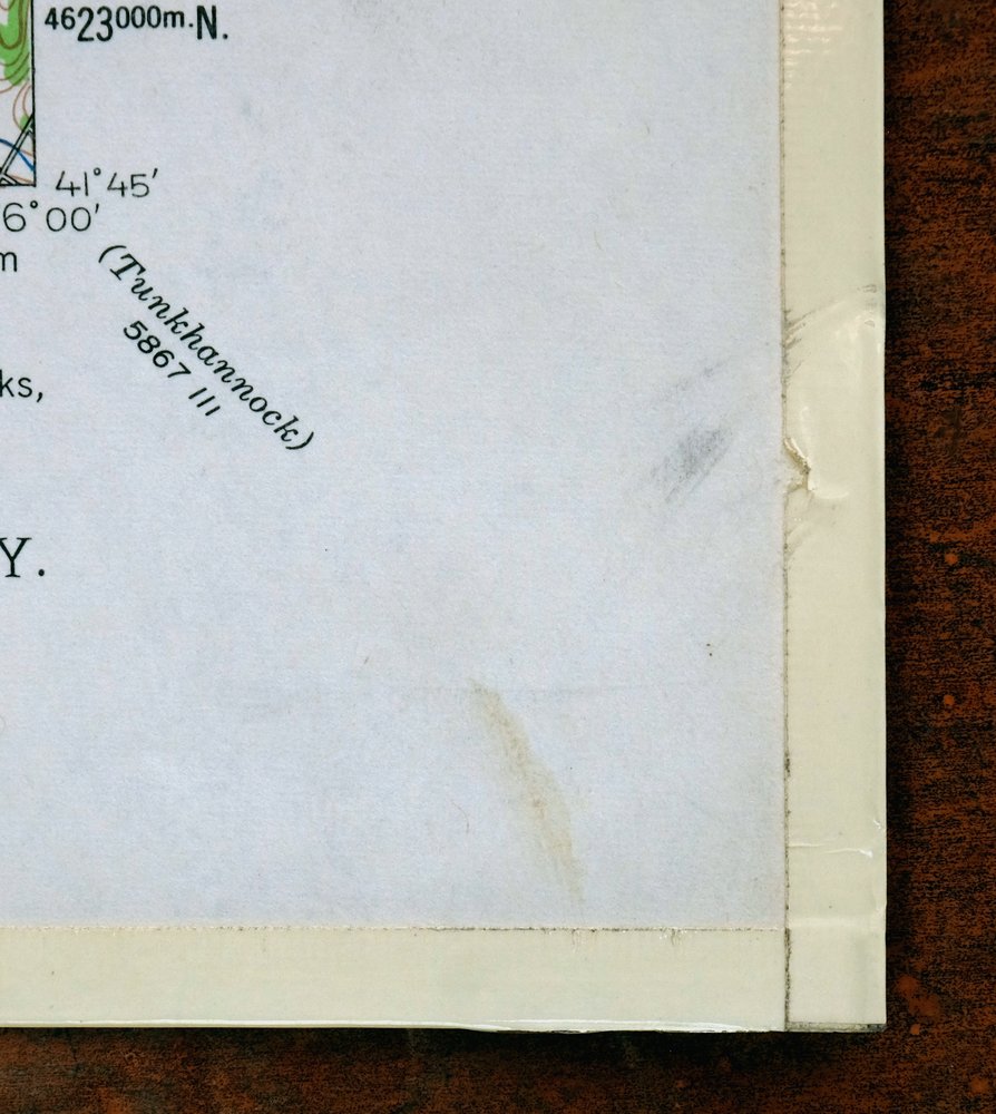
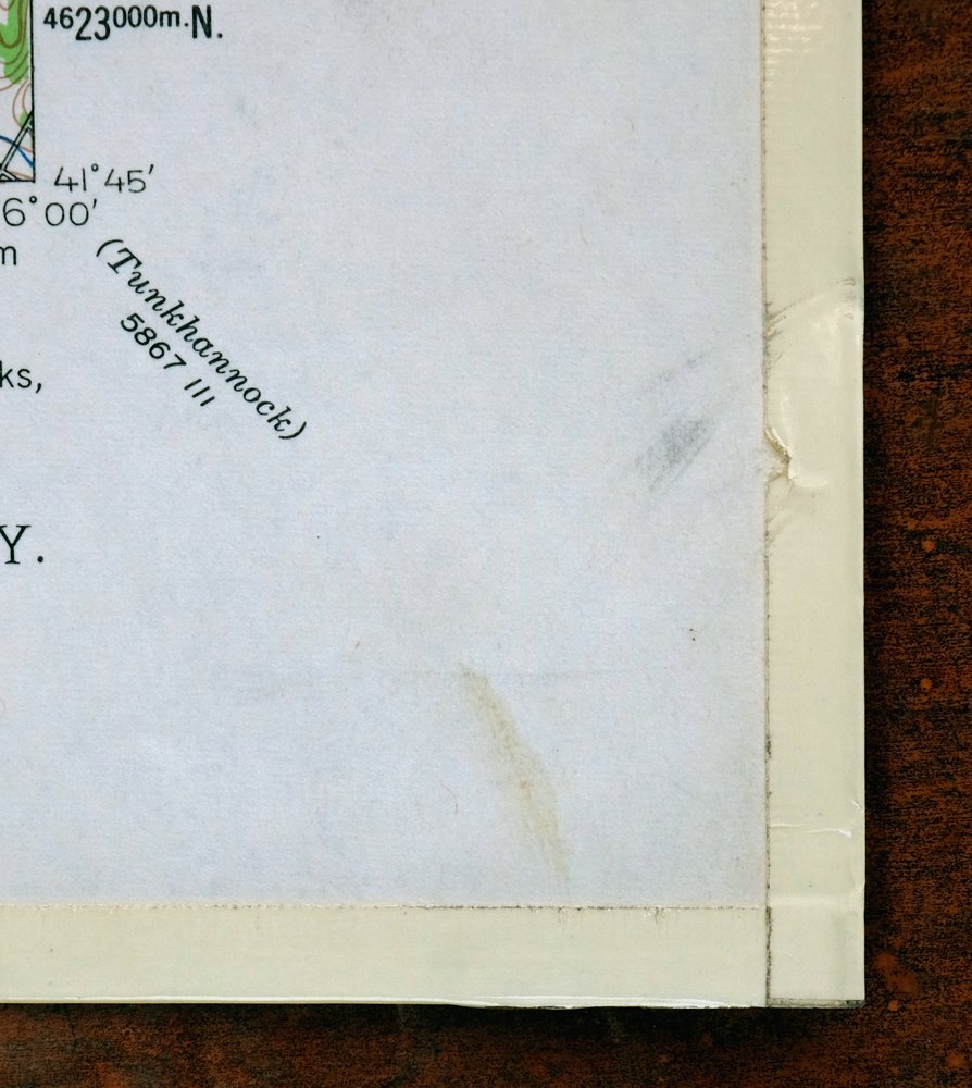
| COLLARS | very minor markings, very minor blemishes, edge protectors applied, library stamp in center right collar, no edge tears |
 | |
| MAP COVERAGE Quadrangle extent overlaid on current basemap. | |
| PLACENAMES Depending on map series and survey date, all of the features listed below may not be shown on this map. This list contains features that currently exist or historically existed within the area covered by the map. The list can be used as a reference to determine if this map covers your area of interest. Placenames are listed alphabetically next to each feature type. | |
| CITIES AND TOWNS (CURRENT) | Friendsville, Le Raysville, Little Meadows, and Stevensville |
| COUNTIES COVERED | Bradford, Broome, Susquehanna, and Tioga |
| RIVERS AND STREAMS | Apalachin Creek, Baldwin Creek, Camps Creek, Chaffee Run, Choconut Creek, Cold Creek, Corbin Creek, Cork Hill Creek, Deer Lick Creek, Deuel Creek, Dewing Creek, East Branch Wyalusing Creek, Elk Lake Stream, Gaylord Creek, Lee Creek, Middle Branch Wyalusing Creek, Mill Creek, North Branch Wyalusing Creek, Pendleton Creek, Prince Hollow Run, Rockwell Creek, Ross Creek, Snell Creek, South Creek, Southwick Creek, Stonestreet Creek, Summers Creek, Terry Creek, Wappasening Creek, Williams Creek, Wolf Creek, and Wyalusing Creek |
| WATER BODIES | Agnew Pond, Bert Jayne Pond, Carey Swamp, Carmault Lake, Chillson Pond, Choconut Lake, Cooks Pond, Courtland Birchard Pond, Haig Pond, Highland Lake, Leisure Lakes, Lake Of Meadows, Minkler Lake, Moore Pond, Reeves Pond, Rigsby Pond, Rockwell Pond, Smith Pond, Stanley Lake, Totem Lake, and Zion Heights Pond |
| Pennsylvania Populated Place: Birchardville, Brushville, Cadis, East Herrick, Friendsville, Lawton, Le Raysville, Little Meadows, Middletown Center, Neath, Nixon, Parks Crossroad, Potterville, Prattville, Rush, Rushville, South Warren, Stevensville, Stone House Corner, Warren Center, Warrenham, Wells Hollow, and Zion Heights. Locations: Camp Arrowhead, Camp Choconut, Chaffee Corners, Concklin Corners, Stevens Corners, and Turrell Corners. Administrative Boundaries: Borough of Friendsville, Borough of Le Raysville, Borough of Little Meadows, Township of Apolacon, Township of Choconut, Township of Middletown, Township of Pike, Township of Rush, Township of Stevens, and Township of Warren. Mountains, Peaks, and Summits: Cork Hill and Fowler Hill. Valleys and Canyons: Jackson Valley. Parks: State Game Lands Number 140. Drainages: Cases Creek, Fisher Hall Creek, Baldwin Creek, Beaver Creek, Bow Bridge Creek, Chaffee Run, Corbin Creek, Deer Lick Creek, Deuel Creek, Dewing Creek, East Branch Wyalusing Creek, Elk Lake Stream, Ford Street Creek, Gaylord Creek, Lee Creek, Middle Branch Wyalusing Creek, Mill Creek, North Branch Wyalusing Creek, Pendleton Creek, Rockwell Creek, Ross Creek, Snell Creek, Southwick Creek, Stonestreet Creek, Summers Creek, Terry Creek, Williams Creek, and Wolf Creek. Churches: Choconut Chapel, Saint Francis Church, Saint Matthews Church, Saint Patricks Church, and Saint Thomas Church. Post Office: Friendsville Post Office, Lawton Post Office, Le Raysville Post Office, Little Meadows Post Office, Stevensville Post Office, and Warren Center Post Office. Lakes and Ponds: Agnew Pond, Atwoods Pond, Bert Jayne Pond, Carmault Lake, Chillson Pond, Lake Of Meadows, Reeves Pond, Rigsby Pond, Rockwell Pond, Smith Pond, Stanley Lake, and Zion Heights Pond. Buildings: Leraysville - Pike Volunteer Fire Department - Station 6, Little Meadows Volunteer Fire Company - Little Meadows Rescue Squad, Rush Volunteer Fire Department, Rush Volunteer Fire Department Station 2, and Warren Township Volunteer Fire Department Station 18. Dams: Cooks Pond Dam, Minkler Lake Dam, Stanley Lake Dam, Stone Lake Dam, and Totem Lake Dam. Airports: Giffin Airport. Swamps: Carey Swamp and Gulf Pond. Schools: Flynn School, Maple Grove School, and Northeast Bradford High School. Ridges: Devine Ridge. Reservoirs and Tanks: Choconut Lake, Cooks Pond, Courtland Birchard Pond, Haig Pond, Highland Lake, Leisure Lakes, Minkler Lake, Moore Pond, Phillips Pond, and Totem Lake. Cemetery: Albert Brainard Family Cemetery, Bosworth Cemetery, East Herrick Cemetery, Ford Family Cemetery, Le Raysville Cemetery, Neath Cemetery, Overpeck Cemetery, Saint Luke's Cemetery, Sleeper Hill Cemetery, South Warren Cemetery, Stevensville Cemetery, Valley View Cemetery, Warren Center Cemetery, Cadis Cemetery, Coburn Dewing Cemetery, County Home Cemetery, Darling Cemetery, Devine Ridge Cemetery, East Rush Cemetery, Fowler Hill Cemetery, Rush Center Memorial Park, Saint Francis Cemetery, Saint Johns Cemetery, Saint Thomas the Apostle Cemetery, Steadwell Cemetery, Stevens Cemetery, and Stonestreet Cemetery. | |
| New York Drainages: Cork Hill Creek. | |
| SHIPPING AND RETURNS | |
 This map sheet will be carefully rolled in a sturdy tube and shipped via the US Postal Service. If you find that the sheet you receive is not as described in the listing, you may ship it back to us for a refund of the purchase price. | |
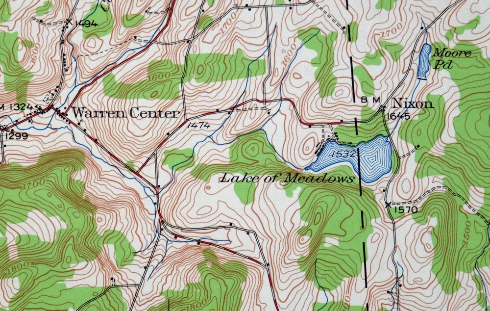
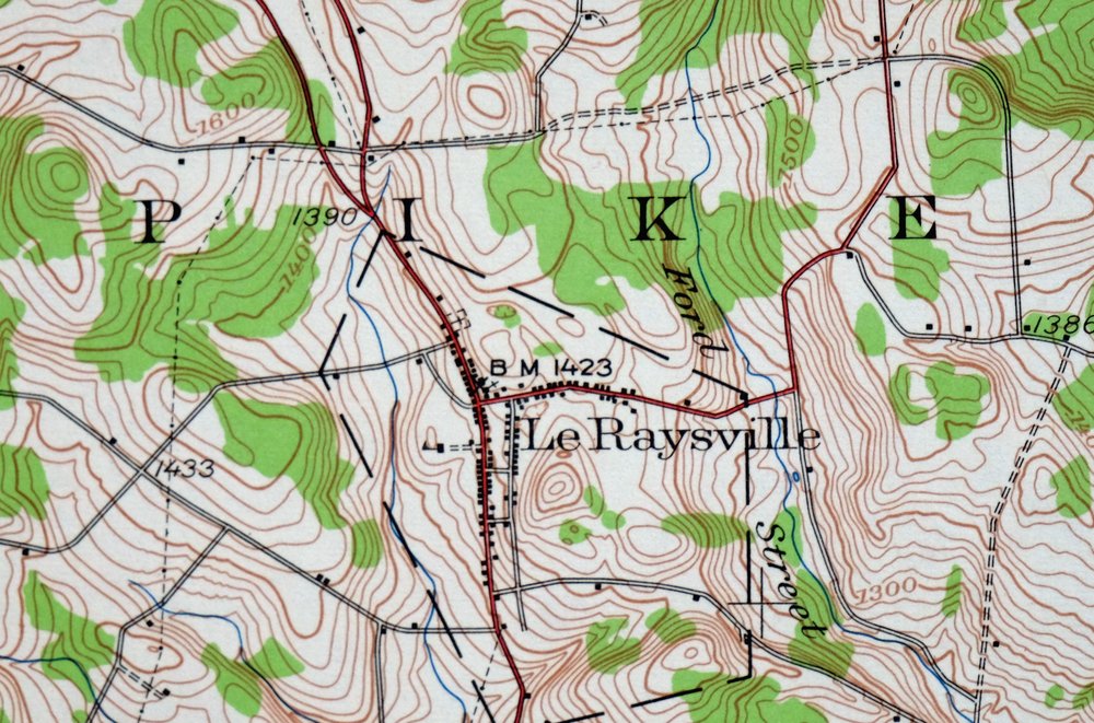
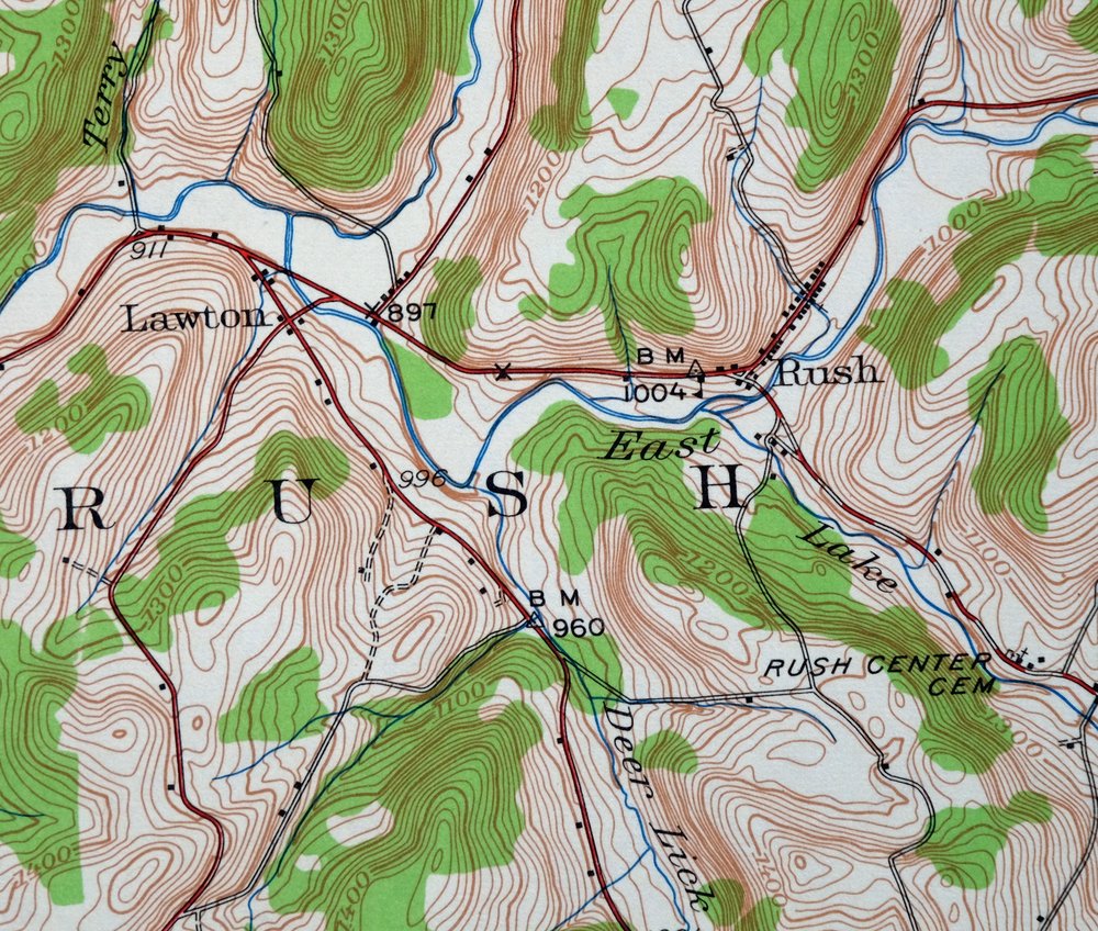
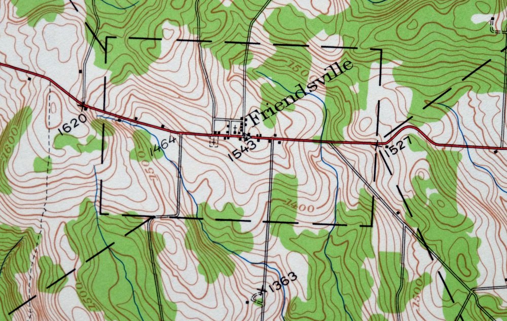
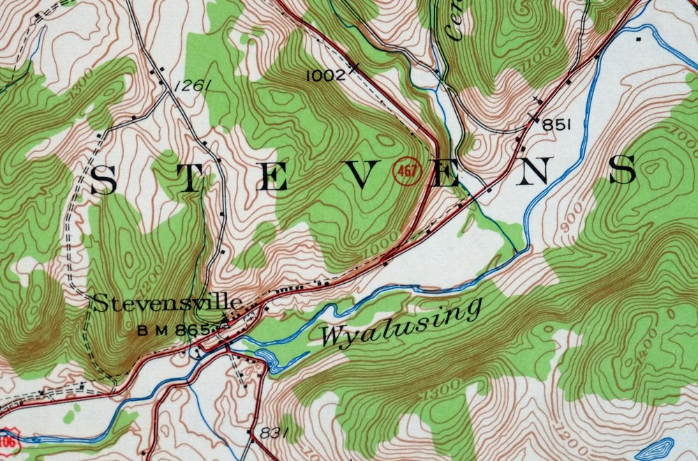
Le Raysville Pennsylvania Little Meadows USGS Topo Map 1965
$41
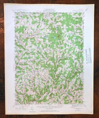
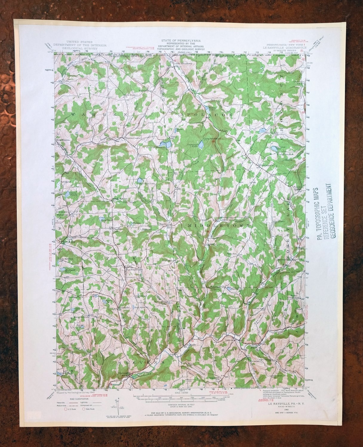
This USGS 15-minute topographic map is a 1943 edition printed in 1965, in very good condition with no wear in the map area and a library stamp in the collar; it has been kept on thick stock and was never folded. Drawn from a 1943 field survey at a scale of 1:62,500, it takes in the northern Pennsylvania countryside where Bradford and Susquehanna counties meet the New York line, with the quad area including Le Raysville, Little Meadows, Friendsville, and Stevensville. This is rolling farm and creek country in the hills southwest of Binghamton, the kind of quiet borderland landscape that rewards anyone with roots in the area.
In stock
This vintage sheet is a 1943 edition of the Le Raysville Pennsylvania USGS topographic map. It is an original 61-year-old 1965 United States Geological Survey print in very good condition.
HOW THIS MAP CAN BE USED
In addition to making a fascinating conversation piece, this sheet would look great in a frame or on display, make a unique and prized gift for anyone interested in this area, be perfect as a reference for genealogy studies or general historical research, or fill that missing piece in your collection. Maps of this vintage are printed on durable stock and are well-suited for outdoor activities and recreation of all kinds, including hiking, backpacking, hunting, rafting and kayaking, backcountry skiing, geocaching, general exploration, treasure hunting, etc.
FEATURES SHOWN ON THE MAP
The Le Raysville 15-minute map shows cities and towns, roads, railroads, utilities and energy infrastructure, rivers, creeks, elevation contour lines, public land survey lines, county, state, and other administrative boundaries as they existed at the time of the survey in 1943. All known structures (houses, businesses, churches, schools, barns, cabins, etc) are also shown.
A VALUABLE HISTORICAL RECORD
Maps from the 15-minute series for the continental United States are no longer produced or printed by the USGS and original prints are becoming increasingly difficult to find. They are a valuable historical record for an area, as they contain many placenames and features that have been dropped from more recent maps.
Nearby maps
-
Towanda Pennsylvania Rome USGS 15-Min Topo Map 1960 Vintage
$43 Add to cart -

Tunkhannock Pennsylvania Dalton Glenburn USGS Topo Map 1952
$40 Add to cart -
Susquehanna Pennsylvania Hallstead USGS 15-Min Topo Map 1959
$46 Add to cart -
Starrucca Pennsylvania Hancock Lakewood USGS Topo Map 1964
$40 Add to cart -

Canton Pennsylvania Alba Ralston USGS Topo Map 1958 Vintage
$20 Add to cart -
Honesdale Pennsylvania Carbondale Waymart USGS Topo Map 1945
$49 Add to cart -
Oxford New York Coventry Chenango River USGS Topo Map 1913
$54 Add to cart -
Eagles Mere Pennsylvania Laporte USGS Topographic Map 1961
$36 Add to cart -

Tioga Pennsylvania Mansfield USGS Topo Map 1903 Antique
$68 Add to cart -
Cortland New York Preble Homer USGS Topographic Map 1911
$75 Add to cart -
Warrensville Pennsylvania Barbours USGS Topographic Map 1962
$42 Add to cart -
Pitcher New York South Otselic USGS Topo Map 1910 Antique
$55 Add to cart -

Damascus Pennsylvania Honesdale USGS Topo Map 1964 Vintage
$35 Add to cart -
Norwich New York Sherburne Smyrna USGS Topographic Map 1910
$90 Add to cart -

Hughesville Pennsylvania Millville Iola USGS Topo Map 1962
$42 Add to cart -
Hawley Pennsylvania Tafton USGS 15-Min Topo Map 1964 Vintage
$44 Add to cart -

Elkland Pennsylvania Wellsboro Knoxville USGS Topo Map 1903
$52 Add to cart -
New Berlin New York Sherburne Morris USGS Topo Map 1912
$52 Add to cart -
Ovid New York Seneca Lake Dundee USGS Topo Map 1909 Antique
$105 Add to cart -
Catatonk New York Ithaca Endicott USGS Topo Map 1908 Antique
$65 Add to cart -
Kingston Pennsylvania Wilkes-Barre USGS Topographic Map 1959
$39 Add to cart -
Olyphant Pennsylvania Scranton Dunmore USGS Topo Map 1960
$37 Add to cart -
Wilkes-barre West Pennsylvania Nanticoke USGS Topo Map 1958
$30 Add to cart -

Wilkes-barre East Pennsylvania Laurel Run USGS Topo Map 1959
$36 Add to cart