| MAP DETAILS | |
|---|---|
| TITLE | Mount Lemmon |
| STATE | Arizona |
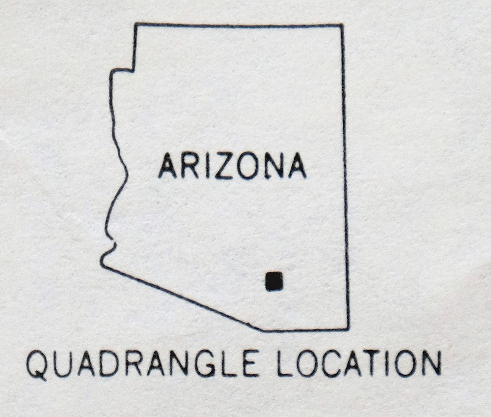
| LOCATION | Vicinity of Tucson |
| SERIES | 15-minute |
| SURVEYED | 1953 through 1957 Aerial and Field Survey |
| EDITION | 1957 |
| PRINTED | 1967 |
| SCALE | 1:62500 |
| CONTOUR INTERVAL | 80 feet |
| SHEET DIMENSIONS | 17 7/8 x 21 7/8 inches |
| MAP DIMENSIONS | 14 3/4 x 17 1/2 inches |
| COVERAGE AREA | 15 x 17 miles |
| SOURCE | From the vintage map collection of Art Christiansen, Tempe, Arizona |
| SHEET CONDITION For maps of this vintage, effort is made to note all visible flaws, no matter how minor. | |
| OVERALL CONDITION | Excellent |
| SHEET NOTES | very lightly handled, never folded, smooth and flat |
| MAP AREA | flawless map area |
| COLLARS | no wear or tears, no markings, no blemishes |
| MAP COVERAGE Quadrangle extent overlaid on current basemap. | |
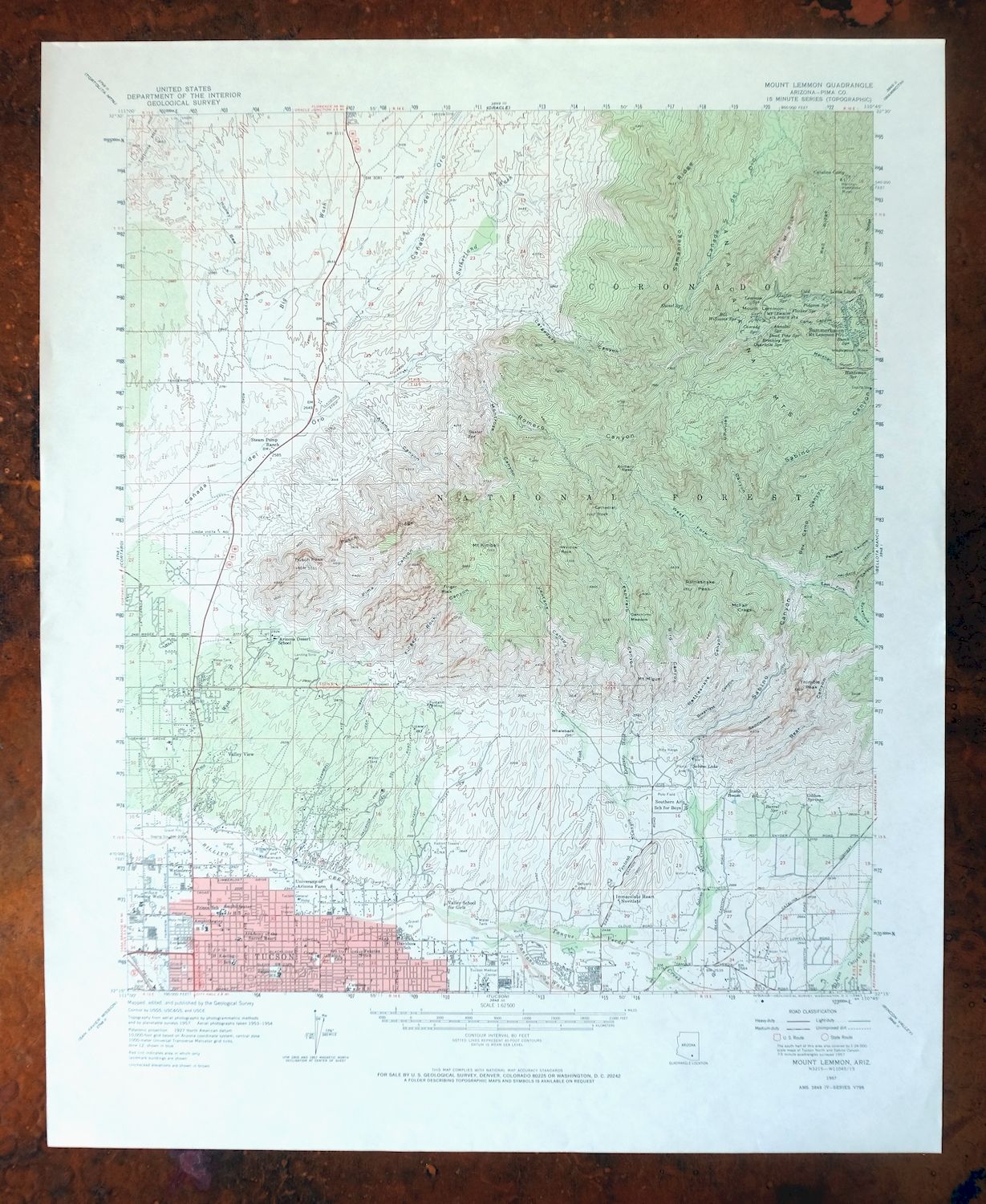
Mount Lemmon Arizona Tucson Casas Adobes USGS Topo Map 1967
$58
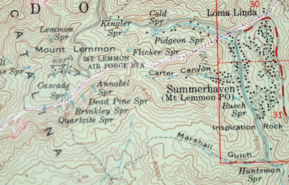
This USGS 15-minute topographic map is a 1957 edition, printed in 1967, and the sheet is in excellent condition: very lightly handled, never folded, smooth and flat on thick stock. Covering a stretch of Pima County in the vicinity of Tucson, its boundaries take in the Santa Catalina foothills and parts of the Coronado National Forest and Pusch Ridge Wilderness, with the quad area reaching from the northern edge of Tucson toward Catalina and Oro Valley. Surveyed in the 1950s, it records the northern Tucson area when the foothills were still mostly dirt roads and ranches and Oro Valley was open desert. It comes from the vintage map collection of Art Christiansen of Tempe, Arizona.
In stock
This vintage sheet is a 1957 edition of the Mount Lemmon Arizona USGS topographic map. It is an original 59-year-old 1967 United States Geological Survey print in excellent condition.
HOW THIS MAP CAN BE USED
In addition to making a fascinating conversation piece, this sheet would look great in a frame or on display, make a unique and prized gift for anyone interested in this area, be perfect as a reference for genealogy studies or general historical research, or fill that missing piece in your collection. Maps of this vintage are printed on durable stock and are well-suited for outdoor activities and recreation of all kinds, including hiking, backpacking, hunting, rafting and kayaking, backcountry skiing, geocaching, general exploration, treasure hunting, etc.
FEATURES SHOWN ON THE MAP
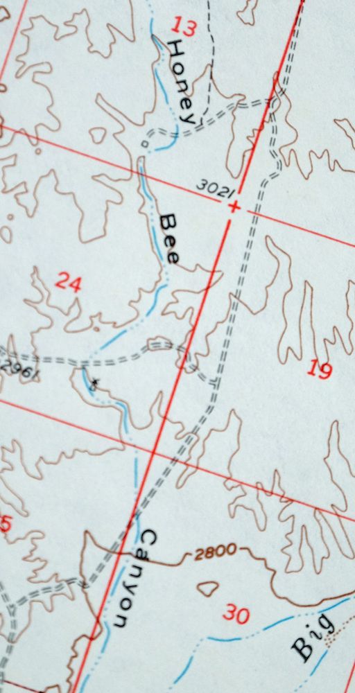
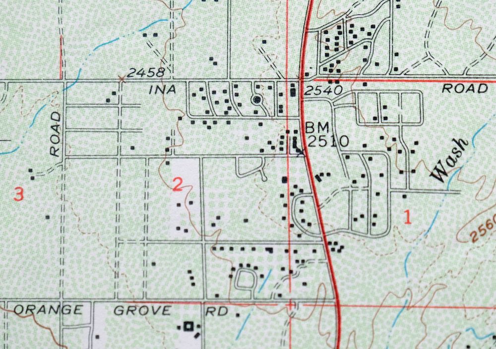
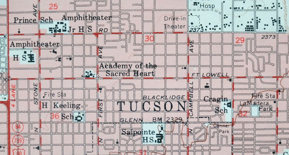
The Mount Lemmon 15-minute map shows cities and towns, roads, railroads, utilities and energy infrastructure, rivers, creeks, elevation contour lines, public land survey lines, county, state, and other administrative boundaries as they existed at the time of the survey in 1953 through 1957. A reddish tint is used on this sheet to indicate urban areas where only landmark buildings are depicted. Outside of those areas, all known structures (houses, businesses, churches, schools, barns, cabins, etc) are shown.
A VALUABLE HISTORICAL RECORD
Maps from the 15-minute series for the continental United States are no longer produced or printed by the USGS and original prints are becoming increasingly difficult to find. They are a valuable historical record for an area, as they contain many placenames and features that have been dropped from more recent maps.
PLACENAMES
The following places are found within the boundary of this quadrangle. They may or may not be shown or labeled, depending on the map series and vintage.
* Cities and Towns-> Casas Adobes, Catalina, Catalina Foothills, Flowing Wells, Oro Valley, Tanque Verde, Tortolita, and Tucson
* Counties Covered-> Pima
* Federal Land Units-> Coronado National Forest and Pusch Ridge Wilderness
* Rivers and Streams-> Batamote Wash, Big Wash, Chalk Creek, Esperero Wash, Pantano Wash, Pima Wash, Rillito River, Sabino Creek, Santa Cruz RiverSausaulito Creek, and others
* Water Bodies-> Twin Lakes
Nearby maps
-
Cortaro Arizona Tucson Oro Valley USGS Topographic Map 1947
$62 Add to cart -

Tucson Arizona Davis-Monthan Tanque Verde USGS Topo Map 1963
$58 Add to cart -
Oracle Arizona Catalina USGS 15-Min Topo Map 1964 Vintage
$52 Add to cart -

Tortolita Mountains Arizona USGS 15-Min Topographic Map 1964
$46 Add to cart -
San Xavier Mission Arizona Tucson USGS Topo Map 1961 Vintage
$53 Add to cart -
Red Rock Arizona Picacho Peak Marana USGS Topo Map 1965
$47 Add to cart -
Winkelman Arizona Dudleyville Hayden USGS Topo Map 1966
$47 Add to cart -
Empire Mountains Arizona Vail Pantano USGS Topo Map 1961
$48 Add to cart -

Winchester Mountains Arizona The Mesas USGS Topo Map 1962
$43 Add to cart -
Vaca Hills Arizona Papago USGS Topographic Map 1965 Vintage
$44 Add to cart -

Klondyke Arizona USGS 15-Min Topographic Map 1971 Vintage
$48 Add to cart -
Benson Arizona Coronado NF St. David USGS Topo Map 1962
$49 Add to cart -
Christmas Arizona USGS 15-Min Topographic Map 1917 Antique
$65 Add to cart -

Elgin Arizona Patagonia Sonoita USGS Topo Map 1971 Vintage
$55 Add to cart -
Signal Peak Arizona Casa Grande Eloy USGS Topo Map 1960
$49 Add to cart -
Baboquivari Peak Arizona USGS 15-Min Topo Map 1967 Vintage
$48 Add to cart -
Cochise Arizona Willcox USGS 15-Min Topo Map 1963 Vintage
$43 Add to cart -
Casa Grande Arizona Stanfield Bon USGS Topographic Map 1959
$52 Add to cart -

Sacaton Arizona Gilbert Coolidge USGS Topographic Map 1948
$60 Add to cart -
Tombstone Arizona Sierra Vista USGS Topo Map 1959 Vintage
$58 Add to cart -
Presumido Peak Arizona USGS 15-Min Topo Map 1960 Vintage
$45 Add to cart -
Sells Arizona Topawa Cowlic USGS 15-Min Topographic Map 1948
$52 Add to cart -
Tucson North Arizona Casas Adobes USGS Topo Map 1977 Vintage
$56 Add to cart -

Marana Arizona Picture Rocks Rillito USGS Topo Map 1976
$54 Add to cart
