MAP DETAILS | |
|---|---|
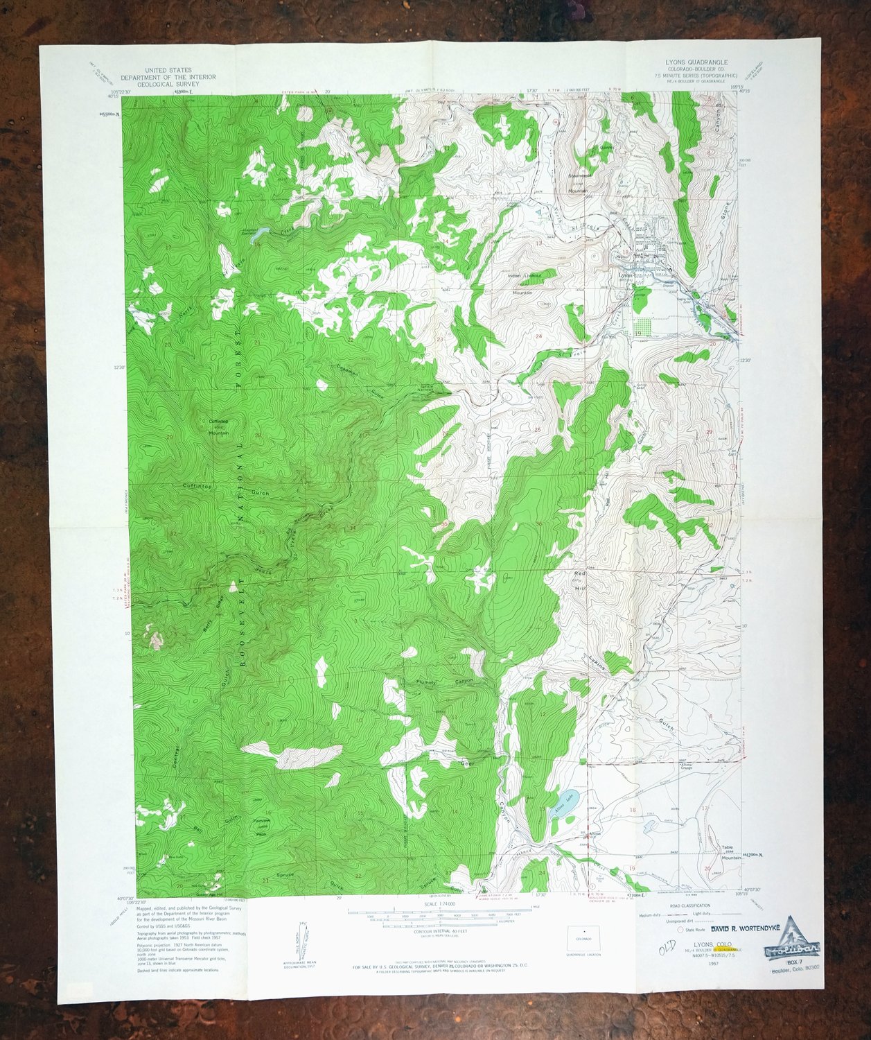
| TITLE | Lyons |
| STATE | Colorado |
| SURVEYED | 1953 and 1957 Aerial and Field Survey |
| PRINT NOTES | Thick paper stock, includes woodland tint (green to indicate vegetated areas) |
| SCALE | 1:24000 |
| CONTOUR INTERVAL | 40 feet |
| SHEET DIMENSIONS | 22 x 27 inches |
| MAP DIMENSIONS | 17 3/8 x 22 3/4 inches |
| COVERAGE AREA | 7 x 9 miles |
| SOURCE | From the vintage map collection of David R. Wortendyke, Boulder, Colorado |
| SHEET CONDITION For maps of this vintage, effort is made to note all visible flaws, no matter how minor. | |
| SHEET NOTES | lightly handled, has foldlines |
| MAP AREA | no markings, no blemishes |
| COLLARS | no wear or tears, no blemishes, yellow highlight and 'old' pen notation at sheet title, inventory stamp in lower right collar |
| MAP COVERAGE Quadrangle extent overlaid on current basemap. | |
| PLACENAMES Depending on map series and survey date, all of the features listed below may not be shown on this map. This list contains features that currently exist or historically existed within the area covered by the map. The list can be used as a reference to determine if this map covers your area of interest. Placenames are listed alphabetically next to each feature type. | |
| NOTABLE PLACES | Altona, Saint Vrain Creek, and Fairview Peak |
| CITIES AND TOWNS (CURRENT) | Lyons |
| COUNTIES COVERED | Boulder |
| FEDERAL LAND UNITS | Roosevelt National Forest |
| RIVERS AND STREAMS | Left Hand Creek, North Saint Vrain Creek, and South Saint Vrain Creek |
| WATER BODIES | Button Rock Reservoir and Longmont Reservoir |
| Populated Place: Altona and Lyons. Locations: Altona Grange, Crestview Estates, Hardt Estates, Lyons Park Estates, and South Saint Vrain Picnic Ground. Administrative Boundaries: Town of Lyons. Mountains, Peaks, and Summits: Coffintop Mountain, Fairview Peak, Indian Lookout Mountain, Red Hill, Steamboat Mountain, and Table Mountain. Valleys and Canyons: Ball Gulch, Big Narrows, Central Gulch, Coffintop Gulch, Deadman Gulch, Geer Canyon, Little Narrows, Long Gulch, Plumely Canyon, Red Hill Gulch, Spring Gulch, and Stone Canyon. Parks: Hall Ranch. Drainages: North Saint Vrain Creek and South Saint Vrain Creek. Mines: Brodies Saint Vrain Quarry, Cal-Wood Mica Mine, Carol Gore Quarry, Cashier Mine, Clemens Quarry, Copper Blush Mine, Dale Taylor Lease Quarry, December Mine, Dewey Rocky Mountain Quarry, Durias Mine, Ellen Mine, Eureka Mine, Golden Age Mine, Hammons Quarry, Heil Quarry, Hercules Mine, Johnson Quarry, King Mountain Quarry, Kline Quarry, Longfellow Mine, Lyons Quarry, McCall Quarries, Pickett Quarry, Rawley Quarry, Rocking WP Pit, Rusty Gold and Cerite Claims, Sisk Mine, Sprague Red Pit, Steamboat Valley Quarry, Summers Quarry, United Building Stone Quarry, and University of Colorado Quarry. Post Office: Lyons Post Office. Lakes and Ponds: Allens Lake. Buildings: Longmont Powerplant, Lefthand Fire Protection District Station 1, and Lyons Fire Protection District Station 1. Dams: Allen Lake Dam and Button Rock Dam. Canals: Lake Ditch, South Ledge Ditch, Toll Gate Ditch, and Mathews Ditch. Census: Altona Census Designated Place. Schools: Lyons Middle Senior High School. Ridges: Berry Ridge. Reservoirs and Tanks: Longmont Reservoir. Flats: Antelope Park. Tunnels: Saint Vrain Supply Tunnel. | |
| SHIPPING AND RETURNS | |
 Ships carefully rolled in a sturdy 2" x 24" mailing tube. Shipping and return details are in our terms. | |
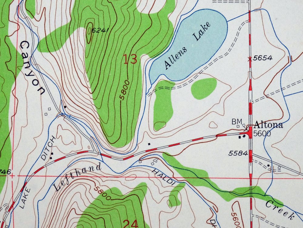
Lyons, Altona, Colorado 1957 USGS Topo Map
$33
- 36 miles northwest of Denver.
- 7.5-minute series, 1957 edition, printed in 1961.
- Very good condition.
In stock
This vintage sheet is a 1957 edition of the Lyons Colorado USGS topographic map. It is an original 65-year-old 1961 United States Geological Survey print in very good condition.
HOW THIS MAP CAN BE USED
In addition to making a fascinating conversation piece, this sheet would look great in a frame or on display, make a unique and prized gift for anyone interested in this area, be perfect as a reference for genealogy studies or general historical research, or fill that missing piece in your collection. Maps of this vintage are printed on durable stock and are well-suited for outdoor activities and recreation of all kinds, including hiking, backpacking, hunting, rafting and kayaking, backcountry skiing, geocaching, general exploration, treasure hunting, etc.
FEATURES SHOWN ON THE MAP
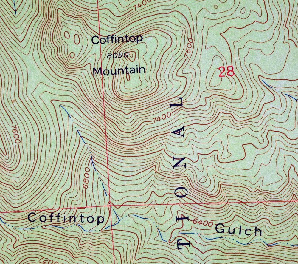
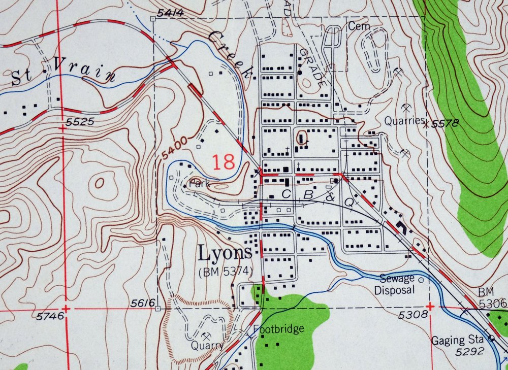
The Lyons 7.5-minute map shows cities and towns, roads, paths, railroads, utilities and energy infrastructure, rivers, creeks, elevation contour lines, public land survey lines, county, state, and other administrative boundaries as they existed at the time of the survey in 1953 and 1957. All known structures (houses, businesses, churches, schools, barns, cabins, etc) are also shown.
A VALUABLE HISTORICAL RECORD
This map is from the 7.5-minute series, the most detailed series that is widely available from the USGS. The 1957 Lyons map is a valuable historical record for the area. It contains some placenames and features that have been dropped from more recent maps.
Nearby maps
-
Boulder, Glendale, Colorado 1957 USGS Topo Map
$38 Add to cart -
1942 USGS Topo Map: Eldorado Springs, Colorado (1961 Print)
$36 Add to cart -
1942 USGS Topo Map: Tungsten, Barker Reservoir, Colorado
$39 Add to cart -
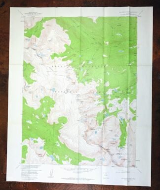
Mchenrys Peak, Colorado 1957 USGS Topo Map
$33 Add to cart -

Estes Park, Colorado 1961 USGS Topo Map
$31 Add to cart -

Lafayette, Broomfield, Colorado 1965 USGS Topo Map
$37 Add to cart -
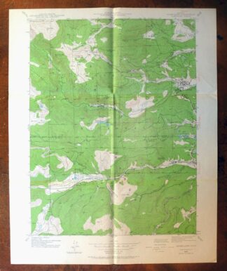
1942 USGS Topo Map: Nederland, Eldora, Colorado (1964 Print)
$34 Add to cart -
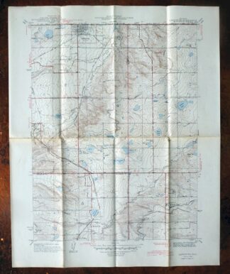
Lafayette, Colorado 1944 USGS Topo Map: Broomfield
$36 Add to cart -
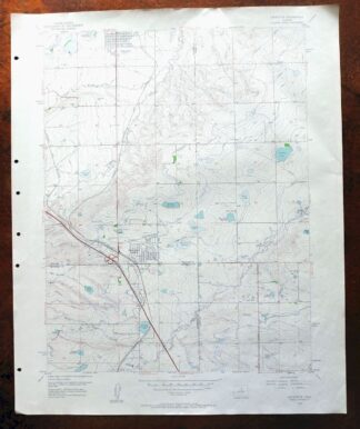
Lafayette, Broomfield, Colorado 1956 USGS Topo Map
$29 Add to cart -

Eastlake, Colorado 1944 USGS Topo Map: Thornton
$47 Add to cart -
Eastlake, Thornton, Colorado 1965 USGS Topo Map (Northglenn)
$29 Add to cart -
Trail Ridge, Colorado 1957 USGS Topo Map
$23 Add to cart -
1942 USGS Topo Map: Central City, Colorado (1964 Print)
$31 Add to cart -

Fort Logan, Colorado 1941 USGS Topo Map: Denver
$33 Add to cart -
Fort Logan, Denver, Colorado 1965 USGS Topo Map (Lakewood)
$35 Add to cart -
Long Branch, Colorado 1948 USGS Topo Map
$35 Add to cart -
1957 USGS Topo Map: Georgetown, Silver Plume, Colorado
$32 Add to cart -

Box Elder School, Denver, Colorado 1942 USGS Topo Map
$33 Add to cart -
Georgetown, Colorado 1957 USGS Topo Map (1980 Print)
$40 Add to cart -
Hot Sulphur Springs, Colorado 1957 USGS Topo Map
$33 Add to cart -
Fitzsimons, Aurora, Colorado 1948 USGS Topo Map
$35 Add to cart -
Rand, Colorado 1956 USGS Topo Map (1974 Print)
$34 Add to cart -
1942 USGS Topo Map: Coal Creek, Aurora, Colorado
$37 Add to cart -
Highland Ranch, Colorado 1949 USGS Topo Map: Lone Tree
$34 Add to cart