MAP DETAILS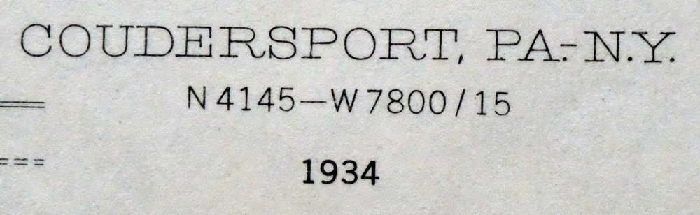 | |
|---|---|
| TITLE | Coudersport |
| STATE | Pennsylvania, New York |
| SURVEYED | 1933 and 1934 Field Survey |
| GEOGRAPHER | R.L. Harrison |
| PRINT NOTES | Thick paper stock, includes woodland tint (green to indicate vegetated areas) |
| SCALE | 1:62500 |
| CONTOUR INTERVAL | 20 feet |
| SHEET DIMENSIONS | 17 x 21 inches |
| MAP DIMENSIONS | 13 x 17 1/2 inches |
| COVERAGE AREA | 13 x 17 miles |
| SHEET CONDITION For maps of this vintage, effort is made to note all visible flaws, no matter how minor. | |
| SHEET NOTES | lightly handled, never folded |
| MAP AREA | no markings, no blemishes |
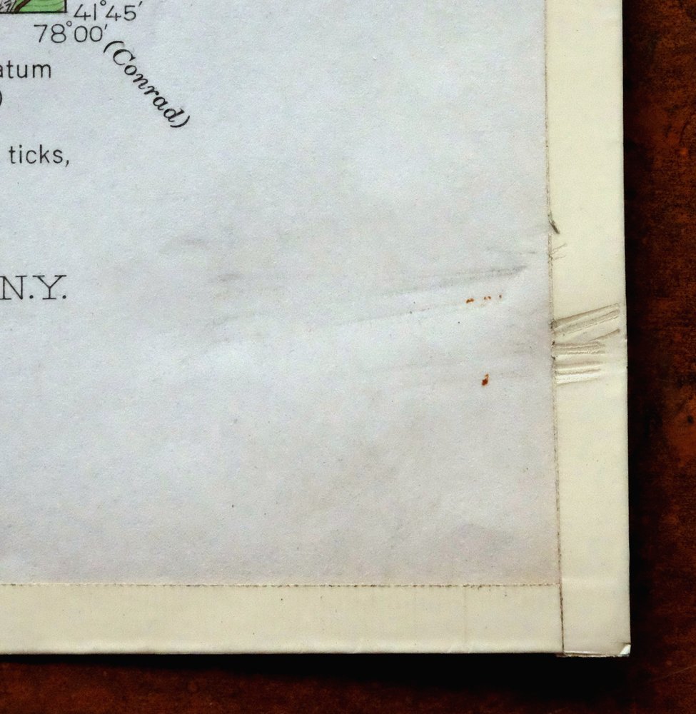
| COLLARS | no markings, minor blemishes, edge protectors applied, no edge tears, library stamp in right collar |
 | |
| MAP COVERAGE Quadrangle extent overlaid on current basemap. | |
| PLACENAMES Depending on map series and survey date, all of the features listed below may not be shown on this map. This list contains features that currently exist or historically existed within the area covered by the map. The list can be used as a reference to determine if this map covers your area of interest. Placenames are listed alphabetically next to each feature type. | |
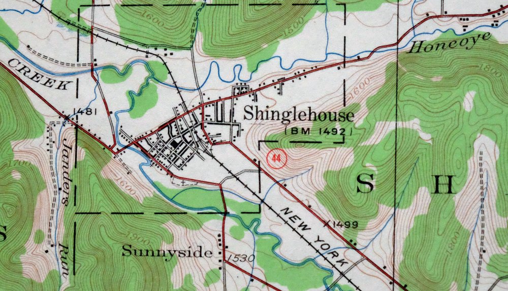
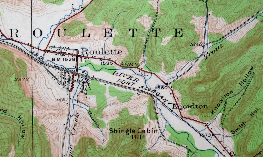
| NOTABLE PLACES | Shinglehouse, Oswayo, and Roulette |
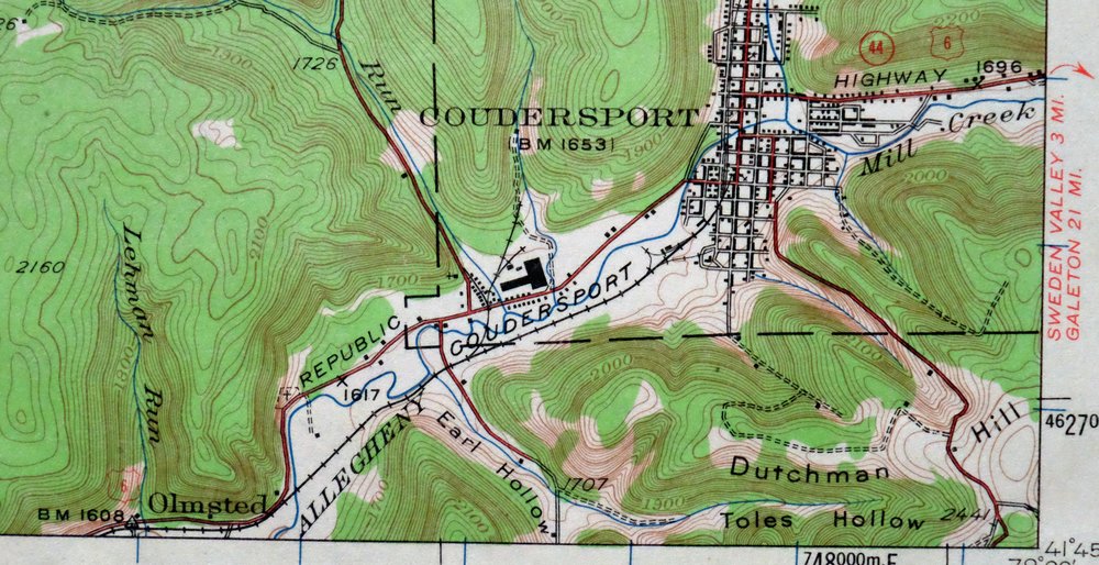
| CITIES AND TOWNS (CURRENT) | Coudersport |
| COUNTIES COVERED | Allegany, McKean, and Potter |
| RIVERS AND STREAMS | Allegheny River, Annin Creek, Baker Creek, Bell Run, Bradley Run, Butter Creek, Canada Run, Card Creek, Chapman Brook, Cow Run, Dingman Run, Dolly Brook, East Branch Fishing Creek, Elevenmile Creek, Fishing Creek, Hemlock Hollow Run, Honeoye Creek, Horse Run, Janders Run, Laninger Creek, Lehman Run, Lillibridge Creek, Little Genesee Creek, Mill Creek, Oswayo Creek, Plank Creek, Reed Run, Sartwell Creek, Shaytown Branch, Sherwood Run, Taylor Brook, Topeka Creek, Twomile Creek, West Branch Dingman Run, and Wildcat Creek |
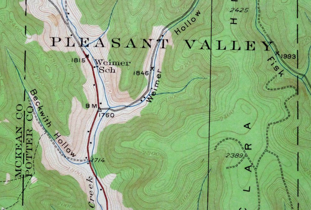
| Pennsylvania Locations: Coudersport Court House Historic Site, Coudersport and Port Allegheny Railroad Historic Site, Lamont, and Williston. Administrative Boundaries: Township of Annin, Township of Ceres, Township of Clara, Borough of Coudersport, Township of Hebron, Township of Liberty, Borough of Oswayo, Township of Pleasant Valley, Township of Roulette, Township of Sharon, and Borough of Shinglehouse. Mountains, Peaks, and Summits: Clara Hill, Crandal Hill, Dutchman Hill, Greenman Hill, Niger Hill, Niles Hill, and Shingle Cabin Hill. Valleys and Canyons: Allard Hollow, Baker Hollow, Beckwith Hollow, Bee Hollow, Benson Hollow, Big Hollow, Blauvelt Hollow, Brizzee Hollow, Brown Hollow, Bryant Hollow, Bunker Hollow, Burch Hollow, Burt Hollow, Castle Hollow, Church Hollow, Coleman Hollow, Collins Hollow, Coon Hollow, Deering Hollow, Dexter Hollow, Doyle Hollow, Dwight Hollow, Earl Hollow, Ernst Hollow, Estes Hollow, Fisk Hollow, Gilmore Hollow, Gleason Hollow, Green Hollow, Grover Hollow, Guy Hollow, Hackett Hollow, Hanson Hollow, Hardes Hollow, Herring Hollow, Hogpen Hollow, Hollenback Hollow, Jordan Hollow, Karr Hollow, Kavanaugh Hollow, Knowlton Hollow, Lawson Hollow, Leman Hollow, Long Hollow, Meacham Hollow, Nichols Hollow, Niles Hollow, Raub Hollow, Reese Hollow, Ross Hollow, Scott Hollow, Seely Hollow, Smith Hollow, Sperl Hollow, Straight Hollow, Toad Hollow, Toles Hollow, Tyler Hollow, Walman Nichlos Hollow, Wapsena Hollow, White Hollow, Wiemer Hollow, Wingard Hollow, and Wokeley Hollow. Parks: State Game Lands Number 204 and State Game Lands Number 59. Drainages: Bradley Run, Card Creek, Baker Creek, Bear Creek, Bell Run, Buck Run, Butter Creek, Canada Run, Chapman Brook, Clara Creek, Coleman Creek, Cow Run, Dingman Run, East Branch Fishing Creek, Elevenmile Creek, Fish Hollow Run, Fishing Creek, Hemlock Hollow Run, Honeoye Creek, Horse Run, Janders Run, Laninger Creek, Mill Creek, Plank Creek, Reed Run, Sartwell Creek, Shaytown Branch, Sherwood Run, South Branch Canada Run, South Branch Oswayo Creek, Steer Run, Taylor Brook, Topeka Creek, Trout Brook, West Branch Dingman Run, West Branch Whitney Creek, Whitney Creek, and Wildcat Creek. Churches: Bell Run Union Church, Fishing Creek Church, Gospel Tabernacle Church, Riverside Church, and Sartwell Creek Church. Airports: Adams Airport and Mountain Springs Heliport. Schools: Card Creek School, Bell Run School, Clara School, Coudersport Area Elementary School, Coudersport Area Junior Senior High School, Cow Run School, Dingman Run School, Fishing Creek School, Horse Run School, Kenyon School, Oswayo Valley Elementary School, Oswayo Valley High School, Smith School, Weimer School, and Wildcat School. Towers: WFRM-AM (Coudersport). Oilfields: Sharon Oil And Gas Field. | |
| New York Valleys and Canyons: Bee Hollow and Scott Hollow. Drainages: Honeoye Creek and Horse Run. | |
| SHIPPING AND RETURNS | |
 Ships carefully rolled in a sturdy 2" x 18" mailing tube. Shipping and return details are in our terms. | |
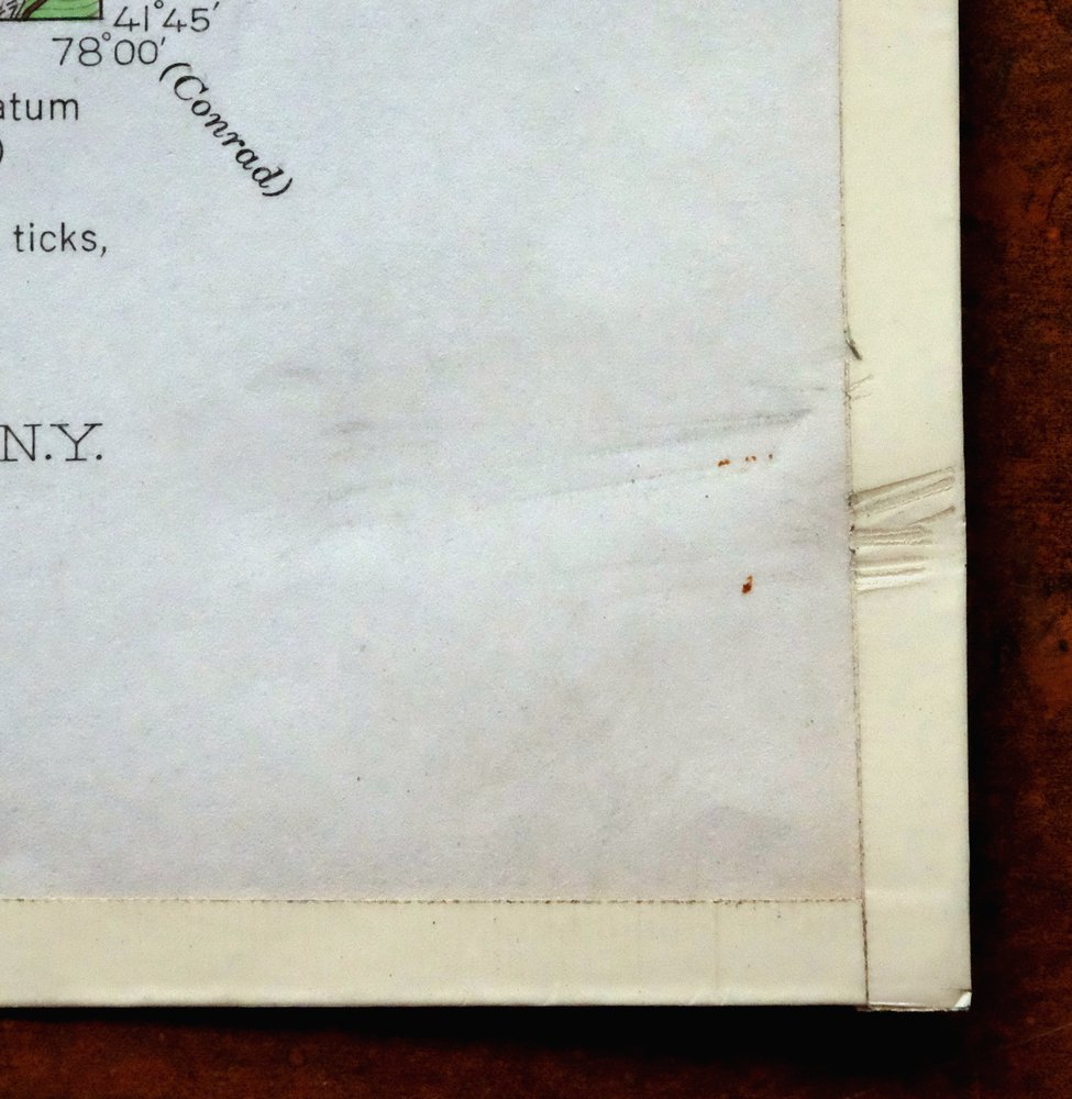
Coudersport, PA/NY 1934 USGS Topo Map (1966 Print)
$27
- 80 miles southeast of Buffalo, NY.
- 15-minute series, 1934 edition, printed in 1966.
- Very good condition, never folded.
In stock
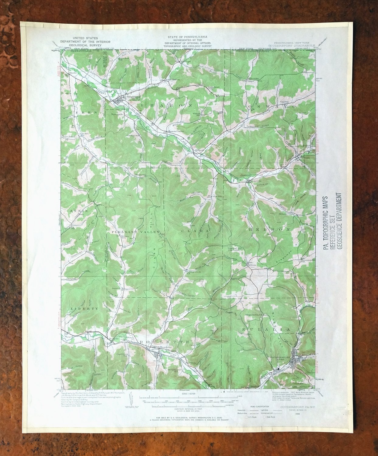
This vintage sheet is a 1934 edition of the Coudersport Pennsylvania USGS topographic map. It is an original 60-year-old 1966 United States Geological Survey print in very good condition.
HOW THIS MAP CAN BE USED
In addition to making a fascinating conversation piece, this sheet would look great in a frame or on display, make a unique and prized gift for anyone interested in this area, be perfect as a reference for genealogy studies or general historical research, or fill that missing piece in your collection. Maps of this vintage are printed on durable stock and are well-suited for outdoor activities and recreation of all kinds, including hiking, backpacking, hunting, rafting and kayaking, backcountry skiing, geocaching, general exploration, treasure hunting, etc.
FEATURES SHOWN ON THE MAP
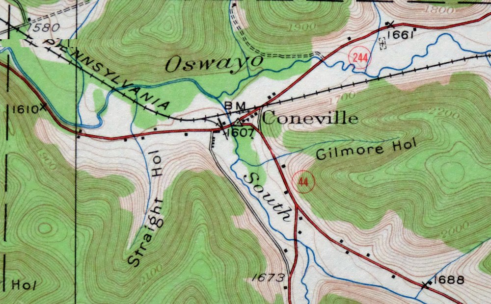
The Coudersport 15-minute map shows cities and towns, roads, railroads, utilities and energy infrastructure, rivers, creeks, elevation contour lines, public land survey lines, county, state, and other administrative boundaries as they existed at the time of the survey in 1933 and 1934. All known structures (houses, businesses, churches, schools, barns, cabins, etc) are also shown, with exceptions in some urban areas, where only landmark buildings may be shown.
A VALUABLE HISTORICAL RECORD
Maps from the 15-minute series for the continental United States are no longer produced or printed by the USGS and original prints are becoming increasingly difficult to find. They are a valuable historical record for an area, as they contain many placenames and features that have been dropped from more recent maps.
Nearby maps
-
Smethport, PA/NY 1933 USGS Topo Map (1960 Print)
$37 Add to cart -
Olean, New York 1898 USGS Topo Map: Cuba (15-minute Series)
$66 Add to cart -

Conrad, Pennsylvania 1947 USGS Topo Map
$29 Add to cart -

Crosby, Norwich, Pennsylvania 1948 USGS Topo Map
$30 Add to cart -
Mount Jewett, Pennsylvania 1935 USGS Topo Map (1965 Print)
$35 Add to cart -

Driftwood, Sinnamahoning, Pennsylvania 1945 USGS Topo Map
$27 Add to cart -
Canaseraga, Alfred, New York 1916 USGS Topo Map
$67 Add to cart -
Renovo West, Pennsylvania 1946 USGS Topo Map (1965 Print)
$33 Add to cart -

Elkland, Wellsboro, Pennsylvania/New York 1903 USGS Topo Map
$65 Add to cart -
Kinzua, PA/NY 1949 USGS Topo Map (1967 Print)
$38 Add to cart -
Elkland, PA/NY 1900 USGS Topo Map (1944 Print)
$42 Add to cart -

Tioga, Pennsylvania/New York 1903 USGS Topo Map: Mansfield
$64 Add to cart -

Bath, Avoca, New York 1910 USGS Topo Map (Antique Print)
$62 Add to cart -
Portage, Warsaw, New York 1905 USGS Topo Map (Rare Print)
$87 Add to cart -
Nunda, New York 1905 USGS Topo Map: Mount Morris
$77 Add to cart -
Jamestown, Falconer, New York 1905 USGS Topo Map
$71 Add to cart -
Wayland, Hemlock Lake, New York 1904 USGS Topo Map
$77 Add to cart -
Naples, New York 1903 USGS Topo Map
$77 Add to cart -
1942 USGS Topo Map: Canton, Pennsylvania (1965 Print)
$37 Add to cart -
1960 USGS Topo Map: Snow Shoe NW, Sproul SF, Pennsylvania
$31 Add to cart -
1960 USGS Topo Map: Snow Shoe, Clarence, Pennsylvania
$29 Add to cart -
1960 USGS Topo Map: Snow Shoe SE, Orviston, Pennsylvania
$33 Add to cart -
Batavia, Le Roy, New York 1904 USGS Topo Map (Antique Print)
$67 Add to cart -

Philipsburg, Pennsylvania 1939 USGS Topo Map (1964 Print)
$29 Add to cart
