MAP DETAILS | |
|---|---|
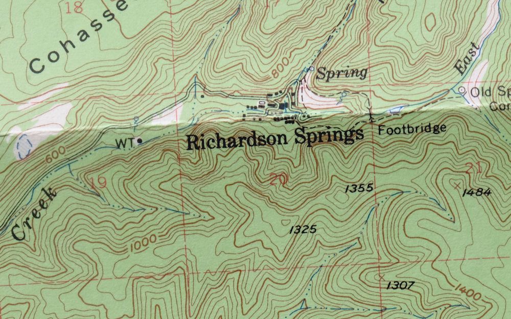
| TITLE | Richardson Springs |
| STATE | California |
| SURVEYED | 1947 through 1952 Aerial and Field Survey |
| PRINT NOTES | Thick paper stock, includes woodland tint (green to indicate vegetated areas) |
| SCALE | 1:62500 |
| CONTOUR INTERVAL | 40 feet |
| SHEET DIMENSIONS | 17 x 21 inches |
| MAP DIMENSIONS | 13 3/8 x 17 1/2 inches |
| COVERAGE AREA | 13 x 17 miles |
| SOURCE | From the vintage map collection of Richard Dahlke, Santa Barbara, California |
| SHEET CONDITION For maps of this vintage, effort is made to note all visible flaws, no matter how minor. | |
| SHEET NOTES | lightly handled, has foldlines |
| MAP AREA | no markings, no blemishes |
| COLLARS | no wear or tears, no markings, no blemishes, library stamp in bottom collar |
| MAP COVERAGE Quadrangle extent overlaid on current basemap. | |
| PLACENAMES Depending on map series and survey date, all of the features listed below may not be shown on this map. This list contains features that currently exist or historically existed within the area covered by the map. The list can be used as a reference to determine if this map covers your area of interest. Placenames are listed alphabetically next to each feature type. | |
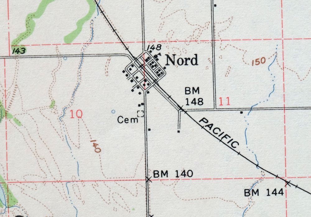
| NOTABLE PLACES | Chico and Nord |
| COUNTIES COVERED | Butte, Glenn, and Tehama |
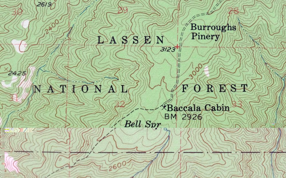
| FEDERAL LAND UNITS | Lassen National Forest and Sacramento River National Wildlife Refuge |
| RIVERS AND STREAMS | Big Chico Creek, Brush Creek, Campbell Creek, Cave Creek, Dead Horse Slough, Deer Creek, Dicus Slough, East Branch Mud Creek, Harbean Slough, Hoag Slough, Keefer Slough, Kusal Slough, Mud Creek, North Fork Rattlesnake Creek, North Fork Singer Creek, Pine Creek, Rattlesnake Creek, Rock Creek, Sacramento River, Singer Creek, South Fork Rattlesnake Creek, South Fork Singer Creek, Sycamore Creek, West Fork Rock Creek, and Zimmershed Creek |
| WATER BODIES | Horseshoe Lake and Vandergrift Lake |
| Locations: Baccala Cabin, Bell Ranch, Bidwell Municipal Golf Course, Canyon Oaks Golf Course, Four Corners, Franks Cabin, Hooker Oak, McKenzie Ranch, Old Spanish Corral, and Stephens Ranch. Administrative Boundaries: Arroyo Chico. Mountains, Peaks, and Summits: Campbell Mound and Sugarloaf Mountain. Valleys and Canyons: Cabin Hollow, Iron Canyon, Juniper Gulch, Negro Gulch, and Sheep Hollow. Woods: Burroughs Pinery. Parks: Bidwell Park, Bidwell River Park, and Irving Finch River Access. Trails: Campbellville Trail, Deer Creek Flat Trail, and Pine Creek Trail. Drainages: Anderson Fork, Brush Creek, Campbell Creek, Cave Creek, Harbean Slough, Keefer Slough, Maple Branch, Middle Fork Brush Creek, North Fork Rattlesnake Creek, North Fork Singer Creek, Rattlesnake Creek, Rock Creek, Singer Creek, South Fork Rattlesnake Creek, South Fork Singer Creek, Sycamore Creek, West Fork Brush Creek, West Fork Rock Creek, and Zimmershed Creek. Hospitals: Chico Community Hospital. Lakes and Ponds: Horseshoe Lake and Vandergrift Lake. Buildings: Bell Cabin. Bluffs: Steamboat Point. Canals: Cone Kimball Ditch and Deer Creek Irrigation Ditch. Bridges: Gianella Bridge. Basins: Barn Hollow. Airports: Chico Municipal Airport and Deer Creek Ranch Airport. Schools: Bidwell Junior High School, Jay E Partridge Elementary School, John A McManus Elementary School, Live Oak School, Loma Vista School, Marigold Elementary School, Nord Elementary School, Pleasant Valley Senior High School, Seventh Day Adventist School, Shasta Union School, and Sierra View Elementary School. Ridges: Cohasset Ridge and Keefer Ridge. Springs: Bell Spring, Cohasset Pioneers Spring, Negro Spring, and Root Spring. | |
| SHIPPING AND RETURNS | |
 Ships carefully rolled in a sturdy 2" x 18" mailing tube. Shipping and return details are in our terms. | |
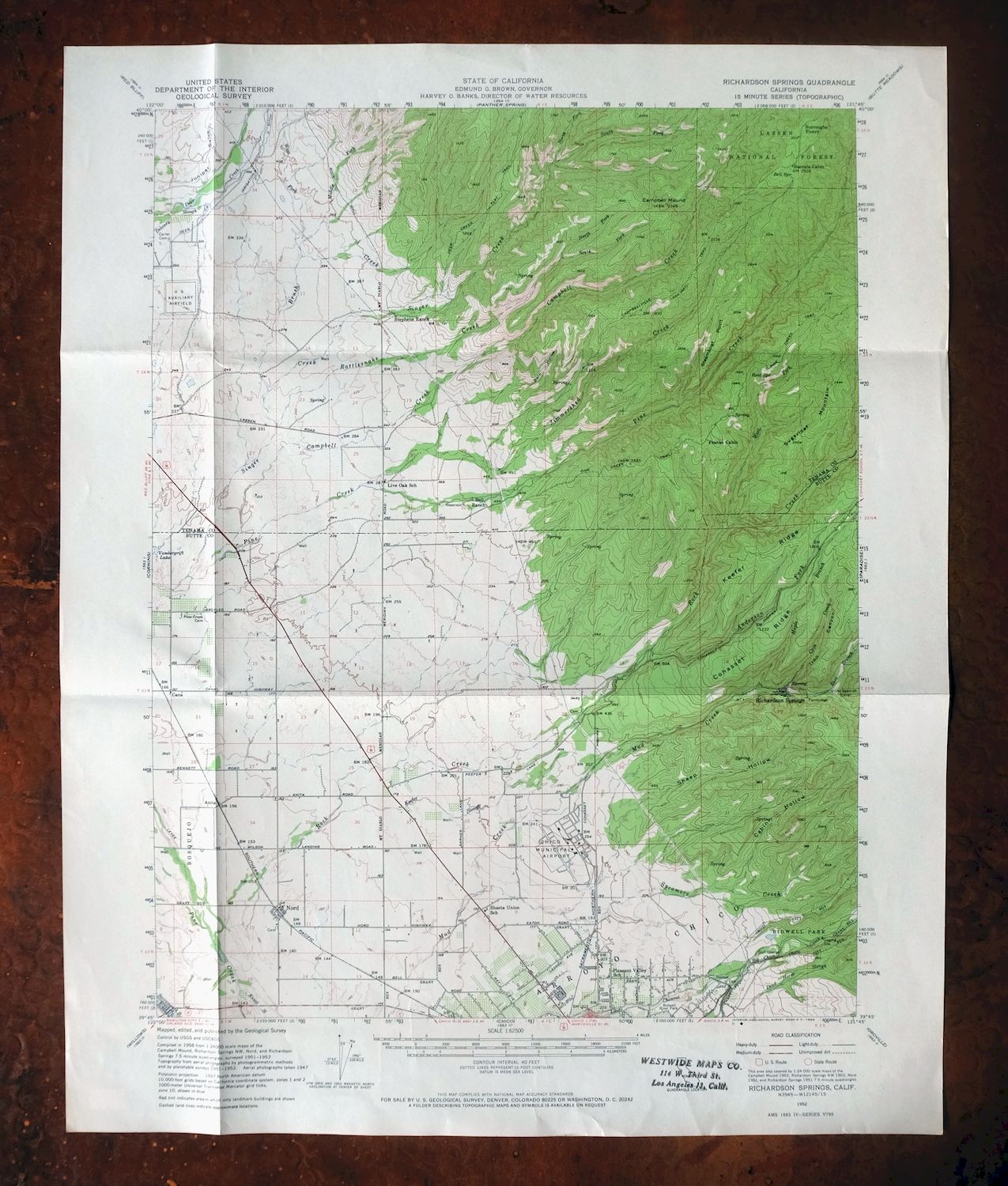
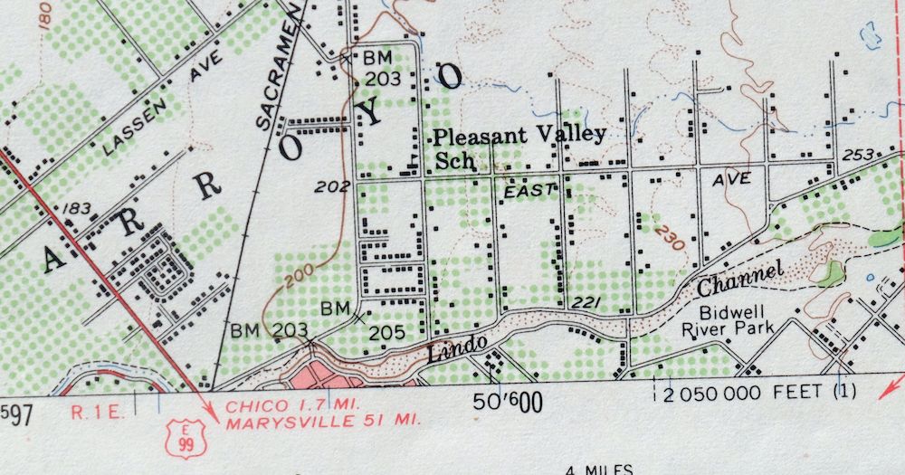
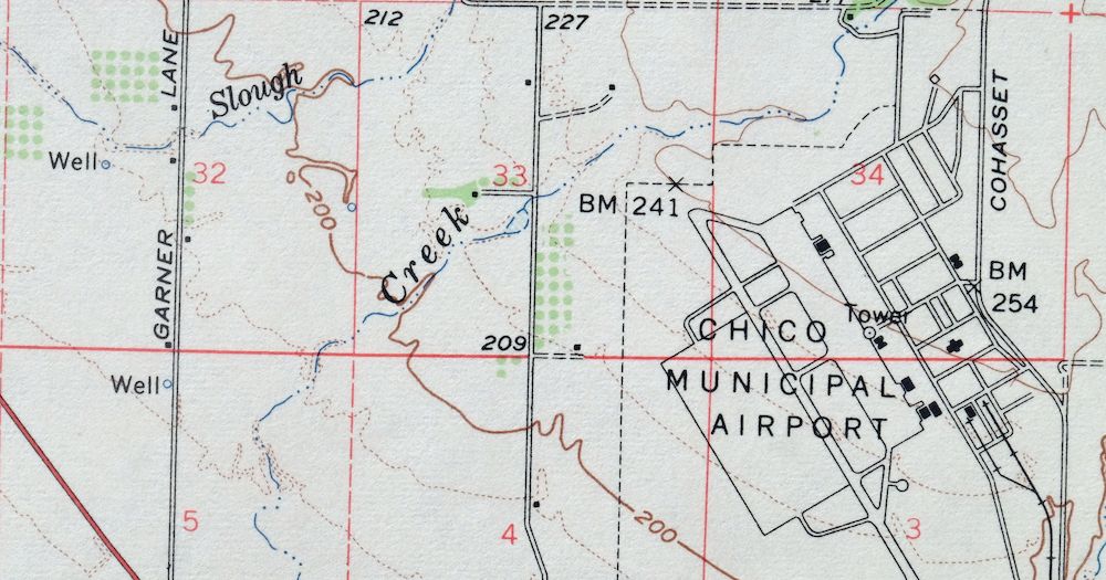

Richardson Springs, California 1952 USGS Topo Map: Chico
$30
- Vicinity of Chico.
- 15-minute series, 1952 edition, printed in 1966.
- Good condition.
In stock
This vintage sheet is a 1952 edition of the Richardson Springs California USGS topographic map. It is an original 60-year-old 1966 United States Geological Survey print in good condition.
HOW THIS MAP CAN BE USED
In addition to making a fascinating conversation piece, this sheet would look great in a frame or on display, make a unique and prized gift for anyone interested in this area, be perfect as a reference for genealogy studies or general historical research, or fill that missing piece in your collection. Maps of this vintage are printed on durable stock and are well-suited for outdoor activities and recreation of all kinds, including hiking, backpacking, hunting, rafting and kayaking, backcountry skiing, geocaching, general exploration, treasure hunting, etc.
FEATURES SHOWN ON THE MAP
The Richardson Springs 15-minute map shows cities and towns, roads, railroads, utilities and energy infrastructure, rivers, creeks, elevation contour lines, public land survey lines, county, state, and other administrative boundaries as they existed at the time of the survey in 1947 through 1952. All known structures (houses, businesses, churches, schools, barns, cabins, etc) are also shown.
A VALUABLE HISTORICAL RECORD
Maps from the 15-minute series for the continental United States are no longer produced or printed by the USGS and original prints are becoming increasingly difficult to find. They are a valuable historical record for an area, as they contain many placenames and features that have been dropped from more recent maps.
Nearby maps
-
Chico, California 1949 USGS Topo Map (1968 Print)
$36 Add to cart -
Panther Spring, Lassen NF, California 1953 USGS Topo Map
$35 Add to cart -
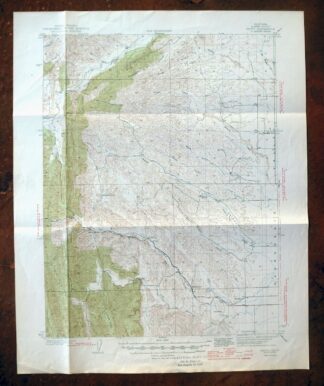
Fruto, Stony Creek, California 1944 USGS Topo Map
$25 Add to cart -
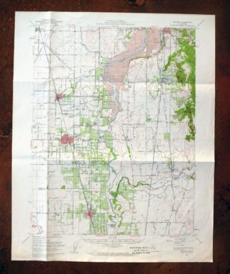
Gridley, South Oroville, California 1952 USGS Topo Map
$32 Add to cart -
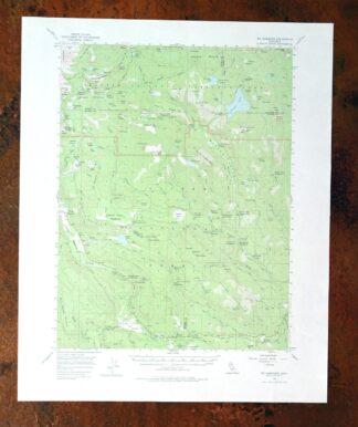
Mount Harkness, California 1956 USGS Topo Map (1978 Print)
$35 Add to cart -
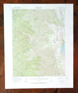
Stonyford, California 1951 USGS Topo Map: Fouts Springs
$38 Add to cart -
Manzanita Lake, California 1956 USGS Topo Map (1974 Print)
$38 Add to cart -
Westwood, California 1955 USGS Topo Map: Coppervale
$37 Add to cart -
Clearlake Oaks, California 1960 USGS Topo Map
$35 Add to cart -
Lamoine, Shasta Lake, California 1957 USGS Topo Map
$41 Add to cart -
Lakeport, California 1958 USGS Topo Map (1977 Print)
$45 Add to cart -
Susanville, California 1954 USGS Topo Map: Lake leavitt
$35 Add to cart -
Milford, California 1950 USGS Topo Map: Honey Lake
$39 Add to cart -
Sierraville, California 1955 USGS Topo Map: Calpine
$41 Add to cart -
Fredonyer Peak, California 1954 USGS Topo Map (1972 Print)
$27 Add to cart -
Litchfield, California 1954 USGS Topo Map (1972 Print)
$39 Add to cart -
1950 USGS Topo Map: Chilcoot, California/Nevada (1983 Print)
$39 Add to cart -
Loyalton, California/Nevada 1955 USGS Topo Map (1980 Print)
$41 Add to cart -
1951 USGS Topo Map: Helena, California
$29 Add to cart -
Glenblair, CA 1943 Military Army Corp of Engineers Topo Map
$33 Add to cart -
Shasta, California 1954 USGS Topo Map: McCloud
$35 Add to cart -
Mount Vaca, Fairfield, California 1951 USGS Topo Map
$40 Add to cart -
Piercy, California 1950 USGS Topo Map (1971 Print)
$32 Add to cart -
Reno, Nevada 1950 USGS Topo Map: Toiyabe NF (1972 Print)
$18 Add to cart
