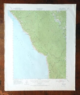
MAP DETAILS | |
|---|---|
| TITLE | Piercy |
| STATE | California |
| LOCATION | 15 miles south of Redway |
| SERIES | 15-minute |
| SURVEYED | 1948 and 1950 Aerial and Field Survey |
| EDITION | 1950 |
| PRINTED | 1971 |
| PRINT NOTES | Thick paper stock, includes woodland tint (green to indicate vegetated areas) |
| SCALE | 1:62500 |
| CONTOUR INTERVAL | 50 feet |
| SHEET DIMENSIONS | 18 x 22 inches |
| MAP DIMENSIONS | 13 3/8 x 17 1/2 inches |
| COVERAGE AREA | 13 x 17 miles |
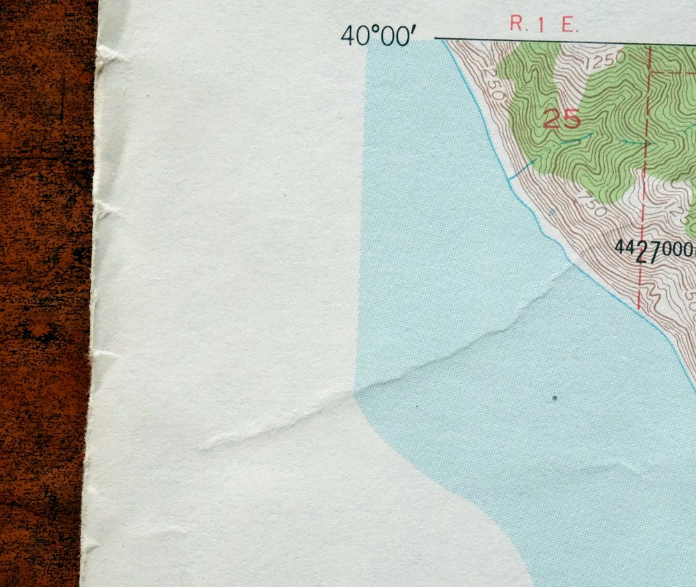
| SHEET CONDITION For maps of this vintage, effort is made to note all visible flaws, no matter how minor. | |
| OVERALL CONDITION | Good |
| SHEET NOTES | lightly handled, never folded |
| MAP AREA | no markings, no blemishes |
| COLLARS | minor wear or tears, no markings, no blemishes |
 | |
| MAP COVERAGE Quadrangle extent overlaid on current basemap. | |
| PLACENAMES Depending on map series and survey date, all of the features listed below may not be shown on this map. This list contains features that currently exist or historically existed within the area covered by the map. The list can be used as a reference to determine if this map covers your area of interest. Placenames are listed alphabetically next to each feature type. | |
| CITIES AND TOWNS (CURRENT) | Piercy |
| COUNTIES COVERED | Mendocino |
| FEDERAL LAND UNITS | California Coastal National Monument and King Range National Conservation Area |
| RIVERS AND STREAMS | Anderson Creek, Bear Creek, Bear Pen Creek, Bridges Creek, Chimney Rock Creek, Cottaneva Creek, Couborn Creek, Dora Creek, Dunn Creek, East Branch North Fork Jackass Creek, Flat Rock Creek, Hollow Tree Creek, Indian Creek, Jackass Creek, Jones Creek, Julias Creek, Little Bear Creek, Little Jackass Creek, Low Gap Creek, Mattole River, McCoy Creek, Middle Creek, Middle Fork Cottaneva Creek, Mill Creek, Moody Creek, Mule Creek, North Fork Cottaneva Creek, North Fork Jackass Creek, North Fork McCoy Creek, Parker Creek, Piercy Creek, Rancheria Creek, Red Mountain Creek, Redwood Creek, Sebbas Creek, Soldier Creek, South Fork Eel River, South Fork Mule Creek, South Fork Redwood Creek, South Fork Usal Creek, Standley Creek, Thompson Creek, Usal Creek, and Wildcat Creek |
| Populated Place: Kenny, Wheeler, Andersonia, Hales Grove, and Piercy. Locations: Bear Harbor Ranch, Bear Landing, DeVilbiss Ranch, Medcalf Ranch, Moody, Reynolds State Wayside Campground, Usal, Bear Harbor Camp, Jones Beach Camp, Little Jackass Creek Camp, Low Gap Camp, Needle Rock Camp, Orchard Camp, Railroad Camp, Rice Ranch, Streamside Camp, Usal Campground, and Wheeler Camp. Reserves: Sinkyone State Wilderness. Mountains, Peaks, and Summits: High Tip, Soldier Frank Hill, and Chimney Rock. Valleys and Canyons: Anderson Gulch, Dark Gulch, Hotel Gulch, Northport Gulch, Shady Dell, Waterfall Gulch, Whale Gulch, and Duffys Gulch. Woods: Frank and Bess Smithe Redwood Grove, Sally Bell Grove, and School Marm Grove. Parks: Honky Tonk Picnic Area and Sinkyone Wilderness State Park. Drainages: Anderson Creek, Bear Creek, Bear Pen Creek, Bridges Creek, Chimney Rock Creek, Couborn Creek, Cub Creek, Dora Creek, Dunn Creek, East Branch North Fork Jackass Creek, Flat Rock Creek, Indian Creek, Jackass Creek, Jones Creek, Julias Creek, Little Bear Creek, Little Jackass Creek, Low Gap Creek, McCoy Creek, Middle Creek, Middle Fork Cottaneva Creek, Moody Creek, Mule Creek, North Fork Cottaneva Creek, North Fork Jackass Creek, North Fork McCoy Creek, Parker Creek, Piercy Creek, Red Mountain Creek, Redwood Creek, Sebbas Creek, Soldier Creek, South Fork Mule Creek, South Fork Redwood Creek, South Fork Usal Creek, Standley Creek, Thompson Creek, Usal Creek, and Wildcat Creek. Islands: Big White Rock, Cluster Cone Rocks, Double Cone Rock, Double Rock, Jackass Cone, Middle Rock, North Rock, Sea Lion Rock, Seal Rocks, Shoreline Rock, and Usal Rock. Capes: Mistake Point, Soldier Frank Point, Timber Point, and Williams Point. Churches: Our Lady of the Redwoods Abbey. Buildings: Needle Rock Visitors Center, Piercy Fire Protection District, and Whale Gulch Volunteer Fire Department. Bluffs: Anderson Cliff and Point No Pass. Bays: Bear Harbor. Bars: Duffys Reef. Natural Arches: Morgan Rock and Needle Rock. Schools: Whale Gulch Elementary School. Ridges: Jackass Ridge and Timber Ridge. Flats: Dugans Opening and Dutchmans Flat. Pillars: Jackson Pinnacle. Cemetery: Minnie Stoddard Lilley Gravesite. | |
| SHIPPING AND RETURNS | |
 This map sheet will be carefully rolled in a sturdy tube and shipped via the US Postal Service. If you find that the sheet you receive is not as described in the listing, you may ship it back to us for a refund of the purchase price. | |
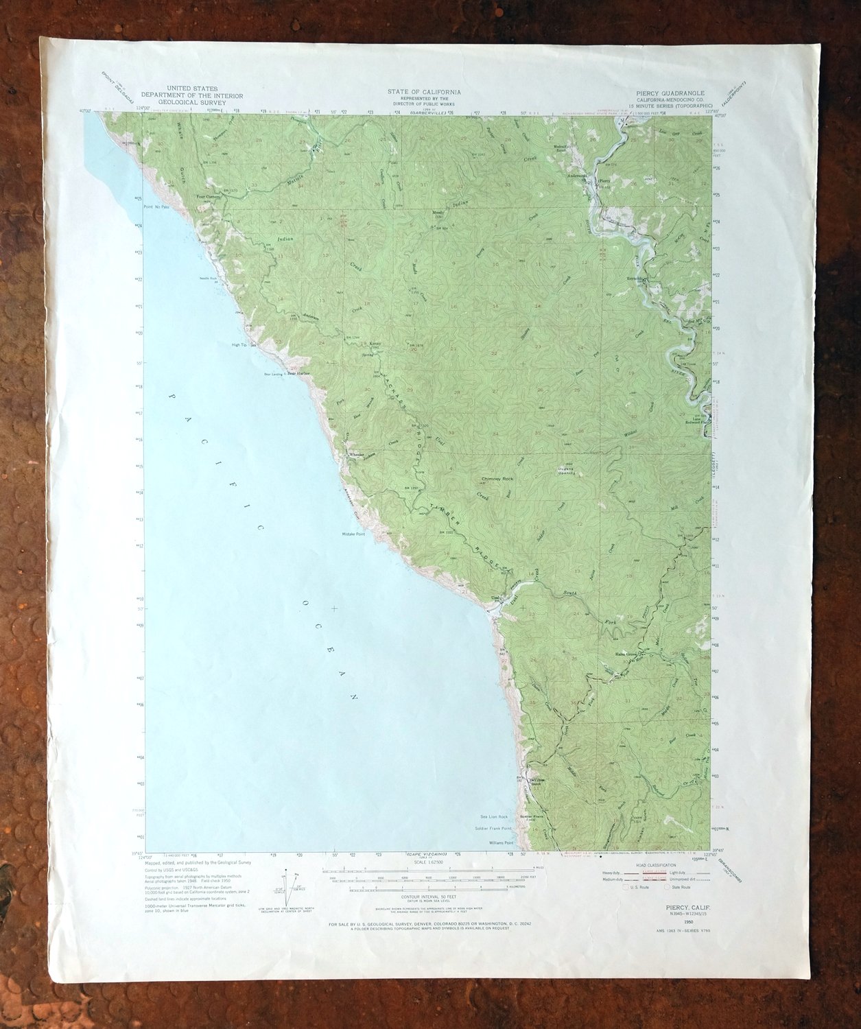

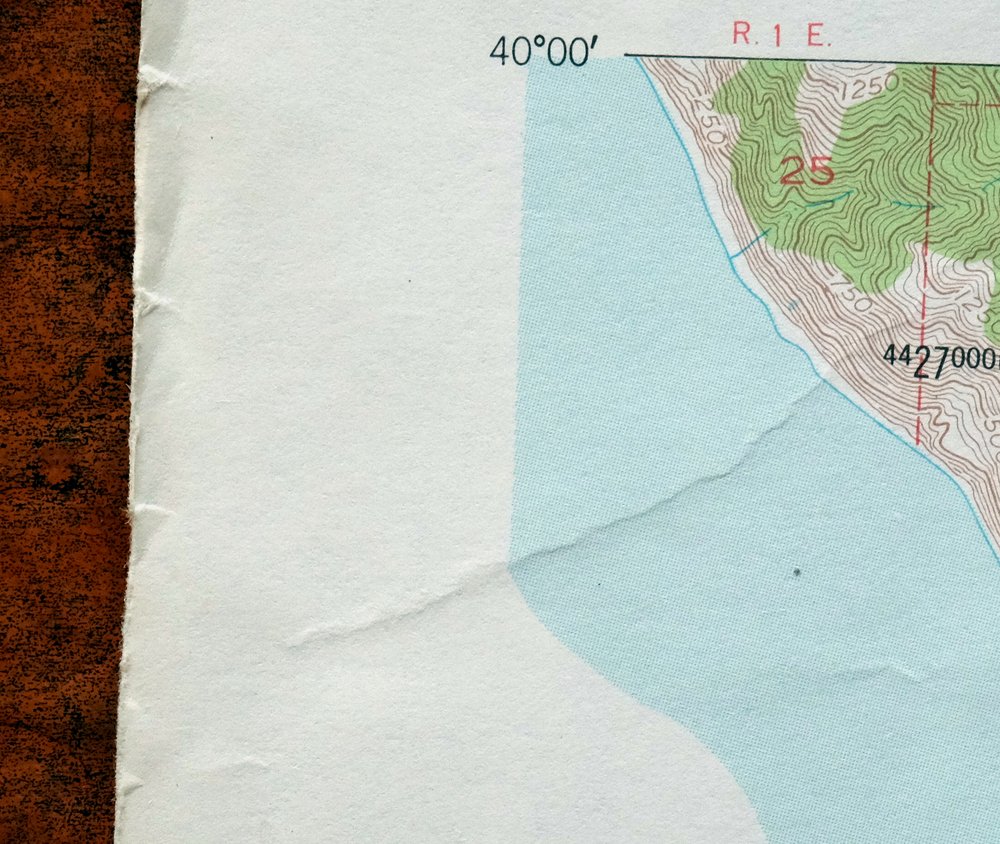
Piercy California USGS 15-Min Topographic Map 1971 Vintage
$33
First published in 1950 and printed in 1971, this USGS 15-minute topographic sheet is in good condition, lightly handled and never folded on thick stock. The quad sits in northern Mendocino County about 15 miles south of Redway, taking in the community of Piercy along the upper reaches of the Eel River drainage in California’s redwood country. Based on aerial and field survey from 1948 and 1950, the map shows this rugged inland stretch of the North Coast at a 50-foot contour interval, and having never been folded it lies flat for framing.
In stock
This vintage sheet is a 1950 edition of the Piercy California USGS topographic map. It is an original 55-year-old 1971 United States Geological Survey print in good condition.
HOW THIS MAP CAN BE USED
In addition to making a fascinating conversation piece, this sheet would look great in a frame or on display, make a unique and prized gift for anyone interested in this area, be perfect as a reference for genealogy studies or general historical research, or fill that missing piece in your collection. Maps of this vintage are printed on durable stock and are well-suited for outdoor activities and recreation of all kinds, including hiking, backpacking, hunting, rafting and kayaking, backcountry skiing, geocaching, general exploration, treasure hunting, etc.
FEATURES SHOWN ON THE MAP
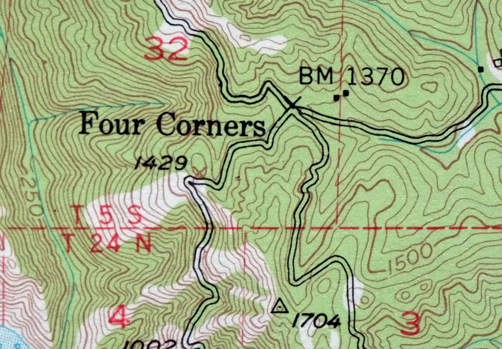
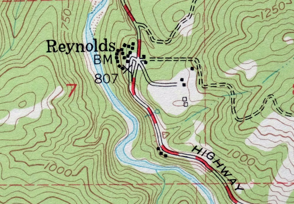
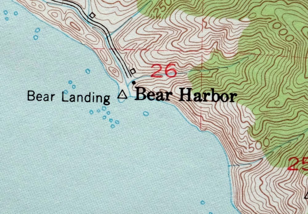
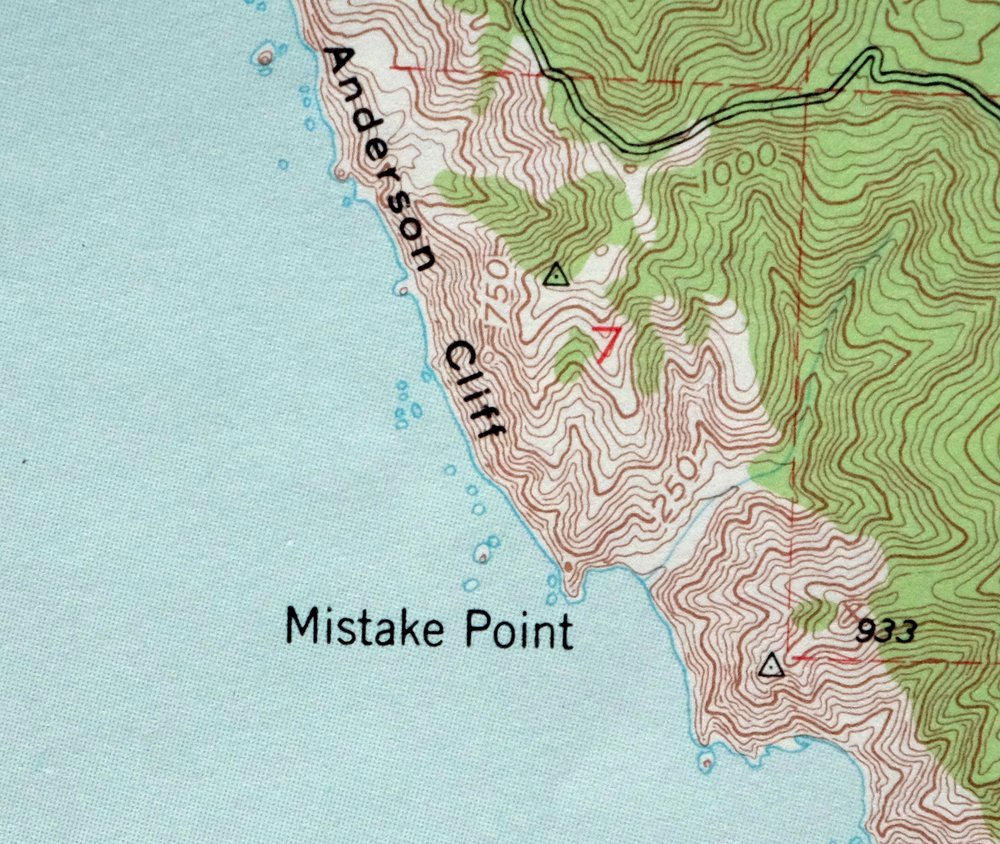
The Piercy 15-minute map shows cities and towns, roads, railroads, utilities and energy infrastructure, rivers, creeks, elevation contour lines, public land survey lines, county, state, and other administrative boundaries as they existed at the time of the survey in 1948 and 1950. All known structures (houses, businesses, churches, schools, barns, cabins, etc) are also shown.
A VALUABLE HISTORICAL RECORD
Maps from the 15-minute series for the continental United States are no longer produced or printed by the USGS and original prints are becoming increasingly difficult to find. They are a valuable historical record for an area, as they contain many placenames and features that have been dropped from more recent maps.
Nearby maps
-
Lakeport California Lucerne Nice USGS Topo Map 1977 Vintage
$44 Add to cart -
Stonyford California USGS 15-Min Topo Map 1967 Vintage
$39 Add to cart -
Fruto California Stony Creek Nye Creek USGS Topo Map 1944
$30 Add to cart -
Lamoine California Shasta Lake USGS Topo Map 1974 Vintage
$40 Add to cart -

Richardson Springs California Chico Nord USGS Topo Map 1966
$35 Add to cart -
Panther Spring California USGS 15-Min Topo Map 1970 Vintage
$36 Add to cart -
Gridley California Oroville Live Oak USGS Topo Map 1959
$37 Add to cart -
Manzanita Lake California Viola USGS Topo Map 1974 Vintage
$39 Add to cart -
Shasta California McCloud USGS 15-Min Topo Map 1968 Vintage
$40 Add to cart -

Preston Peak California Klamath NF USGS 15-Min Topo Map 1962
$28 Add to cart -
Mount Vaca California Fairfield Vacaville USGS Topo Map 1967
$40 Add to cart -
Petaluma Point California Novato USGS Topographic Map 1951
$30 Add to cart -

San Rafael California Mill Valley Tiburon USGS Topo Map 1966
$60 Add to cart -
San Quentin California Richmond Tiburon USGS Topo Map 1980
$46 Add to cart -
Port Chicago California Concord Martinez USGS Topo Map 1956
$38 Add to cart -
Point Bonita California Sausalito USGS Topographic Map 1955
$44 Add to cart -
Pittsburg California Concord Fairfield USGS Topo Map 1965
$38 Add to cart -
Westwood California USGS 15-Min Topographic Map 1961 Vintage
$38 Add to cart -
San Francisco South California USGS 7.5-Min Topo Map 1975
$47 Add to cart -
Hunters Point California Oakland USGS Topographic Map 1969
$38 Add to cart -
Dorris California Mount Hebron USGS Topo Map 1965 Vintage
$19 Add to cart -
Susanville California Janesville USGS Topo Map 1966 Vintage
$39 Add to cart -
Fredonyer Peak California USGS 15-Min Topo Map 1972 Vintage
$40 Add to cart -

Redwood Point California Fremont Hayward USGS Topo Map 1948
$24 Add to cart