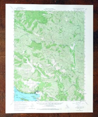
MAP DETAILS | |
|---|---|
| TITLE | Clearlake Oaks |
| STATE | California |
| SURVEYED | 1957 through 1960 Aerial and Field Survey |
| PRINT NOTES | Thick paper stock, includes woodland tint (green to indicate vegetated areas) |
| SCALE | 1:62500 |
| CONTOUR INTERVAL | 80 feet |
| SHEET DIMENSIONS | 17 x 21 inches |
| MAP DIMENSIONS | 13 5/8 x 17 1/2 inches |
| COVERAGE AREA | 13 x 17 miles |
| SHEET CONDITION For maps of this vintage, effort is made to note all visible flaws, no matter how minor. | |
| SHEET NOTES | very lightly handled, never folded, smooth and flat |
| MAP AREA | flawless map area |
| COLLARS | no wear or tears, no markings, no blemishes |
| MAP COVERAGE Quadrangle extent overlaid on current basemap. | |
| PLACENAMES Depending on map series and survey date, all of the features listed below may not be shown on this map. This list contains features that currently exist or historically existed within the area covered by the map. The list can be used as a reference to determine if this map covers your area of interest. Placenames are listed alphabetically next to each feature type. | |
| NOTABLE PLACES | Little Indian Valley, Spring Valley, and Pacific Ridge |
| CITIES AND TOWNS (CURRENT) | Clearlake Oaks and Lucerne |
| COUNTIES COVERED | Colusa and Lake |
| FEDERAL LAND UNITS | Mendocino National Forest, Rocky Creek/Cache Creek Wilderness Study Area, and Sulphur Bank Rancheria |
| RIVERS AND STREAMS | Bartlett Creek, Dead Shot Creek, Grapevine Creek, Grizzly Creek, Hog Hollow Creek, Hospital Creek, Indian Creek, Kilpepper Creek, Ladybug Creek, Long Valley Creek, Middle Fork Mill Creek, Mill Creek, North Fork Bartlett Creek, North Fork Cache Creek, North Fork Mill Creek, North Fork Wolf Creek, Perrington Creek, Rice Fork, Root Creek, Schindler Creek, Soap Creek, South Fork Bartlett Creek, South Fork Long Valley Creek, South Fork Mill Creek, South Fork Wolf Creek, Spanish Creek, Sweet Hollow Creek, Trout Creek, Wolf Creek, and Wyman Creek |
| WATER BODIES | Clear Lake and Indian Valley Reservoir |
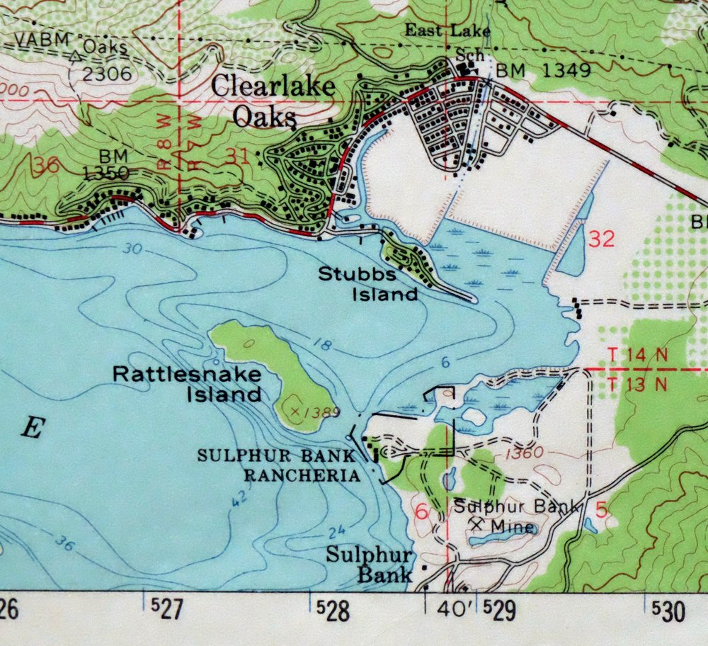
| Populated Place: Bartlett Springs, Hough Springs, Newman Springs, Pole Garden, Clear Lake Keys, Clearlake Oaks, and Glenhaven. Locations: Bartlett Flat Forest Service Facility, Blue Oak Recreation Site, Garner Ranch, Kennedy Ranch, Kowalski Ranch, Kowalski Spring Recreation Site, Love Lady Ranch, Pacific Ridge Forest Service Station, Wilson Recreation Site, Butler Ranch, Green Flat Camp, Schindler Ranch, and Shaw Ranch. Administrative Boundaries: Sulphur Bank Rancheria and Lucerne-Clearlake Oaks Division. Mountains, Peaks, and Summits: Chalk Mountain, Chocolate Peak, Evans Peak, Pacific Point, Pine Mountain, Red Rocks, Reister Knoll, Reister Rock, Ruppert Point, Split Rock, Stony Top, and Round Mountain. Valleys and Canyons: Bald Hill Canyon, Bean Canyon, Benmore Canyon, Blodgett Canyon, Box Canyon, Cold Canyon, Cold Spring Canyon, Complexion Canyon, Davis Canyon, Doe Canyon, Franklin Canyon, Fuller Canyon, Hells Canyon, High Valley, Kattenburg Canyon, Long Canyon, Long Valley, Panther Canyon, Paradise Canyon, Quartz Canyon, Reister Canyon, Rose Canyon, Salt Canyon, Salt Lick Canyon, Sulphur Canyon, Wilson Glade Canyon, and Zimory Canyon. Parks: Berryessa Snow Mountain National Monument. Drainages: Bartlett Creek, Cold Creek, Dead Shot Creek, East Fork Spanish Creek, Grapevine Creek, Hog Hollow Creek, Hospital Creek, Kilpepper Creek, Ladybug Creek, Long Valley Creek, Middle Fork Mill Creek, North Fork Bartlett Creek, North Fork Mill Creek, North Fork Wolf Creek, Perrington Creek, Root Creek, Schindler Creek, Soap Creek, South Fork Bartlett Creek, South Fork Long Valley Creek, South Fork Mill Creek, South Fork Wolf Creek, Spanish Creek, Stanton Creek, Sweet Hollow Creek, Twin Valley Creek, West Fork Spanish Creek, Wolf Creek, and Wyman Creek. Islands: Anderson Island, Fruit Island, Rattlesnake Island, Stubbs Island, and Weekend Island. Capes: Buckingham Point and Sulphur Bank Point. Mines: Sulphur Bank Mine and Clear Lake Quarry. Churches: Saint Anthonys Catholic Church. Post Office: Clearlake Oaks Post Office and Glenhaven Post Office. Lakes and Ponds: Tule Pond. Buildings: California Department of Forestry and Fire Protection Clearlake Oaks Station, Lakeshore Fire Protection Fire Station 73, Northshore Fire Protection District Station 75 Clearlake Oaks, Northshore Fire Protection District Station 76 Glenhaven, and Northshore Fire Protection District Station 77 Spring Valley. Dams: Indian Valley 1080-002 Dam and Spring Valley 396 Dam. Bluffs: Pine Needle Point. Bridges: Reister Bridge. Beaches: Indian Beach. Bays: Honeymoon Cove and Paradise Cove. Basins: Corral Valley. Census: Clearlake Oaks Census Designated Place and Spring Valley Census Designated Place. Schools: East Lake Elementary School. Ridges: Gold Point, Hough Ridge, Indian Ridge, Lone Pine Ridge, Lovelady Ridge, Pacific Ridge, Red Ridge, Rocky Ridge, Ruppert Ridge, Soapstone Ridge, Spanish Ridge, and Wolf Creek Ridge. Reservoirs and Tanks: Indian Valley Reservoir. Flats: Bartlett Flat, Bean Glade, Davis Flat, East Glade, Evans Glade, Horse Hollow, Johnson Glades, Kanaka Glade, Root Glades, Springer Flat, Stanton Glade, Stove Glade, Tule Glade, White Ranch Glades, Wilson Glade, Wyley Glade, and Wyman Flat. Pillars: Goat Rock, Horse Rock, and Summit Rock. Springs: Able Spring, Addington Springs, Allen Springs, Bear Wallow Spring, Complexion Spring, Cross Spring, Dead Shot Spring, Ellen Spring, Ford Spring, Gas Spring, Jesse Spring, and Royal Spring. | |
| SHIPPING AND RETURNS | |
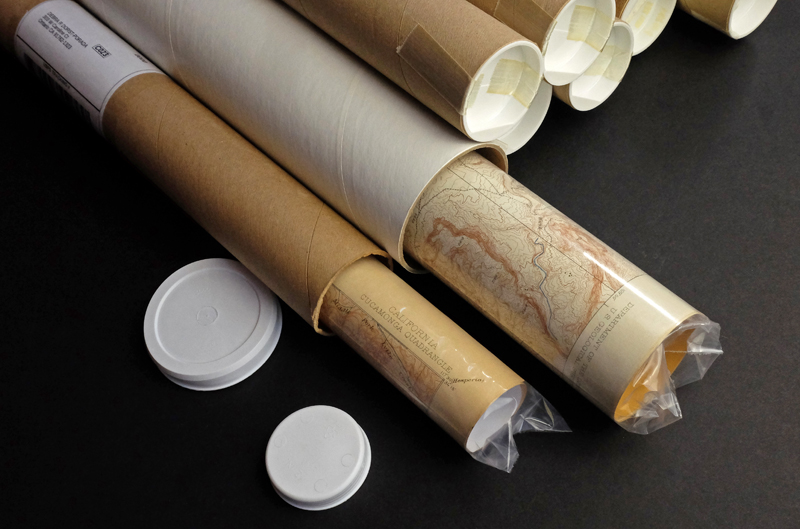 This map sheet will be carefully rolled in a sturdy tube and shipped via the US Postal Service. If you find that the sheet you receive is not as described in the listing, you may ship it back to us for a refund of the purchase price. | |
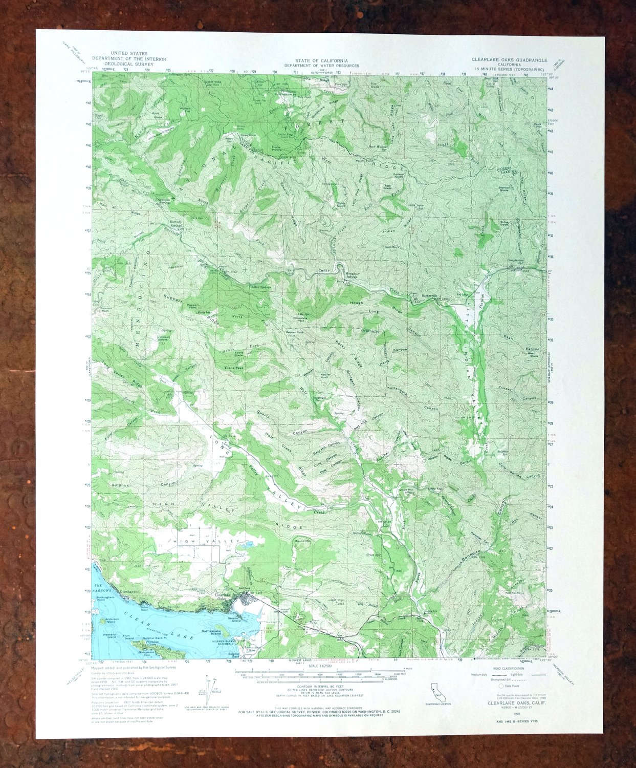
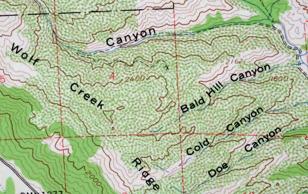
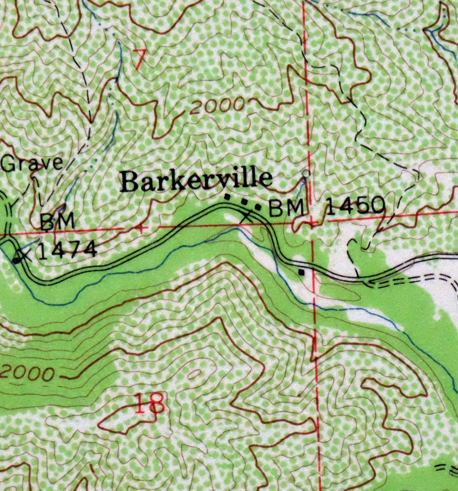
Clearlake Oaks, California 1960 USGS Topo Map
$40
Surveyed before the existence of Indian Valley Reservoir.
- 10 miles north of Clearlake.
- 15-minute series, 1960 edition, printed in 1967.
- Excellent condition, never folded.
In stock
This vintage sheet is a 1960 edition of the Clearlake Oaks California USGS topographic map. It is an original 59-year-old 1967 United States Geological Survey print in excellent condition.
HOW THIS MAP CAN BE USED
In addition to making a fascinating conversation piece, this sheet would look great in a frame or on display, make a unique and prized gift for anyone interested in this area, be perfect as a reference for genealogy studies or general historical research, or fill that missing piece in your collection. Maps of this vintage are printed on durable stock and are well-suited for outdoor activities and recreation of all kinds, including hiking, backpacking, hunting, rafting and kayaking, backcountry skiing, geocaching, general exploration, treasure hunting, etc.
FEATURES SHOWN ON THE MAP
The Clearlake Oaks 15-minute map shows cities and towns, roads, railroads, utilities and energy infrastructure, rivers, creeks, elevation contour lines, public land survey lines, county, state, and other administrative boundaries as they existed at the time of the survey in 1957 through 1960. All known structures (houses, businesses, churches, schools, barns, cabins, etc) are also shown.
A VALUABLE HISTORICAL RECORD
Maps from the 15-minute series for the continental United States are no longer produced or printed by the USGS and original prints are becoming increasingly difficult to find. They are a valuable historical record for an area, as they contain many placenames and features that have been dropped from more recent maps.
Nearby maps
-
Lakeport, California 1958 USGS Topo Map (1977 Print)
$46 Add to cart -
Stonyford California USGS 15-Min Topo Map 1967 Vintage
$39 Add to cart -
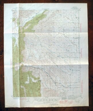
Fruto California Stony Creek Nye Creek USGS Topo Map 1944
$30 Add to cart -
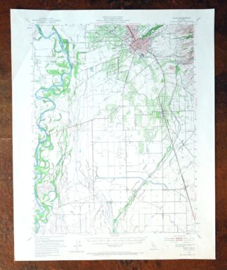
Chico, California 1949 USGS Topo Map (1968 Print)
$41 Add to cart -
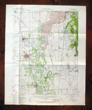
Gridley California Oroville Live Oak USGS Topo Map 1959
$37 Add to cart -
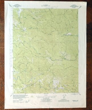
Glenblair California Comptche USGS Topo Map 1943 Vintage
$38 Add to cart -
Mount Vaca, Fairfield, California 1951 USGS Topo Map
$45 Add to cart -

Richardson Springs California Chico Nord USGS Topo Map 1966
$35 Add to cart -
Petaluma Point California Novato USGS Topographic Map 1951
$30 Add to cart -
1959 USGS Topo Map: Petaluma Point, California
$23 Add to cart -
Port Chicago California Concord Martinez USGS Topo Map 1956
$38 Add to cart -
Port Chicago, Mountain View, California 1959 USGS Topo Map
$46 Add to cart -
Panther Spring California USGS 15-Min Topo Map 1970 Vintage
$36 Add to cart -
Pittsburg California Concord Fairfield USGS Topo Map 1965
$38 Add to cart -

1954 USGS Topo Map: San Rafael, Manzanita, California
$58 Add to cart -
San Quentin, California 1959 USGS Topo Map (1980 Print)
$46 Add to cart -
Piercy California USGS 15-Min Topographic Map 1971 Vintage
$33 Add to cart -
1954 USGS Topo Map: Point Bonita, San Francisco, California
$52 Add to cart -
Las Trampas Ridge, California 1959 USGS Topo Map: Oakland
$44 Add to cart -
San Francisco South, CA 1956 USGS Topo Map (1975 Print)
$46 Add to cart -
Hunters Point California Oakland USGS Topographic Map 1969
$38 Add to cart -
Mount Harkness, California 1956 USGS Topo Map (1978 Print)
$36 Add to cart -

Redwood Point California Fremont Hayward USGS Topo Map 1948
$24 Add to cart -
Redwood Point, California 1959 USGS Topo Map
$40 Add to cart