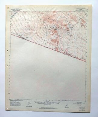
MAP DETAILS | |
|---|---|
| TITLE | Lukeville |
| STATE | Arizona |
| LOCATION | 35 miles south of Ajo |
| SERIES | 15-minute |
| SURVEYED | 1961 and 1963 Aerial and Field Survey |
| EDITION | 1963 |
| PRINTED | 1964 |
| PRINT NOTES | Thick paper stock |
| SCALE | 1:62500 |
| CONTOUR INTERVAL | 40 feet |
| SHEET DIMENSIONS | 17 x 21 inches |
| MAP DIMENSIONS | 14 7/8 x 17 1/2 inches |
| COVERAGE AREA | 15 x 17 miles |
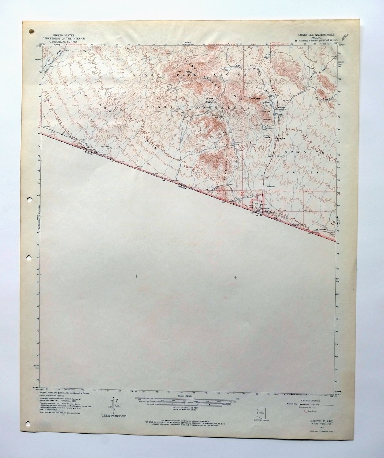
| MAP NOTES | This sheet shows the southern part of Organ Pipe National Park; the area in Mexico is not surveyed. |
| SHEET CONDITION For maps of this vintage, effort is made to note all visible flaws, no matter how minor. | |
| OVERALL CONDITION | Very Good |
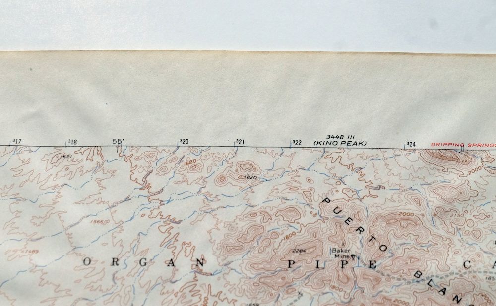
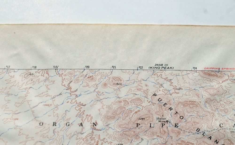
| SHEET NOTES | lightly handled, never folded, humidity contact in top central portion of sheet has had minor impact on sheet flatness |
| MAP AREA | no wear, no markings, no blemishes |
| COLLARS | no wear or tears, no markings, hole punches along left collar, very minor age discoloration along collar edge |
 | |
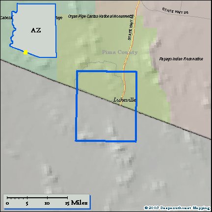
| MAP COVERAGE Quadrangle extent overlaid on current basemap. | |
| PLACENAMES Depending on map series and survey date, all of the features listed below may not be shown on this map. This list contains features that currently exist or historically existed within the area covered by the map. The list can be used as a reference to determine if this map covers your area of interest. Placenames are listed alphabetically next to each feature type. | |
| CITIES AND TOWNS (CURRENT) | Lukeville |
| COUNTIES COVERED | Pima |
| FEDERAL LAND UNITS | Organ Pipe Cactus National Monument and Organ Pipe Cactus Wilderness |
| RIVERS AND STREAMS | Aguajita Wash and Cherioni Wash |
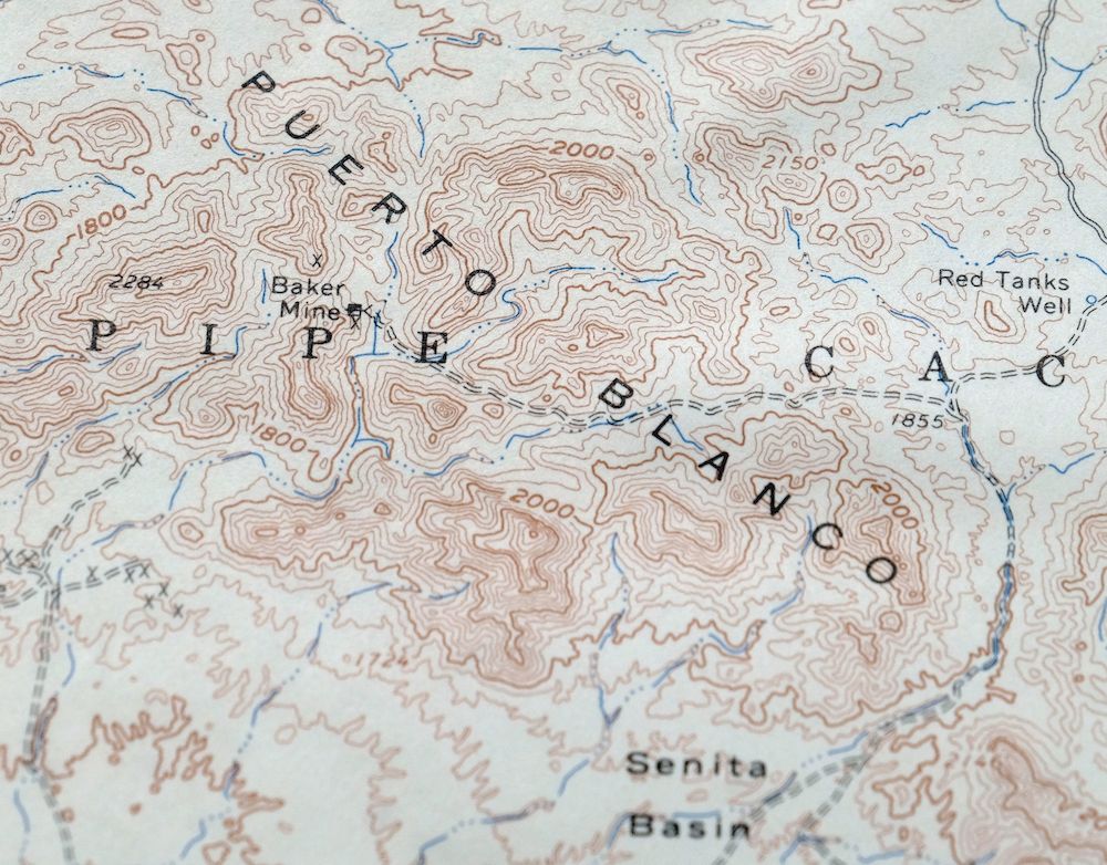
| Locations: Dos Lomitas Ranch Picnic Area and Dowling Ranch. Mountain Ranges: Sonoyta Mountains. Mountains, Peaks, and Summits: Dos Lomitas, Gadsden Peak, Twin Peaks, and West Twin Peak. Valleys and Canyons: Sonoyta Valley. Parks: Organ Pipe Cactus Family Picnic Ground and Organ Pipe Family Campground. Mines: Baker Mine, Lost Cabin Mine, Marine Mine, Martinez Mine, Milton Mine, and Victoria Mine. Buildings: Organ Pipe Cactus National Monument Headquarters. Gaps: Senita Pass. Basins: Senita Basin. Plains and Plateaus: La Abra Plain. Wells: Gachado Well, Pozo Salado Well, and Red Tanks Well. | |
| SHIPPING AND RETURNS | |
 This map sheet will be carefully rolled in a sturdy tube and shipped via the US Postal Service. If you find that the sheet you receive is not as described in the listing, you may ship it back to us for a refund of the purchase price. | |
1964 USGS Topo Map: Lukeville, Arizona
$44
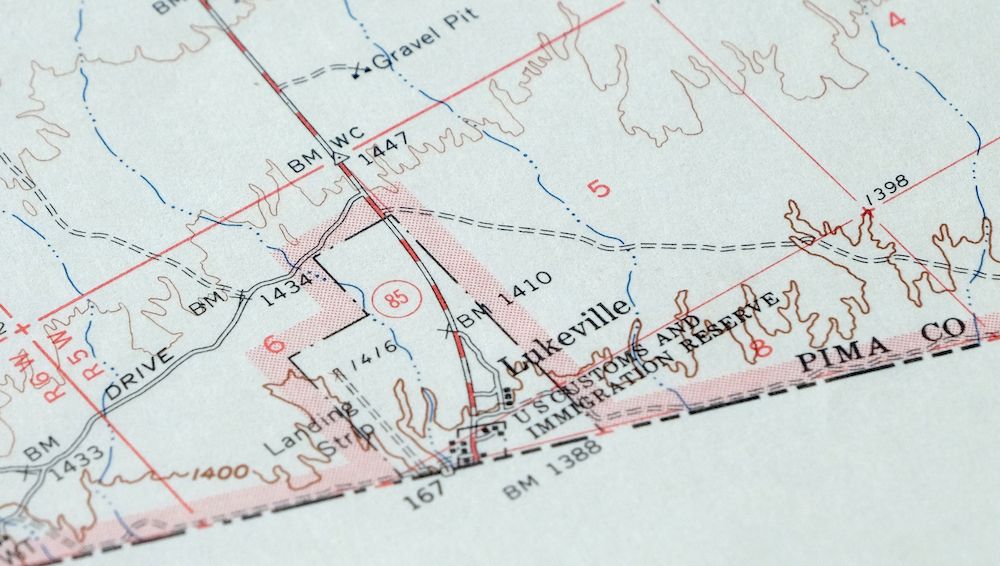
This sheet shows the southern part of Organ Pipe National Park; the area in Mexico is not surveyed. It is a 1963 edition of the Lukeville quadrangle in Arizona, printed in 1964 at a scale of 1:62,500 from aerial and field surveys made in 1961 and 1963. The quad covers a stretch of southern Pima County along the Mexican border, taking in the community of Lukeville and portions of Organ Pipe Cactus National Monument and the Organ Pipe Cactus Wilderness.
In stock
This vintage sheet is a 1963 edition of the Lukeville Arizona USGS topographic map. It is an original 62-year-old 1964 United States Geological Survey print in very good condition.
HOW THIS MAP CAN BE USED
In addition to making a fascinating conversation piece, this sheet would look great in a frame or on display, make a unique and prized gift for anyone interested in this area, be perfect as a reference for genealogy studies or general historical research, or fill that missing piece in your collection. Maps of this vintage are printed on durable stock and are well-suited for outdoor activities and recreation of all kinds, including hiking, backpacking, hunting, rafting and kayaking, backcountry skiing, geocaching, general exploration, treasure hunting, etc.
FEATURES SHOWN ON THE MAP
The Lukeville 15-minute map shows cities and towns, roads, railroads, utilities and energy infrastructure, rivers, creeks, elevation contour lines, public land survey lines, county, state, and other administrative boundaries as they existed at the time of the survey in 1961 and 1963. All known structures (houses, businesses, churches, schools, barns, cabins, etc) are also shown.
A VALUABLE HISTORICAL RECORD
Maps from the 15-minute series for the continental United States are no longer produced or printed by the USGS and original prints are becoming increasingly difficult to find. They are a valuable historical record for an area, as they contain many placenames and features that have been dropped from more recent maps.
Nearby maps
-
1965 Diaz Peak Arizona USGS Topo Map
$37 Add to cart -
1969 Kino Peak Arizona USGS Topo Map
$47 Add to cart -
Agua Dulce Mountains Arizona USGS Topo Map 1971 Vintage
$32 Add to cart -
O’neill Hills Arizona Cabeza Prieta NWR USGS Topo Map 1971
$16 Add to cart -
Ajo Arizona Batamote Mountains Childs USGS Topo Map 1969
$42 Add to cart -
Ajo Arizona Batamote Mountains Childs USGS Topo Map 1934
$38 Add to cart -

Sikort Chuapo Mountains Arizona Why USGS Topo Map 1963
$34 Add to cart -
Cimarron Peak Arizona Papago Hickiwan USGS Topo Map 1964
$40 Add to cart -
Granite Mountains Arizona USGS 15-Min Topo Map 1966 Vintage
$31 Add to cart -
Hat Mountain Arizona Sauceda Mountains USGS Topo Map 1959
$30 Add to cart -
Isla Pinta Arizona Cabeza Prieta NWR USGS Topo Map 1970
$34 Add to cart -
Gu Achi Arizona Santa Rosa Anegam USGS Topo Map 1964 Vintage
$28 Add to cart -
Sells Arizona Topawa Cowlic USGS 15-Min Topographic Map 1948
$49 Add to cart -

Vamori Arizona San Miguel USGS 15-Min Topo Map 1958 Vintage
$34 Add to cart -
Kim Arizona USGS 15-Min Topographic Map 1961 Vintage
$36 Add to cart -

Theba Arizona Sauceda Mountains Gila Bend USGS Topo Map 1951
$32 Add to cart -
Gila Bend Arizona Bosque USGS 15-Min Topo Map 1955 Vintage
$38 Add to cart -
Baboquivari Peak Arizona USGS 15-Min Topo Map 1967 Vintage
$47 Add to cart -
Presumido Peak Arizona USGS 15-Min Topo Map 1960 Vintage
$48 Add to cart -
Mohawk Arizona Tacna USGS 15-Min Topo Map 1960 Vintage
$37 Add to cart -
Vaca Hills Arizona Papago USGS Topographic Map 1965 Vintage
$32 Add to cart -
1961 USGS Topo Map: Vaca Hills, Arizona
$37 Add to cart -
Stoval Arizona Kofa Horn USGS 15-Min Topo Map 1966 Vintage
$38 Add to cart -
1955 USGS Topo Map: Antelope Peak, Arizona
$36 Add to cart