MAP DETAILS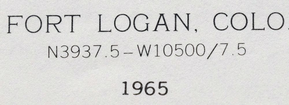 | |
|---|---|
| TITLE | Fort Logan |
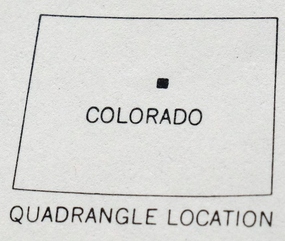
| STATE | Colorado |
| LOCATION | Vicinity of Denver |
| SERIES | 7.5-minute |
| SURVEYED | 1964 and 1965 Aerial and Field Survey |
| EDITION | 1965 |
| PRINTED | 1967 |
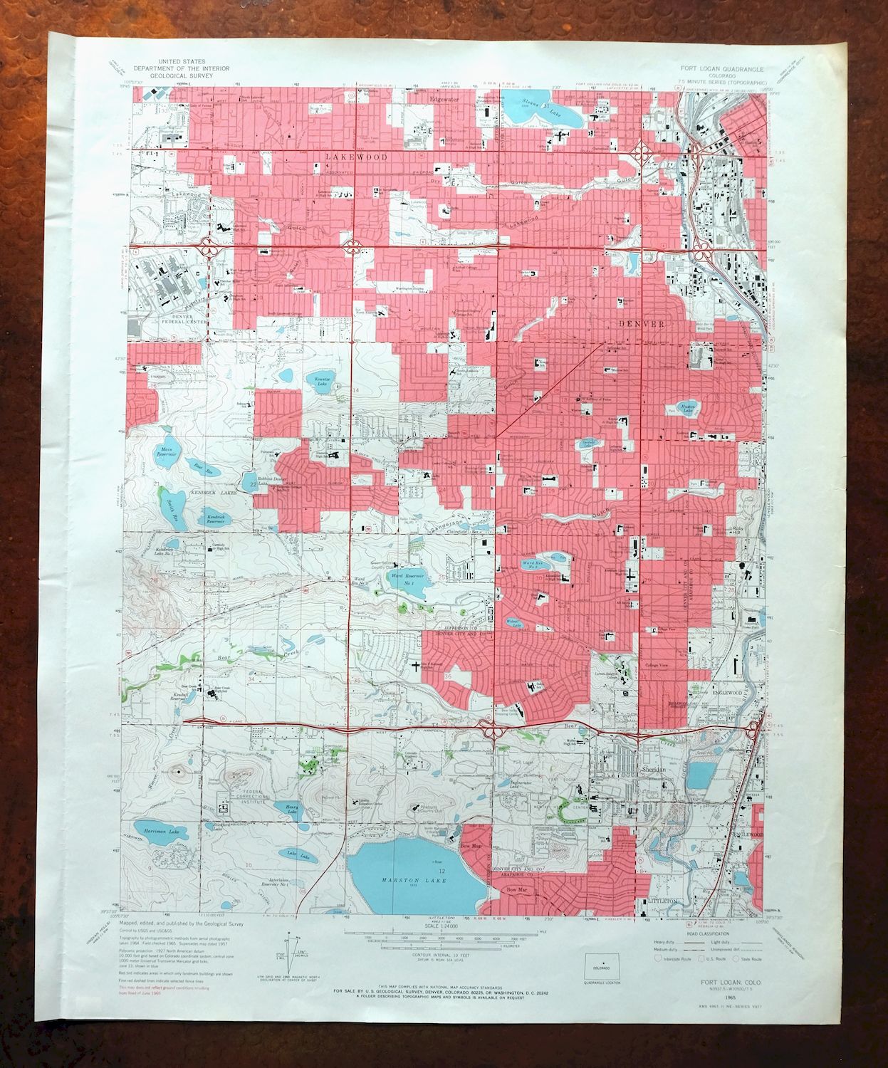
| PRINT NOTES | Thick paper stock, includes woodland tint (green to indicate vegetated areas). A reddish tint is used to indicate urban areas where only landmark buildings are shown. |
| SCALE | 1:24000 |
| CONTOUR INTERVAL | 10 feet |
| SHEET DIMENSIONS | 22 x 27 inches (approximate) |
| MAP DIMENSIONS | 17 1/2 x 22 3/4 inches |
| COVERAGE AREA | 7 x 9 miles |
| SHEET CONDITION For maps of this vintage, effort is made to note all visible flaws, no matter how minor. | |
| OVERALL CONDITION | Good |
| SHEET NOTES | lightly handled, never folded |
| MAP AREA | flawless map area |
| COLLARS | very minor wear or tears, no markings, very minor blemishes, vertical crease in left collar |
| MAP COVERAGE Quadrangle extent overlaid on current basemap. | |
| PLACENAMES Depending on map series and survey date, all of the features listed below may not be shown on this map. This list contains features that currently exist or historically existed within the area covered by the map. The list can be used as a reference to determine if this map covers your area of interest. Placenames are listed alphabetically next to each feature type. | |
| NOTABLE PLACES | Denver, Lakewood, Sheridan, and Marston |
| CITIES AND TOWNS (CURRENT) | Bow Mar, Edgewater, Englewood, and Littleton |
| COUNTIES COVERED | Arapahoe and Jefferson |
| FEDERAL LAND UNITS | Denver Federal Center and Federal Correctional Complex |
| RIVERS AND STREAMS | Bear Creek, Big Dry Creek, Cherry Creek, South Platte River, and Willow Creek |
| WATER BODIES | Barnum Park Lake Reservoir, Belisle Reservoir, Clairfield Reservoir, East Reservoir, Garfield Lake, Henry Lake, Huston Lake, Interlaken Reservoir Number 1, Kendall Reservoir, Kenderick Lake Number 1, Kendrick Reservoir, Kountze Lake, Lakes Lake, Main Reservoir, Marston Lake, Sloans Lake, Smith Reservoir, and Wolcott Lake |
| Locations: Arapahoe Power Plant, Alameda Shopping Center, Athmar Shopping Center, Bear Valley Shopping Center, Brentwood Shopping Center, Foothills Golf Course, Green Gables Country Club, J C R S Shopping Center, Lakewood Country Club, Lincoln Shopping Center, Mar Lee Manor Shopping Center, Meadowlark Shopping Center, Mile High Stadium, Moffat Filter Plant, North Marston Filtration Plant, Pinehurst Country Club, Sheridan Gables Shopping Center, Sheridan Shopping Center, Sheridan-Alameda Shopping Center, and Westland Shopping Center. Mountains, Peaks, and Summits: Ruby Hill. Valleys and Canyons: Dry Gulch, Lakewood Gulch, McIntyre Gulch, and Weir Gulch. Parks: Alemeda Park, Barnum Park, Bear Creek Park, Harvey Park, Holbrook Park, Lincoln Park, Morse Park, Mountair Park, Ruby Hill Park, Rude Park, Valverde Park, and West-Bar-Val Wood Park. Drainages: Bear Creek, Big Dry Creek, Little Dry Creek, and Weaver Creek. Mines: Lakewood Brick and Tile Pit, Lakewood Pottery Pit, Rodger Steele Claim Mine, and Strainland Mine. Hospitals: American Medical Center, Craig Rehabilitation Hospital, Fort Logan Mental Health Center, Jewish National Home for Asthmatic Children, and Saint Anthony Hospital. Lakes and Ponds: Garfield Lake, Huston Lake, Kountze Lake, Sloans Lake, Weir Gulch Park, and Wolcott Lake. Buildings: Denver Federal Center. Dams: Barnum Park Lake Dam, Belisle Dam, Crosley and Westfield Dam, East Dam, Harriman Dam, Henry Lake Dam, Kendrick Dam, Main Dam, Marston Lake Dam, Smith Dam, Ward Number 1 Dam, and Ward Number 5 Dam. Canals: Bowles Lateral, Clover Knoll Ditch, Dike Ditch, Harriman Canal, Johnson Lateral, Salisbury Lateral, and Ward Lateral. Airports: Denver Federal Center Helistop, Denver Water Department Heliport, and Saint Anthony Hospital Central Heliport. Schools: Abraham Lincoln High School, All Saints School, Alameda High School, Alameda Junior High School, Barnum School, Bancroft School, Bear Creek High School, Bear Creek School, Bethlehem School, Belmar School, Belmont Junior High School, Belmont School, Fairview School, Fletcher Miller School, Force School, Carmody Junior High School, Chetenham School, Cleveland Heights Cottage School, Colfax School, College View School, Colorado Academy, Cowell School, Creighton Junior High School, Denison School, Doull School, Eagleton School, Eiber School, Fort Logan School, Glennon Heights School, Godsman School, Goldrick School, Green Gables School, Greenlee School, Gust School, John Fitzgerald Kennedy High School, Johnson School, Kendrick Lake School, Kepner Junior High School, Knapp School, Kunsmiller Junior High School, Lake Junior High School, Lakewood High School, Lakewood Junior High School, Lasley Cottage School, Lasley Cottage School Number 3, Lasley School, Loretto Educational Center, Loretto Heights College, Lutheran High School, Metropolitan Youth Education Center, Molholm School, Mount View Girls School, Munroe School, North Alameda School, North Lakewood School, Notre Dame School, Oliver School, Our Lady of Fatima School, Patterson Cottage School Number 2, Patterson School, Perry School, Petersburg School, Presentation School, Redeemer School, Rishel Junior High School, Sabin School, Saint Anthony of Padua School, Saint Bernadette School, Saint Cajetan School, Saint Elizabeth School, Schenck School, Schmitt School, South Alameda School, South Lakewood Cottage School, South Lakewood School, Terry School, Traylor School, Valverde School, Washington Heights School, West Lakewood School, and Westwood School. Reservoirs and Tanks: Barnum Park Lake Reservoir, Belisle Reservoir, Clairfield Reservoir, Crosley and Westfield Reservoir, East Reservoir, Harriman Lake, Henry Lake, Incinerator Lake, Interlaken Reservoir Number 1, Kendall Reservoir, Kenderick Lake Number 1, Kendrick Reservoir, Lakes Lake, Main Reservoir, Marston Lake, Smith Reservoir, Stickford Lake, Ward Reservoir, Ward Reservoir Number 1, Ward Reservoir Number 2, and Ward Reservoir Number 5. Towers: KDEN-AM (Denver), KJME-AM (Denver), KQXI-AM (Arvada), KRKS-AM (Denver), KRXY-AM (Lakewood), KVOD-FM (Denver), and KXLT-FM (Denver). | |
| SHIPPING AND RETURNS | |
 This map sheet will be carefully rolled in a sturdy tube and shipped via the US Postal Service. If you find that the sheet you receive is not as described in the listing, you may ship it back to us for a refund of the purchase price. | |
1967 Fort Logan Colorado USGS Topo Map: Denver (Lakewood)
$36
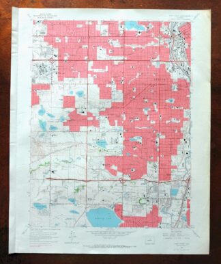
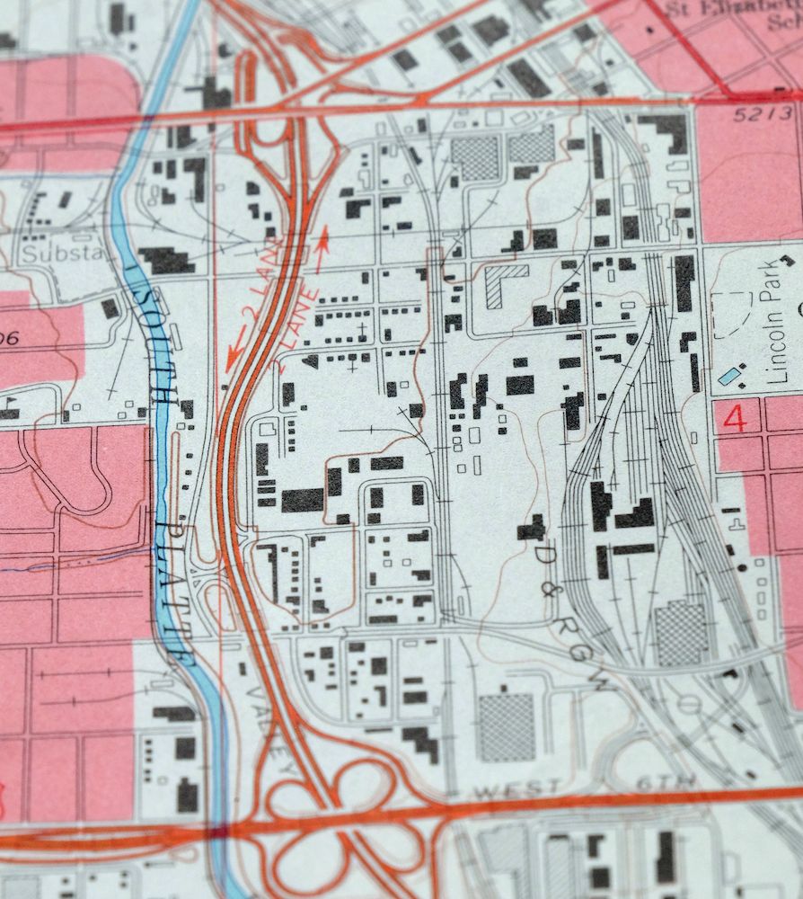
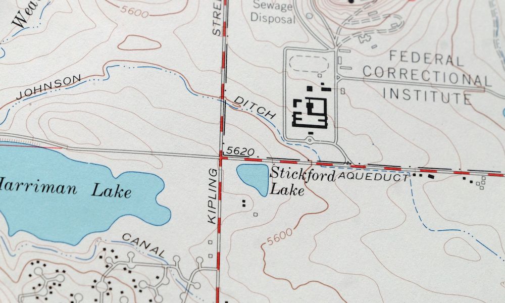
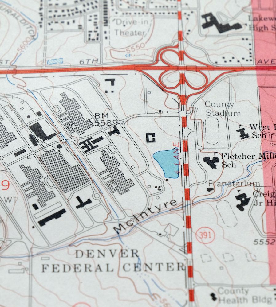
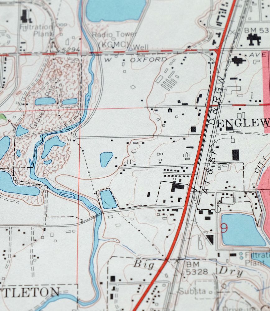
A 7.5-minute topographic map of the Fort Logan area southwest of Denver, first published in 1965 and printed on thick paper stock in 1967, with green woodland tint marking vegetated ground. The quad covers part of the south and west Denver metro, taking in Littleton, Englewood, and the small towns of Edgewater and Bow Mar, across Arapahoe and Jefferson counties. The sheet has never been folded, and the map area itself is flawless, which makes it a good candidate for framing. The 10-foot contour interval renders the ground near the South Platte in fine detail.
In stock
This vintage sheet is a 1965 edition of the Fort Logan Colorado USGS topographic map. It is an original 59-year-old 1967 United States Geological Survey print in good condition.
HOW THIS MAP CAN BE USED
In addition to making a fascinating conversation piece, this sheet would look great in a frame or on display, make a unique and prized gift for anyone interested in this area, be perfect as a reference for genealogy studies or general historical research, or fill that missing piece in your collection. Maps of this vintage are printed on durable stock and are well-suited for outdoor activities and recreation of all kinds, including hiking, backpacking, hunting, rafting and kayaking, backcountry skiing, geocaching, general exploration, treasure hunting, etc.
FEATURES SHOWN ON THE MAP
The Fort Logan 7.5-minute map shows cities and towns, roads, paths, railroads, utilities and energy infrastructure, rivers, creeks, elevation contour lines, public land survey lines, county, state, and other administrative boundaries as they existed at the time of the survey in 1964 and 1965. A reddish tint is used on this sheet to indicate urban areas where only landmark buildings are depicted. Outside of those areas, all known structures (houses, businesses, churches, schools, barns, cabins, etc) are shown.
A VALUABLE HISTORICAL RECORD
This map is from the 7.5-minute series, the most detailed series that is widely available from the USGS. The 1965 Fort Logan map is a valuable historical record for the area. It contains some placenames and features that have been dropped from more recent maps.
Nearby maps
-

Fort Logan Colorado Denver Bow Mar USGS Topographic Map 1941
$38 Add to cart -
Highland Ranch Colorado Denver Southglenn USGS Topo Map 1949
$42 Add to cart -
Fitzsimons Colorado Denver Aurora USGS Topo Map 1948 Vintage
$36 Add to cart -
Long Branch Colorado Denver Aurora USGS Topographic Map 1948
$36 Add to cart -
Kassler Colorado Roxborough Park Louviers USGS Topo Map 1956
$45 Add to cart -

Lafayette Colorado Westminster Thornton USGS Topo Map 1967
$38 Add to cart -
Lafayette Colorado Westminster Thornton USGS Topo Map 1944
$39 Add to cart -
1958 Lafayette Colorado USGS Topo Map: Broomfield (Thornton)
$36 Add to cart -

Eastlake Colorado Westminster Thornton USGS Topo Map 1944
$52 Add to cart -
Eastlake Colorado Westminster Thornton USGS Topo Map 1967
$39 Add to cart -
Platte Canyon Colorado South Platte USGS Topo Map 1955
$44 Add to cart -
Coal Creek Colorado Aurora USGS Topographic Map 1942 Antique
$45 Add to cart -

Box Elder School Colorado Denver Aurora USGS Topo Map 1942
$38 Add to cart -
Eldorado Springs Colorado Arvada Boulder USGS Topo Map 1961
$37 Add to cart -
1955 Tungsten Colorado USGS Topo Map: Barker Reservoir
$45 Add to cart -
Bailey Colorado Will-O-The-Wisp Wandcrest USGS Topo Map 1973
$40 Add to cart -
Central City Colorado Black Hawk USGS Topo Map 1964 Vintage
$32 Add to cart -
Nederland Colorado Eldora Rollinsville USGS Topo Map 1964
$35 Add to cart -
Shawnee Colorado Singleton USGS Topographic Map 1972 Vintage
$39 Add to cart -
Georgetown Colorado Silver Plume USGS Topo Map 1962 Vintage
$33 Add to cart -
Georgetown Colorado Idaho Springs USGS Topo Map 1980 Vintage
$42 Add to cart -
Lyons Colorado USGS 7.5-Min Topographic Map 1961 Vintage
$34 Add to cart -
Montezuma Colorado Keystone USGS 15-Min Topographic Map 1926
$58 Add to cart -
1972 Montezuma Colorado USGS Topo Map: Keystone
$46 Add to cart