MAP DETAILS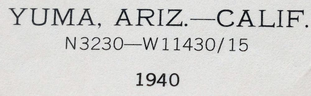 | |
|---|---|
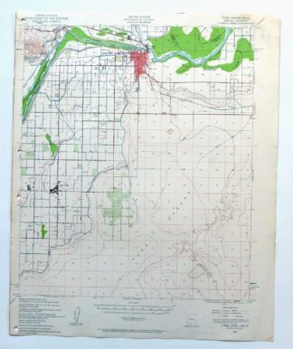
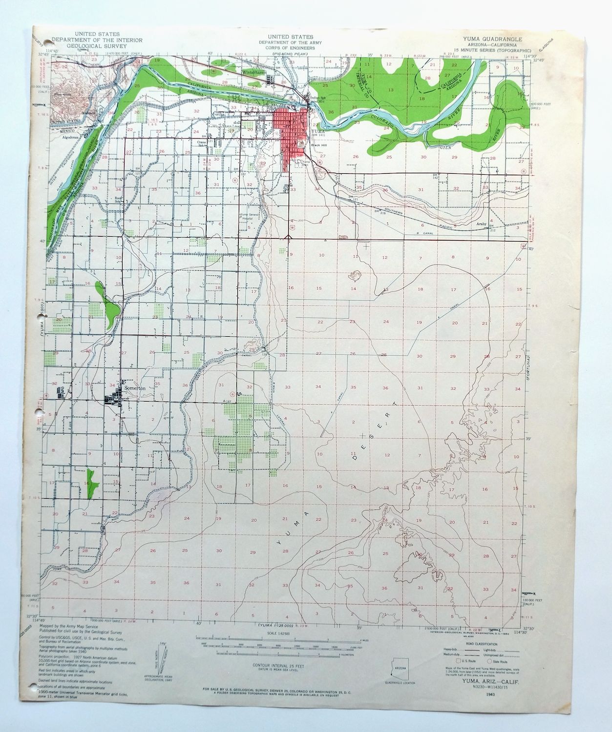
| TITLE | Yuma |
| STATE | Arizona, California |
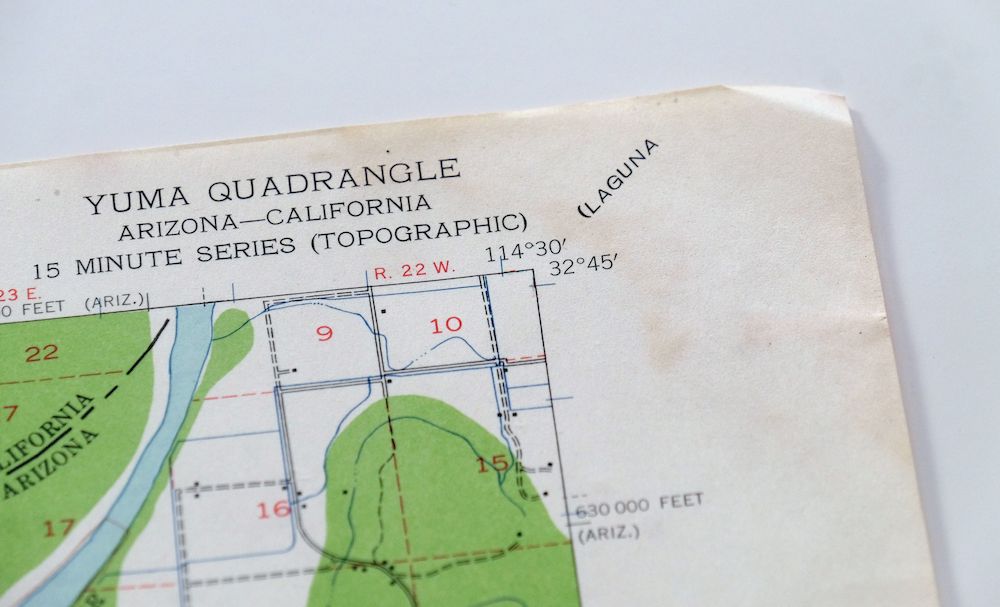
| SERIES | 15-minute |
| SURVEYED | 1940 Aerial and Field Survey |
| EDITION | 1940 |
| PRINTED | 1960 |
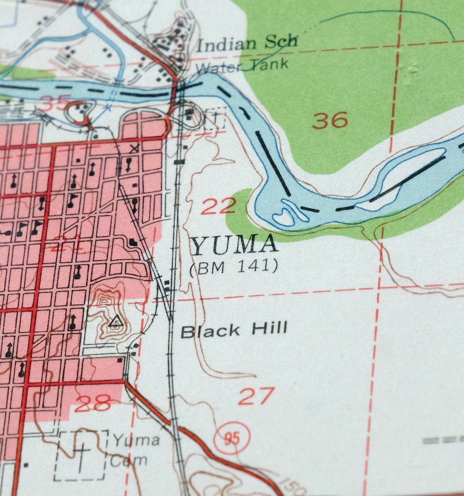
| PRINT NOTES | Thick paper stock, includes woodland tint (green to indicate vegetated areas). A reddish tint is used to indicate urban areas where only landmark buildings are shown. |
| SCALE | 1:62500 |
| CONTOUR INTERVAL | 25 feet |
| SHEET DIMENSIONS | 17 x 21 inches |
| MAP DIMENSIONS | 14 3/4 x 17 1/2 inches |
| COVERAGE AREA | 15 x 17 miles |
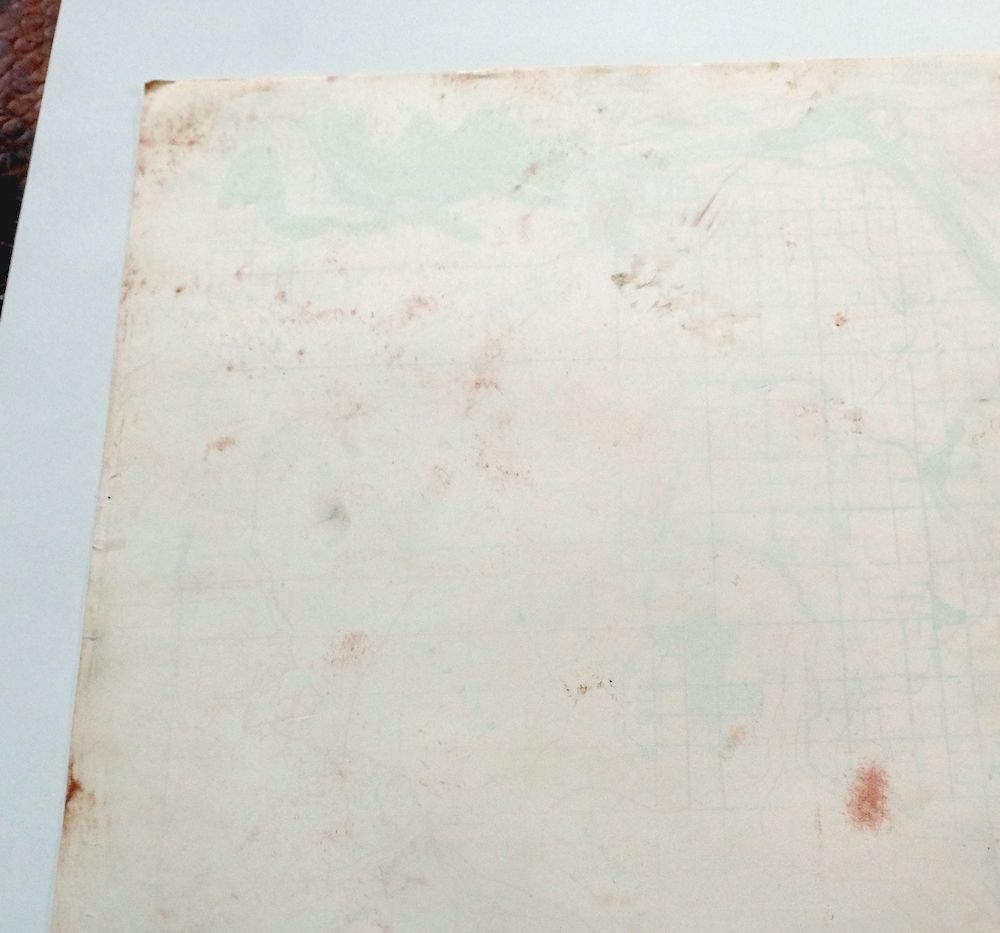
| SHEET CONDITION For maps of this vintage, effort is made to note all visible flaws, no matter how minor. | |
| OVERALL CONDITION | Very Good |
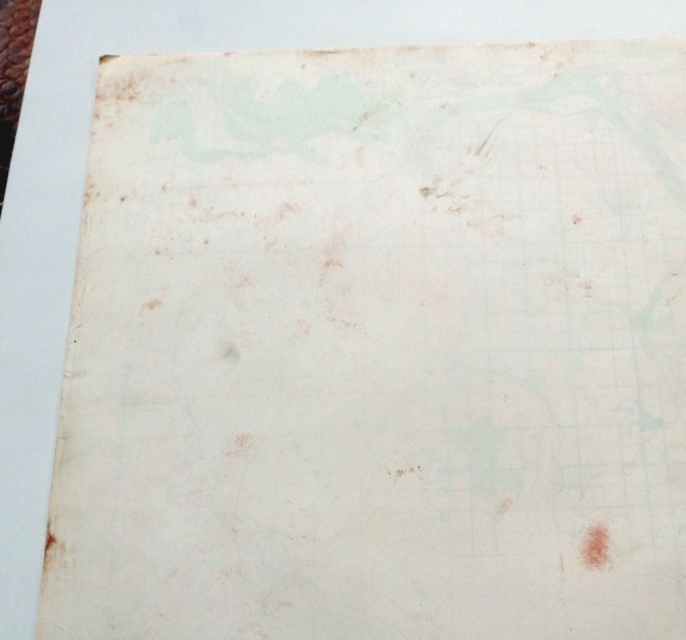
| SHEET NOTES | lightly handled, never folded |
| MAP AREA | no wear, no markings, no blemishes |
| COLLARS | minor wear or tears, no markings, moderate blemishes, hole punches in left collar |
  | |
| MAP COVERAGE Quadrangle extent overlaid on current basemap. | |
| PLACENAMES Depending on map series and survey date, all of the features listed below may not be shown on this map. This list contains features that currently exist or historically existed within the area covered by the map. The list can be used as a reference to determine if this map covers your area of interest. Placenames are listed alphabetically next to each feature type. | |
| CITIES AND TOWNS (CURRENT) | Andrade, San Luis, Somerton, Winterhaven, and Yuma |
| COUNTIES COVERED | Imperial and Yuma |
| FEDERAL LAND UNITS | Barry M. Goldwater Air Force Range, Cocopah Indian Reservation, Fort Yuma Indian Reservation, and Yuma Marine Corps Air Station |
| RIVERS AND STREAMS | Araz Wash, Colorado River, East Main Canal, Gila River, and Thacker Lateral |
| Arizona Locations: Arizona Inspection Station, Arroyo Dunes Golf Course, Big Curve Shopping Center, East Yard, Gila Center, J C Silver Spur Rodeo Grounds, Luding Siding, Patio, Southgate Mall, University of Arizona Agricultural Experiment Station, Willets Siding, Yucca Powerplant, Yuma County Fairgrounds, and Yuma Municipal Golf Course. Reserves: Yuma Indian Homesteads. Mountains, Peaks, and Summits: Mohawk Peak, Sierra Prieta, Prison Hill, and Yuma Mesa. Valleys and Canyons: North Gila Valley and South Gila Valley. Parks: Bridge Park, Carver Park, City Park, Joe Henry Memorial Park, Latino Americano Park, Ray Smucker Park, Riverside Park, Sanguinetti Field, and Somerton Park. Drainages: Gila River. Hospitals: Yuma Regional Medical Center. Buildings: Arizona Game and Fish Region IV Office, Carnegie Library, Somerton City Hall, Yuma City Hall, Yuma Civic and Convention Center, Yuma County Juvenile Home, Yuma Courthouse, Yuma Fire Department, Yuma Railroad Station, and Yuma Territorial Prison. Dams: Elevenmile Spillway and Morelos Dam. Crossings: Araby Road Overpass. Canals: A 8.4 Lateral, A 8.9 Lateral, A 8.9 N Lateral, A 9.4 Lateral, A Canal, Abbott Lateral, Arnold Lateral, Auxiliary Supply Canal, B 3.7 Lateral, B 3.8 Lateral, B 5.5 W Lateral, B 6.2 E Lateral, B 7.0 Lateral, B 8.0 N Lateral, B 8.55 Lateral, B Canal, B Main Lateral, Baker Lateral, Bondesson Lateral, Bronk Lateral, Cahoon Lateral, Carter Lateral, Case Lateral, Central Canal, Central Drain, Central Stub Number One, Central Stub Number Two Drain, Church Lateral, Cloyd Lateral, Cocopah Drain, Converse Lateral, Cooper Lateral, Corey Drain, Daniel Lateral, Donovan Lateral, East Central Drain, East Drain, East Drain Extension, East Hearn Lateral, East Main Canal, Faulkner Lateral, Fishbaugh Lateral, Flint Lateral, Franklin Lateral, Fuller Lateral, Gardenhire Drain, Garven Lateral, George Lateral, Gibson Lateral, Gilbert Lateral, Graham Lateral, Greer Lateral, Hanna Lateral, Harmon Lateral, Harris Lateral, Haupt Lateral, Havens Lateral, Hayden Lateral, Hearn Lateral, Hevener Lateral, Howe Lateral, Johnson Lateral, Jordan Lateral, Kent Lateral, Lateral B-2, Lawler Lateral, Lent Lateral, Livingston Lateral, Lorona Lateral, Main Drain, Main Drain Extension, Main Lateral, Main Outlet Drain, Marble Lateral, Martin Lateral, Maxey Lateral, Miller Lateral, Modest Lateral, Molina Lateral, North Drain, Northwest Drain, Nugent Lateral, Pancrazi Lateral, Patterson Lateral, Potter Lateral, Rose Lateral, Shields Lateral, Somerton Canal, Somerton Lateral, Somerton Lateral Wasteway, South Gila Valley Main Canal, Southeast Drain, Stevenson Lateral, Stofella Lateral, Stub Number One, Stub Number Two, Thacker Lateral, Thurman Lateral, Trevorrow Lateral, Tuttle Lateral, West Drain, West Hearn Lateral, West Main Canal, White Lateral, Winsor Lateral, Yarwood Lateral, Yocum Lateral, and Yuma Main Canal. Airports: Checkerboard Airport, Rolle Airfield, Somerton Airport, Yuma Helicopters, Yuma International Airport, Yuma Number Four Airfield, and Yuma Regional Medical Center Heliport. Schools: Byrne School, Carver School, Crane School, Fourth Avenue Junior High School, Gila Vista Junior High School, Gwyneth Ham Elementary School, Immaculate Conception Catholic School, Johnson School, Kofa High School, McGraw School, Palmcroft School, Pecan Grove School, Post School, Rolle School, Roosevelt School, Saint Francis School, Somerton Elementary School, Union High School, Woodward Junior High School, and Yuma Lutheran School. Towers: KBLU-AM (Yuma), KEZC-AM (Yuma), KJOK-FM (Yuma), KTTI-FM (Yuma), KVOY-AM (Yuma), KYXI-FM (Yuma), and KZPL-FM (Yuma). Plains and Plateaus: Yuma Desert. Springs: Yuma Mineral Spring. | |
| California Locations: Andrade, Old Araz Stage Depot, Pilot Knob Check and Wasteway, and Pilot Knob Hydro-electric Plant. Mountains, Peaks, and Summits: Pilot Knob and Pilot Knob Mesa. Drainages: Araz Wash. Churches: Saint Thomas Yuma Indian Mission. Levees: Reservation Levee. Canals: Alamo Canal, Osage Canal, Sioux Lateral, and Yakima Lateral. Schools: San Pasqual School and San Pasqual Valley School. | |
| SHIPPING AND RETURNS | |
 This map sheet will be carefully rolled in a sturdy tube and shipped via the US Postal Service. If you find that the sheet you receive is not as described in the listing, you may ship it back to us for a refund of the purchase price. | |
1960 Yuma Arizona/California USGS Army COE Topo Map
$38
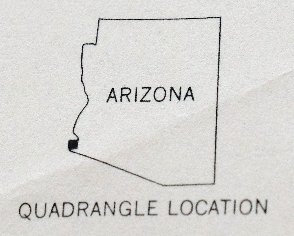
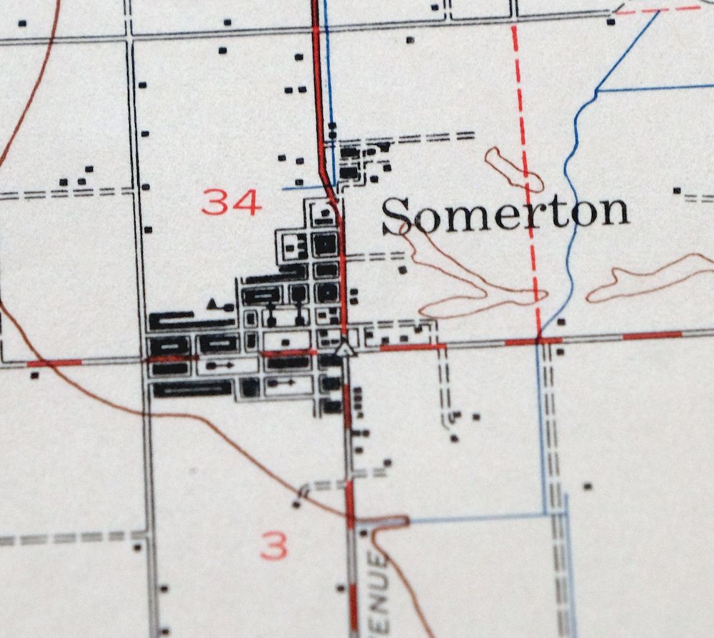
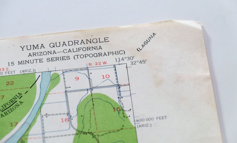
This is a 1940 edition of the Yuma quad, printed in 1960 at 1:62,500, a USGS and Army Corps of Engineers topographic sheet with a green woodland tint marking vegetated areas on thick stock. It covers the lower Colorado River where Arizona meets California, taking in Yuma and Somerton along with Winterhaven and Andrade across the state line, and parts of the Fort Yuma and Cocopah Indian Reservations. This stretch of river marks the border crossing into Mexico at San Luis, and the sheet captures the irrigated farmland the Colorado made possible here.
In stock
This vintage sheet is a 1940 edition of the Yuma Arizona USGS topographic map. It is an original 66-year-old 1960 United States Geological Survey print in very good condition.
HOW THIS MAP CAN BE USED
In addition to making a fascinating conversation piece, this sheet would look great in a frame or on display, make a unique and prized gift for anyone interested in this area, be perfect as a reference for genealogy studies or general historical research, or fill that missing piece in your collection. Maps of this vintage are printed on durable stock and are well-suited for outdoor activities and recreation of all kinds, including hiking, backpacking, hunting, rafting and kayaking, backcountry skiing, geocaching, general exploration, treasure hunting, etc.
FEATURES SHOWN ON THE MAP
The Yuma 15-minute map shows cities and towns, roads, railroads, utilities and energy infrastructure, rivers, creeks, elevation contour lines, public land survey lines, county, state, and other administrative boundaries as they existed at the time of the survey in 1940. A reddish tint is used on this sheet to indicate urban areas where only landmark buildings are depicted. Outside of those areas, all known structures (houses, businesses, churches, schools, barns, cabins, etc) are shown.
A VALUABLE HISTORICAL RECORD
Maps from the 15-minute series for the continental United States are no longer produced or printed by the USGS and original prints are becoming increasingly difficult to find. They are a valuable historical record for an area, as they contain many placenames and features that have been dropped from more recent maps.
Nearby maps
-
Fortuna Arizona Yuma Ligurta USGS Topo Map 1956 Vintage
$45 Add to cart -
Vopoki Ridge Arizona Yuma Desert Yuma USGS Topo Map 1966
$31 Add to cart -

Red Hill Arizona Castle Dome Plain USGS Topographic Map 1955
$42 Add to cart -
Mohawk Arizona Tacna USGS 15-Min Topo Map 1960 Vintage
$37 Add to cart -
Roll Arizona Growler USGS 15 Minute Topo Map 1962 Vintage
$35 Add to cart -
Cibola Arizona Palo Verde Trigo Mountains USGS Topo Map 1961
$41 Add to cart -
Trigo Peaks Arizona Dome Rock Mountains USGS Topo Map 1955
$37 Add to cart -
Engesser Pass Arizona USGS 15-Min Topo Map 1971 Vintage
$36 Add to cart -
Kim Arizona USGS 15-Min Topographic Map 1961 Vintage
$36 Add to cart -
Stoval Arizona Kofa Horn USGS 15-Min Topo Map 1966 Vintage
$38 Add to cart -
Isla Pinta Arizona Cabeza Prieta NWR USGS Topo Map 1970
$34 Add to cart -
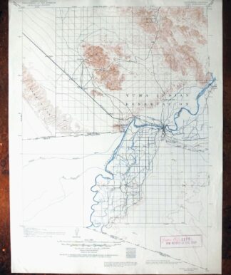
Yuma California San Luis Somerton USGS Topo Map 1954 Vintage
$40 Add to cart -
Granite Mountains Arizona USGS 15-Min Topo Map 1966 Vintage
$31 Add to cart -

Quartzsite Arizona USGS 15-Min Topographic Map 1971 Vintage
$44 Add to cart -
O’neill Hills Arizona Cabeza Prieta NWR USGS Topo Map 1971
$16 Add to cart -
1969 USGS Topo Map: Vicksburg, Kofa Wilderness, Arizona
$32 Add to cart -
Hope Arizona Salome USGS 15-Min Topographic Map 1967 Vintage
$35 Add to cart -
1947 Linskey Arizona USGS Topo Map: Cactus Plain
$27 Add to cart -
Agua Dulce Mountains Arizona USGS Topo Map 1971 Vintage
$32 Add to cart -
Cottonwood Spring California USGS Topo Map 1973 Vintage
$39 Add to cart -

Theba Arizona Sauceda Mountains Gila Bend USGS Topo Map 1951
$32 Add to cart -
Ajo Arizona Batamote Mountains Childs USGS Topo Map 1969
$42 Add to cart -
Ajo Arizona Batamote Mountains Childs USGS Topo Map 1934
$38 Add to cart -
1960 USGS Topo Map: Parker, California/Arizona
$48 Add to cart