MAP DETAILS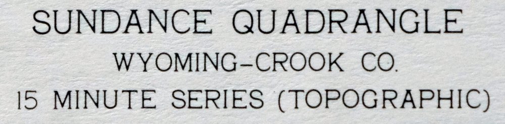 | |
|---|---|
| TITLE | Sundance |
| STATE | Wyoming |
| LOCATION | 60 miles west of Rapid City, SD |
| SERIES | 15-minute |
| SURVEYED | 1954 and 1958 Aerial and Field Survey |
| EDITION | 1958 |
| PRINTED | 1966 |
| PRINT NOTES | Thick paper stock, includes woodland tint (green to indicate vegetated areas) |
| SCALE | 1:62500 |
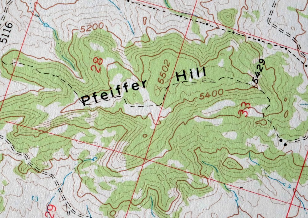
| CONTOUR INTERVAL | 40 feet |
| SHEET DIMENSIONS | 18 x 22 inches |
| MAP DIMENSIONS | 12 1/2 x 17 1/2 inches |
| COVERAGE AREA | 12 x 17 miles |
| MAP NOTES | Surveyed before the construction of Interstate 90. |
| SHEET CONDITION For maps of this vintage, effort is made to note all visible flaws, no matter how minor. | |
| OVERALL CONDITION | Very Good |
| SHEET NOTES | lightly handled, never folded |
| MAP AREA | flawless map area |
| COLLARS | very minor wear or tears, no markings, no blemishes |
| MAP COVERAGE Quadrangle extent overlaid on current basemap. | |
| PLACENAMES Depending on map series and survey date, all of the features listed below may not be shown on this map. This list contains features that currently exist or historically existed within the area covered by the map. The list can be used as a reference to determine if this map covers your area of interest. Placenames are listed alphabetically next to each feature type. | |
| NOTABLE PLACES | Bear Lodge Mountains, Black Buttes, and Black Hills NF |
| CITIES AND TOWNS (CURRENT) | Sundance |
| COUNTIES COVERED | Crook |
| FEDERAL LAND UNITS | Black Hills National Forest |
| RIVERS AND STREAMS | Beaver Creek, Benton Creek, Calvin Creek, Cundy Creek, Fescue Creek, Houston Creek, Inyan Kara Creek, Lost Houston Creek, Lytle Creek, North Fork Miller Creek, North Fork Sundance Creek, North Spring Creek, Oak Canyon, Ogden Creek, Poison Creek, Richardson Creek, Rocky Ford Creek, South Fork Ogden Creek, South Redwater Creek, Spring Branch, Spring Creek, Sundance Creek, Warner Springs Creek, West Fork Benton Creek, and Whitelaw Creek |
| WATER BODIES | Medicine Lake |
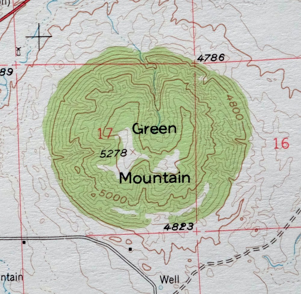
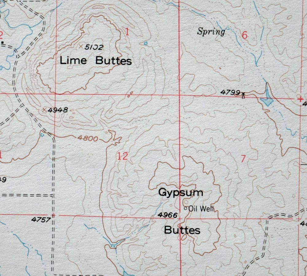
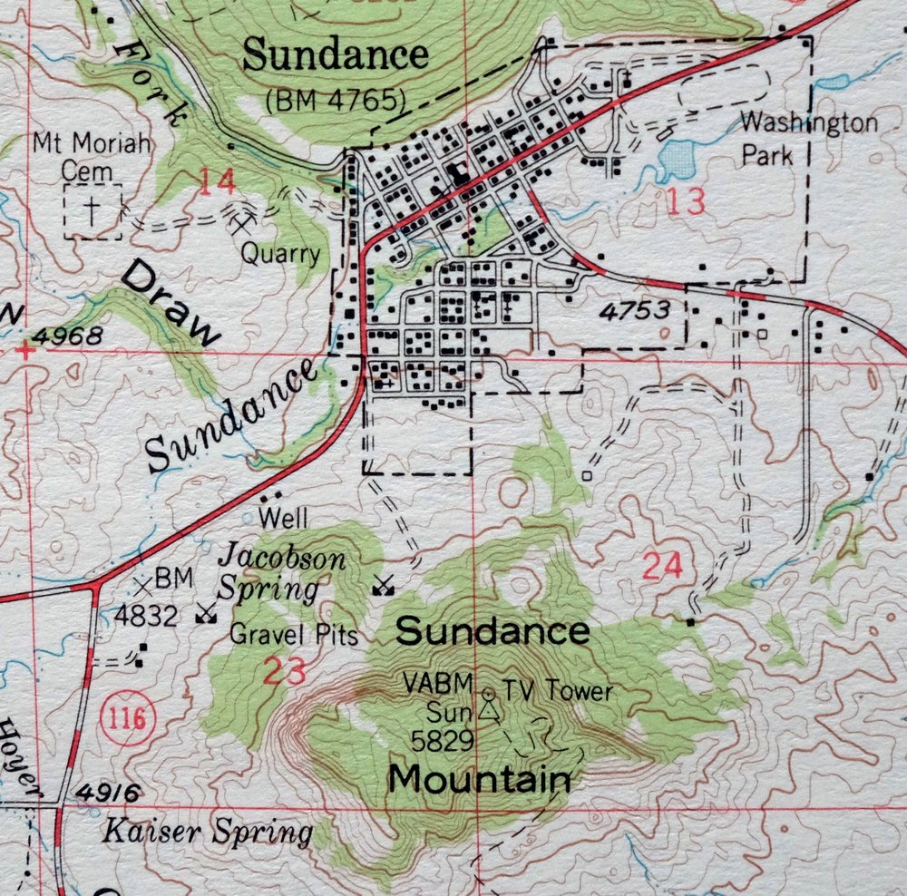
| Populated Place: Sundance and Vista West Trailer Park. Locations: Reuter Canyon Campground and Sundance District Ranger Station. Administrative Boundaries: Sundance Division and Town of Sundance. Mountain Ranges: Bear Lodge Mountains. Mountains, Peaks, and Summits: Black Buttes, Bock Hill, Bull Hill, Coal Mine Hill, Duling Hill, Fish Mountain, Green Mountain, Gypsum Buttes, Hooker Peak, Iron Mountain, Lime Buttes, Mount Lewisa, O'Haver Hill, O'Haver Peak, Pfeiffer Hill, Ragged Top, Rupe Hill, Sugarloaf, Sundance Mountain, and Warren Peaks. Valleys and Canyons: Adams Canyon, Bear Den Canyon, Carson Draw, Cole Canyon, Duling Canyon, Fish Canyon, Jacobson Draw, Jim Wayne Canyon, Krusee Canyon, Reuter Canyon, Reuter Draw, Schelldorf Draw, and Tent Canyon. Parks: Washington Park. Drainages: Benton Creek, Boardinghouse Creek, Calvin Creek, Chassell Creek, Cundy Creek, Hoyer Creek, Lost Houston Creek, Medicine Flat Creek, North Fork Sundance Creek, Ogden Creek, Richardson Creek, Silver Creek, South Fork Ogden Creek, Spring Branch, Spring Creek, Warner Springs Creek, and West Fork Benton Creek. Mines: Albert Mann Mine, American Colloid Pits Mine, Bear Lodge District Mine, Bear Lodge Mining District Mine, Belsher Mine, Black Butte Deposit Mine, Bolton Mine, Climax Ten Mine, Copper Prince Mine, Government Valley Mine, Homes Fire Lode Forty-three, Hutchins Consolidated Gold Mining Mine, Inum One Claim, Jim Wayne Canyon Mine, Lytle Creek Prospect Mine, Lytle Five Claim, Lytle Three Claim, Peterson Deposits Mine, Potluck One Mine, Potluck Two Mine, Royal Purple Number One and Number Two Mine, Summit Materials Quarry Mine, Sunrise Lode Mine, Victory Lode Mine, Warren Peaks Mine, Watson Pit Mine, and Bock Mine. Post Office: Sundance Post Office. Hospitals: Crook County Medical Services District Hospital and Crook County Nursing Home. Lakes and Ponds: Medicine Lake. Buildings: Black Hills National Forest Bearlodge Ranger District Fire Engine Crew, Crook County Fire Department, Crook County Medical Services - Sundance Emergency Medical Services, Crook County Sheriff's Office, Sundance Police Department, Sundance Volunteer Fire Department, and Wyoming Highway Patrol District 1 Division Q. Dams: Edwards Number 3 Dam and Gose Dam. Airports: Schloredt Airport. Schools: High School IV, Sundance High School, Sundance Junior High School, Sundance School, Houston Creek School, and Sundance Elementary School. Ridges: Elkhorn Divide, Houston Ridge, Kaiser Divide, and Smith Ridge. Reservoirs and Tanks: Edwards Number 3 Reservoir and Gose Reservoir. Military: Sundance Air Force Station. Flats: Black Flats and Medicine Flat. Towers: Bear Lodge Mountain Lookout Tower. Springs: Allread Spring, Bear Den Spring, Big Flat Spring, Boardinghouse Spring, Box Spring, Cole Spring, Davis Spring, Den Spring, Fish Canyon Spring, Huchins Spring, Jacobson Spring, Jim Wayne Spring, Kaiser Spring, Loafman Springs, Peterson Spring, and Talbot Spring. Cemetery: Green Mountain Cemetery, Inyan Kara Cemetery, and Mount Moriah Cemetery. | |
| SHIPPING AND RETURNS | |
 This map sheet will be carefully rolled in a sturdy tube and shipped via the US Postal Service. If you find that the sheet you receive is not as described in the listing, you may ship it back to us for a refund of the purchase price. | |
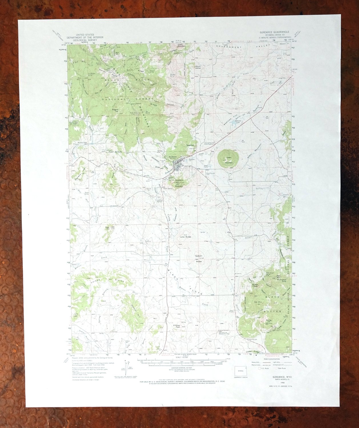
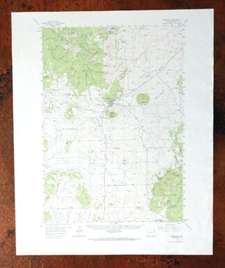
1966 USGS Topo Map: Sundance, Bear Lodge Mountains, Wyoming
$38
Surveyed before the construction of Interstate 90. This 1958 edition of the Sundance quad, printed in 1966 at 1:62,500 scale, maps a 12-by-17-mile stretch of Crook County in northeastern Wyoming, about 60 miles west of Rapid City. The town of Sundance sits within the area, along with the Bear Lodge Mountains, the Black Buttes, and a portion of the Black Hills National Forest.
In stock
This vintage sheet is a 1958 edition of the Sundance Wyoming USGS topographic map. It is an original 60-year-old 1966 United States Geological Survey print in very good condition.
HOW THIS MAP CAN BE USED
In addition to making a fascinating conversation piece, this sheet would look great in a frame or on display, make a unique and prized gift for anyone interested in this area, be perfect as a reference for genealogy studies or general historical research, or fill that missing piece in your collection. Maps of this vintage are printed on durable stock and are well-suited for outdoor activities and recreation of all kinds, including hiking, backpacking, hunting, rafting and kayaking, backcountry skiing, geocaching, general exploration, treasure hunting, etc.
FEATURES SHOWN ON THE MAP
The Sundance 15-minute map shows cities and towns, roads, railroads, utilities and energy infrastructure, rivers, creeks, elevation contour lines, public land survey lines, county, state, and other administrative boundaries as they existed at the time of the survey in 1954 and 1958. All known structures (houses, businesses, churches, schools, barns, cabins, etc) are also shown.
A VALUABLE HISTORICAL RECORD
Maps from the 15-minute series for the continental United States are no longer produced or printed by the USGS and original prints are becoming increasingly difficult to find. They are a valuable historical record for an area, as they contain many placenames and features that have been dropped from more recent maps.
Nearby maps
-

1922 Hartville Wyoming USGS Topo Map: Fort Laramie
$38 Add to cart -

Goshen Hole Wyoming Lyman Henry USGS Topographic Map 1916
$62 Add to cart -
Cody Wyoming USGS 15-Min Topographic Map 1969 Vintage
$38 Add to cart -

Eaton Colorado Fort Collins Ault USGS Topographic Map 1957
$36 Add to cart -
1910 USGS Topo Map: Eaton, Fort Collins, Colorado/Wyoming
$34 Add to cart -
Stillwater Montana Hailstone NWR Columbus USGS Topo Map 1932
$45 Add to cart -
Kings Canyon Colorado North Sand Hills USGS Topo Map 1969
$34 Add to cart -

Pearl Colorado USGS 15-Min Topographic Map 1969 Vintage
$40 Add to cart -

Sunlight Peak Wyoming Pahaska Tepee USGS Topo Map 1980
$36 Add to cart -

Estes Park Colorado USGS 7.5-Min Topo Map 1961 Vintage
$31 Add to cart -

Big Timber Montana Reed Point Reed Point USGS Topo Map 1910
$36 Add to cart -
Trail Ridge Colorado USGS 7.5-Min Topo Map 1962 Vintage
$25 Add to cart -
1974 USGS Topo Map: Mount Ethel, Park Range, Colorado
$41 Add to cart -
1959 Mchenrys Peak Colorado USGS Topo Map
$33 Add to cart -
Lake Wyoming Antique USGS Topographic Map 1922
$78 Add to cart -
Lyons Colorado USGS 7.5-Min Topographic Map 1961 Vintage
$34 Add to cart -
Pilot Knob Colorado Routt NF USGS Topo Map 1963 Vintage
$37 Add to cart -

Tower Junction Wyoming USGS 15-Min Topo Map 1984 Vintage
$40 Add to cart -
Judith Peak Montana Black Butte USGS Topo Map 1978 Vintage
$38 Add to cart -
1966 Mount Wallace Montana/Wyoming USGS Topo Map
$45 Add to cart -

Mount Cowen Montana Absaroka Range USGS 15-Min Topo Map 1963
$44 Add to cart -
Sawyer North Dakota Surrey Logan USGS Topo Map 1929 Antique
$26 Add to cart -
Lewistown Montana Judith Mountains USGS 15-Min Topo Map 1975
$40 Add to cart -
Hot Sulphur Springs Colorado Parshall USGS Topo Map 1963
$39 Add to cart