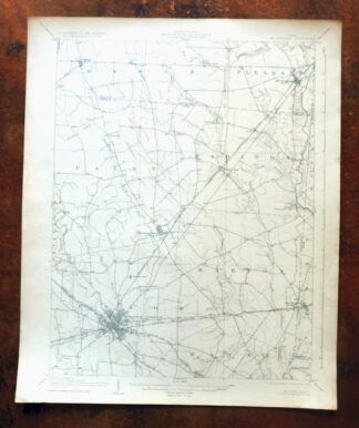
MAP DETAILS | |
|---|---|
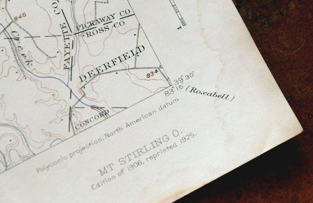
| TITLE | Mount Sterling |
| STATE | Ohio |
| LOCATION | Vicinity of Washington Court House, 30 miles southwest of Columbus |
| SERIES | 15-minute |
| SURVEYED | 1904 Field Survey |
| GEOGRAPHER | H.M. Wilson |
| ENGRAVED | 1906 |
| EDITION | 1906 |
| PRINTED | 1925 |
| PRINT NOTES | Thick paper stock |
| SCALE | 1:62500 |
| CONTOUR INTERVAL | 20 feet |
| SHEET DIMENSIONS | 16 1/2 x 20 inches |
| MAP DIMENSIONS | 13 1/2 x 17 1/2 inches |
| COVERAGE AREA | 13 x 17 miles |
| SHEET CONDITION For maps of this vintage, effort is made to note all visible flaws, no matter how minor. | |
| OVERALL CONDITION | Very Good |
| SHEET NOTES | lightly handled, never folded, attractively age-toned sheet |
| MAP AREA | flawless map area |
| COLLARS | no wear or tears, no markings, minor moisture blemishes along bottom collar |
 | |
| MAP COVERAGE Quadrangle extent overlaid on current basemap. | |
| BACKSIDE LEGEND | |
 A map summary is printed on the back side of the Mount Sterling sheet similar to the one shown in the picture. It outlines the history, purpose, and status of the USGS mapping program at the time of the printing in 1925. It also provides instructions on how to read contour lines and a description of how they are used to depict the terrain. At the bottom of the page is a legend showing all of the symbols used to represent the cultural, relief, and water features found on the map. | |
| PLACENAMES Depending on map series and survey date, all of the features listed below may not be shown on this map. This list contains features that currently exist or historically existed within the area covered by the map. The list can be used as a reference to determine if this map covers your area of interest. Placenames are listed alphabetically next to each feature type. | |
| CITIES AND TOWNS (CURRENT) | Bloomingburg, Madison Mills, Midway, Mount Sterling, New Holland, Washington, and Washington Court House |
| COUNTIES COVERED | Fayette, Madison, Pickaway, and Ross |
| RIVERS AND STREAMS | Big Run, Bradford Creek, Compton Creek, Crooked Creek, Deer Creek, Dews Run, Duffs Fork, East Fork Paint Creek, Indian Camp Run, Lick Run, Long Branch, Mills Branch, Mud Run, North Fork Compton Creek, North Fork Paint Creek, Paint Creek, Pone Creek, Sheperds Run, Sugar Creek, Sugar Run, Thompson Creek, and Wolf Run |
| WATER BODIES | Deer Creek Lake |
| Locations: Fayette County Childrens Home and Washington Country Club. Administrative Boundaries: Township of Madison, Township of Marion, Township of Paint, Township of Pleasant, Township of Range, Township of Union, and City of Washington. Parks: Christman Memorial Park, Eyman Park, Fayette County Fair Grounds, Gardner Athletic Field, Mount Sterling Historic District, Roszmann Field, Washington Court House Commercial Historic District, and Washington Park. Drainages: Big Run, Bradford Creek, Crooked Creek, Dews Run, Duffs Fork, East Fork Paint Creek, Grub Run, Indian Camp Run, Lick Run, Long Branch, Mud Run, North Fork Compton Creek, Sheperds Run, Thompson Creek, Turkey Run, and Wolf Run. Churches: Bible Baptist Temple, Bloomingburg Presbyterian Church, Bloomingburg United Methodist Church, Calvary Baptist Church, Church of Christ, First Baptist Church, First Christian Church, First Church of God, First Church of the Nazarene, First Presbyterian Church, Good Shepherd Evangelical Lutheran Church, Grace United Methodist Church, Harmony Church, Hickory Lane Church of Christ, House of Prayer Holiness Church, Madison Mills United Methodist Church, McNair Memorial Presbyterian Church, Millwood Church of Christ, Mount Olive Church, Mount Sterling United Methodist Church, New Holland Church of Christ, New Holland United Methodist Church, Northside Church of God, Pilgrim Holiness Church, Rodgers Chapel African Methodist Episcopal Church, Saint Andrews Church, Saint Colman Catholic Church, Second Baptist Church, South Side Church of Christ, Sugar Creek Church, Third Baptist Church, Union Chapel, and Washington Christian Center. Hospitals: Fayette County Memorial Hospital. Buildings: Carnegie Public Library, Fayette County Courthouse, Fayette County Law Library, and Fayette County Museum. Dams: Washington Court House Reservoir Dam. Crossings: Interchange 75. Canals: Bragg Ditch, Brock Ditch, Clough Ditch, Dews Ditch, Galbreath Ditch, Green Ditch, Vallery Ditch, and William Cathcart Ditch. Airports: Fayette County Airport. Schools: Cherry Hill Elementary School, Belleaire Elementary School, Bloomingburg Junior High School, Chaffin Elementary School, East Side Elementary School, Eber Elementary School, Madison Mills Elementary School, Marion Township Centralized School, Miami Trace High School, Midway Elementary School, Mount Sterling Elementary School, New Holland Elementary School, Rose Avenue Elementary School, Sunnyside Elementary School, Washington Court House High School, Washington Middle School, and Wilson Elementary School. Reservoirs and Tanks: Washington Court House Reservoir. Towers: WCHO-FM (Washington Court House) and WOFR-AM (Washington Court House). | |
| SHIPPING AND RETURNS | |
 This map sheet will be carefully rolled in a sturdy tube and shipped via the US Postal Service. If you find that the sheet you receive is not as described in the listing, you may ship it back to us for a refund of the purchase price. | |
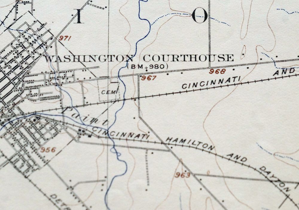
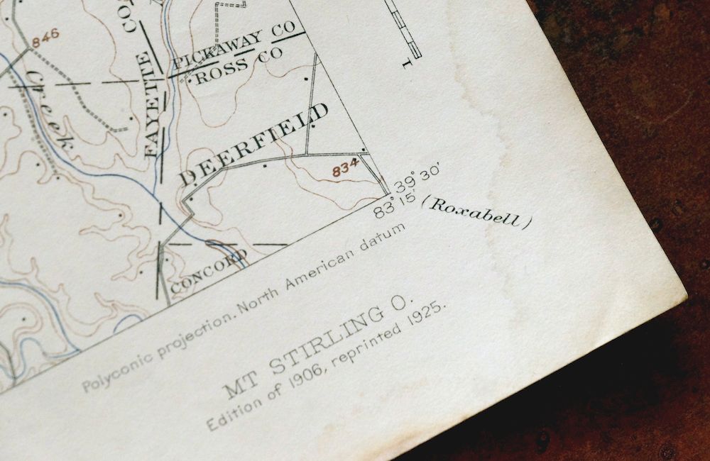
Mount Sterling Ohio Washington Midway USGS Topo Map 1925
$42
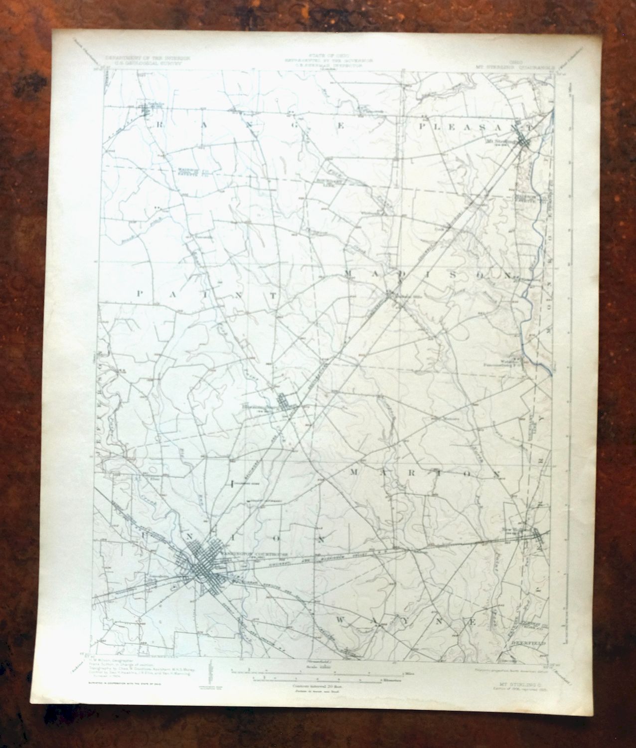
First published in 1906, this USGS 15-minute topographic sheet was printed in 1925 and grades very good, a lightly handled, never-folded sheet with attractive age-toning and a flawless map area. It takes in a stretch of south-central Ohio around Washington Court House, roughly 30 miles southwest of Columbus, with the quad area spanning parts of Fayette, Madison, Pickaway, and Ross counties and including Mount Sterling, Bloomingburg, and New Holland. Engraved in 1906 under geographer H.M. Wilson from a 1904 field survey, it captures the farm country and small towns of the region as mapped in the early twentieth century, and the reverse carries printed reference material. Printed on thick stock and never folded, the sheet lies flat for framing.
In stock
This antique sheet is a 1906 edition of the Mount Sterling Ohio USGS topographic map. It is an authentic 101-year-old 1925 United States Geological Survey print in very good condition.
HOW THIS MAP CAN BE USED
In addition to making a fascinating conversation piece, this sheet would look great in a frame or on display, make a unique and prized gift for anyone interested in this area, be perfect as a reference for genealogy studies or general historical research, or fill that missing piece in your collection.
FEATURES SHOWN ON THE MAP
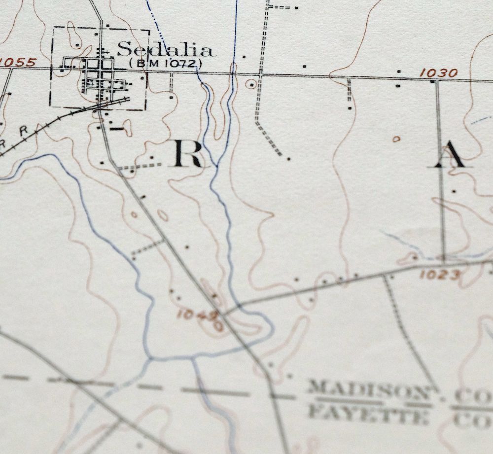
The Mount Sterling 15-minute map shows cities and towns, roads, railroads, rivers, creeks, elevation contour lines, public land survey lines, county, state, and other administrative boundaries as they existed at the time of the survey in 1904. All known structures (houses, businesses, churches, schools, barns, cabins, etc) are also shown, with exceptions in some urban areas, where only landmark buildings may be shown.
A VALUABLE HISTORICAL RECORD
Maps from the 15-minute series for the continental United States are no longer produced or printed by the USGS and original prints are becoming increasingly difficult to find. They are a valuable historical record for an area, as they contain many placenames and features that have been dropped from more recent maps.
Nearby maps
-

Era Ohio South Bloomfield Williamsport USGS Topo Map 1913
$40 Add to cart -

Octa Ohio Sabina Jamestown USGS 15-Min Topo Map 1916 Antique
$46 Add to cart -

South Charleston Ohio Springfield Catawba USGS Topo Map 1927
$50 Add to cart -
Sabina Ohio Leesburg New Vienna USGS Topo Map 1917 Antique
$42 Add to cart -
Xenia Ohio Cedarville Jamestown USGS Topographic Map 1934
$43 Add to cart -
Dayton Ohio Beavercreek Fairborn USGS Topographic Map 1956
$42 Add to cart -
Seaman Ohio West Union West Union USGS Topo Map 1918 Antique
$62 Add to cart -

Garrison Kentucky Portsmouth York USGS Topo Map 1918 Antique
$32 Add to cart -

Pomeroy Ohio Middleport Mason USGS Topo Map 1907 Antique
$37 Add to cart -

Point Pleasant West Virginia Middleport USGS Topo Map 1908
$25 Add to cart -

Parkersburg Ohio Marietta Vienna USGS Topo Map 1912 Antique
$63 Add to cart -

Ravenswood West Virginia New Haven Evans USGS Topo Map 1908
$40 Add to cart -

Kenova Kentucky Louisa Grayson USGS Topo Map 1912 Antique
$54 Add to cart -

Winfield West Virginia Bancroft Southside USGS Topo Map 1908
$37 Add to cart -

Marietta Ohio Wayne NF Devola USGS Topo Map 1912 Antique
$62 Add to cart -

Wayne West Virginia Dunlow Cove Gap USGS Topo Map 1909
$42 Add to cart -

Saint Albans West Virginia Dunbar USGS Topographic Map 1909
$37 Add to cart -

Saint Marys West Virginia Ellenboro Pike USGS Topo Map 1916
$47 Add to cart -

Pocatalico West Virginia Dunbar USGS Topographic Map 1977
$30 Add to cart -

Charleston West Virginia Cross Lanes Rand USGS Topo Map 1914
$75 Add to cart -

Charleston West West Virginia Dunbar USGS Topo Map 1978
$22 Add to cart -

Salyersville Kentucky West Liberty Zag USGS Topo Map 1918
$47 Add to cart -

Peytona West Virginia Marmet Belle USGS Topographic Map 1911
$42 Add to cart -

Warfield West Virginia Pikeville Harts USGS Topo Map 1911
$105 Add to cart