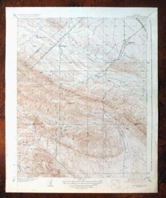
MAP DETAILS | |
|---|---|
| TITLE | Reef Ridge |
| STATE | California |
| LOCATION | Vicinity of Avenal, 60 miles southwest of Fresno |
| SERIES | 7.5-minute |
| SURVEYED | 1933 and 1934 Field Survey |
| GEOGRAPHER | W.B. Upton, Jr. |
| EDITION | 1937 |
| PRINTED | 1937 |
| PRINT NOTES | Thick paper stock |
| SCALE | 1:31680 |
| CONTOUR INTERVAL | 5 feet |
| SHEET DIMENSIONS | 16 1/2 x 20 inches |
| MAP DIMENSIONS | 14 x 17 1/4 inches |
| COVERAGE AREA | 7 x 9 miles |
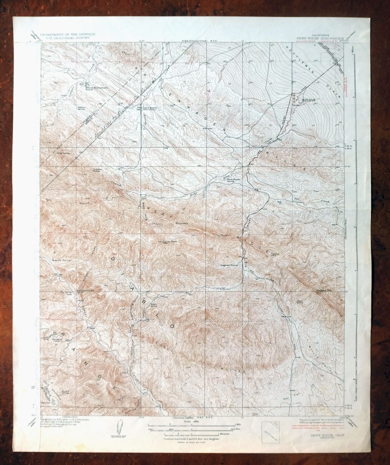
| MAP NOTES | A fascinating historical snapshot of the area south and west of Avenal including the Kettleman Plain, Kreyenhagen Hills, Chalk Buttes, and Diablo Range, surveyed before the modern road system, showing placenames and all known ranches and structures. |
| SHEET CONDITION For maps of this vintage, effort is made to note all visible flaws, no matter how minor. | |
| OVERALL CONDITION | Good |
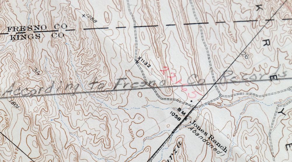
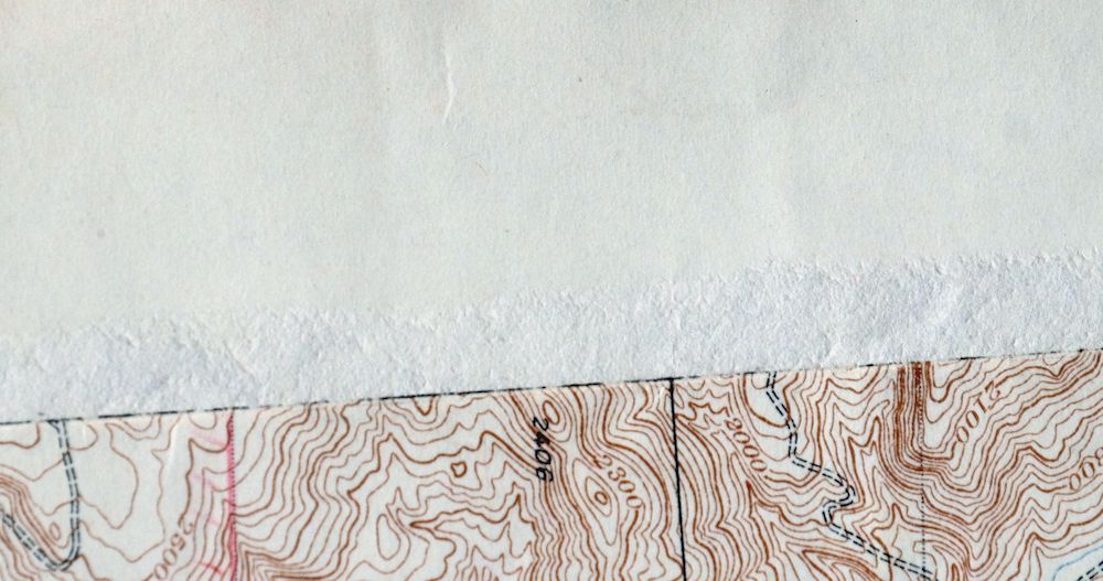
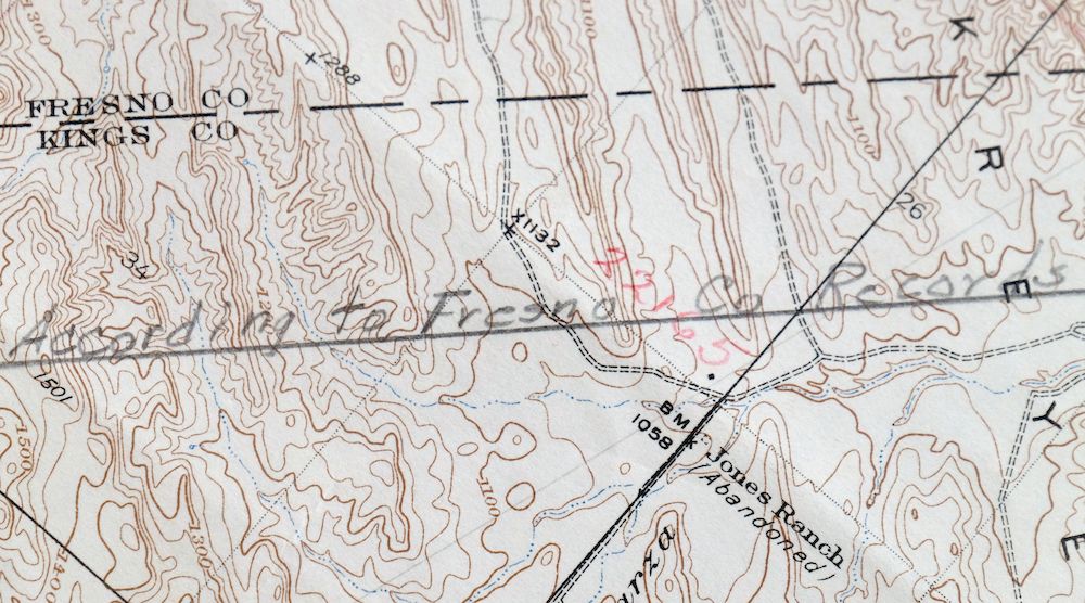
| SHEET NOTES | lightly handled, has foldlines, township and range boundaries traced in red colored pencil |
| MAP AREA | no wear, no blemishes, pencilled transect in northwest corner of sheet, three small red colored pencil notations |
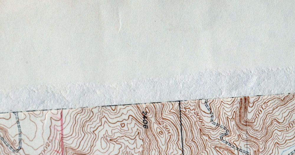
| COLLARS | no markings, very minor blemishes, no edge tears, left collar has a vertically aligned abrasion along western edge of map area |
  | |
| MAP COVERAGE Quadrangle extent overlaid on current basemap. | |
| BACKSIDE LEGEND | |
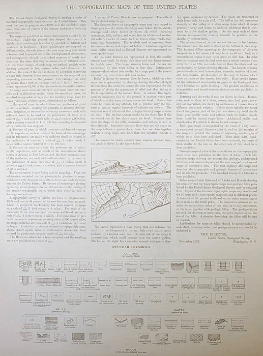 A map summary is printed on the back side of the Reef Ridge sheet similar to the one shown in the picture. It outlines the history, purpose, and status of the USGS mapping program at the time of the printing in 1937. It also provides instructions on how to read contour lines and a description of how they are used to depict the terrain. At the bottom of the page is a legend showing all of the symbols used to represent the cultural, relief, and water features found on the map. | |
| PLACENAMES Depending on map series and survey date, all of the features listed below may not be shown on this map. This list contains features that currently exist or historically existed within the area covered by the map. The list can be used as a reference to determine if this map covers your area of interest. Placenames are listed alphabetically next to each feature type. | |
| CITIES AND TOWNS (CURRENT) | Avenal |
| COUNTIES COVERED | Fresno, Kings, and Monterey |
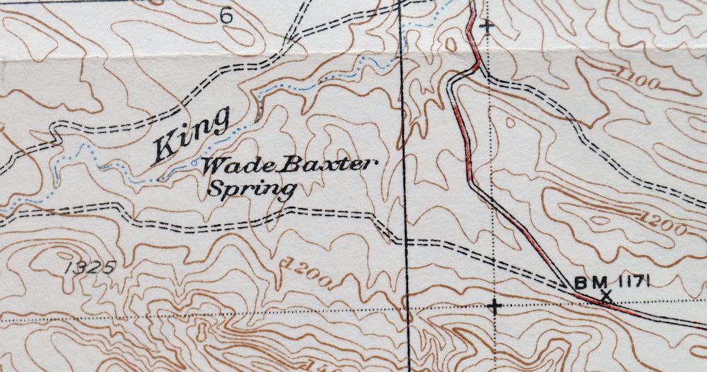
| Locations: Boy Scout Camp, Clark Ranch, Kreyenhagen Ranch, and Segaser Ranch. Mountain Ranges: Chalk Buttes. Mountains, Peaks, and Summits: Flattop, Garza Peak, Ragged Top, Roundtop, Tar Peak, and Zwang Peak. Valleys and Canyons: Baby King Canyon, Big Tar Canyon, Bullpen Canyon, Falls Canyon, Poison Oak Canyon, Sulphur Spring Canyon, and Willow Spring Canyon. Drainages: Baby King Creek. Mines: Avenal Canyon Mine and Dawson Mine. Buildings: Rhodes Cabin. Basins: The Turtle Hole. Ridges: Reef Ridge. Flats: Hay Flat. Springs: Dirty Spring, Double Spring, Roof Spring, Sulphur Spring, Tiger Spring, Wade Baxter Spring, and Willow Spring. | |
| SHIPPING AND RETURNS | |
 This map sheet will be carefully rolled in a sturdy tube and shipped via the US Postal Service. If you find that the sheet you receive is not as described in the listing, you may ship it back to us for a refund of the purchase price. | |
Reef Ridge California Avenal USGS Topo Map 1937 Antique
$16
Printed in 1937, its first year of publication, this antique 7.5-minute USGS topographic sheet is in good condition on thick stock, lightly handled with foldlines and township and range boundaries traced in red colored pencil. Drawn from a 1933 and 1934 field survey by geographer W.B. Upton, Jr., it takes in the country south and west of Avenal, including the Kettleman Plain, the Kreyenhagen Hills, the Chalk Buttes, and part of the Diablo Range, with a 5-foot contour interval capturing the terrain in fine detail. Mapped before the modern road system was in place, it records the placenames and known ranches and structures of the area as they stood in the 1930s, and the reverse carries printed reference material about the mapping program of the day.
In stock
This antique sheet is a 1937 edition of the Reef Ridge California USGS topographic map. It is an authentic 89-year-old United States Geological Survey print in good condition.
HOW THIS MAP CAN BE USED
In addition to making a fascinating conversation piece, this sheet would look great in a frame or on display, make a unique and prized gift for anyone interested in this area, be perfect as a reference for genealogy studies or general historical research, or fill that missing piece in your collection.
FEATURES SHOWN ON THE MAP
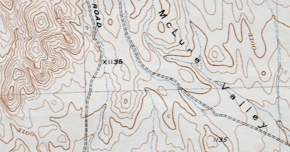
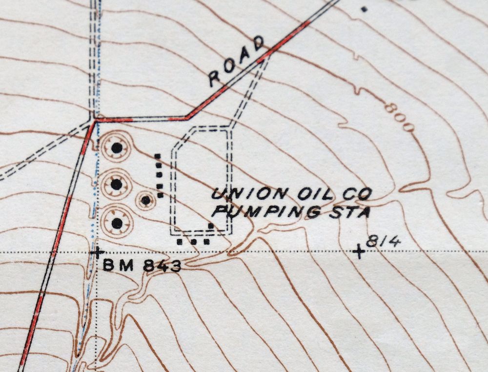
The Reef Ridge 7.5-minute map shows cities and towns, roads, paths, railroads, rivers, creeks, elevation contour lines, public land survey lines, county, state, and other administrative boundaries as they existed at the time of the survey in 1933 and 1934. All known structures (houses, businesses, churches, schools, barns, cabins, etc) are also shown, with exceptions in some urban areas, where only landmark buildings may be shown.
A VALUABLE HISTORICAL RECORD
This map is from the 7.5-minute series, the most detailed series that is widely available from the USGS. The 1937 Reef Ridge map is a valuable historical record for the area. It contains some placenames and features that have been dropped from more recent maps.
Nearby maps
-
Kettleman Plain California Avenal USGS Topo Map 1933 Antique
$20 Add to cart -

El Rico Ranch California Helm Corner USGS Topo Map 1936
$24 Add to cart -

Shale Point California Temblor Range USGS Topo Map 1943
$22 Add to cart -

Reynolds Ranch California Lost Hills USGS Topo Map 1940
$23 Add to cart -
San Ardo California Salinas River USGS Topographic Map 1943
$58 Add to cart -
San Ardo California Salinas River USGS Topographic Map 1943
$36 Add to cart -
Simmler California USGS 15-Min Topographic Map 1943 Vintage
$32 Add to cart -
Englebrecht Ranch California Cantua Creek USGS Topo Map 1947
$17 Add to cart -
Englebrecht Ranch California Cantua Creek USGS Topo Map 1923
$26 Add to cart -
Helm California Fresno Slough Fish Slough USGS Topo Map 1947
$22 Add to cart -

Remnoy California Hamblin Hanford USGS Topo Map 1927 Antique
$30 Add to cart -

Raisin California San Joaquin Valley USGS Topo Map 1947
$38 Add to cart -

Raisin California San Joaquin Valley USGS Topo Map 1947
$44 Add to cart -
Jamesan California Tranquillity USGS Topo Map 1924 Antique
$16 Add to cart -
Jamesan California Tranquillity USGS Topo Map 1947 Vintage
$23 Add to cart -
Kerman California Madera Avenue USGS Topographic Map 1947
$25 Add to cart -

Sausalito School California USGS Topo Map 1929 Antique
$25 Add to cart -
Selma California Fresno Sanger USGS Topo Map 1954 Vintage
$35 Add to cart -
Greenfield California Salinas River USGS Topo Map 1973
$30 Add to cart -
Exeter California Visalia Ivanhoe USGS Topographic Map 1944
$37 Add to cart -

Firebaugh California Mendota USGS Topo Map 1947 Vintage
$18 Add to cart -
Sanger Del Ray Clotho California USGS 7.5-Min Topo Map 1923
$30 Add to cart -
Slater California Delano Shafter USGS Topo Map 1942 Antique
$38 Add to cart -
Richgrove California USGS 7.5-Min Topo Map 1942 Antique
$37 Add to cart