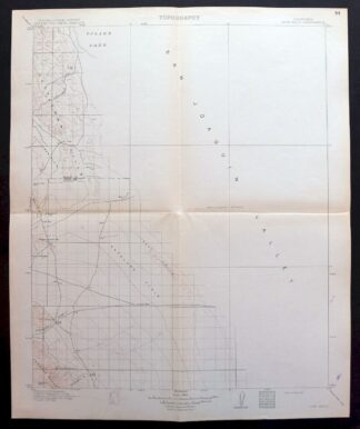
MAP DETAILS | |
|---|---|
| TITLE | Lost Hills |
| STATE | California |
| LOCATION | 50 miles northwest of Bakersfield |
| SERIES | 30-minute |
| SURVEYED | 1907 and 1908 Field Survey |
| GEOGRAPHER | R.B. Marshall |
| ENGRAVED | 1913 |
| EDITION | 1914 |
| PRINTED | 1914 |
| SCALE | 1:125000 |
| CONTOUR INTERVAL | 100 feet |
| SHEET DIMENSIONS | 16 x 20 inches (approximate) |
| MAP DIMENSIONS | 14 1/4 x 17 1/2 inches |
| COVERAGE AREA | 28 x 35 miles |
| MAP NOTES | This sheet is a partial survey. |
| SHEET CONDITION For maps of this vintage, effort is made to note all visible flaws, no matter how minor. | |
| OVERALL CONDITION | Very Good |
| SHEET NOTES | lightly handled, midsheet horizontal and vertical foldlines (1/4) |
| MAP AREA | no markings, no blemishes |
| COLLARS | no wear or tears, very minor blemishes, small inventory notation in upper right collar corner |
| MAP COVERAGE Quadrangle extent overlaid on current basemap. | |
| BACKSIDE LEGEND | |
 A map summary is printed on the back side of the Lost Hills sheet similar to the one shown in the picture. It outlines the history, purpose, and status of the USGS mapping program at the time of the printing in 1914. It also provides instructions on how to read contour lines and a description of how they are used to depict the terrain. At the bottom of the page is a legend showing all of the symbols used to represent the cultural, relief, and water features found on the map. | |
| PLACENAMES Depending on map series and survey date, all of the features listed below may not be shown on this map. This list contains features that currently exist or historically existed within the area covered by the map. The list can be used as a reference to determine if this map covers your area of interest. Placenames are listed alphabetically next to each feature type. | |
| CITIES AND TOWNS (CURRENT) | Devils Den and Lost Hills |
| COUNTIES COVERED | Kern, Kings, and Tulare |
| FEDERAL LAND UNITS | Kern National Wildlife Refuge |
| RIVERS AND STREAMS | Arroyo Ancho, Arroyo Petreo, Arroyo Recodo, Arroyo Robador, Arroyo Tozo, and Poso Creek |
| WATER BODIES | Tulare Lake Bed |
| Locations: Bent Ranch, Beverly Gun Club, Blue Moon Ranch, Burhans Ranch, Carmel Ranch, Carneros Pumping Station, Cole Ranch, Crockett and Gambogy Ranch, Devils Den, Donald Duck Gun Club, Douglas Ranch, Dudley Ranch, El Cinco Gun Club, Estrada Ranch, Gilbert Ranch, Gilbreath Gun Club, Gutzier Ranch, Hacienda Ranch, Hannah Ranch, Houser Camp, Jim Hill Gun Club, Junction Pumping Station, La Porteria, Los Amigos Gun Club, Los Patos Gun Club, Middlewater Pumping Station, Milham Farm, Miramonte Ranch, Myer Ranch, Old Hart Station, Pumping Station Number 2, Pumping Station Number 2A, Sierra Gun Club, Snow Goose Gun Club, South Lake Farms, Superior Gun Club, Temblor Pumping Station, Twisselmann Ranch, and West Camp. Mountain Ranges: Las Alturas, Las Colinas, Las Lomas, and Los Viejos. Mountains, Peaks, and Summits: Badger Hill, Boulder Hill, Broken Hill, El Bulto, Cascajo Hill, El Collado, La Cuba, Emigrant Hill, La Lomica, Los Medanos, La Morra, Mustang Hill, Oyster Hill, Parejo Hill, Pipe Hill, El Rabo, Cerro del Sur, El Vejon, Mount Vernon, and Wagon Wheel Mountain. Valleys and Canyons: Antelope Valley, Bitterwater Valley, Lanfair Valley, Pepper Grass Valley, El Vallejo, and La Zanja. Parks: Kern National Wildlife Refuge and Lost Hills Park. Drainages: Arroyo Ancho, Bitterwater Creek, Bull Slough, Arroyo Del Conejo, Arroyo Culebrino, Devilwater Creek, Arroyo Estrecho, Jerry Slough, Kern River Channel, Media Agua Creek, Arroyo Menudo, Arroyo Del Paso, Arroyo Petreo, Arroyo Pino, Poso Creek, Arroyo Recodo, and Arroyo Tozo. Islands: Pelican Island. Capes: Shale Point. Levees: Liberty Farms West Side Levee. Dams: Collis Levee. Gaps: Avenal Gap, La Brecha, El Portillo, and La Salida. Canals: Gates-Jones Canal, Goose Lake Canal, Governor Edmund G Brown California Aqueduct, Hacienda Spillway, Homeland Canal, Lateral A, Lateral B, Lateral F, Liberty Farms East Canal, Liberty Farms South Canal, Main Canal, Poso Canal, and Wilbur Ditch. Basins: La Escudilla and Welcome Valley. Airports: Gilbreath Brothers Duck Club Airport, Lost Hills Airport, and Paramount Farming Airport. Schools: Lost Hills Elementary School. Ridges: El Arco, Bullwheel Ridge, El Caballete, Dudley Ridge, Las Perillas, Mid Ridge, Middle Dome, Los Morones, Pintojo Ridge, Sand Ridge, Semitropic Ridge, and South Dome. Flats: La Arena, Goose Lake Bed, La Llanura, La Rambla, and El Rincon. Oilfields: Antelope Hills Oil Field, Blackwells Corner Oil Field, Buttonwillow Gas Field, McDonald Anti-Cline Oil Field, North Antelope Hills Oil Field, North Belridge Oil Field, and Trico Gas Field. Plains and Plateaus: Antelope Plain. Wells: Lone Tree Well and Sage Brush Well. Springs: Alex Cook Spring, Napoleon Spring, and Salt Spring. Slopes: La Bajada. | |
| SHIPPING AND RETURNS | |
| This map sheet ships via the US Postal Service. Choose your preferred packaging at eBay checkout: rolled in a sturdy tube, or folded in a padded mailer. If you find that the sheet you receive is not as described in the listing, you may ship it back to us for a refund of the purchase price. | |
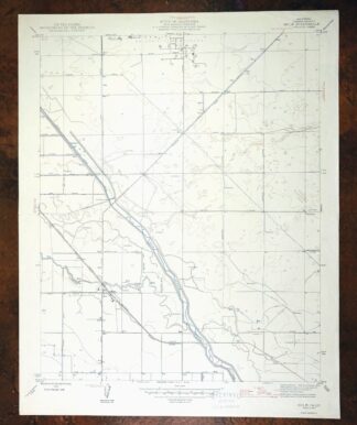
1914 Lost Hills California USGS Topo Map: Kern NWR
$38
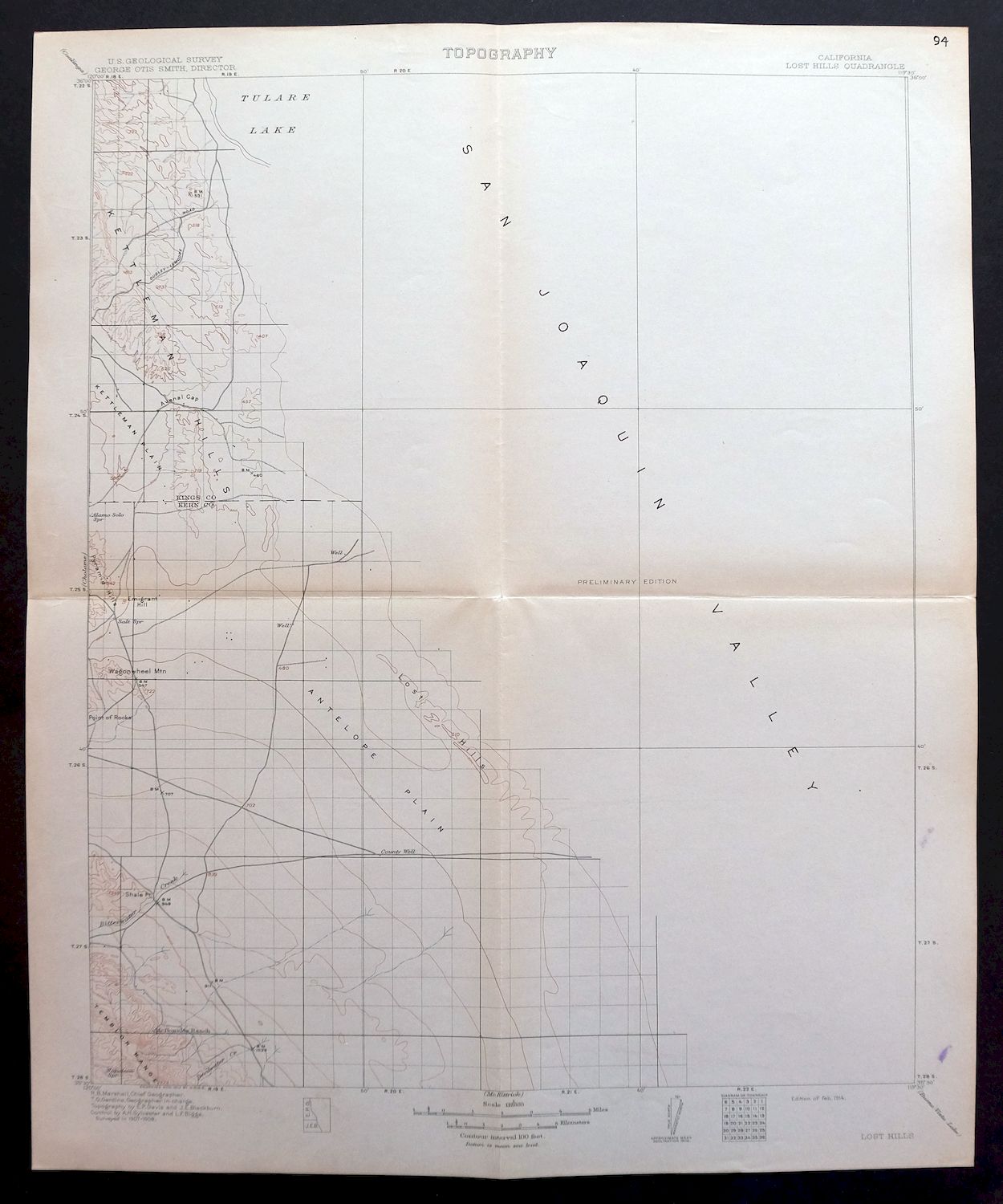
This sheet is a partial survey. Printed in 1914, the same year this edition was first published, it maps the Lost Hills quad in California’s southern San Joaquin Valley on a 30-minute sheet at 1:125,000, surveyed in the field in 1907 and 1908 under geographer R.B. Marshall. The quad area spans parts of Kern, Kings, and Tulare counties about 50 miles northwest of Bakersfield, taking in the town of Lost Hills, the community of Devils Den, and part of the Kern National Wildlife Refuge.
In stock
This antique sheet is a 1914 edition of the Lost Hills California USGS topographic map. It is an authentic 112-year-old United States Geological Survey print in very good condition.
HOW THIS MAP CAN BE USED
In addition to making a fascinating conversation piece, this sheet would look great in a frame or on display, make a unique and prized gift for anyone interested in this area, be perfect as a reference for genealogy studies or general historical research, or fill that missing piece in your collection.
FEATURES SHOWN ON THE MAP
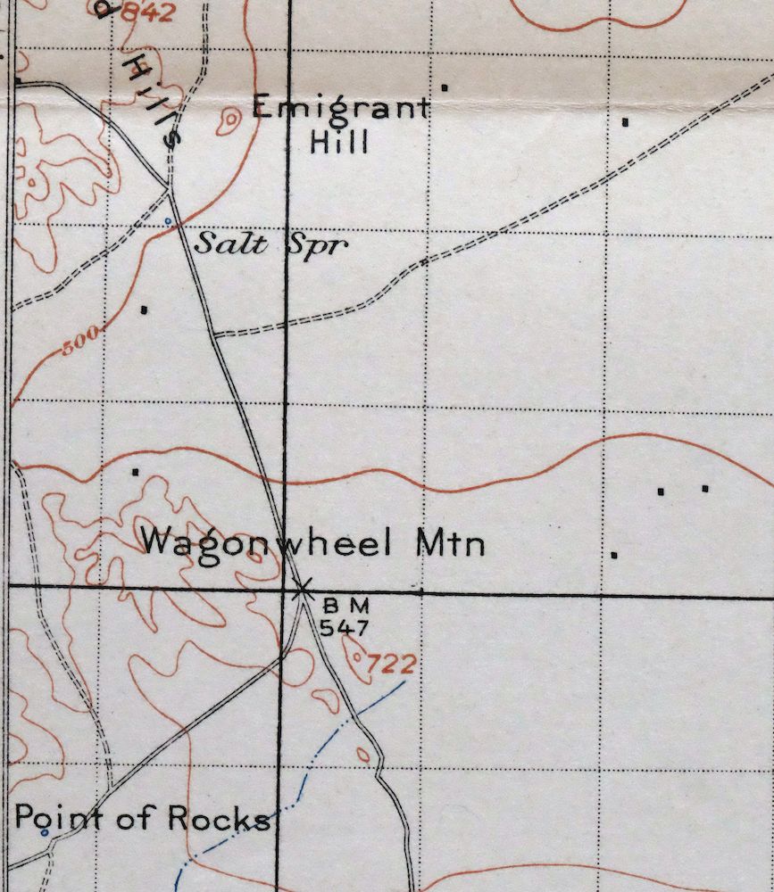
The Lost Hills 30-minute map shows cities and towns, roads, railroads, rivers, creeks, elevation contour lines, public land survey lines, county, state, and other administrative boundaries as they existed at the time of the survey in 1907 and 1908.
A VALUABLE HISTORICAL RECORD
Maps from the USGS 30-minute series have been out of print for many years. They have never been common and original prints are increasingly difficult to find. For areas where the 30-minute map was produced, it is usually the first large-scale survey done by the USGS for that area. These are a valuable historical record, as they contain many placenames and features that have been dropped from more recent series’ and editions.
Nearby maps
-
Guadalupe California Santa Maria Lompoc USGS Topo Map 1905
$52 Add to cart -

Reynolds Ranch California Lost Hills USGS Topo Map 1940
$23 Add to cart -

Shale Point California Temblor Range USGS Topo Map 1943
$22 Add to cart -

El Rico Ranch California Helm Corner USGS Topo Map 1936
$24 Add to cart -
Kettleman Plain California Avenal USGS Topo Map 1933 Antique
$20 Add to cart -
Simmler California USGS 15-Min Topographic Map 1943 Vintage
$32 Add to cart -
Reef Ridge California Avenal USGS Topo Map 1937 Antique
$16 Add to cart -

Sausalito School California USGS Topo Map 1929 Antique
$25 Add to cart -
Slater California Delano Shafter USGS Topo Map 1942 Antique
$38 Add to cart -

Rosedale California Prospero Chrome USGS Topo Map 1941
$42 Add to cart -
Richgrove California USGS 7.5-Min Topo Map 1942 Antique
$37 Add to cart -

Remnoy California Hamblin Hanford USGS Topo Map 1927 Antique
$30 Add to cart -
Stevens California Bakersfield Rosedale USGS Topo Map 1940
$38 Add to cart -

Quincy School California White River USGS Topo Map 1929
$30 Add to cart -
Gosford California Bakersfield USGS Topo Map 1941 Antique
$43 Add to cart -
Gosford California Bakersfield USGS Topo Map 1970 Vintage
$30 Add to cart -
Exeter California Visalia Ivanhoe USGS Topographic Map 1944
$37 Add to cart -
Oil Center California Bakersfield USGS Topo Map 1970 Vintage
$40 Add to cart -
Fairfax School California Lamont USGS Topographic Map 1939
$44 Add to cart -

Raisin California San Joaquin Valley USGS Topo Map 1947
$38 Add to cart -

Raisin California San Joaquin Valley USGS Topo Map 1947
$44 Add to cart -
Ivanhoe California Woodlake USGS Topo Map 1946 Vintage
$34 Add to cart -
Helm California Fresno Slough Fish Slough USGS Topo Map 1947
$22 Add to cart -

Santiago Creek California USGS 7.5-Min Topo Map 1945 Vintage
$23 Add to cart