MAP DETAILS | |
|---|---|
| TITLE | Tusayan |
| STATE | Arizona |
| LOCATION | Vicinity of Winslow, 70 miles east of Flagstaff, AZ |
| SERIES | 60-minute |
| SURVEYED | 1883 Field Survey |
| GEOGRAPHER | Henry Gannett |
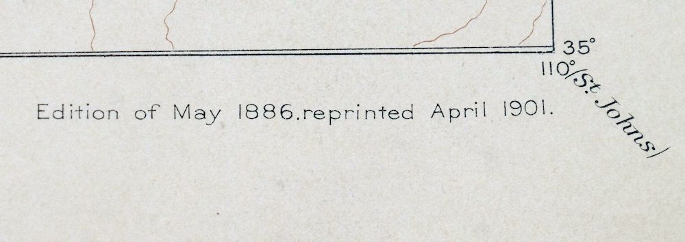
| EDITION | 1886 |
| PRINTED | 1901 |
| PRINT NOTES | Thick paper stock |
| SCALE | 1:250000 |
| CONTOUR INTERVAL | 200 feet |
| SHEET DIMENSIONS | 16 1/2 x 20 inches |
| MAP DIMENSIONS | 14 1/4 x 17 1/2 inches |
| COVERAGE AREA | 56 x 69 miles |
| SOURCE | From the vintage map collection of Art Christiansen, Tempe, Arizona |
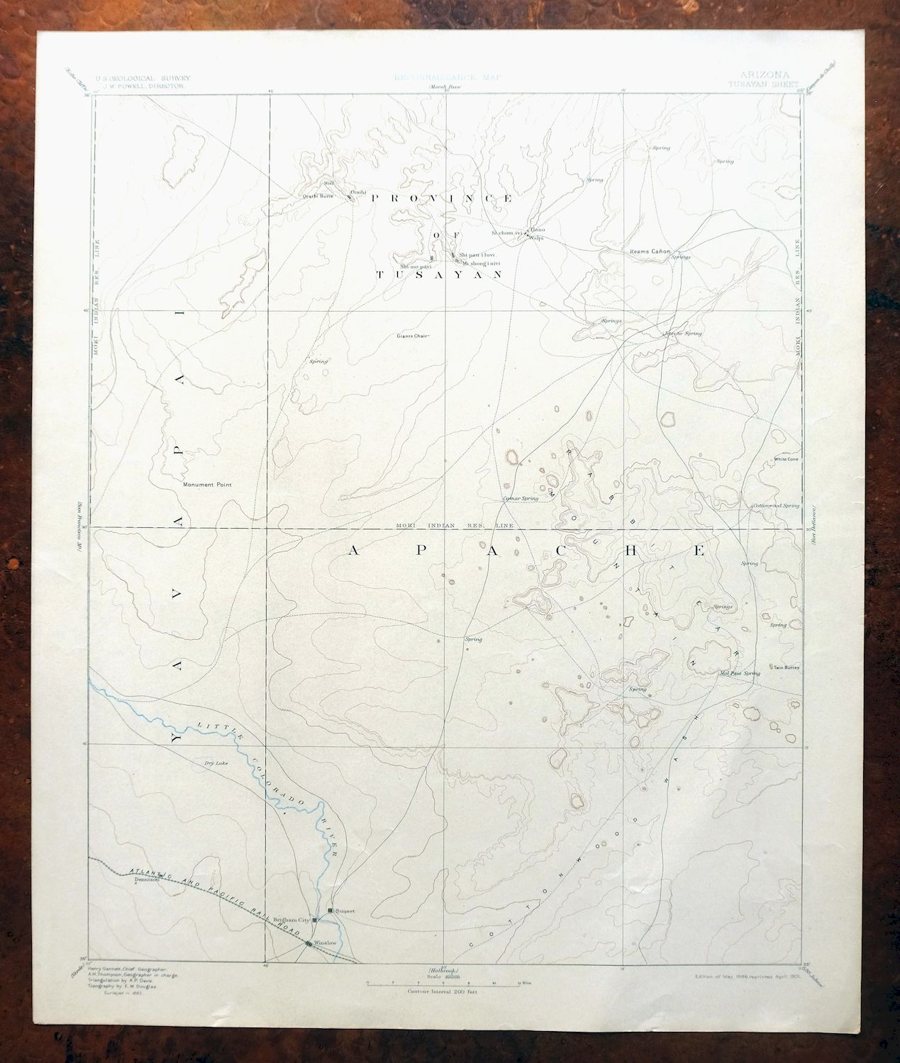
| MAP NOTES | A fascinating snapshot of the Hopi Villages south to Winslow along the Atlantic and Pacific Railroad, part of the historic Powell Survey of the 1880s. |
| SHEET CONDITION For maps of this vintage, effort is made to note all visible flaws, no matter how minor. | |
| OVERALL CONDITION | Very Good |
| SHEET NOTES | lightly handled, never folded, very lightly age-toned sheet |
| MAP AREA | minor wear, no markings, no blemishes |
| COLLARS | very minor wear or tears, no markings, no blemishes |
| MAP COVERAGE Quadrangle extent overlaid on current basemap. | |
| BACKSIDE LEGEND | |
 A map summary is printed on the back side of the Tusayan sheet similar to the one shown in the picture. It outlines the history, purpose, and status of the USGS mapping program at the time of the printing in 1901. It also provides instructions on how to read contour lines and a description of how they are used to depict the terrain. At the bottom of the page is a legend showing all of the symbols used to represent the cultural, relief, and water features found on the map. | |
| PLACENAMES Depending on map series and survey date, all of the features listed below may not be shown on this map. This list contains features that currently exist or historically existed within the area covered by the map. The list can be used as a reference to determine if this map covers your area of interest. Placenames are listed alphabetically next to each feature type. | |
| CITIES AND TOWNS (CURRENT) | Dilkon, First Mesa, Hotevilla, Hotevilla-Bacavi, Jeddito, Keams Canyon, Kykotsmovi Village, Leupp, Leupp Corner, Oraibi, Polacca, Second Mesa, Shongopovi, Winslow, and Winslow West |
| COUNTIES COVERED | Apache, Coconino, and Navajo |
| FEDERAL LAND UNITS | Hopi Indian Reservation and Navajo Indian Reservation |
| RIVERS AND STREAMS | Beshbito Wash, Bidahochi Wash, Billy Wash, Blairs Spring Wash, Bluebird Canyon Wash, Burnt Corn Wash, Canyon Diablo Wash, Corn Creek Wash, Cottonwood Wash, Digger Wash, Dinnebito Wash, Fern Feather Wash, Ha-whi-yalin Wash, Humpy Wash, Jeddito Wash, Joseph City Wash, Keams Canyon Wash, Leroux Wash, Little Colorado River, Lukai Wash, Manila Wash, Mesa Wash, Oraibi Wash, Polacca Wash, Pueblo Colorado Wash, Tanner Wash, Tees Toh Wash, Tse Chizzi Wash, Wepo Wash, and Whe-yol-da-sah Wash |
| WATER BODIES | Bighams Lake and Tobenayoli Pond |
| Locations: Awatobi, Black Rock Ranch, Borderland Trading Post, Bidahochi Trading Post, Five Houses, Hopi Cultural Center, Indian Spring, Kit Carson Inscription, Lewis Well, Meteor Crater Ranch, Moqui Pueblos, North Park Plaza Shopping Center, Old Leupp Trading Post, Polacca Trading Post, Rincon Ranch, Seba Dalkai, Sikyatki Ruins, Sunlight Mission, Sunrise Trading Post, and V K Windmill. Areas: Little Water and Tusayan. Reserves: Hopi Indian Reservation. Mountains, Peaks, and Summits: Adams Butte, Antelope Mesa, Arrowhead Butte, Bad Medicine Butte, Bell Butte, Black Butte, Blue Point, Bobcat Butte, Betony Butte, Bidahochi Butte, Black Rock, Castle Butte, Cave Mountain, Chezhin Chotah Butte, Chimney Butte, Coal Mine Mesa, Cockscomb Butte, Corn Rock, Deshgish Butte, Dilkon Hill, Echo Spring Mountain, Edge Butte, Egloffstein Butte, Elephant Butte, Finger Point Rock, First Flat Mesa, First Mesa, Five Buttes, Flat Butte, Flat Mesa, Flat Top Butte, Flying Butte, French Butte, Garces Mesas, Gray Mesa, Hauke Mesa, Haystack Butte, Hennessy Buttes, Horse Butte, Howell Mesa, Hunters Point, Ives Mesa, Kachina Points, Kiiqo, Leaf Hill, Lee Mountain, Little Star Mountain, Lone Cottonwood Butte, Long Butte, Lost Gun Point, Low Mountain, Malpais Mesa, Marcou Mesa, Mexican Rest Peak, Mitten Peak, Montezumas Chair, Mowa`api, Newberry Mesa, Nipple Butte, No Trail Mesa, Oraibi Butte, Oraibi Mesa, Padilla Mesa, Patangvostuyqa, Pyramid Butte, Ram Butte, Red Cheek Butte, Red Clay Mesa, Rotten Bananas Butte, Round Butte, Round Top, Saddle Butte, Sand Hills, Second Flat Mesa, Second Mesa, Seed Hill, Sharp Butte, Sheep Butte, Shonto Butte, Snake Butte, Standing Horse Mesa, Star Mountain, Stephen Butte, Sun Altar, Sunflower Butte, Taawaki, Tesihim Butte, Third Mesa, Tovar Mesa, Tucker Mesa, Turkey Track Butte, Turquoise Butte, Twentieth Street School, Twin Buttes, Twin Peaks, White Cone Peak, Wide Butte, Wood Chop Mesa, and Yellow Butte. Arroyos and Washes: Canyon Diablo Wash, Oraibi Wash, Polacca Wash, Pueblo Colorado Wash, and Whe-yol-da-sah Wash. Valleys and Canyons: Bird Springs Wash, Bluebird Canyon, Cienega Canyon, Cow Canyon, Coyote Wash, Canyon Diablo, Echo Canyon, Gleshbito Wash, Johns Draw, Keams Canyon, Lokasakad Wash, Mackelprang Wash, Na Ah Tee Canyon, Na Ah Tee Wash, One Cottonwood Canyon, Owl Box Canyon, Salt Seeps Wash, Saltwater Wash, Snowbird Canyon, Sunflower Butte Wash, Talahogan Canyon, Tucker Flat Wash, Wepo Valley, and Wind Whistle Canyon. Parks: Hopi Tribe Picnic Area, Keams Canyon Campground, Keams Canyon Community Park, Meteor Crater Rest Area, Old Orchard Picnic Ground, Tug-Of-War Historical Marker, and Winslow City Park. Drainages: Billy Wash, Blairs Spring Wash, Bluebird Canyon Wash, Beshbito Wash, Bidahochi Wash, Burnt Corn Wash, Cline Creek, Corn Creek Wash, Cottonwood Wash, Digger Wash, Fern Feather Wash, Ha-whi-yalin Wash, Humpy Wash, Jeddito Wash, Keams Canyon Wash, Lukai Wash, Talahogan Wash, Tees Toh Wash, Tse Chizzi Wash, and Wepo Wash. Hospitals: Department of Health Indian Hospital. Lakes and Ponds: Lake Maho, Mud Lake, Tobenayoli Pond, and Tolani Lakes. Buildings: Bacobi Community Building, Hopi Tribal Offices, Hopi Tribal Offices - Polacca, Oraibi Community Building, Shipolovi Community Building, Shongopavi Community Building, Winslow City Hall, Winslow Civic Center, Winslow Memorial Hospital, Winslow Public Library, and Winslow Railroad Station. Dams: Backbone Dam, Boulder Dam, Dry Dam, Navajo Lookout Dam, Red Clay Dam, Twin Dams, and White Clay Dam. Crossings: Dennison Interchange, Leupp Traffic Interchange, and Sunshine Overpass. Bluffs: Blue Point, Coal Point, Crows Nest Point, Eagle Nest Point, Elbow Point, Gum Point, Horseshoe Point, Meat Point, Monument Point, Mots'ovi, Smoke Signal Point, Up Rock Point, and White Point. Bridges: Cottonwood Wash Bridge. Basins: Rincon Basin. Airports: Chilson Landing Strip, Low Mountain Airport, Polacca Airport, Sunrise Airfield, Transwestern Pipeline Number Three Airport, and Winslow Municipal Airport. Schools: Bonnie Brennan Elementary School, Coal Mine Mesa School, Dilcon School, Dilkon Indian Mission, Hopi Mission School, Hotevilla School, Jefferson Elementary School, Keams Canyon Boarding School, Keams Canyon Day School, Lincoln Elementary School, Oraibi Day School, Polacca Day School, Roosevelt Elementary School, Saint Josephs Catholic School, Seba Dalkai, Second Mesa Day School, Tolani Lake Day School, Tribal Headstart Preschool, Washington Elementary School, Winslow High School, Winslow Job Corps Civilian Conservation Center, and Winslow Junior High School. Ridges: Five Houses Butte, Gray Ridge, Pillow Ridge, Spring Ridge, Toltec Divide, and Tsin Naan Tee. Reservoirs and Tanks: Badland Tank, Baldwin Tank, Beacon Tank, Bighams Lake, Betony Reservoir, Brown Tanks, Bull Tank, Fern Feather Tank, Four Section Tank, Hiway Tank, Humpy Tank, Joseph City Tank, Lee Mountain Tanks, Marshall Tank, Pitchfork Tank, Sand Tank, Spurlock Tank, Two Section Tank, and Wagon Lake Tank. Flats: Tucker Flat. Towers: KINO-AM (Winslow), KRIM-FM (Winslow), and KTDX-FM (Winslow). Plains and Plateaus: Painted Desert. Wells: Beetso Well, Beacon Well, Cottonwood Well, Crown Point Well, Deep Well, Dennison Well, Dog Well, First Day of Summer Well, Flute Well, Foster Well, Good Well, Gravel Dug Well, Humpy Camp Well, Lamb Well, Maha Well, Marshall Well, Nest Well, New Well, Ogilvie Well, Pruneville Well, Redrock Spring Well, Salt Well, Sand Valley Well, Sand Well, South Well, Spencer Well, Sunflower Butte Well, Sweet Water Well, Tsosie Well, Wash Dug Well, West Well, and Wolf Pass Well. Pillars: Coyote Joe Rock, Giants Chair, Jagged Rock, Red Needle, Sa'lako, and Standing Rocks. Springs: Aqpi, Asayva, Assan Dechali Spring, Awatovi Spring, Bell Butte Spring, Bird Springs, Black Butte Spring, Black Rock Spring, Blairs Spring, Bluebird Spring, Bean Spring, Bidahochi Spring, Brownrock Spring, Burro Spring, Buzzard Spring, Cat Spring, Cave Spring, Chandler Springs, Chili Spring, Chimney Butte Spring, Clay Spring, Comar Spring, Corner Spring, Cottonwood Spring, Coyote Spring, Coyote Springs, Crazy Water Spring, Dalkai Spring, Denezipi Spring, Dinnebito Spring, Dog Spring, Doh Halian, Donkey Spring, Dove Spring, Drag Spring, Driftwood Spring, Echo Spring, Flower Spring, Fly Spring, Goat Spring, Gopher Spring, Grooming Spring, Hast-clog-toh, Hock Spring, Honey Spring, Hoonawpa, Horse Spring, Hotevilla Spring, Howiipi, Jeddito Spring, Joseph City Spring, Jucqa-va, Kalbito Springs, Lemeva, Little Burro Spring, Lokasakad Spring, Lone Cottonwood Spring, Lukai Spring, Mackelprang Spring, Malpais Spring, Mexican Rest Spring, Middle Spring, Mike Spring, Mountainside Spring, Na Ah Tee Canyon Spring, Onion Spring, Owl Spring, Rabbit Spring, Rainbow Spring, Ram Spring, Red Cheek Spring, Red Clay Spring, Rock Ledge Spring, Round Butte Spring, Ruins Spring, Sactone Spring, Salt Seeps, Salt Water Seep, Sand Hill Spring, Sand Spring, Seba Dalkai Spring, Shaded Spring, Shanetoh Spring, Sheep Spring, Shonto Spring, Shungopavi Spring, Siwukva, Skunk Springs, Snowbird Spring, Spider Spring, Stinkbug Spring, Sunshine Spring, Suviva, Talahogan Spring, Tawapa Spring, Tees Toh Spring, Tishepi Spring, Tode Baho Tsiquini, Toh Cathlie Cod, Toreva Spring, Tree Spring, Tse Chizzi Spring, Tse Gis Toh, Tsi Na Jinnie Spring, Tucker Spring, Wepo Spring, Westover Spring, Whisky Spring, White Cone Spring, White Spring, Whitewall Springs, and Wingva. | |
| SHIPPING AND RETURNS | |
 This map sheet will be carefully rolled in a sturdy tube and shipped via the US Postal Service. If you find that the sheet you receive is not as described in the listing, you may ship it back to us for a refund of the purchase price. | |
Tusayan Arizona Winslow Dilkon USGS Topo Map 1901 Antique
$65
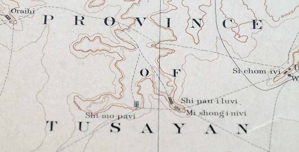
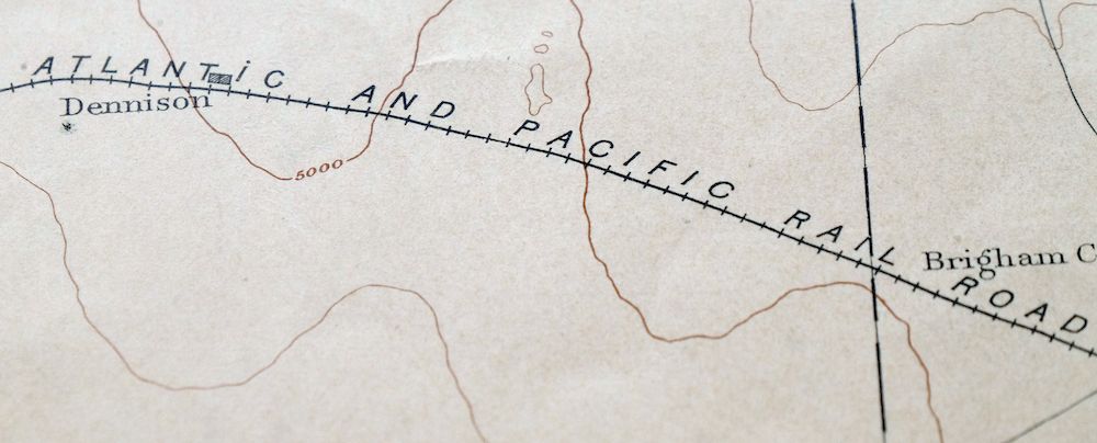
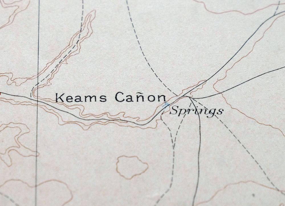
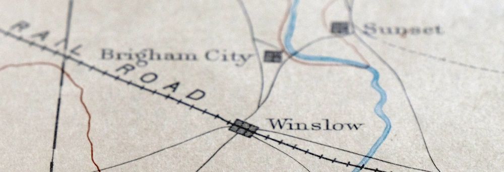
This USGS Reconnaissance Topo Map is an 1886 edition printed in 1901, a very good, thick-stock sheet that was never folded and shows only very light age-toning. At a scale of 1:250,000, it takes in a broad stretch of northern Arizona from the Hopi Villages south to Winslow along the Atlantic and Pacific Railroad, with the quad area including Oraibi, Polacca, Keams Canyon, Leupp, and portions of the Navajo and Hopi reservations. Drawn from an 1883 field survey under geographer Henry Gannett and part of the historic Powell Survey of the 1880s, it records this high desert country as it was mapped in the reconnaissance era, and comes from the vintage map collection of Art Christiansen of Tempe, Arizona. The reverse carries printed reference material on the mapping program and how to read the contours.
In stock
This antique sheet is an 1886 edition of the Tusayan Arizona USGS topographic map. It is an authentic 125-year-old 1901 United States Geological Survey print in very good condition.
HOW THIS MAP CAN BE USED
In addition to making a fascinating conversation piece, this sheet would look great in a frame or on display, make a unique and prized gift for anyone interested in this area, be perfect as a reference for genealogy studies or general historical research, or fill that missing piece in your collection.
FEATURES SHOWN ON THE MAP
The Tusayan 60-minute map shows cities and towns, roads, railroads, rivers, creeks, elevation contour lines, public land survey lines, county, state, and other administrative boundaries as they existed at the time of the survey in 1883.
A VALUABLE HISTORICAL RECORD
Maps from the 60-minute series have been out of print for many years. They have never been common and original prints are increasingly difficult to find. Only about 85 quadrangles (covering about 10% of the continental US) were mapped in this series, all in western states. For the limited areas where the 60-minute map was produced, it was generally a product of the very first USGS survey done for that area. These quadrangles are a valuable historical record, as they contain many placenames and features that have been dropped from more recent series’ and editions.
Nearby maps
-
Marsh Pass Arizona Kayenta Pinon USGS Topo Map 1922 Antique
$74 Add to cart -
Echo Cliffs Arizona Tuba City Page USGS 60-Min Topo Map 1913
$48 Add to cart -

Diamond Creek Arizona Grand Canyon Nelson USGS Topo Map 1927
$130 Add to cart -
Camp Mohave Arizona El Dorado WSA Kingman USGS Topo Map 1920
$74 Add to cart -
Beaver Utah Dixie NF Fishlake NF USGS Topo Map 1921 Antique
$63 Add to cart -
Egloffstein Butte Arizona Hopi Navajo USGS Topo Map 1968
$37 Add to cart -
Leupp Arizona USGS 15-Min Topographic Map 1959 Vintage
$44 Add to cart -
Winslow Arizona USGS 15-Min Topographic Map 1958 Vintage
$37 Add to cart -
Oraibi Arizona Second Mesa Shongopovi USGS Topo Map 1968
$34 Add to cart -
Polacca Arizona First Mesa Second Mesa USGS Topo Map 1967
$39 Add to cart -
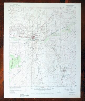
Holbrook Arizona Woodruff USGS 15-Min Topo Map 1969 Vintage
$36 Add to cart -

Petrified Forest Arizona USGS 15-Min Topo Map 1956 Vintage
$62 Add to cart -
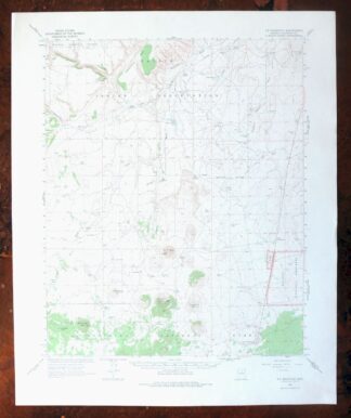
S P Mountain Arizona USGS 15-Min Topo Map 1975 Vintage
$34 Add to cart -
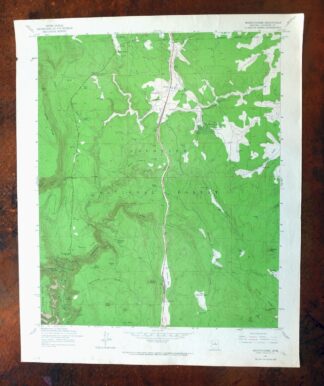
Mountainaire Arizona Coconino NF USGS Topo Map 1964 Vintage
$36 Add to cart -
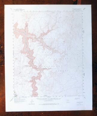
Blue Spring Arizona USGS 15-Min Topographic Map 1978 Vintage
$44 Add to cart -
Ebert Mountain Arizona Red Mountain USGS Topo Map 1969
$36 Add to cart -
Heber Arizona Overgaard Mogollon Rim USGS Topo Map 1982
$45 Add to cart -
Clay Springs Arizona Pinedale Aripine USGS Topo Map 1971
$34 Add to cart -
Hunt Arizona USGS 15-Min Topographic Map 1974 Vintage
$30 Add to cart -
Woods Canyon Arizona Sitgreaves NF USGS 15-Min Topo Map 1963
$35 Add to cart -
Buell Park Arizona Fort Defiance Navajo USGS Topo Map 1967
$46 Add to cart -
Promontory Butte Arizona Coconino NF USGS Topo Map 1960
$46 Add to cart -

Camp Verde Arizona Cottonwood Sedona USGS Topo Map 1965
$56 Add to cart -
Valle Arizona Kaibab Quivero USGS Topo Map 1964 Vintage
$28 Add to cart
