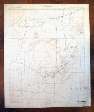
MAP DETAILS | |
|---|---|
| TITLE | Petrified Forest |
| STATE | Arizona |
| LOCATION | Petrified Forest National Park, 15 miles east of Holbrook |
| SERIES | 15-minute |
| SURVEYED | 1910 Field Survey |
| GEOGRAPHER | R.B. Marshall |
| ENGRAVED | 1912 |
| EDITION | 1912 |
| PRINTED | 1912 |
| SCALE | 1:62500 |
| CONTOUR INTERVAL | 25 feet |
| SHEET DIMENSIONS | 16 1/2 x 20 inches |
| MAP DIMENSIONS | 14 3/8 x 17 1/2 inches |
| COVERAGE AREA | 14 x 17 miles |
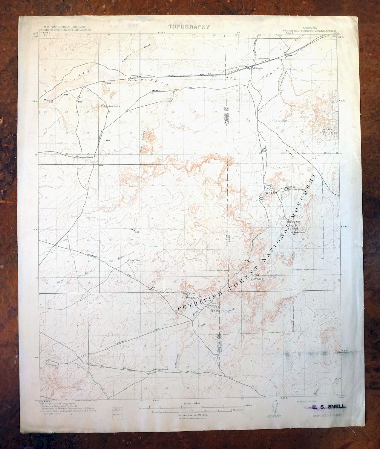
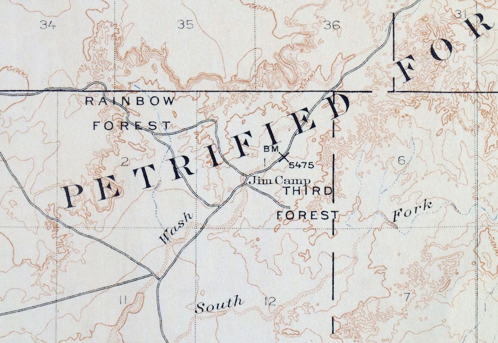
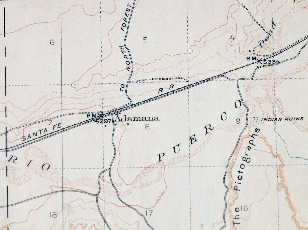
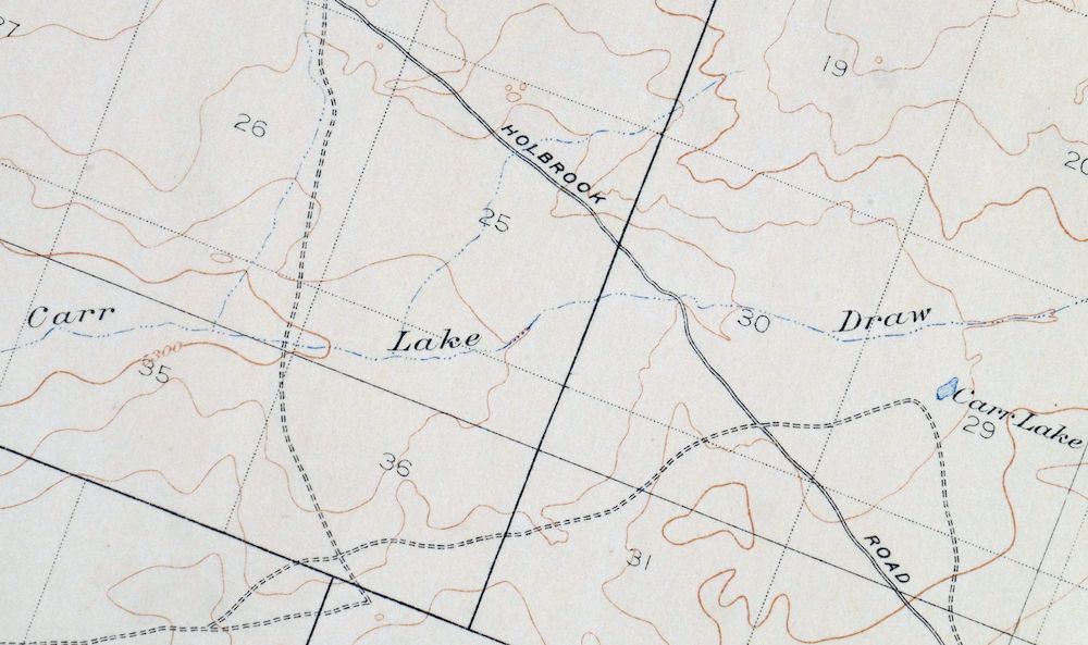
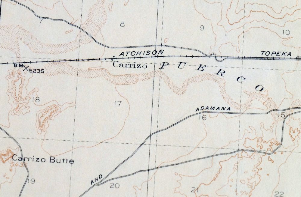
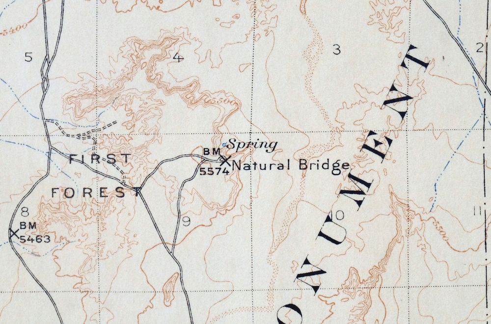
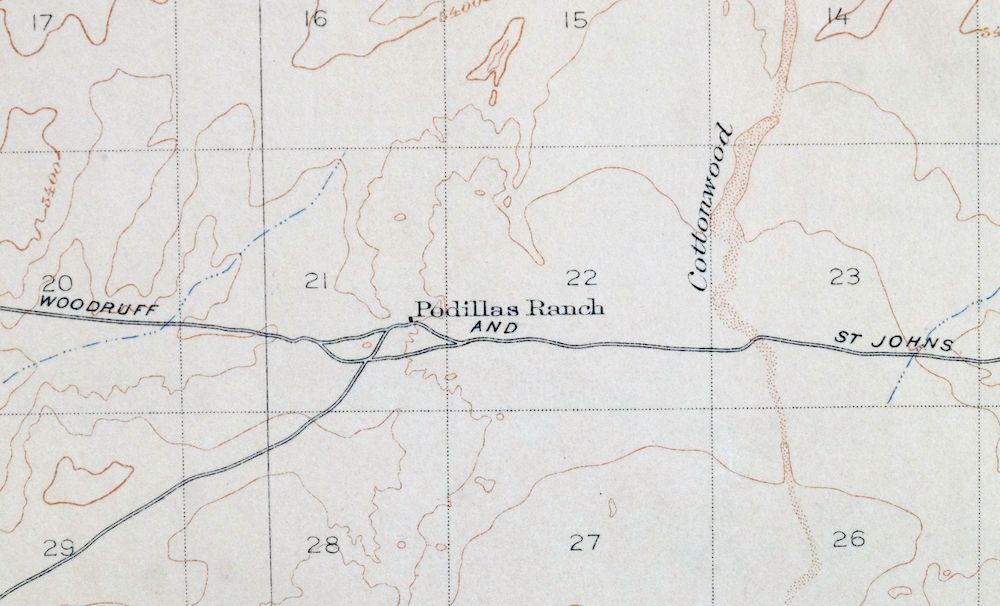
| MAP NOTES | A historical snapshot of the Petrified Forest area, surveyed before Route 66 and long before Interstate 40, showing overland routes, rail lines, ranches, early placenames, and all structures known at the time of survey. |
| SHEET CONDITION For maps of this vintage, effort is made to note all visible flaws, no matter how minor. | |
| OVERALL CONDITION | Good |
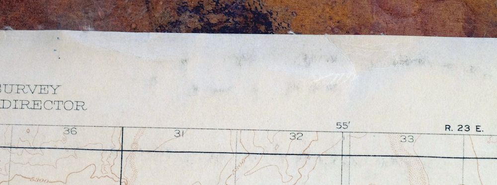
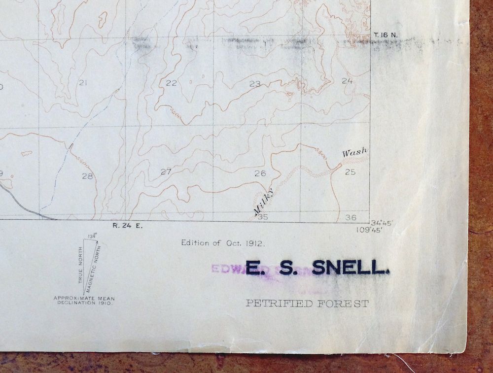
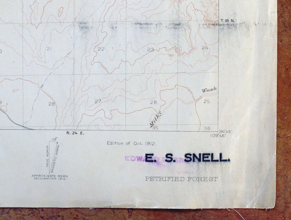
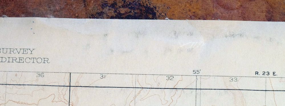
| SHEET NOTES | lightly handled, never folded, has original canvas-backing, attractively age-toned paper, blemish in lower right quadrant of sheet |
| MAP AREA | no wear, no markings |
| COLLARS | very minor wear or tears, no markings, inventory stamp in bottom right collar |
  | |
| MAP COVERAGE Quadrangle extent overlaid on current basemap. | |
| PLACENAMES Depending on map series and survey date, all of the features listed below may not be shown on this map. This list contains features that currently exist or historically existed within the area covered by the map. The list can be used as a reference to determine if this map covers your area of interest. Placenames are listed alphabetically next to each feature type. | |
| NOTABLE PLACES | Blue Forest, Rainbow Forest, and The Flattops |
| COUNTIES COVERED | Apache and Navajo |
| FEDERAL LAND UNITS | Petrified Forest National Park and Petrified Forest National Park Wilderness |
| RIVERS AND STREAMS | Cottonwood Wash, Dead Wash, Dry Creek, East Fork Dry Creek, East Twin Wash, Jim Camp Wash, Lithodendron Wash, Little Lithodendron Wash, Mexican Hollow Wash, Milky Wash, Ninemile Wash, Puerco River, Teds Wash, West Twin Wash, and Wild Cow Wash |
| WATER BODIES | Delaney Tank |
| Locations: Agate House and Ortegas Ranch. Areas: Blue Mesa, Crystal Forest, First Forest, Giant Logs, Long Logs, and Rainbow Forest. Mountains, Peaks, and Summits: The Battleship, Carrizo Butte, The Flattops, and Twin Buttes. Drainages: Dead Wash, Dry Creek, East Fork Dry Creek, East Twin Wash, Jim Camp Wash, Lithodendron Wash, Little Lithodendron Wash, Ninemile Wash, Teds Wash, Twin Wash, West Twin Wash, and Winsor Wash. Lakes and Ponds: Carr Lake. Crossings: Adamana Interchange. Bridges: Milky Wash Bridge. Natural Arches: Agate Bridge and Keystone Bridge. Ridges: Ramsey Slide. Reservoirs and Tanks: Broken Dam Tank, Carr Lake Tank, Dead Cow Tank, Delaney Tank, Dobell Tank, Dry Creek Tanks, Gray Tank, Higway Tank, Line Tank, Lorin Farr Tank, Lower Delaney Tank, Middle Tank, Ortega Tank, Padilla Tank, Petrified Forest Tank, Puerco Tank, Ramsey Slide Tank, Rock Tank, Salt Well Tank, Wallace Tank, and Wooden Tank. Wells: Jensen Well, Partnership Well, and Salt Well. Pillars: The Haystacks, Newspaper Rock, and The Tepees. | |
| SHIPPING AND RETURNS | |
 This map sheet will be carefully rolled in a sturdy tube and shipped via the US Postal Service. If you find that the sheet you receive is not as described in the listing, you may ship it back to us for a refund of the purchase price. | |
Petrified Forest Arizona USGS Topographic Map 1912 Antique
$65
A historical snapshot of the Petrified Forest area, surveyed before Route 66 and long before Interstate 40, showing overland routes, rail lines, ranches, early placenames, and all structures known at the time of survey. A 15-minute USGS topographic sheet of the Petrified Forest quadrangle in eastern Arizona, printed in 1912, its first year, from a 1910 field survey under geographer R.B. Marshall. It covers a stretch east of Holbrook straddling Apache and Navajo counties, taking in portions of what is now Petrified Forest National Park. The age-toned paper carries its original canvas backing and has never been folded.
In stock
This antique sheet is a 1912 edition of the Petrified Forest Arizona USGS topographic map. It is an authentic 114-year-old United States Geological Survey print in good condition.
HOW THIS MAP CAN BE USED
In addition to making a fascinating conversation piece, this sheet would look great in a frame or on display, make a unique and prized gift for anyone interested in this area, be perfect as a reference for genealogy studies or general historical research, or fill that missing piece in your collection.
FEATURES SHOWN ON THE MAP
The Petrified Forest 15-minute map shows cities and towns, roads, railroads, rivers, creeks, elevation contour lines, public land survey lines, county, state, and other administrative boundaries as they existed at the time of the survey in 1910. All known structures (houses, businesses, churches, schools, barns, cabins, etc) are also shown, with exceptions in some urban areas, where only landmark buildings may be shown.
A VALUABLE HISTORICAL RECORD
Maps from the 15-minute series for the continental United States are no longer produced or printed by the USGS and original prints are becoming increasingly difficult to find. They are a valuable historical record for an area, as they contain many placenames and features that have been dropped from more recent maps.
Nearby maps
-

Petrified Forest Arizona USGS 15-Min Topo Map 1956 Vintage
$62 Add to cart -
Holbrook Arizona Woodruff USGS 15-Min Topo Map 1969 Vintage
$36 Add to cart -
Hunt Arizona USGS 15-Min Topographic Map 1974 Vintage
$30 Add to cart -
Clay Springs Arizona Pinedale Aripine USGS Topo Map 1971
$34 Add to cart -
Winslow Arizona USGS 15-Min Topographic Map 1958 Vintage
$37 Add to cart -
Show Low Arizona Pinetop-Lakeside USGS Topo Map 1972 Vintage
$40 Add to cart -
Egloffstein Butte Arizona Hopi Navajo USGS Topo Map 1968
$37 Add to cart -
Cibecue Arizona Sitgreaves NF USGS Topo Map 1963 Vintage
$32 Add to cart -
Leupp Arizona USGS 15-Min Topographic Map 1959 Vintage
$44 Add to cart -
Woods Canyon Arizona Sitgreaves NF USGS 15-Min Topo Map 1963
$35 Add to cart -
Chediski Peak Arizona Cibecue USGS Topo Map 1963 Vintage
$32 Add to cart -

Tusayan Arizona Winslow Dilkon USGS Topo Map 1901 Antique
$65 Add to cart -
Polacca Arizona First Mesa Second Mesa USGS Topo Map 1967
$39 Add to cart -
Promontory Butte Arizona Coconino NF USGS Topo Map 1960
$46 Add to cart -
Oraibi Arizona Second Mesa Shongopovi USGS Topo Map 1968
$34 Add to cart -
Buell Park Arizona Fort Defiance Navajo USGS Topo Map 1967
$46 Add to cart -
Hannagan Meadow Arizona Apache NF USGS Topo Map 1960 Vintage
$38 Add to cart -
Pine Arizona Payson Sun Valley USGS Topo Map 1940 Antique
$45 Add to cart -
Blue Arizona Apache NF USGS 15-Min Topo Map 1963 Vintage
$52 Add to cart -
Payson Arizona Sun Valley Gisela USGS Topo Map 1965 Vintage
$64 Add to cart -

1965 Payson Arizona USGS Topo Map: Gisela (1936 Edition)
$50 Add to cart -
Mountainaire Arizona Coconino NF USGS Topo Map 1964 Vintage
$36 Add to cart -

Camp Verde Arizona Cottonwood Sedona USGS Topo Map 1965
$56 Add to cart -
Roosevelt Arizona Four Peaks Tonto Basin USGS Topo Map 1956
$52 Add to cart