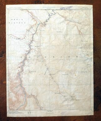
MAP DETAILS | |
|---|---|
| TITLE | Echo Cliffs |
| STATE | Arizona |
| LOCATION | Grand Canyon National Park, vicinity of Tuba City, 20 miles west of Kaibito |
| SERIES | 60-minute |
| SURVEYED | 1871 through 1890 Field Survey |
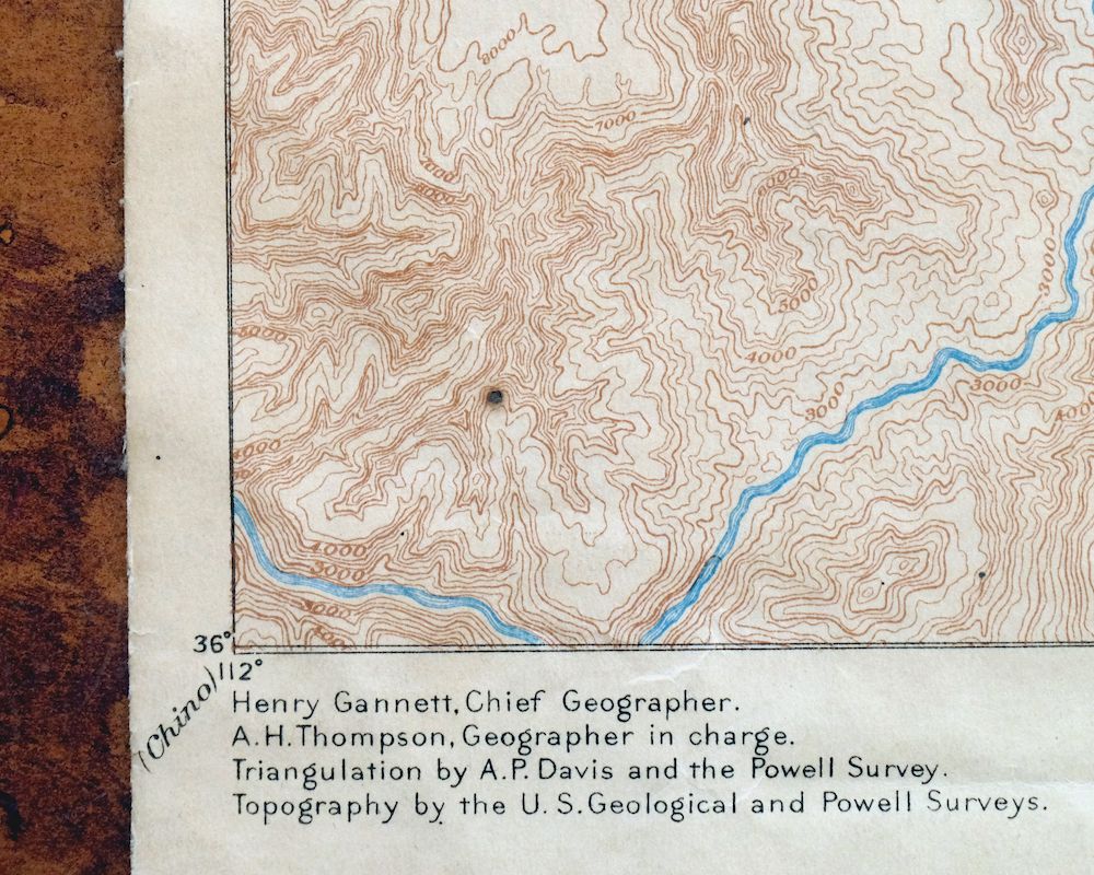
| GEOGRAPHER | Powell Survey |
| EDITION | 1891 |
| PRINTED | 1913 |
| SCALE | 1:250000 |
| CONTOUR INTERVAL | 250 feet |
| SHEET DIMENSIONS | 15 1/4 x 19 1/2 inches |
| MAP DIMENSIONS | 14 1/8 x 17 1/2 inches |
| COVERAGE AREA | 55 x 69 miles |
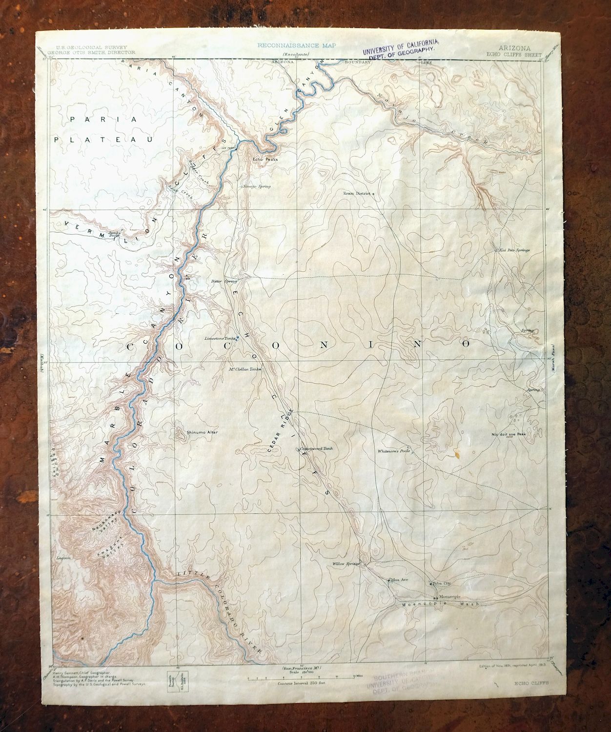
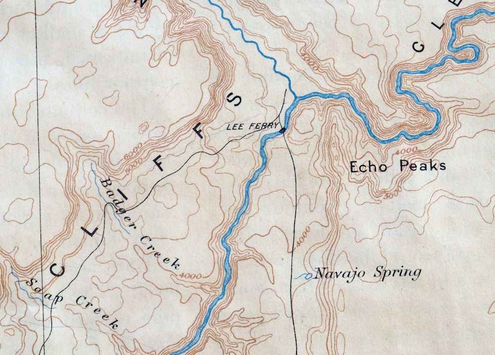
| MAP NOTES | A historical snapshot of Marble Canyon and Glen Canyon before Lake Powell and Page, and the eastern Grand Canyon, with the west half mapped from the Powell Survey of the late 1800s, surveyed before the area was designated as part of the Navajo Nation, showing historic overland routes and early placenames. |
| SHEET CONDITION For maps of this vintage, effort is made to note all visible flaws, no matter how minor. | |
| OVERALL CONDITION | Fair |
| SHEET NOTES | moderately handled, never folded, has original canvas-backing, age-toned paper |
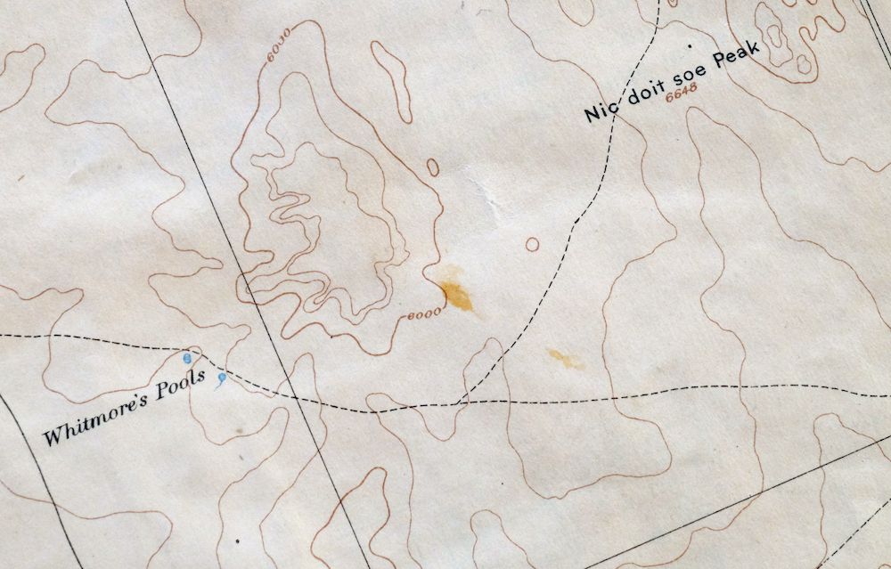
| MAP AREA | minor wear, scattered minor discolorations and blemishes, possible minor stray mark |
| COLLARS | no wear or tears, very minor markings, minor blemishes, inventory stamps in collar |
  | |
| MAP COVERAGE Quadrangle extent overlaid on current basemap. | |
| PLACENAMES Depending on map series and survey date, all of the features listed below may not be shown on this map. This list contains features that currently exist or historically existed within the area covered by the map. The list can be used as a reference to determine if this map covers your area of interest. Placenames are listed alphabetically next to each feature type. | |
| CITIES AND TOWNS (CURRENT) | Bitter Springs, Kaibito, Lechee, Marble Canyon, Moenkopi, Page, and Tuba City |
| COUNTIES COVERED | Coconino |
| FEDERAL LAND UNITS | Glen Canyon National Recreation Area, Grand Canyon National Park, Grand Canyon National Park Wilderness Study Area, Hopi Indian Reservation, Kaibab National Forest, Lake Powell, Navajo Indian Reservation, Paria Canyon-Vermilion Cliffs Wilderness, and Saddle Mountain Wilderness |
| RIVERS AND STREAMS | Antelope Creek, Basalt Creek, Bekihatso Wash, Billy Goat Wash, Carbon Creek, Cathedral Wash, Chuar Creek, Clear Creek, Colorado River, Comanche Creek, Cottonwood Creek, Curve Wash, Deer Tank Wash, Dry Wash, East Fork Carbon Creek, Emmett Wash, Escalante Creek, Espejo Creek, Fall Creek, Fivemile Wash, Grapevine Creek, Gray Spot Wash, Gray Wash, Hamblin Wash, Hance Creek, Hogansaani Wash, Hot Na Na Wash, House Rock Wash, Jackass Creek, Kaibito Creek, Lava Creek, Leche-e Wash, Little Colorado River, Nankoweap Creek, Nautiloid Creek, Navajo Creek, North Canyon Wash, North Creek, Palisades Creek, Papago Creek, Paria River, Peach Wash, Pleasant Valley Outlet, Roundy Creek, Salt Water Wash, Sand Wash, Sei Billikoon, Seventyfive Mile Creek, Sheep Spring Wash, Sheep Wash, Shinumo Wash, Sixtymile Creek, Soap Creek, South Fork Soap Creek, Starting Water Wash, Tanner Wash, Tatahatso Wash, Tatahoysa Wash, Tiger Wash, To Hajisho, Unkar Creek, Vishnu Creek, West Canyon Creek, and West Fork Carbon Creek |
| WATER BODIES | Big Reservoir, Dejolie Tank, First Reservoir, Hole Reservoir, Horseshoe Reservoir, Lake Powell, Pasture Canyon Reservoir, and Salt Reservoir |
| Locations: Anderson Ranch, Arizona State Inspection Station, Beacon Power Plant, Bean Hole Ranch, Big Sheep Corral, Buffalo Ranch, Cane Cairn, Cedar Ridge Trading Post, Cliff Dwellers Lodge, Coal Mine Rodeo Grounds, Cooper Mine Trading Post, Cram Ranch, Desert View, Glen Canyon Generating Station, Glen Canyon Substation, Jarvis Ranch, Joes Ranch, Lees Ferry, Navajo Springs Maintenance Yard, Page Maintenance Yard, Page Substation, The Gap, Tuba City Substation, Tusayan Ruins, Vermilion Cliffs Lodge, Wahweap Lodge and Marina, Yampas Village, and Yellow Door Corral. Areas: Dinosaur Tracks, Franks, Greasewood Place, and Vaseys Paradise. Mountain Ranges: Sand Hills. Mountains, Peaks, and Summits: Ah Hol Sah, Alsap Butte, Angels Gate, Apollo Temple, Arrowhead Mesa, Awatubi Crest, Barbenceta Butte, Betay, The Big Knoll, Billy Goat Knolls, Black Peak, Bodaway Mesa, Brady Peak, Bush Head, Carbon Butte, Cardenas Butte, Castle Buttes, Castle Rocks, Cedar Mountain, Cedar Tree Hills, Chuar Butte, Chuar Lava Hill, Cinyon Otah, Cochise Butte, Colter Butte, Comanche Point, Coronado Butte, Cummings Mesa, Desert View Point, Dunn Butte, Duppa Butte, Dynamite Hill, Echo Peak, Emmett Hill, Escalante Butte, Espejo Butte, Five Mile Point, Freya Castle, Galeros Butte, The Ghost, Gold Hill, Gray Mesa, Gunther Castle, Hall Butte, Hancock Butte, Mount Hayden, High Point Mountain, Hollenback Point, Horse Theif Mesa, Horseshoe Mesa, Hubbell Butte, Hutton Butte, Johnson Point, Juno Temple, Jupiter Temple, Kibbey Butte, Krishna Shrine, Kwagunt Butte, Lava Butte, Lice Hill, Little Black Mesa, Little Knoll, Malgosa Crest, Manson Mesa, Many Ghosts Hill, Middle Knoll, Middle Mesa, Mori Mesa, Nankoweap Butte, Nankoweap Mesa, Newberry Butte, North Red Hill, Novinger Butte, Nurusse, Owls Cap, Papago Point, Peshlakai Point, Petal Hills, Pile of Sticks, Pillow Mountain, Poston Butte, Powells Monument, Preston Mesa, Rama Shrine, Red Hill, Red Knolls, Red Mesa, Red Point Hills, Saddle Mountain, Sheba Temple, Sheep Mountain, Shinumo Altar, Siegfried Pyre, Sitting Coyote Hill, Small Butte, Solomon Temple, South Red Hill, Sullivan Peak, Swilling Butte, The Tabernacle, Temple Butte, Thor Temple, Tilted Mesa, Tower Butte, Tritle Peak, Tse Binjoobaahi, Tuba Butte, Venus Temple, Vishnu Temple, Whiskey Bottle Rock, White Knolls, White Mesa, Wild Horse Mesa, Wild Horse Trap Mesa, Wildcat Peak, Wind Rock, Woolsey Butte, Wotans Throne, and Yon Dot Mountains. Arroyos and Washes: Cathedral Wash. Valleys and Canyons: Antelope Canyon, Asbestos Canyon, Awatubi Canyon, Badger Canyon, Basalt Canyon, Bedrock Canyon, Big Canyon, Black Valley, Buck Farm Canyon, Carbon Canyon, Cardenas Canyon, Cedar Canyon, Chaol Canyon, Chuar Valley, Coal Mine Canyon, Cornfield Valley, Cottonwood Cove, Fence Canyon, Ferry Swale, Ferry Swale Canyon, Glen Canyon, Ha Ho No Geh Canyon, Hance Canyon, House Rock Valley, Judd Hollow, Kerley Valley, Kid Pen Valley, Kwagunt Canyon, Lava Canyon, Little Colorado River Gorge, Little Nankoweap Canyon, Little Valley, Malgosa Canyon, Marble Canyon, Mineral Canyon, Moenave Canyon, Nankoweap Canyon, Natch Canyon, Navajo Canyon, North Canyon, Paria Canyon, Pasture Canyon, Pinnacle Valley, Red Canyon, Rider Canyon, Rock Canyon, Saddle Canyon, Salt Trail Canyon, Seegmiller Canyon, Shed Valley, Sixtymile Canyon, South Canyon, Straight Canyon, Tanner Canyon, Tater Canyon, Twentynine Mile Canyon, Water Thief Canyon, Waterhole Canyon, and Wildcat Canyon. Parks: Coalmine Canyon Campground, Desert View Campground, Glen Canyon National Recreation Area, Grand Canyon Navajo Tribal Park, House Rock Valley Buffalo Range, Jack Doland Field, John C Page Park, Lake Powell Navajo Tribal Park, Little Colorado River Navajo Tribal Park, and Marble Canyon National Monument. Trails: Blue Springs Trail, Grandview Trail, Hance Trail, Soap Creek Trail, and Tanner Trail. Drainages: Antelope Creek, Awatubi Creek, Basalt Creek, Bekihatso Wash, Billy Goat Wash, Carbon Creek, Cardenas Creek, Chuar Creek, Comanche Creek, Cottonwood Creek, Curve Wash, Dry Wash, East Fork Carbon Creek, Emmett Wash, Escalante Creek, Espejo Creek, Fall Creek, Gray Spot Wash, Gray Wash, Hamblin Wash, Hance Creek, Hogansaani Wash, Hot Na Na Wash, House Rock Wash, Jackass Creek, Kaibito Creek, Kwagunt Creek, Lava Creek, Leche-e Wash, Little Colorado River, Little Nankoweap Creek, Malgosa Creek, Nankoweap Creek, Nautiloid Creek, Navajo Creek, North Canyon Wash, North Creek, Palisades Creek, Papago Creek, Paria River, Peach Wash, Pleasant Valley Outlet, Roundy Creek, Salt Water Wash, Sand Wash, Seventyfive Mile Creek, Sheep Wash, Shinumo Wash, Sixtymile Creek, Soap Creek, South Fork Soap Creek, Starting Water Wash, Tanner Wash, Tatahatso Wash, Tatahoysa Wash, Tiger Wash, Unkar Creek, Vishnu Creek, Wahweap Creek, West Fork Carbon Creek, and Willow Creek. Islands: Antelope Island. Capes: Marion Point and North Canyon Point. Mines: Hance Mine and Last Chance Mine. Hospitals: Tuba City Hospital. Lakes and Ponds: Greenland Lake and Jacobs Pool. Buildings: Glen Canyon Dam Visitor Center and Marble Canyon Lodge. Waterfalls: Cheyava Falls. Dams: Glen Canyon Dam and Pasture Canyon Dam. Bluffs: Atoko Point, Ayer Point, Banta Point, Basalt Cliffs, Blue Point, Bourke Point, Cape Royal, Chiavria Point, Desert Facade, Echo Cliffs, Ehrenberg Point, Eminence Break, Cape Final, Francois Matthes Point, Gray Point, Honan Point, Point Imperial, Jeffords Point, Lipan Point, Moran Point, Naji Point, Navajo Point, Ochoa Point, Palisades of the Desert, Pinal Point, Red Bluff, Red Point, Rider Point, Rock Point, Roosevelt Point, Seiber Point, Small Point, Cape Solitude, South Canyon Point, Tatahatso Point, White Point, Woolsey Point, and Zuni Point. Gaps: Antelope Pass, Boulder Narrows, The Gap, Sand Hill Crack, and Tolchaco Gap. Bridges: Navajo Bridge. Bays: Browns Cove. Basins: Big Pocket, Big Sink, The Hole, Hollow Place, Low Valley, Lower Basin, Pine Tree Pockets, Red Pocket, Thousand Pockets, Triple Alcoves, Water Pockets, and White Pocket. Natural Arches: Anasazi Foot Bridge, Angels Window, Diagenetic Arch, Hartman Natural Bridge, Hole in Rock, Hole in the Rock, Jett Arch, Kolb Arch, Royal Arches, Three Wise Men, White Craig Arch, and Wrather Arch. Airports: Cliff Dwellers Lodge Airport, Emergency Medical Heliport, Kaibito Airport, Marble Canyon Airport, Page Municipal Airport, Sandhill Ranch Airport, Tuba City Airport, and Wahweap Airport. Schools: Kaibito Boarding School, Moenkopi Elementary School, Old Kaibito Boarding School, Page Elementary School, Page High School, Tuba City Elementary School, Tuba City High School, and Tuba City Junior High School. Ridges: Black Rock Ridge, Boundary Ridge, Cedar Ridge, Circular White Ridge, Crooked Ridge, Dead Monkey Ridge, Hamblin Ridge, Point Hansbrough, Horse Ridge, Limestone Ridge, Mormon Ridges, One Toe Ridge, and Pinnacle Ridge. Reservoirs and Tanks: Alkali Tank, Antelope Tank, Badger Tank, Big Reservoir, Bishops Tank, Black Spot Reservoir, Blue Clay Reservoir, Blue Moon Reservoir, Buffalo Tanks, Burro Tank, Bush Head Tank, Circular Tank, Corner Rock Reservoir, Cottonwood Tank, Curve Reservoir, Dejolie Tank, Eagle Nest Reservoir, First Reservoir, Hole Reservoir, Hopi Reservoir, Horse Reservoir, Horseshoe Reservoir, Joes Tank, Lake Mary, Lake Powell, Limestone Tanks, Lower Reservoir, Lynn Tank, McClellan Tanks, Middle Reservoir, Moquitch Tank, Navajo Tank, Pasture Canyon Reservoir, Pine Reservoir, Pine Tree Reservoir, Quaking Aspen Tank, Red Dirt Tank, Red Mesa Reservoir, Red Reservoir, Saddle Canyon Tank, Salt Reservoir, Second Reservoir, Shed Valley Tank, Soap Creek Number One Tank, Soap Creek Number Two Tank, Tank Number Eight, Tank Number Five, Tank Number Four, Tank Number Seven, Tank Number Six, Tank Number Three, Weed Reservoir, White Dome Tank, Willow Tank, and Wooded Tank. Rapids: Badger Creek Rapids, Browns Riffle, Cave Spring Rapids, Hance Rapids, Hansbrough-Richards Rapid, House Rock Rapids, Kwagunt Rapids, Lava Canyon Rapids, Nankoweap Rapids, Nevills Rapids, President Harding Rapids, Seventy-Five Mile Rapids, Sheer Wall Rapids, Sixtymile Rapids, Soap Creek Rapids, Sockdolager Rapids, Tanner Canyon Rapids, and Unkar Creek Rapids. Flats: Greasewood Lake, Mexican Sink, Soap Creek Pasture, and Walhalla Glades. Towers: KGHR-FM (Tuba City), KPGE-AM (Page), KTBA-AM (Tuba City), and KXAZ-FM (Page). Plains and Plateaus: Kaibito Plateau, Paria Plateau, Rainbow Plateau, and Walhalla Plateau. Wells: Bahe Adakai Well, Begay Well, Benally Well, Big Whisker Well, Bodaway Well, Blue Canyon Well, Buck Pasture Windmill, Cattail Well, Charley Day Well, Charlie Secody Well, Coal Mine Well, Cooper Mine Well, Crater Well, Crevis Well, Curtis Well, Dogwater Well, Edgewater Well, Hulchee Well, Joe Lee Well, Juniper Well, Kai-Si-Kaid Well Number One, Kai-Si-Kaid Well Number Two, Klage Toh, Lined Trees Windmill, Little Hogan Well, Little Water Well, Natanabah Well, Navajo John Well, Well Number Four, Well Number One, Well Number Three, Well Number Two, OK Well, Pauitue Well, Pinnacle Valley Well, Preston Well, Rabbit Brush Well, Red Bluff Windmill, Rough Point Wells, Secody Well, Sei Be Toh, Shadow Mountain Well, Sheep Pelt Well, Shonto Well, Sitting Coyote Windmill, Standing Rock Well, Tamrock Well, Tanner Well, Tapaha Well, Trail Well, Tsin Beskunt Well, Tsinnie Well, Water Trough Well, and White Sand Well. Pillars: Balanced Rock, Beehive Rock, Black Rock, Cathedral Rock, Corner Rock, Flat Rock, Gray Castle, High Point Rock, Leche-e Rock, Pinnacle Rock, Round Rock, Sentinel Rock, Sitting Lizard Rock, Standing Rock, Sunset Rock, Tooth Rock, Tsai Skizzi Rock, and White Rock. Springs: Badger Spring, Billy Spring, Bitter Spring, Bodaway Water, Blue Spring, Cattail Spring, Cliff Spring, Cottonwood Spring, Dotson Spring, Dove Spring, Emmett Spring, Fisher Spring, Goldtooth Spring, Gopher Spring, Government Spring, Hanging Springs, Hidden Spring, Ironwood Spring, Jack Homer Spring, John Etsitty Spring, Juanita Begay Spring, Kaibito Spring, Lechee Da Si Kaid Spring, Lowrey Spring, Mesa Spring, Navajo Spring, Navajo Springs, Page Spring, Rose Spring, Shonto Spring, Toh Bih Nosteny, Toh Nee Di Kishi, Tohnali, Wild Rose Spring, and Willow Springs. | |
| SHIPPING AND RETURNS | |
 This map sheet will be carefully rolled in a sturdy tube and shipped via the US Postal Service. If you find that the sheet you receive is not as described in the listing, you may ship it back to us for a refund of the purchase price. | |
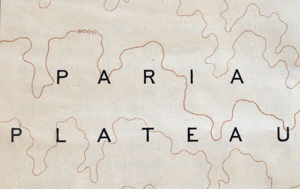
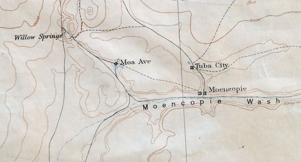
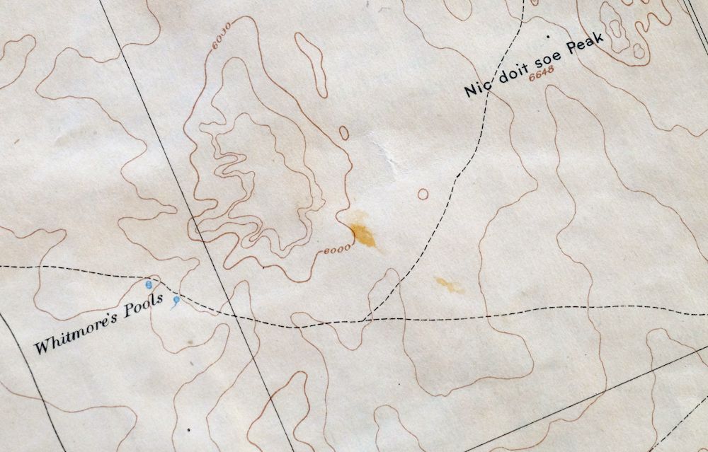
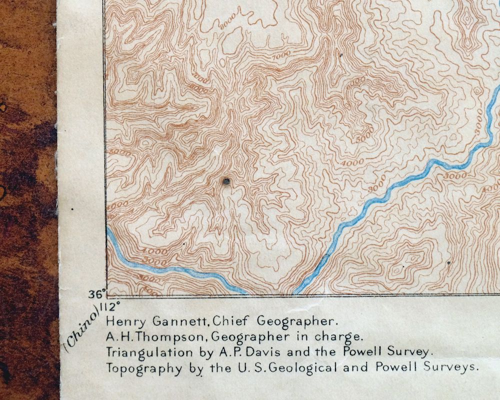
Echo Cliffs Arizona Tuba City Page USGS 60-Min Topo Map 1913
$48
This USGS Reconnaissance Topo Map is an 1891 edition printed in 1913, a canvas-backed sheet in fair condition that was never folded and shows age-toned paper. Drawn at 1:250,000 across roughly 55 by 69 miles of northern Coconino County, the quad takes in the Echo Cliffs, portions of the eastern Grand Canyon and Marble Canyon, and the ground where Tuba City, Moenkopi, and Kaibito sit, along with parts of the Navajo and Hopi reservations and Kaibab National Forest. Its west half was mapped from Major Powell’s field surveys of the late 1800s, and it records the region’s historic overland routes and early placenames as they stood before Lake Powell flooded Glen Canyon and the town of Page was built.
In stock
This antique sheet is an 1891 edition of the Echo Cliffs Arizona USGS topographic map. It is an authentic 113-year-old 1913 United States Geological Survey print in fair condition.
HOW THIS MAP CAN BE USED
In addition to making a fascinating conversation piece, this sheet would make a unique and prized gift for anyone interested in this area, be perfect as a reference for genealogy studies or general historical research, or fill that missing piece in your collection.
FEATURES SHOWN ON THE MAP
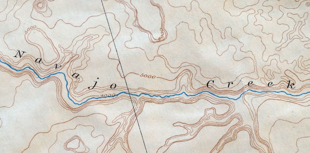
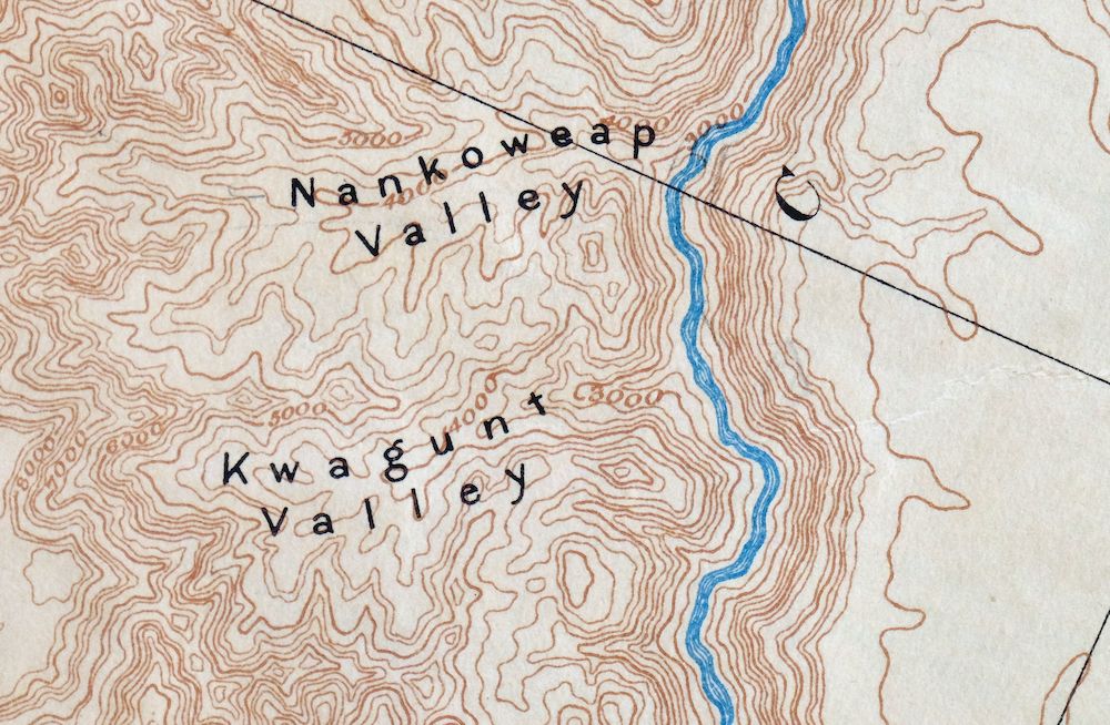
The Echo Cliffs 60-minute map shows cities and towns, roads, railroads, rivers, creeks, elevation contour lines, public land survey lines, county, state, and other administrative boundaries as they existed at the time of the survey in 1871 through 1890.
A VALUABLE HISTORICAL RECORD
Maps from the 60-minute series have been out of print for many years. They have never been common and original prints are increasingly difficult to find. Only about 85 quadrangles (covering about 10% of the continental US) were mapped in this series, all in western states. For the limited areas where the 60-minute map was produced, it was generally a product of the very first USGS survey done for that area. These quadrangles are a valuable historical record, as they contain many placenames and features that have been dropped from more recent series’ and editions.
Nearby maps
-
Marsh Pass Arizona Kayenta Pinon USGS Topo Map 1922 Antique
$74 Add to cart -

Tusayan Arizona Winslow Dilkon USGS Topo Map 1901 Antique
$65 Add to cart -

Diamond Creek Arizona Grand Canyon Nelson USGS Topo Map 1927
$130 Add to cart -
Beaver Utah Dixie NF Fishlake NF USGS Topo Map 1921 Antique
$63 Add to cart -
Camp Mohave Arizona El Dorado WSA Kingman USGS Topo Map 1920
$74 Add to cart -
Nankoweap Arizona Grand Canyon USGS Topo Map 1970 Vintage
$32 Add to cart -
Blue Spring Arizona USGS 15-Min Topographic Map 1978 Vintage
$44 Add to cart -

Lees Ferry Arizona Page Marble Canyon USGS Topo Map 1971
$58 Add to cart -

Paria Plateau Arizona Vermillion Cliffs USGS Topo Map 1978
$42 Add to cart -
De Motte Park Arizona USGS 15-Min Topo Map 1964 Vintage
$37 Add to cart -

Jacob Lake Arizona Kaibab Plateau USGS Topo Map 1965 Vintage
$38 Add to cart -
Bright Angel Arizona Grand Canyon Tusayan USGS Topo Map 1912
$30 Add to cart -
House Rock Spring Arizona USGS 15-Min Topo Map 1972 Vintage
$40 Add to cart -
Nipple Butte Utah Wahweap WSA Big Water USGS Topo Map 1962
$36 Add to cart -
Cummings Mesa Utah USGS 15-Min Topographic Map 1978 Vintage
$40 Add to cart -

Cummings Mesa Utah USGS 15-Min Topographic Map 1964 Vintage
$64 Add to cart -
Powell Plateau Arizona USGS 15-Min Topo Map 1964 Vintage
$37 Add to cart -
Big Springs Arizona Kaibab Nail Canyon USGS Topo Map 1984
$40 Add to cart -
Shinarump Arizona Kaibab USGS 15-Min Topo Map 1964 Vintage
$35 Add to cart -
S P Mountain Arizona USGS 15-Min Topo Map 1975 Vintage
$34 Add to cart -
Kanab Point Arizona USGS 15-Min Topographic Map 1972 Vintage
$44 Add to cart -
Ebert Mountain Arizona Red Mountain USGS Topo Map 1969
$36 Add to cart -
Oraibi Arizona Second Mesa Shongopovi USGS Topo Map 1968
$34 Add to cart -
Supai Arizona USGS 15-Min Topographic Map 1970 Vintage
$41 Add to cart