MAP DETAILS | |
|---|---|
| TITLE | Marsh Pass |
| STATE | Arizona |
| LOCATION | Vicinity of Kayenta |
| SERIES | 60-minute |
| SURVEYED | 1883 Field Survey |
| GEOGRAPHER | Henry Gannett |
| EDITION | 1892 |
| PRINTED | 1922 |
| PRINT NOTES | Thick paper stock |
| SCALE | 1:250000 |
| CONTOUR INTERVAL | 200 feet |
| SHEET DIMENSIONS | 16 1/2 x 20 inches |
| MAP DIMENSIONS | 14 1/8 x 17 1/2 inches |
| COVERAGE AREA | 55 x 69 miles |
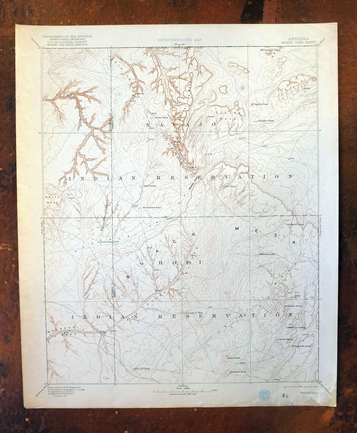
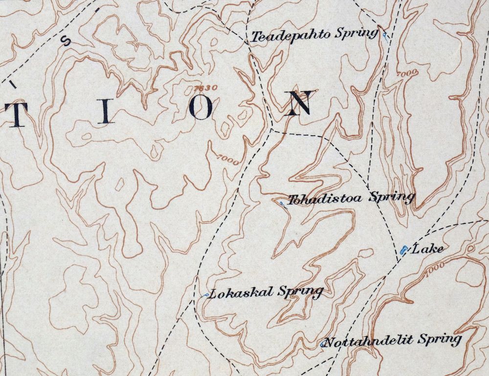
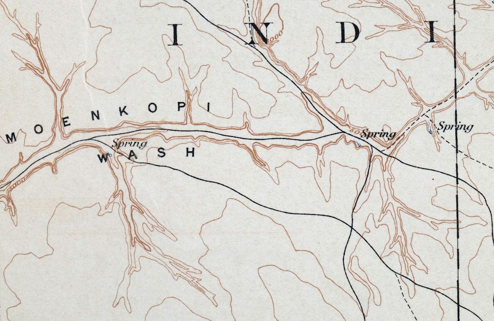
| MAP NOTES | A historical snapshot of the north-central Navajo Nation, including part of Monument Valley, Shonto, Kayenta, Black Mesa, and the northern Hopi Reservation, showing overland travel routes before the modern highway system and many early Navajo and English placenames. |
| SHEET CONDITION For maps of this vintage, effort is made to note all visible flaws, no matter how minor. | |
| OVERALL CONDITION | Good |
| SHEET NOTES | lightly handled, never folded |
| MAP AREA | no markings, no blemishes |
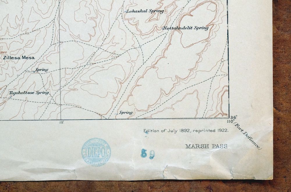
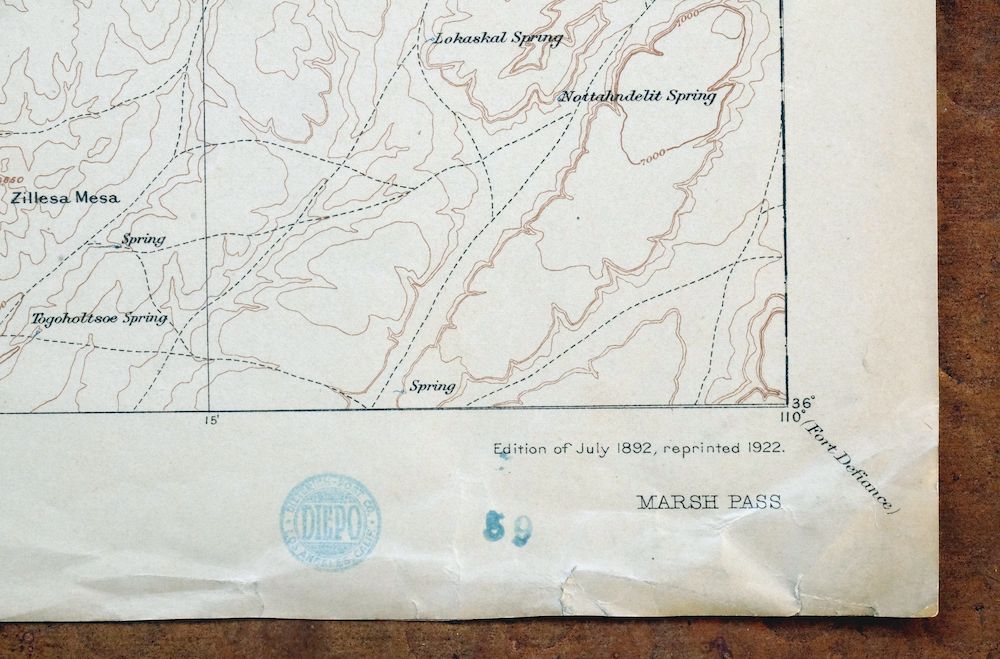
| COLLARS | no markings, minor blemishes, minor edge tears in bottom collar discreetly stabilized with transparent archival tape on backside of sheet, storage crinkles in lower right collar corner, small inventory stamp in bottom right collar |
 | |
| MAP COVERAGE Quadrangle extent overlaid on current basemap. | |
| BACKSIDE LEGEND | |
 A map summary is printed on the back side of the Marsh Pass sheet similar to the one shown in the picture. It outlines the history, purpose, and status of the USGS mapping program at the time of the printing in 1922. It also provides instructions on how to read contour lines and a description of how they are used to depict the terrain. At the bottom of the page is a legend showing all of the symbols used to represent the cultural, relief, and water features found on the map. | |
| PLACENAMES Depending on map series and survey date, all of the features listed below may not be shown on this map. This list contains features that currently exist or historically existed within the area covered by the map. The list can be used as a reference to determine if this map covers your area of interest. Placenames are listed alphabetically next to each feature type. | |
| CITIES AND TOWNS (CURRENT) | Chilchinbito, Kayenta, Oljato-Monument Valley, Oljato-Monument Valley, Pinon, Shonto, and Tonalea |
| COUNTIES COVERED | Apache, Coconino, Navajo, and San Juan |
| FEDERAL LAND UNITS | Hopi Indian Reservation, Navajo Indian Reservation, and Navajo National Monument |
| RIVERS AND STREAMS | Aztec Creek, Burnt Corn Wash, Chaiyahi Creek, Cutfoot Wash, Dinnebito Wash, El Capitan Wash, Kaibito Creek, Laguna Creek, Narrow Canyon Wash, Navajo Creek, Nokai Creek, Oraibi Wash, Parrish Creek, Polacca Wash, Shonto Wash, Sour Water Wash, Starting Water Wash, Tyende Creek, Wepo Wash, and West Canyon Creek |
| WATER BODIES | Dry Lake |
| Locations: Begay Windmill, Bennett Corral, Betatakin Ruin, Blue Canyon Trading Post, Calamity Cave Cliff Dwelling, Chilchinbito Trading Post, Co-op Trading Post, Cottonwood Windmill, Cow Springs Trading Post, Dinnebito Trading Post, Echo Cave Ruin, Goldtooth Windmill, Inscription House Ruin, Inscription House Trading Post, Keet Seel Ruin, Kitsillie Chapter House, Long House Ruin, Navajo Tribal Utility, Old Cow Springs Trading Post, Pinon Trading Post, Rainbow Lodge, Reed Windmill, Round Valley Trading Post, Sleepy Hill Windmill, Swallows Nest Ruins, The Old Windmill, Tohdenasshai Trading Post, Tsegi Point Overlook, Tsegi Trading Post, and White Rock Mesa Windmill. Areas: Behihlih, Black Mesa, and Navajo Country. Mountains, Peaks, and Summits: Agathla Peak, Azansosi Mesa, Baby Rocks Mesa, Balanced Rock Mesa, Big Chair, Big Mountain, Big Point, Boot Mesa, Camel Butte, Chaistla Butte, Cliff Rose Hill, Cly Butte, East Mitten Butte, Elephant Butte, Flat Mesa, Gray Hills, Gray Whiskers, Hard Rock Mesa, Hat Rock, Haystack Rock, The Hub, Hunts Mesa, John Daw Mesa, Lion Rock, Little Black Spot Mountain, Lone Sharp Hill, Many Bobcats Hill, Meridian Butte, Merrick Butte, Mitchell Butte, Mitchell Mesa, Nokai Mesa, Octagon Butte, Owl Rock, Owl Spring Mesa, Piute Mesa, Porras Dikes, Rain God Mesa, The Ramp, Red Point, Red Rock Hill, Red Slide Peak, Round Rock, Ruin Hill, Saneneheck Rock, Segeke Butte, Segi Mesas, Skeleton Mesa, Small White Mesa, Spearhead Mesa, Square Butte, Tall Mountain, Thin Rock Mesa, Third Mesa, Three Sisters, Thunderbird Mesa, Two Mesas, Two Red Mesas, Tyende Mesa, West Mitten Butte, Wetherill Mesa, Whippoorwill Spring Mesa, Whirlwind Rock, White Mesa, Wild Man Mesa, Yei Bichei, Yellow Butte, Yellowstone Point, Yucca Hill, Zilnez Mesa, and Ziltahjini Peak. Arroyos and Washes: Klethla Valley Wash and Narrow Canyon Wash. Valleys and Canyons: Aasayii Wash, Adahchijiyahi Canyon, Alkali Valley, Aspen Grove Wash, Aspen Wash, Bat Canyon, Begashibito Canyon, Begashibito Wash, Betatakin Canyon, Big Point Valley, Binne Etteni Canyon, Bitter Spring Wash, Black Mesa Wash, Black Rock Wash, Black Sage Canyon, Blue Canyon, Bubbling Spring Canyon, Burnt Corn Valley, Burnt Place Valley, Burnt Trees Wash, Cane Valley, Cane Wash, Cattle Canyon, Celebration Wash, Chilchinbito Canyon, Chilchinbito Wash, Church Rock Valley, Cliff Rose Hill Wash, Cliff Spring Canyon, Cliff Spring Valley, Coal Mine Wash, Coal Spring Canyon, Cobra Head Canyon, Cottonwood Canyon, Cottonwood Wash, Crows Nest Valley, Deadman Valley, Devils Canyon, Dipping Bucket Valley, Donkey Spring Canyon, Double Arch Canyon, Dowozhiebito Canyon, Dugout Valley, East Fork Dinnebito Wash, East Steep Hill Valley, End Canyon, Esitty Valley, Far End Canyon, Fir Canyon, First Canyon, Forest Lake Wash, Forty Caves Canyon, Gambler Corral Wash, Gambler Lake Wash, Geshi Canyon, Grey Hill Wash, Hole in Rock Valley, Horse Canyon, Horse Pasture Canyon, Horse Trail Valley, House Canyon, Jackass Canyon, Jayi Canyon, John Smith Wash, Juniper Grove Wash, Keet Seel Canyon, Klethla Valley, Last End Wash, Laughing Canyon, Little Capitan Valley, Little Salt Canyon, Lone Cottonwood Canyon, Lone Rugged Tree Valley, Long Canyon, Long Canyon Wash, Long Flat Wash, Long House Valley, Many Greasewood Valley, Many Owl Canyon, Many Sheep Valley, Mesa Trail Valley, Mesa Trail Wash, Narrow Wash, Nitsin Canyon, Owl Spring Valley, Owl Valley, Pain in the Back Canyon, Peach Canyon, Perea Canyon, Pine Spring Canyon, Pine Tree Valley, Pine Tree Wash, Porcupine Wash, Potato Canyon, Potato Garden Valley, Pyramid Canyon, Rabbit Valley, Ramhead Wash, Red Peak Valley, Red Point Wash, Red Slide Peak Wash, Reed Valley, Resting Cattle Valley, Rock Gap Valley, Sage Valley, Sagebrush Wash, Salt Water Valley, Sand Canyon, Segihatsosi Canyon, Segito Canyon, Shato Canyon, Sliding Rocks Valley, Sour Water Canyon, Square Butte Wash, Squaw Dance Valley, Sweathouse Valley, Thorn Valley, Tin Can Wash, Toenleshushe Canyon, Toh Ne Zhonnie Valley, Toh Ne Zhonnie Wash, Trampled Water Canyon, Tsegi Canyon, Tseya Neechee Canyon, Two Red Peaks Valley, Two White Rocks Wash, Ute Valley, West Fork Oraibi Wash, West Steep Hill Valley, White Hair Valley, White House Valley, White Neck Valley, White Ruin Canyon, White Valley, Wild Ram Valley, Wildcat Canyon, Yellow Butte Wash, Yellow Jacket Wash, Yellow Water Canyon, and Yucca Flat Wash. Parks: Elephants Feet Rest Area, George Smith Historical Monument, Monument Valley Navajo Tribal Park, Navajo National Monument, Navajo National Monument Campground, Pinon Rodeo Grounds, Rainbow Bridge National Monument, Tsegi Canyon Campground, and Wagon Wheel Rest Area. Drainages: El Capitan Wash, Chaiyahi Creek, Cutfoot Wash, Parrish Creek, Shonto Wash, and Sour Water Wash. Capes: Facing Red Points. Mines: Monument Number 1 Tunnel and Monument Number One Annex. Lakes and Ponds: Big Water, Black Rock Pond, Dry Lake, Forest Lake, Gambler Lake, Little Water, and Toh Ha Ha Clah. Buildings: Forest Lake Chapter House, Navajo National Monument Headquarters, and Pinon Chapter House. Dams: Big Mountain Dam, Blue Lake Dam, Hard Rocks Dam, and Waterfall Dam. Bluffs: Baby Rocks, Big Rock Point, Burnt Corn, Chaiyahi Rim, Crevice Point, Gray Point, Horse Corral Point, Lolamai Point, Lookout Point, The Ramp, Rough Rock Point, Salt Point, Tsegi Point, and Wind Rock Point. Gaps: Marsh Pass, The Narrows, North Window, and Rock Gap. Basins: The Kettle, Mystery Valley, Red Lake Valley, and Tse Biyi. Natural Arches: Big Hogan, Donut Arch, Ear of the Wind, Eggshell Arch, Eye of the Rabbit, Four Level Arch, Full Moon Arch, Hidden Bridge, Honeymoon Arch, Margaret Arch, Moccasin Arch, Natural Arch, Natural Window, Pine Tree Arch, Quick Arch, Skeleton Arch, Arch in the Sky, The Spectacles, Spiderweb Arch, Standing Cow Arch, Stout Arch, Suns Eye, Swinnerton Bridge, Vreeland Arch, White Mesa Arch, and Window Rock. Airports: Bedard Field, Black Mesa Pipeline Landing Strip, Inscription House Airport, Kayenta Airport, Peabody Coal Company Airstrip, Pinon Airport, Rocky Ridge Airport, and Shonto Airport. Schools: Kayenta Boarding School, Kayenta Elementary School, Kayenta Preschool, Monument Valley High School, Pinon Boarding School, Rocky Ridge School, Shonto Boarding School, and Whippoorwill School. Ridges: Comb Ridge, Hallburn Ridge, Rocky Ridge, and Salt Water Ridge. Reservoirs and Tanks: Big Mountain Dam Reservoir, Blue Lake, Ramhead Tank, Smoke Hole Tank, and Tolah Nascin. Flats: Black Brush Flat, El Capitan Flat, Chaiyahi Flat, Red Lake, Small White Mesa Flat, and Yucca Flat. Plains and Plateaus: Shonto Plateau. Wells: Bitter Well, Black Rock Cairn Well, Blue Clay Well, Burning Rock Well, Chilchinbito Well, Forest Lake Well, Goulding Well, Grapevine Well, Hilltop Well, John Daw Well, Kai Si Caude Well, Kin ni taahll Well, Lake Well, Little Water Well, Little Waterfall Well, Mormon Well, Owl Well, Rough Rock Well, Sagebrush Well, Sheep Dip Well, Side Rock Well, Soldier Well, Tall Mountain Well, Tom Hunters Well, and Tse Tai De Linne Well. Pillars: Black Rock Standing, Church Rock, Elephant Feet, Horse Rock, Navajo Stand Rock, Pillars of Hercules, Setting Red Rocks, and Totem Pole. Springs: Adadka Spring, Ah Na Na Betoh, Aspen Spring, Ba Ha Zohnnie Betoh, Badger Spring, Bat Spring, Beda Tohie, Bennett Spring, Big Mountain Ruin Spring, Big Mountain Spring, Bitter Spring, Boiling Spring, Bubbling Spring, Burnt Corn Spring, Cane Spring, Cave Spring, Chilchinbeto, Chilchinbito Spring, Cliff Spring, Coat Spring, Coldwater Spring, Cottonwood Spring, Crooked Finger Spring, Crow Spring, Danger Spring, Deer Spring, Deneth Chahis Spring, Doh Yai Nos Cly, Donkey Spring, Dove Spring, Fir Spring, Frank Isaac Spring, Fullers Spring, Great Spring, Hastiin Akahibito, Hawks Nest Spring, Horse Spring, Inscription House Ruin Spring, Kai Si Kato, Kydestia Spring, Lamb Spring, Little Shonot Spring, Little Spring, Lokasakal Spring, Long Canyon Spring, Lower Badger Spring, Maiitoh, Many Skull Spring, Nakai Yazzie Spring, Nee De Mise Betoh, Nez Spring, Oak Springs, Oat Spring, Old Farm Spring, Owl Spring, Pack Rat Spring, Pat Williams Spring, Peach Spring, Peaches Spring, Pigeon Spring, Pine Spring, Ponderosa Pine Spring, Porcupine Spring, Red Spot Spring, Red Willow Spring, Reed Spring, Replacing Cover Spring, Rock Spring, Rough Rock Spring, Saa Betoh, Salt Water Spring, Sand Spring, Sei Betoh, Shato Spring, Sheepskin Spring, Smoke Signal Spring, Sour Water Spring, Square Butte Spring, Starting of the Water Spring, Sunlit Spring, Sweetwater Spring, Tees Spa Spring, Tis Ya Toh Spring, To Cai, Togoholtsoe Spring, Toh Ah Chi, Toh Ah Honnie Betoh, Toh De Coz, Toh Ha Hao Cheen, Toh Ha Tsil Dize, Toh Honi Ni Toh, Toh Ne Zhonnie Spring, Tolah Nascin, Tse No Dozz, Tse Ya Toe Spring, Tsin Yatoh, Under Rock Spring, Upper Crossing Spring, Water on the Rock Spring, Well under the Rock, Whippoorwill Spring, White Cave Spring, White Horse Spring, Wild Horse Spring, Willa Zhinni Toh, Willow Spring, Wolf Spring, and Woosh Clo Dee Toh. | |
| SHIPPING AND RETURNS | |
 This map sheet will be carefully rolled in a sturdy tube and shipped via the US Postal Service. If you find that the sheet you receive is not as described in the listing, you may ship it back to us for a refund of the purchase price. | |
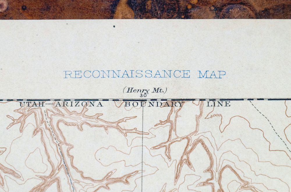
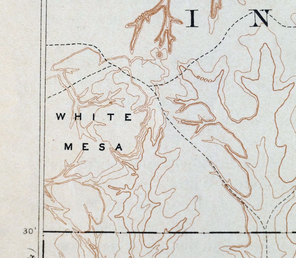
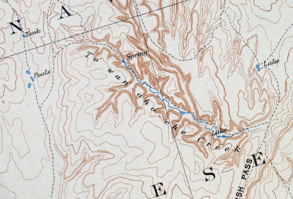
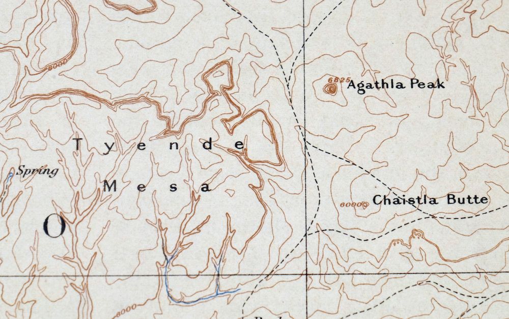
Marsh Pass Arizona Kayenta Pinon USGS Topo Map 1922 Antique
$74
This USGS Reconnaissance Topographic sheet is an 1892 edition printed in 1922, an antique on thick stock in good condition; the sheet was never folded and lightly handled, with minor edge tears in the bottom collar discreetly stabilized on the backside using archival tape. Covering a full degree of northern Arizona around Kayenta, the quad area takes in part of Monument Valley, Shonto, Tonalea, and Pinon, along with portions of the Navajo and Hopi Reservations and Navajo National Monument. Drawn from an 1883 field survey under geographer Henry Gannett, the map records overland travel routes across this stretch of the Navajo Nation before the modern highway system, preserving many early Navajo and English placenames. The reverse carries printed reference material about the mapping program of the era.
In stock
This antique sheet is an 1892 edition of the Marsh Pass Arizona USGS topographic map. It is an authentic 104-year-old 1922 United States Geological Survey print in good condition.
HOW THIS MAP CAN BE USED
In addition to making a fascinating conversation piece, this sheet would look great in a frame or on display, make a unique and prized gift for anyone interested in this area, be perfect as a reference for genealogy studies or general historical research, or fill that missing piece in your collection.
FEATURES SHOWN ON THE MAP
The Marsh Pass 60-minute map shows cities and towns, roads, railroads, rivers, creeks, elevation contour lines, public land survey lines, county, state, and other administrative boundaries as they existed at the time of the survey in 1883.
A VALUABLE HISTORICAL RECORD
Maps from the 60-minute series have been out of print for many years. They have never been common and original prints are increasingly difficult to find. Only about 85 quadrangles (covering about 10% of the continental US) were mapped in this series, all in western states. For the limited areas where the 60-minute map was produced, it was generally a product of the very first USGS survey done for that area. These quadrangles are a valuable historical record, as they contain many placenames and features that have been dropped from more recent series’ and editions.
Nearby maps
-
Echo Cliffs Arizona Tuba City Page USGS 60-Min Topo Map 1913
$48 Add to cart -

Tusayan Arizona Winslow Dilkon USGS Topo Map 1901 Antique
$65 Add to cart -
Beaver Utah Dixie NF Fishlake NF USGS Topo Map 1921 Antique
$63 Add to cart -

Diamond Creek Arizona Grand Canyon Nelson USGS Topo Map 1927
$130 Add to cart -
Camp Mohave Arizona El Dorado WSA Kingman USGS Topo Map 1920
$74 Add to cart -
Agathla Peak Arizona USGS 15-Min Topo Map 1959 Vintage
$47 Add to cart -
Oraibi Arizona Second Mesa Shongopovi USGS Topo Map 1968
$34 Add to cart -
Polacca Arizona First Mesa Second Mesa USGS Topo Map 1967
$39 Add to cart -
Cummings Mesa Utah USGS 15-Min Topographic Map 1978 Vintage
$40 Add to cart -

Cummings Mesa Utah USGS 15-Min Topographic Map 1964 Vintage
$64 Add to cart -
Egloffstein Butte Arizona Hopi Navajo USGS Topo Map 1968
$37 Add to cart -

Lees Ferry Arizona Page Marble Canyon USGS Topo Map 1971
$58 Add to cart -
Blue Spring Arizona USGS 15-Min Topographic Map 1978 Vintage
$44 Add to cart -
Toh Atin Mesa Arizona Red Mesa USGS Topo Map 1967 Vintage
$40 Add to cart -
Nipple Butte Utah Wahweap WSA Big Water USGS Topo Map 1962
$36 Add to cart -
Nankoweap Arizona Grand Canyon USGS Topo Map 1970 Vintage
$32 Add to cart -
Leupp Arizona USGS 15-Min Topographic Map 1959 Vintage
$44 Add to cart -

Paria Plateau Arizona Vermillion Cliffs USGS Topo Map 1978
$42 Add to cart -
S P Mountain Arizona USGS 15-Min Topo Map 1975 Vintage
$34 Add to cart -
Buell Park Arizona Fort Defiance Navajo USGS Topo Map 1967
$46 Add to cart -

Jacob Lake Arizona Kaibab Plateau USGS Topo Map 1965 Vintage
$38 Add to cart -
De Motte Park Arizona USGS 15-Min Topo Map 1964 Vintage
$37 Add to cart -

Ship Rock New Mexico Navajo Mitten Rock USGS Topo Map 1968
$33 Add to cart -
House Rock Spring Arizona USGS 15-Min Topo Map 1972 Vintage
$40 Add to cart