MAP DETAILS | |
|---|---|
| TITLE | Pomeroy |
| STATE | Ohio, West Virginia |
| LOCATION | 15 miles south of Athens |
| SERIES | 15-minute |
| SURVEYED | 1904 and 1905 Field Survey |
| GEOGRAPHER | H.M. Wilson |
| ENGRAVED | 1907 |
| EDITION | 1907 |
| PRINTED | 1907 |
| PRINT NOTES | Thick paper stock |
| SCALE | 1:62500 |
| CONTOUR INTERVAL | 20 feet |
| SHEET DIMENSIONS | 16 1/2 x 20 inches |
| MAP DIMENSIONS | 13 5/8 x 17 1/2 inches |
| COVERAGE AREA | 13 x 17 miles |
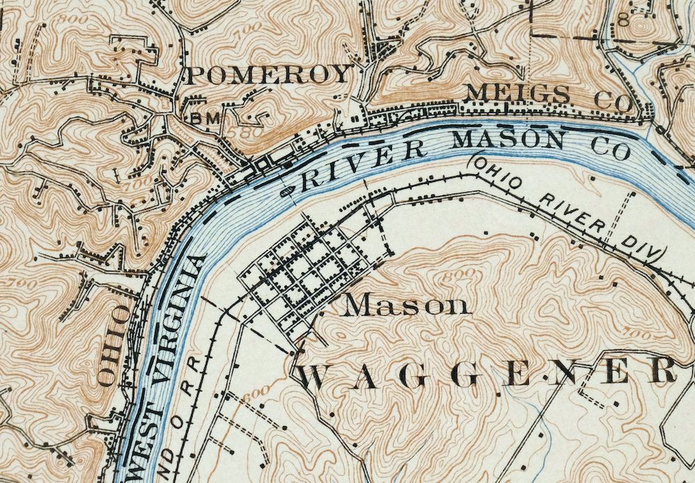
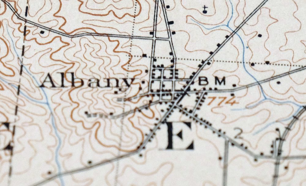
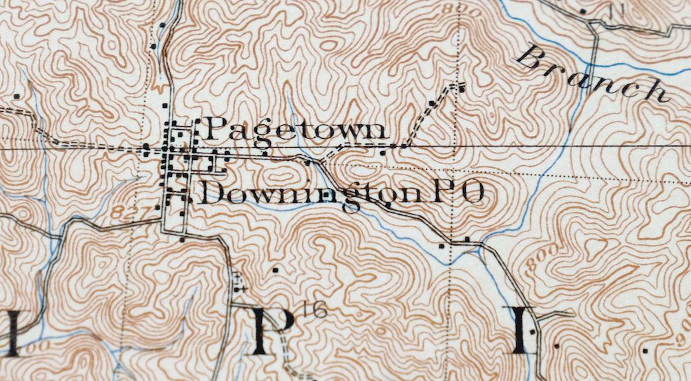
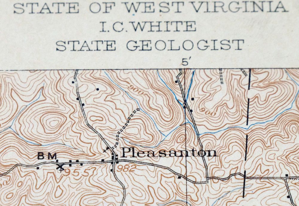
| MAP NOTES | A fascinating historical snapshot of the region from Albany to Pomeroy, surveyed before the modern road system, with historic travel routes and rail lines. |
| SHEET CONDITION For maps of this vintage, effort is made to note all visible flaws, no matter how minor. | |
| OVERALL CONDITION | Very Good |
| SHEET NOTES | lightly handled, never folded, lightly age-toned paper, an edge tear that extends from the right collar into the map area has been stabilized with transparent archival tape on backside of sheet |
| MAP AREA | no markings, no blemishes |
| COLLARS | minor blemishes, pencilled inventory notation in top collar, small inventory stamp on bottom right collar |
| MAP COVERAGE Quadrangle extent overlaid on current basemap. | |
| BACKSIDE LEGEND | |
 A map summary is printed on the back side of the Pomeroy sheet similar to the one shown in the picture. It outlines the history, purpose, and status of the USGS mapping program at the time of the printing in 1907. It also provides instructions on how to read contour lines and a description of how they are used to depict the terrain. At the bottom of the page is a legend showing all of the symbols used to represent the cultural, relief, and water features found on the map. | |
| PLACENAMES Depending on map series and survey date, all of the features listed below may not be shown on this map. This list contains features that currently exist or historically existed within the area covered by the map. The list can be used as a reference to determine if this map covers your area of interest. Placenames are listed alphabetically next to each feature type. | |
| CITIES AND TOWNS (CURRENT) | Albany, Dexter, Harrisonville, Hartford City, Mason, Middleport, Pomeroy, Rutland, and Shade |
| COUNTIES COVERED | Athens, Gallia, Mason, and Meigs |
| RIVERS AND STREAMS | Bailey Run, Ball Run, Bell Lick Run, Biddle Creek, Campaign Creek, Dexter Run, Duck Run, East Branch Thomas Fork, Flat Run, Forest Run, Hysell Run, Kingsbury Creek, Kyger Creek, Leading Creek, Little Leading Creek, Little Parker Run, Malloons Creek, Margaret Creek, Middle Branch Shade River, Mud Fork, North Branch Margaret Creek, Ogden Run, Ohio River, Parker Run, Peach Fork, Pratts Fork, Shepherds White Oak Creek, Sisson Run, Thomas Fork, West Branch Shade River, and Wolfpen Run |
| WATER BODIES | Lake Snowden, Margaret Creek Conservancy District Reservoir, Meigs Mine Number One Water Supply Reservoir, and Rainbow Lake |
| Ohio Locations: Meigs County Fairgrounds, Ohio State Agriculture Station, Southeastern Ohio Test Farm, and Woodyard. Administrative Boundaries: Township of Alexander, Township of Bedford, Township of Lee, Township of Rutland, Township of Salisbury, and Township of Scipio. Mountains, Peaks, and Summits: Rose Hill. Valleys and Canyons: Bone Hollow, Carter Oak Hollow, Dark Hollow, Grueser Hollow, and Long Hollow. Parks: Pomeroy Historic District. Drainages: Bailey Run, Ball Run, Dexter Run, Duck Run, East Branch Thomas Fork, Fivemile Run, Forest Run, Goose Creek, Grass Run, Hysell Run, Little Leading Creek, Little Parker Run, Malloons Creek, Monkey Run, Mud Fork, Naylors Run, North Branch Margaret Creek, Ogden Run, Parker Run, Peach Fork, Sisson Run, and Wolfpen Run. Churches: Chase Church, Albany Baptist Church, Bradford Church, Burlingham Church, Carlton Church, Carpenter Freewill Baptist Church, Enterprise Church, Dexter Church of Christ, Disciple Church, Dyesville Community Church, First Baptist Church of Middleport, Free Will Baptist Church, Hanning Church, Harrisonville Presbyterian Church, Hiland Chapel, Hysell Run Methodist Church, Laurel Cliff Free Methodist Church, Morris Chapel, Mount Union Church, Old Dexter Church, Pearl Chapel, Pleasant Hill Church, Pomeroy Seventh Day Adventist Church, Pomeroy United Methodist Church, Pratts Fork Church, Rock Springs United Methodist Church, Rutland Church of Christ, Saint Paul Lutheran Church, Townhouse Church, Trinity Congregational Church, and Zion Church. Hospitals: Veterans Memorial Hospital. Lakes and Ponds: Woods Lake. Dams: Lambert Pond Dam, Margaret Creek Watershed Project Number One Dam, Meigs Mine Number One Water Supply Dam, and Rainbow Lake Dam. Bridges: Pomeroy-Mason Toll Bridge. Airports: Ohio University Airport. Schools: Alexander Elementary School, Alexander High School, Alexander Junior High School, Bedford Elementary School, Bradbury Elementary School, Columbia Elementary School, Harrisonville Elementary School, Meigs High School, Pomeroy Elementary School, Rutland Elementary School, Rutland High School, Salisbury Elementary School, and Sugar Run Elementary School. Reservoirs and Tanks: Lake Snowden, Lambert Pond, Meigs Mine Number One Water Supply Reservoir, and Rainbow Lake. Towers: WMPO-AM (Middleport-Pomeroy) and WMPO-FM (Middleport). | |
| West Virginia Valleys and Canyons: Loudermilk Hollow. Bridges: Pomeroy-Mason Toll Bridge. Bends: Pomeroy Bend. Airports: Pomeroy-Mason Seaplane Base. Schools: Mason Elementary School and Wahama High School. Springs: Earl Ewing Spring and Oxan Love Spring. | |
| SHIPPING AND RETURNS | |
 This map sheet will be carefully rolled in a sturdy tube and shipped via the US Postal Service. If you find that the sheet you receive is not as described in the listing, you may ship it back to us for a refund of the purchase price. | |

Pomeroy Ohio Middleport Mason USGS Topo Map 1907 Antique
$37
Printed in 1907 in its year of first publication, this antique USGS topographic sheet is in very good condition, never folded and on thick stock, with light age-toning and an edge tear from the right collar stabilized with archival tape on the back. Drawn from an 1904 and 1905 field survey by geographer H.M. Wilson, it takes in a stretch of the Ohio River valley along the Ohio–West Virginia line, with the quad area including Pomeroy, Middleport, Albany, and Mason across Meigs, Athens, and Gallia counties. It records the country from Albany to Pomeroy before the modern road system, showing the historic travel routes and rail lines of the era; the reverse carries printed reference material about the mapping program and its symbols.
In stock
This antique sheet is a 1907 edition of the Pomeroy Ohio USGS topographic map. It is an authentic 119-year-old United States Geological Survey print in very good condition.
HOW THIS MAP CAN BE USED
In addition to making a fascinating conversation piece, this sheet would look great in a frame or on display, make a unique and prized gift for anyone interested in this area, be perfect as a reference for genealogy studies or general historical research, or fill that missing piece in your collection.
FEATURES SHOWN ON THE MAP
The Pomeroy 15-minute map shows cities and towns, roads, railroads, rivers, creeks, elevation contour lines, public land survey lines, county, state, and other administrative boundaries as they existed at the time of the survey in 1904 and 1905. All known structures (houses, businesses, churches, schools, barns, cabins, etc) are also shown, with exceptions in some urban areas, where only landmark buildings may be shown.
A VALUABLE HISTORICAL RECORD
Maps from the 15-minute series for the continental United States are no longer produced or printed by the USGS and original prints are becoming increasingly difficult to find. They are a valuable historical record for an area, as they contain many placenames and features that have been dropped from more recent maps.
Nearby maps
-

Point Pleasant West Virginia Middleport USGS Topo Map 1908
$25 Add to cart -

Ravenswood West Virginia New Haven Evans USGS Topo Map 1908
$40 Add to cart -

Parkersburg Ohio Marietta Vienna USGS Topo Map 1912 Antique
$63 Add to cart -

Winfield West Virginia Bancroft Southside USGS Topo Map 1908
$37 Add to cart -

Marietta Ohio Wayne NF Devola USGS Topo Map 1912 Antique
$62 Add to cart -

Saint Albans West Virginia Dunbar USGS Topographic Map 1909
$37 Add to cart -

Saint Marys West Virginia Ellenboro Pike USGS Topo Map 1916
$47 Add to cart -

Charleston West Virginia Cross Lanes Rand USGS Topo Map 1914
$68 Add to cart -

Era Ohio South Bloomfield Williamsport USGS Topo Map 1913
$40 Add to cart -

Garrison Kentucky Portsmouth York USGS Topo Map 1918 Antique
$32 Add to cart -

Pocatalico West Virginia Dunbar USGS Topographic Map 1977
$30 Add to cart -

Charleston West West Virginia Dunbar USGS Topo Map 1978
$22 Add to cart -

Kenova Kentucky Louisa Grayson USGS Topo Map 1912 Antique
$54 Add to cart -

Wayne West Virginia Dunlow Cove Gap USGS Topo Map 1909
$42 Add to cart -

Peytona West Virginia Marmet Belle USGS Topographic Map 1911
$42 Add to cart -
Mount Sterling Ohio Washington Midway USGS Topo Map 1925
$42 Add to cart -

Sutton West Virginia Glenville Elk River USGS Topo Map 1907
$75 Add to cart -
Sabina Ohio Leesburg New Vienna USGS Topo Map 1917 Antique
$42 Add to cart -
Seaman Ohio West Union West Union USGS Topo Map 1918 Antique
$62 Add to cart -

Octa Ohio Sabina Jamestown USGS 15-Min Topo Map 1916 Antique
$46 Add to cart -

Bald Knob West Virginia Mallory USGS Topo Map 1923 Antique
$50 Add to cart -

Warfield West Virginia Pikeville Harts USGS Topo Map 1911
$85 Add to cart -

South Charleston Ohio Springfield Catawba USGS Topo Map 1927
$50 Add to cart -

Nicholas West Virginia Summersville Cowen USGS Topo Map 1912
$54 Add to cart
