| MAP DETAILS | |
|---|---|
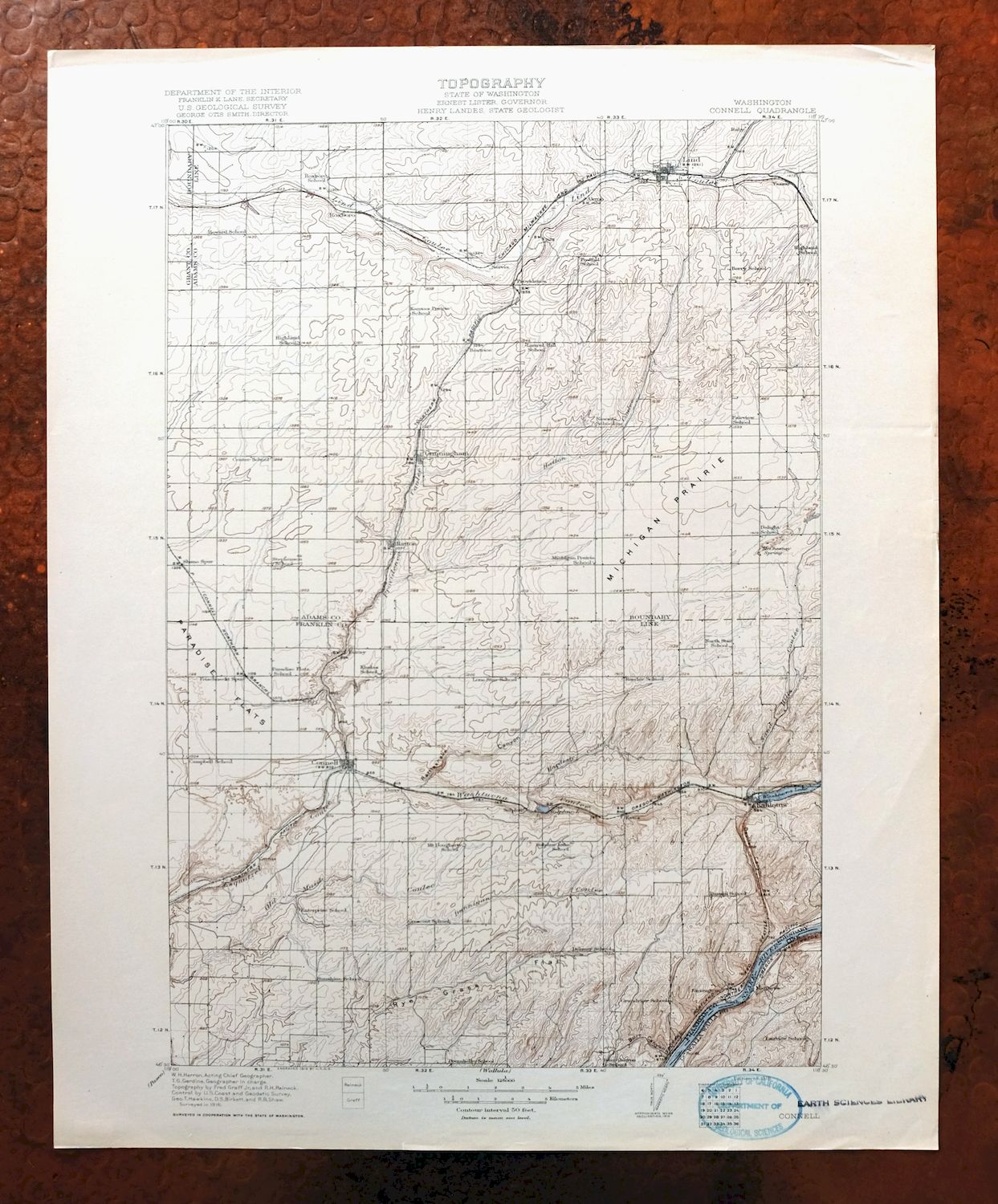
| TITLE | Connell |
| STATE | Washington |
| LOCATION | 40 miles northeast of Pasco |
| SERIES | 30-minute |
| SURVEYED | 1916 Field Survey |
| GEOGRAPHER | W.H. Herron |
| ENGRAVED | 1918 |
| EDITION | 1918 |
| PRINTED | 1918 |
| SCALE | 1:125000 |
| CONTOUR INTERVAL | 50 feet |
| SHEET DIMENSIONS | 16 x 20 inches (approximate) |
| MAP DIMENSIONS | 12 x 17 1/2 inches |
| COVERAGE AREA | 24 x 35 miles |
| SHEET CONDITION For maps of this vintage, effort is made to note all visible flaws, no matter how minor. | |
| OVERALL CONDITION | Excellent |
| SHEET NOTES | lightly handled, never folded |
| MAP AREA | flawless map area |
| COLLARS | no wear or tears, no markings, no blemishes, inventory stamp on lower collar |
| MAP COVERAGE Quadrangle extent overlaid on current basemap. | |
| BACKSIDE LEGEND | |
 A map summary is printed on the back side of the Connell sheet similar to the one shown in the picture. It outlines the history, purpose, and status of the USGS mapping program at the time of the printing in 1918. It also provides instructions on how to read contour lines and a description of how they are used to depict the terrain. At the bottom of the page is a legend showing all of the symbols used to represent the cultural, relief, and water features found on the map. | |
Connell Washington Lind Mesa USGS Topo Map 1918 Antique
$74
Printed in its year of first publication, 1918, this USGS 30-minute topographic sheet is in excellent condition—lightly handled, never folded, on thick stock, with a flawless map area and only an inventory stamp on the lower collar. The quad sits about 40 miles northeast of Pasco in the wheat country of the Columbia Basin, its boundaries taking in Connell, Lind, and Mesa along with the communities of Kahlotus, Hatton, and Cunningham across Adams, Franklin, Grant, and Walla Walla counties. Engraved in 1918 under geographer W.H. Herron and drawn from a 1916 field survey, it shows this stretch of eastern Washington farmland as it was mapped more than a century ago, and the reverse carries printed reference material on the mapping program and how to read the contours.
In stock
This antique sheet is a 1918 edition of the Connell Washington USGS topographic map. It is an authentic 108-year-old United States Geological Survey print in excellent condition.
HOW THIS MAP CAN BE USED
In addition to making a fascinating conversation piece, this sheet would look great in a frame or on display, make a unique and prized gift for anyone interested in this area, be perfect as a reference for genealogy studies or general historical research, or fill that missing piece in your collection.
FEATURES SHOWN ON THE MAP
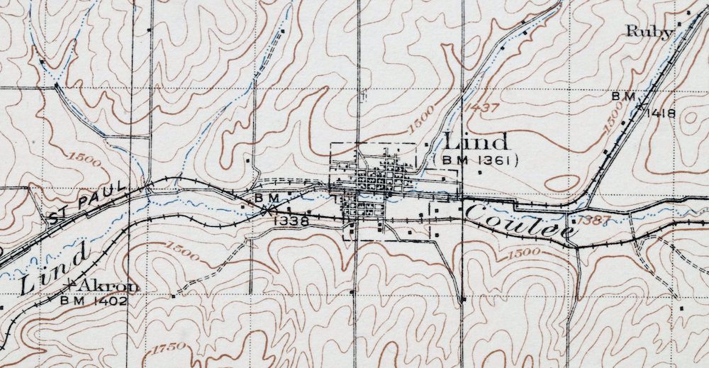
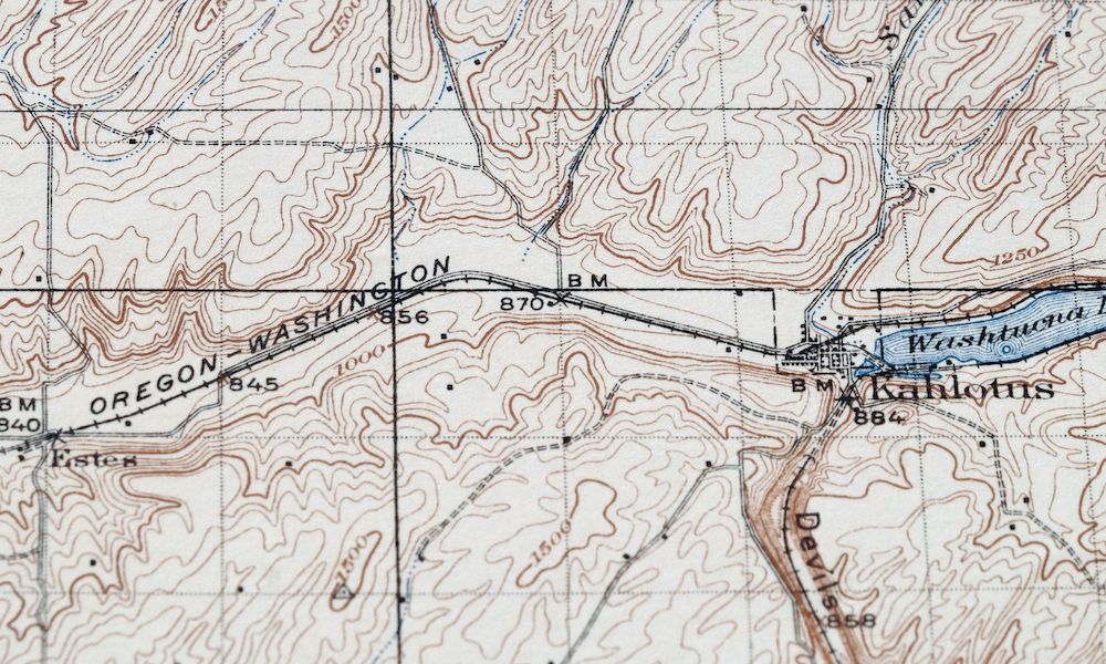
The Connell 30-minute map shows cities and towns, roads, railroads, rivers, creeks, elevation contour lines, public land survey lines, county, state, and other administrative boundaries as they existed at the time of the survey in 1916.
A VALUABLE HISTORICAL RECORD
Maps from the USGS 30-minute series have been out of print for many years. They have never been common and original prints are increasingly difficult to find. For areas where the 30-minute map was produced, it is usually the first large-scale survey done by the USGS for that area. These are a valuable historical record, as they contain many placenames and features that have been dropped from more recent series’ and editions.
PLACENAMES
The following places are found within the boundary of this quadrangle. They may or may not be shown or labeled, depending on the map series and vintage.
* Cities and Towns-> Connell, Cunningham, Hatton, Kahlotus, Lind, and Mesa
* Counties Covered-> Adams, Franklin, Grant, and Walla Walla
* Federal Land Units-> Lake Sacajawea
* Rivers and Streams-> Snake River
* Water Bodies-> Bailie Pond, Lake Kahlotus, Lake Herbert G. West, Lake Sacajawea, Sulphur Lake, T Lake, and Washtucna Lake
Nearby maps
-
Wallula Washington Finley Burbank USGS Topo Map 1918 Antique
$58 Add to cart -
Colockum Pass Washington Wenatchee USGS 30-Min Topo Map 1922
$48 Add to cart -

Oakesdale Washington Saint Joe NF Tekoa USGS Topo Map 1938
$56 Add to cart -

Cataldo Idaho Lakeview Osburn USGS Topo Map 1954 Vintage
$48 Add to cart -

Benge Washington Hooper Palouse River USGS Topo Map 1952
$35 Add to cart -
Red Rock Washington Royal City Smyrna USGS Topo Map 1911
$28 Add to cart -
Coyote Rapids Washington USGS 15-Min Topo Map 1916 Antique
$75 Add to cart -

La Crosse Washington Winona Palouse River USGS Topo Map 1952
$42 Add to cart -

Badger Mountain Washington South Richland USGS Topo Map 1978
$47 Add to cart -

Walla Walla Washington Langdon Mill Creek USGS Topo Map 1978
$52 Add to cart -
Grandview Washington Sunnyside USGS Topo Map 1951 Vintage
$42 Add to cart -
Boylston Washington Vantage Doris USGS Topographic Map 1943
$44 Add to cart -
Black Rock Spring Washington Yakima Ridge USGS Topo Map 1941
$45 Add to cart -
Yakima East Washington Union Gap USGS Topographic Map 1968
$45 Add to cart -
Wilbur Washington Creston USGS 15-Min Topo Map 1950 Vintage
$42 Add to cart -
Yakima East Washington Moxee Parker USGS Topo Map 1985
$38 Add to cart -
Rock Island Washington South Wenatchee USGS Topo Map 1967
$44 Add to cart -
Barker Canyon Washington USGS 7.5-Min Topo Map 1971 Vintage
$36 Add to cart -
Wellpinit Washington Long Lake Ford USGS Topo Map 1944
$42 Add to cart -

Clayton Washington Spokane USGS 15-Min Topo Map 1951 Vintage
$49 Add to cart -
Limekiln Rapids Idaho USGS 15-Min Topo Map 1946 Vintage
$32 Add to cart -

Deer Park Washington Spokane Fairwood USGS Topo Map 1951
$40 Add to cart -

Lucerne Washington USGS 15-Min Topographic Map 1949 Vintage
$42 Add to cart -
Snoqualmie Pass Washington Hyak USGS Topographic Map 1965
$21 Add to cart
