| MAP DETAILS | |
|---|---|
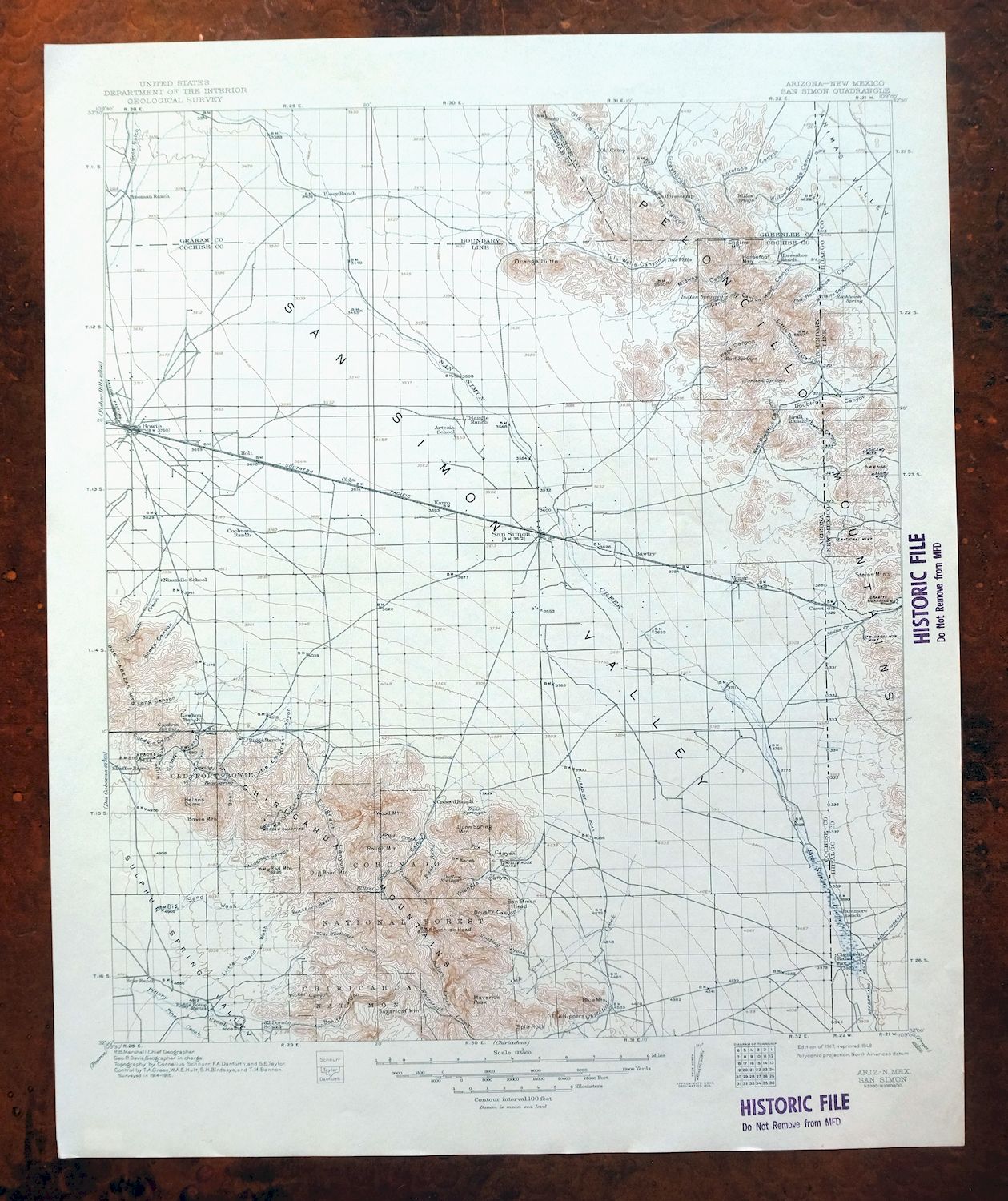
| TITLE | San Simon |
| STATE | Arizona, New Mexico |
| LOCATION | 30 miles west of Lordsburg, NM |
| SERIES | 30-minute |
| SURVEYED | 1914 and 1915 Field Survey |
| GEOGRAPHER | R.B. Marshall |
| ENGRAVED | 1917 |
| EDITION | 1917 |
| PRINTED | 1948 |
| SCALE | 1:125000 |
| CONTOUR INTERVAL | 100 feet |
| SHEET DIMENSIONS | 17 x 20 inches |
| MAP DIMENSIONS | 14 3/4 x 17 1/2 inches |
| COVERAGE AREA | 29 x 35 miles |
| SOURCE | From the vintage map collection of Art Christiansen, Tempe, Arizona |
| SHEET CONDITION For maps of this vintage, effort is made to note all visible flaws, no matter how minor. | |
| OVERALL CONDITION | Very Good |
| SHEET NOTES | lightly handled, never folded, smooth and flat, library stamps in collar |
| MAP AREA | flawless map area |
| COLLARS | no wear or tears, no markings, no blemishes |
| MAP COVERAGE Quadrangle extent overlaid on current basemap. | |
| BACKSIDE LEGEND | |
 A map summary is printed on the back side of the San Simon sheet similar to the one shown in the picture. It outlines the history, purpose, and status of the USGS mapping program at the time of the printing in 1948. It also provides instructions on how to read contour lines and a description of how they are used to depict the terrain. At the bottom of the page is a legend showing all of the symbols used to represent the cultural, relief, and water features found on the map. | |
San Simon Arizona Bowie USGS 30-Min Topo Map 1948 Vintage
$55
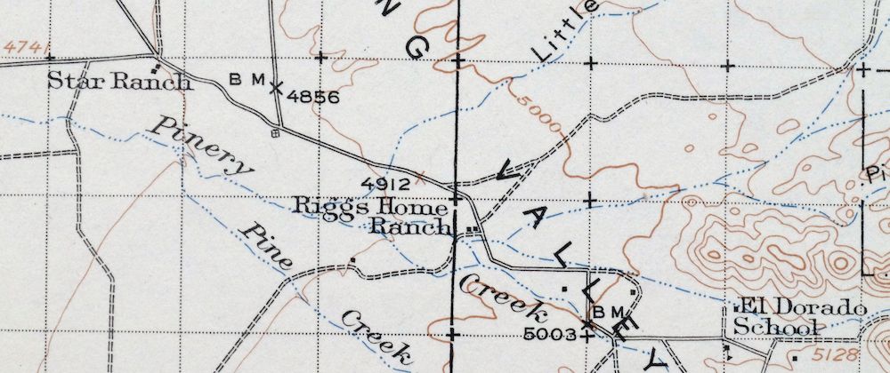
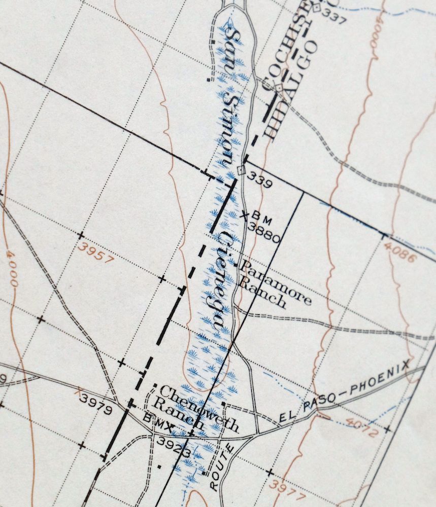
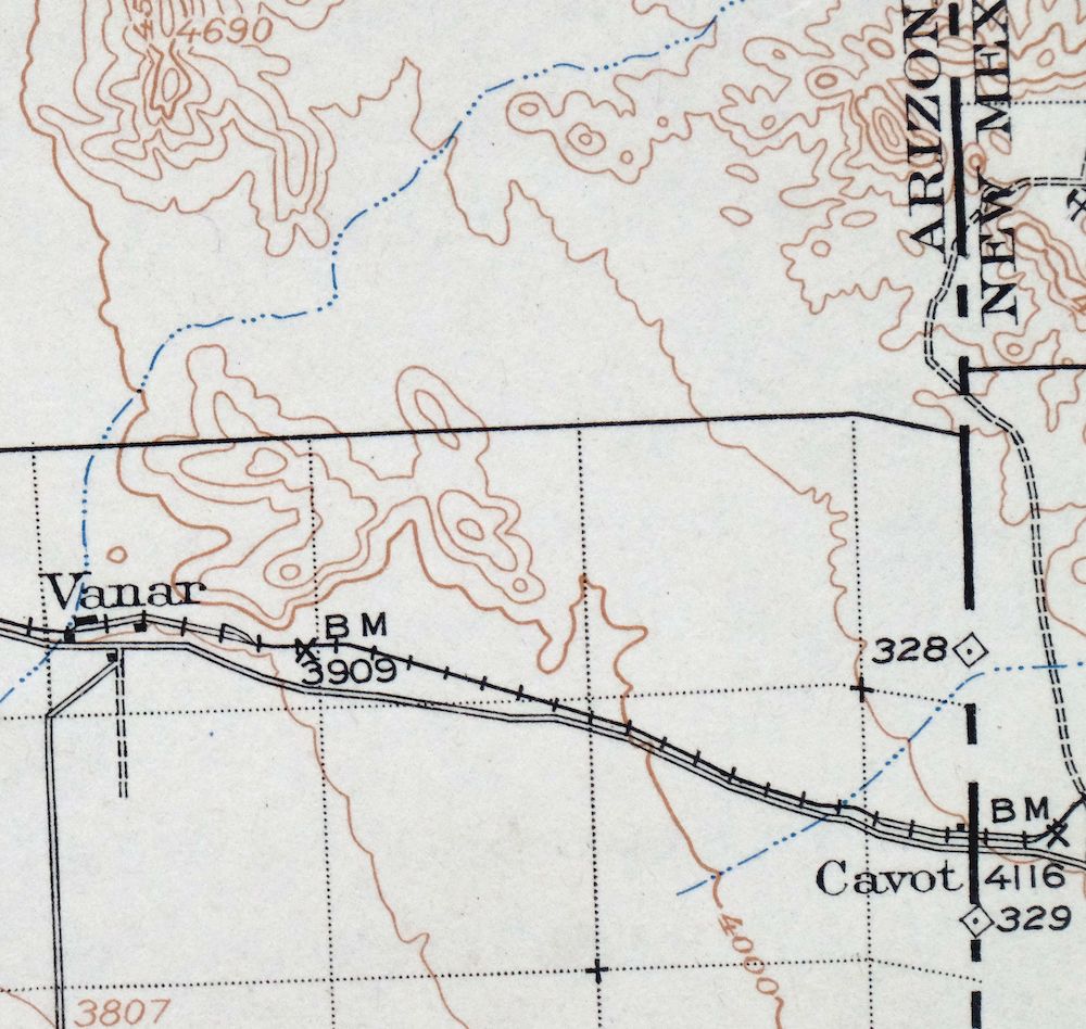
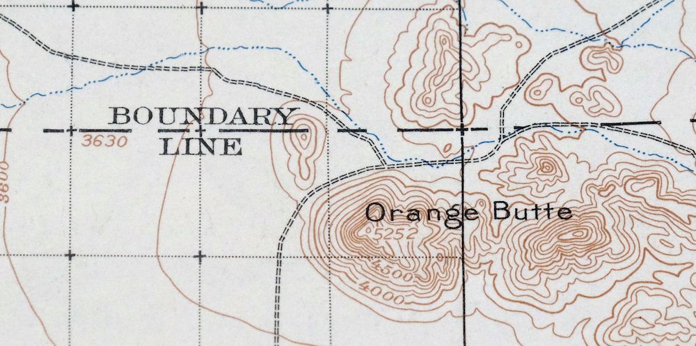
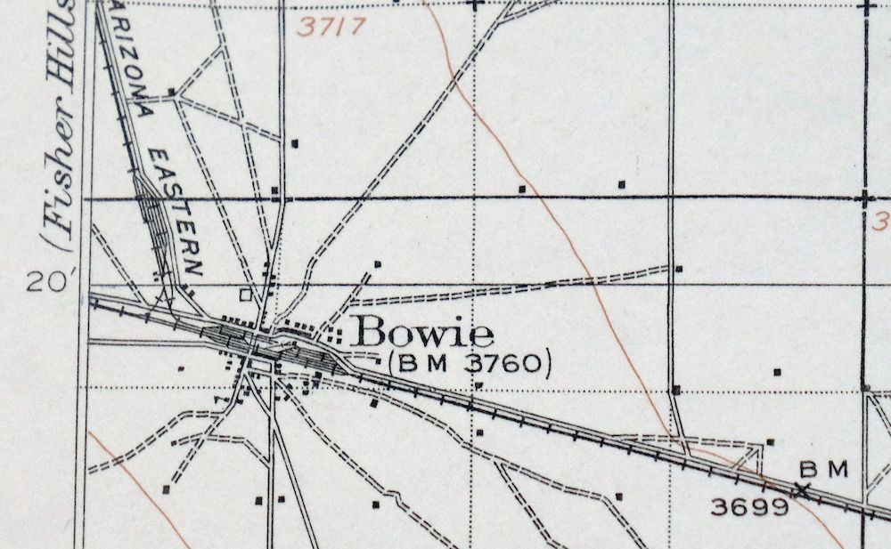
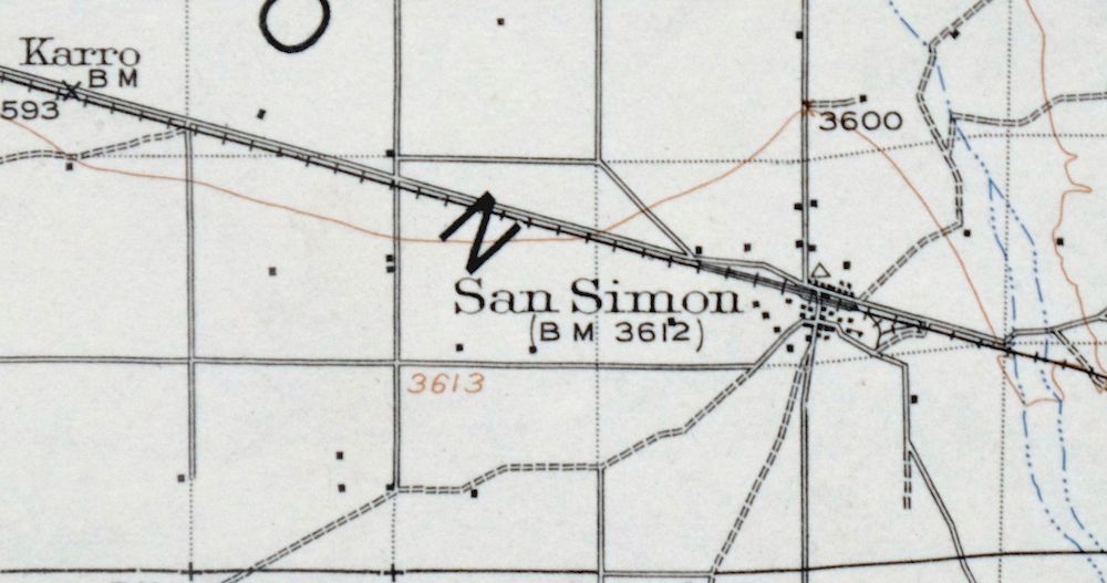
First published in 1917, this USGS 30-minute topographic sheet was printed in 1948 on thick stock and is in very good condition, never folded, smooth and flat, with library stamps in the collar. Straddling the Arizona-New Mexico line about 30 miles west of Lordsburg, the quad takes in the San Simon Valley, the communities of San Simon and Bowie, the Peloncillo Mountains, and part of the northern Chiricahua Mountains and Coronado National Forest. It shows the valley before the modern highway system, when the San Simon Cienega was a cottonwood-lined oasis, with numerous historic travel routes and placenames marked across the terrain. From the vintage map collection of Art Christiansen of Tempe, Arizona, the reverse carries printed reference material on the USGS mapping program of the day.
In stock
This vintage sheet is a 1917 edition of the San Simon Arizona USGS topographic map. It is an original 78-year-old 1948 United States Geological Survey print in very good condition.
HOW THIS MAP CAN BE USED
In addition to making a fascinating conversation piece, this sheet would look great in a frame or on display, make a unique and prized gift for anyone interested in this area, be perfect as a reference for genealogy studies or general historical research, or fill that missing piece in your collection.
FEATURES SHOWN ON THE MAP
The San Simon 30-minute map shows cities and towns, roads, railroads, rivers, creeks, elevation contour lines, public land survey lines, county, state, and other administrative boundaries as they existed at the time of the survey in 1914 and 1915.
A VALUABLE HISTORICAL RECORD
Maps from the USGS 30-minute series have been out of print for many years. They have never been common and original prints are increasingly difficult to find. For areas where the 30-minute map was produced, it is usually the first large-scale survey done by the USGS for that area. These are a valuable historical record, as they contain many placenames and features that have been dropped from more recent series’ and editions.
PLACENAMES
The following places are found within the boundary of this quadrangle. They may or may not be shown or labeled, depending on the map series and vintage.
* Cities and Towns-> Bowie and San Simon
* Counties Covered-> Cochise, Graham, Greenlee, and Hidalgo
* Federal Land Units-> Chiricahua National Monument, Chiricahua National Monument Wilderness, Coronado National Forest, Dos Cabezas Mountains Wilderness, Fort Bowie National Historic Site, and Peloncillo Mountains Wilderness
* Rivers and Streams-> Big Sand Wash, Bitter Creek, Brad Creek, Cave Creek, Cottonwood Creek, East Whitetail Creek, Happy Camp Wash, Indian Creek, Keating CreekOak Creek, and others
* Water Bodies-> Government Tank, Hat Top Tank, and McKenzie Tank
Nearby maps
-
Pearce Arizona McNeal Gleeson USGS Topo Map 1948 Vintage
$55 Add to cart -
Perilla Arizona Douglas USGS 30-Min Topo Map 1919 Antique
$57 Add to cart -

Morenci Arizona Clifton Blue River USGS 30-Min Topo Map 1954
$64 Add to cart -
Mogollon New Mexico Pleasanton Mule Creek USGS Topo Map 1964
$64 Add to cart -
Hereford Arizona Sierra Vista USGS Topo Map 1946 Vintage
$45 Add to cart -

Florence Arizona Apache Junction Superior USGS Topo Map 1917
$73 Add to cart -
Cochise Head Arizona USGS 15-Min Topo Map 1957 Vintage
$52 Add to cart -
Bowie Arizona USGS 15-Min Topographic Map 1950 Vintage
$45 Add to cart -
Chiricahua Peak Arizona Coronado NF USGS Topo Map 1962
$48 Add to cart -
Portal Arizona Rodeo USGS 15-Min Topo Map 1963 Vintage
$54 Add to cart -
Cochise Arizona Willcox USGS 15-Min Topo Map 1963 Vintage
$43 Add to cart -
Animas Peak New Mexico Coronado NF USGS 15-Min Topo Map 1932
$50 Add to cart -

Safford Arizona Thatcher Solomon USGS Topo Map 1980 Vintage
$58 Add to cart -

Winchester Mountains Arizona The Mesas USGS Topo Map 1962
$43 Add to cart -
College Peaks Arizona Douglas USGS Topo Map 1959 Vintage
$38 Add to cart -
Tombstone Arizona Walnut Gulch USGS Topo Map 1964 Vintage
$44 Add to cart -
Tombstone Arizona Sierra Vista USGS Topo Map 1959 Vintage
$58 Add to cart -
Bisbee Arizona USGS 7.5-Min Topographic Map 1978 Vintage
$49 Add to cart -

Bisbee Arizona Naco Mule Mountains USGS 15-Min Topo Map 1959
$52 Add to cart -
Benson Arizona Coronado NF St. David USGS Topo Map 1962
$49 Add to cart -

Klondyke Arizona USGS 15-Min Topographic Map 1971 Vintage
$48 Add to cart -
Empire Mountains Arizona Vail Pantano USGS Topo Map 1961
$48 Add to cart -
Hermanas New Mexico USGS 15-Min Topographic Map 1943 Vintage
$44 Add to cart -

Sunnyside Arizona Sierra Vista USGS Topo Map 1965 Vintage
$46 Add to cart
