MAP DETAILS | |
|---|---|
| TITLE | Badger Mountain |
| STATE | Washington |
| SURVEYED | 1963 and 1965 Aerial and Field Survey |
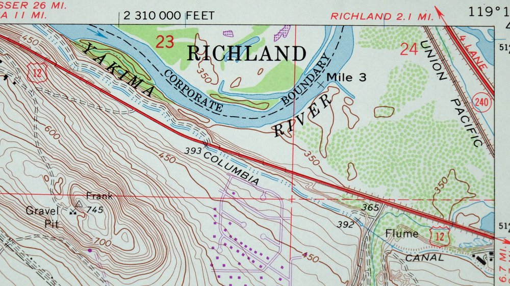
| REVISIONS | Photo revision in 1978 is shown in purple. |
| PRINT NOTES | Includes woodland tint (green to indicate vegetated areas) |
| SCALE | 1:24000 |
| CONTOUR INTERVAL | 10 feet |
| SHEET DIMENSIONS | 22 x 27 inches (approximate) |
| MAP DIMENSIONS | 15 3/4 x 22 3/4 inches |
| COVERAGE AREA | 6 x 9 miles |
| SHEET CONDITION For maps of this vintage, effort is made to note all visible flaws, no matter how minor. | |
| SHEET NOTES | very lightly handled, never folded, smooth and flat |
| MAP AREA | flawless map area |
| COLLARS | no wear or tears, library stamp in top collar, very small inventory notation in extreme lower right collar corner |
| MAP COVERAGE Quadrangle extent overlaid on current basemap. | |
| PLACENAMES Depending on map series and survey date, all of the features listed below may not be shown on this map. This list contains features that currently exist or historically existed within the area covered by the map. The list can be used as a reference to determine if this map covers your area of interest. Placenames are listed alphabetically next to each feature type. | |
| NOTABLE PLACES | South Richland |
| CITIES AND TOWNS (CURRENT) | Badger, Kennewick, and Richland |
| COUNTIES COVERED | Benton |
| RIVERS AND STREAMS | Yakima River |
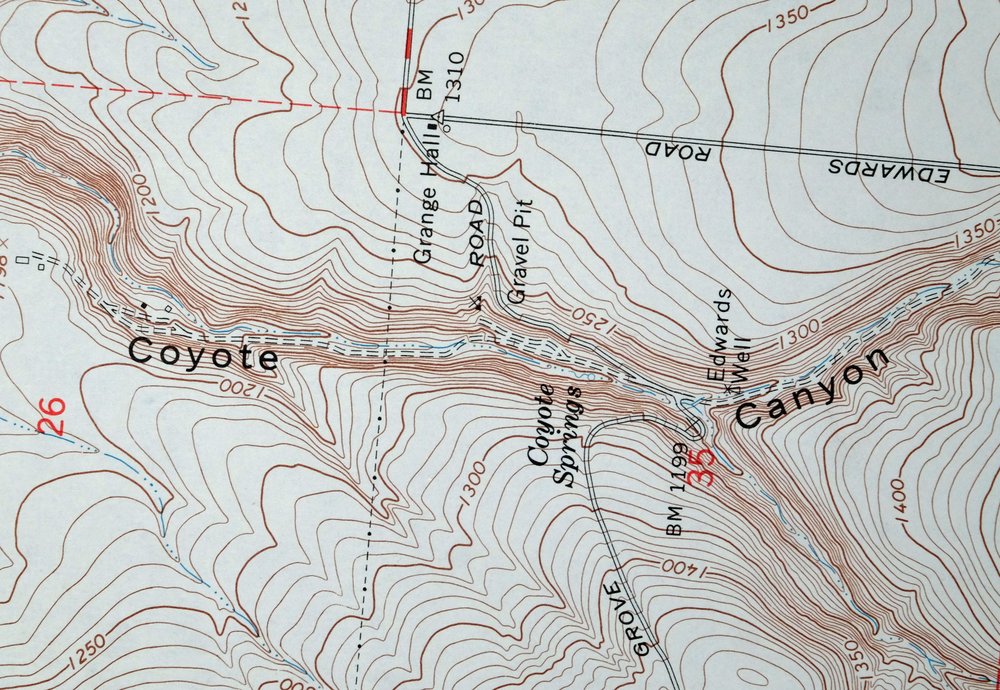
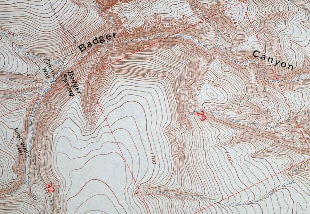
| Populated Place: Badger. Locations: Erie. Administrative Boundaries: Richland-Kennewick Division. Mountains, Peaks, and Summits: Badger Mountain. Valleys and Canyons: Badger Canyon, Scouten Canyon, and Sheep Canyon. Buildings: Benton County Fire District 1 Station 140 and Richland Fire and Emergency Services Station 72. Dams: Meadow Springs Dam. Gaps: Goose Gap. Canals: Columbia Canal, East Badger Lateral, and West Badger Lateral. Schools: Sunset View Elementary School. Reservoirs and Tanks: Meadow Springs Reservoir. Wells: Edwards Well, Root Well, and Youngs Well. Springs: Badger Spring and Coyote Springs. | |
| SHIPPING AND RETURNS | |
 Ships carefully rolled in a sturdy 2" x 24" mailing tube. Shipping and return details are in our terms. | |
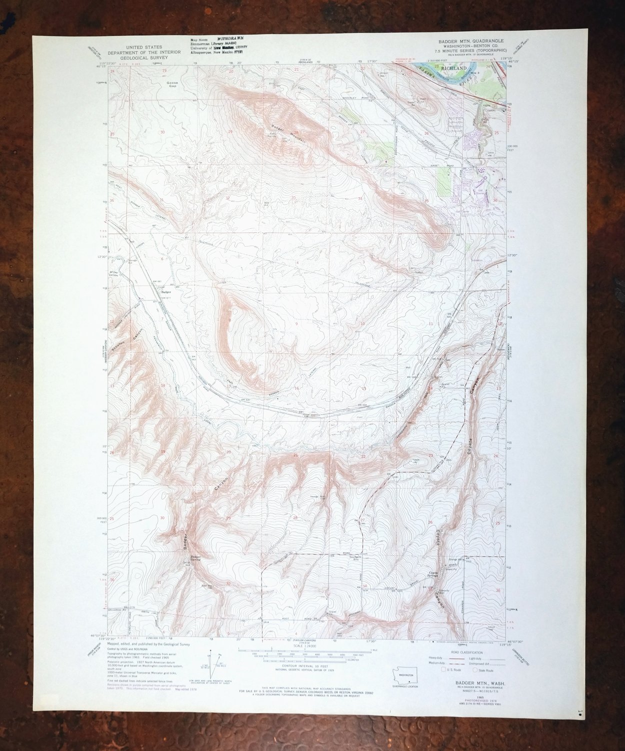
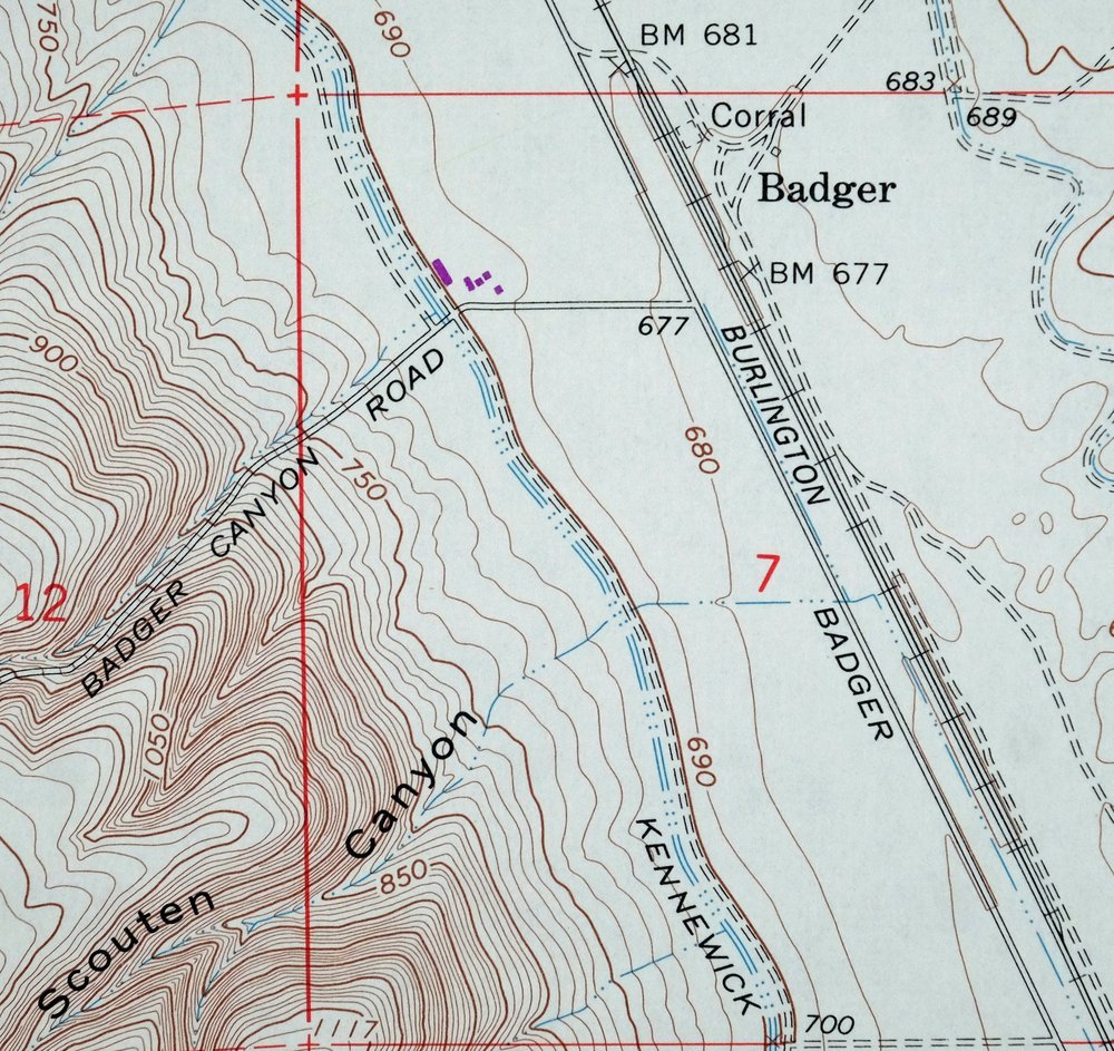
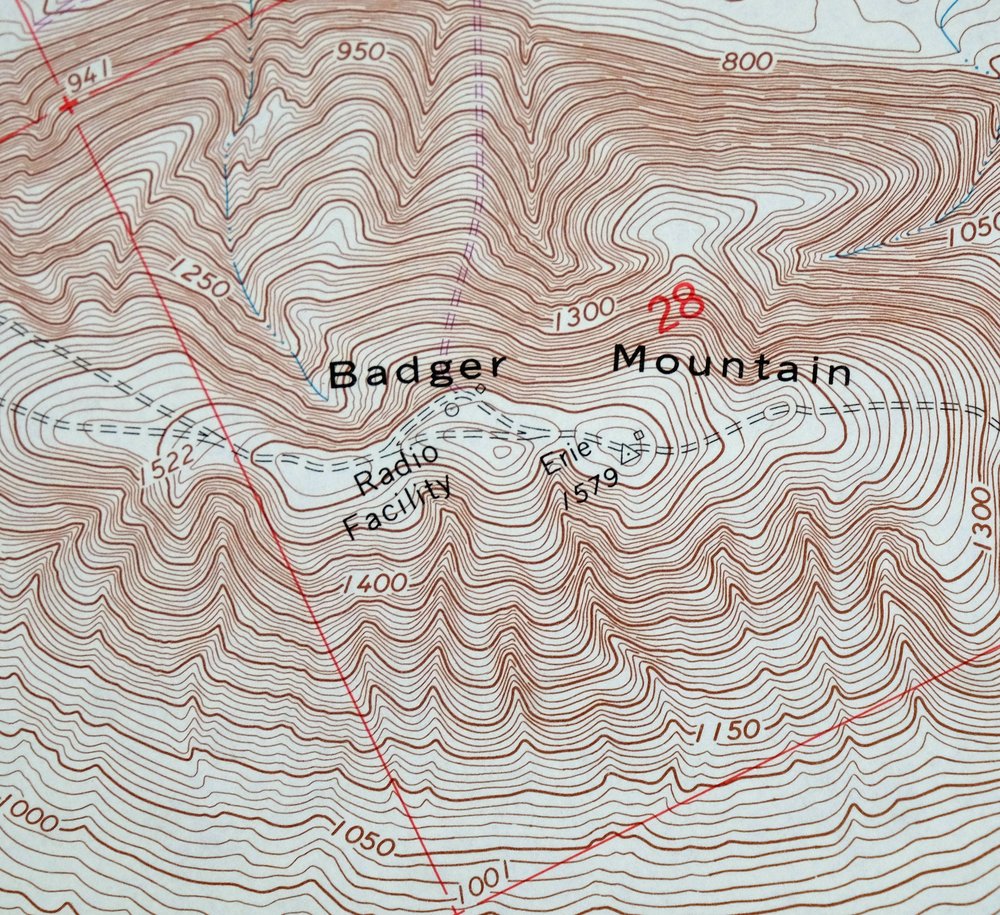
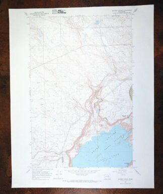
Badger Mountain, Washington 1965 USGS Topo Map
$33
Surveyed before the construction of Interstates 82 and 182.
- Vicinity of Kennewick.
- 7.5-minute series, 1965 edition, printed in 1978.
- Excellent condition, never folded.
In stock
This vintage sheet is a 1965 edition of the Badger Mountain Washington USGS topographic map revised in 1978 using aerial photography. It is an original 48-year-old 1978 United States Geological Survey print in excellent condition.
HOW THIS MAP CAN BE USED
In addition to making a fascinating conversation piece, this sheet would look great in a frame or on display, make a unique and prized gift for anyone interested in this area, be perfect as a reference for genealogy studies or general historical research, or fill that missing piece in your collection. Maps of this vintage are printed on durable stock and are well-suited for outdoor activities and recreation of all kinds, including hiking, backpacking, hunting, rafting and kayaking, backcountry skiing, geocaching, general exploration, treasure hunting, etc.
FEATURES SHOWN ON THE MAP
The Badger Mountain 7.5-minute map shows cities and towns, roads, paths, railroads, utilities and energy infrastructure, rivers, creeks, elevation contour lines, public land survey lines, county, state, and other administrative boundaries as they existed at the time of the survey in 1963 and 1965. All known structures (houses, businesses, churches, schools, barns, cabins, etc) are also shown.
A VALUABLE HISTORICAL RECORD
This map is from the 7.5-minute series, the most detailed series that is widely available from the USGS. The 1965 Badger Mountain map is a valuable historical record for the area. It contains some placenames and features that have been dropped from more recent maps.
The map was photorevised in 1978. Any features that changed or were added between the original edition year of 1965 and the photorevision year of 1978 are overlayed in purple. The purple overlay provides an excellent view of the fast-growing and changing areas within the quad boundary.
Nearby maps
-
1918 USGS Topo Map: Wallula, Walker, Washington/Oregon
$34 Add to cart -
Grandview, Sunnyside, Washington 1951 USGS Topo Map
$25 Add to cart -
Coyote Rapids, Washington 1916 USGS Topo Map
$43 Add to cart -

Connell, Washington 1918 USGS Topo Map: Lind
$29 Add to cart -
1941 USGS Topo Map: Black Rock Spring, Washington
$27 Add to cart -

Walla Walla, Washington/Oregon 1966 USGS Topo Map: Langdon
$34 Add to cart -
Red Rock, Washington 1911 USGS Topo Map: Royal City
$20 Add to cart -
Smyrna, Washington 1965 USGS Topo Map: Royal City
$35 Add to cart -
Yakima East, Washington 1953 USGS Army COE Topo Map
$21 Add to cart -
Yakima East, Washington 1941 USGS Topo Map: Terrace Heights
$44 Add to cart -
Yakima East, WA 1953 USGS Army COE Topo Map (1985 Print)
$36 Add to cart -
1943 USGS Topo Map: Boylston, Washington
$23 Add to cart -

1952 USGS Topo Map: Benge, Hooper, Washington
$30 Add to cart -
Ellensburg, Washington 1899 USGS Topo Map (1957 Print)
$30 Add to cart -

La Crosse, Winona, Washington 1952 USGS Topo Map
$29 Add to cart -
1922 USGS Topo Map: Colockum Pass, Trinidad, Washington
$31 Add to cart -
Mount Adams, Washington 1907 USGS Topo Map
$41 Add to cart -
Mount Adams, Washington 1907 USGS Topo Map (1964 Print)
$15 Add to cart -
Rock Island, Washington 1966 USGS Topo Map
$40 Add to cart -
Limekiln Rapids, Idaho/Washington 1946 USGS Topo Map
$27 Add to cart -
Grand Coulee Dam, Washington 1950 USGS Army COE Topo Map
$31 Add to cart -
Wilbur, Washington 1950 USGS Topo Map: Creston
$30 Add to cart -
Barker Canyon, Washington 1968 USGS Topo Map: Banks Lake
$35 Add to cart -

Oakesdale, Washington/Idaho 1905 USGS Topo Map (1938 Print)
$24 Add to cart
