MAP DETAILS | |
|---|---|
| TITLE | Oil Center |
| STATE | California |
| LOCATION | Vicinity of Bakersfield |
| SERIES | 7.5-minute |
| EDITION | 1954 |
| REVISIONS | Photo revision in 1968 is shown in purple. |
| PRINTED | 1970 |
| PRINT NOTES | Thick paper stock, includes woodland tint (green to indicate vegetated areas). A reddish tint is used to indicate urban areas where only landmark buildings are shown. |
| SCALE | 1:24000 |
| SHEET DIMENSIONS | 22 x 27 inches |
| MAP DIMENSIONS | 18 1/2 x 22 3/4 inches |
| COVERAGE AREA | 7 x 9 miles |
| SHEET CONDITION For maps of this vintage, effort is made to note all visible flaws, no matter how minor. | |
| OVERALL CONDITION | Very Good |
| SHEET NOTES | lightly handled, midsheet horizontal foldline (in half), title notation pencilled on backside of sheet |
| MAP AREA | no markings, no blemishes |
| COLLARS | no wear or tears, no markings, no blemishes |
| MAP COVERAGE Quadrangle extent overlaid on current basemap. | |
| PLACENAMES Depending on map series and survey date, all of the features listed below may not be shown on this map. This list contains features that currently exist or historically existed within the area covered by the map. The list can be used as a reference to determine if this map covers your area of interest. Placenames are listed alphabetically next to each feature type. | |
| CITIES AND TOWNS (CURRENT) | Bakersfield |
| COUNTIES COVERED | Kern |
| RIVERS AND STREAMS | Kern River |
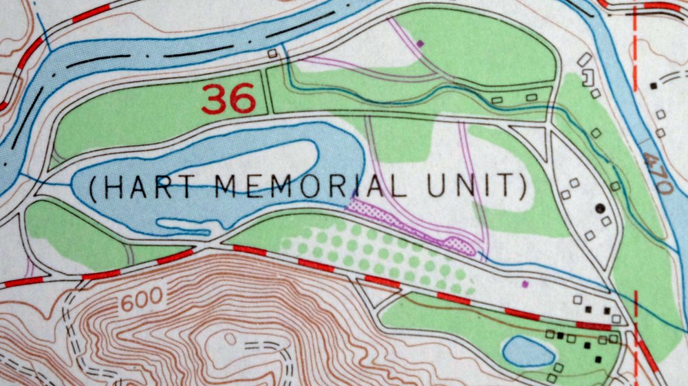
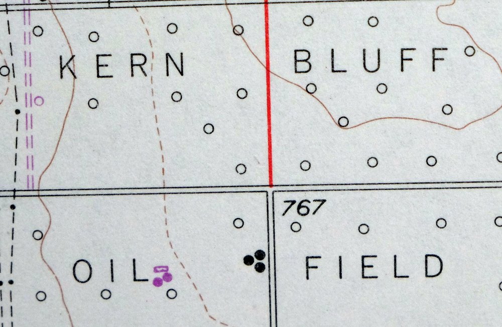
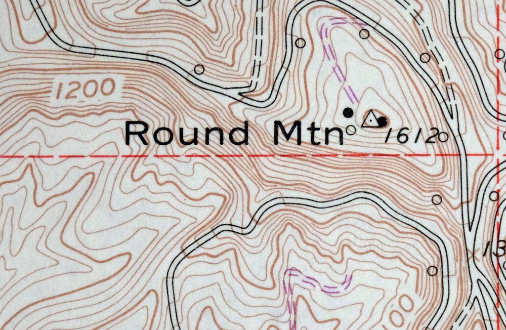
| Populated Place: East Bakersfield, Kern, Maltha, Oil City, Bakersfield Country Club, Choctaw Valley, East Niles, Goodmanville, Hillcrest, La Cresta, and Rivergrove. Locations: Oil Center, Treadwell, Volcan, Bakersfield Country Club, Camp Okihi, College Shopping Center, East Hills Mall Shopping Center, East Hills Village Shopping Center, Hillcrest Shopping Center, Mesa Marin Raceway, and Sagebrush Shopping Center. Administrative Boundaries: Bakersfield Division. Mountains, Peaks, and Summits: Ant Hill and Round Mountain. Valleys and Canyons: Sacramento Gulch and West Shore Gulch. Parks: College Park, Hart Memorial Unit, Heritage Park, Kern River County Park, Panorama Park, Siemon Park, Jefferson Park, Memorial Stadium, and University Park. Churches: Bakersfield Rescue Mission, Calvary Baptist Church, Canyon Community Church, Church of Christ, College Heights Congregational Church, East Hills Nazarene Church, El Buen Pastor Assembly of God Church, Emmanuel Lutheran Church, Faith Lighthouse, Faith Temple Pentecostal Church of God, First Hispanic Baptist Church, First Southern Baptist Church, First Southern Hispanic Baptist Church, Freedom Faith Fellowship Church, Grace General Baptist Church, Grace Reformed Church, Height Street Baptist Church, Heritage Bible Church of Bakersfield, Iglesia de Dios Pentecostal, Iglesia Restaurancion Cristiana, Kingdom Hall of Jehovahs Witnesses, La Trinidad Church, Lutheran Church of Prayer, Our Lady of Perpetual Help Church, Saint Clement Catholic Church, Saint Lukes Episcopal Church, Second Church of Christ Scientist, Templo Calvaria, Trinity United Methodist Church, United Pentecostal Church, University Avenue Christian Church, and University Baptist Church. Post Office: Crestmont Post Office and East Bakersfield Post Office. Hospitals: Bakersfield Memorial Hospital and Kern Medical Center. Buildings: Baker Street Branch Kern County Library, Bakersfield Fire Department Station 2, Bakersfield Fire Department Station 4, California Living Museum, Northeast Bakersfield Branch Kern County Library, Bakersfield Fire Department Station 8, and Kern County Fire Department Station 42 Niles. Dams: Beardsley Weir. Crossings: Gordons Ferry. Airports: Kern Medical Center Heliport. Census: Bakersfield Country Club Census Designated Place, Choctaw Valley Census Designated Place, East Bakersfield Census Designated Place, Goodmanville Census Designated Place, Hillcrest Census Designated Place, La Cresta Census Designated Place, and Rivergrove Census Designated Place. Schools: Aztec School, Bakersfield College, Bakersfield Junior Academy, College Heights School, Colonel Howard Nichols Elementary School, Compton Junior High School, East Bakersfield High School, Harding Elementary School, Henry Eissler Elementary School, Horace Mann Elementary School, Hort Elementary School, Jefferson Elementary School, Myra A Noble Elementary School, Washington Middle School, Williams Elementary School, Carden School, Chipman Junior High School, Heritage Academy, Highland High School, Juliet Thorner Elementary School, and Our Lady of Perpetual Help School. Reservoirs and Tanks: Hart Park Lake. Towers: KAFY-AM (Bakersfield), KHIS-FM (Bakersfield), KPRX-FM (Bakersfield), KTQX-FM (Bakersfield), KXEM-AM (Bakersfield), and KZPM-AM (Bakersfield). Oilfields: Kern Bluff Oil Field, Kern River Oil Field, Round Mountain Oil Field, and Sharktooth Oil Field. Cemetery: Greenlawn Memorial Park and Hillcrest Memorial Park Cemetery. | |
| SHIPPING AND RETURNS | |
 This map sheet will be carefully rolled in a sturdy tube and shipped via the US Postal Service. If you find that the sheet you receive is not as described in the listing, you may ship it back to us for a refund of the purchase price. | |
Oil Center California Bakersfield USGS Topo Map 1970 Vintage
$40
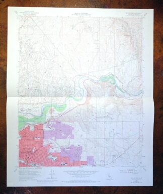
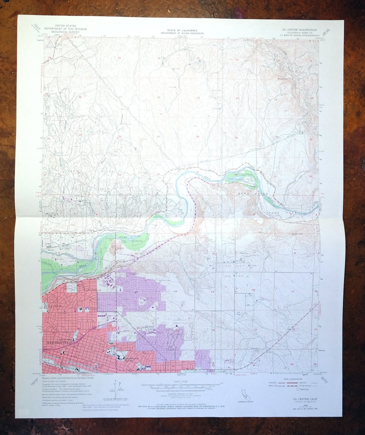
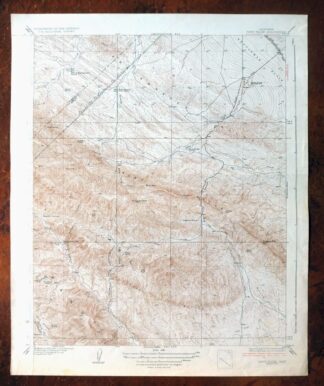
This USGS 7.5-minute topographic sheet is a 1954 edition carrying photorevisions through 1968, printed in 1970 on thick stock and in very good condition. It takes in a stretch of Kern County east of Bakersfield, with the map area itself lightly handled and free of markings or blemishes across both the map and collar. The Oil Center name reflects the working oilfield country of the southern San Joaquin Valley, and the 1968 revisions record how the roads and development in this pocket of Kern County had changed by that year. A single midsheet horizontal foldline runs across the sheet, and a title notation is pencilled on the back.
In stock
This vintage sheet is a 1954 edition of the Oil Center California USGS topographic map revised in 1968 using aerial photography. It is an original 56-year-old 1970 United States Geological Survey print in very good condition.
HOW THIS MAP CAN BE USED
In addition to making a fascinating conversation piece, this sheet would look great in a frame or on display, make a unique and prized gift for anyone interested in this area, be perfect as a reference for genealogy studies or general historical research, or fill that missing piece in your collection. Maps of this vintage are printed on durable stock and are well-suited for outdoor activities and recreation of all kinds, including hiking, backpacking, hunting, rafting and kayaking, backcountry skiing, geocaching, general exploration, treasure hunting, etc.
FEATURES SHOWN ON THE MAP
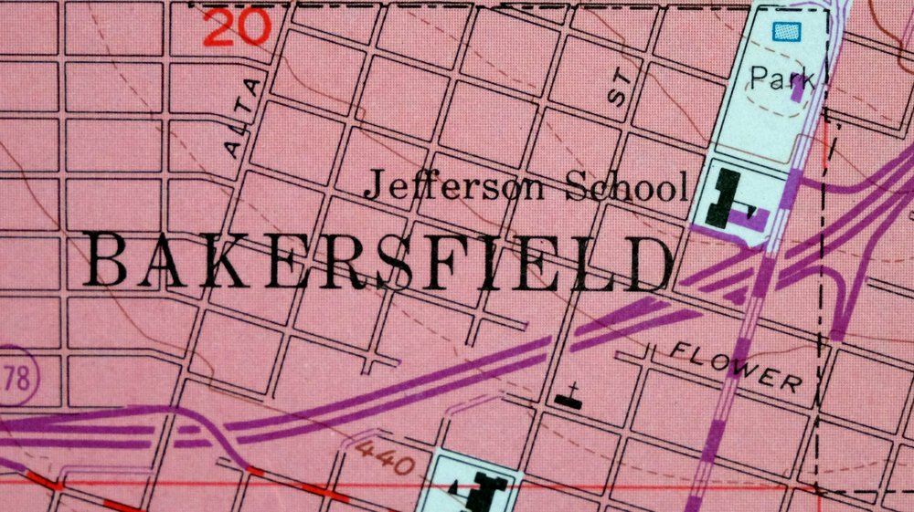
The Oil Center 7.5-minute map shows cities and towns, roads, paths, railroads, utilities and energy infrastructure, rivers, creeks, elevation contour lines, public land survey lines, county, state, and other administrative boundaries as they existed at the time of the survey. A reddish tint is used on this sheet to indicate urban areas where only landmark buildings are depicted. Outside of those areas, all known structures (houses, businesses, churches, schools, barns, cabins, etc) are shown.
A VALUABLE HISTORICAL RECORD
This map is from the 7.5-minute series, the most detailed series that is widely available from the USGS. The 1954 Oil Center map is a valuable historical record for the area. It contains some placenames and features that have been dropped from more recent maps.
The map was photorevised in 1968. Any features that changed or were added between the original edition year of 1954 and the photorevision year of 1968 are overlayed in purple. The purple overlay provides an excellent view of the fast-growing and changing areas within the quad boundary.
Nearby maps
-
Fairfax School California Lamont USGS Topographic Map 1939
$44 Add to cart -
Gosford California Bakersfield USGS Topo Map 1941 Antique
$43 Add to cart -
Gosford California Bakersfield USGS Topo Map 1970 Vintage
$30 Add to cart -

Rosedale California Prospero Chrome USGS Topo Map 1941
$42 Add to cart -
Stevens California Bakersfield Rosedale USGS Topo Map 1940
$38 Add to cart -

Quincy School California White River USGS Topo Map 1929
$30 Add to cart -
Richgrove California USGS 7.5-Min Topo Map 1942 Antique
$37 Add to cart -
Slater California Delano Shafter USGS Topo Map 1942 Antique
$38 Add to cart -

Emerald Mountain California USGS 15-Min Topographic Map 1943
$37 Add to cart -
California Hot Springs California USGS Topo Map 1974 Vintage
$46 Add to cart -

Sausalito School California USGS Topo Map 1929 Antique
$25 Add to cart -

Santiago Creek California USGS 7.5-Min Topo Map 1945 Vintage
$23 Add to cart -

Reynolds Ranch California Lost Hills USGS Topo Map 1940
$23 Add to cart -
Camp Nelson California USGS 15-Min Topo Map 1977 Vintage
$40 Add to cart -
Simmler California USGS 15-Min Topographic Map 1943 Vintage
$32 Add to cart -

Shale Point California Temblor Range USGS Topo Map 1943
$22 Add to cart -

El Rico Ranch California Helm Corner USGS Topo Map 1936
$24 Add to cart -

Salisbury Potrero California USGS Topo Map 1944 Vintage
$25 Add to cart -
Exeter California Visalia Ivanhoe USGS Topographic Map 1944
$37 Add to cart -

Remnoy California Hamblin Hanford USGS Topo Map 1927 Antique
$30 Add to cart -
Ivanhoe California Woodlake USGS Topo Map 1946 Vintage
$34 Add to cart -
Kettleman Plain California Avenal USGS Topo Map 1933 Antique
$20 Add to cart -
Moorpark California Somis USGS 7.5-Min Topo Map 1978 Vintage
$42 Add to cart -
Reef Ridge California Avenal USGS Topo Map 1937 Antique
$16 Add to cart