MAP DETAILS | |
|---|---|
| TITLE | Neenach |
| STATE | California |
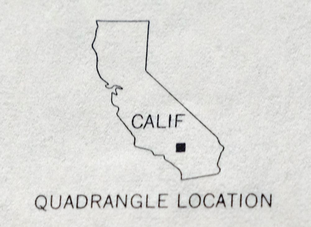
| LOCATION | 60 miles north of Los Angeles |
| SERIES | 15-minute |
| SURVEYED | 1943 Aerial and Field Survey |
| EDITION | 1943 |
| PRINTED | 1962 |
| PRINT NOTES | Thick paper stock, includes woodland tint (green to indicate vegetated areas) |
| SCALE | 1:62500 |
| CONTOUR INTERVAL | 100 feet |
| SHEET DIMENSIONS | 17 x 21 inches |
| MAP DIMENSIONS | 14 3/8 x 17 1/2 inches |
| COVERAGE AREA | 14 x 17 miles |
| SHEET CONDITION For maps of this vintage, effort is made to note all visible flaws, no matter how minor. | |
| OVERALL CONDITION | Very Good |
| SHEET NOTES | lightly handled, never folded |
| MAP AREA | flawless map area |
| COLLARS | no wear or tears, no blemishes, small stray mark in upper right collar corner |
| MAP COVERAGE Quadrangle extent overlaid on current basemap. | |
| PLACENAMES Depending on map series and survey date, all of the features listed below may not be shown on this map. This list contains features that currently exist or historically existed within the area covered by the map. The list can be used as a reference to determine if this map covers your area of interest. Placenames are listed alphabetically next to each feature type. | |
| COUNTIES COVERED | Kern and Los Angeles |
| RIVERS AND STREAMS | Cottonwood Creek |
| WATER BODIES | Holiday Lake |
| Locations: Antelope Station, Barnes Ranch, Basque Encino, Cluff Ranch, Cole Ranch, Gorrindo Ranch, La Liebre Ranch, Manzana Ranch, Neenach Ranch, Neenach Substation, Oso Pumping Plant, Pecks Ranch, Quinn Ranch, Schamp Ranch, Snyder Ranch, and Spencer Ranch. Administrative Boundaries: La Liebre. Mountain Ranges: Tehachapi Mountains. Mountains, Peaks, and Summits: Liebre Twins. Valleys and Canyons: Adams Canyon, Canada del Agua Escondida, Antelope Canyon, Baldwin Grade Canyon, Bear Canyon, Big Sycamore Canyon, Bronco Canyon, Burnside Canyon, Canyon Del Secretario, Cedar Canyon, Cottonwood Canyon, Cow Spring Canyon, Canyon del Gato-Montes, Happy Valley, Hayes Canyon, Horse Camp Canyon, Canyon de la Lecheria, Little Oak Canyon, Little Sycamore Canyon, Marble Spring Canyon, Oso Canyon, Pine Canyon, Rivera Canyon, Spencer Canyon, Stratton Canyon, Tentrock Canyon, and Woodchoppers Canyon. Drainages: Los Alamos Creek, Pescado Creek, Sacatara Creek, and Witch Creek. Lakes and Ponds: Holiday Lake. Bays: Tehachapi Afterbay. Airports: Quail Lake Sky Park. Schools: Neenach Elementary School. Ridges: Geghus Ridge, Middle Ridge, Purdie Ridge, and Winters Ridge. Flats: Lopez Flats. Tunnels: Carley V Porter Tunnel. Springs: Bad Name Spring, Cow Chip Spring, Elderberry Springs, Hog Spring, Juan Yaqui Spring, Lower Araujo Spring, Lower Cow Chip Spring, Purdie Canyon Spring, Purdie Spring, Tule Spring, Upper Araujo Spring, and Urcado Springs. | |
| SHIPPING AND RETURNS | |
 This map sheet will be carefully rolled in a sturdy tube and shipped via the US Postal Service. If you find that the sheet you receive is not as described in the listing, you may ship it back to us for a refund of the purchase price. | |
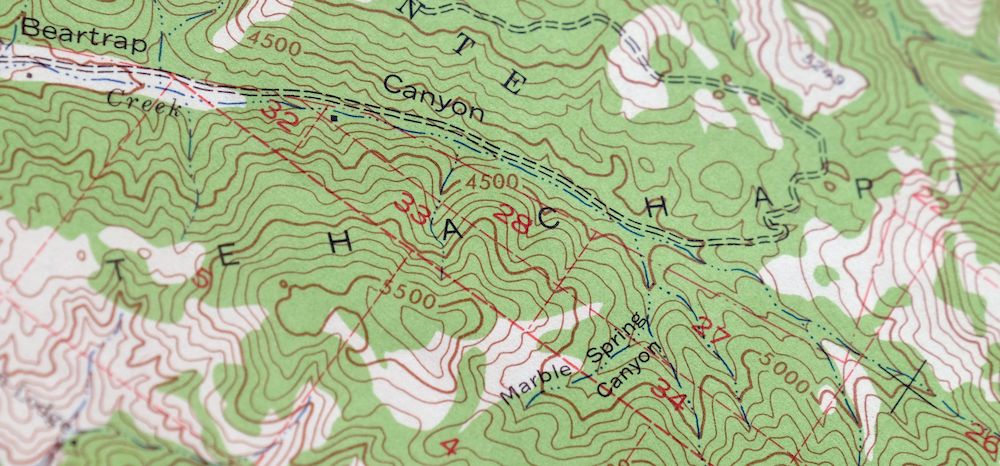
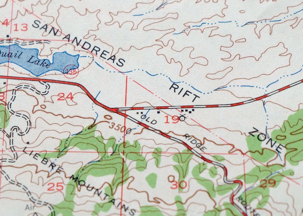
Neenach California USGS 15 Minute Topo Map 1962 Vintage
$37
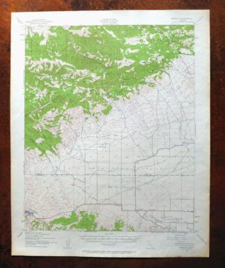
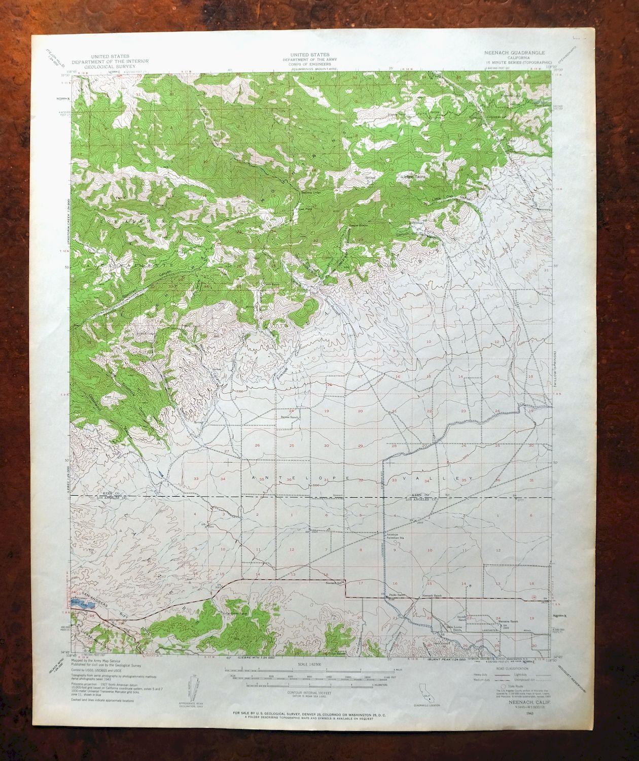
This is a 1943 edition of the Neenach quadrangle in southern California, printed in 1962 at a scale of 1:62,500. The quad straddles the Kern–Los Angeles county line about 60 miles north of Los Angeles, covering roughly 14 by 17 miles of the western Antelope Valley along the San Andreas Fault. The green woodland tint marks vegetated ground against the open valley floor. In very good condition, flawless across the map area and never folded, the sheet would frame well.
In stock
This vintage sheet is a 1943 edition of the Neenach California USGS topographic map. It is an original 64-year-old 1962 United States Geological Survey print in very good condition.
HOW THIS MAP CAN BE USED
In addition to making a fascinating conversation piece, this sheet would look great in a frame or on display, make a unique and prized gift for anyone interested in this area, be perfect as a reference for genealogy studies or general historical research, or fill that missing piece in your collection. Maps of this vintage are printed on durable stock and are well-suited for outdoor activities and recreation of all kinds, including hiking, backpacking, hunting, rafting and kayaking, backcountry skiing, geocaching, general exploration, treasure hunting, etc.
FEATURES SHOWN ON THE MAP
The Neenach 15-minute map shows cities and towns, roads, railroads, utilities and energy infrastructure, rivers, creeks, elevation contour lines, public land survey lines, county, state, and other administrative boundaries as they existed at the time of the survey in 1943. All known structures (houses, businesses, churches, schools, barns, cabins, etc) are also shown.
A VALUABLE HISTORICAL RECORD
Maps from the 15-minute series for the continental United States are no longer produced or printed by the USGS and original prints are becoming increasingly difficult to find. They are a valuable historical record for an area, as they contain many placenames and features that have been dropped from more recent maps.
Nearby maps
-
Rosamond California Lancaster Actis USGS Topo Map 1957
$27 Add to cart -

Emerald Mountain California USGS 15-Min Topographic Map 1943
$37 Add to cart -
Rock Creek California Angeles NF USGS Topo Map 1903 Antique
$52 Add to cart -
Slater California Delano Shafter USGS Topo Map 1942 Antique
$38 Add to cart -
Shadow Mountains California El Mirage USGS Topo Map 1948
$28 Add to cart -
San Antonio California Wrightwood USGS Topo Map 1903 Antique
$42 Add to cart -
Fairfax School California Lamont USGS Topographic Map 1939
$44 Add to cart -
Gosford California Bakersfield USGS Topo Map 1941 Antique
$43 Add to cart -
Gosford California Bakersfield USGS Topo Map 1970 Vintage
$30 Add to cart -

Santiago Creek California USGS 7.5-Min Topo Map 1945 Vintage
$23 Add to cart -
Santa Susana California Brandeis USGS Topographic Map 1970
$42 Add to cart -

San Fernando California Angeles NF USGS Topographic Map 1955
$26 Add to cart -
Oil Center California Bakersfield USGS Topo Map 1970 Vintage
$40 Add to cart -
Moorpark California Somis USGS 7.5-Min Topo Map 1978 Vintage
$42 Add to cart -
Stevens California Bakersfield Rosedale USGS Topo Map 1940
$38 Add to cart -
Santa Paula California Camarillo USGS Topo Map 1980 Vintage
$49 Add to cart -

Rosedale California Prospero Chrome USGS Topo Map 1941
$42 Add to cart -
Saticoy California El Rio Montalvo USGS Topographic Map 1968
$39 Add to cart -
Newbury Park California Camarillo USGS Topographic Map 1972
$45 Add to cart -

Salisbury Potrero California USGS Topo Map 1944 Vintage
$25 Add to cart -

Quincy School California White River USGS Topo Map 1929
$30 Add to cart -
Inglewood California Los Angeles Torrance USGS Topo Map 1965
$48 Add to cart -
Richgrove California USGS 7.5-Min Topo Map 1942 Antique
$37 Add to cart -
California Hot Springs California USGS Topo Map 1974 Vintage
$46 Add to cart