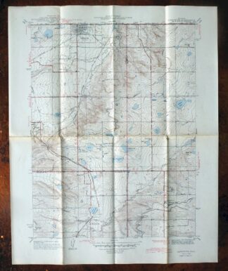
MAP DETAILS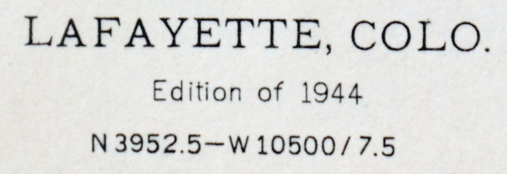 | |
|---|---|
| TITLE | Lafayette |
| STATE | Colorado |
| LOCATION | Vicinity of Westminster |
| SERIES | 7.5-minute |
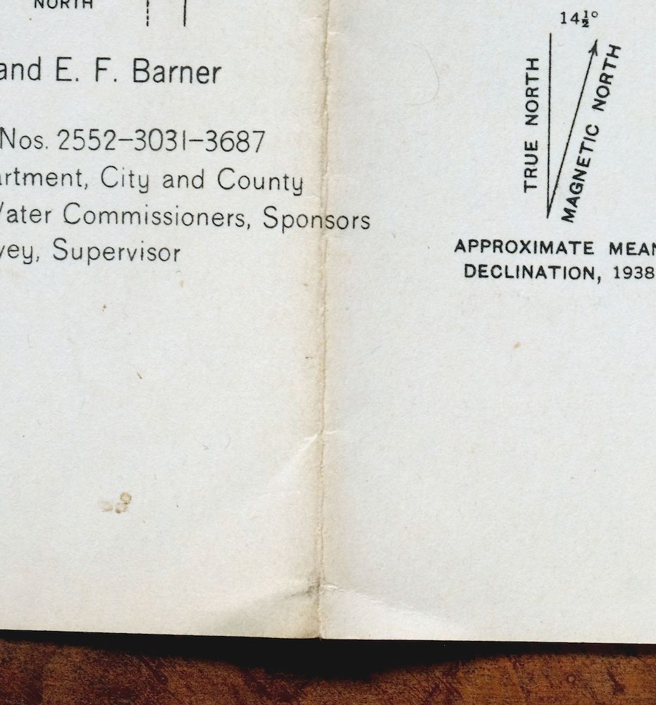
| SURVEYED | 1938 Field Survey |
| GEOGRAPHER | C.E. Blunt |
| EDITION | 1944 |
| PRINTED | 1944 |
| PRINT NOTES | Thick paper stock |
| SCALE | 1:31680 |
| CONTOUR INTERVAL | 10 feet |
| SHEET DIMENSIONS | 17 x 21 inches |
| MAP DIMENSIONS | 13 1/4 x 17 1/4 inches |
| COVERAGE AREA | 7 x 9 miles |
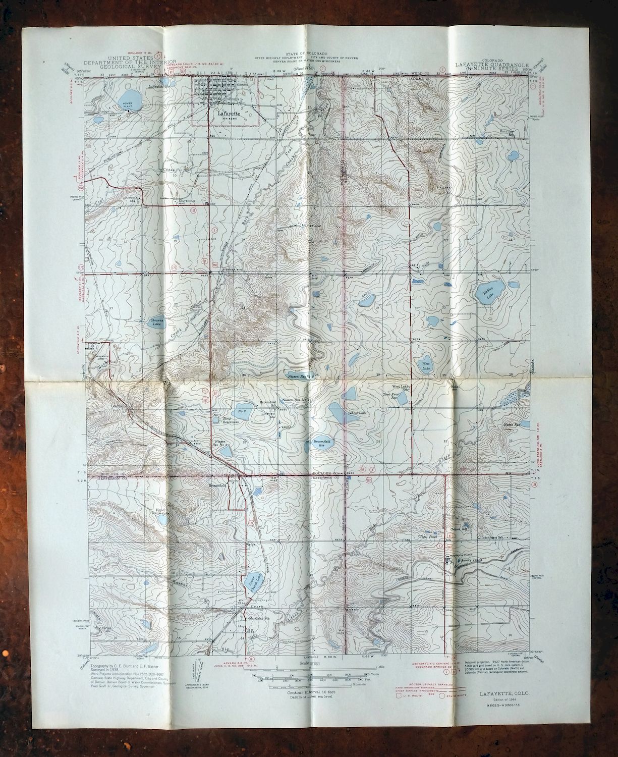
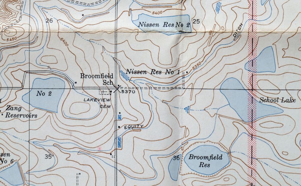
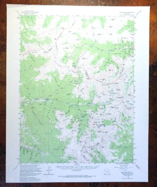
| MAP NOTES | A fascinating historical snapshot of the Broomfield and Lafayette area between Boulder and Denver, depicting the pre-suburban landscape before the modern highway system, showing rail lines, schools, churches, cemeteries, and placenames. |
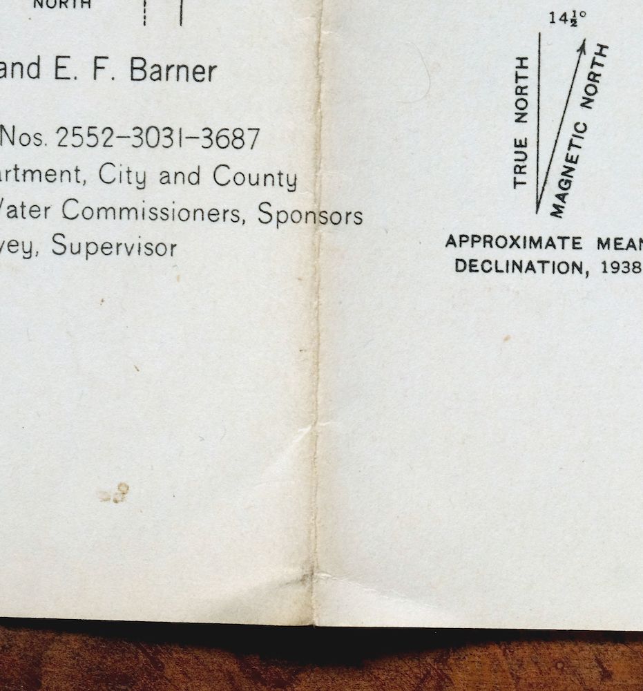
| SHEET CONDITION For maps of this vintage, effort is made to note all visible flaws, no matter how minor. | |
| OVERALL CONDITION | Good |
| SHEET NOTES | lightly handled, has foldlines, age discoloration along some foldlines |
| MAP AREA | no markings |
| COLLARS | no wear or tears, no markings |
 | |
| MAP COVERAGE Quadrangle extent overlaid on current basemap. | |
| BACKSIDE LEGEND | |
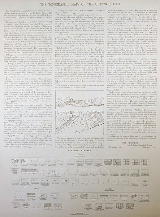 A map summary is printed on the back side of the Lafayette sheet similar to the one shown in the picture. It outlines the history, purpose, and status of the USGS mapping program at the time of the printing in 1944. It also provides instructions on how to read contour lines and a description of how they are used to depict the terrain. At the bottom of the page is a legend showing all of the symbols used to represent the cultural, relief, and water features found on the map. | |
| PLACENAMES Depending on map series and survey date, all of the features listed below may not be shown on this map. This list contains features that currently exist or historically existed within the area covered by the map. The list can be used as a reference to determine if this map covers your area of interest. Placenames are listed alphabetically next to each feature type. | |
| NOTABLE PLACES | Broomfield, Thornton, and Westminster |
| CITIES AND TOWNS (CURRENT) | Federal Heights, Lafayette, Louisville, and Northglenn |
| COUNTIES COVERED | Adams, Boulder, and Jefferson |
| RIVERS AND STREAMS | Big Dry Creek, Coal Creek, Rock Creek, and Walnut Creek |
| WATER BODIES | Broomfield Reservoir, Brunner Reservoir, Jackson Lake, Ketner Reservoir, Le Gault Reservoir, Lower Church Lake, McKay Lake, Nissen Reservoir Number 2, Plaster Reservoir, Standley Lake, Tom Frost Reservoir, Upper Church Lake, Waneka Reservoir, and West Lake |
| Locations: Broomfield Country Club, Broomfield Retail Center, Greenway Shopping Center, Hillside Convenience Center, and Villager Square Shopping Center. Parks: Broomfield Community Park and Livingston Park. Drainages: Rock Creek and Walnut Creek. Mines: Allon Shaft, Baker Mine, Baker Pit, Big Lake Mine, Cambro Mine, Canfield Mine, Cannon Mine, Capitol Mine, Caryl Pallot Mine, Centennial Mine, Charles Lily Mine, Crandell Number Four Mine, Crandell Number Three Mine, Crandell Number Two Mine, Crescent Mine, Digiacomo Mine, Electric Mine, Enterprise Mine, Gold King Mine, Grant Mine, Hecla Mine, Hi-way Mine, Highway Mine, Imperial Mine, Imperial Shaft, Italian Mine, Liley Mine, Louisville Mine, Monarch Mine, Monarch Number Two Mine, New Centennial Mine, Parkdale Pit, Pennsylvania Mine, Regal Mine, Rex Mine, Senator Mine, Shanahan Mine, Spencer Mine, Standard Mine, Storrs Mine, Strathmore Mine, Sunnyside Mine, Tom Bowen Mine, Vaughn Mine, Vesuvius Mine, Vulcan Mine, Welch Mine, and Willoughby Mine. Dams: Goodhue Number 1 Dam, Ketner Dam, Le Gault Dam, Lower Church Lake Dam, McKay Dam, McKay Lake Dam, 2 and 3 Dam Myers Number 1, Nissen Number 2 Dam, Northglenn Terminal Dam, Plaster Dam, Tom Frost Dam, Upper Church Lakes Dam, Vogler Number 1 Dam, and Waneka Dam. Canals: Community Ditch, Dry Creek Valley Ditch, Equity Ditch, and Highline Lateral. Airports: Cirino Heliport and Jeffco Airport. Schools: Emerald School, Front Range Community College - Westminster campus, Hillcrest School, Hillcrest West School, Juchem School, Kohl School, Lafayette School, and Westlake School. Reservoirs and Tanks: Broomfield Reservoir, Brunner Reservoir, Goodhue Reservoir Number 1, Grant B Reservoir, Jackson Lake, Ketner Reservoir, Le Gault Reservoir, Lower Church Lake, McKay Lake, 2 and 3 Reservoirs Myers Number 1, Nissen Reservoir Number 2, Northglenn Terminal Reservoir, Plaster Reservoir, Stearns Lake, Tom Frost Reservoir, Upper Church Lake, Vogler Reservoir Number 1, Waneka Reservoir, and West Lake. | |
| SHIPPING AND RETURNS | |
 This map sheet will be carefully rolled in a sturdy tube and shipped via the US Postal Service. If you find that the sheet you receive is not as described in the listing, you may ship it back to us for a refund of the purchase price. | |
Lafayette Colorado Westminster Thornton USGS Topo Map 1944
$48
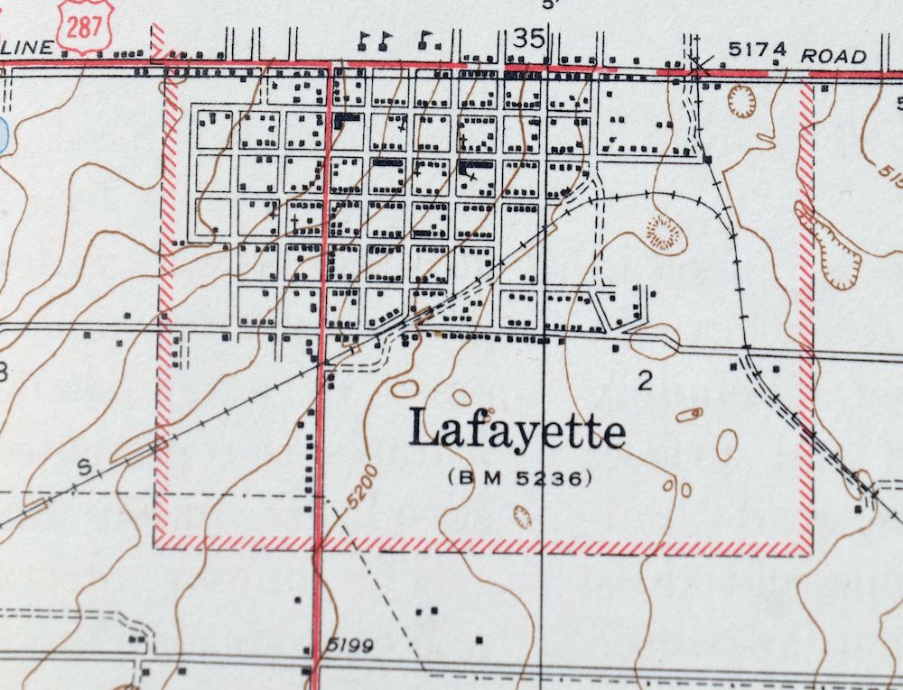
A fascinating historical snapshot of the Broomfield and Lafayette area between Boulder and Denver, depicting the pre-suburban landscape before the modern highway system, showing rail lines, schools, churches, cemeteries, and placenames. This is the Lafayette quadrangle, a 1944 first-year print of the USGS 7.5-minute topographic map, drawn at 1:31,680 from a 1938 field survey by geographer C.E. Blunt. Its 7-by-9-mile area north of Denver takes in Lafayette, Broomfield, and the ground where Westminster, Thornton, and Northglenn would later spread across parts of Adams, Boulder, and Jefferson counties.
In stock
This vintage sheet is a 1944 edition of the Lafayette Colorado USGS topographic map. It is an original 82-year-old United States Geological Survey print in good condition.
HOW THIS MAP CAN BE USED
In addition to making a fascinating conversation piece, this sheet would look great in a frame or on display, make a unique and prized gift for anyone interested in this area, be perfect as a reference for genealogy studies or general historical research, or fill that missing piece in your collection.
FEATURES SHOWN ON THE MAP
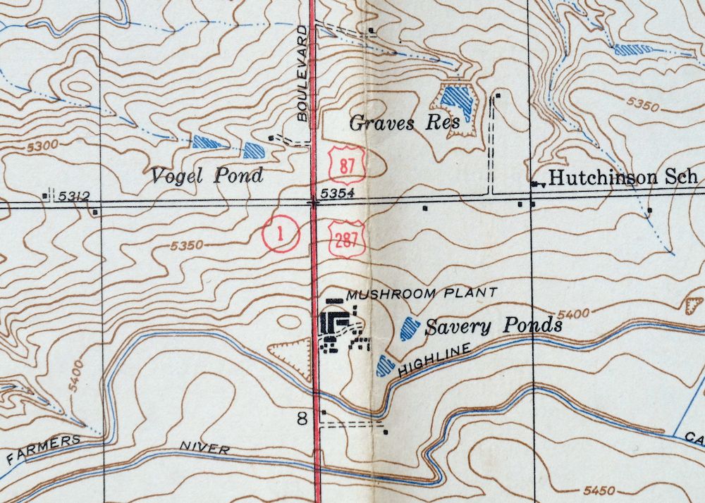
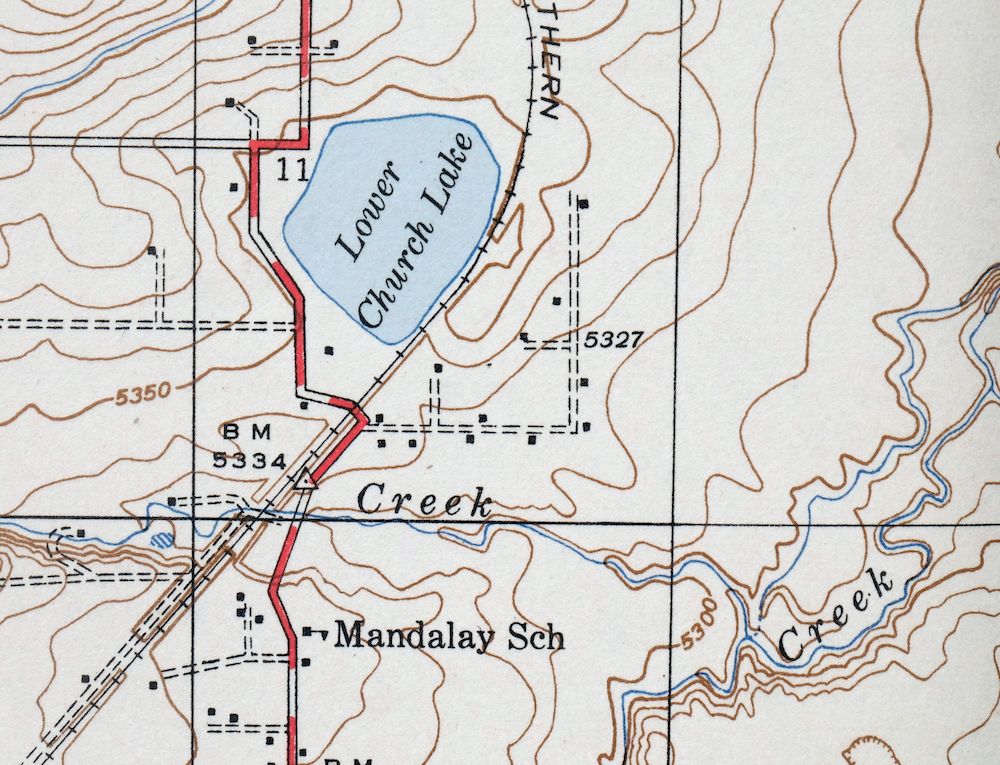
The Lafayette 7.5-minute map shows cities and towns, roads, paths, railroads, rivers, creeks, elevation contour lines, public land survey lines, county, state, and other administrative boundaries as they existed at the time of the survey in 1938. All known structures (houses, businesses, churches, schools, barns, cabins, etc) are also shown.
A VALUABLE HISTORICAL RECORD
This map is from the 7.5-minute series, the most detailed series that is widely available from the USGS. The 1944 Lafayette map is a valuable historical record for the area. It contains some placenames and features that have been dropped from more recent maps.
Nearby maps
-

Lafayette Colorado Westminster Thornton USGS Topo Map 1967
$38 Add to cart -

Eastlake Colorado Westminster Thornton USGS Topo Map 1944
$44 Add to cart -
Eastlake Colorado Westminster Thornton USGS Topo Map 1967
$39 Add to cart -
Eldorado Springs Colorado Arvada Boulder USGS Topo Map 1961
$37 Add to cart -
Long Branch Colorado Denver Aurora USGS Topographic Map 1948
$36 Add to cart -

Fort Logan Colorado Denver Bow Mar USGS Topographic Map 1941
$38 Add to cart -
1955 Tungsten Colorado USGS Topo Map: Barker Reservoir
$45 Add to cart -

Box Elder School Colorado Denver Aurora USGS Topo Map 1942
$38 Add to cart -
Lyons Colorado USGS 7.5-Min Topographic Map 1961 Vintage
$34 Add to cart -
Fitzsimons Colorado Denver Aurora USGS Topo Map 1948 Vintage
$36 Add to cart -
Coal Creek Colorado Aurora USGS Topographic Map 1942 Antique
$45 Add to cart -
Nederland Colorado Eldora Rollinsville USGS Topo Map 1964
$35 Add to cart -
Highland Ranch Colorado Denver Southglenn USGS Topo Map 1949
$42 Add to cart -
Central City Colorado Black Hawk USGS Topo Map 1964 Vintage
$32 Add to cart -
Kassler Colorado Roxborough Park Louviers USGS Topo Map 1956
$48 Add to cart -
Platte Canyon Colorado South Platte USGS Topo Map 1955
$44 Add to cart -
Georgetown Colorado Idaho Springs USGS Topo Map 1980 Vintage
$42 Add to cart -
Georgetown Colorado Silver Plume USGS Topo Map 1962 Vintage
$33 Add to cart -
Bailey Colorado Will-O-The-Wisp Wandcrest USGS Topo Map 1973
$40 Add to cart -

Estes Park Colorado USGS 7.5-Min Topo Map 1961 Vintage
$31 Add to cart -
Shawnee Colorado Singleton USGS Topographic Map 1972 Vintage
$39 Add to cart -
Trail Ridge Colorado USGS 7.5-Min Topo Map 1962 Vintage
$25 Add to cart -
Montezuma Colorado Keystone USGS 15-Min Topographic Map 1926
$65 Add to cart -
1972 Montezuma Colorado USGS Topo Map: Keystone
$48 Add to cart