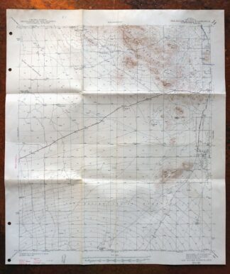
MAP DETAILS | |
|---|---|
| TITLE | San Xavier Mission |
| STATE | Arizona |
| LOCATION | Saguaro National Park, vicinity of Tucson |
| SERIES | 15-minute |
| SURVEYED | 1940 and 1941 Field Survey |
| GEOGRAPHER | E.S. Rickard |
| EDITION | 1943 |
| PRINTED | 1947 |
| PRINT NOTES | Thick paper stock |
| SCALE | 1:62500 |
| SHEET DIMENSIONS | 17 x 21 inches (approximate) |
| MAP DIMENSIONS | 14 7/8 x 17 1/2 inches |
| COVERAGE AREA | 15 x 17 miles |
| SHEET CONDITION For maps of this vintage, effort is made to note all visible flaws, no matter how minor. | |
| OVERALL CONDITION | Good |
| SHEET NOTES | moderately handled, has foldlines |
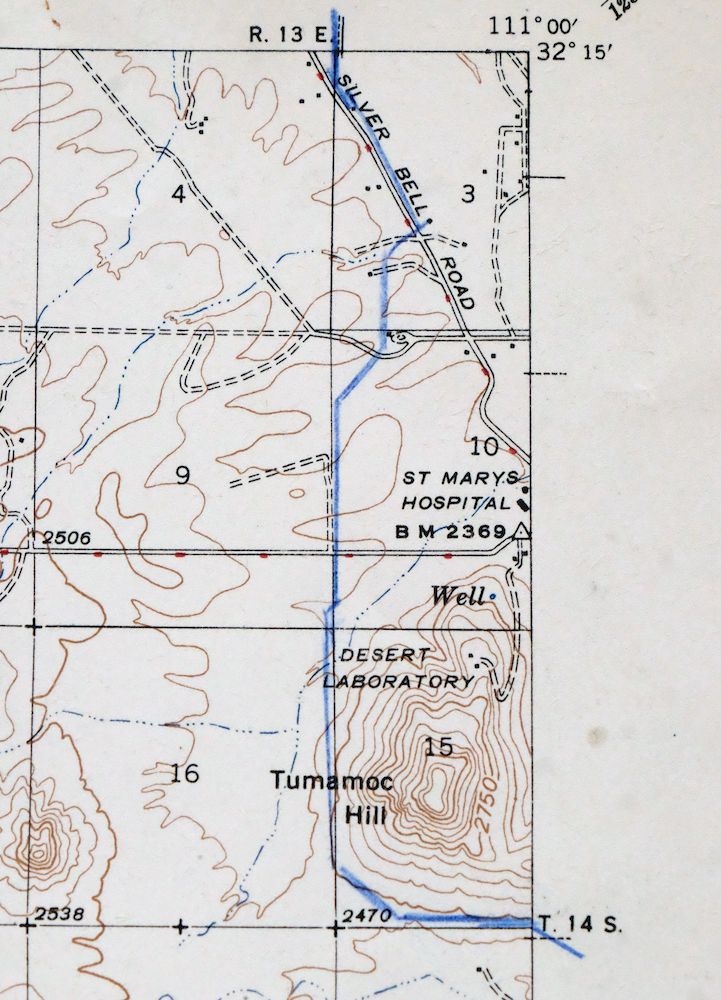
| MAP AREA | no wear, pen marking in northeast corner of map, minor blemishing along some foldlines |
| COLLARS | no wear or tears, minor markings, minor blemishes, hole punches along left collar, bottom collar trimmed back about an inch |
 | |
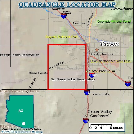
| MAP COVERAGE Quadrangle extent overlaid on current basemap. | |
| PLACENAMES Depending on map series and survey date, all of the features listed below may not be shown on this map. This list contains features that currently exist or historically existed within the area covered by the map. The list can be used as a reference to determine if this map covers your area of interest. Placenames are listed alphabetically next to each feature type. | |
| CITIES AND TOWNS (CURRENT) | Drexel Heights, Three Points, Tucson, Tucson Estates, and Valencia West |
| COUNTIES COVERED | Pima |
| FEDERAL LAND UNITS | Saguaro National Park, Saguaro Wilderness, San Xavier Indian Reservation, and Tohono O'odham Indian Reservation |
| RIVERS AND STREAMS | Brawley Wash and West Branch Santa Cruz River |
| Locations: Cottonwood Ranch, El Rio Golf Course, Phillips Ranch, Pima Spur, San Xavier Plaza Shopping Center, Tucson Estates Shopping Center, and University of Arizona Geochronology Laboratories. Mountain Ranges: Tucson Mountains. Reserves: San Xavier Indian Reservation. Mountains, Peaks, and Summits: Beehive Peak, Black Mountain, Brown Mountain, Bushmaster Peak, Cat Mountain, Golden Gate Mountain, Red Butte, Saginaw Hill, Snyder Hill, Tower Peak, Tumamoc Hill, and Twin Hills. Valleys and Canyons: King Canyon. Parks: Ironwood Picnic Area, John F Kennedy Park, Juan Santa Cruz Picnic Area, Manzanita Winston Reynolds Park, Mission Ridge Park, Northwest Del Rio Park, Palo Verde Picnic Area and Campground, San Juan Park, Speedway Greasewood Park, Tucson Mountain County Park, and Vista del Pueblo Park. Trails: San Juan Trail. Drainages: Kennedy Park Creek. Churches: San Xavier del Bac Mission. Hospitals: Elks Hospital and Saint Marys Hospital. Buildings: Arizona-Sonora Desert Museum. Dams: Kennedy Park Dam. Gaps: Gates Pass and Robles Pass. Airports: Ryan Field. Schools: Anna Lawrence Elementary School, Brichta School, Cholla High School, Maxwell Junior High School, Pima Community College, Pistor Junior High School, Sahuaro School, Tolson School, Tully School, Vesey School, Warren School, and White School. Towers: KCEE-AM (Tucson), KIIM-FM (Tucson), KKLD-FM (Tucson), KLPX-FM (Tucson), KNST-AM (Tucson), KOLD-TV (Tucson), KPOL-TV (Tucson), KRQQ-FM (Tucson), KTTU-TV (Tucson), KUAS-TV (Tucson), KWFM-FM (Tucson), and KXGR-TV (Green Valley). Wells: Robles Well and San Joaquin Well. | |
| SHIPPING AND RETURNS | |
 This map sheet will be carefully rolled in a sturdy tube and shipped via the US Postal Service. If you find that the sheet you receive is not as described in the listing, you may ship it back to us for a refund of the purchase price. | |
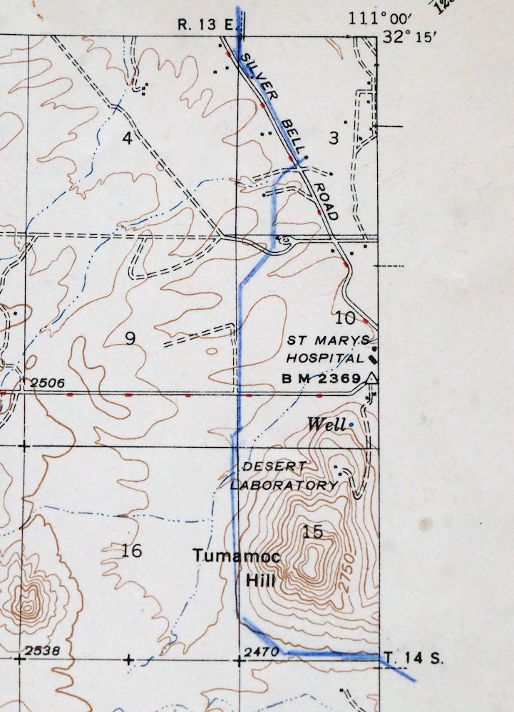
1947 San Xavier Mission Arizona USGS Topo Map
$20
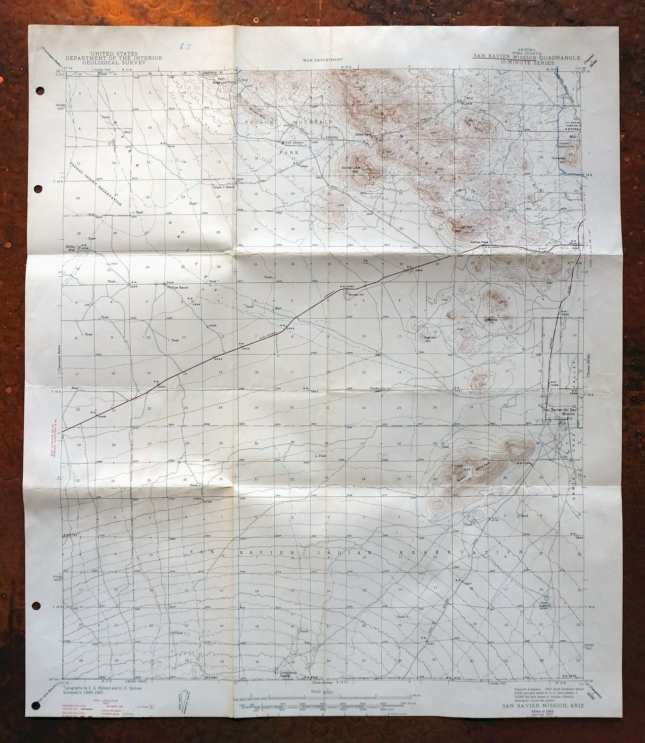
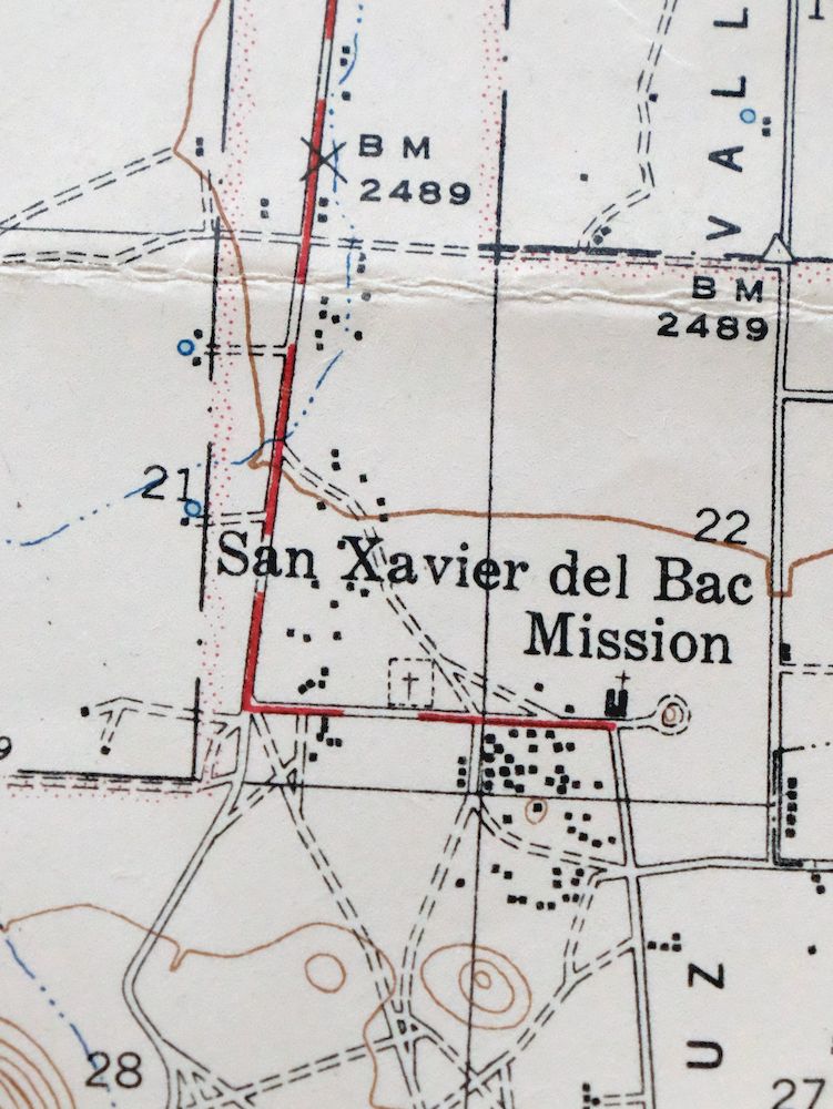
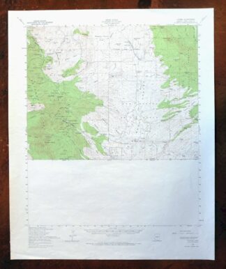
This 15-minute topographic sheet, first published in a 1943 edition and printed in 1947, maps the San Xavier Mission quadrangle south of Tucson on thick paper stock. Based on 1940 and 1941 field surveys by geographer E.S. Rickard, it covers roughly 15 by 17 miles in Pima County, taking in parts of the San Xavier and Tohono O’odham reservations along with Tucson’s southern edge. The mission that names the quad, San Xavier del Bac, has drawn visitors to this stretch of the Santa Cruz Valley for more than two centuries.
In stock
This vintage sheet is a 1943 edition of the San Xavier Mission Arizona USGS topographic map. It is an original 79-year-old 1947 United States Geological Survey print in good condition.
HOW THIS MAP CAN BE USED
In addition to making a fascinating conversation piece, this sheet would look great in a frame or on display, make a unique and prized gift for anyone interested in this area, be perfect as a reference for genealogy studies or general historical research, or fill that missing piece in your collection.
FEATURES SHOWN ON THE MAP
The San Xavier Mission 15-minute map shows cities and towns, roads, railroads, rivers, creeks, elevation contour lines, public land survey lines, county, state, and other administrative boundaries as they existed at the time of the survey in 1940 and 1941. All known structures (houses, businesses, churches, schools, barns, cabins, etc) are also shown.
A VALUABLE HISTORICAL RECORD
Maps from the 15-minute series for the continental United States are no longer produced or printed by the USGS and original prints are becoming increasingly difficult to find. They are a valuable historical record for an area, as they contain many placenames and features that have been dropped from more recent maps.
Nearby maps
-
San Xavier Mission Arizona Tucson USGS Topo Map 1961 Vintage
$46 Add to cart -

Tucson Arizona Davis-Monthan Tanque Verde USGS Topo Map 1963
$57 Add to cart -
Tucson Arizona Davis-Monthan Tanque Verde USGS Topo Map 1948
$40 Add to cart -
Cortaro Arizona Tucson Oro Valley USGS Topographic Map 1947
$46 Add to cart -

1967 Mount Lemmon Arizona USGS Topo Map: Tucson
$62 Add to cart -
1965 Silver Bell Peak Arizona USGS Topo Map: Marana
$46 Add to cart -
Vaca Hills Arizona Papago USGS Topographic Map 1965 Vintage
$32 Add to cart -
Empire Mountains Arizona Vail Pantano USGS Topo Map 1961
$47 Add to cart -
Baboquivari Peak Arizona USGS 15-Min Topo Map 1967 Vintage
$48 Add to cart -

Tortolita Mountains Arizona USGS 15-Min Topographic Map 1964
$38 Add to cart -
Red Rock Arizona Picacho Peak Marana USGS Topo Map 1965
$46 Add to cart -
Oracle Arizona Catalina USGS 15-Min Topo Map 1964 Vintage
$41 Add to cart -
1979 Mount Wrightson Arizona USGS Topo Map: Patagonia
$48 Add to cart -

Elgin Arizona Patagonia Sonoita USGS Topo Map 1971 Vintage
$46 Add to cart -
Presumido Peak Arizona USGS 15-Min Topo Map 1960 Vintage
$48 Add to cart -
Sells Arizona Topawa Cowlic USGS 15-Min Topographic Map 1948
$45 Add to cart -
Benson Arizona Coronado NF St. David USGS Topo Map 1962
$35 Add to cart -
1973 Ruby Arizona USGS Topo Map: Pena Blanca Lake
$45 Add to cart -
Winkelman Arizona Dudleyville Hayden USGS Topo Map 1966
$43 Add to cart -
Oro Blanco Arizona USGS 15-Min Topographic Map 1944 Vintage
$22 Add to cart -
Nogales Arizona Rio Rico Northeast USGS 15-Min Topo Map 1972
$38 Add to cart -

Vamori Arizona San Miguel USGS 15-Min Topo Map 1958 Vintage
$34 Add to cart -
Signal Peak Arizona Casa Grande Eloy USGS Topo Map 1960
$45 Add to cart -
Lochiel Arizona USGS 15-Min Topographic Map 1965 Vintage
$47 Add to cart