MAP DETAILS | |
|---|---|
| TITLE | Paulden |
| STATE | Arizona |
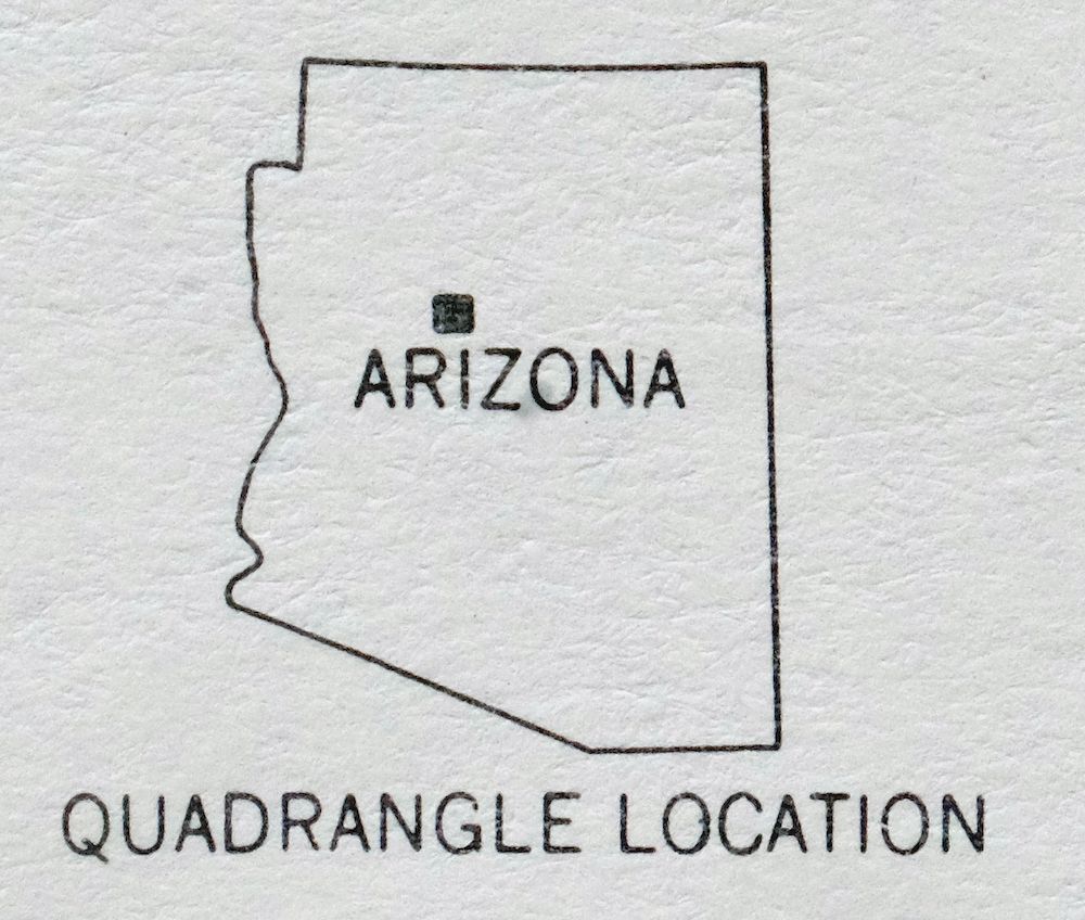
| LOCATION | Vicinity of Chino Valley, 25 miles north of Prescott |
| SERIES | 15-minute |
| SURVEYED | 1946 and 1947 Aerial and Field Survey |
| GEOGRAPHER | Forest Service |
| EDITION | 1947 |
| PRINTED | 1980 |
| PRINT NOTES | Thick paper stock, includes woodland tint (green to indicate vegetated areas) |
| SCALE | 1:62500 |
| CONTOUR INTERVAL | 50 feet |
| SHEET DIMENSIONS | 17 7/8 x 22 inches |
| MAP DIMENSIONS | 14 3/8 x 17 1/2 inches |
| COVERAGE AREA | 14 x 17 miles |
| SOURCE | From the vintage map collection of Art Christiansen, Tempe, Arizona |
| SHEET CONDITION For maps of this vintage, effort is made to note all visible flaws, no matter how minor. | |
| OVERALL CONDITION | Excellent |
| SHEET NOTES | lightly handled, never folded, smooth and flat |
| MAP AREA | flawless map area |
| COLLARS | no wear or tears, no markings, no blemishes |
| MAP COVERAGE Quadrangle extent overlaid on current basemap. | |
| PLACENAMES Depending on map series and survey date, all of the features listed below may not be shown on this map. This list contains features that currently exist or historically existed within the area covered by the map. The list can be used as a reference to determine if this map covers your area of interest. Placenames are listed alphabetically next to each feature type. | |
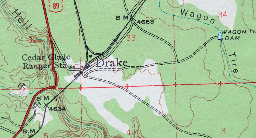
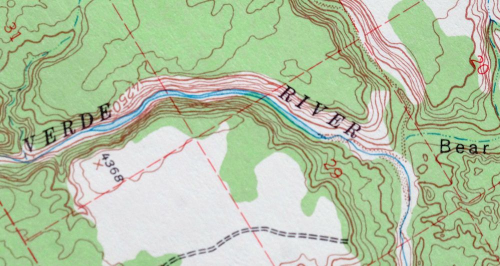
| NOTABLE PLACES | Chino Valley, Verde River, and Drake |
| CITIES AND TOWNS (CURRENT) | Paulden |
| COUNTIES COVERED | Coconino and Yavapai |
| FEDERAL LAND UNITS | Prescott National Forest |
| RIVERS AND STREAMS | Big Chino Wash, Granite Creek, Grindstone Wash, Page Wash, Rattlesnake Wash, Wagon Tire Wash, and Williamson Valley Wash |
| WATER BODIES | King Tank, Schwanbeck Tank, Sullivan Lake, and Tovera Tank |
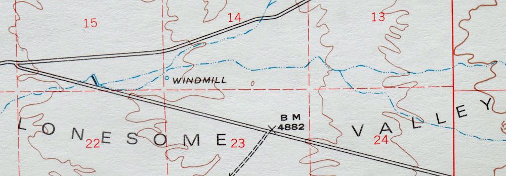
| Locations: Arizona Highway Maintenance Chino Valley Yard, Bar Heart Ranch, Bear Siding, Chino Valley District Ranger Office, Cliff Dwelling, Del Rio Ranch, Glidden Windmill, Morgan Ranch and Headquarters, and Verde Ranch. Reserves: Tract 37, Tract 38, Tract 39, and Tract Thirty Nine. Mountains, Peaks, and Summits: Bald Hill, Red Butte, Rock Butte, and Saint Matthews Mountain. Valleys and Canyons: Barney Draw, Bear Canyon, Big Chino Valley, Bull Basin Canyon, Gold Basin Canyon, Hell Canyon, King Canyon, Limestone Canyon, Little Chino Valley, Lonesome Valley, M C Canyon, and Muldoon Canyon. Drainages: Big Chino Wash, Granite Creek, Grindstone Wash, Page Wash, Rattlesnake Wash, Wagon Tire Wash, and Williamson Valley Wash. Mines: United States Mine. Buildings: Abra Railroad Station, Copper Railroad Station, Del Rio Railroad Station, Drake Railroad Station, and Puro Railroad Station. Dams: Del Rio Dam, Sullivan Dam, and Wagon Tire Dam. Bluffs: Hell Point. Airports: Bar Heart Ranch Airport. Reservoirs and Tanks: Aikens Tank, Bear Tank, Bettys Tank, Boundary Tank, Bull Tank, Cement Tank, Daisey Tank, Daisy Tank, Deep Hole Tank, Drake Tank, Duck Tank, Duff Tank, Eds Tank, Gas Tank, Gold Basin Tank, Gold Tank, Gray Hills Tank, Grindstone Tank, Juniper Tank, King Tank, Little Page Tank, Little Rattlesnake Tank, Lower Limestone Tank, Lower Wildcat Tank, Lucky Tank, M C Tank, Mack Tank, McClure Tank, Middle Trail Tank, Midway Tank, Muldoon Tank, Nunn Tank, Page Flat Tank, Peavine Tank, Pothole Tank, Railroad Tank, Robert E Tank, Roper Tank, S R P Trick Tank, Schwanbeck Tank, Sullivan Lake, Telephone Tank, Tovera Tank, Trick Tank, Upper Wildcat Tank, Wagon Tire Tank, West Side Tank, White Hills Tank, White Tank, and Yarbo Tank. Flats: Page Flat. Wells: Bull Well, Glidden Well, Gold Basin Well, Hells Well, King Well, and Wildcat Well. Springs: Del Rio Springs, Duff Spring, Fig Tree Spring, and King Spring. | |
| SHIPPING AND RETURNS | |
 This map sheet will be carefully rolled in a sturdy tube and shipped via the US Postal Service. If you find that the sheet you receive is not as described in the listing, you may ship it back to us for a refund of the purchase price. | |
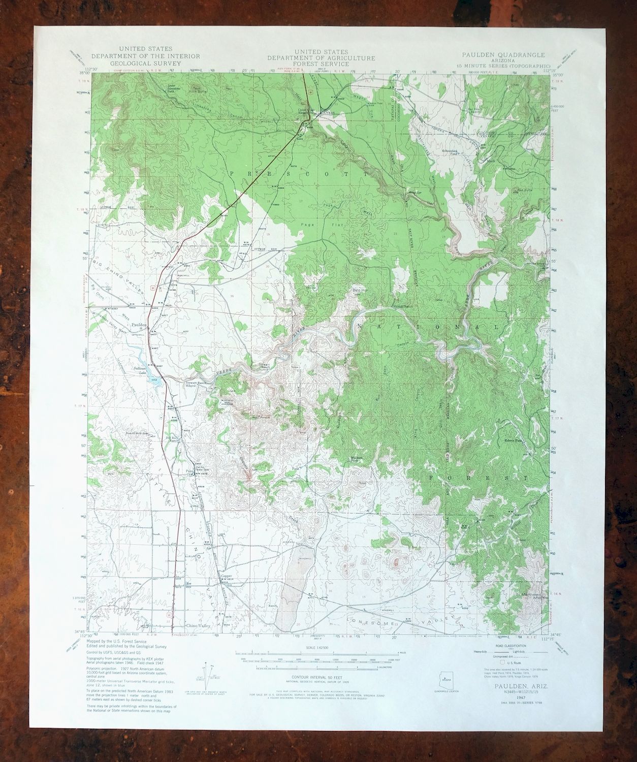
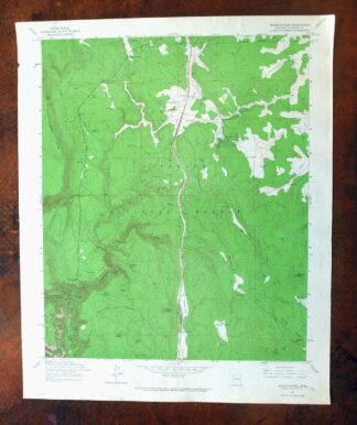
1980 Paulden Arizona USGS Topo Map: Chino Valley
$42
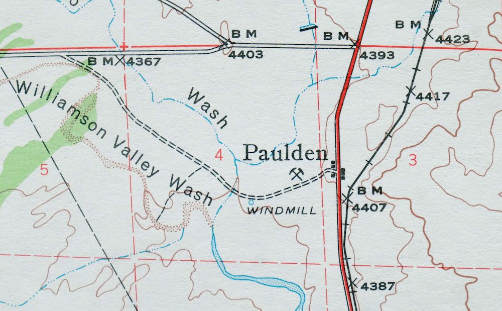
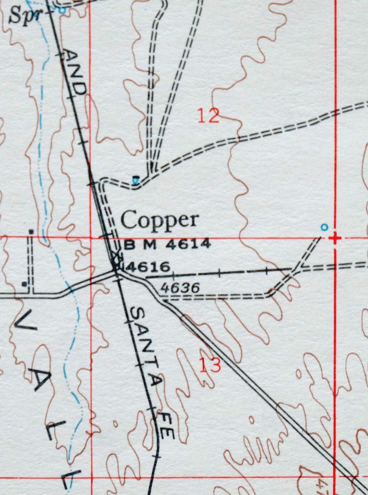
This USGS topographic map covers the Paulden quadrangle in north-central Arizona, a 1947 edition printed in 1980 at 1:62,500 scale. The sheet takes in the small community of Paulden and nearby Chino Valley about 25 miles north of Prescott, along with Drake and the upper reaches of the Verde River, and it touches portions of the Prescott National Forest where Coconino and Yavapai counties meet. Printed on thick stock with a green woodland tint marking vegetation, it was never folded and lies smooth and flat.
In stock
This vintage sheet is a 1947 edition of the Paulden Arizona USGS topographic map. It is an original 46-year-old 1980 United States Geological Survey print in excellent condition.
HOW THIS MAP CAN BE USED
In addition to making a fascinating conversation piece, this sheet would look great in a frame or on display, make a unique and prized gift for anyone interested in this area, be perfect as a reference for genealogy studies or general historical research, or fill that missing piece in your collection. Maps of this vintage are printed on durable stock and are well-suited for outdoor activities and recreation of all kinds, including hiking, backpacking, hunting, rafting and kayaking, backcountry skiing, geocaching, general exploration, treasure hunting, etc.
FEATURES SHOWN ON THE MAP
The Paulden 15-minute map shows cities and towns, roads, railroads, utilities and energy infrastructure, rivers, creeks, elevation contour lines, public land survey lines, county, state, and other administrative boundaries as they existed at the time of the survey in 1946 and 1947. All known structures (houses, businesses, churches, schools, barns, cabins, etc) are also shown.
A VALUABLE HISTORICAL RECORD
Maps from the 15-minute series for the continental United States are no longer produced or printed by the USGS and original prints are becoming increasingly difficult to find. They are a valuable historical record for an area, as they contain many placenames and features that have been dropped from more recent maps.
Nearby maps
-

Clarkdale Arizona Cottonwood Jerome USGS Topo Map 1948
$54 Add to cart -

Simmons Arizona Paulden Williamson USGS 15-Min Topo Map 1964
$46 Add to cart -
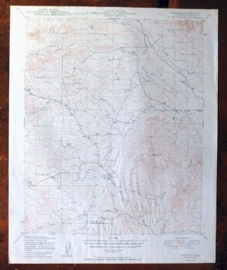
Simmons Arizona Paulden Williamson USGS Topographic Map 1950
$27 Add to cart -
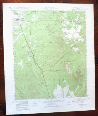
Ash Fork Arizona Kaibab NF Prescott NF USGS Topo Map 1978
$44 Add to cart -
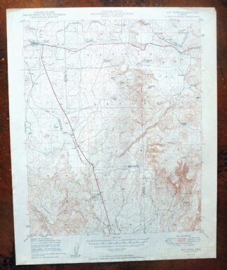
Ash Fork Arizona Kaibab NF Prescott NF USGS Topo Map 1949
$25 Add to cart -
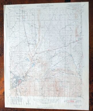
Prescott Arizona Chino Valley Williamson USGS Topo Map 1948
$25 Add to cart -
Picacho Butte Arizona Chino Valley USGS 15-Min Topo Map 1950
$24 Add to cart -

Bill Williams Mountain Arizona Williams USGS Topo Map 1983
$40 Add to cart -
Mingus Mountain Arizona Cottonwood USGS Topographic Map 1970
$46 Add to cart -
Camp Wood Arizona Prescott NF USGS Topographic Map 1949
$32 Add to cart -
Sheridan Mountain Arizona Sycamore Creek USGS Topo Map 1978
$35 Add to cart -

Mount Union Arizona Prescott NF Mayer USGS Topo Map 1949
$34 Add to cart -
Mount Union Arizona Prescott NF Mayer USGS Topo Map 1964
$44 Add to cart -
1955 Mayer Arizona USGS Topo Map: Prescott NF
$38 Add to cart -
1964 Bagdad Arizona USGS Topo Map
$38 Add to cart -
Crown King Arizona Prescott NF USGS Topo Map 1955 Vintage
$39 Add to cart -

Crown King Arizona Prescott NF USGS Topo Map 1950 Vintage
$33 Add to cart -
Valle Arizona Kaibab Quivero USGS Topo Map 1964 Vintage
$28 Add to cart -
Ebert Mountain Arizona Red Mountain USGS Topo Map 1969
$36 Add to cart -
Pine Arizona Payson Sun Valley USGS Topo Map 1940 Antique
$40 Add to cart -
S P Mountain Arizona USGS 15-Min Topo Map 1975 Vintage
$34 Add to cart -

Camp Verde Arizona Cottonwood Sedona USGS Topo Map 1965
$47 Add to cart -
Mountainaire Arizona Coconino NF USGS Topo Map 1964 Vintage
$36 Add to cart -

Congress Arizona Yarnell Wilhoit USGS Topo Map 1948 Vintage
$38 Add to cart