MAP DETAILS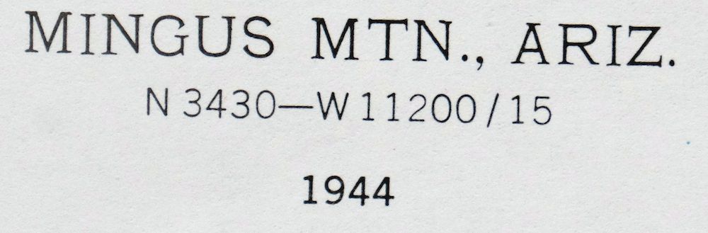 | |
|---|---|
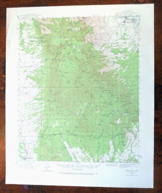
| TITLE | Mingus Mountain |
| STATE | Arizona |
| LOCATION | Vicinity of Prescott Valley, 80 miles north of Phoenix |
| SERIES | 15-minute |
| SURVEYED | 1944 Aerial and Field Survey |
| EDITION | 1944 |
| PRINTED | 1970 |
| PRINT NOTES | Thick paper stock, includes woodland tint (green to indicate vegetated areas) |
| SCALE | 1:62500 |
| CONTOUR INTERVAL | 50 feet |
| SHEET DIMENSIONS | 17 7/8 x 21 7/8 inches |
| MAP DIMENSIONS | 14 3/8 x 17 1/2 inches |
| COVERAGE AREA | 14 x 17 miles |
| SOURCE | From the vintage map collection of Art Christiansen, Tempe, Arizona |
| SHEET CONDITION For maps of this vintage, effort is made to note all visible flaws, no matter how minor. | |
| OVERALL CONDITION | Excellent |
| SHEET NOTES | very lightly handled, never folded, smooth and flat |
| MAP AREA | flawless map area |
| COLLARS | no wear or tears, no markings, no blemishes |
| MAP COVERAGE Quadrangle extent overlaid on current basemap. | |
| PLACENAMES Depending on map series and survey date, all of the features listed below may not be shown on this map. This list contains features that currently exist or historically existed within the area covered by the map. The list can be used as a reference to determine if this map covers your area of interest. Placenames are listed alphabetically next to each feature type. | |
| CITIES AND TOWNS (CURRENT) | Clarkdale, Cottonwood, Cottonwood-Verde Village, Dewey, Dewey-Humboldt, Humboldt, Jerome, and Prescott Valley |
| COUNTIES COVERED | Yavapai |
| FEDERAL LAND UNITS | Prescott National Forest and Woodchute Wilderness |
| RIVERS AND STREAMS | Agua Fria River, Ash Creek, Blowout Creek, Brushy Wash, Cherry Creek, Cienega Creek, Clipper Wash, Coyote Spring, Hackberry Wash, Johnson Wash, Little Hackberry Wash, Lynx Creek, Oak Wash, Osborne Spring Wash, Racetrack Wash, Verde River, Winters Wash, and Yarber Wash |
| Locations: Arizona Highway Maintenance Mingus Mountain Yard, Blue Ranch, Cottonwood Substation, Coyote Ranch, Johnson Wash Ranger Station, Middle Verde Substation, Mingus Springs Ranch, Mingus Substation, Potato Patch, Racetrack Windmill, and Yaeger Canyon Ranger Station. Mountain Ranges: Black Hills. Mountains, Peaks, and Summits: Black Hills, Crater Mountain, Goat Peak, Hickey Mountain, Kendall Peak, Mingus Mountain, Onion Mountain, and Woodchute Mountain. Valleys and Canyons: Burnt Canyon, CF Canyon, Christina Draw, Coyote Canyon, Del Monte Gulch, Gaddes Canyon, Green Gulch, Haywood Canyon, Hull Canyon, Lang Canyon, Little Coyote Canyon, Little Yaeger Canyon, Martin Canyon, Silver Spring Gulch, Tex Canyon, Texas Gulch, and Ward Pocket. Parks: Cottonwood Kids Park, Garrison Park, Lions Club Park, Mingus Mountain Campground, Playground Jerome Family Picknicking Ground, Potato Patch Recreational Area, and Powell Springs Campground. Trails: Gaddes Canyon Trail, North Mingus Trail Number One Hundred Six, View Point Trail Number One Hundred Five, and Woodchute Trail. Drainages: Blowout Creek, Buckbed Wash, Clipper Wash, Little Hackberry Wash, Lynx Creek, Oak Wash, and Sour Water Wash. Mines: Ambassador Mine, Black Hawk Mine, Brindle Pup Mine, Bunker Mine, C and J Shaft, Cherry King Mine, Conger Mine, Copper Chief Mine, Federal Mine, Gadsden Shaft, Gold Bullion Mine, Gold Coin Mine, Gold Eagle Mine, Golden Idol Mine, Heola Mine, Iron King Mine, Jerome Grande Shaft, Jerome-Del Monte Shaft, Leghorn Mine, Logan Mine, Monarch Mine, Shylock Mine, Sitting Bull Mine, Sunnybrook Mine, Uncle Sam Mine, United Verde Mine, Verde Central Shaft, Verde Combination Shaft, Wambacker Mine, and Yaeger Mine. Hospitals: Marcus J Lawrence Memorial Hospital. Lakes and Ponds: Mingus Lake. Buildings: Cherry Creek Railroad Station, Iron King Railroad Station, and Jerome Town Hall. Airports: Cottonwood Airport and Marcus J Lawrence Medical Center Heliport. Schools: Bradshaw Mountain High School, Clark Street School, Clemenceau Public School, Cottonwood-Oak Creek School, Humboldt Junior High School, Indian Bible Academy, Mingus Union High School, Montezuma School, Seventh Day Adventist School, and Yarbo School. Reservoirs and Tanks: Balky Tank, Buckbed Number Two Tank, Buckbed Tank Number One, Burnt Tank, Butterfly Tank, Christina Draw Tank, Crater Tank, D-Nine Tank, Dry Lake Tank, Goddard Tank Number One, Goddard Tank Number Two, Hanks Tank, Hayfield Tank, Hell Tank, Hickey Tanks, James Tank, Juniper Mesa Tank, Lamb Tank, Little Tank, Martin Canyon Tank, Mescal Tank, Mingus Tank, Montezuma Tank, Mulberry Tank, North Tank, Powerline Tank, Rick Tank, Ridge Tank, Spring Tank, Tex Canyon Tank, Trick Tank, Turkey Tank, West Pasture Tank, and Woodchute Tank. Towers: KAHM-FM (Prescott), KNOT-FM (Prescott), KUSK-TV (Prescott), and KVRD-FM (Cottonwood). Wells: Aband Well, Ash Creek Well, Bushy Well, Elks Well, Grapevine Well, James Well, Johnson Wash Well, Little Hackberry Well, Pasture Well, Racetrack Well, and Yarber Well. Springs: Alex Spring, Allen Spring, Ash Canyon Spring, Ash Spring, Balky Spring, Baltimore Spring, Bardshare Spring, Black Canyon Spring, Black Rock Spring, Blowout Spring, Blue Monster Spring, Blue Rock Spring, Boat Spring, Boiler Spring, Bruce Spring, Brushy Wash Spring, Buck Spring, Buckbed Spring, Bunker Spring, Butterfly Spring, Cabin Spring, Cement Spring, Cliff Spring, Columbine Spring, Copper Chief Spring, Cottonwood Spring, Cox Spring, Coyote Spring, Crater Spring, Dyer Spring, East Ash Spring, Fall Spring, Fields Spring, Gaddes Spring, Goat Camp Springs, Goat Peak Spring, Grapevine Spring, Hance Spring, Haskell Spring, Hasket Spring, Haywood Spring, Hemphill Spring, Hog Spring, Home Spring, Indian Spring, Johnson Wash Spring, Kay Seep, Lamb Spring, Lang Spring, Little Ranch Spring, Little Walnut Spring, Log Springs, Logan Mine Spring, Lower Black Rock Spring, Lower Grapevine Spring, Lower Slick Rock Spring, Lyon Spring, Lyon Spring Number One, Manzanita Spring, Maverick Gap Spring, Medlar Spring, Mescal Spring, Morgan Spring, Oak Spring, Oxbow Spring, Peters Spring, Pfau Spring, Pine Flat Spring, Pine Spring, Powell Spring, Quail Springs, Red Horse Spring, Red Seep Spring, Rock Spring, Salmon Lake Spring, Silver Spring, Slick Rock Spring, Strawberry Spring, Sunnybrook Spring, Tex Canyon Spring, Tin Tank Spring, Tin Tub Spring, Trap Spring, Tunnel Spring, Twin Springs, Walnut Spring, Walnut Springs, Willow Spring, Yaeger Mine Spring, Yaeger Spring, Yarber Springs, Yellow Jacket Spring, and Young Seep Spring. | |
| SHIPPING AND RETURNS | |
 This map sheet will be carefully rolled in a sturdy tube and shipped via the US Postal Service. If you find that the sheet you receive is not as described in the listing, you may ship it back to us for a refund of the purchase price. | |
Mingus Mountain Arizona Cottonwood USGS Topographic Map 1970
$51
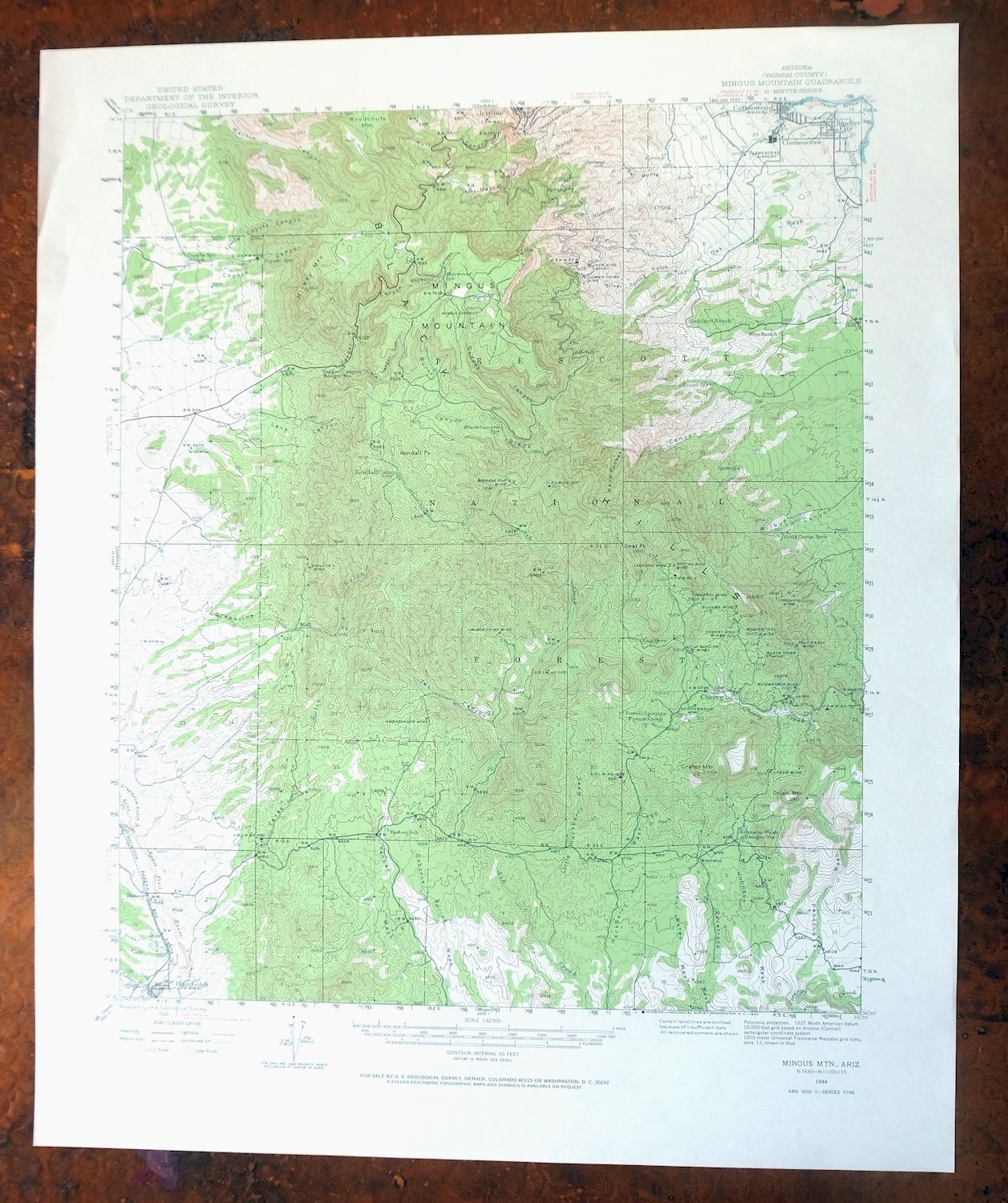
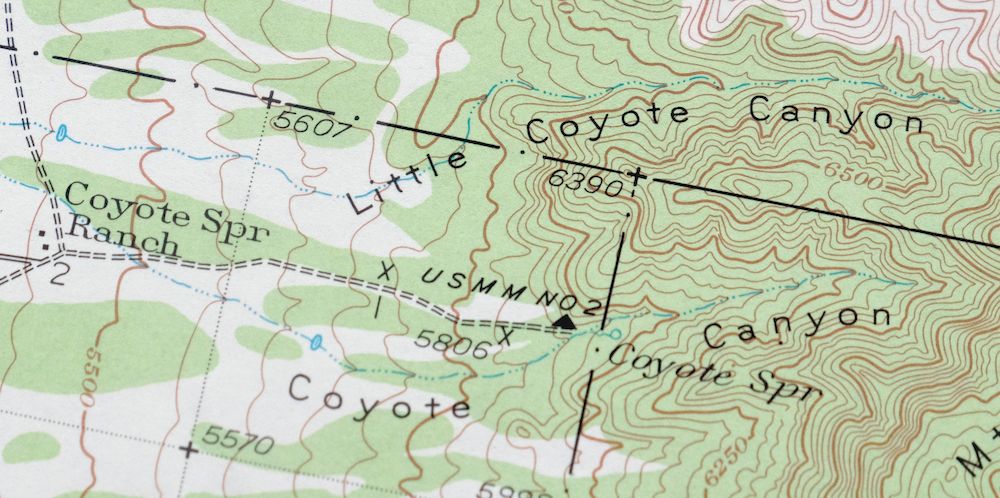
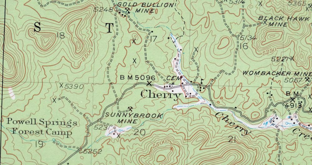
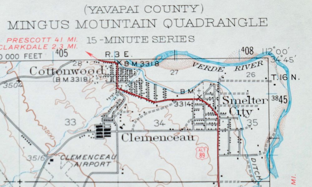
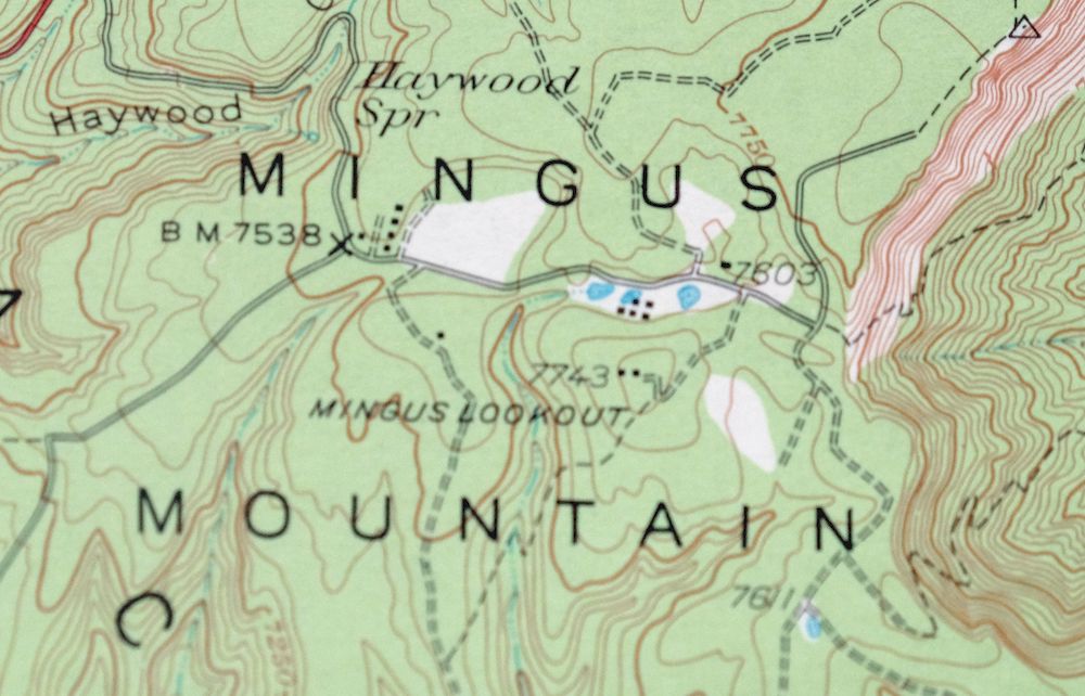
This USGS 15-minute topographic sheet is a 1944 edition, printed in 1970, and is in excellent condition on thick stock – very lightly handled, never folded, and smooth and flat. The quad sits in Yavapai County northeast of Prescott Valley and takes in Mingus Mountain itself along with the old mining town of Jerome, Clarkdale, and portions of Prescott National Forest and the Woodchute Wilderness. Jerome’s copper-mining history is part of what draws people to this corner of central Arizona, and the 50-foot contours trace the steep rise of Mingus Mountain above the Verde Valley. It comes from the vintage map collection of Art Christiansen of Tempe, Arizona.
In stock
This vintage sheet is a 1944 edition of the Mingus Mountain Arizona USGS topographic map. It is an original 56-year-old 1970 United States Geological Survey print in excellent condition.
HOW THIS MAP CAN BE USED
In addition to making a fascinating conversation piece, this sheet would look great in a frame or on display, make a unique and prized gift for anyone interested in this area, be perfect as a reference for genealogy studies or general historical research, or fill that missing piece in your collection. Maps of this vintage are printed on durable stock and are well-suited for outdoor activities and recreation of all kinds, including hiking, backpacking, hunting, rafting and kayaking, backcountry skiing, geocaching, general exploration, treasure hunting, etc.
FEATURES SHOWN ON THE MAP
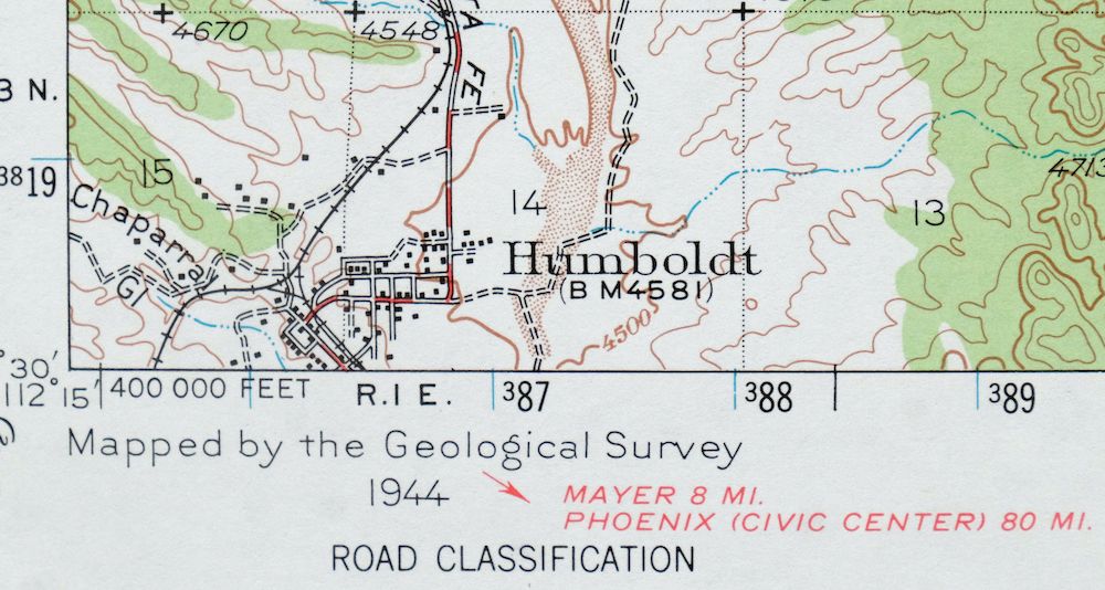
The Mingus Mountain 15-minute map shows cities and towns, roads, railroads, utilities and energy infrastructure, rivers, creeks, elevation contour lines, public land survey lines, county, state, and other administrative boundaries as they existed at the time of the survey in 1944. All known structures (houses, businesses, churches, schools, barns, cabins, etc) are also shown.
A VALUABLE HISTORICAL RECORD
Maps from the 15-minute series for the continental United States are no longer produced or printed by the USGS and original prints are becoming increasingly difficult to find. They are a valuable historical record for an area, as they contain many placenames and features that have been dropped from more recent maps.
Nearby maps
-

Prescott Arizona Chino Valley Williamson USGS Topo Map 1966
$52 Add to cart -

Clarkdale Arizona Cottonwood Jerome USGS Topo Map 1948
$44 Add to cart -

Mount Union Arizona Prescott NF Mayer USGS Topo Map 1949
$34 Add to cart -
Mount Union Arizona Prescott NF Mayer USGS Topo Map 1964
$43 Add to cart -

Simmons Arizona Paulden Williamson USGS 15-Min Topo Map 1964
$42 Add to cart -

Bill Williams Mountain Arizona Williams USGS Topo Map 1983
$40 Add to cart -
Ash Fork Arizona Kaibab NF Prescott NF USGS Topo Map 1978
$44 Add to cart -
Crown King Arizona Prescott NF USGS Topo Map 1955 Vintage
$46 Add to cart -
Sheridan Mountain Arizona Sycamore Creek USGS Topo Map 1978
$35 Add to cart -
Picacho Butte Arizona Chino Valley USGS 15-Min Topo Map 1950
$24 Add to cart -
Camp Wood Arizona Prescott NF USGS Topographic Map 1949
$32 Add to cart -
Pine Arizona Payson Sun Valley USGS Topo Map 1940 Antique
$45 Add to cart -
Payson Arizona Sun Valley Gisela USGS Topo Map 1965 Vintage
$64 Add to cart -
Promontory Butte Arizona Coconino NF USGS Topo Map 1960
$46 Add to cart -

Camp Verde Arizona Cottonwood Sedona USGS Topo Map 1965
$56 Add to cart -
Mountainaire Arizona Coconino NF USGS Topo Map 1964 Vintage
$36 Add to cart -

Congress Arizona Yarnell Wilhoit USGS Topo Map 1948 Vintage
$38 Add to cart -

Cave Creek Arizona Phoenix Mesa USGS Topo Map 1963 Vintage
$44 Add to cart -

Mcdowell Peak Arizona Scottsdale USGS Topo Map 1967 Vintage
$37 Add to cart -
Valle Arizona Kaibab Quivero USGS Topo Map 1964 Vintage
$28 Add to cart -
Ebert Mountain Arizona Red Mountain USGS Topo Map 1969
$36 Add to cart -

Camelback Arizona Tonto NF Phoenix USGS 15-Min Topo Map 1948
$55 Add to cart -
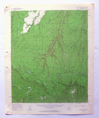
Woods Canyon Arizona Sitgreaves NF USGS 15-Min Topo Map 1963
$35 Add to cart -
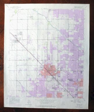
Glendale Arizona Phoenix Peoria USGS Topo Map 1975 Vintage
$37 Add to cart