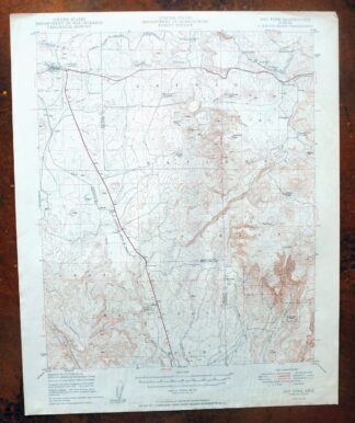
MAP DETAILS | |
|---|---|
| TITLE | Ash Fork |
| STATE | Arizona |
| LOCATION | 40 miles west of Flagstaff |
| SERIES | 15-minute |
| SURVEYED | 1946 and 1947 Aerial and Field Survey |
| EDITION | 1949 |
| PRINTED | 1949 |
| PRINT NOTES | Thick paper stock |
| SCALE | 1:62500 |
| CONTOUR INTERVAL | 50 feet |
| SHEET DIMENSIONS | 16 7/8 x 20 7/8 inches |
| MAP DIMENSIONS | 14 1/4 x 17 1/2 inches |
| COVERAGE AREA | 14 x 17 miles |
| SOURCE | From the vintage map collection of Art Christiansen, Tempe, Arizona |
| MAP NOTES | Surveyed before the existence of Interstate 40. |
| SHEET CONDITION For maps of this vintage, effort is made to note all visible flaws, no matter how minor. | |
| OVERALL CONDITION | Fair |
| SHEET NOTES | moderately handled, never folded, moisture ripples in bottom third of sheet |
| MAP AREA | no markings, no blemishes |
| COLLARS | no markings, moderate blemishes, no edge tears |
| MAP COVERAGE Quadrangle extent overlaid on current basemap. | |
| BACKSIDE LEGEND | |
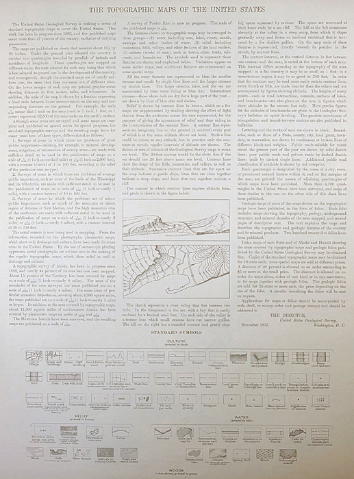 A map summary is printed on the back side of the Ash Fork sheet similar to the one shown in the picture. It outlines the history, purpose, and status of the USGS mapping program at the time of the printing in 1949. It also provides instructions on how to read contour lines and a description of how they are used to depict the terrain. At the bottom of the page is a legend showing all of the symbols used to represent the cultural, relief, and water features found on the map. | |
| PLACENAMES Depending on map series and survey date, all of the features listed below may not be shown on this map. This list contains features that currently exist or historically existed within the area covered by the map. The list can be used as a reference to determine if this map covers your area of interest. Placenames are listed alphabetically next to each feature type. | |
| CITIES AND TOWNS (CURRENT) | Ash Fork |
| COUNTIES COVERED | Coconino and Yavapai |
| FEDERAL LAND UNITS | Kaibab National Forest and Prescott National Forest |
| RIVERS AND STREAMS | Grindstone Wash, Johnson Creek, Meath Wash, Rattlesnake Wash, and Wagon Tire Wash |
| WATER BODIES | Masonry Number Two Reservoir and McLellan Reservoir |
| Locations: Arizona Highway Maintenance Yard, Ash Fork Substation, Cruice Siding, Hat Ranch, Meath Siding, Pine Springs Interchange, Pine Springs Ranch, Prairie Siding, Quarter Circle X X Ranch, Rok Siding, Sereno Siding, Stage Station, and Wood Spur Siding. Mountains, Peaks, and Summits: Boyd Knoll, Deadman Knoll, Dutch Kid Knoll, Flat Mesa, Matterhorn, S P Hill, Sawtooth Peak, Snyder Knoll, and Wild Steer Mesa. Valleys and Canyons: Devil Dog Canyon, Johnson Canyon, and Perrin Draw. Drainages: Johnson Creek and Meath Wash. Mines: Mills Quarry. Buildings: Ash Fork Railroad Station, Cruice Railroad Station, Daze Railroad Station, and Meath Railroad Station. Dams: Irishman Dam, McLellan Dam, Meath Dam, Steel Dam, and Stone Dam. Crossings: Country Line Interchange, Devil Dog Interchange, East Ash Fork Interchange, Monte Carlo Interchange, Welch Interchange, and West Ash Fork Interchange. Craters: Johnson Crater. Basins: Devils Pocket, Hells Pocket, Millers Pocket, and Tule Basin. Airports: Ash Fork Landing Strip. Schools: Ash Fork Elementary School and Ash Fork High School. Reservoirs and Tanks: AGF Trick Tank, Antelope Tank, Arkansas Tank, Ash Fork Santa Fe Railroad Company Water Tank, Barney Tank, Barrata, Bass Pond Tank, Bean Dam Tank, Big Supai Tank, Bridge Tank, Buck Tank, Bullock Tank, Caffrey Tank, Cedar Tank, Cooper Tank, Cordes Tank, Cow Tank, Cramer Tank, Culvert Tank, Deadman Tanks, Delta Tank, Depression Tank, Devil Dog Tank, Devil Tank, Dutch Kid Tank, E K Tank, Elk Tank, Evans Tank, Floe Tank, Frog Pool, Green Tank, Guijada Tank, Hat Tank, Heiffer Tank, Hells Canyon Tank, Hells Tank, Hells Uncle Tank, Horse Tank, J C Tank, Jesus Tank, Kessler Tank, Larry Tank, Lawless Tank, Little Rain Tank, Little Tank, Little Water Tank, Log Tank, Lost Cow Tank, Lost Tank, Lower Mc Cauley Tank, Mahala Tank, Manzanita Tank, Masonry Number Two Reservoir, Mayes Tank, McLellan Reservoir, McLellan Siding Tank, Meath Tank, Merchant Tank, Mescal Tank, Middle Crossing Tank, Nagiller Tank, New Synder Tank, North Keesler Tank, North Tank, Perrin Tank, Pipeline Tank, Prairie Tank, Quarry Tank, Rabbit Bill Tank, Racetrack Tank, Railroad Fill Tank, Rattlesnake Tank, Reed Tank, Rock House Tank, Rock Tank, Rod Tank, Rods Winter Camp Tank, Roy Tank, Ruin Tank, S P Tank, Sams Dam Tank, Santa Fe Tank, Sawtooth Tank, Section Twentytwo Tank, Sereno Tank, Shell Rock Tank, Snyder Tank, Stage Tank, Station Tank, Steel Crater, Steel Dam Reservoir, Stevans Tank, Stringfield Tank, Stump Tank, T Bar Y Tank, T-Square Tank, Thirteen Mile Tank, Tule Tank, Upper McCauley Tank, Wash Out Tank, Wash Tub Tank, Welch Tank, West Ike Tank, Winter Camp Tank, Winter Tank, Wood Camp Tank, and X A Tank. Flats: Putney Flat and Wagon Tire Flat. Springs: Andrews Spring, Bard Spring, and Meath Spring. | |
| SHIPPING AND RETURNS | |
 This map sheet will be carefully rolled in a sturdy tube and shipped via the US Postal Service. If you find that the sheet you receive is not as described in the listing, you may ship it back to us for a refund of the purchase price. | |
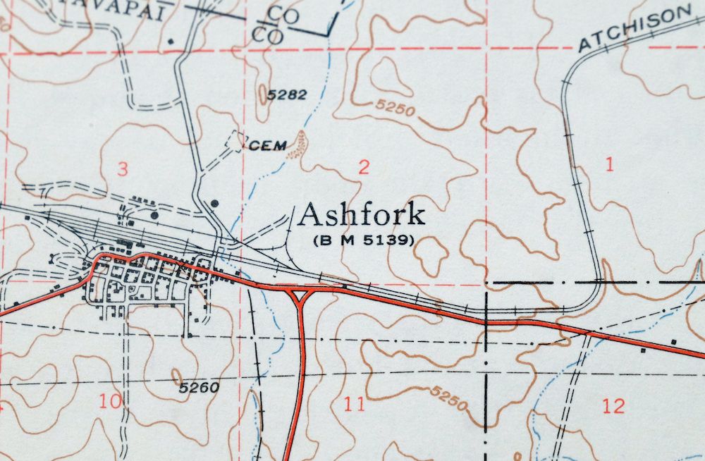
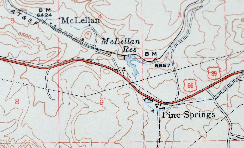
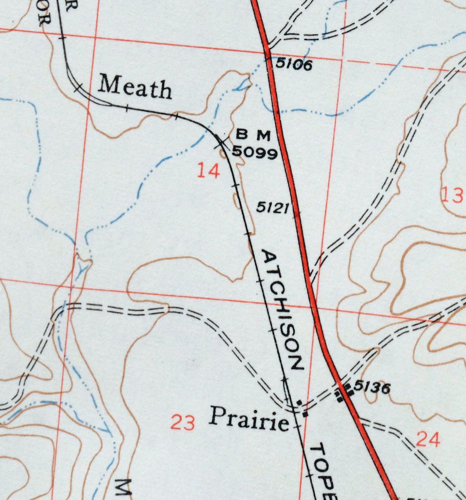
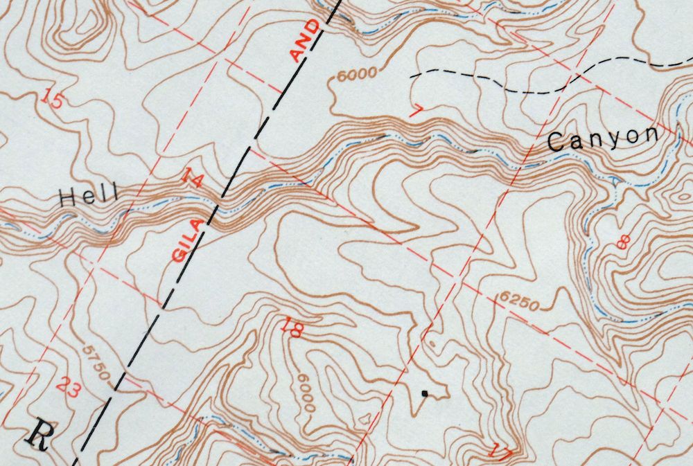
Ash Fork Arizona Kaibab NF Prescott NF USGS Topo Map 1949
$25
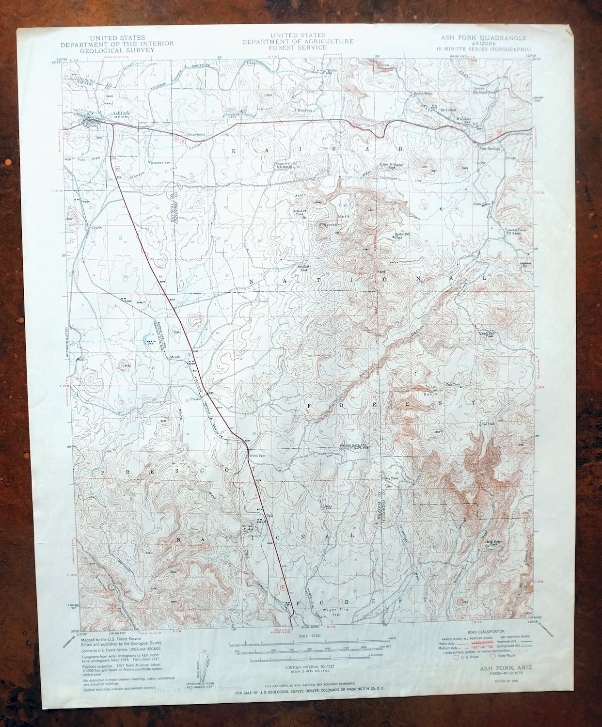
Surveyed before the existence of Interstate 40. This 1949 USGS topographic map of the Ash Fork quadrangle, in the 15-minute series at a scale of 1:62,500, was printed the same year its edition first appeared, drawn from aerial and field survey work done in 1946 and 1947. It covers a 14-by-17-mile stretch of northern Arizona about 40 miles west of Flagstaff, taking in the town of Ash Fork and reaching across Yavapai and Coconino counties into portions of the Prescott and Kaibab national forests.
In stock
This vintage sheet is a 1949 edition of the Ash Fork Arizona USGS topographic map. It is an original 77-year-old United States Geological Survey print in fair condition.
HOW THIS MAP CAN BE USED
In addition to making a fascinating conversation piece, this sheet would make a unique and prized gift for anyone interested in this area, be perfect as a reference for genealogy studies or general historical research, or fill that missing piece in your collection.
FEATURES SHOWN ON THE MAP
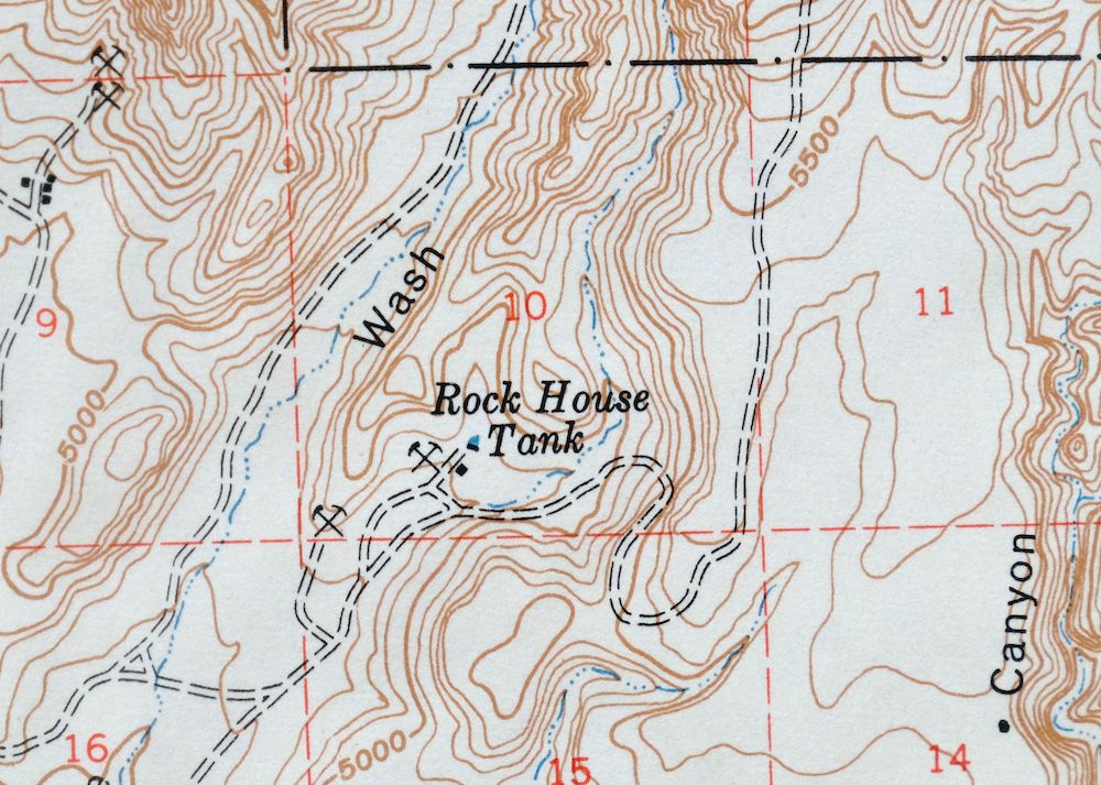
The Ash Fork 15-minute map shows cities and towns, roads, railroads, rivers, creeks, elevation contour lines, public land survey lines, county, state, and other administrative boundaries as they existed at the time of the survey in 1946 and 1947. All known structures (houses, businesses, churches, schools, barns, cabins, etc) are also shown.
A VALUABLE HISTORICAL RECORD
Maps from the 15-minute series for the continental United States are no longer produced or printed by the USGS and original prints are becoming increasingly difficult to find. They are a valuable historical record for an area, as they contain many placenames and features that have been dropped from more recent maps.
Nearby maps
-
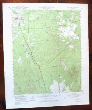
Ash Fork Arizona Kaibab NF Prescott NF USGS Topo Map 1978
$44 Add to cart -
Picacho Butte Arizona Chino Valley USGS 15-Min Topo Map 1950
$24 Add to cart -

Bill Williams Mountain Arizona Williams USGS Topo Map 1983
$40 Add to cart -

Clarkdale Arizona Cottonwood Jerome USGS Topo Map 1948
$44 Add to cart -

Simmons Arizona Paulden Williamson USGS 15-Min Topo Map 1964
$42 Add to cart -
Simmons Arizona Paulden Williamson USGS Topographic Map 1950
$27 Add to cart -
Camp Wood Arizona Prescott NF USGS Topographic Map 1949
$32 Add to cart -
Prescott Arizona Chino Valley Williamson USGS Topo Map 1948
$25 Add to cart -
Valle Arizona Kaibab Quivero USGS Topo Map 1964 Vintage
$28 Add to cart -
Mingus Mountain Arizona Cottonwood USGS Topographic Map 1970
$51 Add to cart -
Ebert Mountain Arizona Red Mountain USGS Topo Map 1969
$36 Add to cart -
Sheridan Mountain Arizona Sycamore Creek USGS Topo Map 1978
$35 Add to cart -

Mount Union Arizona Prescott NF Mayer USGS Topo Map 1949
$34 Add to cart -
Mount Union Arizona Prescott NF Mayer USGS Topo Map 1964
$43 Add to cart -
S P Mountain Arizona USGS 15-Min Topo Map 1975 Vintage
$34 Add to cart -
Mountainaire Arizona Coconino NF USGS Topo Map 1964 Vintage
$36 Add to cart -

Camp Verde Arizona Cottonwood Sedona USGS Topo Map 1965
$56 Add to cart -

Congress Arizona Yarnell Wilhoit USGS Topo Map 1948 Vintage
$38 Add to cart -

Diamond Creek Arizona Grand Canyon Nelson USGS Topo Map 1927
$130 Add to cart -
Crown King Arizona Prescott NF USGS Topo Map 1955 Vintage
$46 Add to cart -

Crown King Arizona Prescott NF USGS Topo Map 1950 Vintage
$33 Add to cart -
Turret Peak Arizona Camp Verde Pine USGS Topo Map 1933
$65 Add to cart -
1962 Turret Peak Arizona USGS Topo Map: Verde River
$54 Add to cart -
Bright Angel Arizona Grand Canyon Tusayan USGS Topo Map 1912
$30 Add to cart