MAP DETAILS | |
|---|---|
| TITLE | Germantown |
| STATE | Tennessee |
| SURVEYED | 1963 and 1965 Aerial and Field Survey |
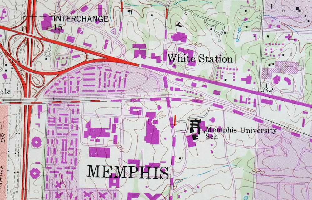
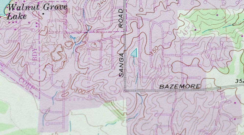
| REVISIONS | Photo revision in 1993 is shown in purple. |
| PRINT NOTES | Includes woodland tint (green to indicate vegetated areas). A reddish tint is used to indicate urban areas where only landmark buildings are shown. |
| SCALE | 1:24000 |
| CONTOUR INTERVAL | 10 feet |
| SHEET DIMENSIONS | 22 x 27 inches (approximate) |
| MAP DIMENSIONS | 18 5/8 x 22 3/4 inches |
| COVERAGE AREA | 7 x 9 miles |
| SHEET CONDITION For maps of this vintage, effort is made to note all visible flaws, no matter how minor. | |
| SHEET NOTES | lightly handled, never folded |
| MAP AREA | flawless map area |
| COLLARS | no markings, no blemishes, library stamps in bottom right collar, minor edge wear in upper left collar |
| MAP COVERAGE Quadrangle extent overlaid on current basemap. | |
| PLACENAMES Depending on map series and survey date, all of the features listed below may not be shown on this map. This list contains features that currently exist or historically existed within the area covered by the map. The list can be used as a reference to determine if this map covers your area of interest. Placenames are listed alphabetically next to each feature type. | |
| NOTABLE PLACES | Memphis, Forest Hill, and Autumn Ridge |
| CITIES AND TOWNS (CURRENT) | Germantown |
| COUNTIES COVERED | Shelby |
| RIVERS AND STREAMS | Nonconnah Creek and Wolf River |
| WATER BODIES | Glen Echo Lake, Hamilton Lake, Hunt Lake, Jamieson Lake, Nolan Lake, Norfleet Turner Lake, Old Optimist Boys Camp Lake, and Walnut Grove Lake |
| Locations: East Park Village Shopping Center, Exeter Village Shopping Center, Farmington Country Club, Fox Meadows Country Club, Hickory Commons Shopping Center, Hickory Ridge Crossing Shopping Center, Hickory Ridge Mall Shopping Center, Kirby Parkway Center Shopping Center, Kirby Woods Mall Shopping Center, Loehmanns Plaza Shopping Center, Park Place Mall Shopping Center, Ridgeway Country Club, Schaeffer Center of Germantown Shopping Center, Winchester Court Shopping Center, Windyke Country Club, and Yorkshire Square Shopping Center. Parks: Cameron-Brown Park, Farmington Park, Fox Meadows Park, Franklin-Morgan Woods-Cloyes Park, Hacks Cross Road Park, Howard McVay Park, Lichterman Park, May Park, Poplar Estates Parkway, and Riverdale Park. Churches: Central Church, Church of the Holy Apostles, Eastland Church, Forest Hill Baptist Church, Germantown Church of Christ, Germantown Presbyterian Church, Germantown United Methodist Church, Grace Presbyterian Church, Hickory Hill Church, New Sardis Church, Polk Chapel, Prospect Church, Saint Georges Episcopal Church, The Church of Our Lady, and Zion Church. Hospitals: Saint Francis Hospital. Buildings: Neshoba Community Center. Dams: Glen Echo Lake Dam, Hamilton Lake Dam, Hunt Lake Dam, Jamieson Lake Dam, Nolan Lake Dam, Norfleet Turner Dam, Old Optimist Boys Camp Lake Dam, and Walnut Grove Lake Dam. Crossings: Interchange 15. Schools: Crump Elementary School, Dogwood Elementary School, Farmington Elementary School, Germantown Elementary School, Germantown High School, Germantown Middle School, Hutchison School, Kirby High School, Lausanne School, Memphis University School, Neshoba School, Ridgeway Elementary School, Ridgeway High School, Riverdale Elementary School, Ross Elementary School, and Saint Georges School. Reservoirs and Tanks: Glen Echo Lake, Hamilton Lake, Hunt Lake, Jamieson Lake, Nolan Lake, Norfleet Turner Lake, Old Optimist Boys Camp Lake, and Walnut Grove Lake. Towers: WLVS-FM (Germantown) and WWEE-AM (Germantown). | |
| SHIPPING AND RETURNS | |
 Ships carefully rolled in a sturdy 2" x 24" mailing tube. Shipping and return details are in our terms. | |
1965 USGS Topo Map: Germantown, Tennessee (1994 Print)
$23
- Vicinity of Memphis.
- 7.5-minute series, 1965 edition, printed in 1994.
- Very good condition, never folded.
In stock
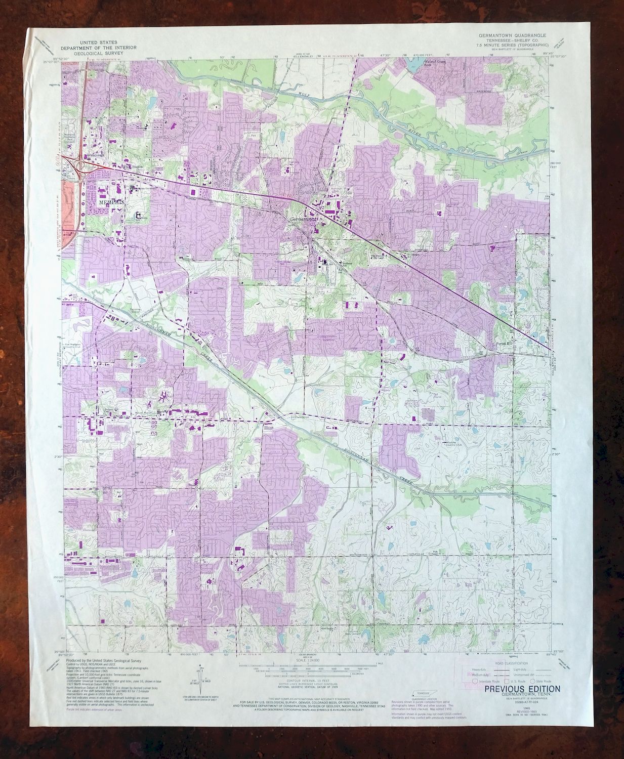
This contemporary sheet is a 1965 edition of the Germantown Tennessee USGS topographic map revised in 1993 using aerial photography. It is an original 32-year-old 1994 United States Geological Survey print in very good condition.
HOW THIS MAP CAN BE USED
In addition to making a fascinating conversation piece, this sheet would look great in a frame or on display, make a unique and prized gift for anyone interested in this area, be perfect as a reference for genealogy studies or general historical research, or fill that missing piece in your collection. Maps of this vintage are printed on durable stock and are well-suited for outdoor activities and recreation of all kinds, including hiking, backpacking, hunting, rafting and kayaking, backcountry skiing, geocaching, general exploration, treasure hunting, etc.
FEATURES SHOWN ON THE MAP
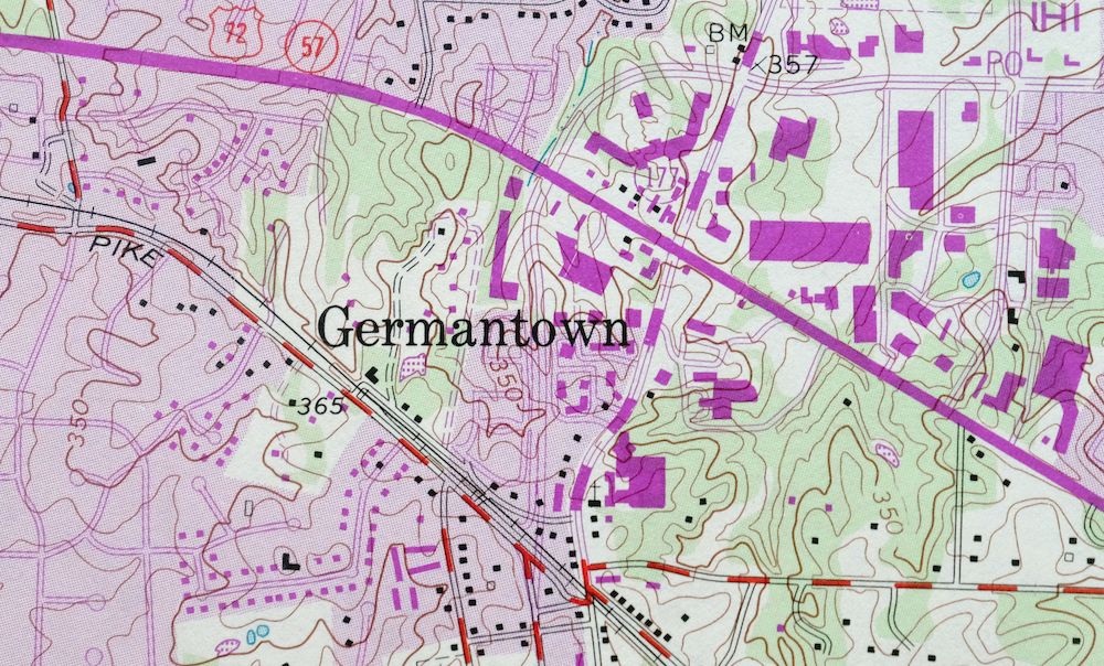
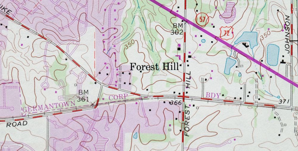
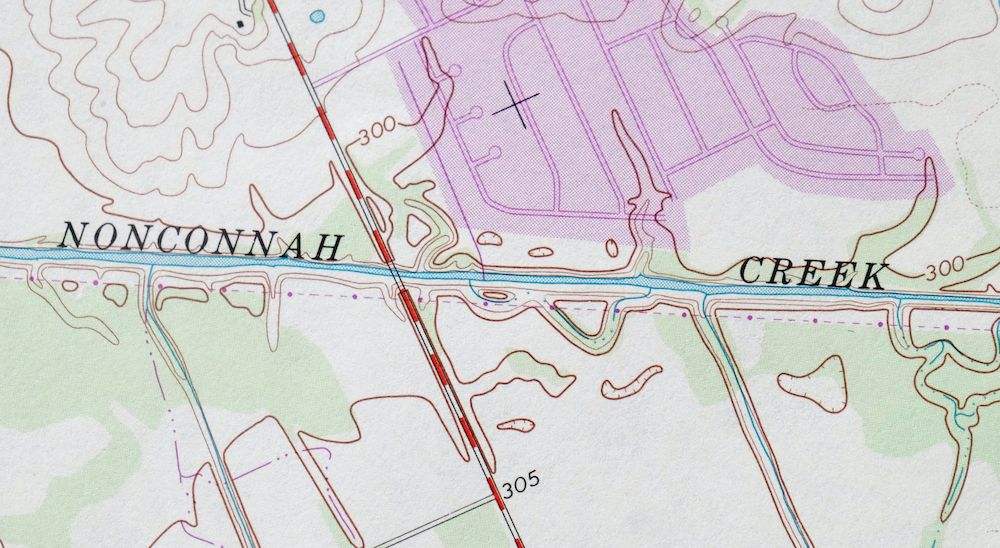
The Germantown 7.5-minute map shows cities and towns, roads, paths, railroads, utilities and energy infrastructure, rivers, creeks, elevation contour lines, public land survey lines, county, state, and other administrative boundaries as they existed at the time of the survey in 1963 and 1965. A reddish tint is used on this sheet to indicate urban areas where only landmark buildings are depicted. Outside of those areas, all known structures (houses, businesses, churches, schools, barns, cabins, etc) are shown.
A VALUABLE HISTORICAL RECORD
This map is from the 7.5-minute series, the most detailed series that is widely available from the USGS. The 1965 Germantown map is a valuable historical record for the area. It contains some placenames and features that have been dropped from more recent maps.
The map was photorevised in 1993. Any features that changed or were added between the original edition year of 1965 and the photorevision year of 1993 are overlayed in purple. The purple overlay provides an excellent view of the fast-growing and changing areas within the quad boundary.
Nearby maps
-
Southeast Memphis, Capleville, Tennessee 1965 USGS Topo Map
$42 Add to cart -

Ellendale, Tennessee 1965 USGS Topo Map: Memphis
$41 Add to cart -
1965 USGS Topo Map: Northeast Memphis, Egypt, Tennessee
$43 Add to cart -
Southwest Memphis, Tennessee/Arkansas 1965 USGS Topo Map
$41 Add to cart -
1965 USGS Topo Map: Northwest Memphis, Tennessee/Arkansas
$36 Add to cart -

Millington, Tennessee 1971 USGS Topo Map (1994 Print)
$27 Add to cart -
Marks, Mississippi 1935 USGS War Department Topo Map
$27 Add to cart -
1950 USGS Topo Map: Jackson North, Tennessee (1980 Print)
$45 Add to cart -

1950 USGS Topo Map: Martin, Ralston, Tennessee (1981 Print)
$43 Add to cart -

Cairo, Illinois/Kentucky 1953 USGS Topo Map: Mounds
$37 Add to cart -
Alexander, Little Rock, Arkansas 1946 USGS Topo Map
$29 Add to cart -
Jonesboro, Illinois/Missouri 1947 USGS Topo Map
$40 Add to cart -
Flora, Tinsley, Mississippi 1962 USGS Topo Map (Bentonia)
$16 Add to cart -

1947 USGS Topo Map: Farmington, Tennessee (1968 Print)
$35 Add to cart -
Ironton, Missouri 1945 USGS Topo Map (1968 Print)
$25 Add to cart -

Nashville West, Tennessee 1968 USGS Topo Map
$40 Add to cart -
Antioch, South Nashville, Tennessee 1968 USGS Topo Map
$42 Add to cart -
1957 USGS Topo Map: Nashville East, Lakewood, Tennessee
$40 Add to cart -
1968 USGS Topo Map: Nashville East, Lakewood, Tennessee
$40 Add to cart -

Chester, Missouri/Illinois 1947 USGS Topo Map: Brewer
$35 Add to cart -

1952 USGS Topo Map: Goodlettsville, Old Hickory, Tennessee
$43 Add to cart -
1968 USGS Topo Map: Goodlettsville, Old Hickory, Tennessee
$45 Add to cart -
Walterhill, Tennessee 1950 USGS Topo Map (1984 Print)
$26 Add to cart -
Potosi, Mark Twain NF, Missouri 1906 USGS Topo Map
$69 Add to cart