MAP DETAILS | |
|---|---|
| TITLE | Chico |
| STATE | California |
| LOCATION | 75 miles north of Sacramento |
| SERIES | 15-minute |
| SURVEYED | 1947 through 1949 Aerial and Field Survey |
| EDITION | 1949 |
| PRINTED | 1968 |
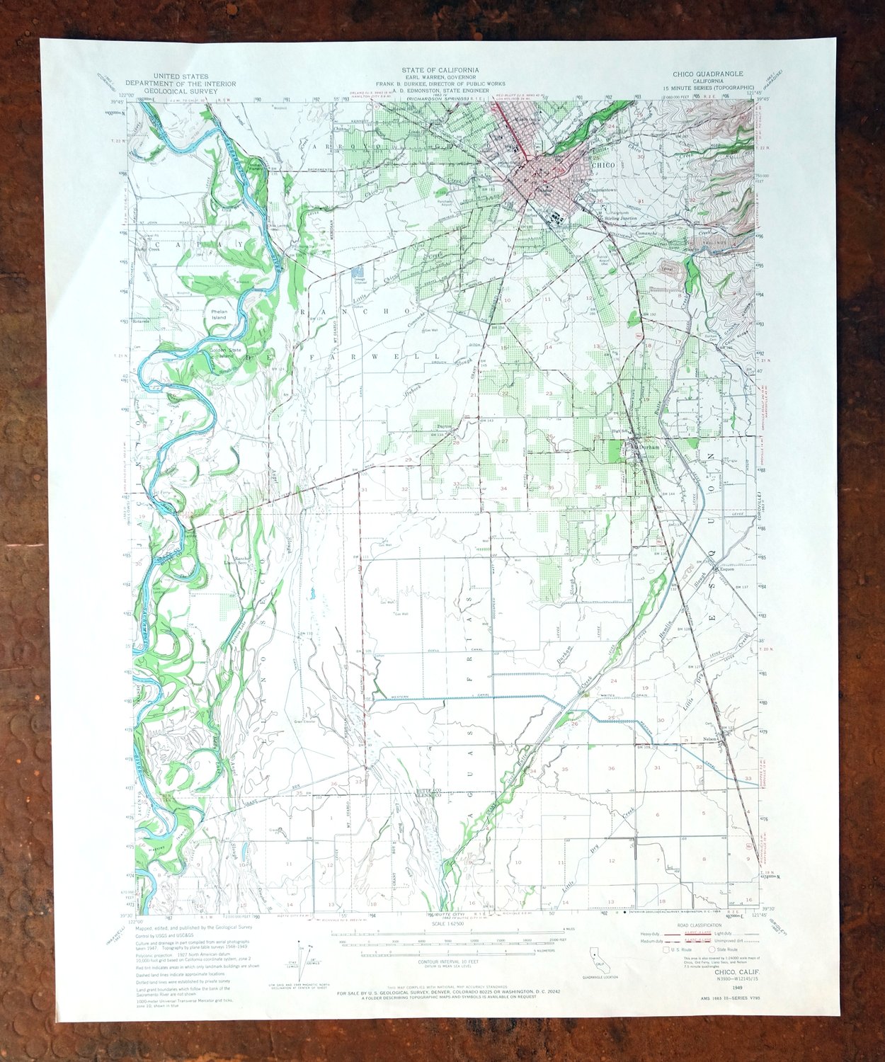
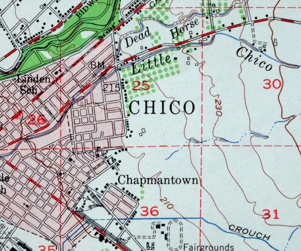
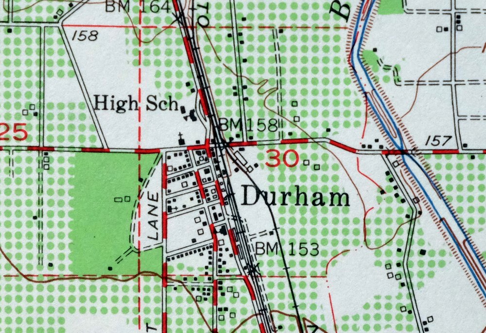
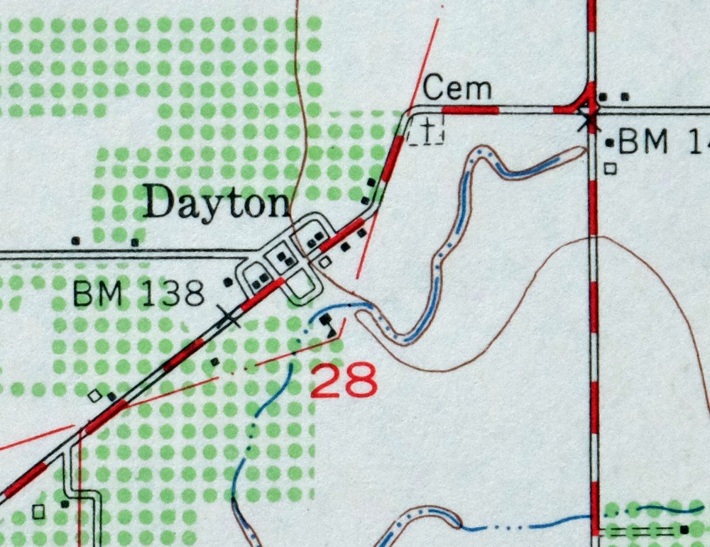
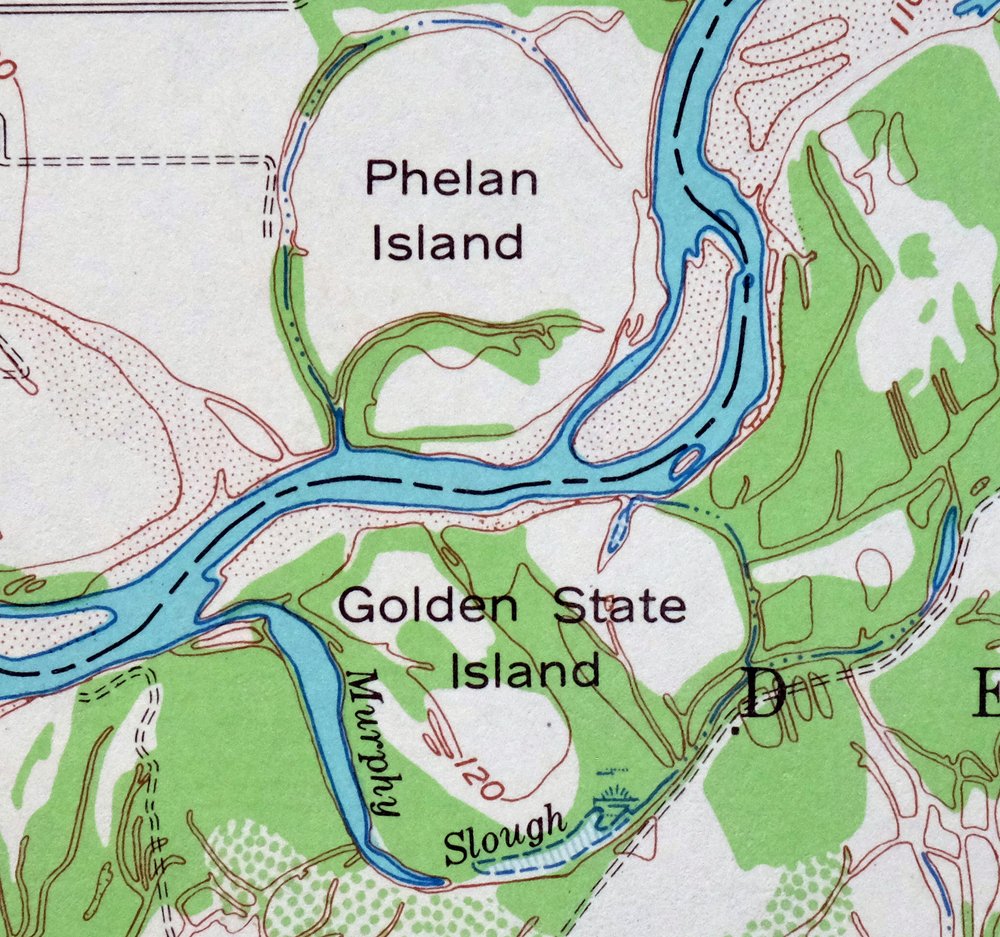
| PRINT NOTES | Thick paper stock, includes woodland tint (green to indicate vegetated areas). A reddish tint is used to indicate urban areas where only landmark buildings are shown. |
| SCALE | 1:62500 |
| CONTOUR INTERVAL | 10 feet |
| SHEET DIMENSIONS | 17 x 21 inches |
| MAP DIMENSIONS | 13 1/2 x 17 1/2 inches |
| COVERAGE AREA | 13 x 17 miles |
| SHEET CONDITION For maps of this vintage, effort is made to note all visible flaws, no matter how minor. | |
| OVERALL CONDITION | Very Good |
| SHEET NOTES | lightly handled, never folded, light crease in upper left sheet corner |
| MAP AREA | no markings, no blemishes |
| COLLARS | no wear or tears, no markings, no blemishes |
| MAP COVERAGE Quadrangle extent overlaid on current basemap. | |
| PLACENAMES Depending on map series and survey date, all of the features listed below may not be shown on this map. This list contains features that currently exist or historically existed within the area covered by the map. The list can be used as a reference to determine if this map covers your area of interest. Placenames are listed alphabetically next to each feature type. | |
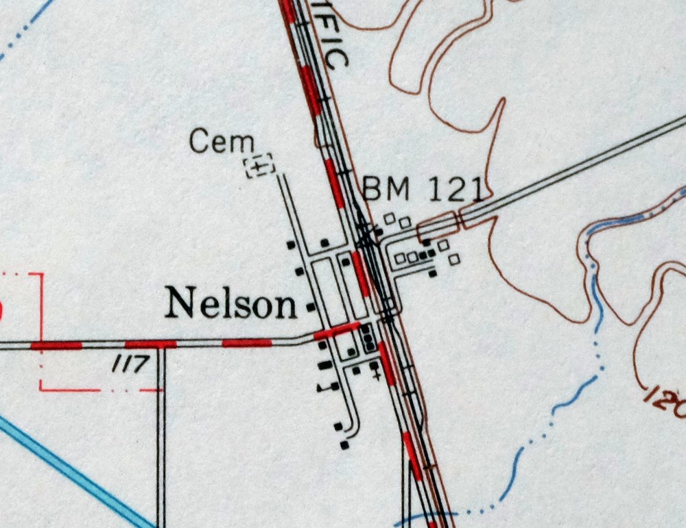
| NOTABLE PLACES | Sacramento River, Durham, Dayton, and Nelson |
| CITIES AND TOWNS (CURRENT) | Chico |
| COUNTIES COVERED | Butte and Glenn |
| FEDERAL LAND UNITS | Sacramento River National Wildlife Refuge |
| RIVERS AND STREAMS | Angel Slough, Big Chico Creek, Butte Creek, Channel Slough, Durham Slough, Kusal Slough, Little Butte Creek, Little Chico Creek, Little Dry Creek, Mud Creek, Murphy Slough, Pine Creek, and Rock Creek |
| WATER BODIES | Eddy Lake, The Lagoon, and Perkins Lake |
| Locations: Bidwell Mansion State Monument, Butte Creek Country Club, Chico Landing, Diamond Match Factory, Mechoopda Indian Rancheria, Newhard Landing, Ord Ferry, Park Village Shopping Center, Parrott Landing, Pine Creek Landing, Scottys Boat Landing, Stony Creek, and United States Department of Agriculture Plant Introduction Garden. Administrative Boundaries: Aguas Frias, Esquon, Llano Seco, and Rancho De Farwell. Valleys and Canyons: Crouch Ravine and Sandy Gulch. Parks: Bidwell Park, Big Chico Creek Day Use Area, Depot Park, Oak Way Park, Ordbend County Park, Silver Dollar Fairgrounds, and Twentieth Street Park. Drainages: Big Chico Creek, Channel Slough, Comanche Creek, Dead Horse Slough, Dubock Slough, Durham Slough, Hamlin Slough, Kusal Slough, Lindo Channel, Little Butte Creek, Little Chico Creek, Mud Creek, Murphy Slough, Negro Sam Slough, Pine Creek, and Stony Creek. Islands: Golden State Island, Hartley Island, Phelan Island, and Ryan Island. Churches: Apostolic Gospel Temple, Bidwell Memorial Presbyterian Church, Calvary Southern Baptist Church, Chico Gospel Hall, Church of Christ, Church of God, Church of the Brethren, First Assembly of God Church, Four Square Church, Free Methodist Church, Grace Brethren Church, Kingdom Hall of Jehovahs Witnesses, Pentecostal Church of God, Pentecostal Church of God Faith Tabernacle, Reorganized Church of Jesus Christ of Latter Day Saints, Saint John the Baptist Roman Catholic Church, Saint Johns Episcopal Church, Seventh Day Adventist Church, Southside Foursquare Church, The Church of Jesus Christ of Latter Day Saints, The Esplanade Baptist Church, The Neighborhood Church, and Trinity Methodist Church. Hospitals: Enloe Hospital. Lakes and Ponds: Eddy Lake, The Lagoon, and Perkins Lake. Buildings: Bidwell Mansion, Chapman Neighborhood Center, Chico Branch Butte County Library, Chico City Hall, Chico Museum, Craig Hall, Durham Branch Butte County Library, Fire Station Number 1, Fire Station Number 2, Meriam Library, and Veterans Memorial Building. Canals: Butte Creek Diversion Channel, Crough Ditch, Durham Mutual Ditch, Odell Canal, and Western Canal. Bayous and Sloughs: Deadmans Reach, Dunning Slough, Perch Slough, and Shannon Slough. Bends: Jenny Lind Bend. Airports: Butte Creek Hog Ranch Airport, Enloe Hospital Heliport, and Ranchaero Airport. Schools: Aymer Jay Hamilton Elementary School, Bidwell School, California State University Chico, Chapman Elementary School, Chico Junior High School, Chico Senior High School, Citrus Avenue Elementary School, Durham High School, Durham Intermediate School, Fair View High School, Hooker Oak Elementary School, Neal Dow Elementary School, Notre Dame School, Parkview Elementary School, and Rosedale Elementary School. Towers: KPAY-AM (Chico). Springs: Colyear Springs. | |
| SHIPPING AND RETURNS | |
 This map sheet will be carefully rolled in a sturdy tube and shipped via the US Postal Service. If you find that the sheet you receive is not as described in the listing, you may ship it back to us for a refund of the purchase price. | |
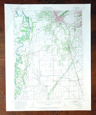
1968 Chico California USGS Topo Map: Sacramento River
$41
This 15-minute topographic sheet maps the Chico area of northern California, drawn from aerial and field survey work done between 1947 and 1949. First published as a 1949 edition and printed in 1968 on thick stock with a green woodland tint, it covers a stretch of the Sacramento River valley about 75 miles north of Sacramento, spanning parts of Butte and Glenn counties and including the communities of Durham and Dayton. The flat farmland along the river traces the valley’s long agricultural history. Never folded, with no markings in the mapped area.
In stock
This vintage sheet is a 1949 edition of the Chico California USGS topographic map. It is an original 58-year-old 1968 United States Geological Survey print in very good condition.
HOW THIS MAP CAN BE USED
In addition to making a fascinating conversation piece, this sheet would look great in a frame or on display, make a unique and prized gift for anyone interested in this area, be perfect as a reference for genealogy studies or general historical research, or fill that missing piece in your collection. Maps of this vintage are printed on durable stock and are well-suited for outdoor activities and recreation of all kinds, including hiking, backpacking, hunting, rafting and kayaking, backcountry skiing, geocaching, general exploration, treasure hunting, etc.
FEATURES SHOWN ON THE MAP
The Chico 15-minute map shows cities and towns, roads, railroads, utilities and energy infrastructure, rivers, creeks, elevation contour lines, public land survey lines, county, state, and other administrative boundaries as they existed at the time of the survey in 1947 through 1949. A reddish tint is used on this sheet to indicate urban areas where only landmark buildings are depicted. Outside of those areas, all known structures (houses, businesses, churches, schools, barns, cabins, etc) are shown.
A VALUABLE HISTORICAL RECORD
Maps from the 15-minute series for the continental United States are no longer produced or printed by the USGS and original prints are becoming increasingly difficult to find. They are a valuable historical record for an area, as they contain many placenames and features that have been dropped from more recent maps.
Nearby maps
-

Richardson Springs California Chico Nord USGS Topo Map 1966
$35 Add to cart -
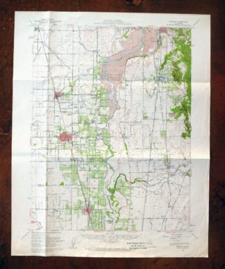
Gridley California Oroville Live Oak USGS Topo Map 1959
$37 Add to cart -
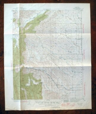
Fruto California Stony Creek Nye Creek USGS Topo Map 1944
$30 Add to cart -
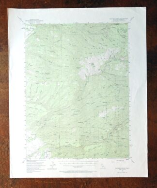
Panther Spring California USGS 15-Min Topo Map 1970 Vintage
$36 Add to cart -
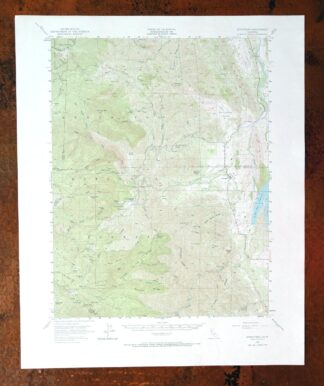
Stonyford California USGS 15-Min Topo Map 1967 Vintage
$39 Add to cart -
1967 USGS Topo Map: Clearlake Oaks, California
$40 Add to cart -
1978 USGS Topo Map: Mount Harkness, California
$36 Add to cart -
Lakeport California Lucerne Nice USGS Topo Map 1977 Vintage
$46 Add to cart -
Manzanita Lake California Viola USGS Topo Map 1974 Vintage
$39 Add to cart -
Westwood California USGS 15-Min Topographic Map 1961 Vintage
$38 Add to cart -
Sierraville California Calpine Loyalton USGS Topo Map 1969
$42 Add to cart -
Susanville California Janesville USGS Topo Map 1966 Vintage
$39 Add to cart -
Milford California USGS 15-Min Topographic Map 1966 Vintage
$40 Add to cart -
Mount Vaca California Fairfield Vacaville USGS Topo Map 1967
$45 Add to cart -
Lamoine California Shasta Lake USGS Topo Map 1974 Vintage
$42 Add to cart -
1955 USGS Topo Map: Loyalton, California/Nevada (1980 Print)
$42 Add to cart -
1950 USGS Topo Map: Chilcoot, California/Nevada (1983 Print)
$40 Add to cart -
Litchfield California Susanville USGS Topo Map 1972 Vintage
$40 Add to cart -
Glenblair California Comptche USGS Topo Map 1943 Vintage
$38 Add to cart -
Fredonyer Peak California USGS 15-Min Topo Map 1972 Vintage
$32 Add to cart -
Pittsburg California Concord Fairfield USGS Topo Map 1965
$38 Add to cart -
1972 USGS Topo Map: Reno, Toiyabe NF, Nevada (Vintage Print)
$22 Add to cart -
Piercy California USGS 15-Min Topographic Map 1971 Vintage
$33 Add to cart -
Port Chicago California Concord Martinez USGS Topo Map 1956
$38 Add to cart