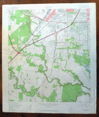
MAP DETAILS | |
|---|---|
| TITLE | Terrell Wells |
| STATE | Texas |
| SURVEYED | 1952 and 1953 Aerial and Field Survey |
| PRINT NOTES | Thick paper stock, includes woodland tint (green to indicate vegetated areas). A reddish tint is used to indicate urban areas where only landmark buildings are shown. |
| SCALE | 1:24000 |
| CONTOUR INTERVAL | 10 feet |
| SHEET DIMENSIONS | 23 x 27 inches |
| MAP DIMENSIONS | 19 7/8 x 22 3/4 inches |
| COVERAGE AREA | 8 x 9 miles |
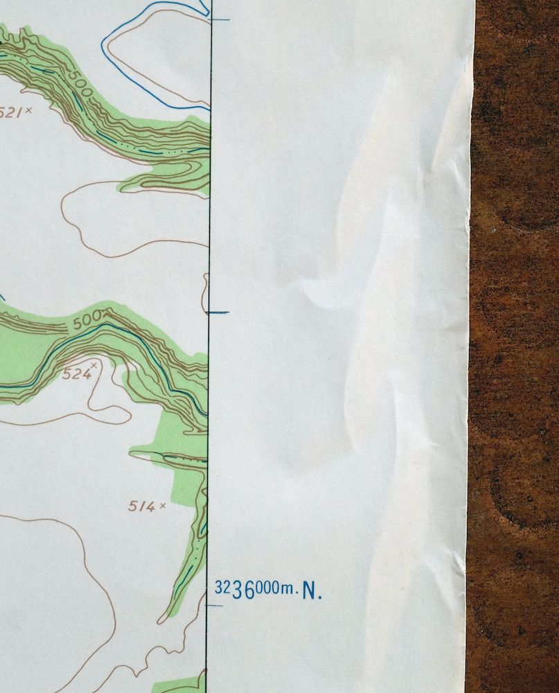
| SHEET CONDITION For maps of this vintage, effort is made to note all visible flaws, no matter how minor. | |
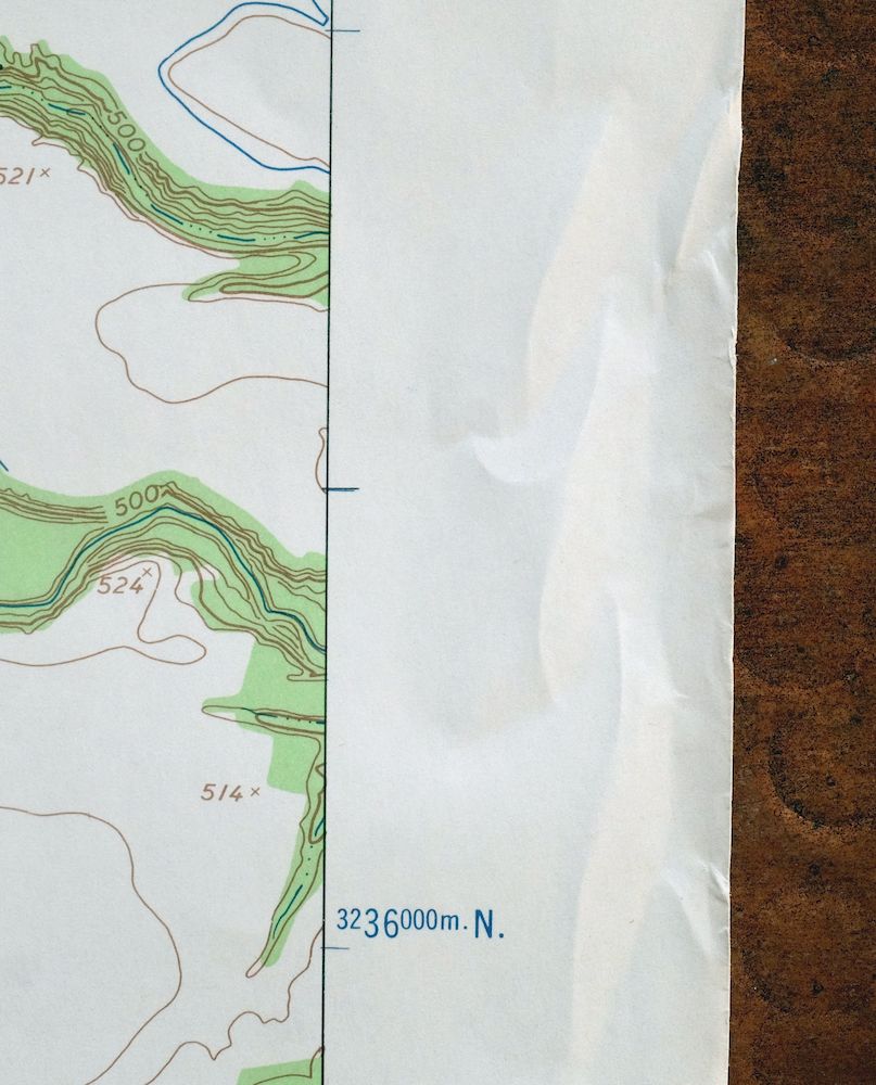
| SHEET NOTES | lightly handled, never folded, crease across sheet midsection, upper left portion of sheet is slightly discolored with age |
| MAP AREA | no wear, no markings |
| COLLARS | no markings, no edge tears, some storage wear along collar edges |
 | |
| MAP COVERAGE Quadrangle extent overlaid on current basemap. | |
| PLACENAMES Depending on map series and survey date, all of the features listed below may not be shown on this map. This list contains features that currently exist or historically existed within the area covered by the map. The list can be used as a reference to determine if this map covers your area of interest. Placenames are listed alphabetically next to each feature type. | |
| NOTABLE PLACES | San Antonio and Medina River |
| CITIES AND TOWNS (CURRENT) | Lackland AFB |
| COUNTIES COVERED | Bexar |
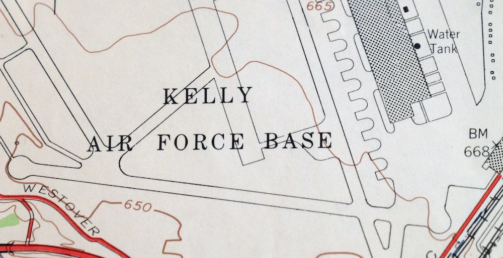
| FEDERAL LAND UNITS | Kelly Air Force Base (Scheduled to close) |
| RIVERS AND STREAMS | Comanche Creek, Elm Creek, Indian Creek, Leon Creek, Medio Creek, and Sixmile Creek |
| WATER BODIES | Canvasback Lake and Mitchell Lake |
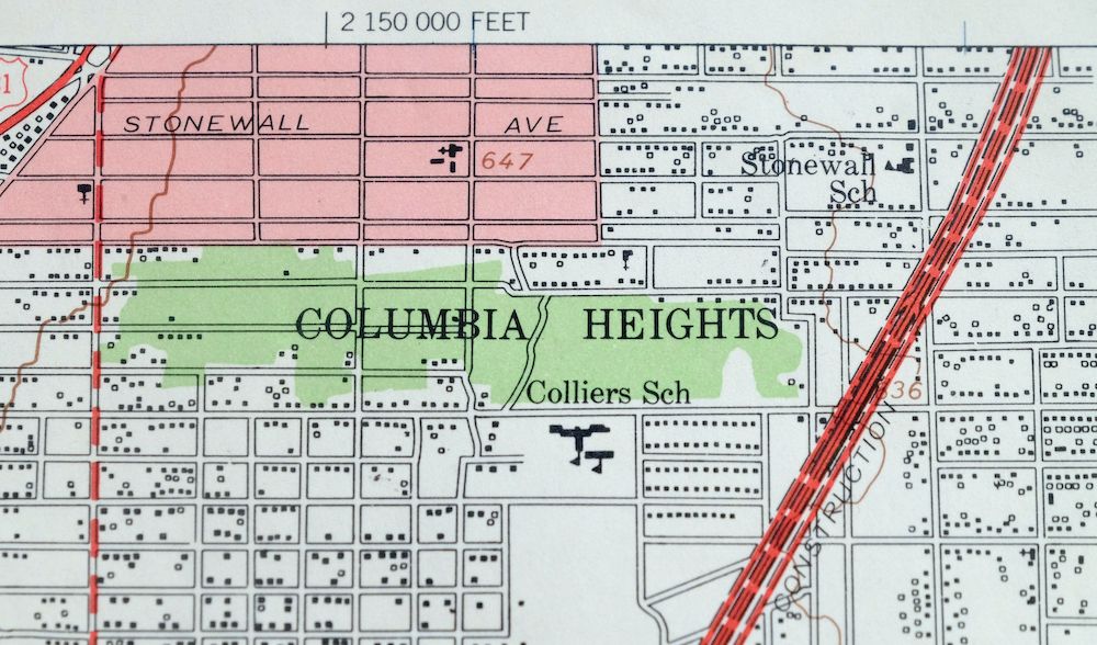
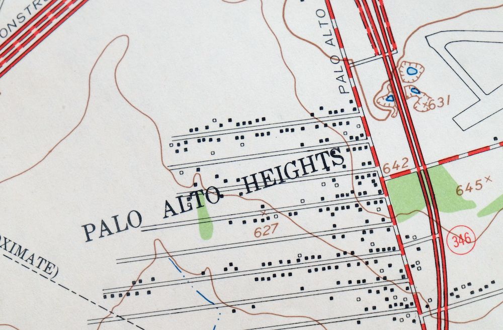
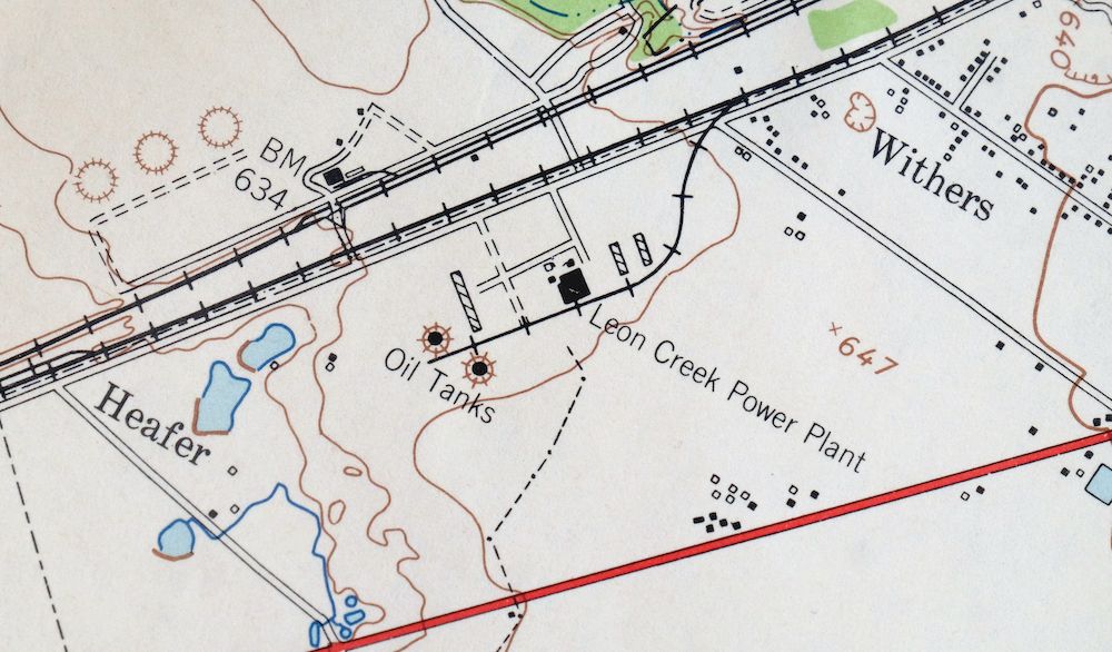
| Locations: Leon Creek Powerplant. Mountains, Peaks, and Summits: Curly Hill, Prickly Pear Hill, and Red Oak Hill. Parks: Forge Park, Millers Pond Park, Palo Alto Park, Palo Alto Terrace Park, Pearsall Park, Ramirez Park, Royal Gate Park, South San Park, and Southcross Park. Drainages: Comanche Creek, Elm Creek, Indian Creek, and Medio Creek. Churches: Hispanic Baptist Seminary, Saint Clare Church, and Saint Leonards Church. Hospitals: Southwest General Hospital. Dams: Ballasetal Lake Dam, Canvasback Lake Dam, and Kilroy Lake Dam. Airports: H B Zachry Heliport and Horizon Airport. Schools: Athens Avenue School, Bellaire School, Carroll Bell School, Collier School, Dwight High School, Flanders School, Fleming Avenue School, Gerald School, Gilette School, Harlandale High School, Hutchin Avenue School, Kazen Middle School, Kindred School, La Salle High School, McCollum High School, Olivares Elementary School, Our Lady of Angels School, Palo Alto Community College, Palo Alto School, Price Avenue School, Rayburn School, Royal Gate School, Saint Joseph School, Shepard Middle School, South San Antonio High School, South San Antonio High School West Campus, Southcross Junior High School, Stonewall School, Terrel Wells Junior High School, and Vestal School. Reservoirs and Tanks: Ballasetal Lake, Canvasback Lake, and Kilroy Lake. Towers: KFIT-AM (San Antonio). | |
| SHIPPING AND RETURNS | |
 Ships carefully rolled in a sturdy 2" x 24" mailing tube. Shipping and return details are in our terms. | |
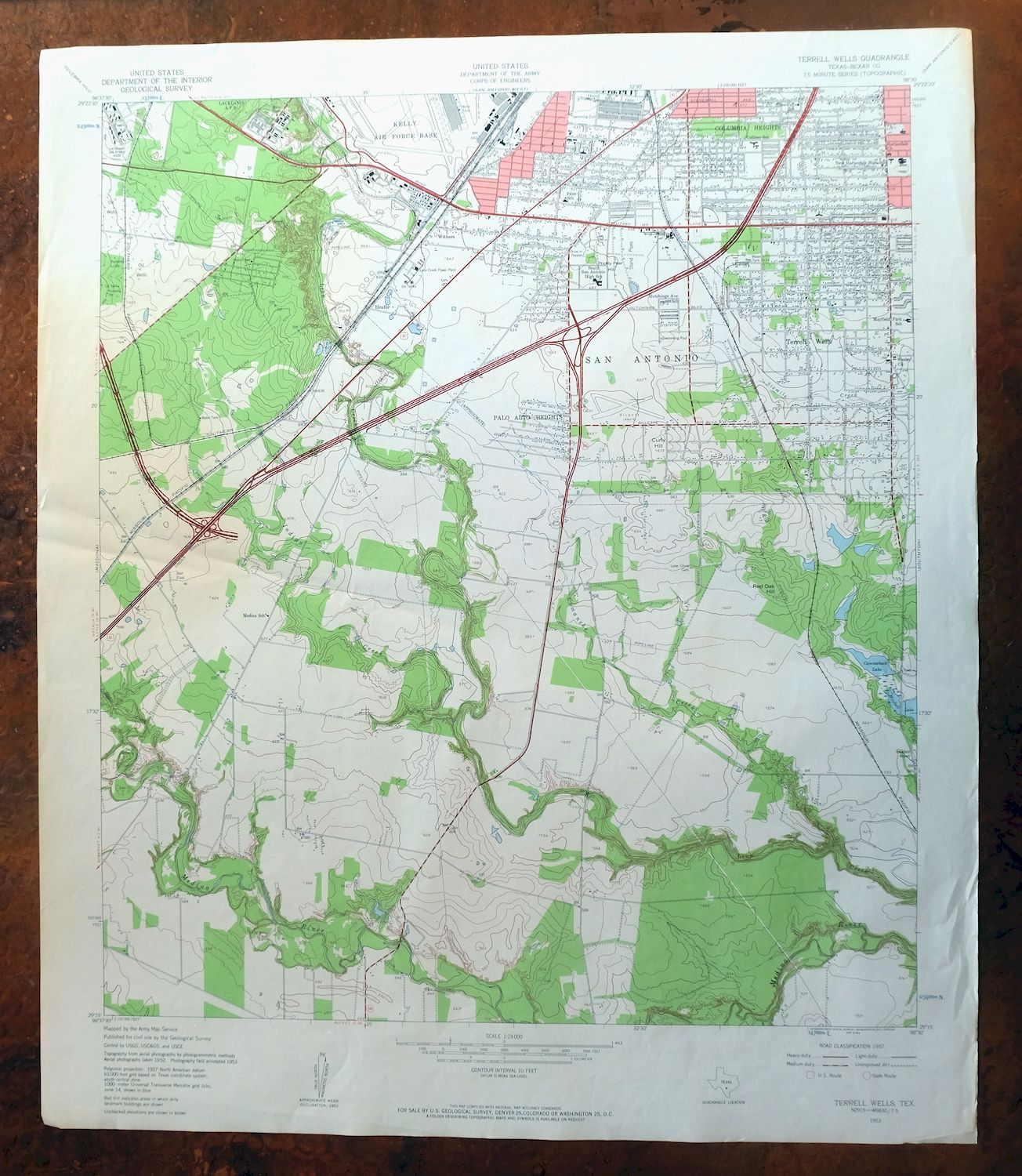
Terrell Wells, Texas 1953 USGS Army COE Topo Map
$21
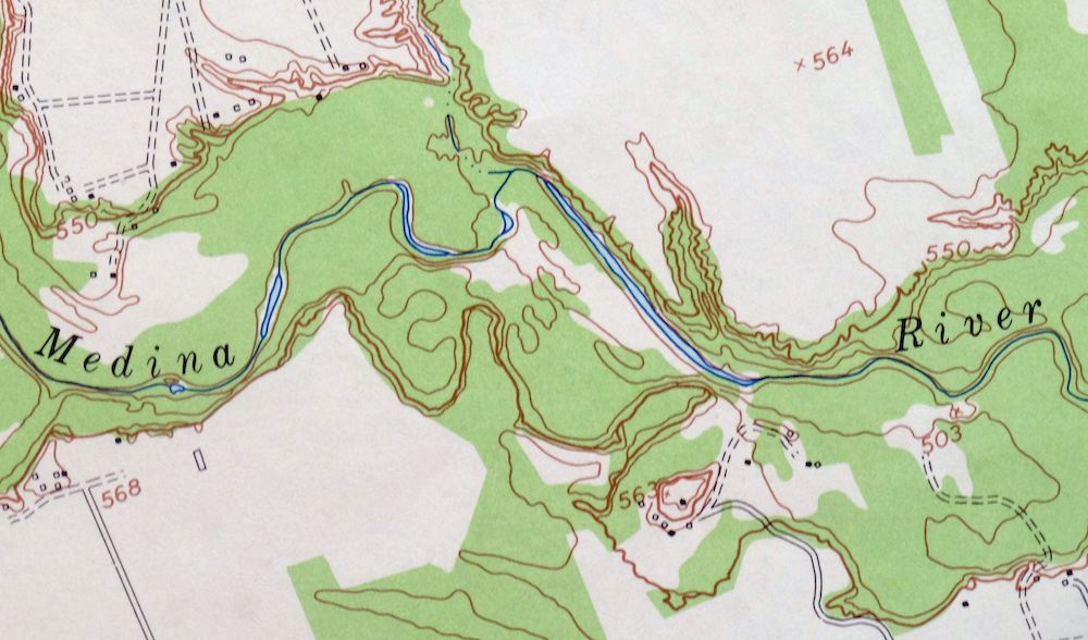
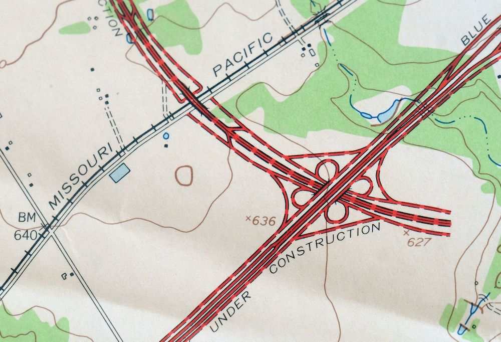
A fascinating historical snapshot surveyed before the southwestward expansion of San Antonio’s suburbs and the modern freeway system, depicting a landscape that was primarily woods and fields, showing all structures beyond city limits that existed at the
- Vicinity of San Antonio.
- 7.5-minute series, 1953 edition, printed in 1959.
- Good condition, never folded.
In stock
This vintage sheet is a 1953 edition of the Terrell Wells Texas USGS topographic map. It is an original 67-year-old 1959 United States Geological Survey print in good condition.
HOW THIS MAP CAN BE USED
In addition to making a fascinating conversation piece, this sheet would look great in a frame or on display, make a unique and prized gift for anyone interested in this area, be perfect as a reference for genealogy studies or general historical research, or fill that missing piece in your collection. Maps of this vintage are printed on durable stock and are well-suited for outdoor activities and recreation of all kinds, including hiking, backpacking, hunting, rafting and kayaking, backcountry skiing, geocaching, general exploration, treasure hunting, etc.
FEATURES SHOWN ON THE MAP
The Terrell Wells 7.5-minute map shows cities and towns, roads, paths, railroads, utilities and energy infrastructure, rivers, creeks, elevation contour lines, public land survey lines, county, state, and other administrative boundaries as they existed at the time of the survey in 1952 and 1953. A reddish tint is used on this sheet to indicate urban areas where only landmark buildings are depicted. Outside of those areas, all known structures (houses, businesses, churches, schools, barns, cabins, etc) are shown.
A VALUABLE HISTORICAL RECORD
This map is from the 7.5-minute series, the most detailed series that is widely available from the USGS. The 1953 Terrell Wells map is a valuable historical record for the area. It contains some placenames and features that have been dropped from more recent maps.
Nearby maps
-

Southton, San Antonio, Texas 1953 USGS Army COE Topo Map
$44 Add to cart -
1953 USGS Army COE Topo Map: Macdona, Atascosa, Texas
$43 Add to cart -

San Antonio West, Texas 1953 USGS Army COE Topo Map
$44 Add to cart -

San Antonio East, Kirby, Texas 1953 USGS Army COE Topo Map
$52 Add to cart -
1953 USGS Army COE Topo Map: Martinez, China Grove, Texas
$36 Add to cart -
1953 USGS Army COE Topo Map: Longhorn, San Antonio, Texas
$44 Add to cart -
Van Raub, San Antonio, Texas 1953 USGS Army COE Topo Map
$41 Add to cart -

1947 USGS Army COE Topo Map: Mcmillan Mountains, Texas
$36 Add to cart -
Twin Mountains, Fort Hood, Texas 1947 USGS Army COE Topo Map
$37 Add to cart -
Post Oak Mountain, Texas 1947 USGS Army COE Topo Map
$39 Add to cart -

1947 USGS Army COE Topo Map: North Fort Hood, Texas
$39 Add to cart -
Palacios, Camp Hulen, Texas 1952 USGS Topo Map
$36 Add to cart -
1947 USGS Army COE Topo Map: Leon Junction, The Grove, Texas
$31 Add to cart -
1943 USGS Army COE Topo Map: Jones Creek, Freeport, Texas
$31 Add to cart -
West Brownsville, San Pedro, Texas 1956 USGS Topo Map
$37 Add to cart -
1955 USGS Topo Map: East Brownsville, Cameron Park, Texas
$29 Add to cart -
Silsbee, Lumberton, Texas 1955 USGS Topo Map
$21 Add to cart -
1960 USGS Topo Map: Sayre, Berlin, Oklahoma (Vintage Print)
$28 Add to cart -
1913 USGS Topo Map: De Queen, Hatfield, Arkansas/Oklahoma
$44 Add to cart -
De Queen, Hatfield, Arkansas/Oklahoma 1913 USGS Topo Map
$62 Add to cart -
1960 USGS Topo Map: Sweetwater, Oklahoma (15-minute Series)
$18 Add to cart -
1957 USGS Topo Map: Arch, Grulla NWR, New Mexico/Texas
$18 Add to cart -
Clovis, Texico, New Mexico/Texas 1957 USGS Topo Map
$14 Add to cart -
Baton Rouge, Plaquemine, Louisiana 1963 USGS Topo Map
$36 Add to cart