MAP DETAILS | |
|---|---|
| TITLE | Bears Ears |
| STATE | Utah |
| LOCATION | 20 miles west of Blanding |
| SERIES | 15-minute |
| SURVEYED | 1951 through 1954 Aerial and Field Survey |
| EDITION | 1954 |
| PRINTED | 1974 |
| PRINT NOTES | Thick paper stock, includes woodland tint (green to indicate vegetated areas) |
| SCALE | 1:62500 |
| CONTOUR INTERVAL | 80 feet |
| SHEET DIMENSIONS | 17 7/8 x 22 inches |
| MAP DIMENSIONS | 13 7/8 x 17 1/2 inches |
| COVERAGE AREA | 14 x 17 miles |
| SHEET CONDITION For maps of this vintage, effort is made to note all visible flaws, no matter how minor. | |
| OVERALL CONDITION | Very Good |
| SHEET NOTES | lightly handled, never folded |
| MAP AREA | no markings, no blemishes |
| COLLARS | no wear or tears, no markings, no blemishes |
| MAP COVERAGE Quadrangle extent overlaid on current basemap. | |
| PLACENAMES Depending on map series and survey date, all of the features listed below may not be shown on this map. This list contains features that currently exist or historically existed within the area covered by the map. The list can be used as a reference to determine if this map covers your area of interest. Placenames are listed alphabetically next to each feature type. | |
| NOTABLE PLACES | Arch Canyon, Woodenshoe Buttes, and Manti-La Sal NF |
| COUNTIES COVERED | San Juan |
| FEDERAL LAND UNITS | Cheese Box Canyon Wilderness Study Area, Dark Canyon Wilderness, Fish Creek Canyon Wilderness Study Area, Manti-La Sal National Forest, Natural Bridges National Monument, and Slickhorn Canyon Wilderness Study Area |
| RIVERS AND STREAMS | Fish Creek, Picket Fork, South Fork Fish Creek, and White Canyon Creek |
| Locations: Arch Canyon Overlook, Bears Ears Point of Interest, Cave Towers, Grand Gulch Ranger Station, Hammond Canyon Point of Interest, Kane Gulch Ranger Station, Kane Gulch Trailhead, Kigalia Ranger Station, Monument Valley Overlook, Natural Bridges National Monument Campground, Natural Bridges National Monument Visitor Center, Natural Bridges Recreation Site, Photovoltaic Array, The Hideout, and Ute Cabin. Areas: Baullies and The Hideout. Administrative Boundaries: Blanding Division and San Juan County. Reserves: Dark Canyon Wilderness. Mountains, Peaks, and Summits: Bears Ears, Brushy Knoll, Butts Point, East Point, Maverick Point, Piñon Point, Salvation Knoll, Short Point, South Long Point, Steamboat Point, Step Point, The Heel, The Toe, and Woodenshoe Buttes. Valleys and Canyons: Burch Canyon, Butts Canyon, Cherry Canyon, Fortress Canyon, Kane Gulch, Kigalia Canyon, Lyman Canyon, and Texas Canyon. Parks: Bears Ears National Monument. Trails: Hole in the Rock Trail and Peavine Trail. Drainages: South Fork Fish Creek. Mines: Cys Monument Mine and Wabin Mine. Lakes and Ponds: Squaw Water Hole. Bluffs: Kigalia Point. Gaps: Little Notch and The Notch. Natural Arches: Angel Arch, Cathedral Arch, Keystone Arch, and Stimper Arch. Ridges: South Elk Ridge. Flats: Babylon Pasture, Cyclone Flat, Grand Flat, Harmony Flat, Hells Half Acre, Indian Park, Lower Lost Parks, Mormon Flat, Texas Flat, and Upper Lost Parks. Plains and Plateaus: Grand Gulch Plateau. Pillars: Sphinx Rock. Springs: Junction Spring, Maverick Spring, Pine Spring, Posey Spring, Squaw Water Spring, and Twin Springs. | |
| SHIPPING AND RETURNS | |
 This map sheet will be carefully rolled in a sturdy tube and shipped via the US Postal Service. If you find that the sheet you receive is not as described in the listing, you may ship it back to us for a refund of the purchase price. | |
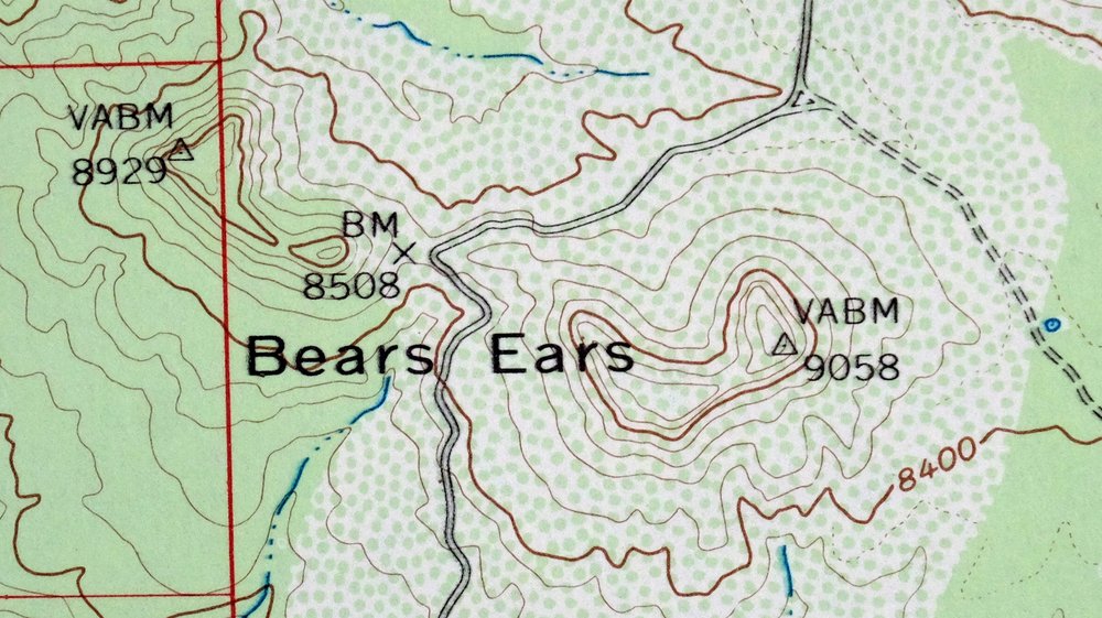
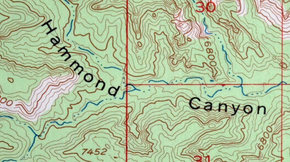
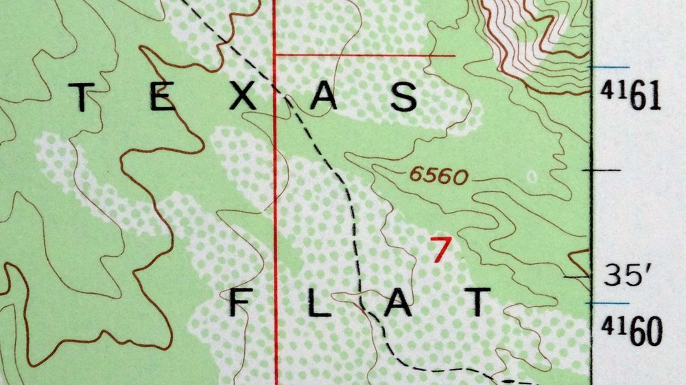
Bears Ears Utah USGS 15 Minute Topographic Map 1974 Vintage
$46
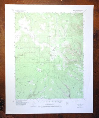
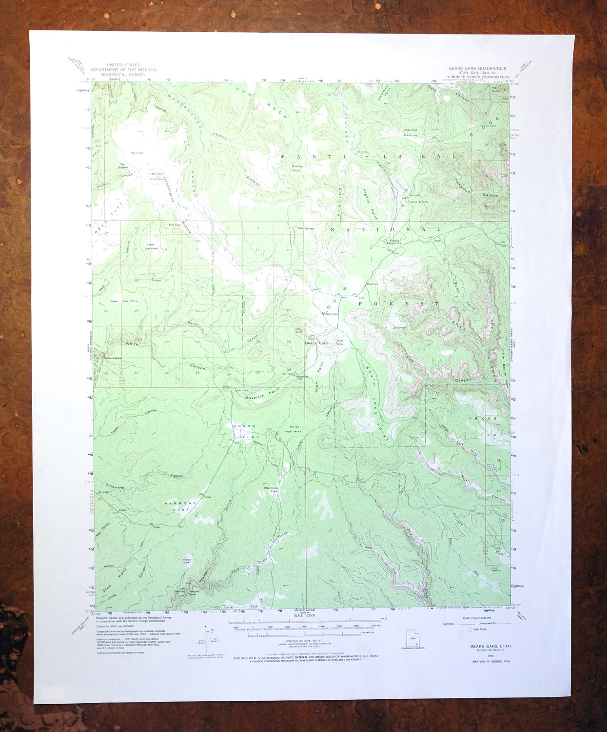
This is a 1954 edition of the Bears Ears quadrangle in southeastern Utah, printed in 1974 at 1:62,500 on thick stock with a green woodland tint marking vegetated areas. The 15-minute sheet covers roughly 14 by 17 miles of San Juan County, about 20 miles west of Blanding, taking in part of the Manti-La Sal National Forest and portions of Natural Bridges National Monument and the Dark Canyon Wilderness. The twin Bears Ears buttes that give the quad its name anchor high, forested country above a maze of slickrock canyons – terrain that later became the center of one of the West’s long-running public-lands debates. Very good, never folded.
In stock
This vintage sheet is a 1954 edition of the Bears Ears Utah USGS topographic map. It is an original 52-year-old 1974 United States Geological Survey print in very good condition.
HOW THIS MAP CAN BE USED
In addition to making a fascinating conversation piece, this sheet would look great in a frame or on display, make a unique and prized gift for anyone interested in this area, be perfect as a reference for genealogy studies or general historical research, or fill that missing piece in your collection. Maps of this vintage are printed on durable stock and are well-suited for outdoor activities and recreation of all kinds, including hiking, backpacking, hunting, rafting and kayaking, backcountry skiing, geocaching, general exploration, treasure hunting, etc.
FEATURES SHOWN ON THE MAP
The Bears Ears 15-minute map shows cities and towns, roads, railroads, utilities and energy infrastructure, rivers, creeks, elevation contour lines, public land survey lines, county, state, and other administrative boundaries as they existed at the time of the survey in 1951 through 1954. All known structures (houses, businesses, churches, schools, barns, cabins, etc) are also shown.
A VALUABLE HISTORICAL RECORD
Maps from the 15-minute series for the continental United States are no longer produced or printed by the USGS and original prints are becoming increasingly difficult to find. They are a valuable historical record for an area, as they contain many placenames and features that have been dropped from more recent maps.
Nearby maps
-
Blanding Utah Montezuma Canyon White Mesa USGS Topo Map 1964
$33 Add to cart -

Hatch Rock La Sal Utah Vintage Original USGS Topo Map 1965
$20 Add to cart -
Fiddler Butte Utah USGS 15-Min Topographic Map 1958 Vintage
$38 Add to cart -
Cajon Mesa Utah Montezuma Creek USGS Topo Map 1965 Vintage
$34 Add to cart -
Agathla Peak Arizona USGS 15-Min Topo Map 1959 Vintage
$47 Add to cart -
The Spur Utah Canyonlands USGS 15-Min Topo Map 1971 Vintage
$38 Add to cart -
Toh Atin Mesa Arizona Red Mesa USGS Topo Map 1967 Vintage
$40 Add to cart -
Yellow Jacket Colorado Lewis USGS Topo Map 1968 Vintage
$32 Add to cart -
Notom Capitol Reef NP Utah USGS 15-Min Topo Map 1958 Vintage
$46 Add to cart -
Cummings Mesa Utah USGS 15-Min Topographic Map 1978 Vintage
$40 Add to cart -

Cummings Mesa Glen Canyon Utah Vintage USGS Topo Map 1964
$78 Add to cart -
Marsh Pass Arizona Kayenta Pinon USGS Topo Map 1922 Antique
$74 Add to cart -

Ship Rock New Mexico Navajo Mitten Rock USGS Topo Map 1968
$33 Add to cart -
The Wickiup Utah Mexican Mountain WSA USGS Topo Map 1967
$20 Add to cart -
La Plata Hesperus Colorado USGS 15-Min Topo Map 1956 Vintage
$60 Add to cart -
La Plata Colorado Mayday Hesperus USGS Topo Map 1897 Antique
$95 Add to cart -
Nipple Butte Utah Wahweap WSA Big Water USGS Topo Map 1962
$36 Add to cart -
1948 Red Mesa Colorado/New Mexico USGS Topo Map
$50 Add to cart -

Lees Ferry Arizona Page Marble Canyon USGS Topo Map 1971
$58 Add to cart -
Durango East Colorado USGS 7.5-Min Topo Map 1965 Vintage
$30 Add to cart -
Echo Cliffs Arizona Tuba City Page USGS 60-Min Topo Map 1913
$48 Add to cart -

Paria Plateau Arizona Vermillion Cliffs USGS Topo Map 1978
$42 Add to cart -
1956 USGS Topo Map: Range Creek, Desolation Canyon, Utah
$48 Add to cart -
Grand Junction Colorado Redlands USGS Topo Map 1964 Vintage
$58 Add to cart