MAP DETAILS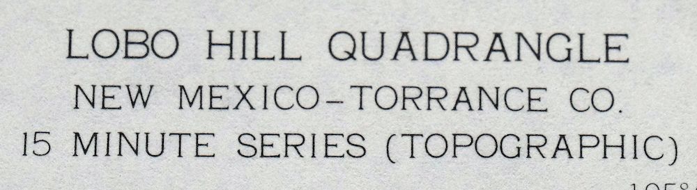 | |
|---|---|
| TITLE | Lobo Hill |
| STATE | New Mexico |
| LOCATION | Vicinity of Estancia, 45 miles east of Albuquerque |
| SERIES | 15-minute |
| SURVEYED | 1958 and 1960 Aerial and Field Survey |
| EDITION | 1960 |
| PRINTED | 1963 |
| SCALE | 1:62500 |
| CONTOUR INTERVAL | 20 feet |
| SHEET DIMENSIONS | 17 x 21 inches (approximate) |
| MAP DIMENSIONS | 14 3/8 x 17 1/2 inches |
| COVERAGE AREA | 14 x 17 miles |
| SHEET CONDITION For maps of this vintage, effort is made to note all visible flaws, no matter how minor. | |
| OVERALL CONDITION | Excellent |
| SHEET NOTES | lightly handled, never folded |
| MAP AREA | flawless map area |
| COLLARS | no wear or tears, no markings, no blemishes, has inventory/library stamp |
| MAP COVERAGE Quadrangle extent overlaid on current basemap. | |
| PLACENAMES Depending on map series and survey date, all of the features listed below may not be shown on this map. This list contains features that currently exist or historically existed within the area covered by the map. The list can be used as a reference to determine if this map covers your area of interest. Placenames are listed alphabetically next to each feature type. | |
| CITIES AND TOWNS (CURRENT) | Estancia |
| COUNTIES COVERED | Torrance |
| WATER BODIES | Laguna del Perro |
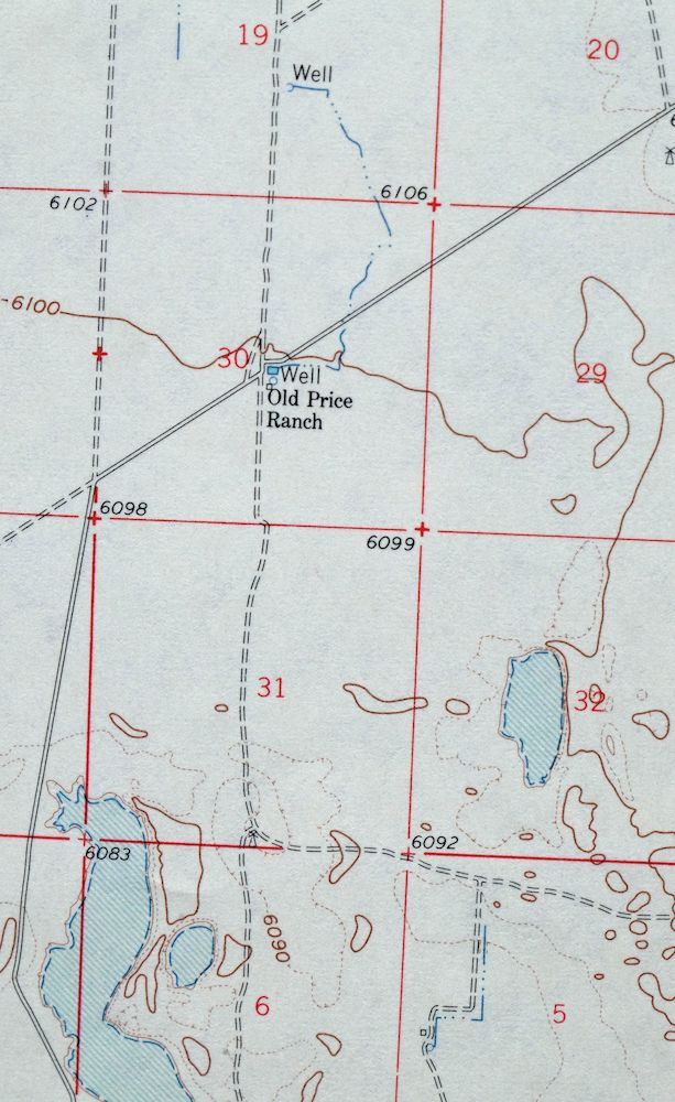
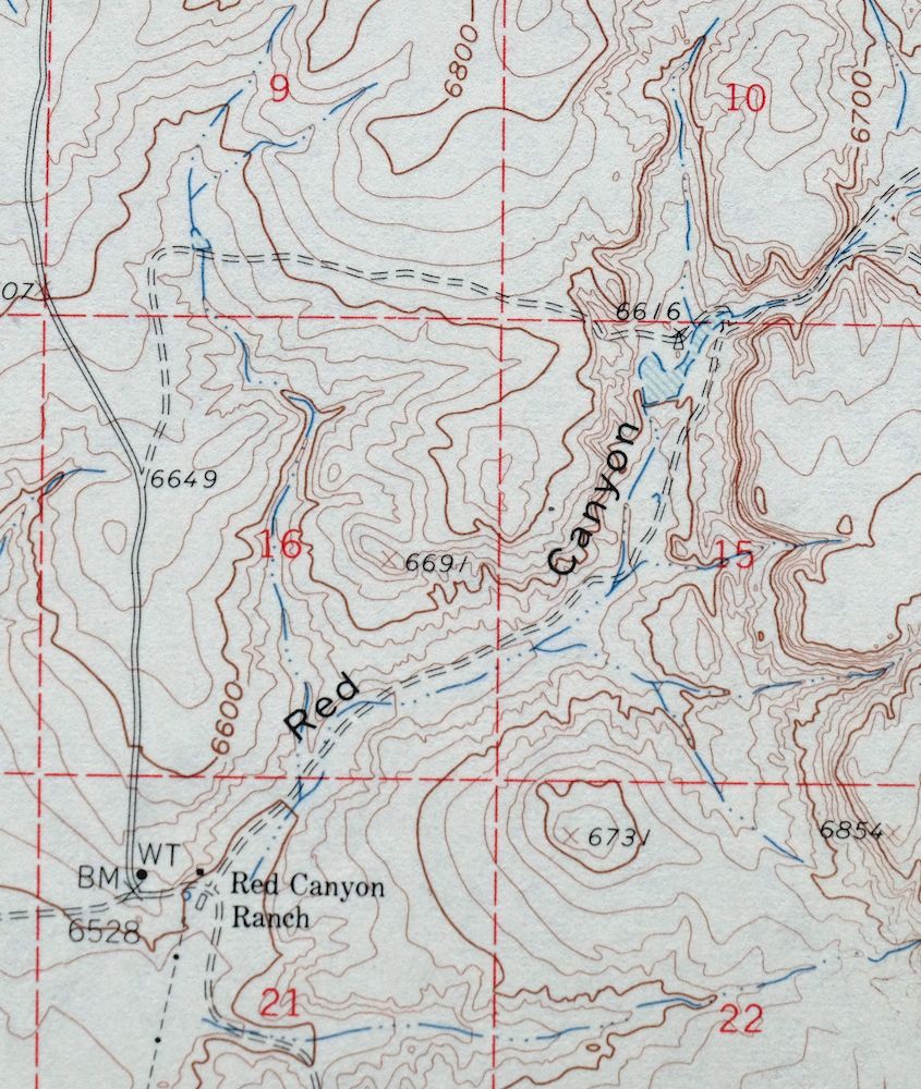
| Locations: Berkshire Ranch, D Williams Ranch, Davis Ranch, Dean Ranch, Gomer Ranch, Green Camp, Kincheloe Homestead, L Williams Ranch, Lamb Homestead, Old Price Ranch, Piedroso Windmill, Price Ranch, Ranch Huntley, Red Canyon Ranch, Sorule Homestead, Sprule Windmill, and Well Old Price Ranch. Mountains, Peaks, and Summits: Lobo Hill. Valleys and Canyons: Big Draw, Chavez Draw, McGillivray Draw, Canada de l Puerta, Rattlesnake Draw, Red Canyon, Red Canyon Draw, and Salt Draw. Reservoirs and Tanks: West Douglas Tanks. Wells: Allan Well, Angus Well, Antelope Well, 10213 Water Well, 10214 Water Well, Buck Well, Childress Well, Cottonwood Well, East Keen Well, Mattock Well, Middle Well, New Well, Olympia Well, West Douglas Well, West Keen Well, and West Well. Springs: Cieneguita Spring. | |
| SHIPPING AND RETURNS | |
 This map sheet will be carefully rolled in a sturdy tube and shipped via the US Postal Service. If you find that the sheet you receive is not as described in the listing, you may ship it back to us for a refund of the purchase price. | |
Lobo Hill New Mexico Estancia USGS Topo Map 1963 Vintage
$14
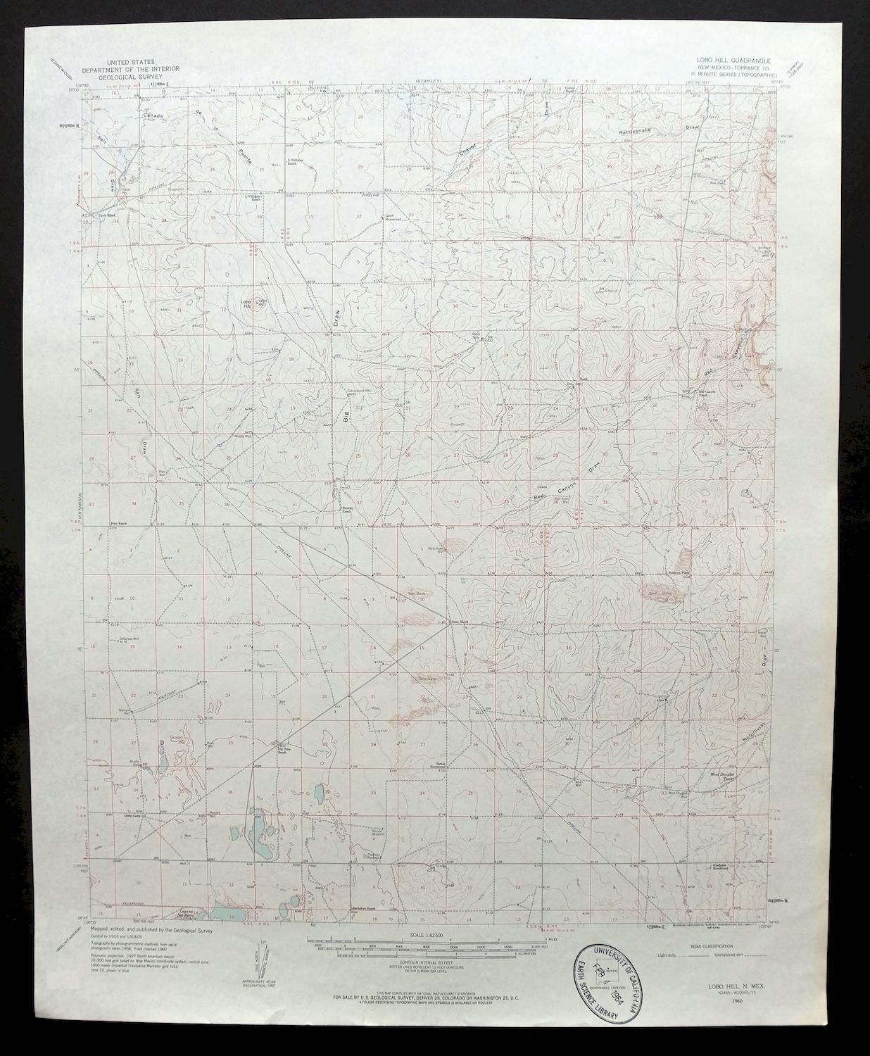
This USGS 15-minute topographic map is a 1960 edition printed in 1963, and the never-folded sheet is in excellent condition with a flawless map area. Drawn from a 1958 and 1960 aerial and field survey at 1:62,500, it takes in country around Estancia in Torrance County, roughly 45 miles east of Albuquerque. The Estancia Valley was long known for its dry-farmed pinto beans, and this sheet records the ranching and farming grid of the high plains east of the Manzano Mountains as it stood at mid-century. The sheet carries an inventory/library stamp in the collar and, having never been folded, would sit well under glass.
In stock
This vintage sheet is a 1960 edition of the Lobo Hill New Mexico USGS topographic map. It is an original 63-year-old 1963 United States Geological Survey print in excellent condition.
HOW THIS MAP CAN BE USED
In addition to making a fascinating conversation piece, this sheet would look great in a frame or on display, make a unique and prized gift for anyone interested in this area, be perfect as a reference for genealogy studies or general historical research, or fill that missing piece in your collection. Maps of this vintage are printed on durable stock and are well-suited for outdoor activities and recreation of all kinds, including hiking, backpacking, hunting, rafting and kayaking, backcountry skiing, geocaching, general exploration, treasure hunting, etc.
FEATURES SHOWN ON THE MAP
The Lobo Hill 15-minute map shows cities and towns, roads, railroads, utilities and energy infrastructure, rivers, creeks, elevation contour lines, public land survey lines, county, state, and other administrative boundaries as they existed at the time of the survey in 1958 and 1960. A reddish tint may be used on this sheet to indicate urban areas where only landmark buildings will be shown. Outside of those areas, all known structures (houses, businesses churches, schools, barns, cabins, etc) are shown.
A VALUABLE HISTORICAL RECORD
Maps from the 15-minute series for the continental United States are no longer produced or printed by the USGS and original prints are becoming increasingly difficult to find. They are a valuable historical record for an area, as they contain many placenames and features that have been dropped from more recent maps.
Nearby maps
-

Stanley New Mexico USGS 15-Min Topographic Map 1963 Vintage
$14 Add to cart -
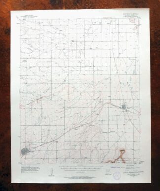
Mountainair New Mexico Estancia Willard USGS Topo Map 1958
$32 Add to cart -
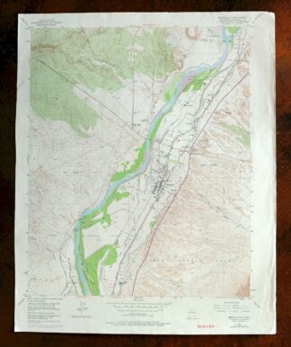
1975 USGS Topo Map: Bernalillo, Cibola NF, New Mexico
$23 Add to cart -
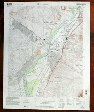
2007 USGS Topo Map: Bernalillo, Cibola NF, New Mexico
$19 Add to cart -
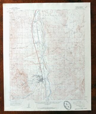
1962 USGS Topo Map: Socorro, Sevilleta NWR, New Mexico
$46 Add to cart -
Carrizozo New Mexico Lincoln NF USGS Topo Map 1954 Vintage
$42 Add to cart -

Horseshoe Bend New Mexico USGS 15-Min Topo Map 1964 Vintage
$22 Add to cart -
Koehler New Mexico Maxwell NWR Maxwell USGS Topo Map 1937
$46 Add to cart -
Brazos Peak New Mexico USGS 15-Min Topo Map 1971 Vintage
$39 Add to cart -
Chama New Mexico Brazos Tierra Amarilla USGS Topo Map 1973
$39 Add to cart -
Brilliant New Mexico USGS 15-Min Topo Map 1915 Antique
$47 Add to cart -
Clovis New Mexico Texico Farwell USGS Topo Map 1958 Vintage
$18 Add to cart -
Arch New Mexico Grulla NWR USGS 15-Min Topo Map 1958 Vintage
$22 Add to cart -
1962 USGS Topo Map: Aztec, Cedar Hill, New Mexico
$40 Add to cart -
Buell Park Arizona Fort Defiance Navajo USGS Topo Map 1967
$45 Add to cart -
1948 Red Mesa Colorado/New Mexico USGS Topo Map
$42 Add to cart -
Mogollon New Mexico Pleasanton Mule Creek USGS Topo Map 1964
$49 Add to cart -
Durango East Colorado USGS 7.5-Min Topo Map 1965 Vintage
$30 Add to cart -

Mesa De Maya Colorado Branson Villegreen USGS Topo Map 1901
$49 Add to cart -
Aden New Mexico USGS 15-Min Topographic Map 1943 Vintage
$30 Add to cart -
Blue Arizona Apache NF USGS 15-Min Topo Map 1963 Vintage
$47 Add to cart -
North Franklin Mountain Texas Fort Bliss USGS Topo Map 1959
$27 Add to cart -
1959 North Franklin Mountain Texas USGS Army COE Topo Map
$43 Add to cart -

Ship Rock New Mexico Navajo Mitten Rock USGS Topo Map 1968
$33 Add to cart
