| MAP DETAILS | |
|---|---|
| TITLE | Saint Albans |
| STATE | West Virginia |
| LOCATION | 15 miles west of Charleston |
| SERIES | 15-minute |
| SURVEYED | 1907 Field Survey |
| GEOGRAPHER | Frank Sutton |
| ENGRAVED | 1909 |
| EDITION | 1909 |
| PRINTED | 1909 |
| SCALE | 1:62500 |
| CONTOUR INTERVAL | 50 feet |
| SHEET DIMENSIONS | 16 1/2 x 20 inches |
| MAP DIMENSIONS | 13 3/4 x 17 1/2 inches |
| COVERAGE AREA | 14 x 17 miles |
| SHEET CONDITION For maps of this vintage, effort is made to note all visible flaws, no matter how minor. | |
| OVERALL CONDITION | Very Good |
| SHEET NOTES | lightly handled, never folded, attractively age-toned paper, light diagonal crease in lower right sheet corner |
| MAP AREA | no markings, no blemishes |
| COLLARS | minor blemishes, pencilled notation in upper right collar corner, small inventory stamp in bottom right collar, no edge tears |
| MAP COVERAGE Quadrangle extent overlaid on current basemap. | |
| BACKSIDE LEGEND | |
 A map summary is printed on the back side of the Saint Albans sheet similar to the one shown in the picture. It outlines the history, purpose, and status of the USGS mapping program at the time of the printing in 1909. It also provides instructions on how to read contour lines and a description of how they are used to depict the terrain. At the bottom of the page is a legend showing all of the symbols used to represent the cultural, relief, and water features found on the map. | |
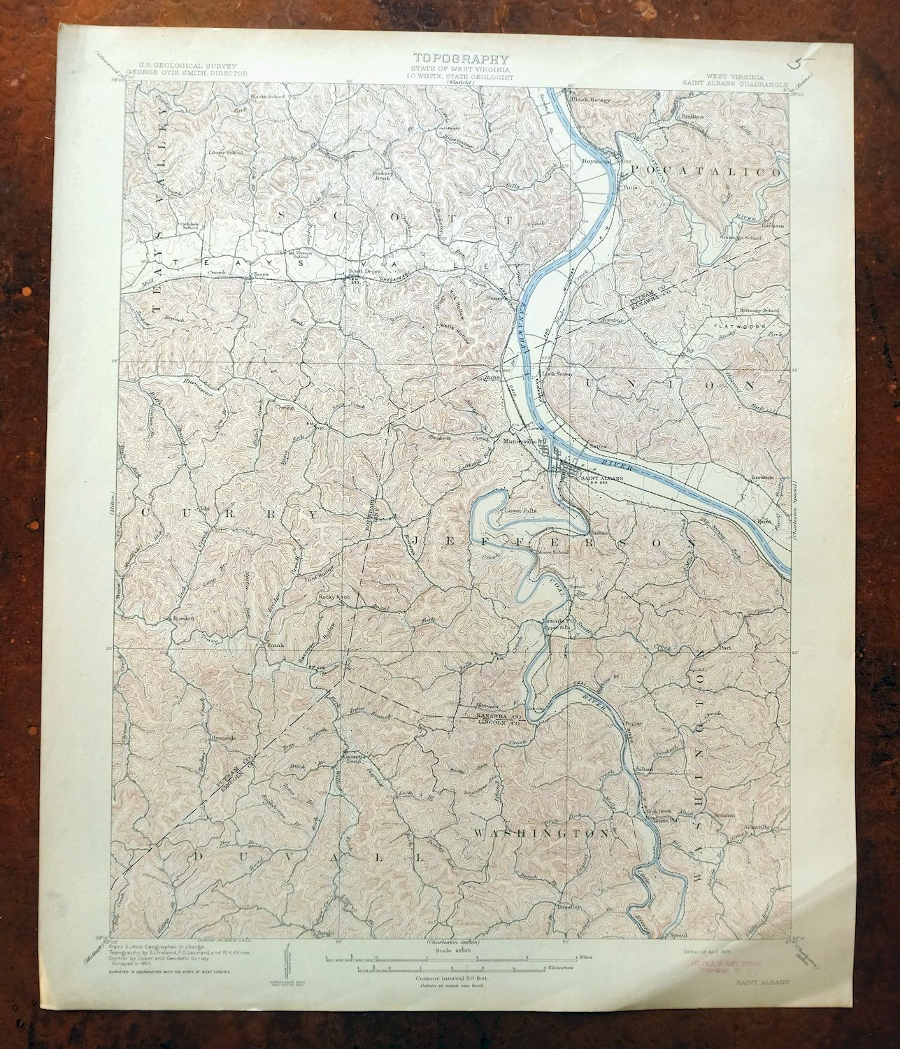
Saint Albans West Virginia Dunbar USGS Topographic Map 1909
$48
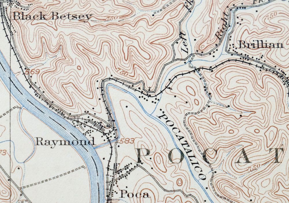
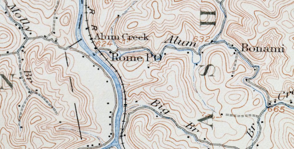
Printed in its year of first publication, 1909, this antique USGS topographic sheet is in very good condition, on thick stock, never folded with attractively age-toned paper and a light diagonal crease in the lower right corner. Engraved in 1909 under geographer Frank Sutton from a 1907 field survey, it takes in the country west of Charleston along the Kanawha River, with the quad area including St. Albans, South Charleston, Dunbar, Nitro, Teays Valley, and Scott Depot across Kanawha, Lincoln, and Putnam counties. Made before the modern highway and interstate system, it shows the historic travel routes, rail lines, and placenames of the valley as they stood over a century ago, and the reverse carries printed reference material on reading the map.
In stock
This antique sheet is a 1909 edition of the Saint Albans West Virginia USGS topographic map. It is an authentic 117-year-old United States Geological Survey print in very good condition.
HOW THIS MAP CAN BE USED
In addition to making a fascinating conversation piece, this sheet would look great in a frame or on display, make a unique and prized gift for anyone interested in this area, be perfect as a reference for genealogy studies or general historical research, or fill that missing piece in your collection.
FEATURES SHOWN ON THE MAP
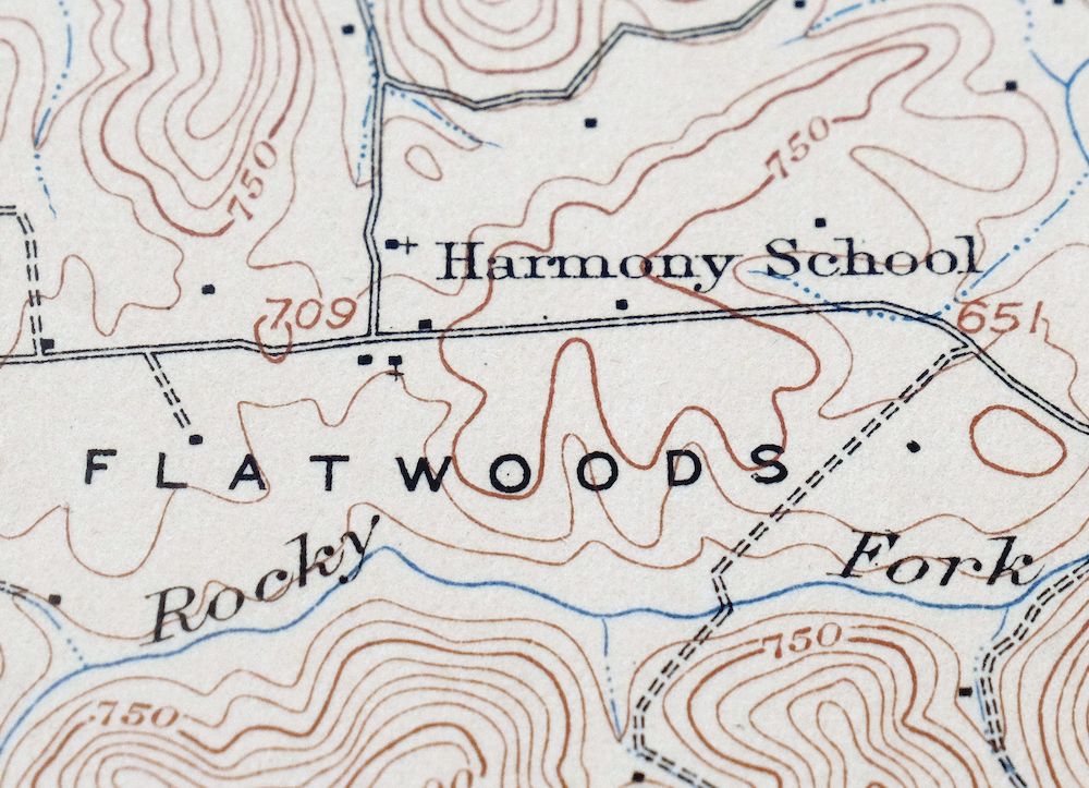
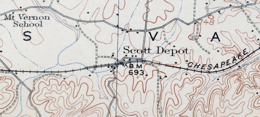
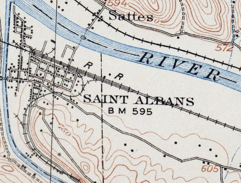
The Saint Albans 15-minute map shows cities and towns, roads, railroads, rivers, creeks, elevation contour lines, public land survey lines, county, state, and other administrative boundaries as they existed at the time of the survey in 1907. All known structures (houses, businesses, churches, schools, barns, cabins, etc) are also shown, with exceptions in some urban areas, where only landmark buildings may be shown.
A VALUABLE HISTORICAL RECORD
Maps from the 15-minute series for the continental United States are no longer produced or printed by the USGS and original prints are becoming increasingly difficult to find. They are a valuable historical record for an area, as they contain many placenames and features that have been dropped from more recent maps.
PLACENAMES
The following places are found within the boundary of this quadrangle. They may or may not be shown or labeled, depending on the map series and vintage.
* Cities and Towns-> Alum Creek, Cross Lanes, Dunbar, Hurricane, Jefferson, Nitro, Poca, Saint Albans, Scott DepotSouth Charleston, and others
* Counties Covered-> Kanawha, Lincoln, and Putnam
* Rivers and Streams-> Adkins Fork, Alum Creek, Angel Fork, Beech Branch, Big Coal River, Big Creek, Big Spring Fork, Blakes Creek, Bowman ForkBridge Creek, and others
* Water Bodies-> Dickinson Lake, I-64 Lake, Lake Chaweva, Teays Valley Lakes, and Lake Washington
Nearby maps
-

Charleston West Virginia Cross Lanes Rand USGS Topo Map 1914
$68 Add to cart -

Winfield West Virginia Bancroft Southside USGS Topo Map 1908
$48 Add to cart -

Peytona West Virginia Marmet Belle USGS Topographic Map 1911
$49 Add to cart -

Wayne West Virginia Dunlow Cove Gap USGS Topo Map 1909
$54 Add to cart -

Ravenswood West Virginia New Haven Evans USGS Topo Map 1908
$48 Add to cart -

Point Pleasant West Virginia Middleport USGS Topo Map 1908
$25 Add to cart -

Bald Knob West Virginia Mallory USGS Topo Map 1923 Antique
$62 Add to cart -

Pomeroy Ohio Middleport Mason USGS Topo Map 1907 Antique
$46 Add to cart -

Charleston West West Virginia Dunbar USGS Topo Map 1978
$34 Add to cart -

Pocatalico West Virginia Dunbar USGS Topographic Map 1977
$30 Add to cart -

Oceana West Virginia Logan Gilbert USGS Topographic Map 1912
$105 Add to cart -

Warfield West Virginia Pikeville Harts USGS Topo Map 1911
$106 Add to cart -

Kenova Kentucky Louisa Grayson USGS Topo Map 1912 Antique
$90 Add to cart -

Raleigh West Virginia Beckley Oak Hill USGS Topo Map 1901
$135 Add to cart -

Nicholas West Virginia Summersville Cowen USGS Topo Map 1912
$100 Add to cart -

Sutton West Virginia Glenville Elk River USGS Topo Map 1907
$110 Add to cart -

Garrison Kentucky Portsmouth York USGS Topo Map 1918 Antique
$46 Add to cart -

Parkersburg Ohio Marietta Vienna USGS Topo Map 1912 Antique
$72 Add to cart -

Marietta Ohio Wayne NF Devola USGS Topo Map 1912 Antique
$66 Add to cart -

Saint Marys West Virginia Ellenboro Pike USGS Topo Map 1916
$50 Add to cart -

Salyersville Kentucky West Liberty Zag USGS Topo Map 1918
$47 Add to cart -

Whitesburg Kentucky Pikeville Cumberland USGS Topo Map 1910
$109 Add to cart -
Seaman Ohio West Union West Union USGS Topo Map 1918 Antique
$62 Add to cart -

Era Ohio South Bloomfield Williamsport USGS Topo Map 1913
$52 Add to cart
