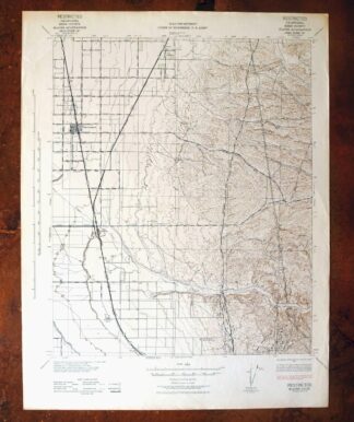
MAP DETAILS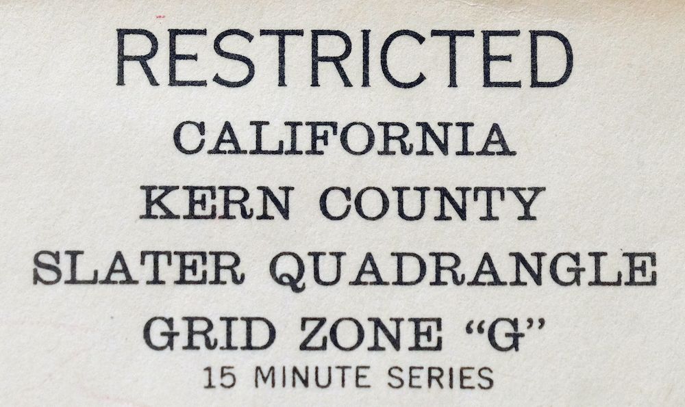 | |
|---|---|
| TITLE | Slater |
| STATE | California |
| LOCATION | Vicinity of Delano, 20 miles north of Bakersfield |
| SERIES | 15-minute |
| SURVEYED | 1937 and 1942 Aerial and Field Survey |
| EDITION | 1942 |
| PRINTED | 1942 |
| PRINT NOTES | Thick paper stock, includes woodland tint (green to indicate vegetated areas) |
| SCALE | 1:62500 |
| CONTOUR INTERVAL | 25 feet |
| SHEET DIMENSIONS | 16 7/8 x 21 3/4 inches |
| MAP DIMENSIONS | 14 1/4 x 17 1/2 inches |
| COVERAGE AREA | 14 x 17 miles |
| SHEET CONDITION For maps of this vintage, effort is made to note all visible flaws, no matter how minor. | |
| OVERALL CONDITION | Very Good |
| SHEET NOTES | lightly handled, never folded, crease in upper left corner of sheet, lightly age-toned paper |
| MAP AREA | no markings, no blemishes |
| COLLARS | very minor markings, no blemishes, no edge tears |
| MAP COVERAGE Quadrangle extent overlaid on current basemap. | |
| PLACENAMES Depending on map series and survey date, all of the features listed below may not be shown on this map. This list contains features that currently exist or historically existed within the area covered by the map. The list can be used as a reference to determine if this map covers your area of interest. Placenames are listed alphabetically next to each feature type. | |
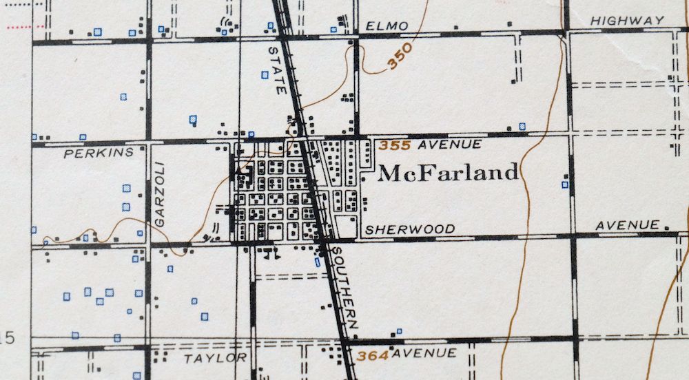
| NOTABLE PLACES | McFarland, Jasmin, and Vinland |
| CITIES AND TOWNS (CURRENT) | Delano and Shafter |
| COUNTIES COVERED | Kern |
| RIVERS AND STREAMS | Dyer Creek, Five Dog Creek, Little Creek, and Poso Creek |
| WATER BODIES | Lake Woollomes |
| Locations: Deepwell Ranch, Doyle Ranch, Hodgeman Ranch, Kern County Industrial Farm, Kimberlina Ranch, Raymond-Souche Ranch, and Villard Ranch. Mountains, Peaks, and Summits: Mount Poso. Parks: Browning Road Park and McFarland Park. Drainages: Dyer Creek and Little Creek. Churches: First Missionary Baptist Church. Buildings: Jackson Branch Kern County Library and McFarland City Hall. Dams: Big Four Ranch 737 Dam. Canals: Calloway Canal and Lerdo Canal. Airports: Delano Municipal Airport, Poso-Kern County Airport, and Shafter - Minter Field. Schools: Browning Road Elementary School, Jasmin School, Kern Avenue Elementary School, McFarland High School, McFarland Middle School, and San Joaquin High School. Reservoirs and Tanks: Lake Woollomes. Towers: KKXX-FM (Delano). Oilfields: McVan Oil Field and Premier Oil Field. | |
| SHIPPING AND RETURNS | |
 This map sheet will be carefully rolled in a sturdy tube and shipped via the US Postal Service. If you find that the sheet you receive is not as described in the listing, you may ship it back to us for a refund of the purchase price. | |
Slater California Delano Shafter USGS Topo Map 1942 Antique
$38
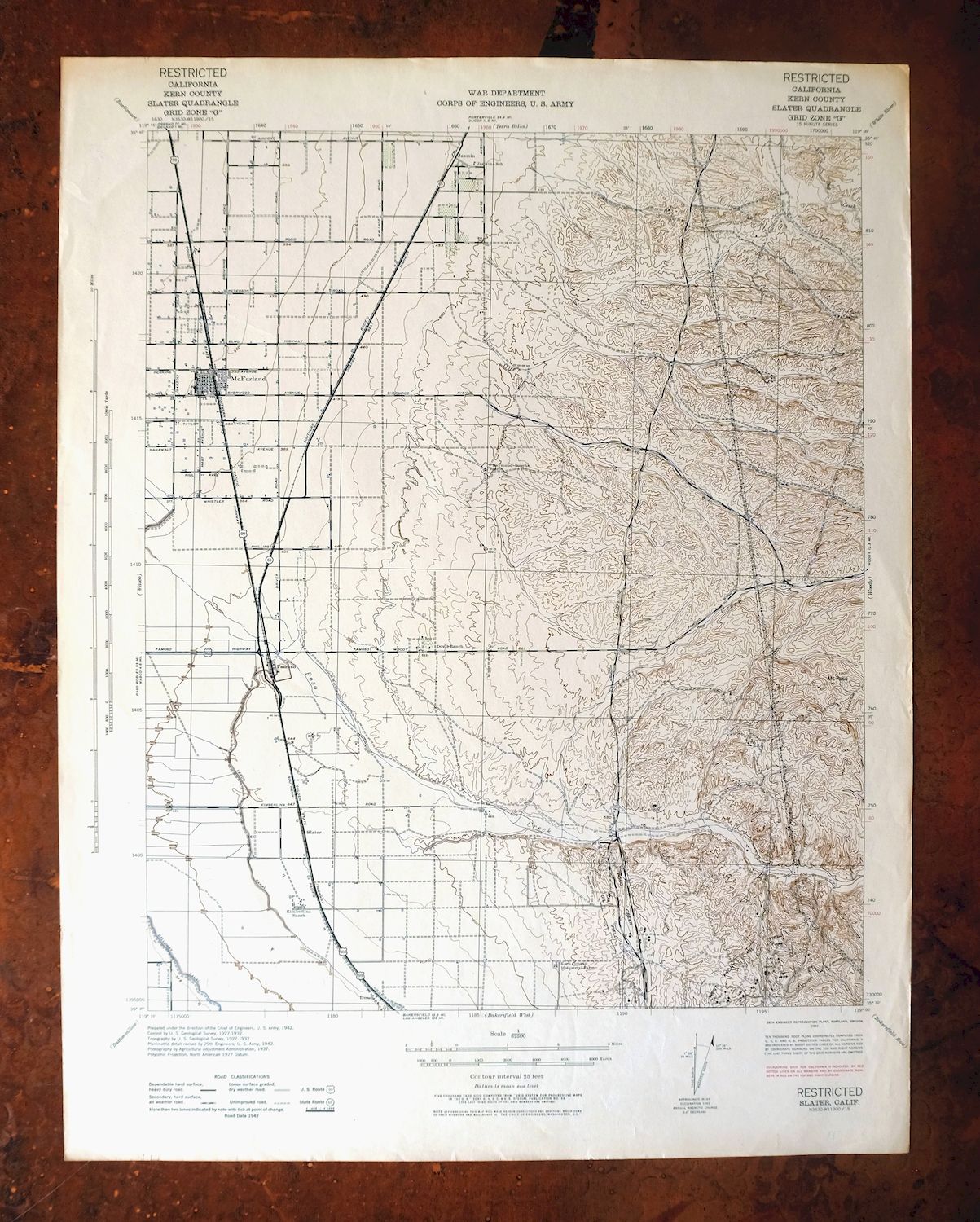
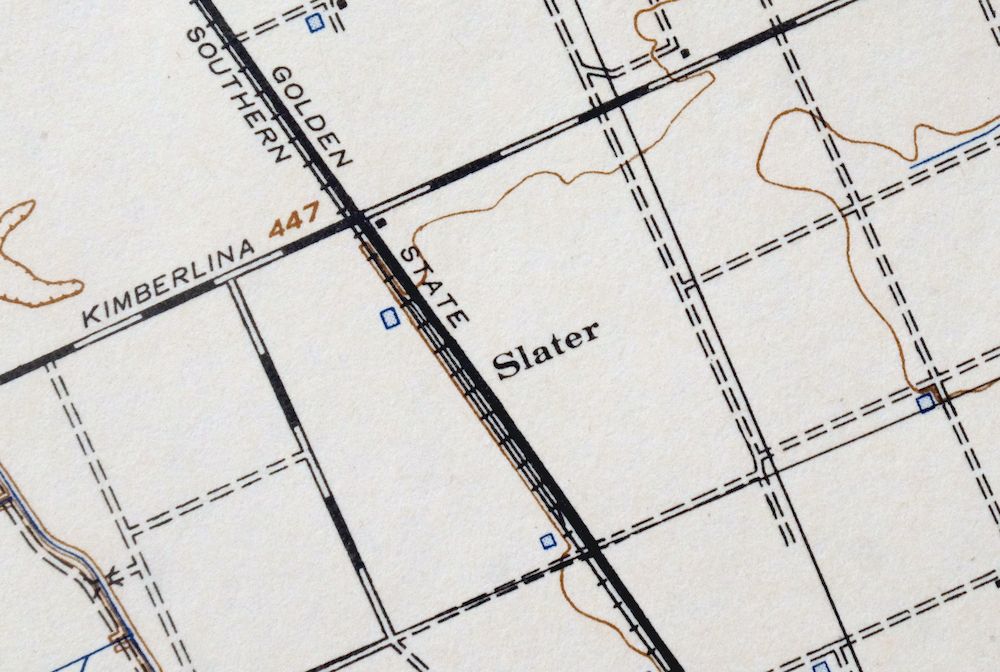
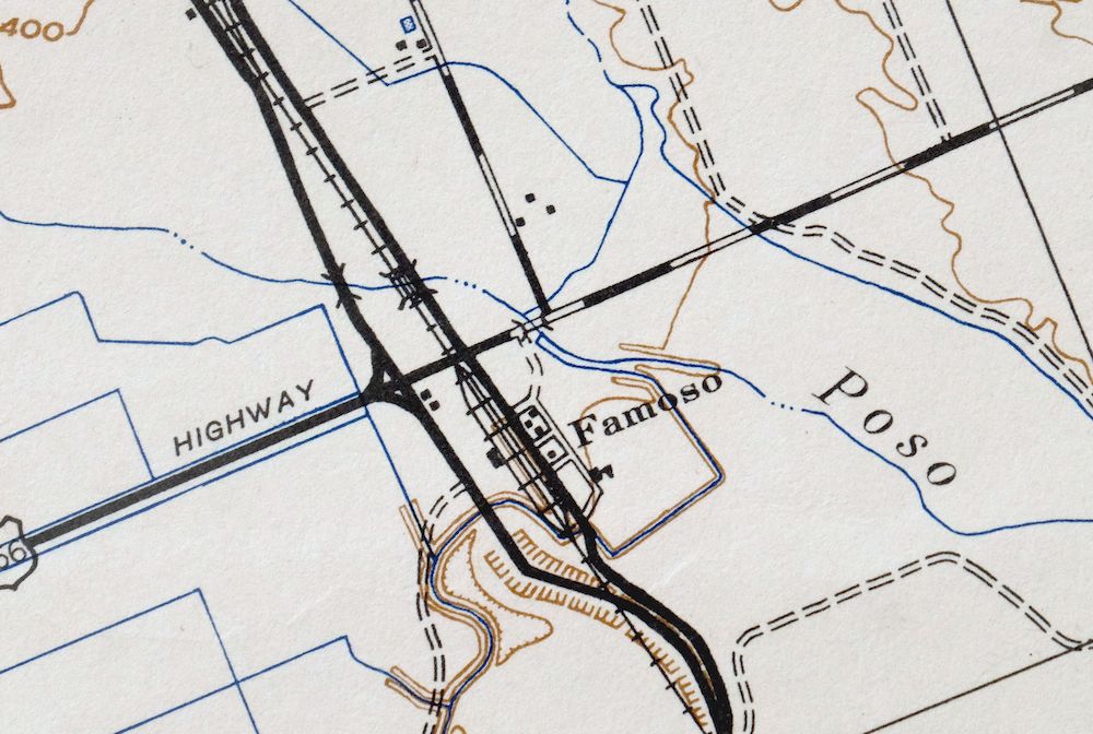
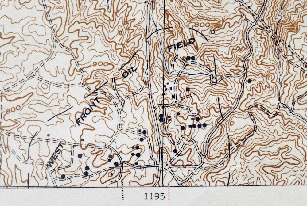
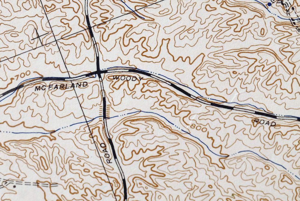
Printed in its year of first publication, 1942, this Army Corps of Engineers 15-minute topographic sheet is in very good condition, on thick stock and never folded, with a light crease in the upper left corner and lightly age-toned paper. The quad sits in California’s southern San Joaquin Valley in Kern County, about 20 miles north of Bakersfield, with Delano, McFarland, and Shafter falling within its boundaries. Built from 1937 and 1942 aerial and field survey work, the sheet records the flat farm country of the valley floor at 25-foot contours, a fine grain of detail across land that rises very little across the whole quad.
In stock
This antique sheet is a 1942 edition of the Slater California USACE topographic map. It is an authentic 84-year-old US Army Corp of Engineers print in very good condition.
HOW THIS MAP CAN BE USED
In addition to making a fascinating conversation piece, this sheet would look great in a frame or on display, make a unique and prized gift for anyone interested in this area, be perfect as a reference for genealogy studies or general historical research, or fill that missing piece in your collection.
FEATURES SHOWN ON THE MAP
The Slater 15-minute map shows cities and towns, roads, railroads, rivers, creeks, elevation contour lines, public land survey lines, county, state, and other administrative boundaries as they existed at the time of the survey in 1937 and 1942. All known structures (houses, businesses, churches, schools, barns, cabins, etc) are also shown.
A VALUABLE HISTORICAL RECORD
Maps from the 15-minute series for the continental United States are no longer produced or printed by the USACE and original prints are becoming increasingly difficult to find. They are a valuable historical record for an area, as they contain many placenames and features that have been dropped from more recent maps.
Nearby maps
-
California Hot Springs California USGS Topo Map 1974 Vintage
$46 Add to cart -
Camp Nelson California USGS 15-Min Topo Map 1977 Vintage
$40 Add to cart -
Simmler California USGS 15-Min Topographic Map 1943 Vintage
$32 Add to cart -

Emerald Mountain California USGS 15-Min Topographic Map 1943
$37 Add to cart -
Neenach California USGS 15 Minute Topo Map 1962 Vintage
$37 Add to cart -
Richgrove California USGS 7.5-Min Topo Map 1942 Antique
$37 Add to cart -

Rosedale California Prospero Chrome USGS Topo Map 1941
$42 Add to cart -

Quincy School California White River USGS Topo Map 1929
$30 Add to cart -
Oil Center California Bakersfield USGS Topo Map 1970 Vintage
$40 Add to cart -

Sausalito School California USGS Topo Map 1929 Antique
$25 Add to cart -
Gosford California Bakersfield USGS Topo Map 1941 Antique
$43 Add to cart -
Gosford California Bakersfield USGS Topo Map 1970 Vintage
$30 Add to cart -
Stevens California Bakersfield Rosedale USGS Topo Map 1940
$38 Add to cart -
Fairfax School California Lamont USGS Topographic Map 1939
$44 Add to cart -

Reynolds Ranch California Lost Hills USGS Topo Map 1940
$23 Add to cart -
1914 Lost Hills California USGS Topo Map: Kern NWR
$38 Add to cart -

El Rico Ranch California Helm Corner USGS Topo Map 1936
$24 Add to cart -

Shale Point California Temblor Range USGS Topo Map 1943
$22 Add to cart -
Exeter California Visalia Ivanhoe USGS Topographic Map 1944
$37 Add to cart -

Santiago Creek California USGS 7.5-Min Topo Map 1945 Vintage
$23 Add to cart -

Remnoy California Hamblin Hanford USGS Topo Map 1927 Antique
$30 Add to cart -
Ivanhoe California Woodlake USGS Topo Map 1946 Vintage
$34 Add to cart -
Kettleman Plain California Avenal USGS Topo Map 1933 Antique
$20 Add to cart -
Reef Ridge California Avenal USGS Topo Map 1937 Antique
$16 Add to cart