| MAP DETAILS | |
|---|---|
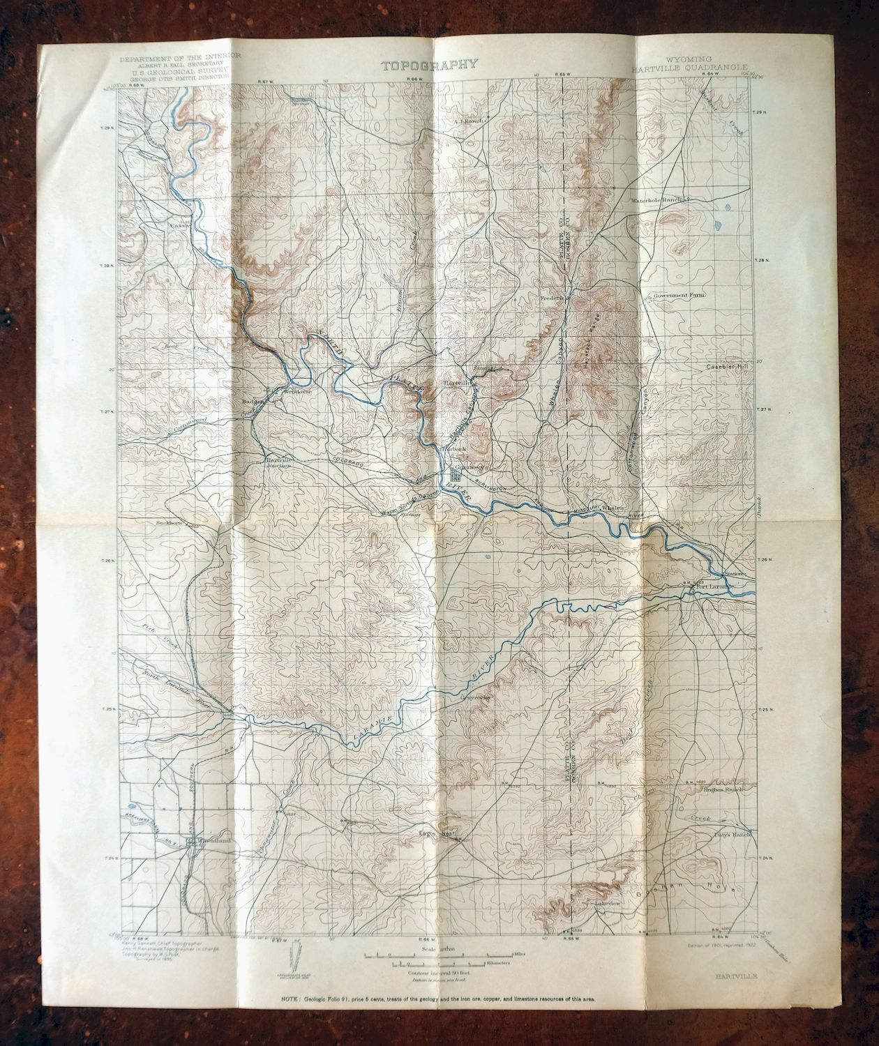
| TITLE | Hartville |
| STATE | Wyoming |
| LOCATION | Vicinity of Wheatland, 75 miles north of Cheyenne, WY |
| SERIES | 30-minute |
| SURVEYED | 1895 Field Survey |
| GEOGRAPHER | Henry Gannett |
| ENGRAVED | 1897 |
| EDITION | 1901 |
| PRINTED | 1922 |
| SCALE | 1:125000 |
| CONTOUR INTERVAL | 50 feet |
| SHEET DIMENSIONS | 16 1/2 x 20 inches |
| MAP DIMENSIONS | 13 x 17 1/2 inches |
| COVERAGE AREA | 26 x 35 miles |
| SHEET CONDITION For maps of this vintage, effort is made to note all visible flaws, no matter how minor. | |
| OVERALL CONDITION | Good |
| SHEET NOTES | moderately handled, has foldlines, some age discoloration along foldlines |
| MAP AREA | minor wear, no markings |
| COLLARS | minor wear or tears, no markings, minor blemishes, light crease in upper left collar corner |
| MAP COVERAGE Quadrangle extent overlaid on current basemap. | |
| BACKSIDE LEGEND | |
 A map summary is printed on the back side of the Hartville sheet similar to the one shown in the picture. It outlines the history, purpose, and status of the USGS mapping program at the time of the printing in 1922. It also provides instructions on how to read contour lines and a description of how they are used to depict the terrain. At the bottom of the page is a legend showing all of the symbols used to represent the cultural, relief, and water features found on the map. | |
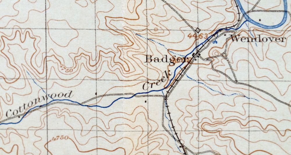
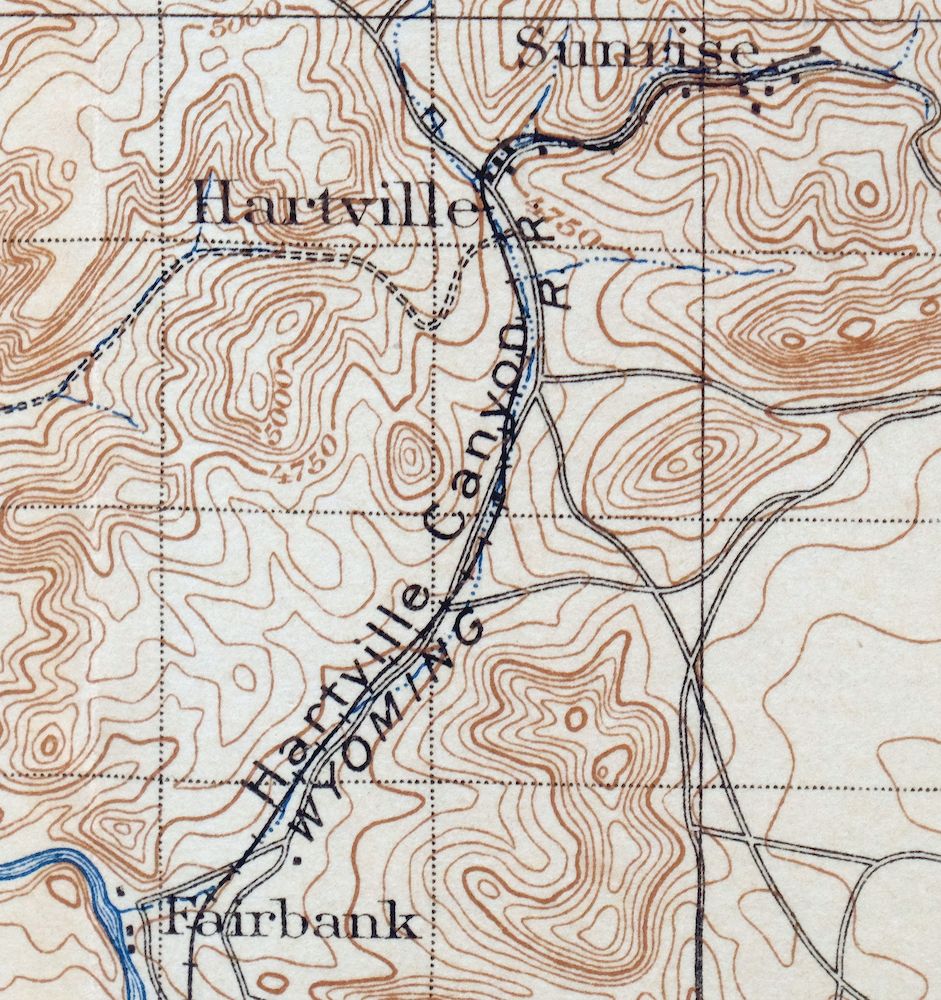
Hartville Wyoming Wheatland Guernsey USGS Topo Map 1922
$49
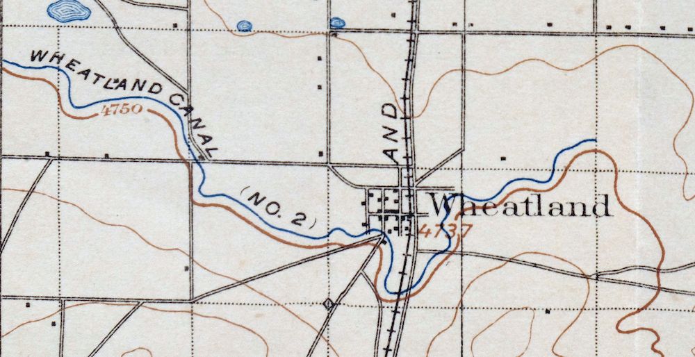
This USGS 30-minute topographic sheet is a 1901 edition, printed in 1922, and survives in good condition on thick stock with foldlines and some age discoloration along them. The quad area sits in southeastern Wyoming north of Cheyenne, taking in Wheatland and Guernsey along with the community of Hartville that gives the sheet its name, and includes portions of Guernsey and Glendo reservoirs. Surveyed in 1895 under geographer Henry Gannett and engraved in 1897, it records the overland routes, rail lines, and older placenames like Lakeview, Uva, and Cassa that predate the modern highway system. The reverse carries printed reference material on reading the map’s contours and symbols.
In stock
This antique sheet is a 1901 edition of the Hartville Wyoming USGS topographic map. It is an authentic 104-year-old 1922 United States Geological Survey print in good condition.
HOW THIS MAP CAN BE USED
In addition to making a fascinating conversation piece, this sheet would look great in a frame or on display, make a unique and prized gift for anyone interested in this area, be perfect as a reference for genealogy studies or general historical research, or fill that missing piece in your collection.
FEATURES SHOWN ON THE MAP
The Hartville 30-minute map shows cities and towns, roads, railroads, rivers, creeks, elevation contour lines, public land survey lines, county, state, and other administrative boundaries as they existed at the time of the survey in 1895.
A VALUABLE HISTORICAL RECORD
Maps from the USGS 30-minute series have been out of print for many years. They have never been common and original prints are increasingly difficult to find. For areas where the 30-minute map was produced, it is usually the first large-scale survey done by the USGS for that area. These are a valuable historical record, as they contain many placenames and features that have been dropped from more recent series’ and editions.
PLACENAMES
The following places are found within the boundary of this quadrangle. They may or may not be shown or labeled, depending on the map series and vintage.
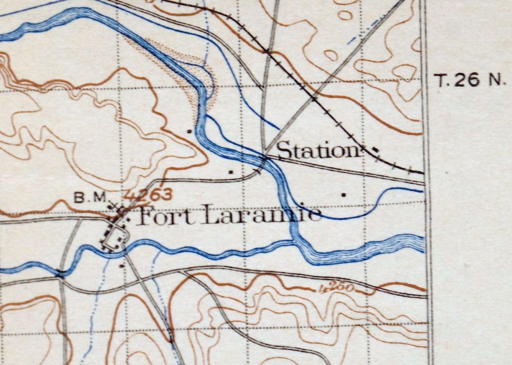
* Cities and Towns-> Cassa, Chugcreek, Fort Laramie, Guernsey, Hartville, Lakeview North, Sunrise, Wheatland, and Y-O Ranch
* Counties Covered-> Goshen and Platte
* Federal Land Units-> Fort Laramie National Historic Site, Glendo Reservoir, and Guernsey Reservoir
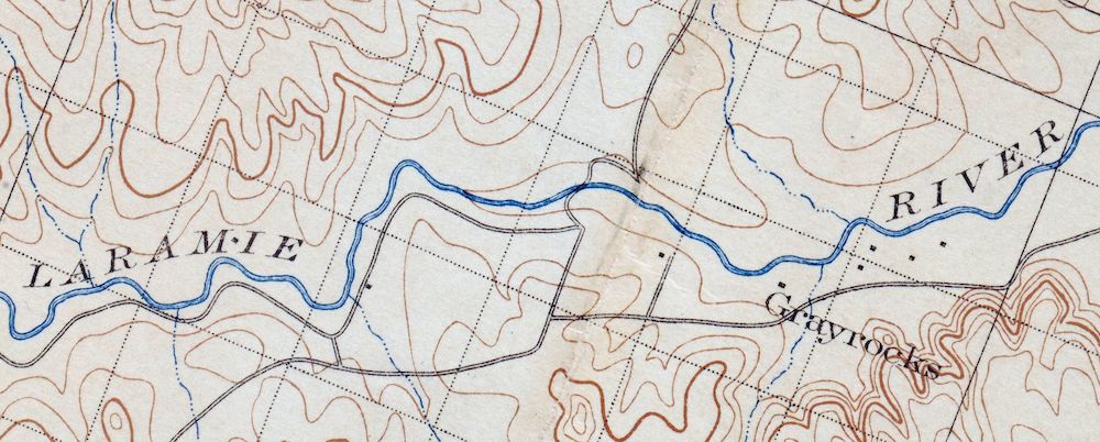
* Rivers and Streams-> Boxelder Creek, Broom Creek, Chugwater Creek, Cottonwood Creek, Deer Creek, Fish Creek, Horseshoe Creek, Laramie River, Little Cottonwood CreekLittle Deer Creek, and others
* Water Bodies-> Festo Lake, Glendo Reservoir, Guernsey Reservoir, Hooley Reservoir, Jones Lake, Long Gulch Reservoir, Lowica Reservoir, Reservoir Number 3, and Twiford Reservoir
Nearby maps
-

Goshen Hole Wyoming Lyman Henry USGS Topographic Map 1916
$67 Add to cart -

Eaton Colorado Fort Collins Ault USGS Topographic Map 1957
$48 Add to cart -
Kings Canyon Colorado North Sand Hills USGS Topo Map 1969
$34 Add to cart -

Estes Park Colorado USGS 7.5-Min Topo Map 1961 Vintage
$31 Add to cart -
Trail Ridge Colorado USGS 7.5-Min Topo Map 1962 Vintage
$35 Add to cart -

Pearl Colorado USGS 15-Min Topographic Map 1969 Vintage
$46 Add to cart -
Lyons Colorado USGS 7.5-Min Topographic Map 1961 Vintage
$42 Add to cart -

Eastlake Colorado Westminster Thornton USGS Topo Map 1944
$85 Add to cart -
Eastlake Colorado Westminster Thornton USGS Topo Map 1967
$39 Add to cart -

Lafayette Colorado Westminster Thornton USGS Topo Map 1967
$38 Add to cart -
Eldorado Springs Colorado Arvada Boulder USGS Topo Map 1961
$38 Add to cart -
Hot Sulphur Springs Colorado Parshall USGS Topo Map 1963
$40 Add to cart -
Nederland Colorado Eldora Rollinsville USGS Topo Map 1964
$35 Add to cart -
Pilot Knob Colorado Routt NF USGS Topo Map 1963 Vintage
$42 Add to cart -

Box Elder School Colorado Denver Aurora USGS Topo Map 1942
$56 Add to cart -
Central City Colorado Black Hawk USGS Topo Map 1964 Vintage
$36 Add to cart -
Fitzsimons Colorado Denver Aurora USGS Topo Map 1948 Vintage
$42 Add to cart -
Coal Creek Colorado Aurora USGS Topographic Map 1942 Antique
$45 Add to cart -

Fort Logan Colorado Denver Bow Mar USGS Topographic Map 1941
$38 Add to cart -
Georgetown Colorado Silver Plume USGS Topo Map 1962 Vintage
$33 Add to cart -

Mount Powell Colorado Gore Range USGS Topo Map 1940 Antique
$42 Add to cart -
Highland Ranch Colorado Denver Southglenn USGS Topo Map 1949
$42 Add to cart -
Georgetown Colorado Idaho Springs USGS Topo Map 1980 Vintage
$47 Add to cart -

Daton Peak Colorado Routt NF Hayden USGS Topo Map 1965
$40 Add to cart
