MAP DETAILS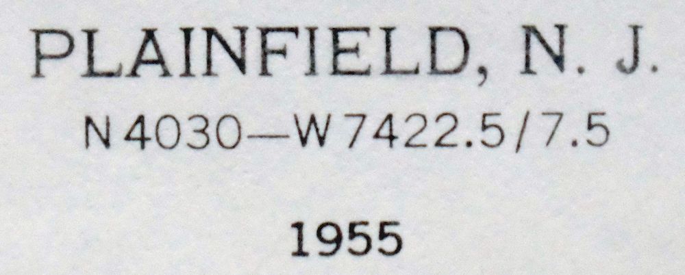 | |
|---|---|
| TITLE | Plainfield |
| STATE | New Jersey |
| LOCATION | Vicinity of Edison, 25 miles southwest of New York |
| SERIES | 7.5-minute |
| SURVEYED | 1942 through 1955 Aerial and Field Survey |
| EDITION | 1955 |
| PRINTED | 1965 |
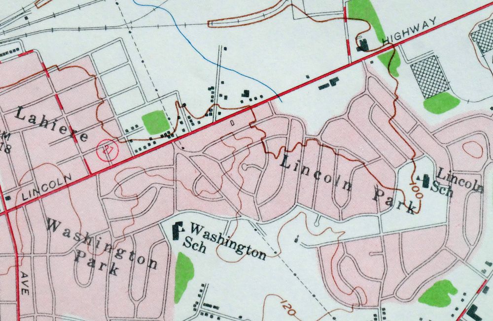
| PRINT NOTES | Thick paper stock, includes woodland tint (green to indicate vegetated areas). A reddish tint is used to indicate urban areas where only landmark buildings are shown. |
| SCALE | 1:24000 |
| CONTOUR INTERVAL | 20 feet |
| SHEET DIMENSIONS | 22 x 27 inches |
| MAP DIMENSIONS | 17 1/4 x 22 3/4 inches |
| COVERAGE AREA | 7 x 9 miles |
| SHEET CONDITION For maps of this vintage, effort is made to note all visible flaws, no matter how minor. | |
| OVERALL CONDITION | Very Good |
| SHEET NOTES | lightly handled, never folded |
| MAP AREA | flawless map area |
| COLLARS | no wear or tears, no markings, hole punches in left collar, minor blemish in upper right collar |
| MAP COVERAGE Quadrangle extent overlaid on current basemap. | |
| PLACENAMES Depending on map series and survey date, all of the features listed below may not be shown on this map. This list contains features that currently exist or historically existed within the area covered by the map. The list can be used as a reference to determine if this map covers your area of interest. Placenames are listed alphabetically next to each feature type. | |
| CITIES AND TOWNS (CURRENT) | Dunellen, Edison, Highland Park, Metuchen, Middlesex, New Brunswick, North Plainfield, Plainfield, Scotch Plains, Society Hill, Somerset, South Plainfield, and Watchung |
| COUNTIES COVERED | Middlesex, Somerset, and Union |
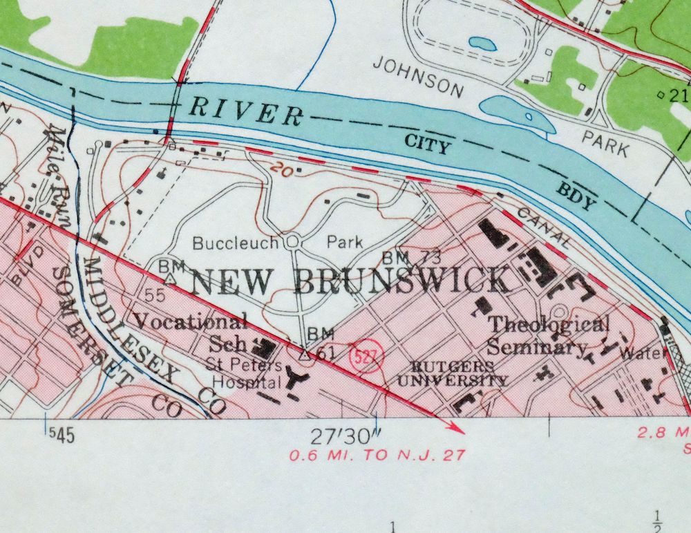
| RIVERS AND STREAMS | Ambrose Brook, Bonygutt Brook, Bound Brook, Crab Brook, East Branch Middle Brook, Green Brook, Mill Brook, Raritan River, and Robinsons Branch |
| Locations: Camp Kilmer, Dunellen Station, Grant Avenue Station, Metuchen Yard, Plainfield Country Club, Plainfield Station, Rutgers Golf Course, Rutgers Stadium, and South Plainfield Station. Administrative Boundaries: Borough of Dunellen, Township of Green Brook, Borough of Highland Park, Borough of North Plainfield, Township of Piscataway, City of Plainfield, and Borough of South Plainfield. Parks: Baird Field, Buccleuch Park, Cedar Brook Park, Columbia Park, Cotton Street Park, Green Brook Park, Johnson Park, and Washington Rock State Park. Drainages: Bonygutt Brook, Crab Brook, Mile Run, Mill Brook, and Stony Brook. Churches: Cenacle Convent and Saint Francis Church. Hospitals: Muhlenburg Hospital and Saint Peters Hospital. Lakes and Ponds: Cedar Brook Lake and Johnsons Pond. Dams: Lake Nelson Dam and Middlesex Milling Dam. Airports: Colgate-Piscataway Heliport, Edison Square Heliport, Enzon South Plainfield Heliport, Foley Machinery Heliport, Frigidaire Company Heliport, HQ 78 Division Heliport, Penske Heliport, Purolator Helistop, and Rutgers Helistop Number 1 Heliport. Schools: Arbor School, Bryant School, Cedarcroft School, Clinton School, Evergreen School, Franklin School, Hamilton School, Harrison School, Hartridge School, Holmes Marshall School, Hubbard School, Irving School, Jefferson School, Lincoln School, North Plainfield High School, Parker School, Roosevelt School, Sacred Heart School, Saint Johns School, Saint Marys School, Saint Mathews School, Saint Pauls School, Somerset School, South Plainfield High School, Stillman School, Stony Brook School, Suz Anne School, Washington School, West End School, Whittier School, and Willis School. Reservoirs and Tanks: Lake Nelson, New Market Pond, and Spring Lake. Towers: WERA-AM (Plainfield), WVHP-FM (Highland Park), and WVPH-FM (Piscataway). Pillars: Washington Rock. | |
| SHIPPING AND RETURNS | |
 This map sheet will be carefully rolled in a sturdy tube and shipped via the US Postal Service. If you find that the sheet you receive is not as described in the listing, you may ship it back to us for a refund of the purchase price. | |
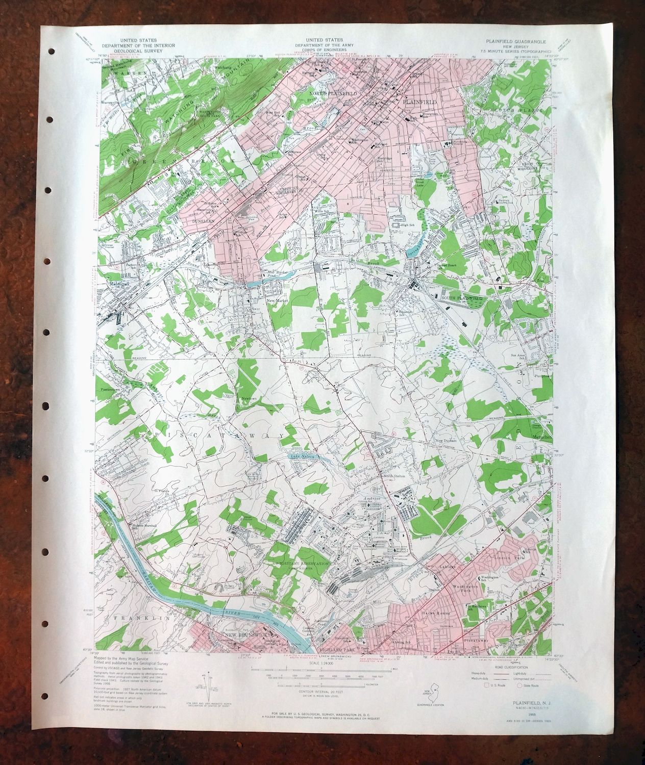
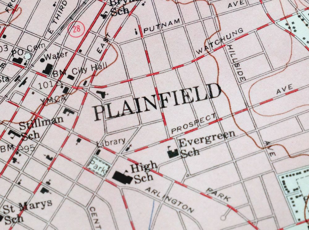
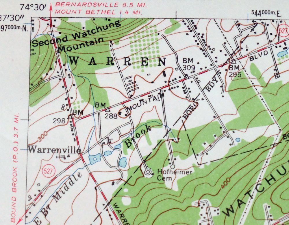
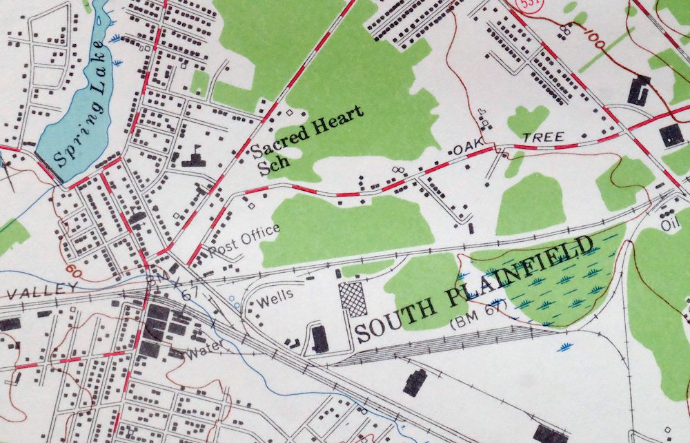
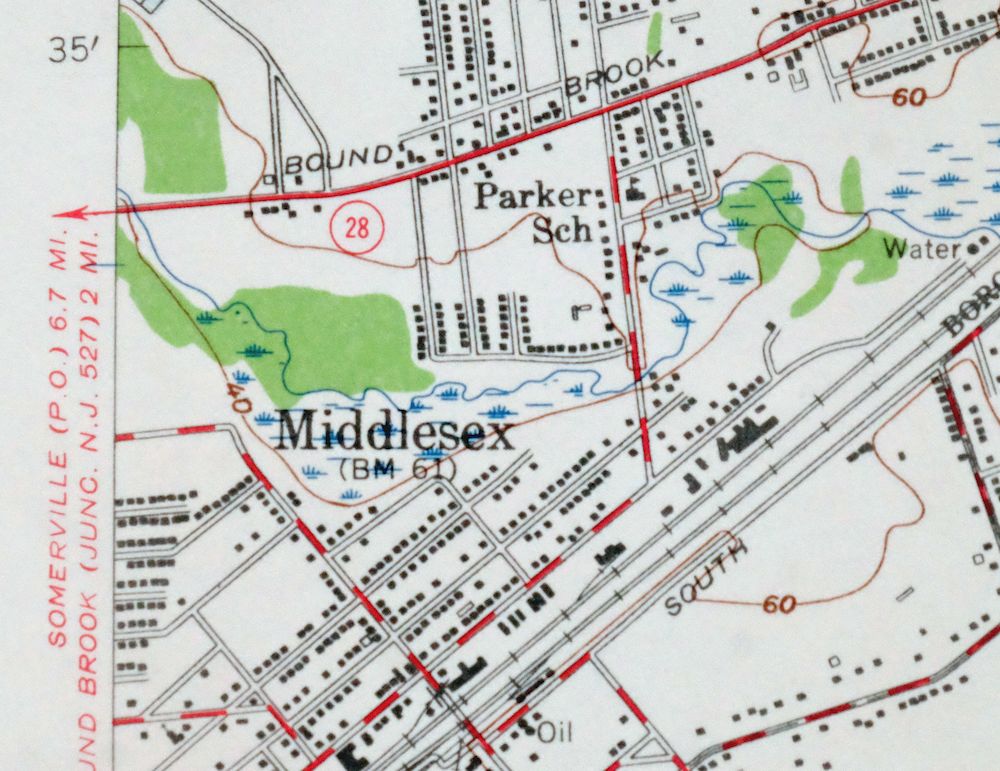
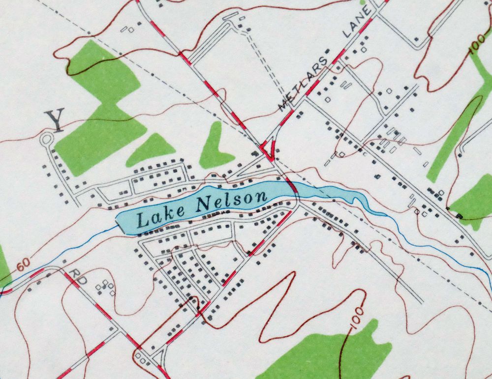
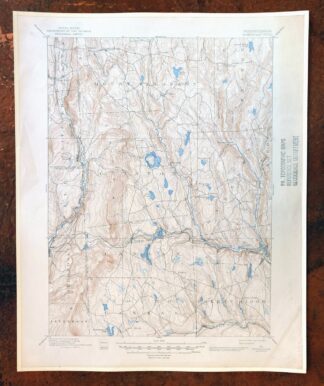
Plainfield New Jersey Edison Somerset USGS Topo Map 1965
$42
This joint USGS and Army Corps of Engineers topographic sheet is a 1955 edition, printed in 1965, in very good condition on thick stock and never folded. Covering roughly 25 miles southwest of New York City, the quad area takes in Plainfield, Edison, New Brunswick, and South Plainfield across parts of Middlesex, Somerset, and Union counties. At 1:24000 with 20-foot contours, it maps this densely settled stretch of central New Jersey in fine detail, showing the street grids and terrain of the mid-1950s landscape. The map area is flawless, with only hole punches and a minor blemish confined to the collar.
In stock
This vintage sheet is a 1955 edition of the Plainfield New Jersey USGS topographic map. It is an original 61-year-old 1965 United States Geological Survey print in very good condition.
HOW THIS MAP CAN BE USED
In addition to making a fascinating conversation piece, this sheet would look great in a frame or on display, make a unique and prized gift for anyone interested in this area, be perfect as a reference for genealogy studies or general historical research, or fill that missing piece in your collection. Maps of this vintage are printed on durable stock and are well-suited for outdoor activities and recreation of all kinds, including hiking, backpacking, hunting, rafting and kayaking, backcountry skiing, geocaching, general exploration, treasure hunting, etc.
FEATURES SHOWN ON THE MAP
The Plainfield 7.5-minute map shows cities and towns, roads, paths, railroads, utilities and energy infrastructure, rivers, creeks, elevation contour lines, public land survey lines, county, state, and other administrative boundaries as they existed at the time of the survey in 1942 through 1955. A reddish tint is used on this sheet to indicate urban areas where only landmark buildings are depicted. Outside of those areas, all known structures (houses, businesses, churches, schools, barns, cabins, etc) are shown.
A VALUABLE HISTORICAL RECORD
This map is from the 7.5-minute series, the most detailed series that is widely available from the USGS. The 1955 Plainfield map is a valuable historical record for the area. It contains some placenames and features that have been dropped from more recent maps.
Nearby maps
-

New Brunswick New Jersey Spotswood Edison USGS Topo Map 1965
$32 Add to cart -

Trenton New Jersey Philadelphia Levittown USGS Topo Map 1907
$150 Add to cart -

Harlem New York New York Yonkers USGS Topo Map 1913 Antique
$250 Add to cart -

Burlington Pennsylvania Trenton USGS Topographic Map 1958
$49 Add to cart -

Park Ridge New Jersey New City Ridgewood USGS Topo Map 1963
$45 Add to cart -
Germantown Pennsylvania Horsham USGS Topographic Map 1912
$125 Add to cart -
Whiting New Jersey Barnegat Toms River USGS Topo Map 1907
$115 Add to cart -

Quakertown Pennsylvania Lansdale Perkasie USGS Topo Map 1911
$120 Add to cart -

Goshen New York Middletown Warwick USGS Topographic Map 1913
$55 Add to cart -

Schunemunk New York Newburgh Kiryas Joel USGS Topo Map 1915
$65 Add to cart -
Rancocas New Jersey Vineland Lindenwold USGS Topo Map 1913
$135 Add to cart -

Milford Pennsylvania Lackawaxen Pond Eddy USGS Topo Map 1915
$58 Add to cart -
Norwalk South Connecticut Stamford Darien USGS Topo Map 1963
$40 Add to cart -

West Point New York Newburgh Peekskill USGS Topo Map 1912
$105 Add to cart -
Hawley Pennsylvania Tafton USGS 15-Min Topo Map 1964 Vintage
$44 Add to cart -
Westport Connecticut Fairfield USGS Topographic Map 1973
$42 Add to cart -

Hazleton Pennsylvania Lansford Tamaqua USGS Topo Map 1956
$48 Add to cart -

Danbury Connecticut Trumbull Bethel USGS Topo Map 1899
$70 Add to cart -

Damascus Pennsylvania Honesdale USGS Topo Map 1964 Vintage
$35 Add to cart -

Honey Brook Pennsylvania Thorndale USGS Topographic Map 1962
$49 Add to cart -

Hazleton Pennsylvania McAdoo Jeddo USGS Topographic Map 1962
$47 Add to cart -

Wilkes-barre East Pennsylvania Laurel Run USGS Topo Map 1959
$36 Add to cart -
Olyphant Pennsylvania Scranton Dunmore USGS Topo Map 1960
$37 Add to cart -
Honesdale Pennsylvania Carbondale Waymart USGS Topo Map 1945
$49 Add to cart
