MAP DETAILS | |
|---|---|
| TITLE | Oraibi |
| STATE | Arizona |
| SURVEYED | 1964 through 1966 Aerial and Field Survey |
| PRINT NOTES | Thick paper stock, includes woodland tint (green to indicate vegetated areas) |
| SCALE | 1:62500 |
| CONTOUR INTERVAL | 40 feet |
| SHEET DIMENSIONS | 16 7/8 x 21 inches |
| MAP DIMENSIONS | 14 1/8 x 17 1/2 inches |
| COVERAGE AREA | 14 x 17 miles |
| SOURCE | From the vintage map collection of Art Christiansen, Tempe, Arizona |
| SHEET CONDITION For maps of this vintage, effort is made to note all visible flaws, no matter how minor. | |
| SHEET NOTES | moderately handled, never folded |
| MAP AREA | no markings, no blemishes |
| COLLARS | no markings, light age-toning in right collar, no edge tears, creases in right collar |
| MAP COVERAGE Quadrangle extent overlaid on current basemap. | |
| PLACENAMES Depending on map series and survey date, all of the features listed below may not be shown on this map. This list contains features that currently exist or historically existed within the area covered by the map. The list can be used as a reference to determine if this map covers your area of interest. Placenames are listed alphabetically next to each feature type. | |
| NOTABLE PLACES | Hopi, Shongopovi, and Hotevilla |
| CITIES AND TOWNS (CURRENT) | Hotevilla-Bacavi, Kykotsmovi Village, Oraibi, and Second Mesa |
| COUNTIES COVERED | Navajo |
| FEDERAL LAND UNITS | Hopi Indian Reservation |
| RIVERS AND STREAMS | Dinnebito Wash and Oraibi Wash |
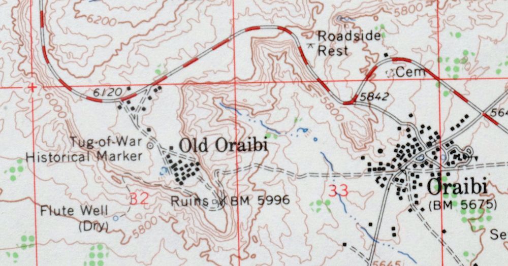
| Locations: Hopi Cultural Center. Areas: Tusayan. Reserves: Hopi Indian Reservation. Mountains, Peaks, and Summits: Kiiqo, Mowa`api, Oraibi Butte, Oraibi Mesa, Patangvostuyqa, Second Mesa, Taawaki, and Third Mesa. Parks: Hopi Tribe Picnic Area, Old Orchard Picnic Ground, and Tug-Of-War Historical Marker. Buildings: Bacobi Community Building, Hopi Tribal Offices, Oraibi Community Building, and Shongopavi Community Building. Schools: Hopi Mission School, Hotevilla School, Oraibi Day School, and Second Mesa Day School. Wells: Flute Well. Springs: Bluebird Spring, Brownrock Spring, Cave Spring, Corner Spring, Dove Spring, Grooming Spring, Hoonawpa, Hotevilla Spring, Howiipi, Ruins Spring, Shaded Spring, Shungopavi Spring, Siwukva, Stinkbug Spring, Suviva, White Spring, and Whitewall Springs. | |
| SHIPPING AND RETURNS | |
 Ships carefully rolled in a sturdy 2" x 18" mailing tube. Shipping and return details are in our terms. | |
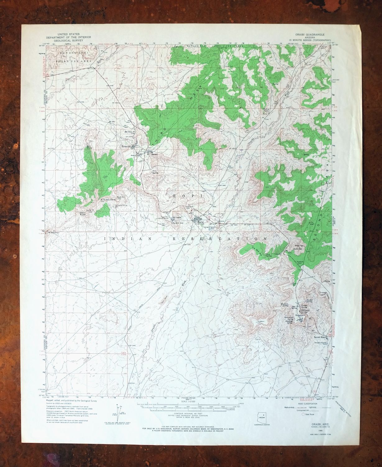
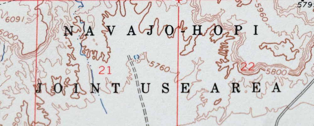
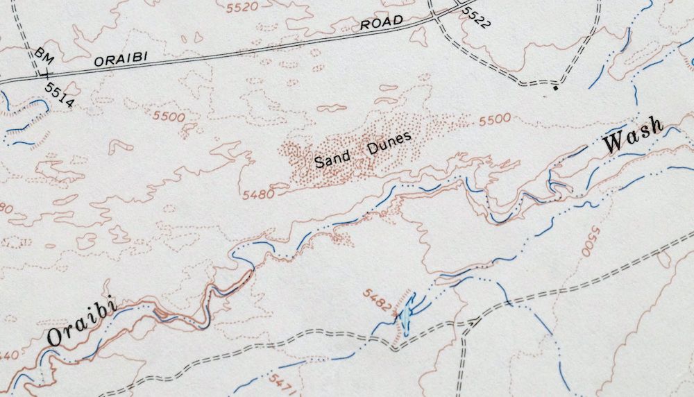
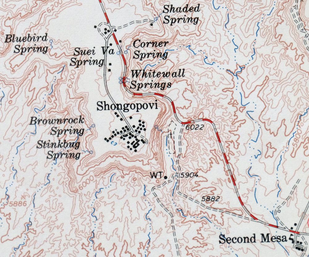
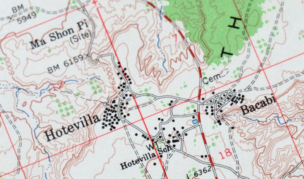
1966 USGS Topo Map: Oraibi, Hopi, Arizona (15-minute Series)
$29
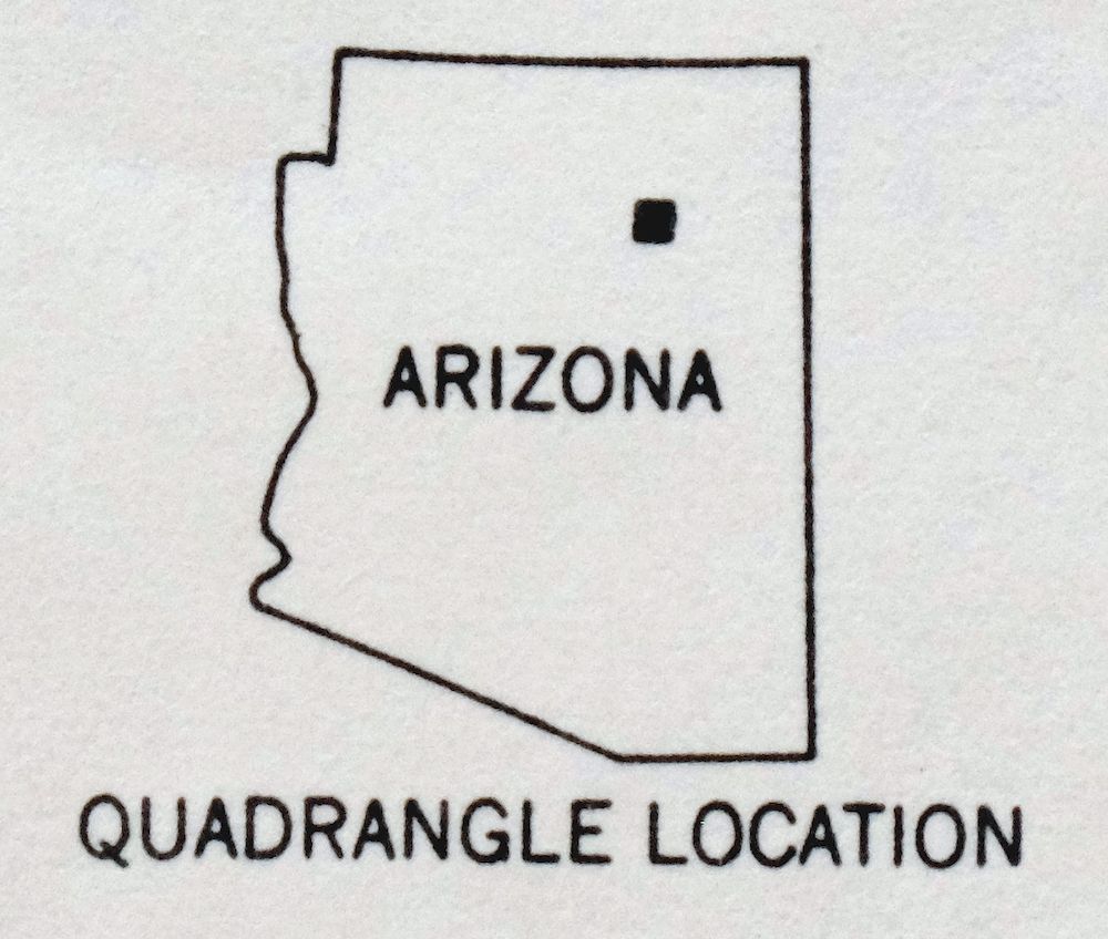
- Vicinity of Second Mesa, 75 miles northeast of Flagstaff, AZ.
- 15-minute series, 1966 edition, printed in 1968.
- Good condition, never folded.
In stock
This vintage sheet is a 1966 edition of the Oraibi Arizona USGS topographic map. It is an original 58-year-old 1968 United States Geological Survey print in good condition.
HOW THIS MAP CAN BE USED
In addition to making a fascinating conversation piece, this sheet would look great in a frame or on display, make a unique and prized gift for anyone interested in this area, be perfect as a reference for genealogy studies or general historical research, or fill that missing piece in your collection. Maps of this vintage are printed on durable stock and are well-suited for outdoor activities and recreation of all kinds, including hiking, backpacking, hunting, rafting and kayaking, backcountry skiing, geocaching, general exploration, treasure hunting, etc.
FEATURES SHOWN ON THE MAP
The Oraibi 15-minute map shows cities and towns, roads, railroads, utilities and energy infrastructure, rivers, creeks, elevation contour lines, public land survey lines, county, state, and other administrative boundaries as they existed at the time of the survey in 1964 through 1966. All known structures (houses, businesses, churches, schools, barns, cabins, etc) are also shown.
A VALUABLE HISTORICAL RECORD
Maps from the 15-minute series for the continental United States are no longer produced or printed by the USGS and original prints are becoming increasingly difficult to find. They are a valuable historical record for an area, as they contain many placenames and features that have been dropped from more recent maps.
Nearby maps
-
Polacca, Hopi, Arizona 1966 USGS Topo Map
$41 Add to cart -
Egloffstein Butte, Hopi, Arizona 1966 USGS Topo Map (Navajo)
$30 Add to cart -
Leupp, Tolani Lake, Arizona 1955 USGS Topo Map
$37 Add to cart -
Winslow, Arizona 1954 USGS Topographic Map (Original Print)
$32 Add to cart -
Blue Spring, Arizona 1955 USGS Topo Map (1978 Print)
$39 Add to cart -
1962 USGS Topo Map: S P Mountain, Wupatki, Arizona
$29 Add to cart -

1886 USGS Topo Map: Tusayan, Winslow, Arizona
$63 Add to cart -
Marsh Pass, Arizona 1892 USGS Topo Map (1922 Print)
$66 Add to cart -
Echo Cliffs, Arizona 1891 USGS Topo Map (1913 Print)
$29 Add to cart -
Ebert Mountain, Red Mountain, Arizona 1960 USGS Topo Map
$31 Add to cart -
1952 USGS Topo Map: Agathla Peak, Arizona/Utah
$35 Add to cart -
Holbrook, Woodruff, Arizona 1955 USGS Topo Map
$31 Add to cart -
Nankoweap, Arizona 1954 USGS Topo Map: Grand Canyon
$27 Add to cart -

Petrified Forest, Blue Forest, Arizona 1955 USGS Topo Map
$51 Add to cart -
Petrified Forest, Blue Forest, Arizona 1912 USGS Topo Map
$41 Add to cart -
Mountainaire, Arizona 1962 USGS Topo Map
$35 Add to cart -
Buell Park, Arizona/New Mexico 1955 USGS Topo Map
$40 Add to cart -
Bright Angel, Grand Canyon, Arizona 1906 USGS Topo Map
$29 Add to cart -
Valle, Arizona 1962 USGS Topo Map: Kaibab (Original Print)
$27 Add to cart -
Navajo Mountain, UT/AZ 1953 USGS Topo Map (1973 Print)
$37 Add to cart -

1954 USGS Topo Map: Lees Ferry, Marble Canyon, Arizona
$48 Add to cart -
Cummings Mesa, Utah/Arizona 1953 USGS Topo Map (1978 Print)
$30 Add to cart -

Cummings Mesa, Glen Canyon, Utah/Arizona 1953 USGS Topo Map
$50 Add to cart -
De Motte Park, Arizona 1962 USGS Topo Map
$32 Add to cart