MAP DETAILS | |
|---|---|
| TITLE | Bagdad |
| STATE | Arizona |
| LOCATION | 40 miles west of Prescott |
| SERIES | 15-minute |
| SURVEYED | 1945 Aerial and Field Survey |
| EDITION | 1945 |
| PRINTED | 1964 |
| PRINT NOTES | Thick paper stock, includes woodland tint (green to indicate vegetated areas) |
| SCALE | 1:62500 |
| CONTOUR INTERVAL | 50 feet |
| SHEET DIMENSIONS | 17 x 21 inches |
| MAP DIMENSIONS | 14 3/8 x 17 1/2 inches |
| COVERAGE AREA | 14 x 17 miles |
| SHEET CONDITION For maps of this vintage, effort is made to note all visible flaws, no matter how minor. | |
| OVERALL CONDITION | Very Good |
| SHEET NOTES | lightly handled, never folded |
| MAP AREA | no wear, no markings, no blemishes |
| COLLARS | no wear or tears, no markings, no blemishes, hole punches along left collar |
| MAP COVERAGE Quadrangle extent overlaid on current basemap. | |
| PLACENAMES Depending on map series and survey date, all of the features listed below may not be shown on this map. This list contains features that currently exist or historically existed within the area covered by the map. The list can be used as a reference to determine if this map covers your area of interest. Placenames are listed alphabetically next to each feature type. | |
| CITIES AND TOWNS (CURRENT) | Bagdad |
| COUNTIES COVERED | Yavapai |
| FEDERAL LAND UNITS | Prescott National Forest and Upper Burro Creek Wilderness |
| RIVERS AND STREAMS | Alum Creek, Big Shipp Wash, Boulder Creek, Bridle Creek, Bull Spring Wash, Burro Creek, Butte Creek, Contreras Wash, Copper Creek, Cottonwood Creek, Cowboy Wash, Francis Creek, Iron Spring Wash, Little Shipp Wash, Little Sycamore Wash, Loco Creek, Mineral Creek, Mountain Spring Wash, Mulholland Wash, Niagara Creek, Santa Maria River, Spring Creek, Warm Spring Creek, White Spring Wash, and Wilder Creek |
| WATER BODIES | Lower Corral Tanks |
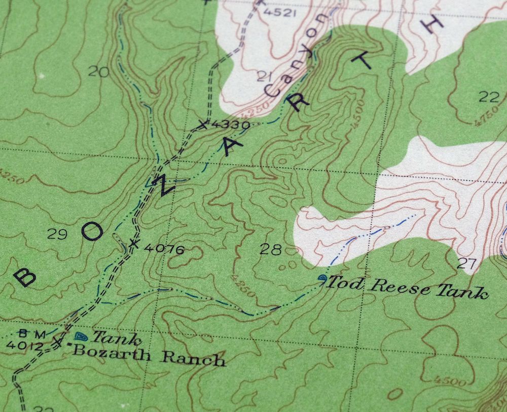
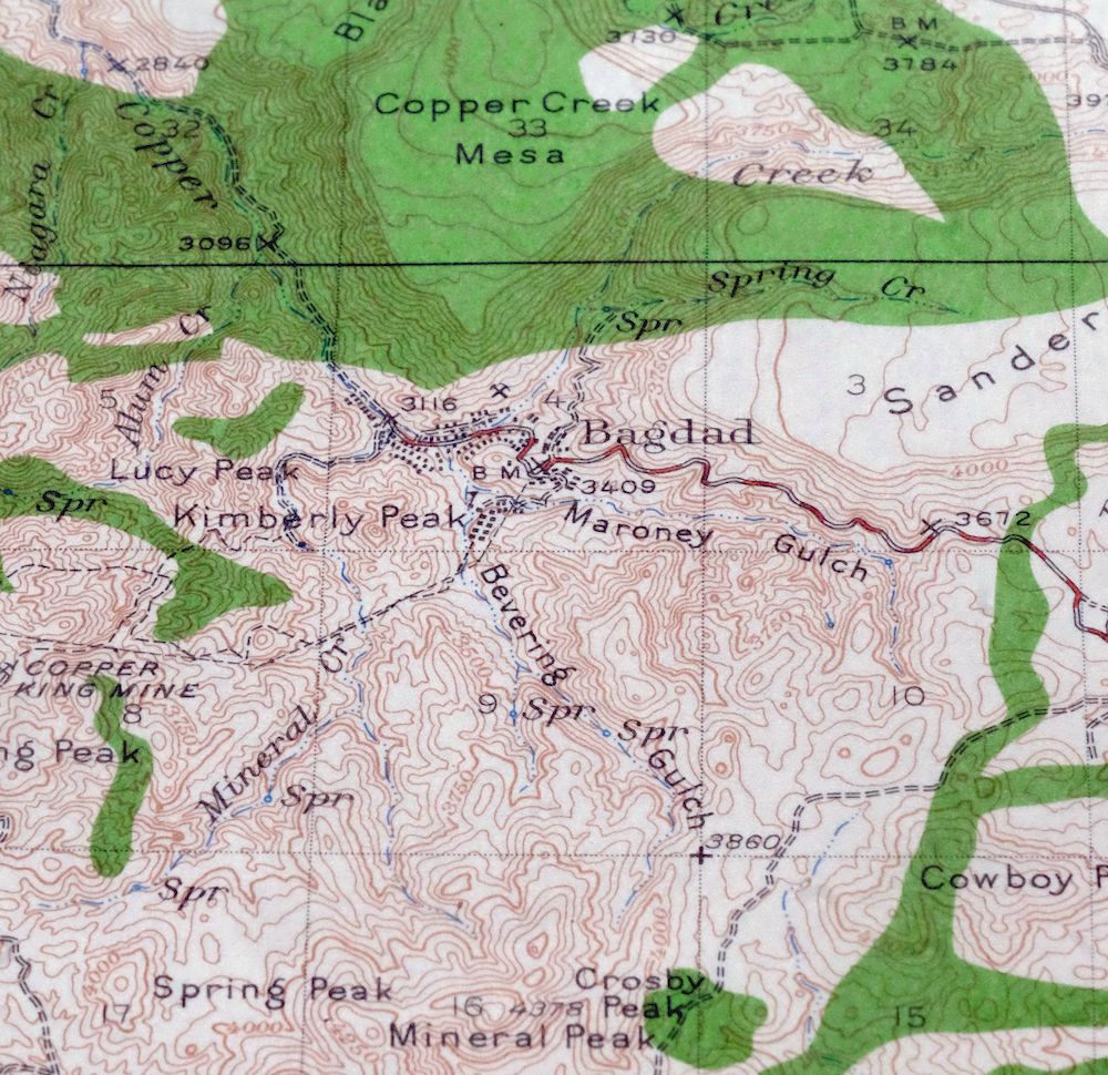
| Locations: Bozarth Ranch and S H Ranch. Areas: Muchos Canones. Mountains, Peaks, and Summits: Anderson Mesa, Behm Mesa, Big Shipp Mountain, Black Mesa, Blue Mountain, Bozarth Mesa, Burro Mountain, Centipede Mesa, Contreras Mesa, Copper Creek Mesa, Cowboy Peaks, Crosby Peak, Cypress Mountain, Dick Peak, Granite Mountain, Hackberry Mesa, Hillside Rocks, Kimberly Peak, King Peak, Lawler Peak, Little Shipp Mountain, Lucy Peak, Miller Mountain, Mineral Peak, Nelson Mesa, S H Mesa, Sanders Mesa, Spring Peak, Waters Peak, and Wilder Mesa. Valleys and Canyons: Bevering Gulch, Blue Canyon, Lower Corral Draw, Maroney Gulch, Pinky Canyon, Rock Tank Canyon, Seligman Canyon, Stone Corral Canyon, Stubbs Gulch, and Zana Canyon. Drainages: Alum Creek, Big Shipp Wash, Bull Spring Wash, Butte Creek, Contreras Wash, Copper Creek, Cottonwood Creek, Francis Creek, Iron Spring Wash, Little Sycamore Wash, Mineral Creek, Niagara Creek, Spring Creek, Warm Spring Creek, White Spring Wash, and Wilder Creek. Capes: Bozarth Point and Warm Spring Point. Mines: Bagdad Open Pit Mine, Black Pearl Mine, Comstock-Dexter Mine, Copper King Mine, Cowboy Mine, Hillside Mine, Kyeke Mine, and Old Dick Mine. Hospitals: Bagdad Hospital. Dams: Bagdad Tailings Dam. Bluffs: Butcher Corral Point, Long Point, and Wilder Point. Gaps: Mesa Pass. Basins: Mulholland Basin, The Rincon, Silent Basin, Urie Basin, and Wildhorse Basin. Airports: Bagdad Airport. Schools: Bagdad Elementary School, Bagdad High School, and Daniel C Lincoln Elementary School. Ridges: Windy Ridge. Reservoirs and Tanks: Behm Mesa Tank, Brushy Basin Tank, Corner Dam Tank, Crosby Tank, Hardy-Schell Tank, Lang Tank, Lower Corral Tanks, Stubbs Tank, Tod Reese Tank, and Windy Ridge Tank. Flats: Bear Flat, Pine Flat, and Strofiost Flat. Pillars: Chimney Rock. Springs: Cold Spring, Cypress Spring, Mountain Spring, Urie Spring, Warm Spring, White Spring, and Wilder Spring. | |
| SHIPPING AND RETURNS | |
 This map sheet will be carefully rolled in a sturdy tube and shipped via the US Postal Service. If you find that the sheet you receive is not as described in the listing, you may ship it back to us for a refund of the purchase price. | |
1964 Bagdad Arizona USGS Topo Map
$38
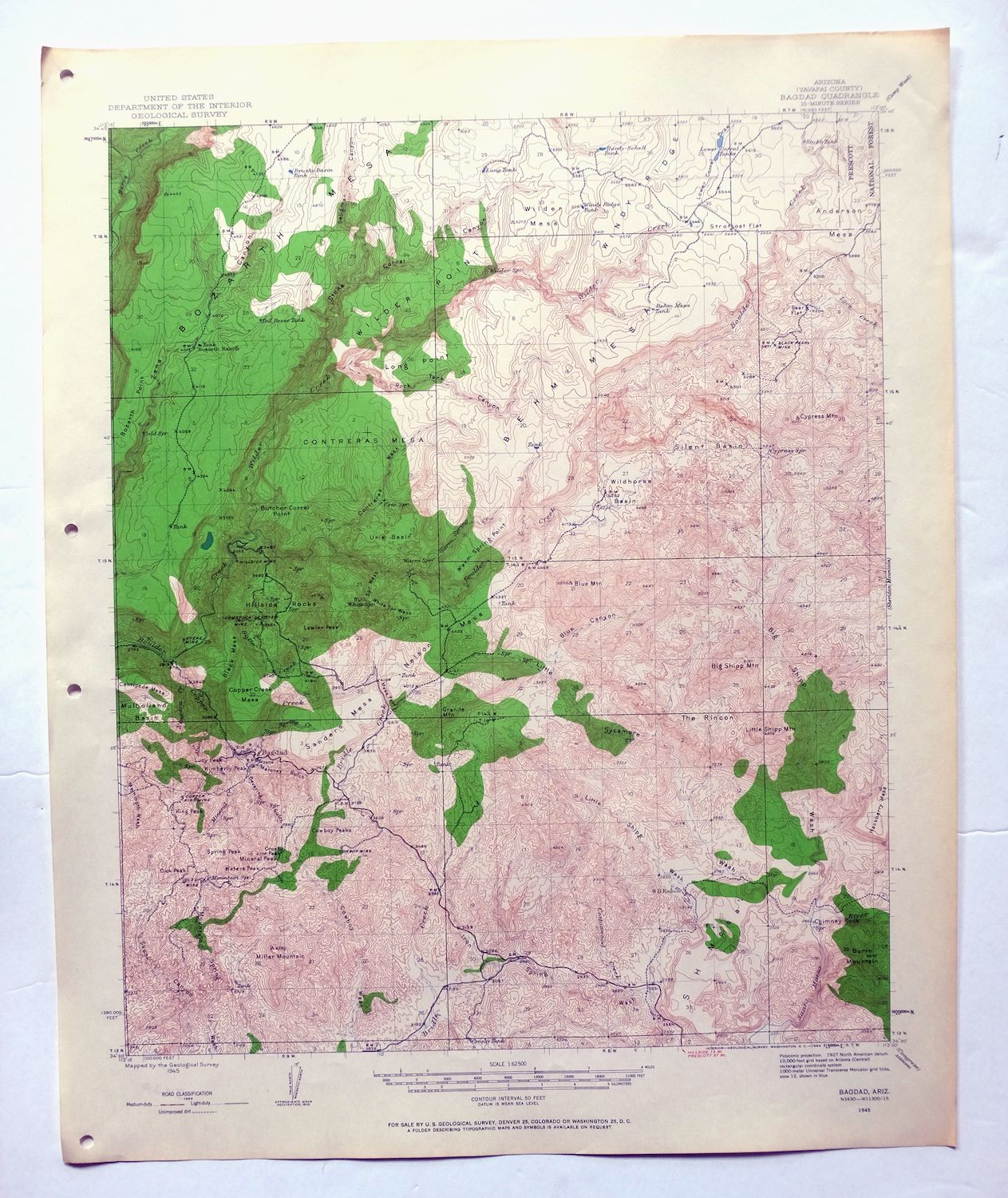
This USGS topographic map of Bagdad, Arizona, is a 1945 edition printed in 1964, at the 15-minute scale with a 50-foot contour interval and a green woodland tint marking vegetated country. Centered on the small mining town of Bagdad in Yavapai County, about 40 miles west of Prescott, the quad takes in rugged desert terrain and includes portions of the Prescott National Forest and the Upper Burro Creek Wilderness. Bagdad grew up around one of Arizona’s large open-pit copper operations, which still works the ground nearby. Printed on thick stock and never folded, the sheet is in very good condition and takes well to framing.
In stock
This vintage sheet is a 1945 edition of the Bagdad Arizona USGS topographic map. It is an original 62-year-old 1964 United States Geological Survey print in very good condition.
HOW THIS MAP CAN BE USED
In addition to making a fascinating conversation piece, this sheet would look great in a frame or on display, make a unique and prized gift for anyone interested in this area, be perfect as a reference for genealogy studies or general historical research, or fill that missing piece in your collection. Maps of this vintage are printed on durable stock and are well-suited for outdoor activities and recreation of all kinds, including hiking, backpacking, hunting, rafting and kayaking, backcountry skiing, geocaching, general exploration, treasure hunting, etc.
FEATURES SHOWN ON THE MAP
The Bagdad 15-minute map shows cities and towns, roads, railroads, utilities and energy infrastructure, rivers, creeks, elevation contour lines, public land survey lines, county, state, and other administrative boundaries as they existed at the time of the survey in 1945. All known structures (houses, businesses, churches, schools, barns, cabins, etc) are also shown.
A VALUABLE HISTORICAL RECORD
Maps from the 15-minute series for the continental United States are no longer produced or printed by the USGS and original prints are becoming increasingly difficult to find. They are a valuable historical record for an area, as they contain many placenames and features that have been dropped from more recent maps.
Nearby maps
-
Sheridan Mountain Arizona Sycamore Creek USGS Topo Map 1978
$35 Add to cart -
Camp Wood Arizona Prescott NF USGS Topographic Map 1949
$32 Add to cart -

Simmons Arizona Paulden Williamson USGS 15-Min Topo Map 1964
$42 Add to cart -
Simmons Arizona Paulden Williamson USGS Topographic Map 1950
$27 Add to cart -
Prescott Arizona Chino Valley Williamson USGS Topo Map 1948
$25 Add to cart -
Picacho Butte Arizona Chino Valley USGS 15-Min Topo Map 1950
$24 Add to cart -
Ives Peak Arizona USGS 15-Min Topographic Map 1967 Vintage
$34 Add to cart -

Mount Union Arizona Prescott NF Mayer USGS Topo Map 1949
$34 Add to cart -
Castaneda Hills Arizona USGS 15-Min Topo Map 1967 Vintage
$30 Add to cart -
Mount Union Arizona Prescott NF Mayer USGS Topo Map 1964
$43 Add to cart -

Gladden Arizona Aguila Valley USGS Topographic Map 1971
$30 Add to cart -
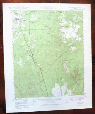
Ash Fork Arizona Kaibab NF Prescott NF USGS Topo Map 1978
$44 Add to cart -
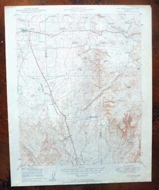
Ash Fork Arizona Kaibab NF Prescott NF USGS Topo Map 1949
$25 Add to cart -
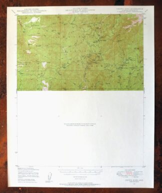
Crown King Arizona Prescott NF USGS Topo Map 1955 Vintage
$46 Add to cart -

Crown King Arizona Prescott NF USGS Topo Map 1950 Vintage
$33 Add to cart -
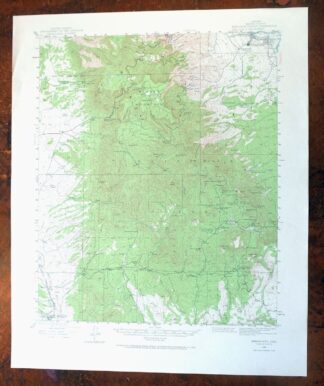
Mingus Mountain Arizona Cottonwood USGS Topographic Map 1970
$46 Add to cart -

Clarkdale Arizona Cottonwood Jerome USGS Topo Map 1948
$44 Add to cart -
Yucca Arizona Black Mountains USGS Topo Map 1947 Vintage
$45 Add to cart -
1955 Mayer Arizona USGS Topo Map: Prescott NF
$38 Add to cart -

Bill Williams Mountain Arizona Williams USGS Topo Map 1983
$40 Add to cart -

Congress Arizona Yarnell Wilhoit USGS Topo Map 1948 Vintage
$38 Add to cart -
Kingman SE Arizona Griffith USGS Topographic Map 1968
$32 Add to cart -

Diamond Creek Arizona Grand Canyon Nelson USGS Topo Map 1927
$130 Add to cart -
Kingman Arizona Hualapai Mountains Harris USGS Topo Map 1980
$28 Add to cart