MAP DETAILS | |
|---|---|
| TITLE | Mount Baker |
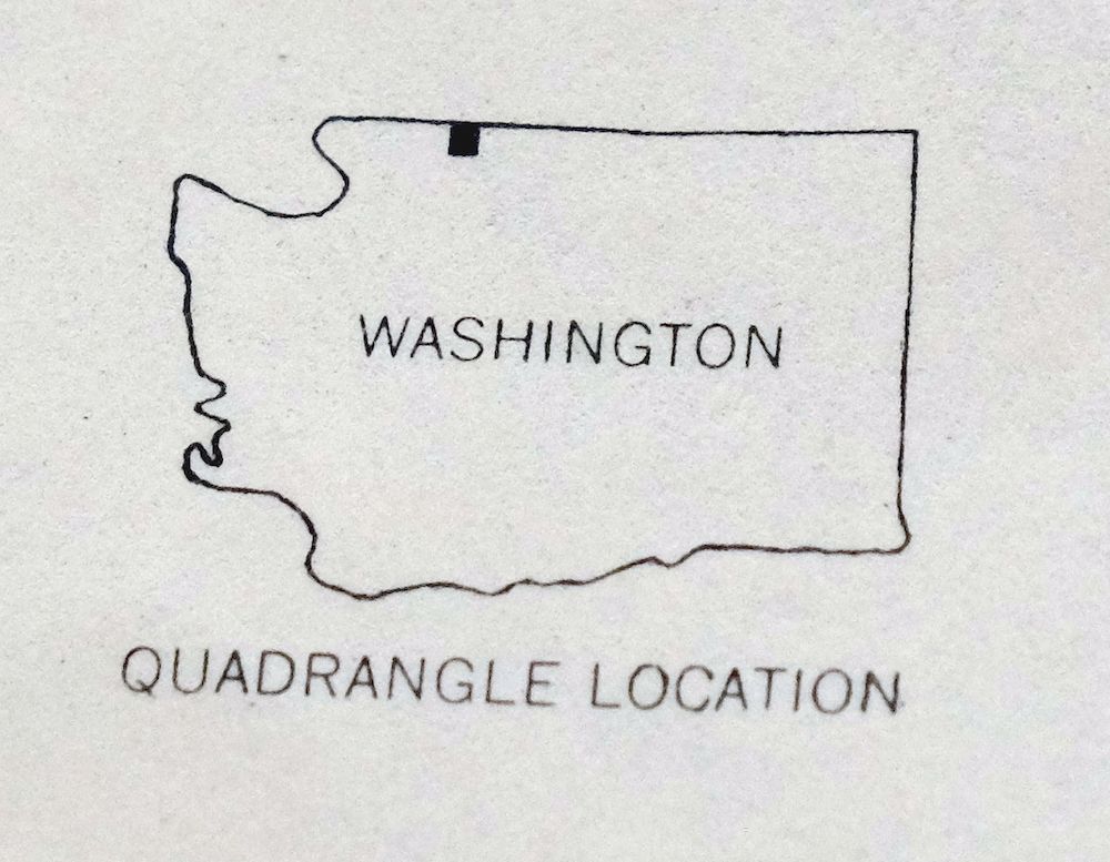
| STATE | Washington |
| LOCATION | 30 miles east of Bellingham |
| SERIES | 15-minute |
| SURVEYED | 1950 and 1952 Aerial and Field Survey |
| EDITION | 1952 |
| PRINTED | 1958 |
| PRINT NOTES | Thick paper stock, includes woodland tint (green to indicate vegetated areas) |
| SCALE | 1:62500 |
| CONTOUR INTERVAL | 100 feet |
| SHEET DIMENSIONS | 16 1/2 x 20 inches (approximate) |
| MAP DIMENSIONS | 11 1/2 x 17 1/2 inches |
| COVERAGE AREA | 11 x 17 miles |
| SHEET CONDITION For maps of this vintage, effort is made to note all visible flaws, no matter how minor. | |
| OVERALL CONDITION | Good |
| SHEET NOTES | moderately handled, has foldlines, map title notation on back of sheet |
| MAP AREA | no wear, no markings, no blemishes |
| COLLARS | no wear or tears, no markings, no blemishes |
| MAP COVERAGE Quadrangle extent overlaid on current basemap. | |
| PLACENAMES Depending on map series and survey date, all of the features listed below may not be shown on this map. This list contains features that currently exist or historically existed within the area covered by the map. The list can be used as a reference to determine if this map covers your area of interest. Placenames are listed alphabetically next to each feature type. | |
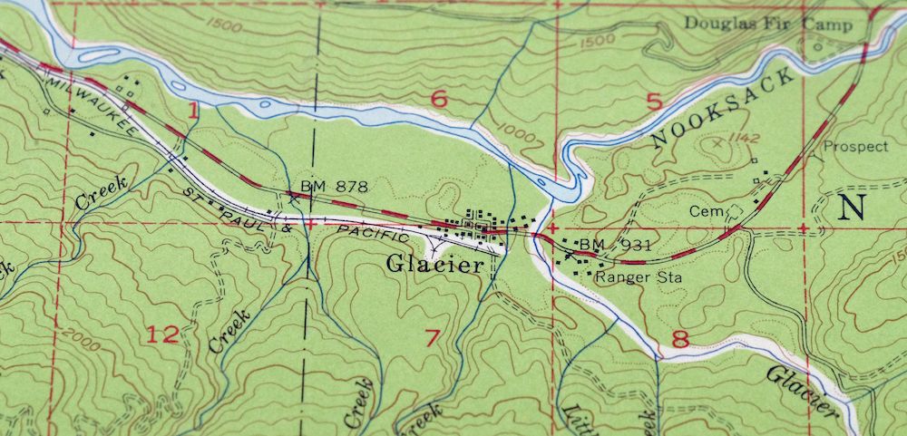
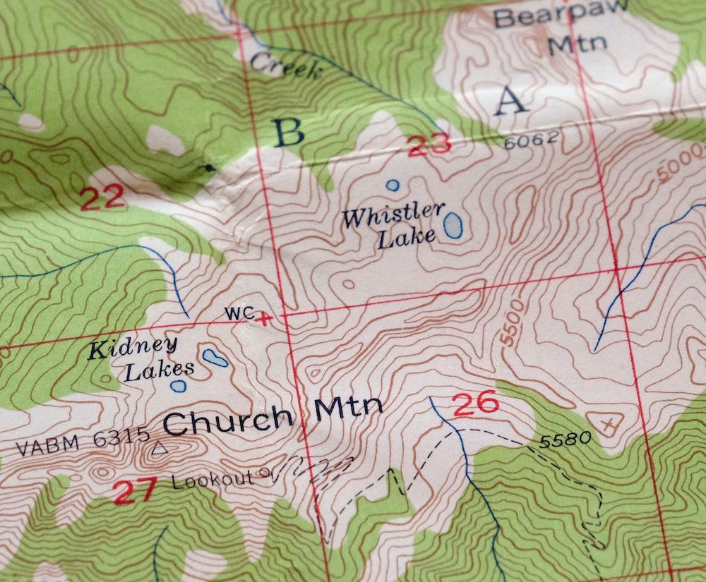
| NOTABLE PLACES | Glacier, Church Mountain, and Bald Mountain |
| COUNTIES COVERED | Whatcom |
| FEDERAL LAND UNITS | Mount Baker Helicopter Training Area, Mount Baker National Forest, Mount Baker National Recreation Area, and Mount Baker Wilderness |
| RIVERS AND STREAMS | Bar Creek, Boulder Creek, Canyon Creek, Clean Creek, Clearwater Creek, Coal Creek, Consolidation Creek, Cornell Creek, Damfino Creek, Davis Creek, Deadhorse Creek, Deep Creek, Deerhorn Creek, Dippy Creek, Dobbs Creek, Fossil Creek, Frost Creek, Gallop Creek, Glacier Creek, Grouse Creek, Hedrick Creek, Jim Creek, Kidney Creek, Kulshan Creek, Lookout Creek, Middle Fork Nooksack River, North Fork Nooksack River, Park Creek, Quartz Creek, Rainbow Creek, Rocky Creek, Sholes Creek, Sister Creek, Smith Creek, Thompson Creek, Wallace Creek, Warm Creek, Wells Creek, West Cornell Creek, and Whistler Creek |
| WATER BODIES | Bald Lake, Bearpaw Mountain Lake, and Church Lake |
| Locations: Canyon Creek Campground, Douglas Fir Campground, Excelsior Lookout, Glacier Public Service Center, Kulshan Cabin, Mount Baker Trailhead, Mount Baker Vista Picnic Area, Nooksack Campground, Nooksack Falls Viewpoint, and Nooksack Power Plant. Areas: Dorr Fumarole Field and North Fork Nooksack Research Natural Area. Mountains, Peaks, and Summits: Mount Baker Vista, Mount Baker, Bald Mountain, Bearpaw Mountain, Black Buttes, Church Mountain, Colfax Peak, Cowap Peak, Crag View, Excelsior Peak, Grant Peak, Groat Mountain, Grouse Butte, Hadley Peak, Kaisoots Mountain, Lahar Lookout, Lincoln Peak, Little Mountain, Lookout Mountain, The Portals, Seward Peak, and Sherman Peak. Valleys and Canyons: The Gorge. Parks: Mount Baker Wilderness Area. Drainages: Bar Creek, Bee Creek, Boyd Creek, Canyon Creek, Cascade Creek, Clean Creek, Coal Creek, Consolidation Creek, Cornell Creek, Davis Creek, Dead Horse Creek, Deep Creek, Deer Horn Creek, Deerhorn Creek, Dippy Creek, Dobbs Creek, Falls Creek, Fossil Creek, Gallop Creek, Glacier Creek, Grouse Creek, Hedrick Creek, Heliotrope Creek, Hurst Creek, Jim Creek, Kidney Creek, Kulshan Creek, Little Creek, Lookout Creek, Maple Creek, Rocky Creek, Sholes Creek, Sister Creek, Smith Creek, Thompson Creek, Warm Creek, Wells Creek, West Cornell Creek, and Whistler Creek. Mines: Excelsior Mine. Forests: Mount Baker-Snoqualmie National Forest. Lakes and Ponds: Bald Lake, Bearpaw Mountain Lake, Canyon Lake, Church Lake, Damfino Lakes, Kidney Lakes, Pinus Lake, and Whistler Lake. Waterfalls: Nooksack Falls. Dams: Nooksack Diversion Dam. Bluffs: Lee Promontory, The Palisades, Park Cliffs, and Roman Wall. Gaps: Church Saddle, Coal Pass, and Excelsior Pass. Craters: Sherman Crater and Summit Crater. Bends: Horseshoe Bend. Basins: Smith Basin. Ridges: Bastile Ridge, Canyon Ridge, Chowder Ridge, Chromatic Moraine, Cockscomb, Cougar Divide, Crater Moraine, Dobbs Cleaver, Grouse Ridge, Heliotrope Ridge, Marmot Ridge, Skyline Divide, and West Church Ridge. Pillars: Portrait Rock. | |
| SHIPPING AND RETURNS | |
 This map sheet will be carefully rolled in a sturdy tube and shipped via the US Postal Service. If you find that the sheet you receive is not as described in the listing, you may ship it back to us for a refund of the purchase price. | |
1958 USGS Topo Map: Mount Baker, Glacier, Washington
$30
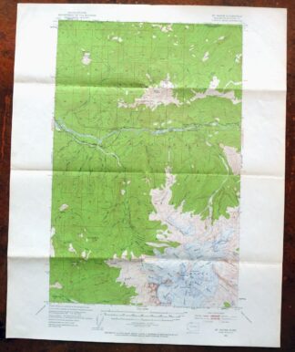
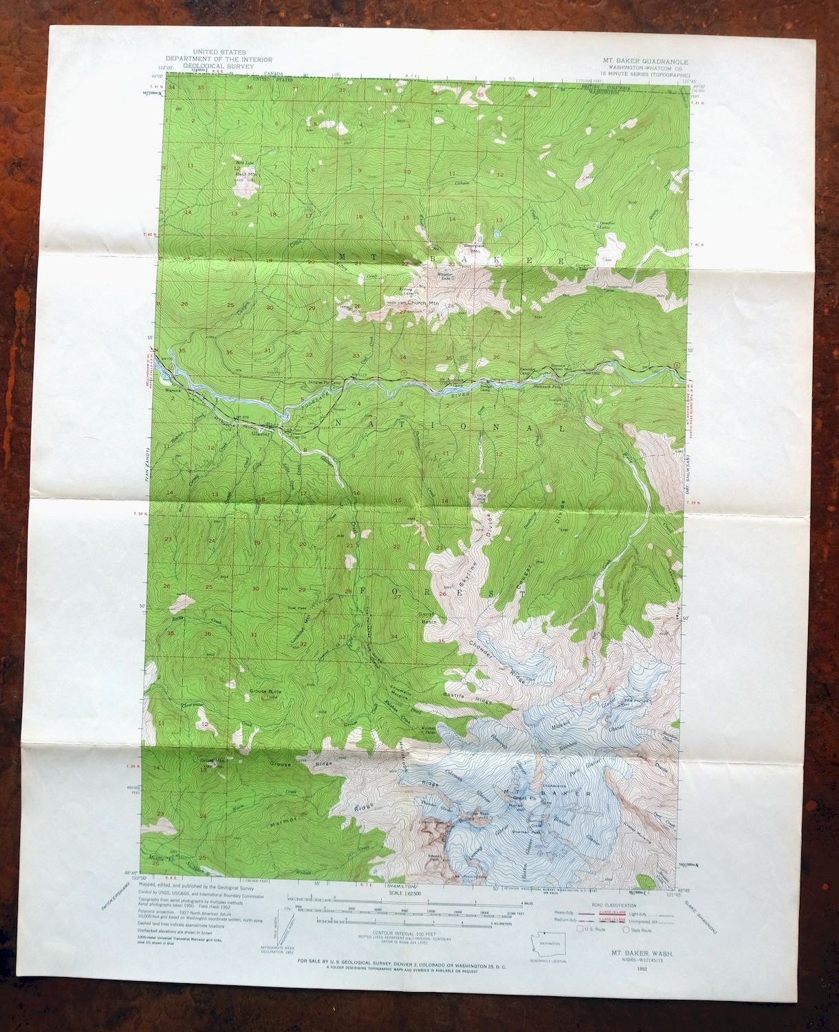
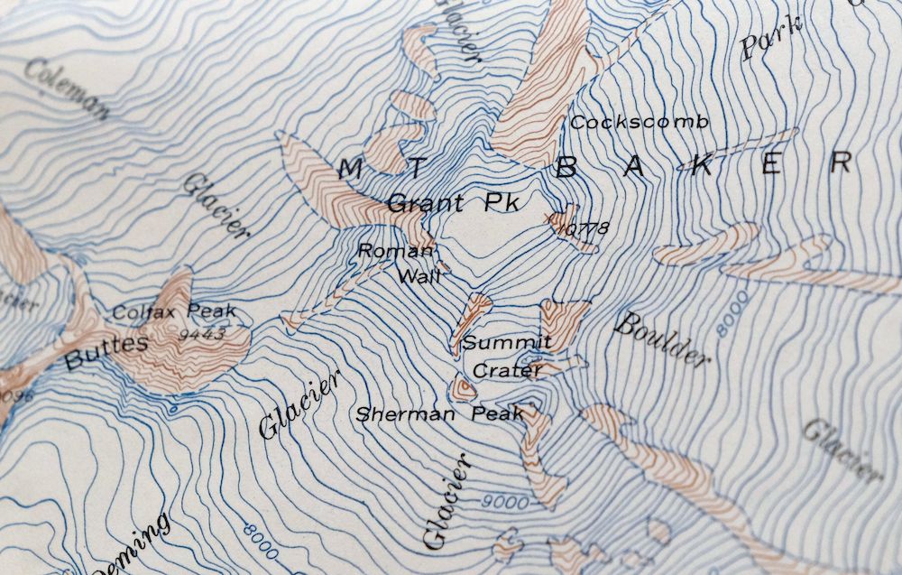
This 15-minute topographic map of Mount Baker was first published as a 1952 edition and printed on thick paper in 1958, at a scale of 1:62,500 with 100-foot contours and a green woodland tint marking the forested areas. Covering about 11 by 17 miles of Whatcom County, roughly 30 miles east of Bellingham, it takes in the town of Glacier, Church Mountain, Bald Mountain, and portions of Mount Baker National Forest. The volcano’s glaciers and steep drainage of the North Fork Nooksack are rendered in close detail, a working picture of terrain that draws climbers and skiers to this day.
In stock
This vintage sheet is a 1952 edition of the Mount Baker Washington USGS topographic map. It is an original 68-year-old 1958 United States Geological Survey print in good condition.
HOW THIS MAP CAN BE USED
In addition to making a fascinating conversation piece, this sheet would look great in a frame or on display, make a unique and prized gift for anyone interested in this area, be perfect as a reference for genealogy studies or general historical research, or fill that missing piece in your collection. Maps of this vintage are printed on durable stock and are well-suited for outdoor activities and recreation of all kinds, including hiking, backpacking, hunting, rafting and kayaking, backcountry skiing, geocaching, general exploration, treasure hunting, etc.
FEATURES SHOWN ON THE MAP
The Mount Baker 15-minute map shows cities and towns, roads, railroads, utilities and energy infrastructure, rivers, creeks, elevation contour lines, public land survey lines, county, state, and other administrative boundaries as they existed at the time of the survey in 1950 and 1952. All known structures (houses, businesses, churches, schools, barns, cabins, etc) are also shown.
A VALUABLE HISTORICAL RECORD
Maps from the 15-minute series for the continental United States are no longer produced or printed by the USGS and original prints are becoming increasingly difficult to find. They are a valuable historical record for an area, as they contain many placenames and features that have been dropped from more recent maps.
Nearby maps
-
Mount Shuksan Washington USGS 15-Min Topo Map 1957 Vintage
$36 Add to cart -
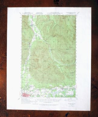
Wickersham Washington Lyman Acme USGS Topographic Map 1974
$43 Add to cart -
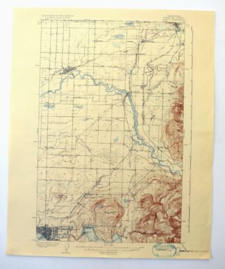
Sumas Washington Bellingham Lynden USGS 15-Min Topo Map 1931
$57 Add to cart -
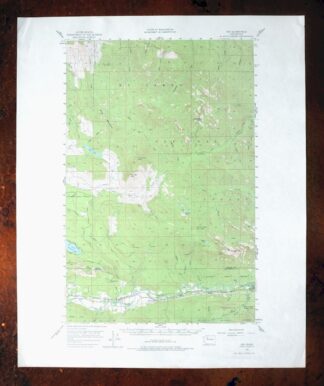
Oso Washington Lake Cavanaugh USGS Topo Map 1977 Vintage
$40 Add to cart -
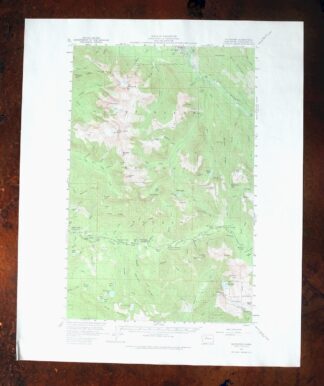
Silverton Washington Darrington Verlot USGS Topo Map 1975
$36 Add to cart -

Lummi Bay Washington Ferndale Birch Bay USGS Topo Map 1974
$47 Add to cart -
Glacier Peak Washington Suiattle River USGS Topo Map 1946
$36 Add to cart -

Lopez Pass Washington USGS 7.5-Min Topo Map 1977 Vintage
$46 Add to cart -
Oak Harbor Washington Ault Field USGS Topo Map 1977 Vintage
$48 Add to cart -
Blanca Lake Washington USGS 7.5-Min Topo Map 1982 Vintage
$40 Add to cart -

Monroe Washington Duvall High Rock USGS Topographic Map 1976
$43 Add to cart -
Edmonds East Washington Shoreline Brier USGS Topo Map 1976
$38 Add to cart -

Lucerne Washington USGS 15-Min Topographic Map 1949 Vintage
$42 Add to cart -

Edmonds West Washington Shoreline Woodway USGS Topo Map 1976
$47 Add to cart -
Port Crescent Washington Joyce USGS Topo Map 1941 Antique
$38 Add to cart -
Chopaka Washington Okanogan NF USGS Topographic Map 1917
$42 Add to cart -
Mount Angeles Washington Olympic NF USGS Topo Map 1964
$32 Add to cart -

Maple Valley Washington Covington USGS Topographic Map 1976
$43 Add to cart -

Renton Washington Seattle Kent USGS Topo Map 1976 Vintage
$38 Add to cart -
The Brothers Washington Eldon USGS Topo Map 1950 Vintage
$32 Add to cart -
Olalla Washington Vashon USGS 7.5-Min Topo Map 1975 Vintage
$30 Add to cart -
Snoqualmie Pass Washington Hyak USGS Topographic Map 1965
$21 Add to cart -
Pysht Washington USGS 15-Min Topographic Map 1942 Antique
$34 Add to cart -
Enumclaw Washington Buckley Upper Mill USGS Topo Map 1976
$42 Add to cart