MAP DETAILS | |
|---|---|
| TITLE | Boron |
| STATE | California |
| LOCATION | Vicinity of California City, 80 miles northeast of Los Angeles |
| SERIES | 15-minute |
| SURVEYED | 1932 through 1954 Field Survey |
| EDITION | 1954 |
| PRINTED | 1955 |
| PRINT NOTES | Thick paper stock |
| SCALE | 1:62500 |
| CONTOUR INTERVAL | 20 feet |
| SHEET DIMENSIONS | 17 x 21 inches (approximate) |
| MAP DIMENSIONS | 14 1/4 x 17 1/2 inches |
| COVERAGE AREA | 14 x 17 miles |
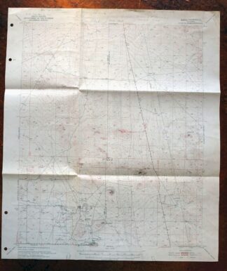
| SHEET CONDITION For maps of this vintage, effort is made to note all visible flaws, no matter how minor. | |
| OVERALL CONDITION | Fair |
| SHEET NOTES | moderately handled, has foldlines |
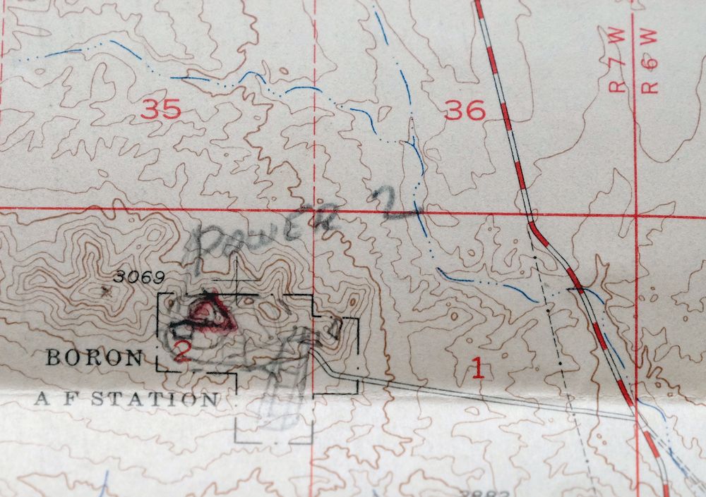
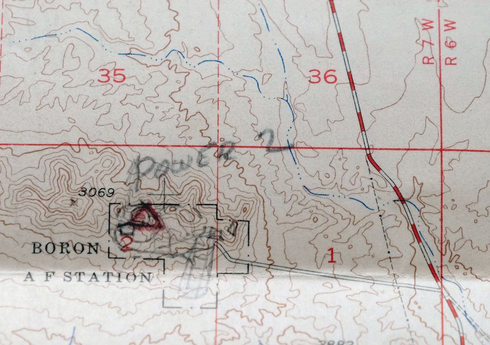
| MAP AREA | no wear, penciled notations within map area, moderate blemishing within map area, minor discoloration along one foldline |
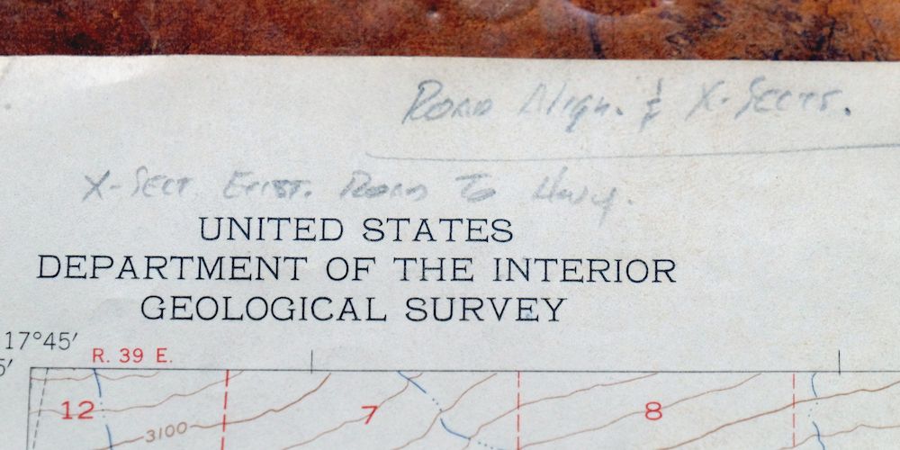
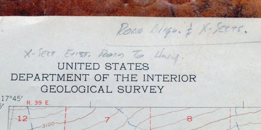
| COLLARS | no wear or tears, minor blemishes, hole punches along left collar, bottom collar trimmed back about an inch, considerable penciled notations |
  | |
| MAP COVERAGE Quadrangle extent overlaid on current basemap. | |
| PLACENAMES Depending on map series and survey date, all of the features listed below may not be shown on this map. This list contains features that currently exist or historically existed within the area covered by the map. The list can be used as a reference to determine if this map covers your area of interest. Placenames are listed alphabetically next to each feature type. | |
| CITIES AND TOWNS (CURRENT) | Boron and California City |
| COUNTIES COVERED | Kern and San Bernardino |
| FEDERAL LAND UNITS | Edwards Air Force Base |
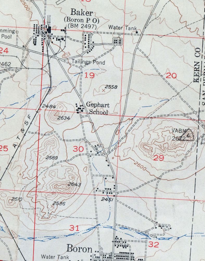
| Mountains, Peaks, and Summits: Saddleback Mountain. Parks: H Park. Mines: Baker Mine, Jennifer Mine, Russell Mine, and Western Mine. Hospitals: Boron Health Center. Buildings: Boron Fire Station. Dams: Boron T Pond 5 738-002 Dam, Boron T Pond 6 738-003 Dam, and Boron Tailings Pd 738 Dam. Airports: Borax Airport and Boron Airstrip. Schools: Boron Junior-Senoir High School, Gephart Junior High School, and West Boron Elementary School. Reservoirs and Tanks: Watershed Reservoir. Wells: Castle Butte Well. | |
| SHIPPING AND RETURNS | |
 This map sheet will be carefully rolled in a sturdy tube and shipped via the US Postal Service. If you find that the sheet you receive is not as described in the listing, you may ship it back to us for a refund of the purchase price. | |
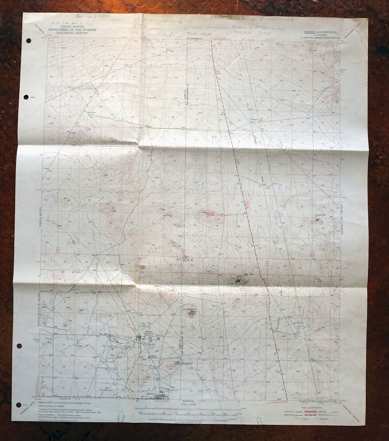
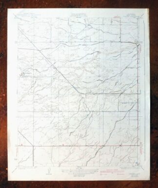
1955 Boron California USGS Topo Map: California City
$20
This is a USGS topographic map of the Boron quadrangle in California, a 15-minute sheet at 1:62,500 drawn from field survey work carried out between 1932 and 1954. It covers a stretch of the western Mojave Desert along the Kern–San Bernardino county line, taking in California City and the town of Boron 80 miles northeast of Los Angeles. This 1954 edition, printed in 1955, captures Boron when its open-pit borax mine was already one of the largest in the world, and California City in its earliest years as a planned desert community.
In stock
This vintage sheet is a 1954 edition of the Boron California USGS topographic map. It is an original 71-year-old 1955 United States Geological Survey print in fair condition.
HOW THIS MAP CAN BE USED
In addition to making a fascinating conversation piece, this sheet would make a unique and prized gift for anyone interested in this area, be perfect as a reference for genealogy studies or general historical research, or fill that missing piece in your collection. Maps of this vintage are printed on durable stock and are well-suited for outdoor activities and recreation of all kinds, including hiking, backpacking, hunting, rafting and kayaking, backcountry skiing, geocaching, general exploration, treasure hunting, etc.
FEATURES SHOWN ON THE MAP
The Boron 15-minute map shows cities and towns, roads, railroads, utilities and energy infrastructure, rivers, creeks, elevation contour lines, public land survey lines, county, state, and other administrative boundaries as they existed at the time of the survey in 1932 through 1954. All known structures (houses, businesses, churches, schools, barns, cabins, etc) are also shown.
A VALUABLE HISTORICAL RECORD
Maps from the 15-minute series for the continental United States are no longer produced or printed by the USGS and original prints are becoming increasingly difficult to find. They are a valuable historical record for an area, as they contain many placenames and features that have been dropped from more recent maps.
Nearby maps
-
Rosamond California Lancaster Actis USGS Topo Map 1957
$27 Add to cart -
Shadow Mountains California El Mirage USGS Topo Map 1948
$28 Add to cart -
Apple Valley California Bell Mountain USGS Topo Map 1968
$29 Add to cart -

Emerald Mountain California USGS 15-Min Topographic Map 1943
$37 Add to cart -
San Antonio California Wrightwood USGS Topo Map 1903 Antique
$42 Add to cart -
Rock Creek California Angeles NF USGS Topo Map 1903 Antique
$52 Add to cart -
Neenach California USGS 15 Minute Topo Map 1962 Vintage
$37 Add to cart -
Cucamonga California Ontario Chino USGS Topographic Map 1917
$30 Add to cart -
1959 Ontario California USGS Topo Map: Chino
$54 Add to cart -

San Fernando California Angeles NF USGS Topographic Map 1955
$26 Add to cart -
1969 USGS Topo Map: Ontario, Rancho Cucamonga, California
$35 Add to cart -
Telescope Peak California USGS 15-Min Topo Map 1973 Vintage
$38 Add to cart -
Fairfax School California Lamont USGS Topographic Map 1939
$44 Add to cart -
California Hot Springs California USGS Topo Map 1974 Vintage
$46 Add to cart -
Oil Center California Bakersfield USGS Topo Map 1970 Vintage
$40 Add to cart -
1980 Oat Mountain California USGS Topo Map: Los Angeles
$34 Add to cart -
Gosford California Bakersfield USGS Topo Map 1941 Antique
$43 Add to cart -
Gosford California Bakersfield USGS Topo Map 1970 Vintage
$27 Add to cart -
Santa Susana California Brandeis USGS Topographic Map 1970
$42 Add to cart -
Riverside East California Edgemont USGS Topographic Map 1955
$40 Add to cart -
Panamint Butte California USGS 15-Min Topo Map 1967 Vintage
$39 Add to cart -

Quincy School California White River USGS Topo Map 1929
$30 Add to cart -
Camp Nelson California USGS 15-Min Topo Map 1977 Vintage
$40 Add to cart -
Stevens California Bakersfield Rosedale USGS Topo Map 1940
$38 Add to cart