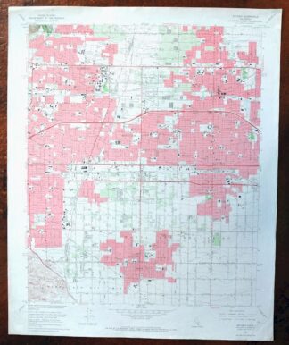
MAP DETAILS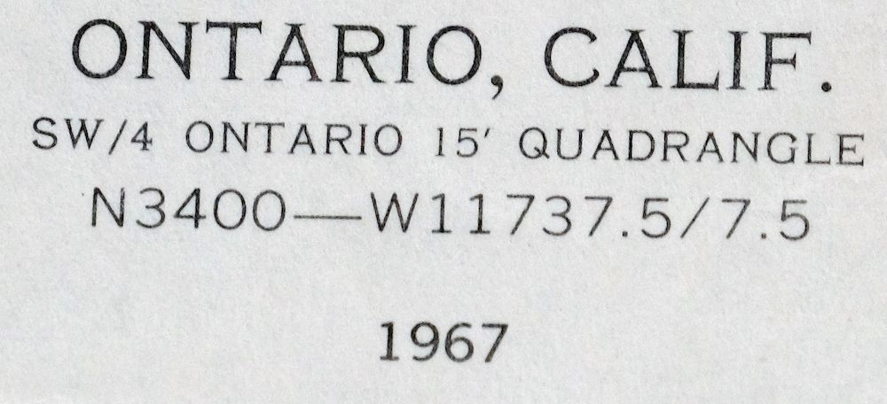 | |
|---|---|
| TITLE | Ontario |
| STATE | California |
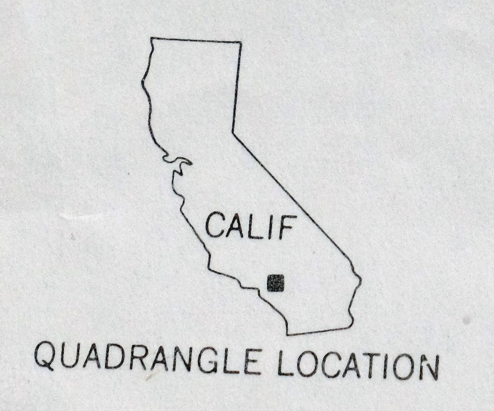
| LOCATION | 32 miles east of Los Angeles |
| SERIES | 7.5-minute |
| SURVEYED | 1925 through 1967 Aerial and Field Survey |
| EDITION | 1967 |
| PRINTED | 1969 |
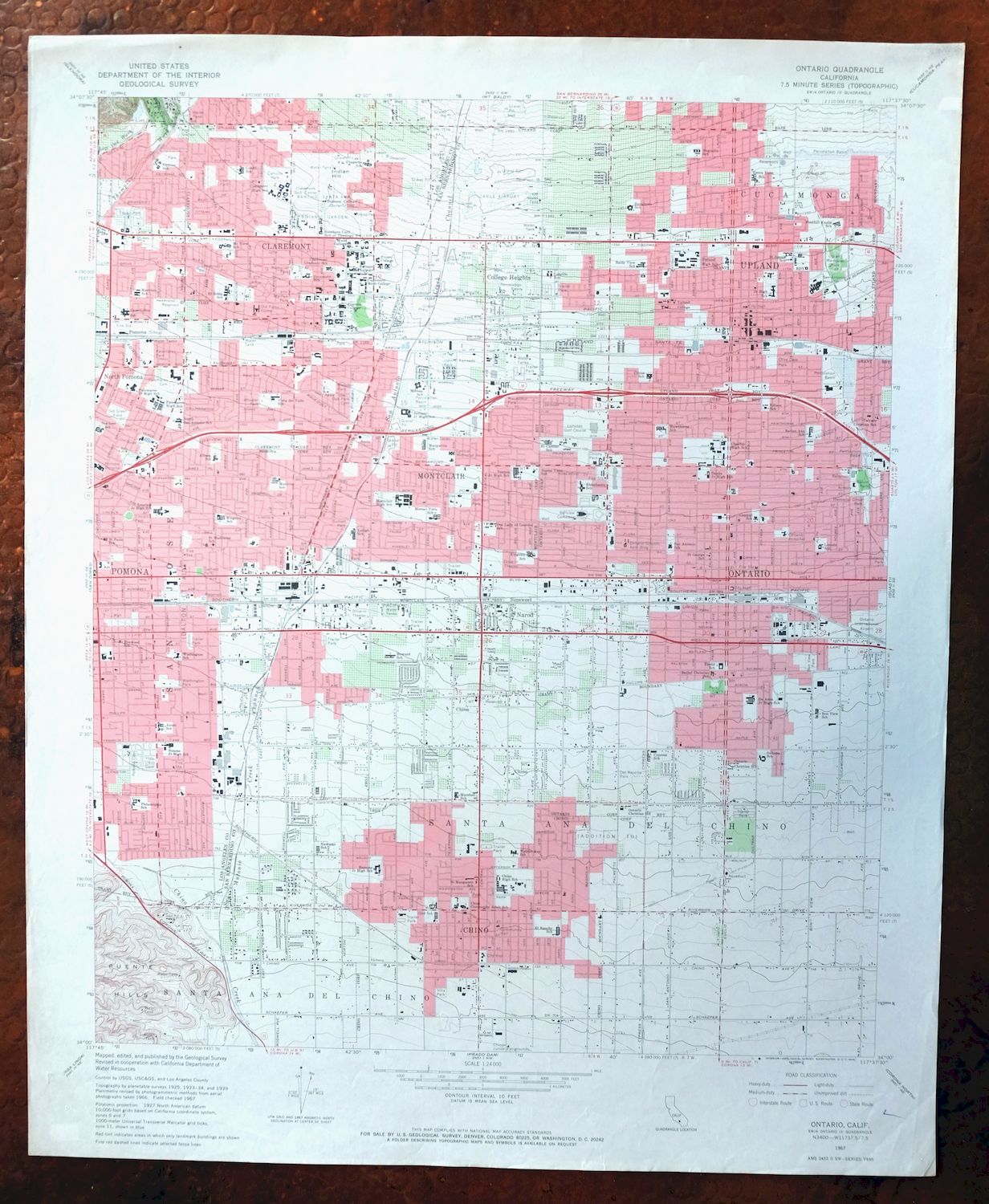
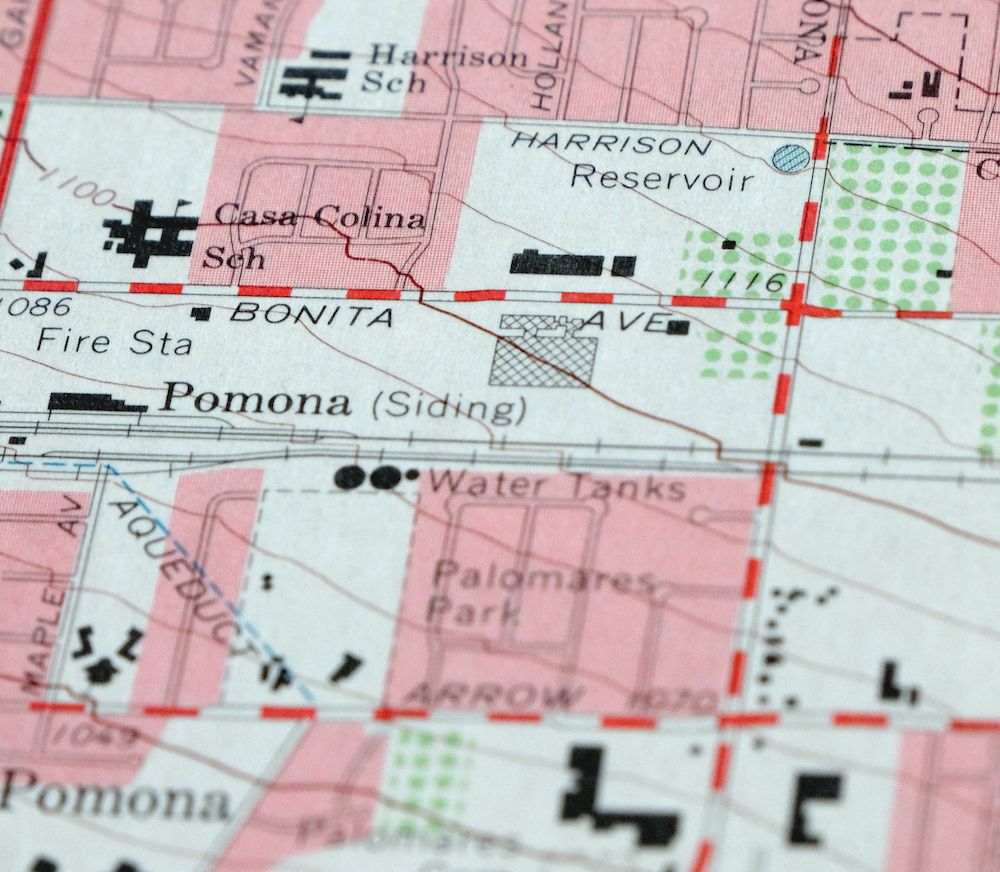
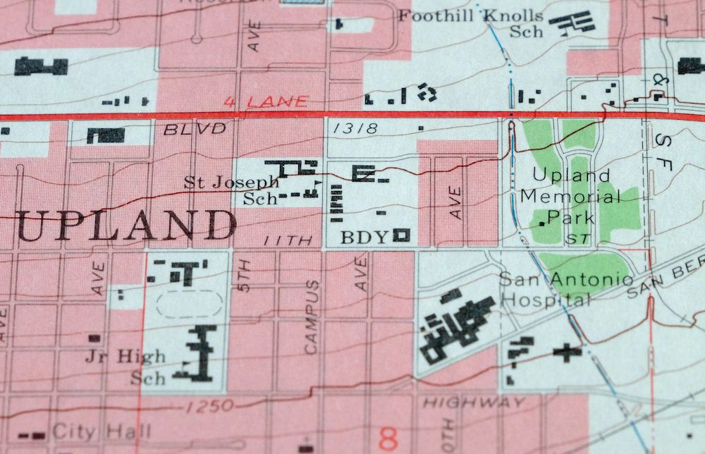
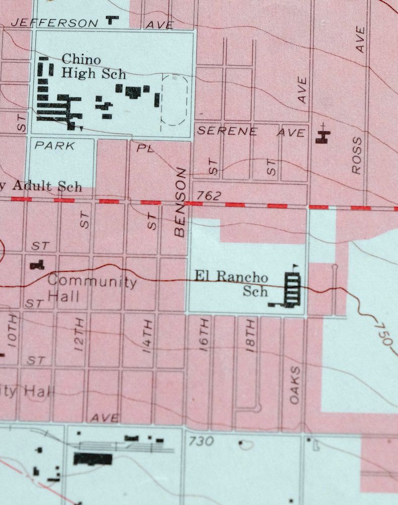
| PRINT NOTES | Thick paper stock, includes woodland tint (green to indicate vegetated areas). A reddish tint is used to indicate urban areas where only landmark buildings are shown. |
| SCALE | 1:24000 |
| CONTOUR INTERVAL | 10 feet |
| SHEET DIMENSIONS | 22 x 27 inches (approximate) |
| MAP DIMENSIONS | 18 7/8 x 22 3/4 inches |
| COVERAGE AREA | 7 x 9 miles |
| SHEET CONDITION For maps of this vintage, effort is made to note all visible flaws, no matter how minor. | |
| OVERALL CONDITION | Excellent |
| SHEET NOTES | lightly handled, never folded |
| MAP AREA | flawless map area |
| COLLARS | no wear or tears, single small checkmark notation in lower right collar corner |
| MAP COVERAGE Quadrangle extent overlaid on current basemap. | |
| PLACENAMES Depending on map series and survey date, all of the features listed below may not be shown on this map. This list contains features that currently exist or historically existed within the area covered by the map. The list can be used as a reference to determine if this map covers your area of interest. Placenames are listed alphabetically next to each feature type. | |
| CITIES AND TOWNS (CURRENT) | Chino, Chino Hills, Claremont, College Heights, Montclair, Narod, Ontario, Pomona, Rancho Cucamonga, and Upland |
| COUNTIES COVERED | Los Angeles and San Bernardino |
| RIVERS AND STREAMS | Chino Creek, Live Oak Wash, San Antonio Creek Channel, and San Jose Creek |
| Locations: Alpha Beta Shopping Center, Central Plaza Shopping Center, Chino Junior Fairgrounds, Chino Plaza Shopping Center, Chino Town Square Shopping Center, Chino Towne Center Shopping Center, Chino Towne Promenade Shopping Center, Chino Valley Shopping Center, Claremont Center Shopping Center, Claremont Golf Course, Claremont Heights Shopping Center, College Center Shopping Center, Country Fair Shopping Center, Foothill Business Center, Foothill Plaza Shopping Center, Foothill Shopping Center, Foothill and Towne Shopping Center, Galvin Park Shopping Center, Garey Shopping Center, Griswolds Old School House Shopping Center, Indian Hill Marketplace Shopping Center, Mayfair Shopping Center, Montclair Center Shopping Center, Montclair Central Shopping Center, Montclair East Shopping Center, Montclair Entertainment Plaza Shopping Center, Montclair Plaza Shopping Center, Montclair Towne Square Shopping Center, Montclair Village Shopping Center, Montclair Village Square Shopping Center, Mountain Plaza Shopping Center, Mountain Square Shopping Center, Mountain Village Plaza Shopping Center, Mulberry Plaza Shopping Center, New Orleans Square Shopping Center, North Hills Square Shopping Center, Ontario Plaza Shopping Center, Ontario Village Shopping Center, Payne Ranch Center, Pepper Tree Square Shopping Center, Pomona, Ramona Town Center Shopping Center, Stater Brothers Shopping Center, The Old School House Shopping Center, The Plaza Shopping Center, Upland Country Village Shopping Center, Upland Shopping Center, Upland Square Shopping Center, Upland Village Shopping Center, Upland Village Square Shopping Center, Uptown and Country Shopping Center, Vanderbilt Square Shopping Center, and Village Grove Shopping Center. Administrative Boundaries: Santa Ana Del Chino. Mountains, Peaks, and Summits: Indian Hill. Valleys and Canyons: Live Oak Canyon and Webb Canyon. Parks: Baldy View Park, Blaisdell Park, Bon View Park, Centennial Park, Chaparral Park, Citrus Park, College Park, Colony Park, D Street Park, De Anza Park, Del Rancho Park, El Barrio Park, Eleventh Street Park, Essex Park, Fern Reservoir Park, Galvin Park, Garfield Park, Golden Girls Softball Field, Greenbelt Park, Griffith Park, Harrison Park, Hoffman Park, John F Kennedy Park, Kingsley Park, Larkin Park, Lewis Park, Lincoln Park, MacArthur Park, Marlow Park, Memorial Grove Park, Monte Vista Park, Montvue Park, Moreno Vista Park, Mountain View Park, Oaks Avenue Pioneer Park, Olive Dale Park, Palomares Park, Pomona Jaycees Community Park, Rancho Santa Ana Botanic Garden, San Antonio Park, Saratoga Park, Sebring Park, Sierra Vista Park, Sunrise Park, Sunset Park, Ted Green Field, Ted Greene Park, Tenth Street Park, Unity Park, Villa Park, Wardens Field, Washington Park, Wheeler Park, and Wilderness Basin Park. Churches: Apostolic Assembly Church, Apostolic Faith Mission, Bethany Baptist Church, Bethany Cambodian Evangelical Church, Bethany Community Church, Brethren in Christ Church, Buddhist Temple of America, Calvary Baptist Church, Calvary Church, Calvary Faith Center, Church of Christ, Church of Christ of Montclair, Church of God, Church of God of Montclair, Church of God of Prophecy, Church of the Nazarene, Cornerstone Community Church, Country Church of Ontario, Eleventh Street Baptist Church, Evangelical Assembly of God Church, First Assembly of God Church of Montclair, First Baptist Church, First Baptist Church of Montclair, First Baptist Church of Upland, First Christian Church, First Church of Christ Scientist, First Free Methodist Church, First Lutheran Church, First Mennonite Church, First Methodist Church, First Pentecostal Church, First Presbyterian Church, First United Methodist Church, Foothill Bible Church, Friendship Missionary Baptist Church, Friendship Spiritualist Center, Grace Missionary Baptist Church, Hungarian Reformed Church, Indonesian Seventh Day Adventist Church, Kingdom Hall of Jehovahs Witnesses, Korean Church of Pomona Valley, Latin American Church of the Nazarene, Life Bible Fellowship Church, Love Sanctuary Church of God in Christ, Montclair Christian Church, Mountain Avenue Assembly of God Church, New Apostolic Church, New Revelation Baptist Church, Ontario Christian Reformed Church, Our Lady of Guadalupe Roman Catholic Church, Our Lady of Lourdes Catholic Church, Pilgrim Congregational Church, Pilgrim Holiness Church, Pioneer Free Will Baptist Church, Plum Avenue Baptist Church, Praise Chapel, Prince of Peace Lutheran Church, Princeton Free Will Baptist Church, Redeemer Lutheran Church, Reorganized Church of Jesus Christ of Latter Day Saints, Revival Center Church, Rock of Faith Fellowship Church, Saint George Catholic Church, Saint Josephs Roman Catholic Church, Saint Marks Episcopal Church, Saint Pauls Lutheran Church, Seventh Day Adventist Church, Seventh Day Church of God, South Euclid Baptist Church, Southside Church of God, Sovereign Grace Baptist Church, The Church of Jesus Christ of Latter Day Saints, Trinity Lutheran Church, Trinity Methodist Church, Trinity United Methodist Church, Unitarian Society of Pomona Valley, United Pentecostal Church, Upland Church of Christ, Upland Community Foursquare Gospel Church, Verbo Centro Cristiano, Westminster Presbyterian Church, Westpark Baptist Church, and Word of Life Church of God. Hospitals: Central Memorial Hospital, Chino Community Hospital, Old San Antonio Hospital, Ontario Hospital, Pomona Valley Hospital, and San Antonio Hospital. Buildings: Chino Branch San Bernardino County Library, Claremont Branch County of Los Angeles Public Library, Claremont City Hall, F C Crowell Memorial Hall, Fire Station Number 1, Fire Station Number 2, Montclair Branch San Bernardino County Library, Montclair City Hall, Ontario City Library, Ontario Schools Administration Building, Pomona Public Library, Upland City Hall, Upland Public Library, Weber Memorial Library, and West End Multi-Service Center. Canals: San Antonio Creek Channel. Airports: Cable Airport. Schools: Alcott Elementary School, Alicia E Cortez Elementary School, Allison Elementary School, Anna Borba Fundamental School, Armstrong Memorial Education Building, Baldy View Elementary School, Barfield Elementary School, Berlyn Elementary School, Bethel Christian School, Bon View Elementary School, Buena Vista Continuation High School, Buena Vista Kindergarten, Cabrillo School, Calvary Christian School, Casa Colina School, Central Elementary School, Chaffey High School, Chaparral Elementary School, Chino High School, Chino Unified Alternative Education School, Citrus Elementary School, Claremont Graduate School, Claremont High School, Claremont McKenna College, Condit Elementary School, Danks Junior High School, De Anza Middle School, Don Antonio Lugo High School, Doris Dickson Elementary School, Edison Elementary School, El Camino Elementary School, El Rancho Elementary School, El Roble Intermediate School, Elderberry Elementary School, Elmwood School, Emerson Junior High School, Euclid Elementary School, Foothill Knolls Elementary School, Harrison Elementary School, Hawthorne Elementary School, Hillside High School, Howard Cattle Elementary School, Howard Elementary School, Kingsley Elementary School, Lehigh Elementary School, Lincoln Development Center, Lincoln School, Linda Vista Elementary School, Lyle S Briggs Fundamental School, Magnolia Elementary School, Magnolia Junior High School, Margarita Elementary School, Marshall School, Mission Elementary School, Montclair High School, Monte Vista Elementary School, Montvue Elementary School, Moreno Elementary School, Mountain View Elementary School, Mudd College, Newman Elementary School, Oakmont Elementary School, Ontario Christian High School, Ontario High School, Our Lady of Lourdes School, Palomares Junior High School, Philadelphia Elementary School, Pitzer College, Pomona College, Pomona Junior College, Pomona Senior High School, Ramona Elementary School, Ramona Junior High School, Redeemer Lutheran School, Richard E Haynes School, Richard Gird Elementary School, Saint George School, Saint Joseph School, Saint Madeline School, Saint Margarets School, Saint Pauls School, San Antonio School, San Jose Elementary School, Scripps College, Serrano Middle School, Sierra Vista Elementary School, Simons Junior High School, Southern California School of Theology, Sultana Elementary School, Sumner Elementary School, Sycamore Elementary School, Upland College, Upland Elementary School, Upland High School, Upland Junior High School, Vernon Middle School, Vina Banks Junior High School, Vista Del Valle Elementary School, Walnut Avenue Elementary School, Washington Elementary School, Westward Ho Riding Academy, and Woodcrest Junior High School. Reservoirs and Tanks: Ontario Reservoir Number 1 and Thirteenth Street Reservoir. Towers: KMNY-AM (Pomona), KSPC-FM (Claremont), and KTSJ-AM (Pomona). | |
| SHIPPING AND RETURNS | |
 This map sheet will be carefully rolled in a sturdy tube and shipped via the US Postal Service. If you find that the sheet you receive is not as described in the listing, you may ship it back to us for a refund of the purchase price. | |
1969 USGS Topo Map: Ontario, Rancho Cucamonga, California
$35
This 7.5-minute USGS topographic map of Ontario, California, is a 1967 edition printed in 1969, drawn at 1:24,000 from aerial and field surveys made between 1925 and 1967. It covers a stretch of the Inland Empire about 32 miles east of Los Angeles, taking in Ontario, Rancho Cucamonga, Pomona, Chino, and Chino Hills across the Los Angeles-San Bernardino county line. The sheet catches this area before its late-century growth, when citrus groves and open land still spread between the towns. Never folded and in excellent condition on thick stock, it would frame well.
In stock
This vintage sheet is a 1967 edition of the Ontario California USGS topographic map. It is an original 57-year-old 1969 United States Geological Survey print in excellent condition.
HOW THIS MAP CAN BE USED
In addition to making a fascinating conversation piece, this sheet would look great in a frame or on display, make a unique and prized gift for anyone interested in this area, be perfect as a reference for genealogy studies or general historical research, or fill that missing piece in your collection. Maps of this vintage are printed on durable stock and are well-suited for outdoor activities and recreation of all kinds, including hiking, backpacking, hunting, rafting and kayaking, backcountry skiing, geocaching, general exploration, treasure hunting, etc.
FEATURES SHOWN ON THE MAP
The Ontario 7.5-minute map shows cities and towns, roads, paths, railroads, utilities and energy infrastructure, rivers, creeks, elevation contour lines, public land survey lines, county, state, and other administrative boundaries as they existed at the time of the survey in 1925 through 1967. A reddish tint is used on this sheet to indicate urban areas where only landmark buildings are depicted. Outside of those areas, all known structures (houses, businesses, churches, schools, barns, cabins, etc) are shown.
A VALUABLE HISTORICAL RECORD
This map is from the 7.5-minute series, the most detailed series that is widely available from the USGS. The 1967 Ontario map is a valuable historical record for the area. It contains some placenames and features that have been dropped from more recent maps.
Nearby maps
-
Orange Anaheim California Vintage USGS Topographic Map 1970
$36 Add to cart -

Anaheim California Santa Ana Garden Grove USGS Topo Map 1956
$44 Add to cart -
Riverside East California Edgemont USGS Topographic Map 1955
$40 Add to cart -

1969 USGS Topo Map: Riverside East, California
$46 Add to cart -
Cucamonga California Ontario Chino USGS Topographic Map 1917
$30 Add to cart -
1959 Ontario California USGS Topo Map: Chino
$54 Add to cart -
San Antonio California Wrightwood USGS Topo Map 1903 Antique
$42 Add to cart -
Rock Creek California Angeles NF USGS Topo Map 1903 Antique
$52 Add to cart -
Inglewood California Los Angeles Torrance USGS Topo Map 1965
$45 Add to cart -
Shadow Mountains California El Mirage USGS Topo Map 1948
$28 Add to cart -

San Fernando California Angeles NF USGS Topographic Map 1955
$26 Add to cart -

1966 San Gorgonio Mountain California USGS Topo Map
$47 Add to cart -
Apple Valley California Bell Mountain USGS Topo Map 1968
$29 Add to cart -

Temecula California Fallbrook Rainbow USGS Topo Map 1978
$38 Add to cart -
1980 Oat Mountain California USGS Topo Map: Los Angeles
$34 Add to cart -
Hemet California Valle Vista Valle Vista USGS Topo Map 1943
$39 Add to cart -
Santa Susana California Brandeis USGS Topographic Map 1970
$42 Add to cart -

1950 Santa Catalina East California USGS Topo Map: Avalon
$35 Add to cart -
Rosamond California Lancaster Actis USGS Topo Map 1957
$27 Add to cart -

Santa Catalina South California USGS Topo Map 1950 Vintage
$30 Add to cart -
Newbury Park California Camarillo USGS Topographic Map 1972
$46 Add to cart -
Moorpark California Somis USGS 7.5-Min Topo Map 1978 Vintage
$42 Add to cart -
1955 Boron California USGS Topo Map: California City
$20 Add to cart -
Neenach California USGS 15 Minute Topo Map 1962 Vintage
$37 Add to cart